![]()


This walk: 2009-2-25. Sharpitor, hut circles, reeve, Leedon tor, Ingra Tor, quarry, circular crane bases, railway halt.
Walk details below - Information about the route etc.
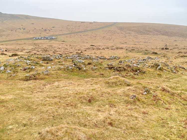
Looking across a hut circle / round house back towards the car park.
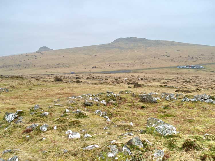
Looking over the edge of a hut circle/ round house across the road towards Leather Tor (left, SX 562 699) and Sharpitor (right, SX 559 703).
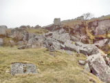
Entrance to a hut circle (left, large stones).
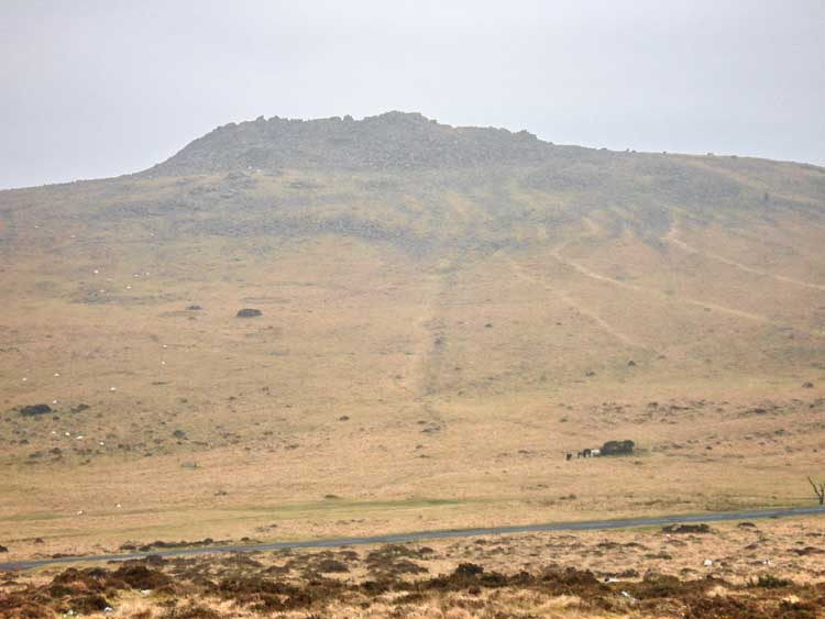
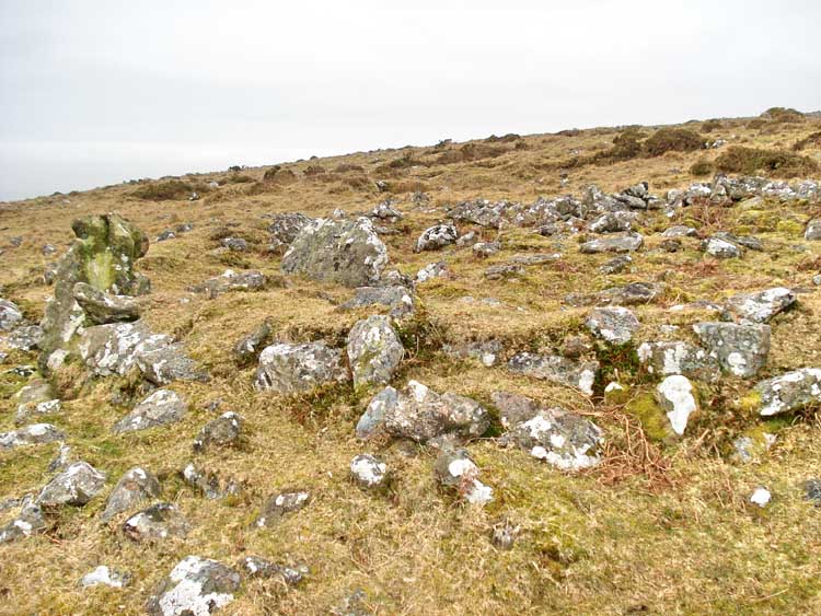
Looking up at Sharpitor along a reeve that crosses the road - note the three paths to the right, from the car park up to the tor.
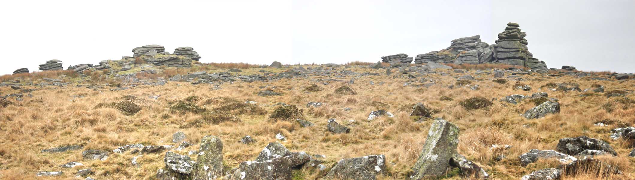
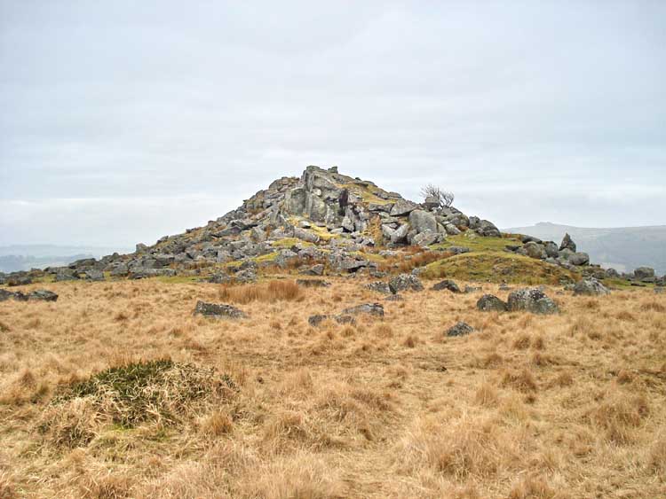
Panorama of Leedon Tor, SX 563 718. Click on the photo to see a larger version.
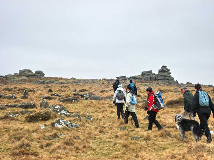
Approaching Leedon Tor.
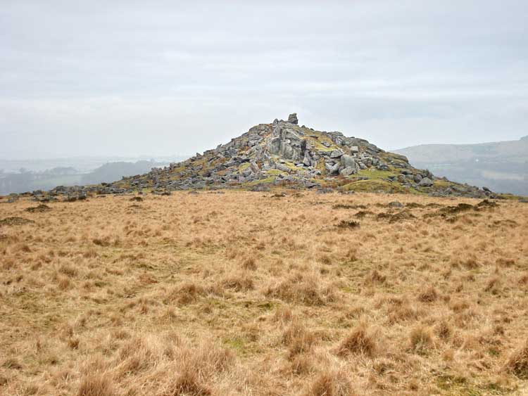
A view of Ingra Tor, SX 555 721.
A slightly later view of Ingra Tor.
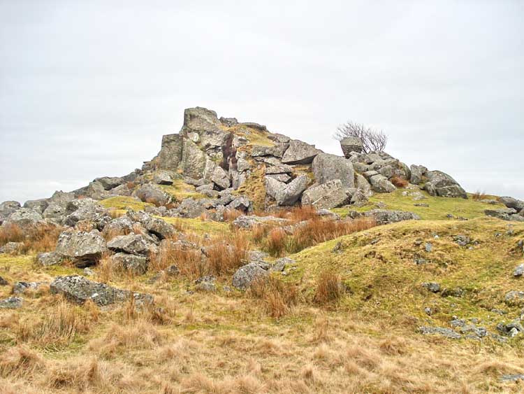
Ingra Tor.
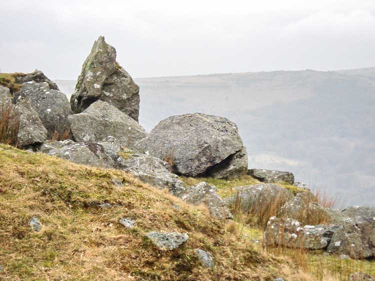
A large boulder on the slope of Ingra Tor - possibly to be featured in a forthcoming issue of Boulder Weekly?
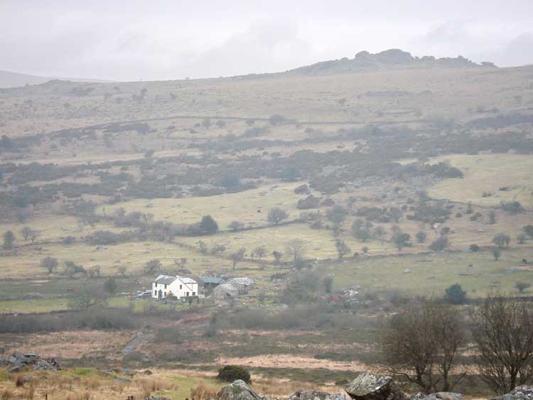
Criptor Farm, with King's Tor on the skyline (right).
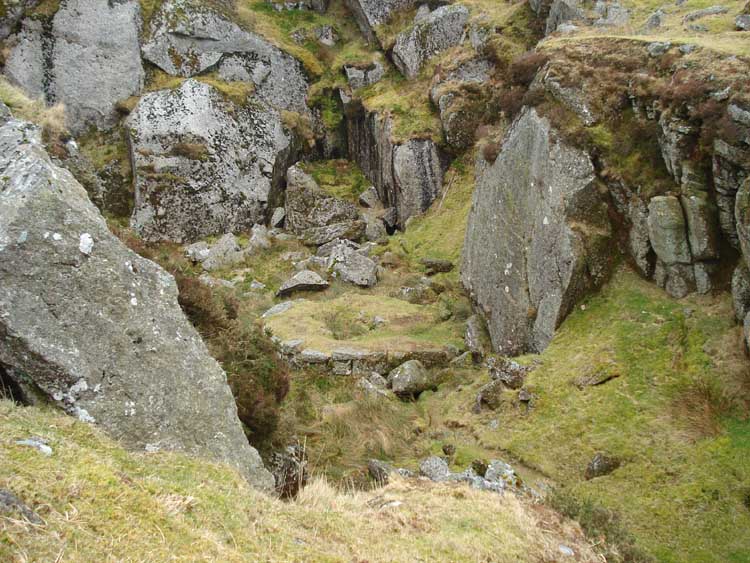
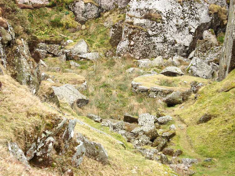
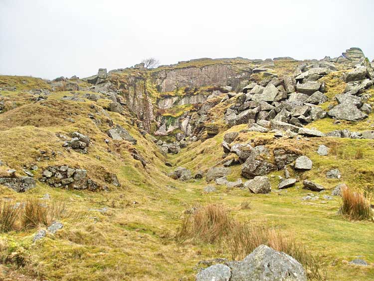
A view of a crane base (circular) inside Ingra Tor quarry.
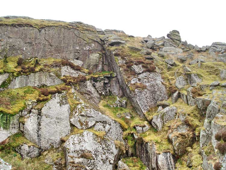
A fissure in the quarry face .....
Looking at two circular crane bases in the quarry
- taken from about as far right as I was prepared to lean!
|
Dartmoor CAM
Movies |
|
|
Tip - press F11 (at top of keyboard) to see Full Screen view.
Quicktime movie player: you may also need to
press F11
to see the Play icon u
at the bottom of the movie image if it comes up in the "Quicktime" movie
player.
Windows
Media Player: F11
also gives a Full Screen view of the movie. Press again to cancel.
Press F11 again to
return to Normal View
to get back to the "Back" button t on the browser to continue browsing. |
|
A closer view of the crane bases.
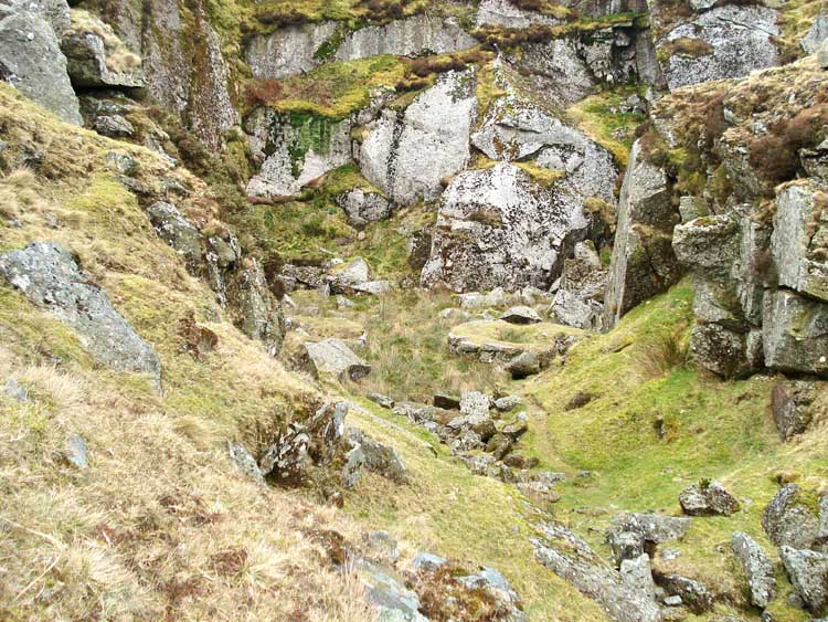
Looking into the quarry from the railway track.
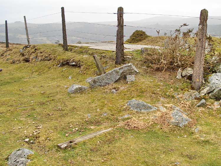
All that remains of the railway at Ingra Tor Halt, a couple of wooden sleepers and a concrete base, probably of the only small building that was here. Some details of the Princetown railway can be seen here.
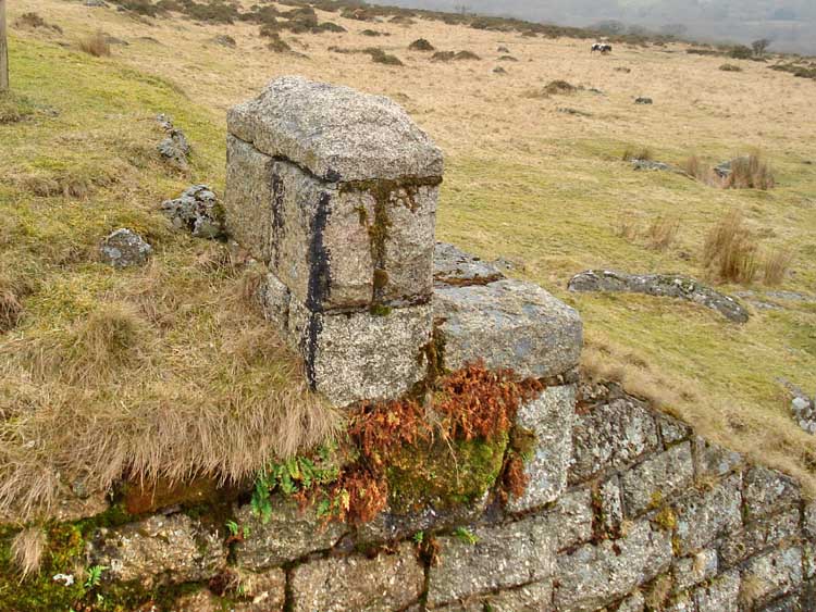
A feature of the bridge at Ingra Tor Halt.
MAP: The blue lines are the compass or GPS bearings of the planned route.
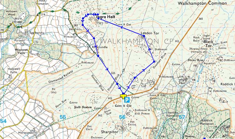
Reproduced from Dartmoor OS Explorer map 1:25 000 scale by
permission of Ordnance Survey
on behalf of The Controller of Her Majesty's
Stationery Office.
© Crown copyright. All rights reserved. Licence number 100047373.
Also, Copyright © 2005, Memory-Map Europe, with permission
Access to this walk was very simple with car parking at the P symbol and yellow cross at the car park beside the B3312 road from Yelverton to Princetown, at SX 560 708.
Statistics
Distance - 5.0 km / 3.6 miles.
Start 10 am, Finish 11.40 pm, Duration 1 hr 40 min.
All photographs on this web site are copyright ©2007-2016 Keith Ryan.