![]()


This walk: 2011-7-22. Logged timber, grey lichen, Leather Tor bridge, Leather Tor Farm "potato cave", Lether Tor Farm ruins, Devonport Leat, Norsworthy Plantation, sluice, railway sett, Stanlake Farm, Stenlake Road, clapper bridge, tormentil, rowan, Hieracium, Cross Gate Cross, waterfall, Lower Lowery barn, Cross Gate Cist.
Walk details below - Information about the route etc.

View walking up the track from Norsworthy Bridge car park - a lot of European Larch trees have been cut due to the finding of Phytophthora ramorum (Sudden Oak Death) in the plantations.

Stacked timber.

Stacked timber II.

Something lives in this hole, which is a long way up a bank, although there seemed to be no sign as to what it is - either by tracks or droppings.

Grey lichen with black fruiting bodies, on a rock under the hole in the previous photograph .....

Closer .....

Closer still.

Leather Tor Bridge: at SX 56905 69953. Walkhampton Parish Council decided on 20th June 1833 to build a bridge over Riddipit Stream at this spot (this is the site of the Riddipit Steps stepping stones crossing place). The following month it was resolved to accept a tender from George Worth and Wm. Mashford for �26.10s. Source: Eric Hemery, High Dartmoor, page 126.

Lether Tor Farm "potato cave" ..... the entrance has an iron grille/gate because the cave is closed for bat use at certain times. The bats in question are Horseshoe bats which have to fly straight in to their resting places because they cannot crawl like most other bats.

Looking out of the potato cave: 32 feet long x 7 feet wide and 8 feet high. It can be classed as a vooga (a medieval tinner's cache: Cornish tinners' term = fogou) Source: Hemery, High Dartmoor, page 126.

The ruins of Lether Tor Farm. There has been a farm here since 1362 AD The last tenant was William Lillicrap who abandoned the farm in 1924 (Source: Hemery, p. 124).

Lether Tor Farm.

Lether Tor Farm.

A curiosity very close to the ruins of Lether Tor Farm.

The back of Lether Tor Farm.

Devonport Leat running through an open area of Norsworthy plantation.

Devonport Leat with a side branch and a sluice to take excess water down to Burrator reservoir .....

View of the takeoff pipe .....

Sluice and .....

A "robbed" railway sett with an incised area for the rail and four fixing holes.

General leat view.

Where the leat runs into the plantation, looking towards the area of the Indian/Turk's doll's head.

The ruins of Stenlake Farm, where a farm existed since 1281 (Hemery, p. 129).

Part of the old Plymouth pack horse track: Stenlake Road - in 1823 William Bickle was paid 1d per yard for repairing ditches along the �road� which would have linked the Meavy Valley farms with the Walkham Valley farms. It must have been built long before wheeled conveyances were ever seen on the moor, being wide enough for packhorses.

Clapper bridge over Devonport Leat, with a gatepost being pressed into service ......

Iron gate hangers set in part of the clapper bridge.

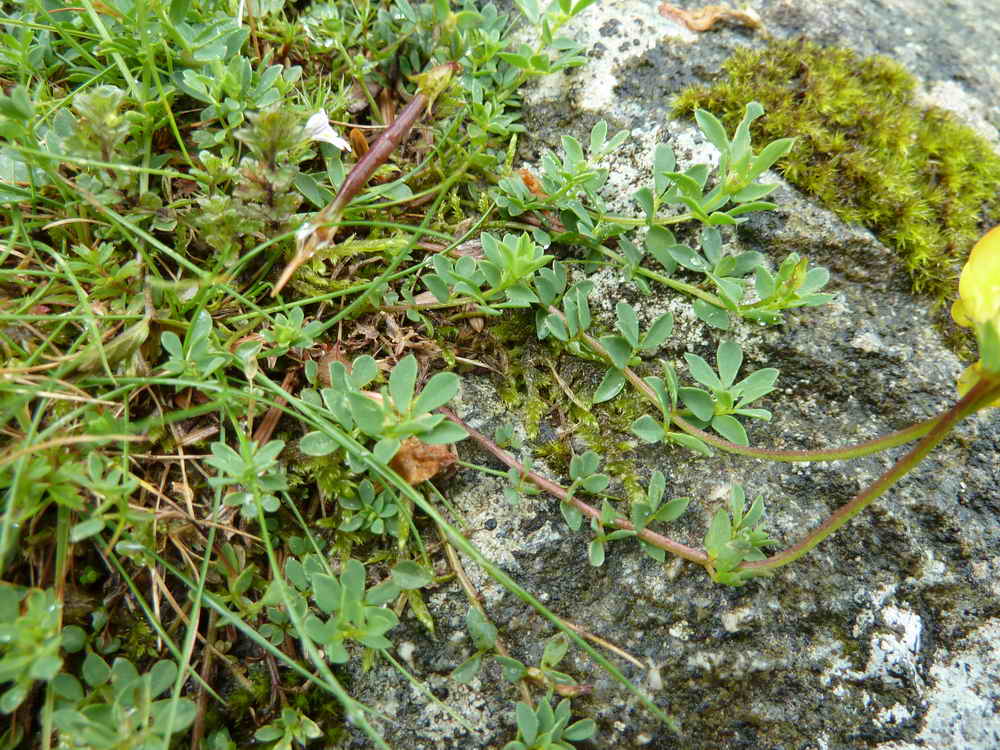
..... to be identified ..... but definitely not gorse, see the leaves!

Tormentil, Potentilla erecta.

Rowan (Mountain Ash) with clusters of red berries (early in the year?) .....

Rowan berries .....

Zoomed view.

Leat feature, for monitoring flow rate?

Unidentified Hieracium - a family of many possibilities!

Cross Gate Cross - possibly the Lethertor Cross mentioned in Walkhampton parish records around 1750.

A very busy take-off pint from the leat, running down a channel of steps that disappeared towards the reservoir although we saw no sign of it reaching the road from the car afterwards.

General leat view.

The leat crosses the small road at SX 5508 6880 .....

Exiting from under the road.

The end of Devonport leat, at SX 55008 68383 .....

A small hut down the slope below the leat end .....

"That's where it goes, down a giant plug hole!" Note the edging stone with the two holes, a granite sett "robbed" from the old horse-drawn tramway, there are several around the leat end.

Mechanism presumably for governing flow .....

Where the leat flows down the hole ..... half of the water goes to Dousland treatment works and half goes to the pipe that supplies the Burrator waterfall.

General scene .....

Nearby, the water emerges at the top of the waterfall beside the reservoir (the white spots are reflections of the flash on raindrops - it was raining heavily at the time) .....

Zoomed view.

Lower or East Lowery (corruption of Loueworthy) barn at SX 55628 69237 .....

As previous photograph ..... Sir Massey Lopes carried out a refurbishment of the farm in the 1850's and his initials appear on a lintel (we missed them) Source: Hemery, p. 118 .....

As previous photograph.

Fine figure of a tree - if it hadn't been raining so heavily I would have collected some leaves to identify it by!

Sheep's Tor, in the rain cloud.

Cross Gate Cist, SX 5631 6953, described in Jeremy Butler, 1994, Dartmoor Atlas of Antiquities Vol. 3, 45.17 Leather Tor South cairn and cist (fig. 45.14), pages 51-52 .....

The cist.

Another eye-catching tree with its layered branches
MAP: Red = GPS satellite track of the walk.

Ordnance Survey © Crown copyright 2005. All rights reserved. Licence number
100047373.
Also, Copyright © 2005, Memory-Map Europe, with permission.
This walk was accessed by driving to Burrator Reservoir and parking at Norsworthy Bridge, at the north end, marked by the yellow cross.
Statistics
Distance - 9.90 km / 6.15 miles
All photographs on this web site are copyright ©2007-2016 Keith Ryan.
All rights reserved - please email for permissions