![]()


This walk: 2014-4-16. Venford Reservoir, Holne Town Gutter, bull's eye plates, Holne Moor Leat, Mine track, dry Wheal Emma Leat, RDH stones, cairns, mine workings, Ringleshutes Mine.
Walk details below - Information about the route etc.
Link to Google Satellite view of the area - including the GPS track of the walk (compare with the Ordnance Survey map plus track below)

View from Venford car park that on the eastern edge of the reservoir.

Holne Town Gutter running to West Stoke, at SX 69018 70777.

Zoomed camera .....

"V" marks the tree in the previous photograph, looking over Venford Reservoir.

Looking east to Yar Tor (centre), Corndon Tor (behind) and Sharp Tor (right).

"Bullseye-1", water take-off plate on Holne Moor Leat to Seale's Stoke .....

Another view .....

As previous photograph.

Mine track over the Holne Moor Leat at SX 69297 70024 .....

Clapper bridge over the now-dry Wheal Emma Leat .....

The dry Wheal Emma Leat going under the bridge: the mine track is seen in the background.

As previous photograph.

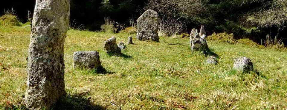
Large cairn, at SX 68650 69908 .....

A modern cairn of stones within the old cairn /////

Looking over the modern cairn to the next cairn on the hilltop ahead.

The next cairn, at SX 68493 69810.

Boundary stone at SX 68443 69782: RDH signifies Richard Dawson, Lord of the Manor of Holne, who sold 700 acres of catchment area for Venford Reservoir (itself, 33 acres), to Paignton Urban District Council (PUDC) in 1907. There are 49 of these stones.

The next cairn, SX 68095 69676: there are 8 Holne Lee cairns, arranged as alternating large and small cairns.

Closer view of the cairn.

Two RDH stones quite close together, just after the cairn above.

Looking approximately WNW at tin workings on the hillside .....

Zoomed view.

Venford Reservoir .....

Zoomed view showing the dam at the reservoir.

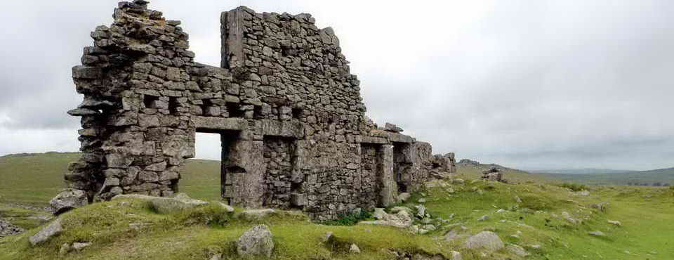
Ringleshutes Mine, SX 6755 6986, worked and reworked over many years, eventually combining with Henroost and Hooten Wheals by 1852: the pile of stones is the collapsed chimney of the engine house that was standing in 1880 but fallen by 1890 .....

Looking down into a pit (= shaft?) ......

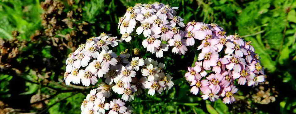
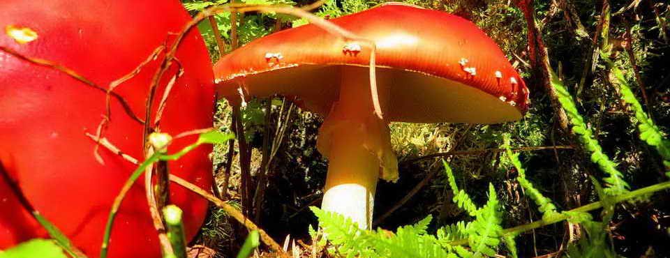
A moss, as yet not identified .....

Closer view .....

As previous photograph.

The walling in the background is the back of the engine house (the shaft crater is below the tree to the right) and the rubble in the foreground is what's left of the fallen chimney (pers. comm. by email 15 Nov. 201:.Damian Nance, Dept. of Geological Sciences, Ohio University, Athens, Ohio 45701 USA) ..... ......

Looking towards the reservoir .....

A gert .....

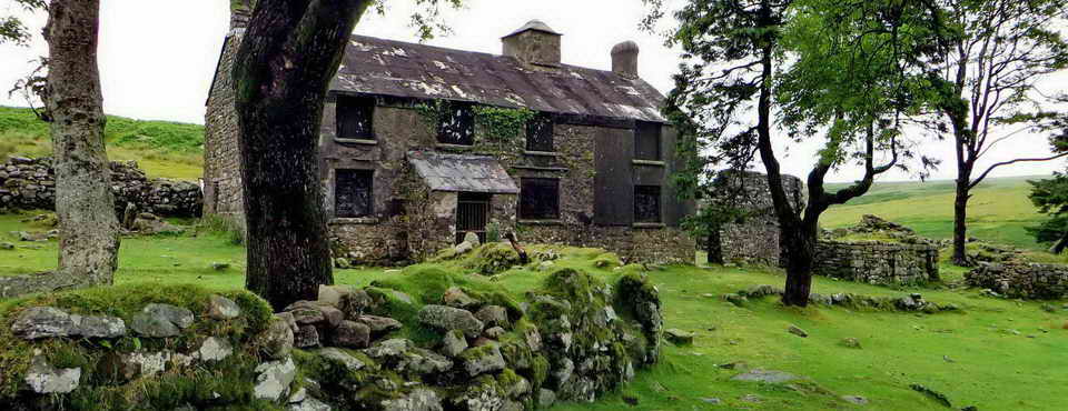
Remains of the "barracks" .....

Plant life in a stream ..... SX 68373 70095 .....

Closer view.

Another RDH stone .....

"PUDC" on the reverse side.

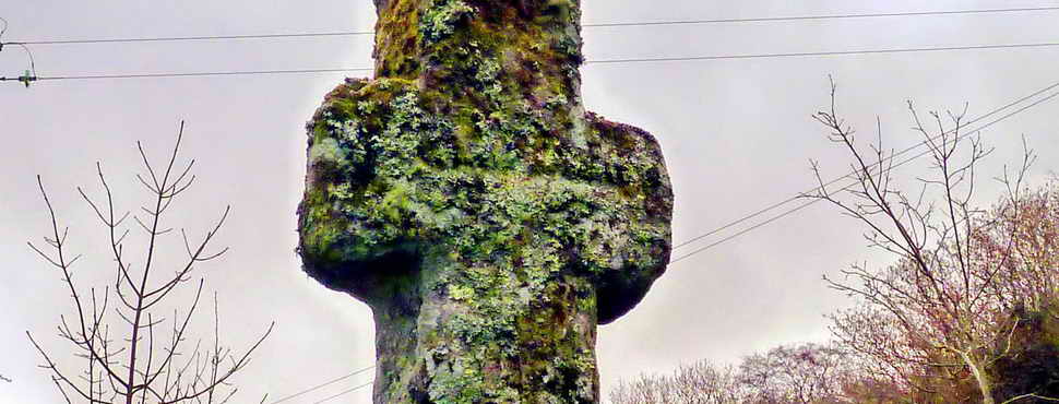
"Bullseye-3", the start of the Holne Town Gutter, at SX 68885 70353 ......

The original granite bullseye stone .....

Looking down on the water that is running from left to right.

Last view of the reservoir.
MAP: Red = GPS satellite track of the walk.

© Crown copyright and database rights 2012 Ordnance
Survey
Licence number 100047373
Also, Copyright © 2005, Memory-Map Europe, with permission.
This walk was approached from the Plymouth direction by the A38 exit at Ashburton, following the road to Holne and parking at the P symbol on the map with the yellow cross.
Statistics
Distance - 5.97 km / 3.71 miles.
All photographs on this web site are copyright ©2007-2016 Keith Ryan.
All rights reserved - please email for permissions