|
F11 - Full screen F11 - Normal view Home & Contents |
|
"Alt" +
� |
This walk: 2008-Nov-6. New Waste Gate, Redaven Gulf, Stalldon Barrow stone row, Hillson'd House, cairns, cairn and cist, settlement, hut circles, leat, clapper bridge.
Walk details below - Information about the route etc.
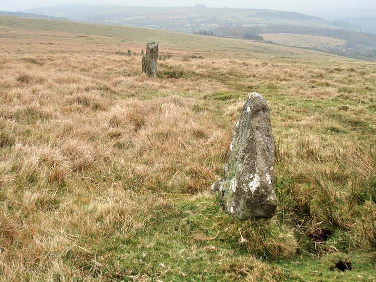
On reaching the Stalldon row, looking south, at SX 63225 62173.
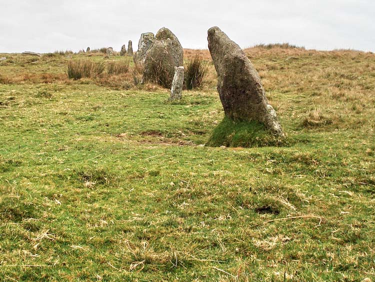
..... and looking north.
Bookends .....
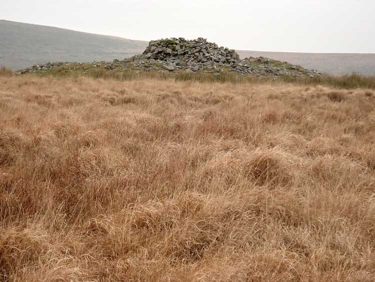
Hillson's House, or Hillson's Hut according to Crossing's Guide to Dartmoor 1912 Edition, reprinted by Peninsula Press, 1990, page 402. A shelter built on the summit of the cairn. Looking east, towards Harford Moor with Three Barrows out of view up to the left.
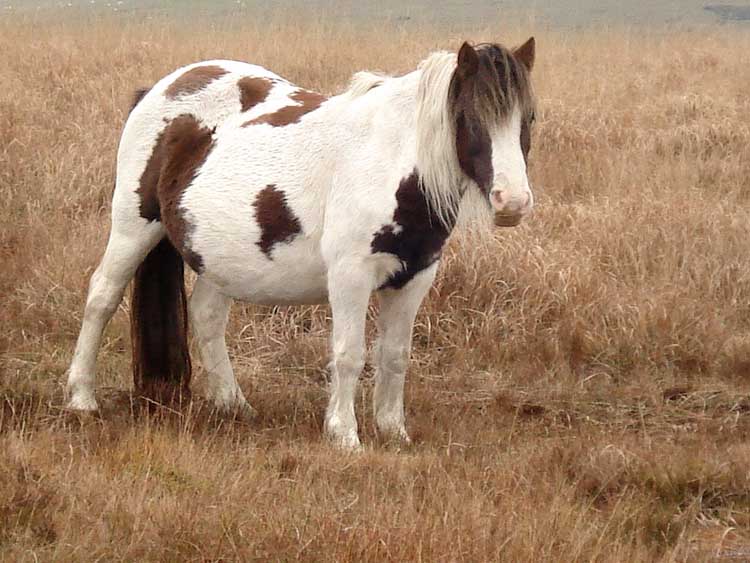
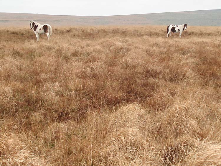
Inquisitive pony.
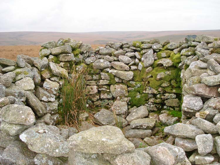
Looking into Hillson's Hut.
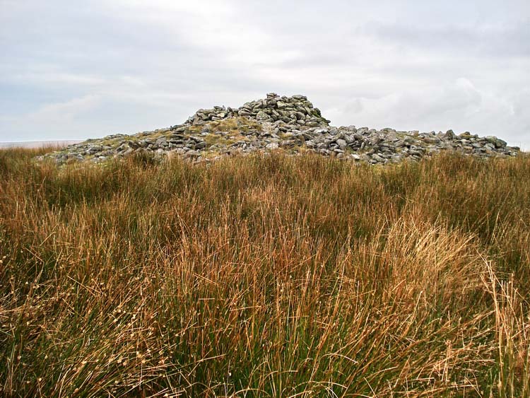
Hillson's Hut from the east.
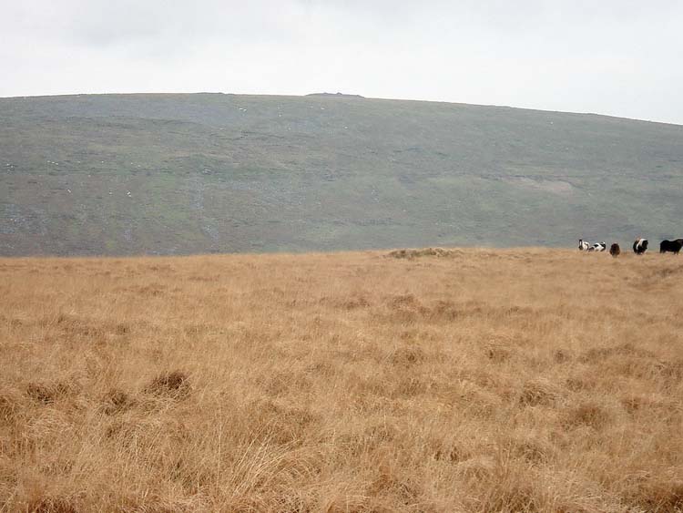
Zoomed view looking east to Three Barrows.
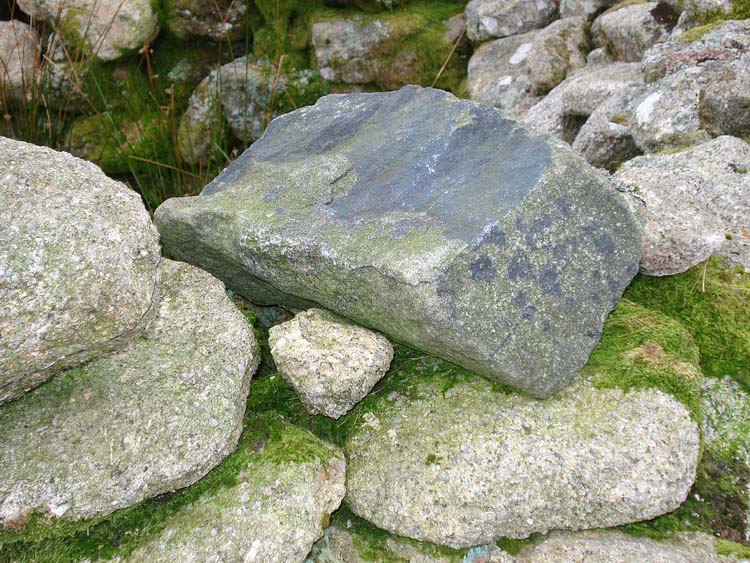
A strangely black stone in the wall of Hillson's Hut. It is actually the same granite as the others but bears a black lichen.

The four ;arge stones at the north end of the Stalldon row that are still standing, at least one other can be seen to be fallen.
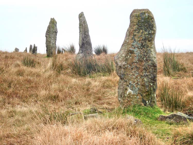
Looking south from the north end of the stone row.
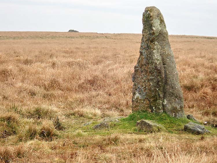
Looking from the end of the row back towards Hillson's Hut.

This is the cairn at the north end of the stone row, on the west side - it is not very photogenic from any angle .....
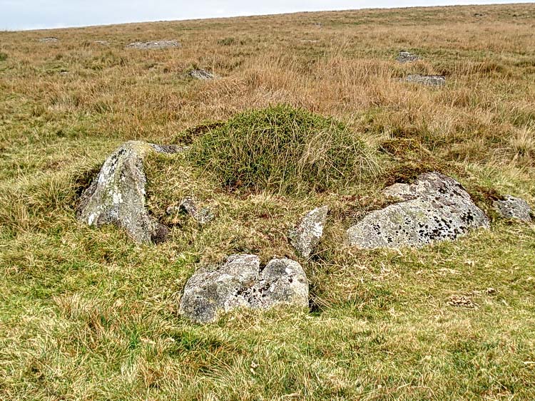
This is the cairn and cist, under the "a" in "cairn" on the map. The original 'mark' selected proved incorrect and the cist was found by reselecting a location, using SX 62450 62650, which proved very accurate. I forgot to take a GPS 'fix' at the spot.
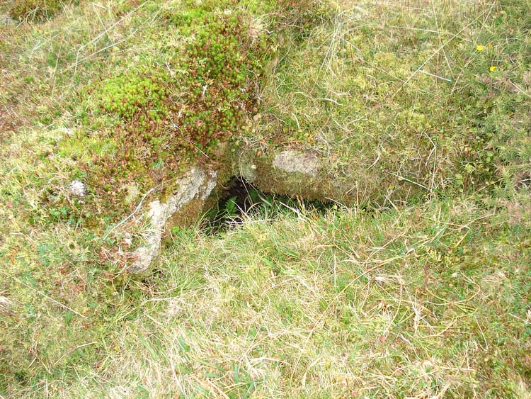
Looking into the cist.
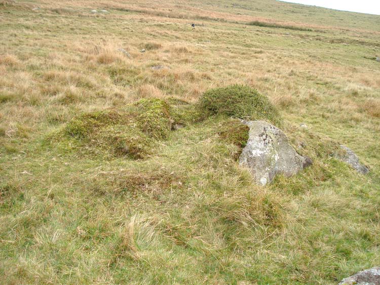
Another view of the cairn with its cist, all a little unkempt after three thousand years?.
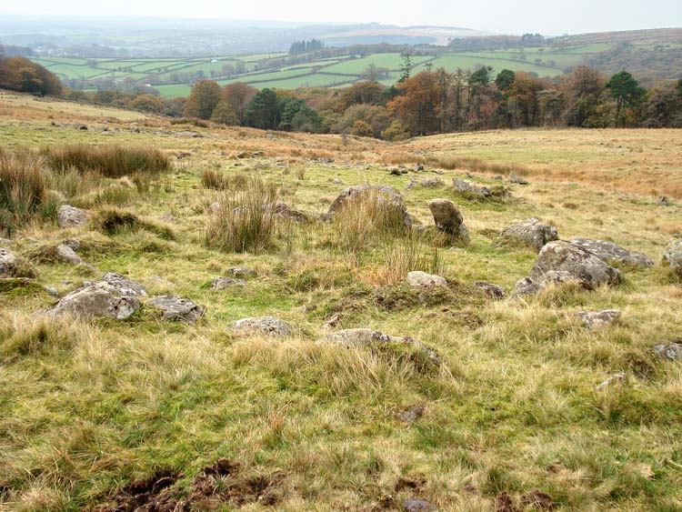
Looking west through the settlement with Dendle's Wood ahead and Hawthorn Plantation to the left and Cornwood in the distance (left).
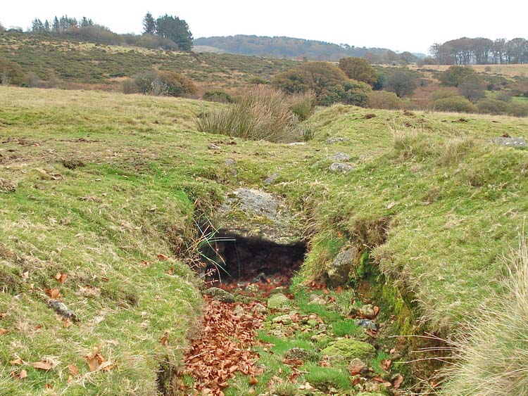
Bridge over a drainage canal/disused leat, near the gate at the end of the walk.
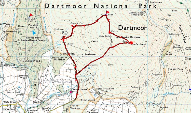
MAP: Blue = planned route, Red = GPS satellite track of the actual walk.
The blue lines are the compass or GPS bearings. The red line is the route actually walked: it deviates sometimes from the blue lines to avoid obstacles such as thick bracken, gorse, bogs or clitter, and often to use paths or animal tracks that are not on the map. It may also be shorter than the planned (blue) route if the walk is curtailed for some reason.
Reproduced from Dartmoor OS Explorer map 1:25 000 scale by
permission of Ordnance Survey
on behalf of The Controller of Her Majesty's
Stationery Office.
© Crown copyright. All rights reserved. Licence number 100047373.
Also, Copyright © 2005, Memory-Map Europe, with permission
The roads via Ivybridge or Lee Mill to Cornwood are good, then the road from Cornwood is a typical Dartmoor narrow lane. There is a small parking area at the end of the lane, through the moor gate. There is no sign on the map but the map preference is SX 62508 61108.
Statistics
Distance - 5.6 km / 3.5 miles.
Start 10.30 am, Finish 1.30 pm, Duration 3 hr 0 min.
All photographs on this web site are copyright ©2007-2016 Keith Ryan.
All rights reserved - please email for permissions
Dartmoor Tick Watch
The Cornish Pasty - The Compleat Pastypaedia
