|
F11 - Full screen F11 - Normal view Home & Contents |
|
"Alt" +
� |
This walk: 2009-3-25. Prewley Moor, reave, Sourton Tor, East Tor, The Iron Gates (marking the King's Way), Yes Tor, ice works, boundary stone, quartz.
Walk details below - Information about the route etc.
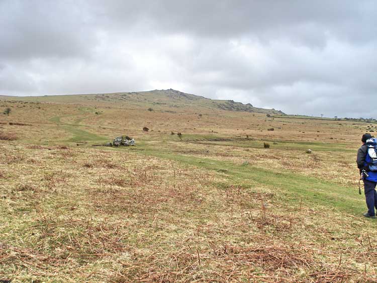
Early view across Prewley Moor of "Sourton Tors", with Sourton Tor (left) and East Tor (to the people of Sourton, right).

A reave (or reeve), a linear feature, probably the black line on the map at SX 54552 90463.
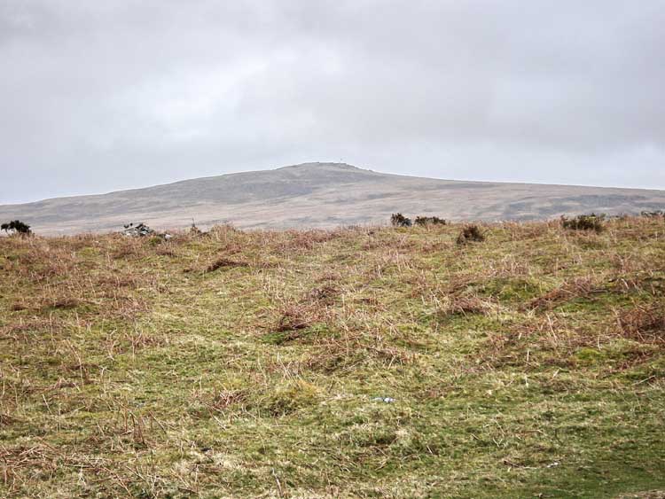
Far view of Yes Tor.
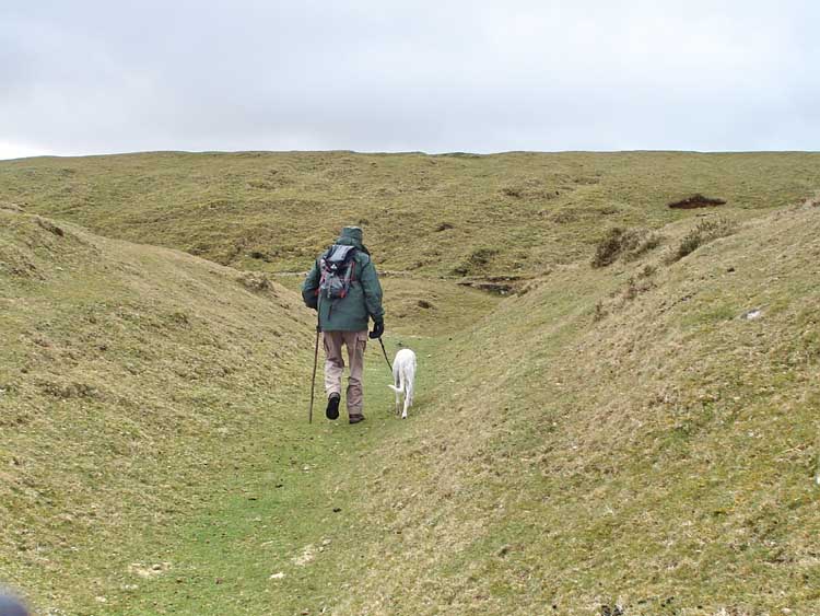
Entering the Sourton ice works, at SX 54607 90048.

Remains of the office, with more building remnants of the ice house behind, and .....
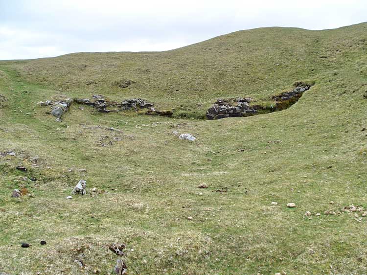
..... the view on turning around.
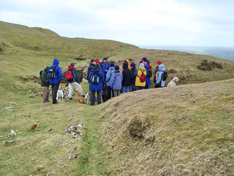
Group of walkers engrossed by .....
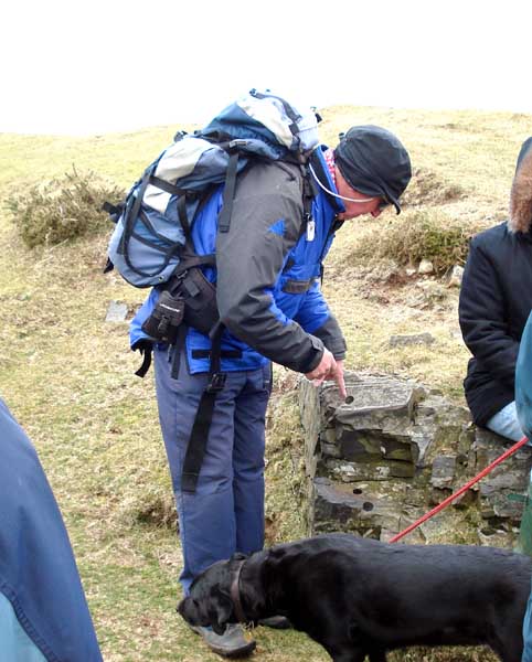
..... the fascinating tale of the Rock Worm, a locally bred worm that was trained to work in the starter holes in the rock, after being capped and swelling to build up pressure, eventually splitting the rock ..... it makes a change from the old, labour-intensive "feather-and-tare" story, doesn't it?!

Close-up of a Rock Worm hole. The rock is clearly layered, originally
sedimentary and then heated to become metamorphic ...... more details here:
Dartmoor National Park Authority - Geology and Landforms Factsheet and
Introduction to the
geology and geomorphology of the Meldon area.
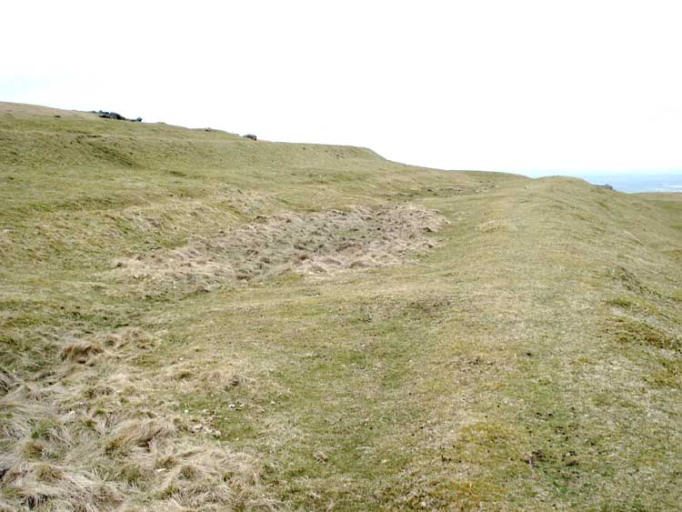
Remains of some of the ponds where the ice was made.
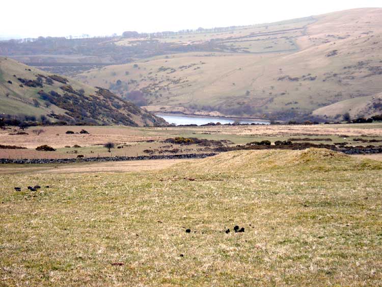
A view of Meldon Reservoir from the ice works.

Two granite posts, The Iron Gates (referred to by Crossing) marking the King's Way ancient track (or is it King Way?).
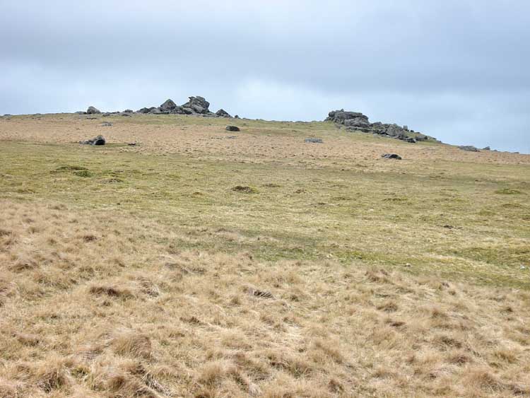
A different view of Sourton Tor.
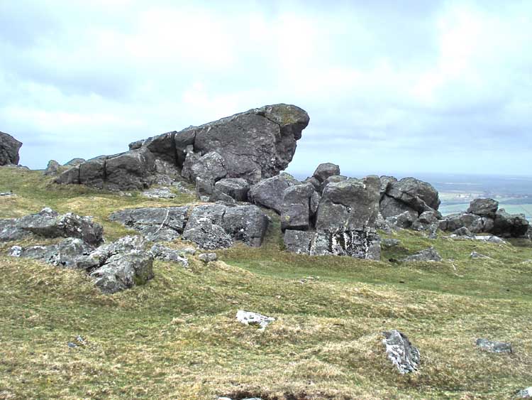
A zoomed-closer look.
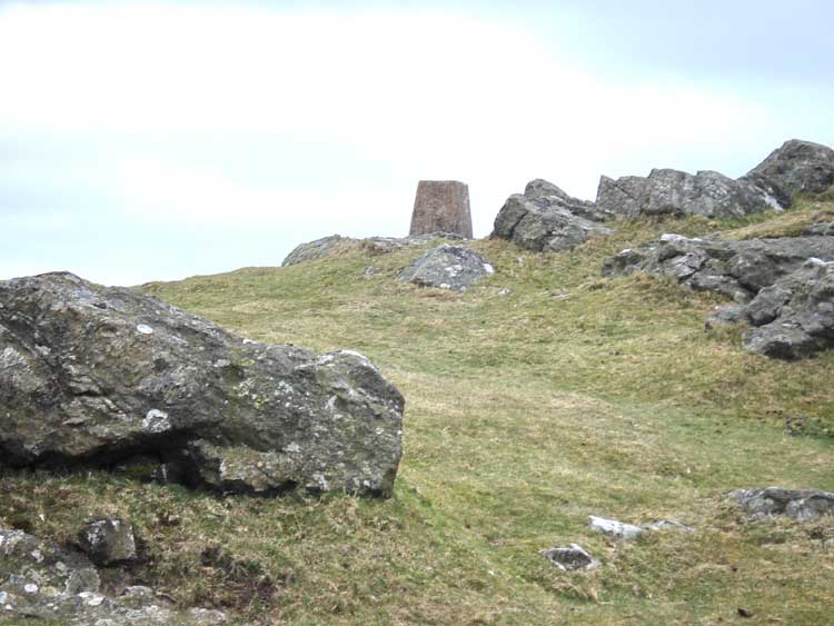
The top of the trig. point just visible on Sourton Tor (elevation 440 meters / 1443 feet).
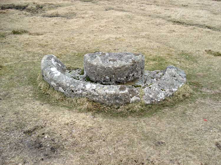
Half of an old cider apple press at SX 54637 89600 - a stone wheel would have been pulled around by a horse to crush the apples in the trough. The outer wall of the trough slopes inwards so that the contents would run back down into the trough.

A collapsed stone circle, seen from the cider press.
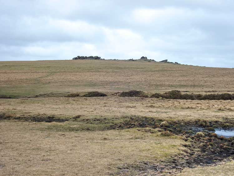
Another view of Sourton Tor as we walked around it.
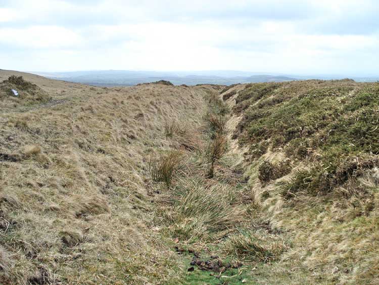
Ancient sunken track, seen from almost beside the cider press, and .....

..... viewed looking back the way we came, near the boundary stone (next photos).
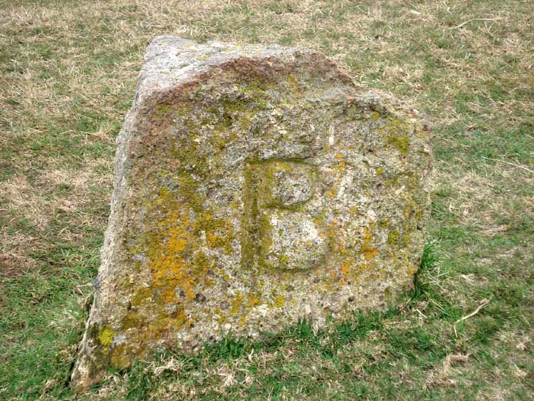
Boundary stone, marked "BS" on the map, at SX 54465 89498. The "B" signifies "Bridestowe" and .....

..... "SP" signifies "Sourton Parish".
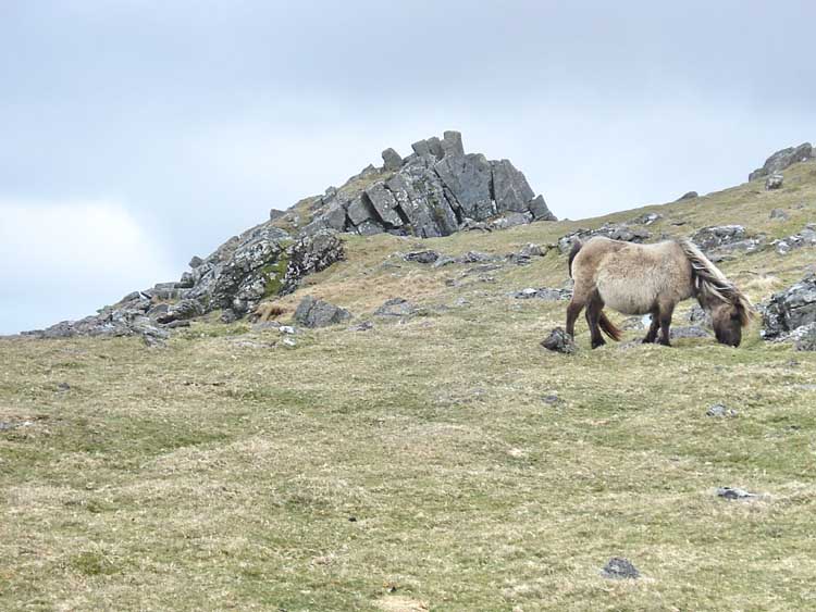
A photo opportunity? Note the upward-pointing layers in the exposed rock - perhaps not a typical granite tor?
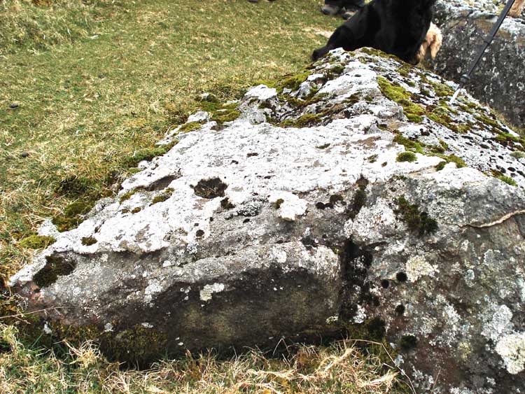
A layer of quartz melded onto another type of rock. Also: quartz.

Close-up of the quartz.
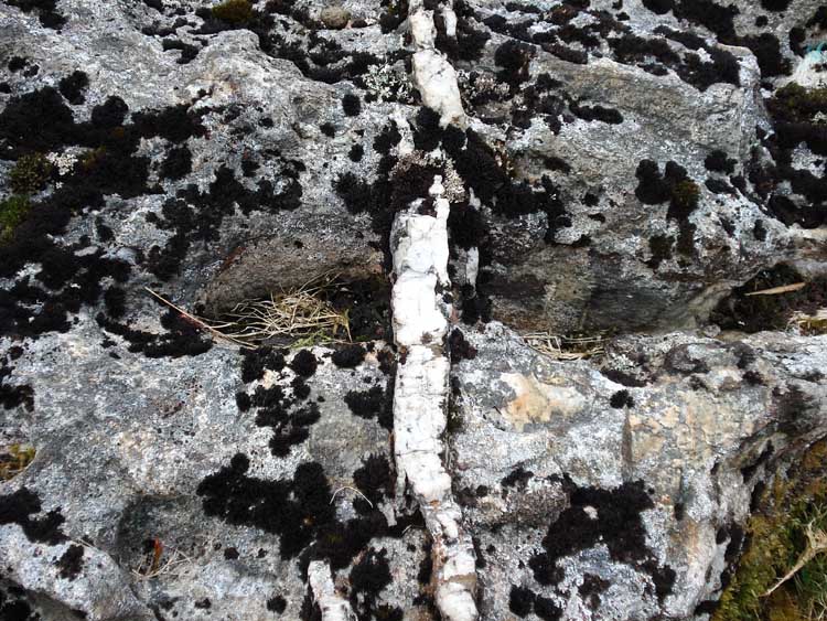
Quartz vein in a nearby rock.

A rock with lichens.
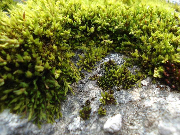
Close-up of moss.
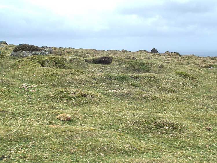
An earthen round house? Actually, a former World War II machine gun post from when the American soldiers were training prior to D-Day, 1945.

Similar to the previous photograph, an old slit trench.

Finally, back at the reave (or reeve).
The red line is the route walked, as tracked by satellite and GPS.
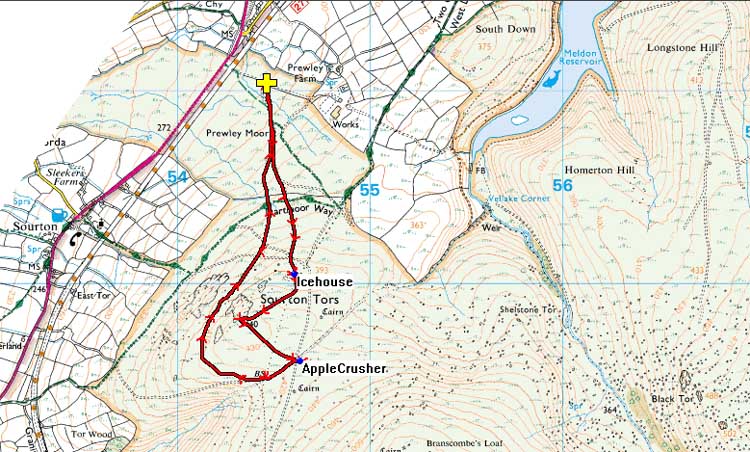
Reproduced from Dartmoor OS Explorer map 1:25 000 scale by
permission of Ordnance Survey
on behalf of The Controller of Her Majesty's
Stationery Office.
© Crown copyright. All rights reserved. Licence number 100047373.
Also, Copyright © 2005, Memory-Map Europe, with permission
Access was via the main A386 Tavistock-Okehampton road, turning off at the brown "Granite Way" sign shortly after leaving Sourton while travelling towards Okehampton. Parking is at the yellow cross symbol on the map.
Statistics
Distance - 4.99 km / 3.1 miles.
Start 10 am, Finish - 12 am.
All photographs on this web site are copyright ©2007-2016 Keith Ryan.
All rights reserved - please email for permissions
Dartmoor Tick Watch
The Cornish Pasty - The Compleat Pastypaedia
