|
F11 - Full screen F11 - Normal view Home & Contents |
|
"Alt" +
� |
This walk: 2009-3-4. Yennadon / Lowery Cross, approaching hail shower, poetry plaque, Walkhampton church, stone row, frog spawn, Brent Tor, pixies matchsticks (British Soldier Lichen or Cladonia cristatella), Great Mis Tor, Burrator Reservoir, Sheeps Tor, sett makers' bankers, Devonport leat, tree-felling.
Walk details below - Information about the route etc.

"A walk in the woods" - near Lowery Cross car park, just out of sight at top right.
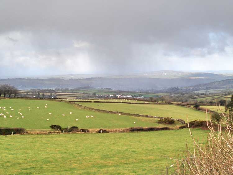
An approaching hail shower, centre of photo.
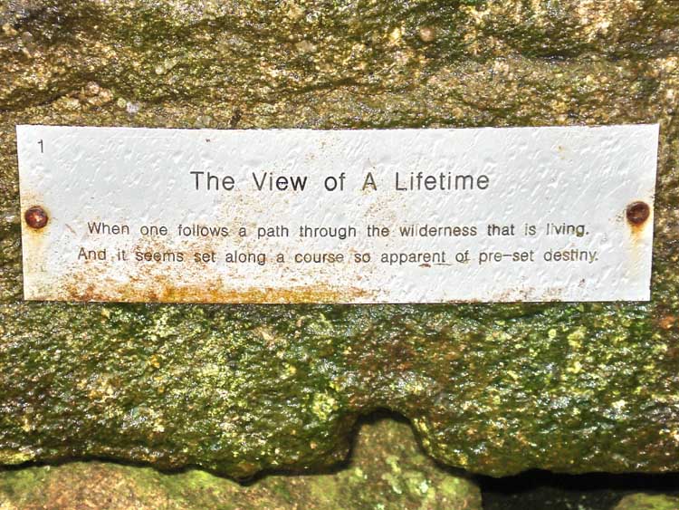
Seen on the wall on the right after crossing the B3212, part of a series of five plaques of poetry in the area, this being number 1.
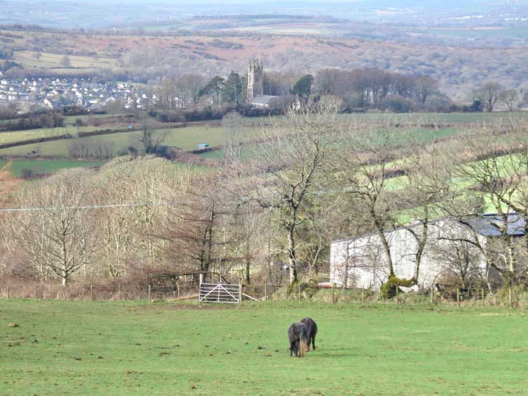
Walkhampton Church with the houses of Horrabridge.
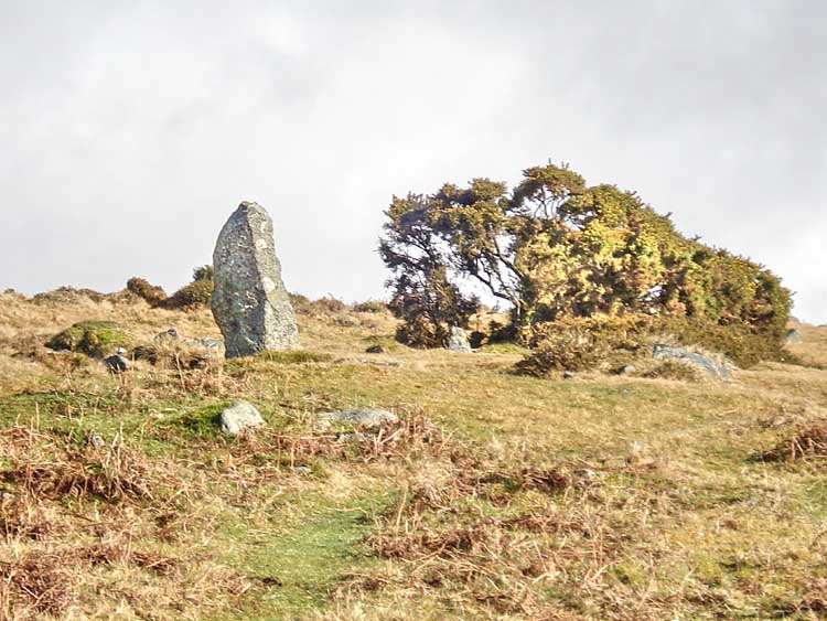
The relatively large terminal blocking stone of the stone row at SX 54951 70659 (the blue dot GPS waymark on the map below).
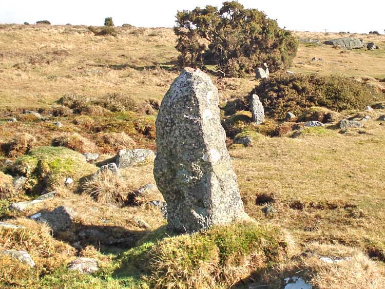
Looking along the stone row from the end blocking stone, the view is interrupted by the gorse bush.
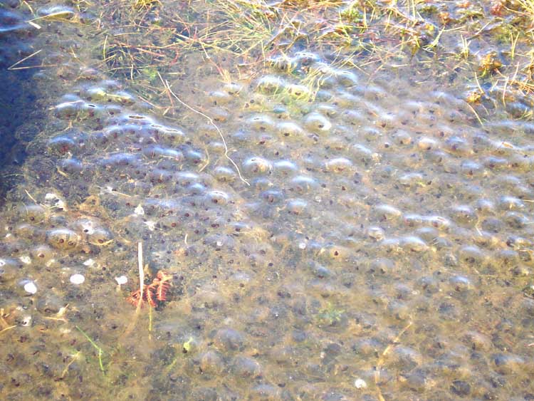
Frog spawn.

A closer view of the frog spawn.
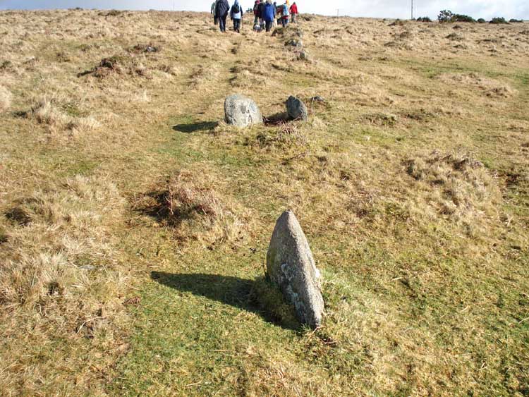
Further along the stone row there is a double stone near the middle of the row.

"Ooh, there's Brent Tor!"
Especially for those who lose Brent Tor, if you look over the Brent Tor Pointer Stone (centre of photo), you can always find Brent Tor .....
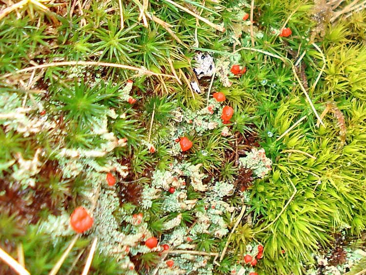
Pixie's Matchsticks ..... the red structures are the fruiting bodies of a lichen, which is an association of an alga and a fungus. The lichen is the lighter coloured structure in the photo, the bright green being a common moss whose name I forget. I believe the lichen is British Soldier Lichen or Cladonia cristatella.
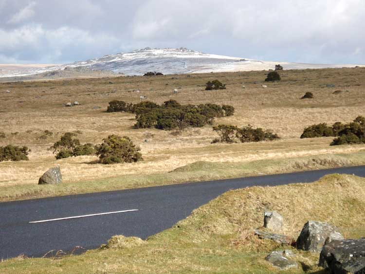
View of a snow-dusted Great Mis Tor 6.33 km away (3.93 miles) with Little Mis Tor on the right flank.
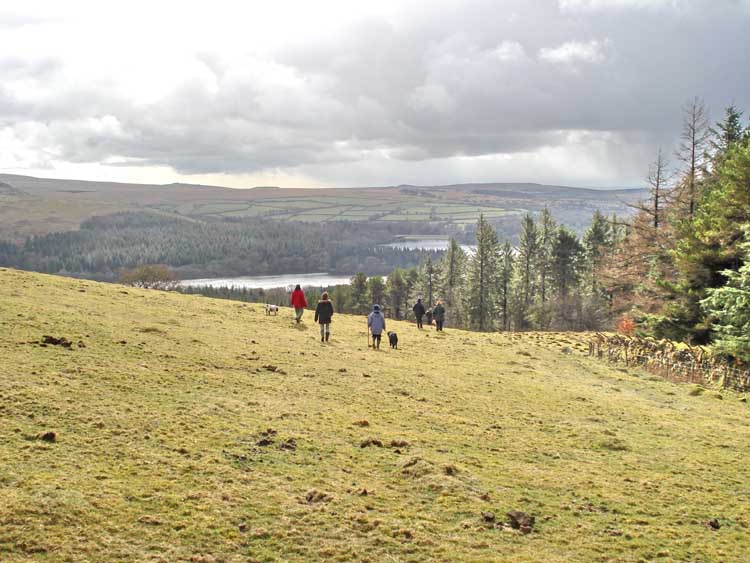
Walking down towards Burrator Reservoir.
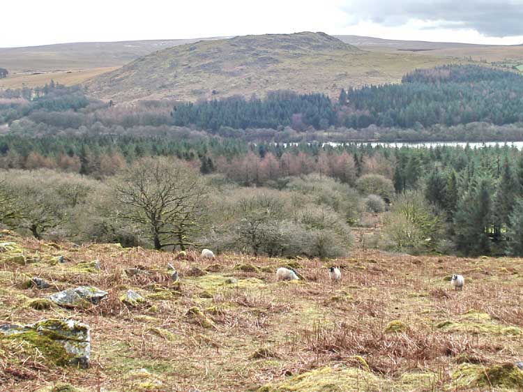
Sheeps Tor, the far side of the reservoir.
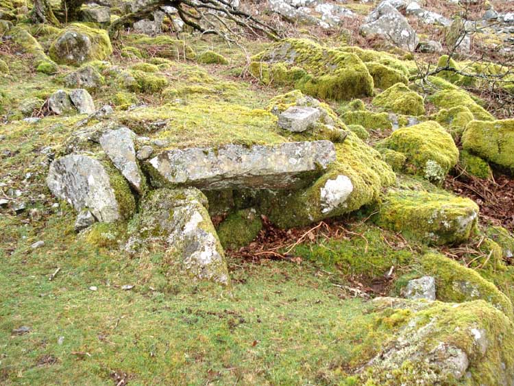
A sett maker's banker, at SX 55457 69586. Setts are the squared-off blocks of granite that used to be used to make roads, especially in Tavistock and Plymouth: see Dartmoor's Sett Makers' Bankers Annual 2008. This banker is the first of the group of three blue dots on the red GPS track on the map below.
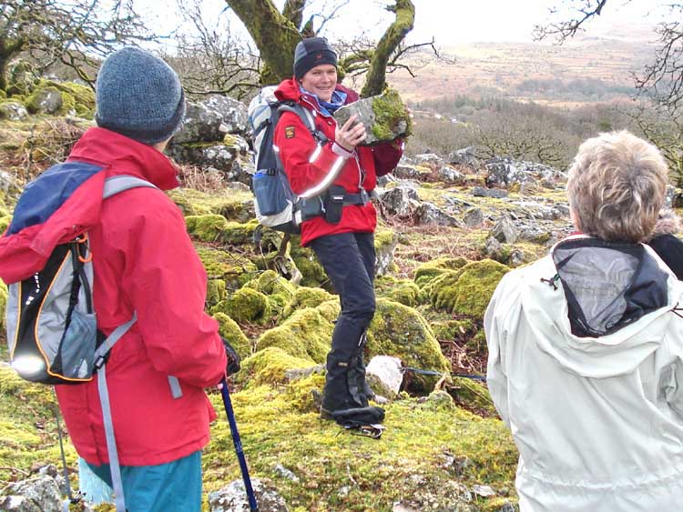
Demonstrating what a granite sett would look like ..... ".....and I reckon I could probably reach that fool with a camera from here ....."

Another view of the banker.
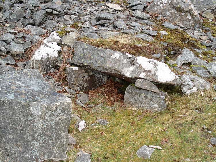
A second banker at SX 55470 69568.
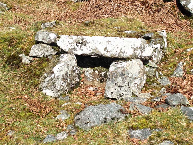
A third banker at SX 55491 69564.
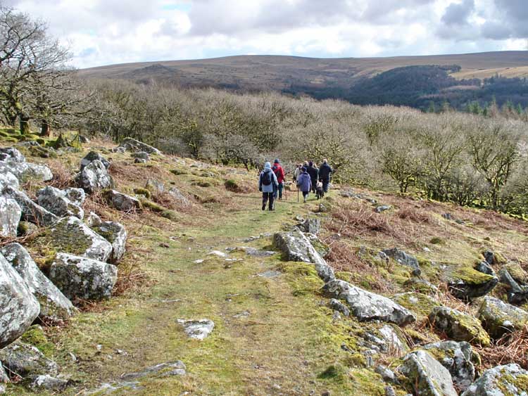
Descending from the stony, quarry area towards the wooded area above the reservoir.
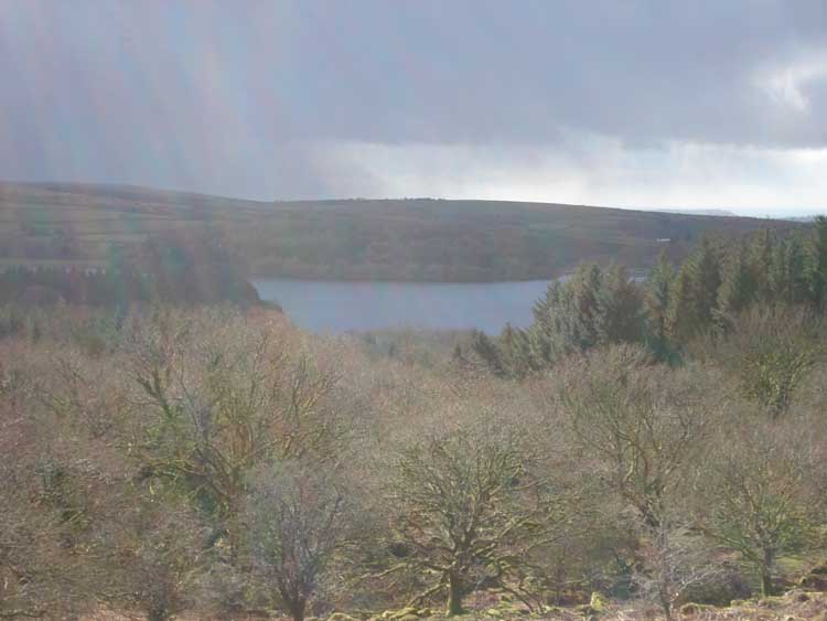
A rather dull view of the reservoir.

Devonport Leat, built at the end of the 1790's, looking east from the bridge at SX 55562 69370.
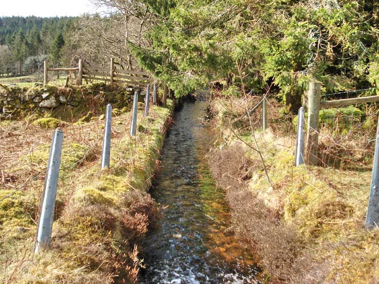
As previous, looking west.
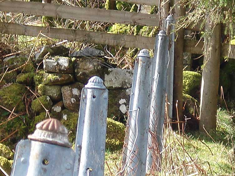
Decorative fence post tops along the leat at this point.
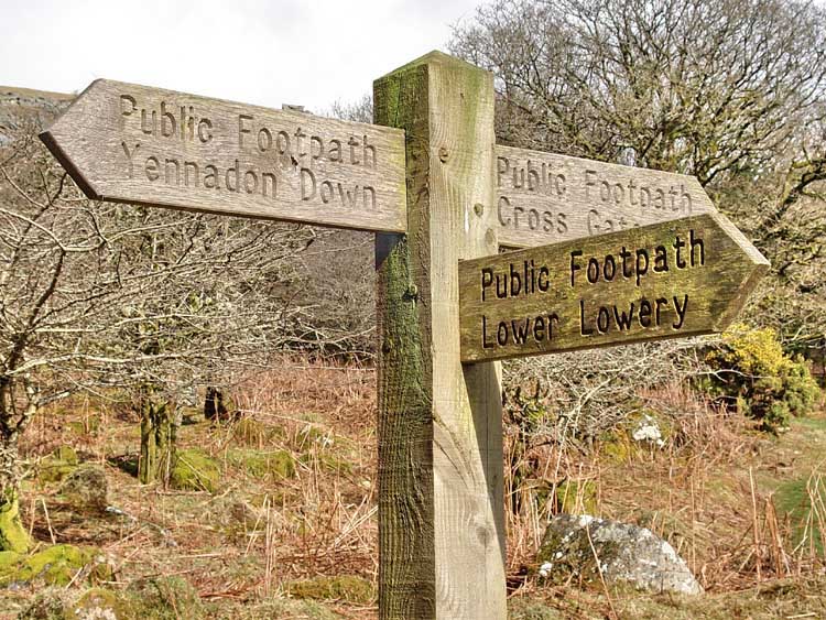
Sign post along the way.

"A study in light and shade" ..... sounds good to me .....

A view of the felling area near Lowery Cross, where the spot height "288" appears on the map. The fir trees are being cut prematurely for commercial reasons after they contracted a virus that spoils the wood. A notice nearby says they will be replanted with native trees.

A tractor used in the felling operation.
The red line on the map is the route walked as tracked by satellite/GPS.

Reproduced from Dartmoor OS Explorer map 1:25 000 scale by
permission of Ordnance Survey
on behalf of The Controller of Her Majesty's
Stationery Office.
© Crown copyright. All rights reserved. Licence number 100047373.
Also, Copyright © 2005, Memory-Map Europe, with permission
Access to this walk was easy, passing through Dousland from Plymouth on the B3212 towards Princetown, taking the first road on the right after leaving the 30 mph limit in Dousland. The Lowery Cross car park is on the right at the top of the hill, marked by the yellow cross is on the map.
Statistics
Distance - 4.89 km / 3.04 miles.
All photographs on this web site are copyright ©2007-2016 Keith Ryan.
All rights reserved - please email for permissions
Dartmoor Tick Watch
The Cornish Pasty - The Compleat Pastypaedia
