|
F11 - Full screen F11 - Normal view Home & Contents |
|
"Alt" +
� |
This walk: 2009-4-2. A misty morning became a blue sky day and a walk to the highest point in southern England: Rowtor, West Mill Tor, military field gun emplacements, ponies, Yes Tor, High Willhays (High Willies, locally), cairn, Big Bang - demolition of unexploded ordnance found during military clean-up operations!
The highest point is still debated by some:
| High Willhays | Yes Tor | |
| Officially: | 621 meters / 2037 feet | 619 meters / 2030 feet |
| Today's GPS elevations: | 619 � 4 m / 2030 � 13 feet | 616 � 5 m / 2020 � 16 feet |
Walk details below - Information about the route etc.
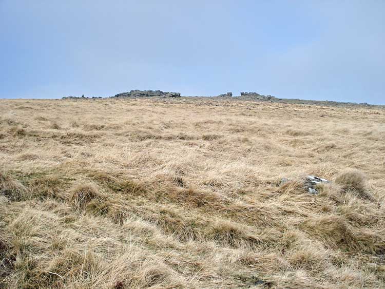
Walking past Rowtor, at SX 593 916, elevation 468 m (1535 feet).
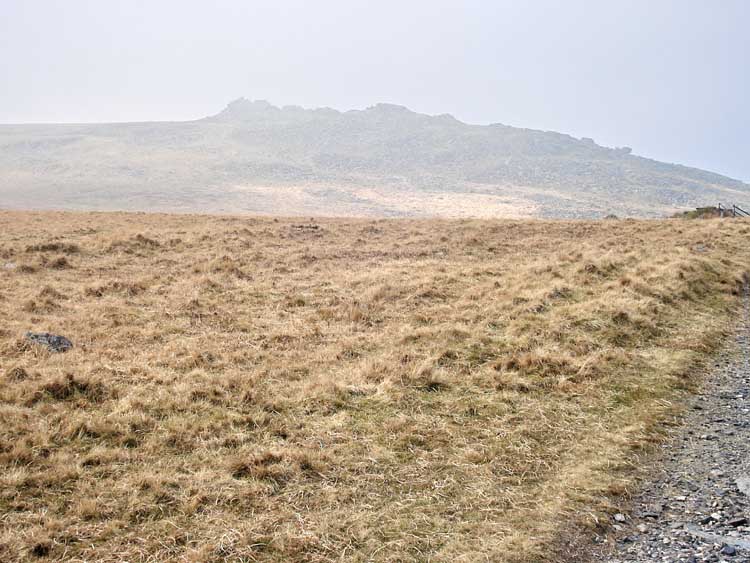
Looking towards West Mill Tor in the mist, at SX 587 909, elevation 541 m (1774 feet).
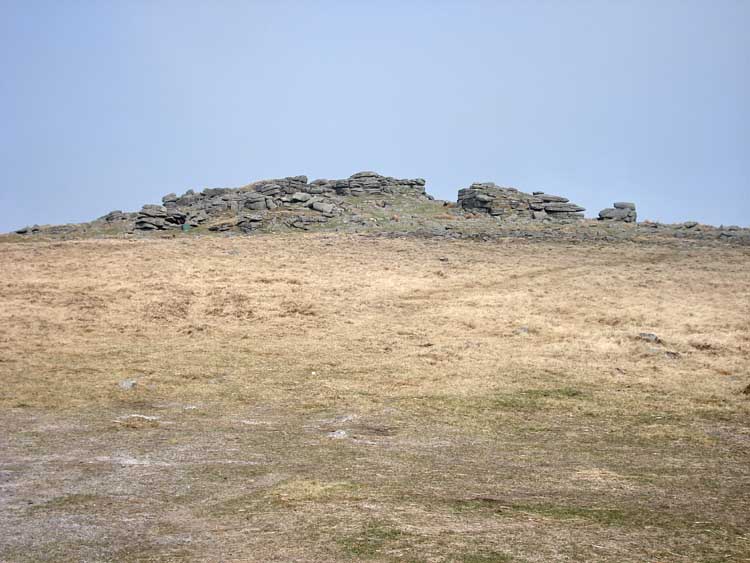
Looking back at Rowtor.

Presumed field gun emplacements on this, Okehampton, firing range, position approx. SX 591 912.
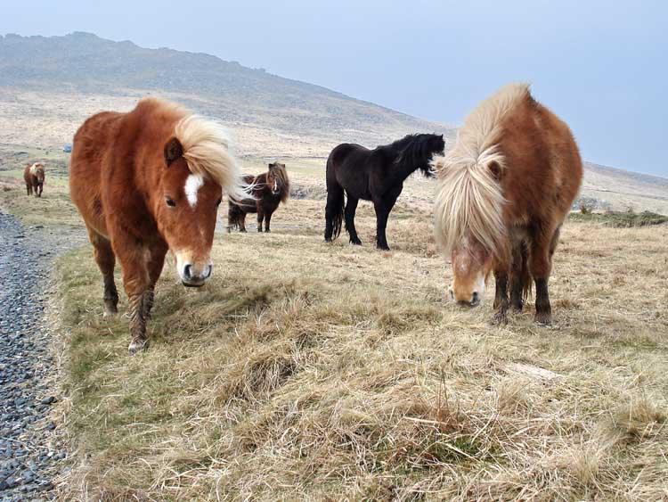
Ponies seen along the way.
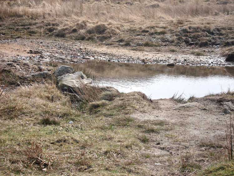
Stepping stones and ford across a tributary of Red-a-ven Brook, at SX 58625 90033.

A view to West Mill Tor.
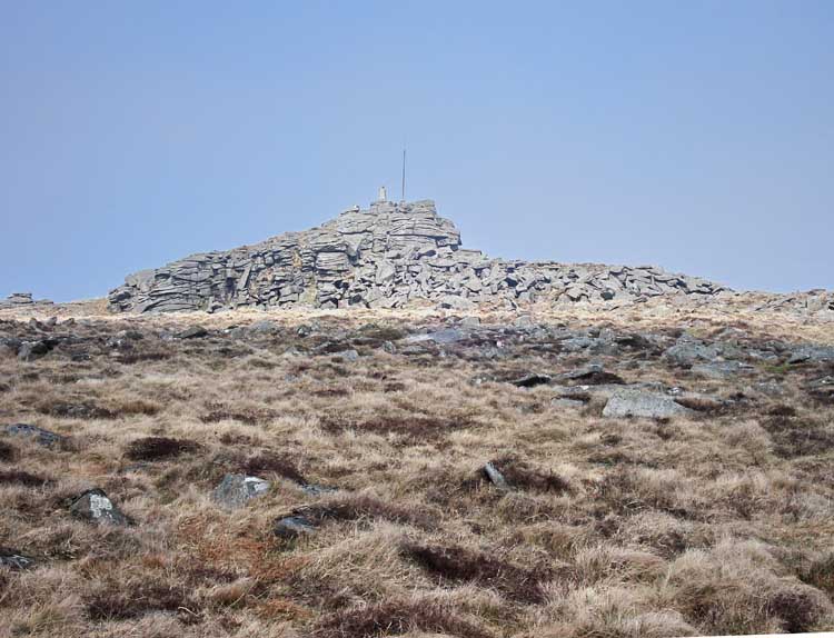
A zoomed view of Yes Tor, as we passed by, at SX 58087 90161.
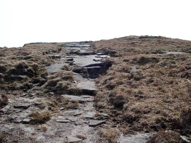
The track along the ridge towards High Willies.
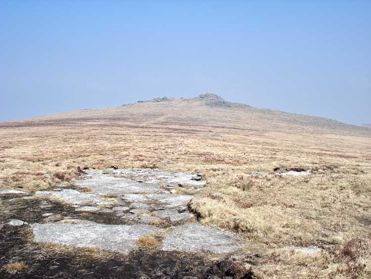
Looking back along the track with Yes Tor in the distance.

A granite pile along the way.

Looking at High Willies.
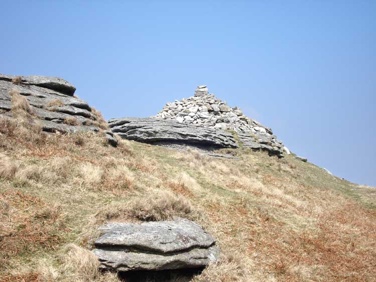
First view of the cairn on top of High Willies, at SX 58024 89212 � 4 meters.
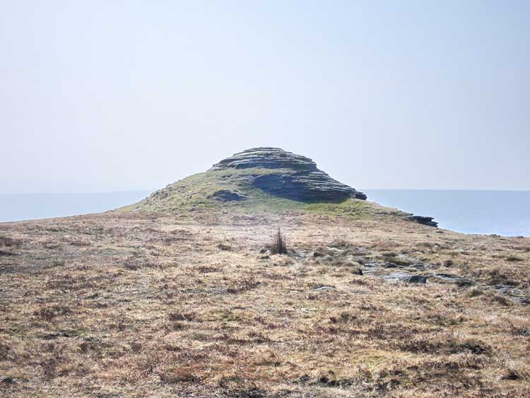
The "Pyramid" at the south end of High Willies, SX 58003 89121 � 4 meters.

Ron, on top of the moor .....
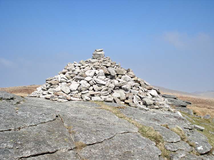
The cairn, with blue sky.
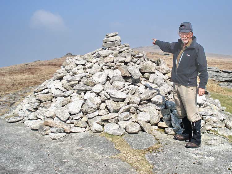
Keith, at the cairn.
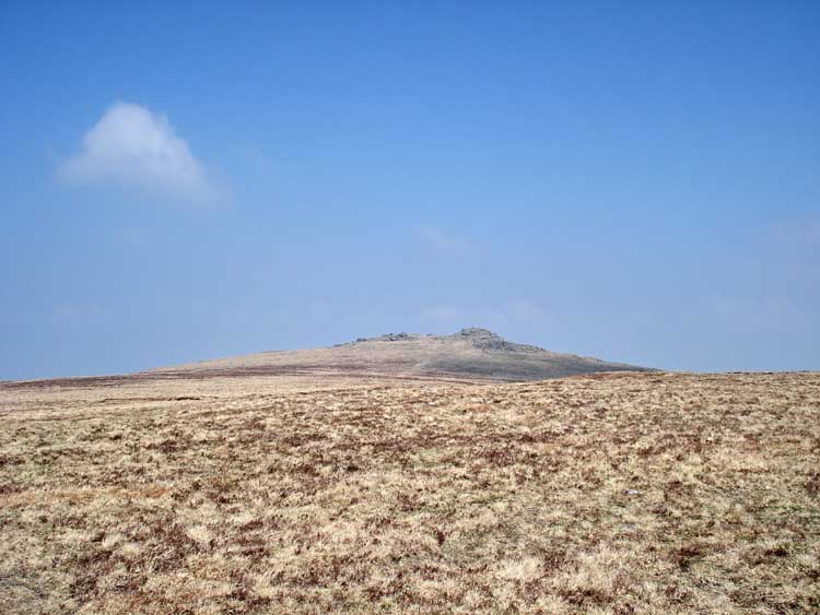
Looking towards Yes Tor as we approached.
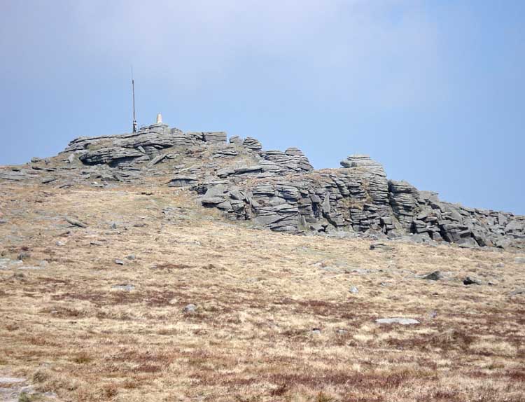
Yes Tor.
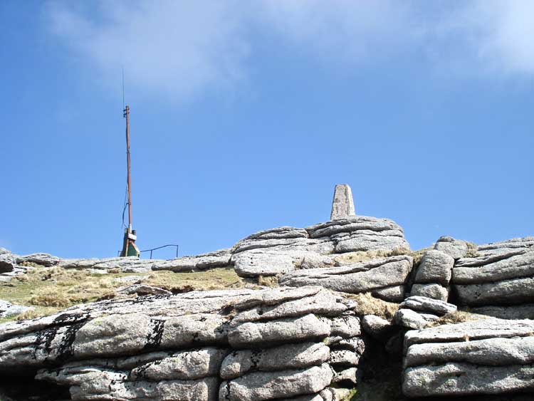
Yes Tor, with military flag pole and trig. point at SX 58087 90161 � 4 meters.
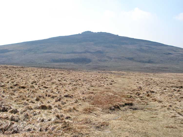
Looking back at Yes Tor as we "straight-lined" towards West Mill Tor.
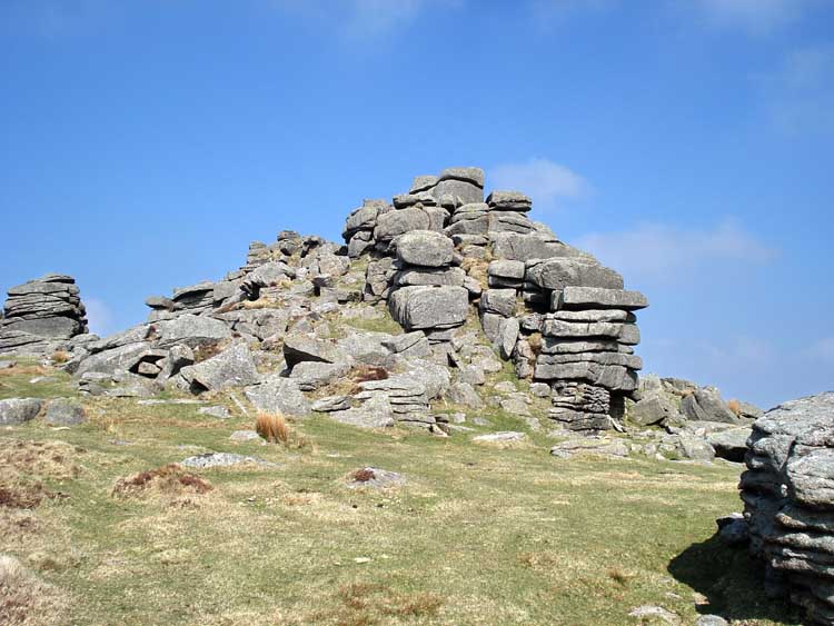
West Mill Tor.
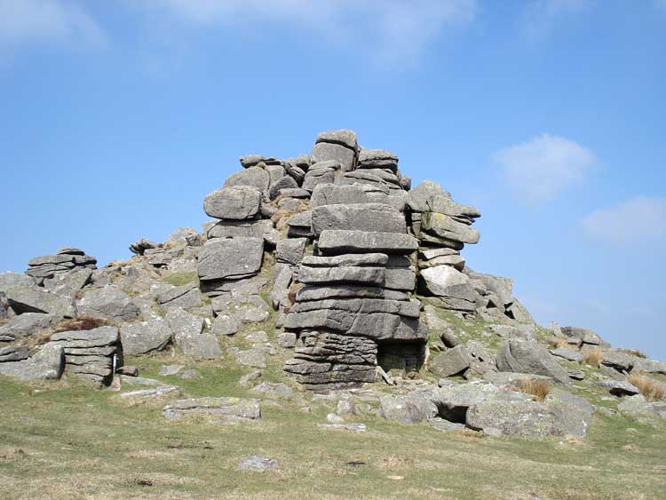
West Mill Tor.
As we passed this point we were hailed by lookouts for a demolition team that were about to blow-up some recovered unexploded munitions found during a moor clearance exercise .....
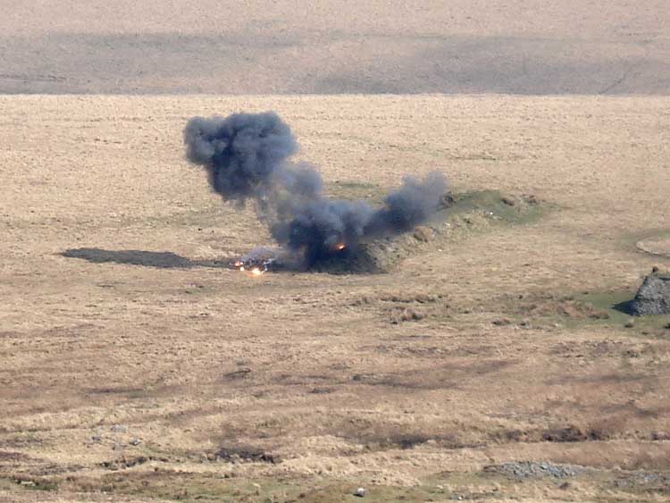
The bang was very impressive, this photo catching the end of the initial flash .....
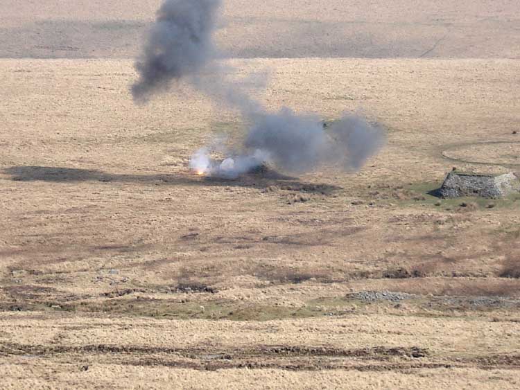
As previous photo, as fast as the camera would recycle .....
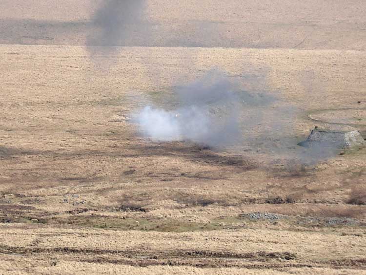
..... and again.
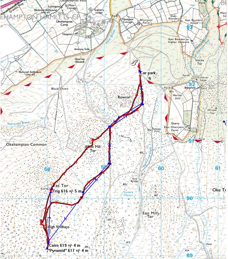
MAP: Blue = planned route, Red = GPS satellite track of the walk.
The blue lines are the compass or GPS bearings. The red line is the route actually walked: it deviates sometimes from the blue lines to avoid obstacles such as thick bracken, gorse, bogs or clitter, and often to use paths or animal tracks that are not on the map. It may also be shorter than the planned (blue) route if the walk is curtailed for some reason.
 Reproduced from Dartmoor OS Explorer map 1:25 000 scale by
permission of Ordnance Survey
on behalf of The Controller of Her Majesty's
Stationery Office.
© Crown copyright. All rights reserved. Licence number 100047373.
Also, Copyright © 2005, Memory-Map Europe, with permission
Acees was via the main road to Okehampton, turning into Station Road and following it up the hill to Okehampton Camp (at top of the map). The military road was then followed to park at the fairly large parking area SX 59623 92238 - beware of the drop from the tarmac onto the parking area! Not a problem for most vehicles.
Statistics
Distance - 8.82 km / 5.48 miles.
Start 10.40 am, Finish 3.00 pm, Duration 4 hr 20 min.
Moving average 3.6 kph / 2.24 mph; Overall average 2.3 kph / 1.43 mph.
All photographs on this web site are copyright ©2007-2016 Keith Ryan.
All rights reserved - please email for permissions
Dartmoor Tick Watch
The Cornish Pasty - The Compleat Pastypaedia
