|
F11 - Full screen F11 - Normal view Home & Contents |
|
"Alt" +
� |
This walk: 2009-6-3. Crockern Tor, Bellever Tor, Littaford Tors, Beardown Tors, West Dart valley, fern, moss, lichens, Usnea (Beard Lichen or Tree Moss), Greater Stitchwort, Sedum, Wistman's Wood, inscribed Wentworth Buller stone, Crow Tor.
Walk details below - Information about the route etc.

Littaford Tors, SX 61623 76911, elevation 443 meters (1453 feet).
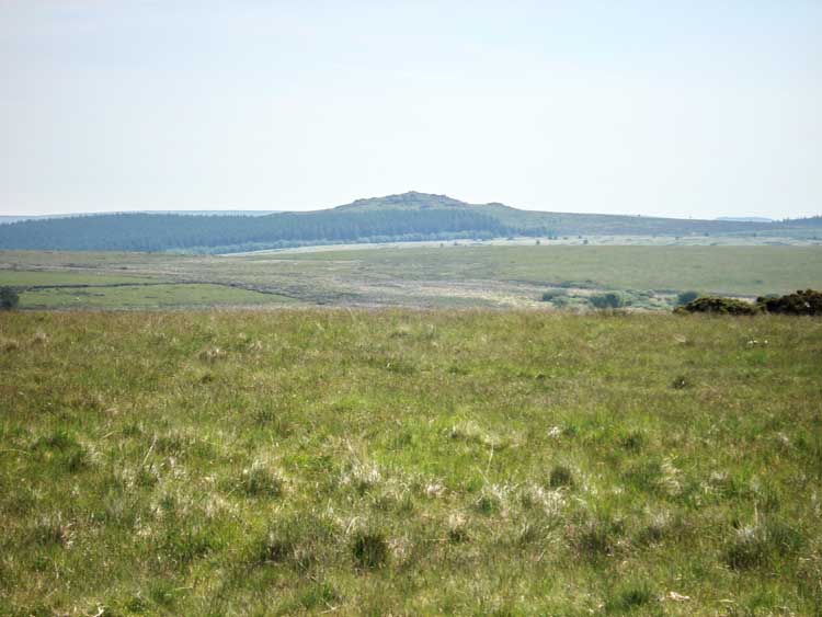
Bellever Tor, in Bellever Forest, SX 64463 76448, elevation 443 meters (1453 feet).
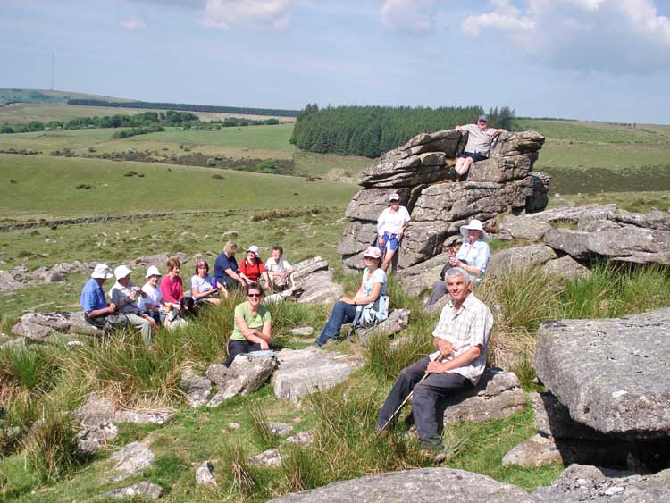
Crockern Tor, meeting place of the Stannary Parliament, SX 61560 75778, elevation 400 meters (1312 feet). Moor Strollers sitting mainly on the benches for the stannators with Jim in the judge's seat.
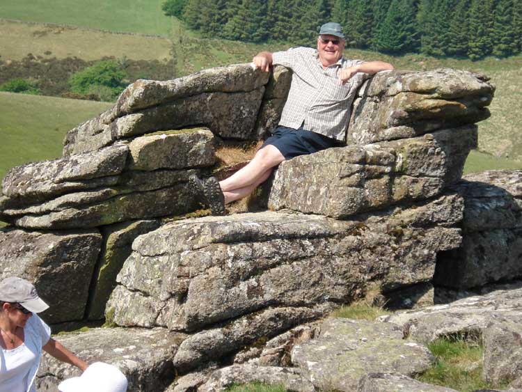
Judge Jim ..... in the judge's seat.
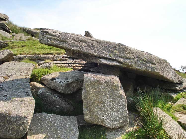
An elevated slab with a rock placed under it to form a table for the canap�s .....
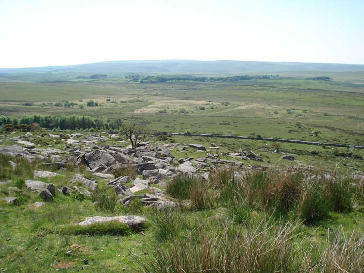
View towards Lower Cherrybrook Bridge and beyond.
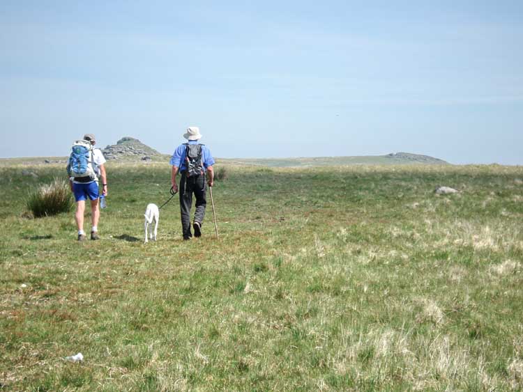
Littaford Tors.
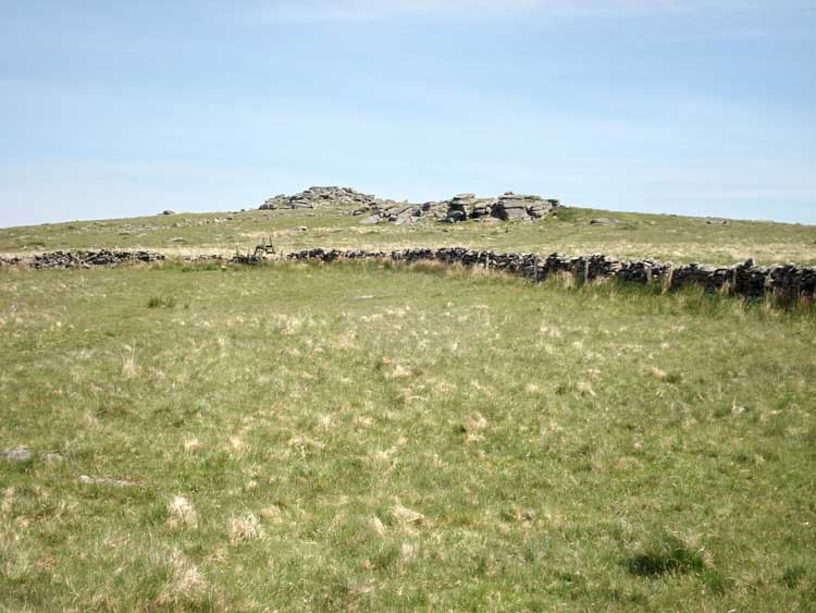
Littaford Tors from a lower angle.
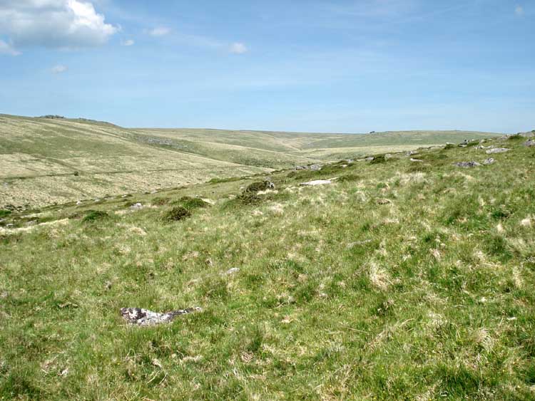
Far view up the West Dart valley, with the leat on the slopes of Beardown Hill.
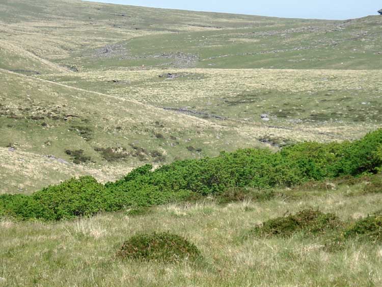
Zoomed view up the valley.

Looking down into Wistman's Wood, one of three relict oak woods on Dartmoor, the others being Piles Copse (Erme Valley) and Black-a-tor Copse (near Meldon Reservoir).

General view within Wistman's Wood, of dwarf, gnarled oak trees.

A gnarled and deformed oak tree .....
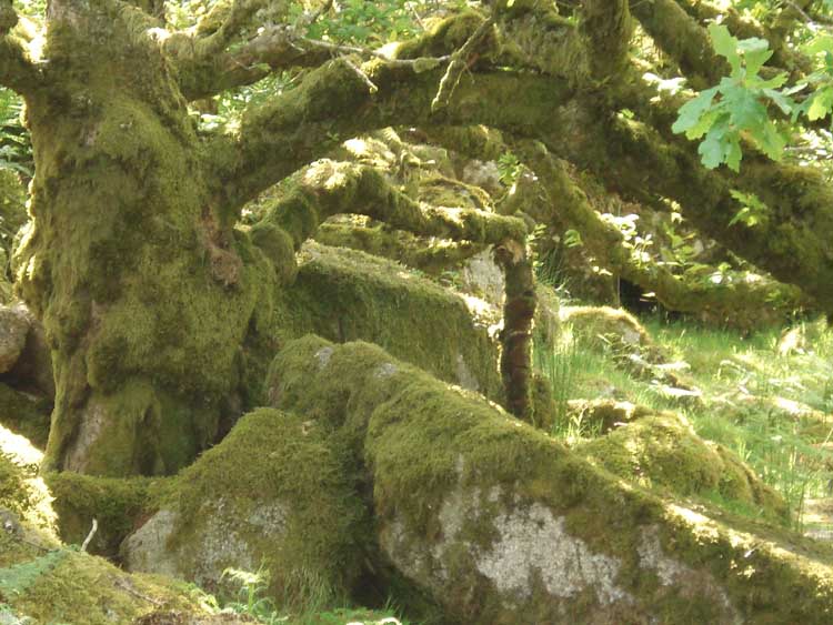
..... in close-up.

A clump of ferns.

Moss and lichens on a small branch - 1.
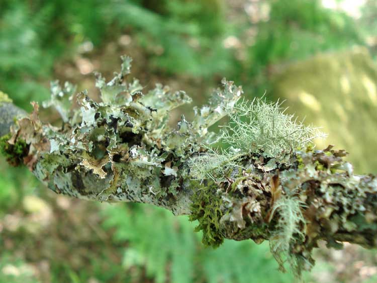
Moss and lichens on a small branch - 2.
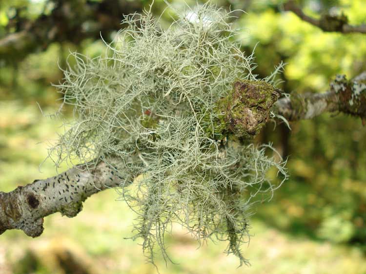
A lichen on a small branch, Usnea species.

A Sedum ?

Possibly Greater Stitchwort, Stellaria holostia.

"Queen of the castle" ...... on the inscribed Wentworth Buller stone.

The inscription: "By permission of H.R.H. the Prince of Wales, Wentworth Buller on Sept 16th 1866 cut down a tree near this spot. It measured 9in. in diameter and appeared to be 168 years old."
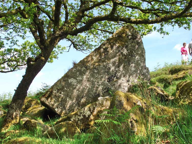
The rock on its own - believed to have been featured in Monument & Environment.
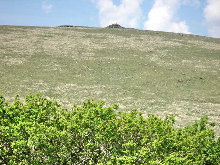
Looking over Wistman's Wood to Beardown Tors, SX 604 774, highest elevation 513 meters (1683 feet).

Looking up the valley to Crow Tor, SX 60630 78798, elevation 501 meters (1643 feet).

Looking down the West Dart valley to Crockern.
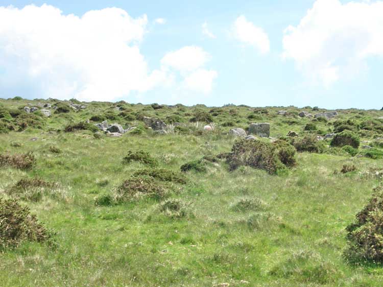
A hut circle near the track returning to the car park.

A view up the West Dart valley with Wistman's Wood on the right.
The red line is the route walked.

Ordnance Survey © Crown copyright 2005. All rights reserved. Licence number
100047373.
Also, Copyright © 2005, Memory-Map Europe, with permission
Access to this walk was easy, following the B3212 fro Princetown and parking in the quarry opposite the Two Bridges Hotel, at the yellow cross/ P symbol on the map.
Statistics
Distance - 5.8 km / 3.6 miles.
All photographs on this web site are copyright ©2007-2016 Keith Ryan.
All rights reserved - please email for permissions
Dartmoor Tick Watch
The Cornish Pasty - The Compleat Pastypaedia
