|
F11 - Full screen F11 - Normal view Home & Contents |
|
"Alt" +
� |
This walk: 2010-2-24. Plymouth Leat - also called Drake's Leat, clapper bridge, gorse flowers, breached leat wall, Roborough Down Lane, site of the body under the bridge (2001), Sir Thomas Tyrwhitt's Plymouth & Dartmoor Railway (a horse-drawn tramway), tramway stones, Iron Age Earthwork, trig. point, Devonport Leat.
Walk details below - Information about the route etc.
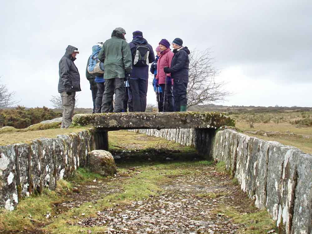
Moor Strollers on the clapper bridge over Drake's Leat, built 1590-1591 to carry water to Plymouth, original length 17� miles, at SX 1992 64853. The leat, lined with granite slabs and hard-floored, is now disused and dry.
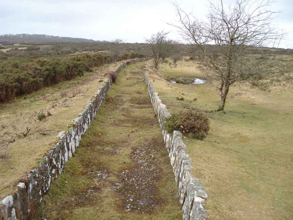
View from the bridge in one direction .....
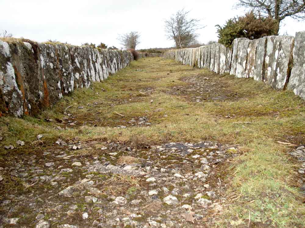
..... down low in the leat .....
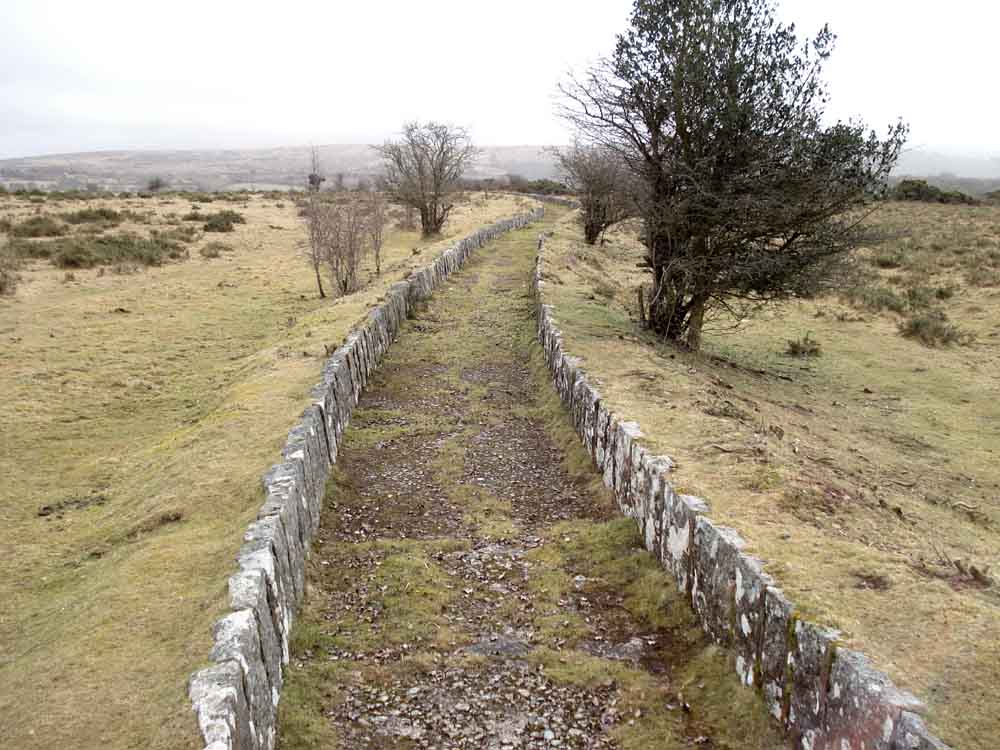
..... looking the other way from the bridge.
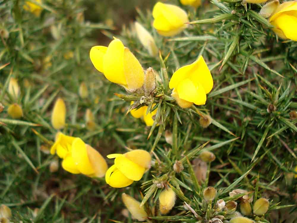
The gorse is flowering. The old Dartmoor saying goes "When the gorse flower is missing, there'll be no more kissing" .
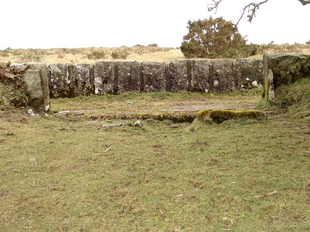
Unusual breach in the leat wall .....
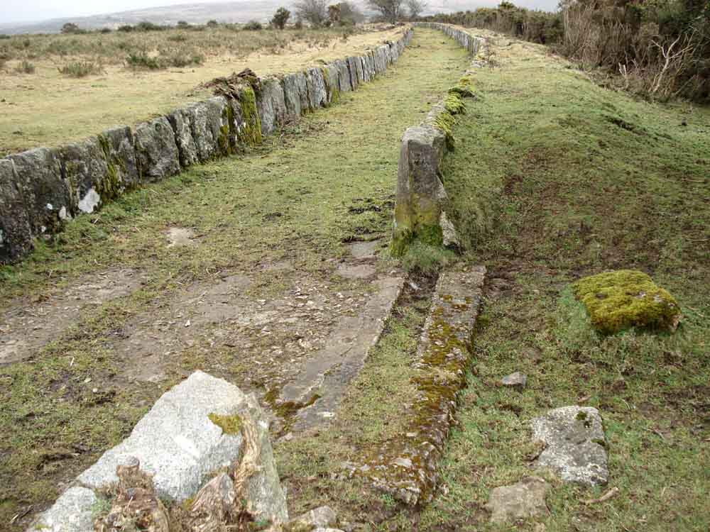
..... from another viewpoint. This may be modern - is that concrete? We didn't ascertain. There seems to be no mention of this in Eric Hemery's book Walking the Dartmoor Waterways (1986), pages 84-85 deal with this section of the leat.

Walking south-west from the bridge, towards Plymouth.

Looking back at the leat and another parallel structure which may have been the original leat run which proved to be an error in its level.
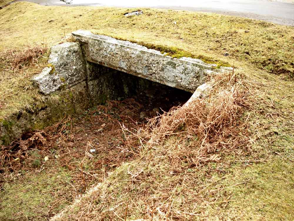
Clapper bridge at SX 54190 64686 on Roborough Down Lane, in worked granite, which runs to Lower Upperton and beyond. It was under this bridge that a dismembered, burnt body was found in 2001: BBC News - Link 1, BBC News - Link 2, BBC News - Link 3, BBC News - Link 4, BBC News - Link 5.
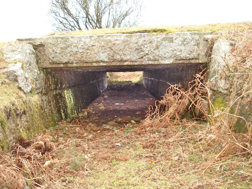
Looking under the bridge .....
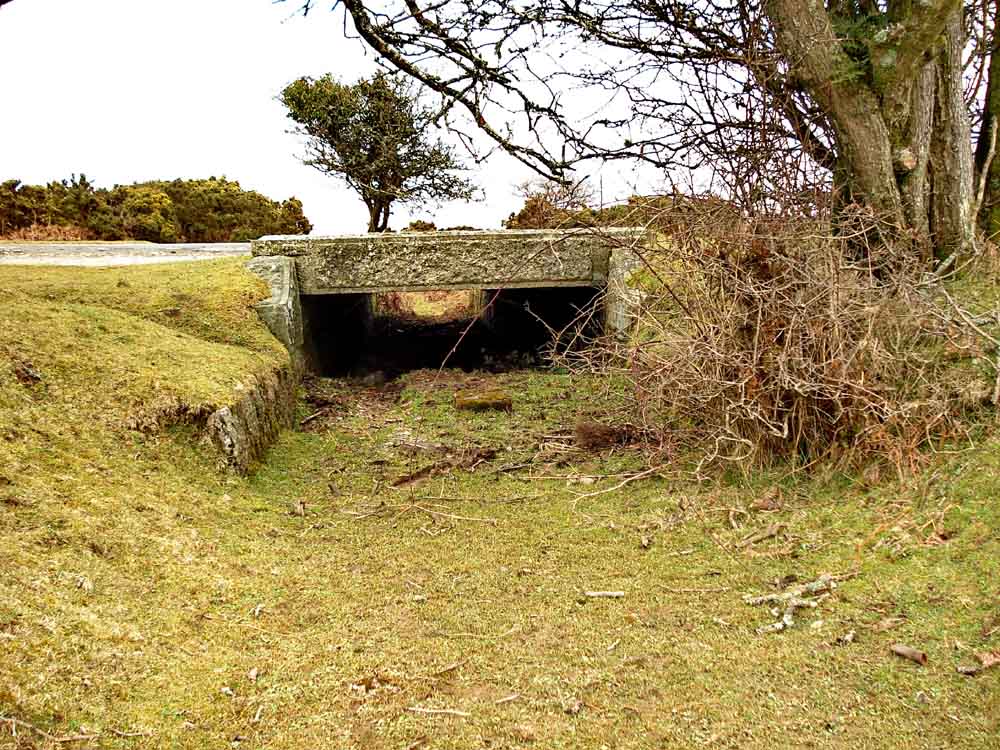
..... and from the other side.
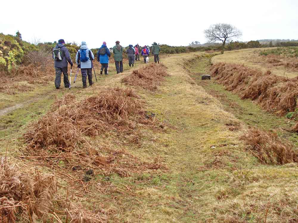
Continuing towards Plymouth, along the bed of Sir Thomas Tyrwhitt's Plymouth & Dartmoor Railway (a horse-drawn tramway).
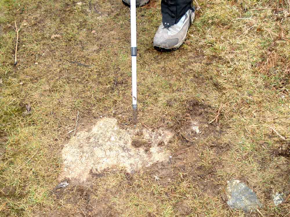
A stone with a hole in the bed of the tramway (more later, with two rail fixing holes visible).
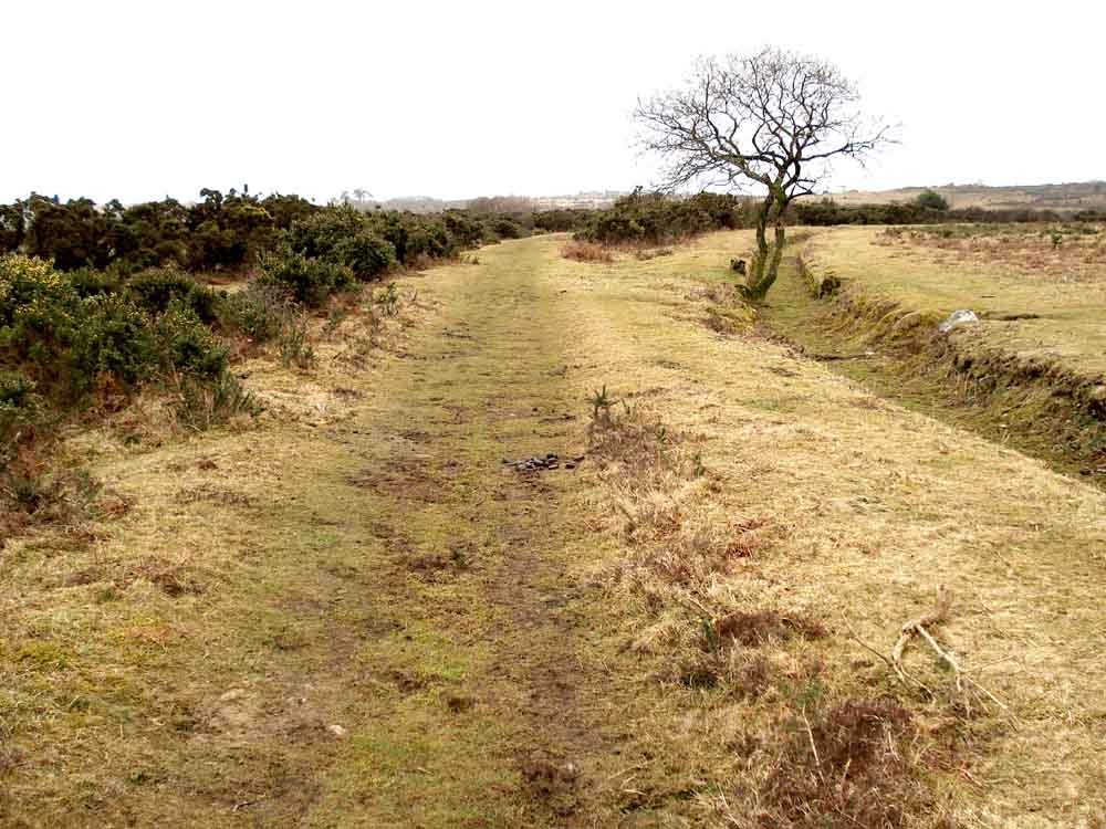
View along the tramway with Drake's Leat to the right, running along the level contour.
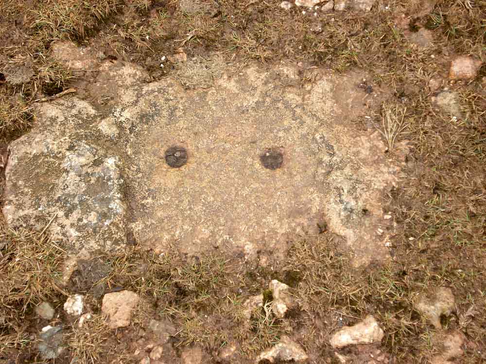
Tramway stone with two fixing holes.
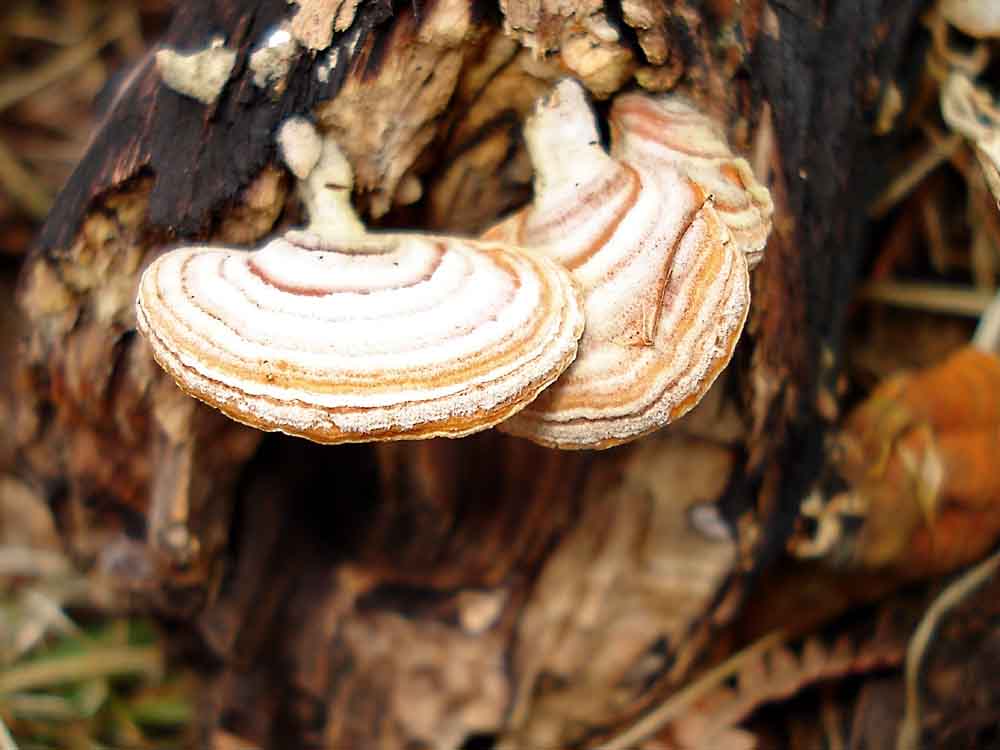
Unusual fungi, superficially bracket fungi but actually with stalks.
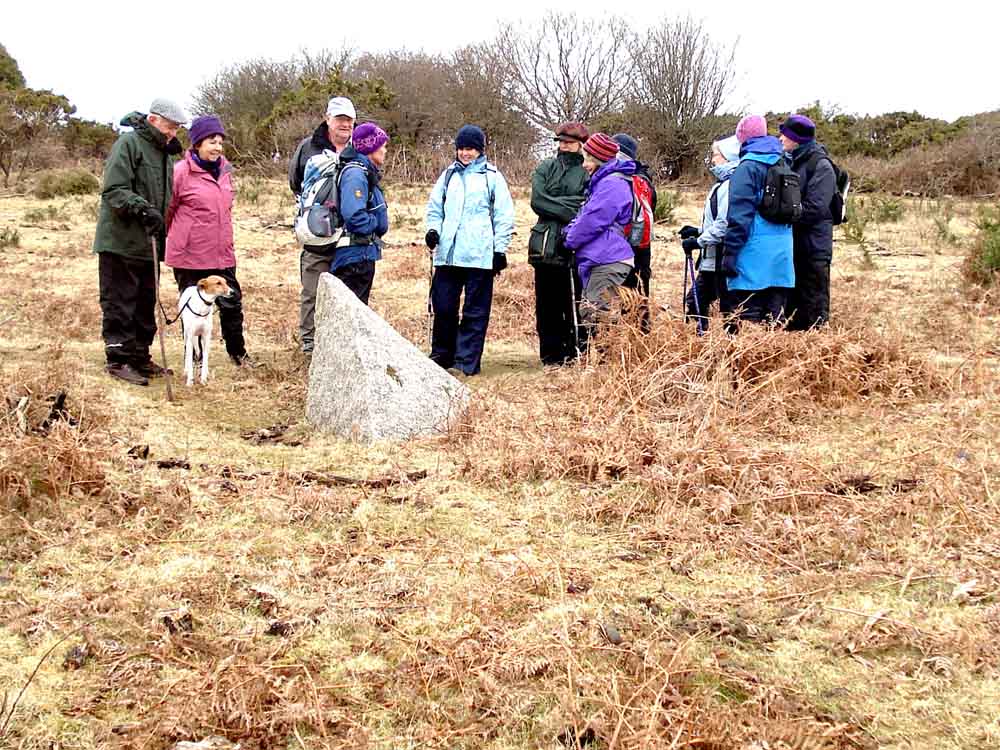
A worked piece of granite believed to have fallen from the tramway .....
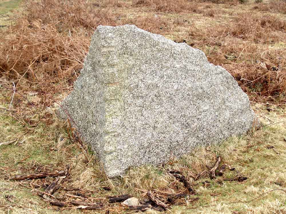
..... in detail, showing feather-and-tare marks (also, see here for the method).

Another excuse for kissing - more gorse in flower!

The end of the tramway - it then becomes lost in the fields of local farms.

Tramway stones lining the edge of the road.
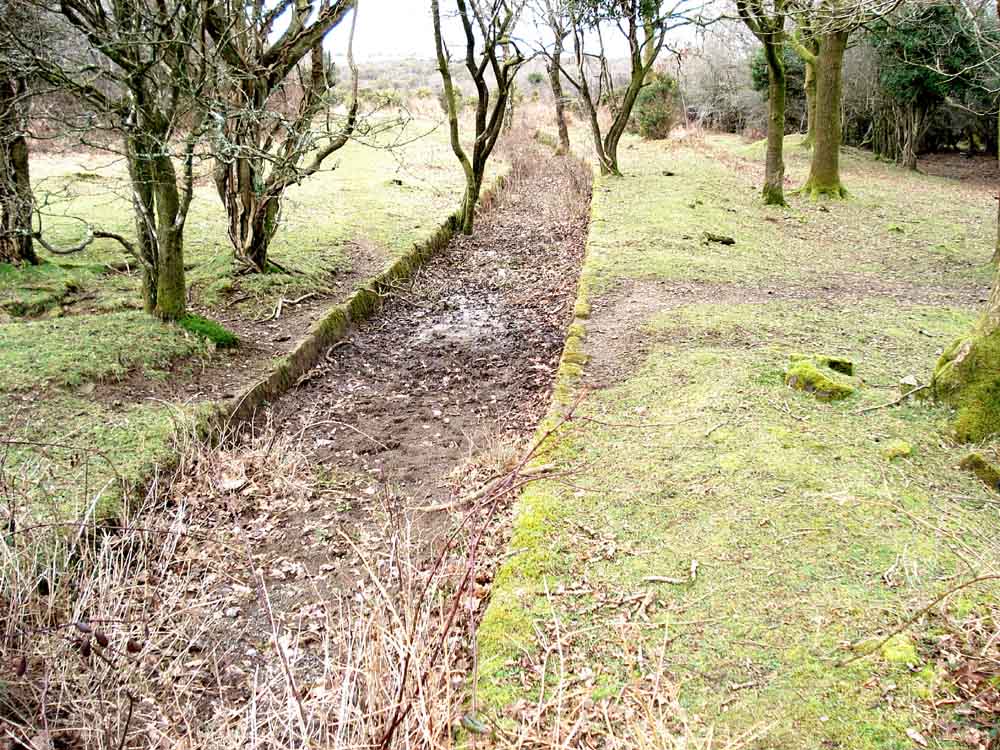
Looking back at Drake's Leat from SX 50990 63593.
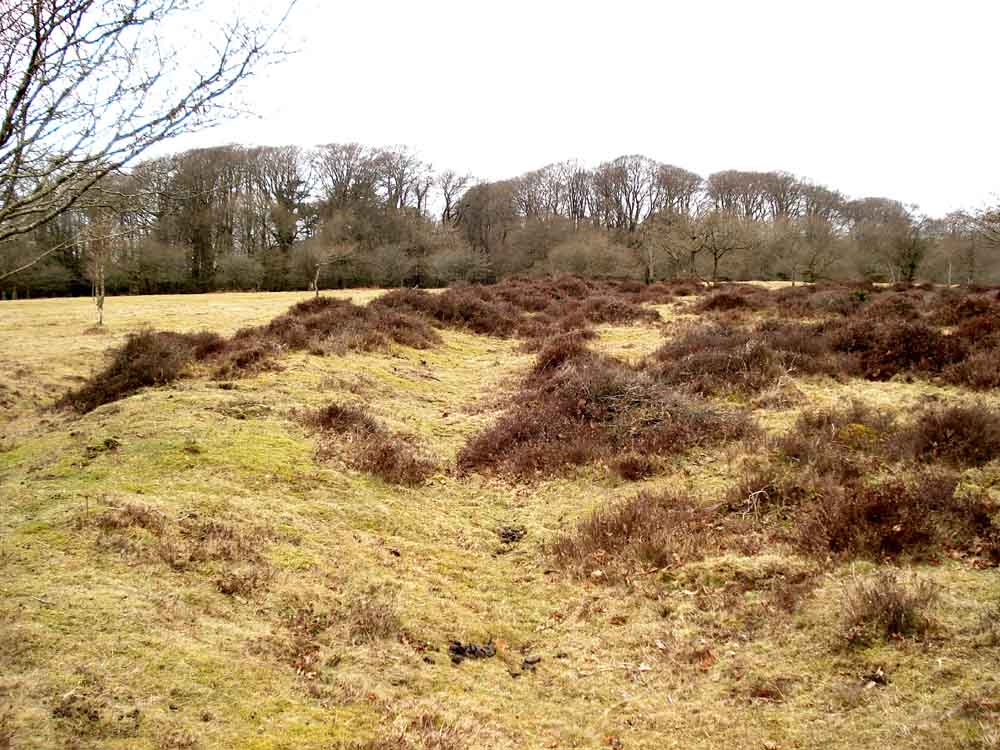
Standing on the ramparts of the Iron Age Earthwork at SX 50565 64098 .....
| Dartmoor CAM movie Panorama of the Moor Strollers at the Iron Age Earthwork
|
Click the photo to download File size: 3 MB. Time to downlaod: e.g. 11 secs Length 31 secs - beware wind-noise! |
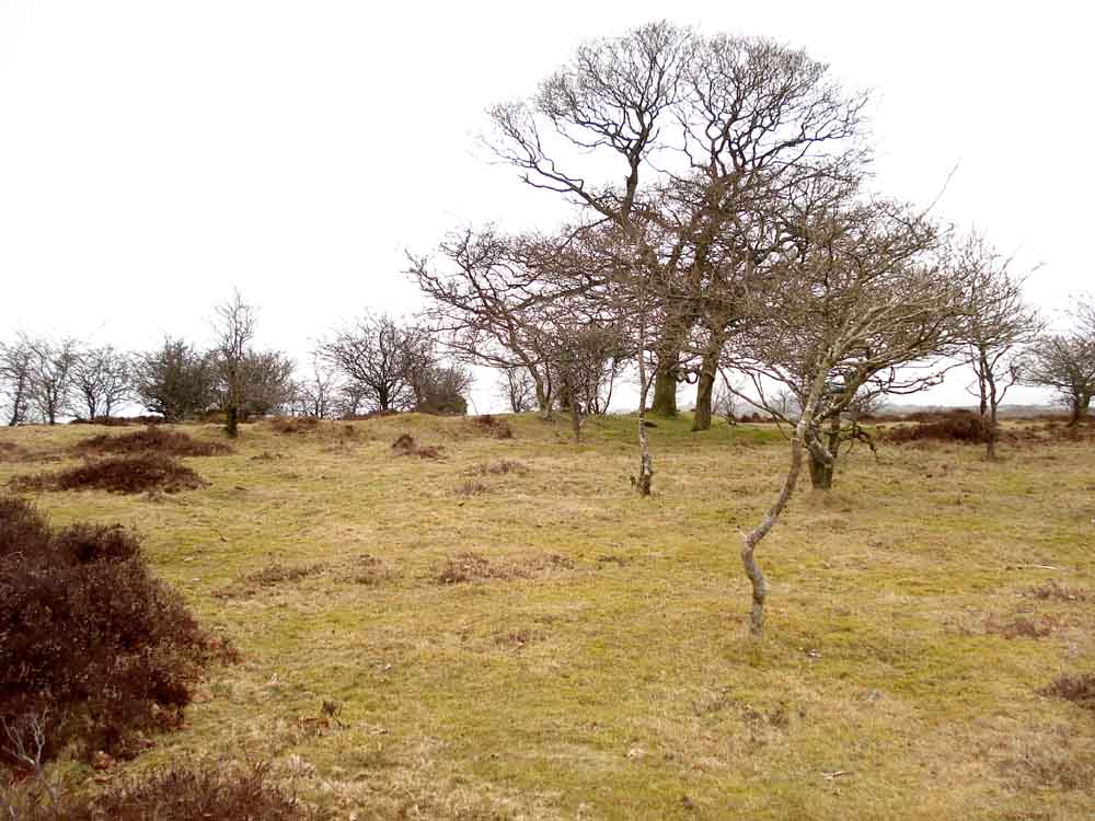
Looking towards the inner earthworks ..... bracken cleared regularly by Dartmoor Preservation Association Conservation Team - all volunteers welcome!
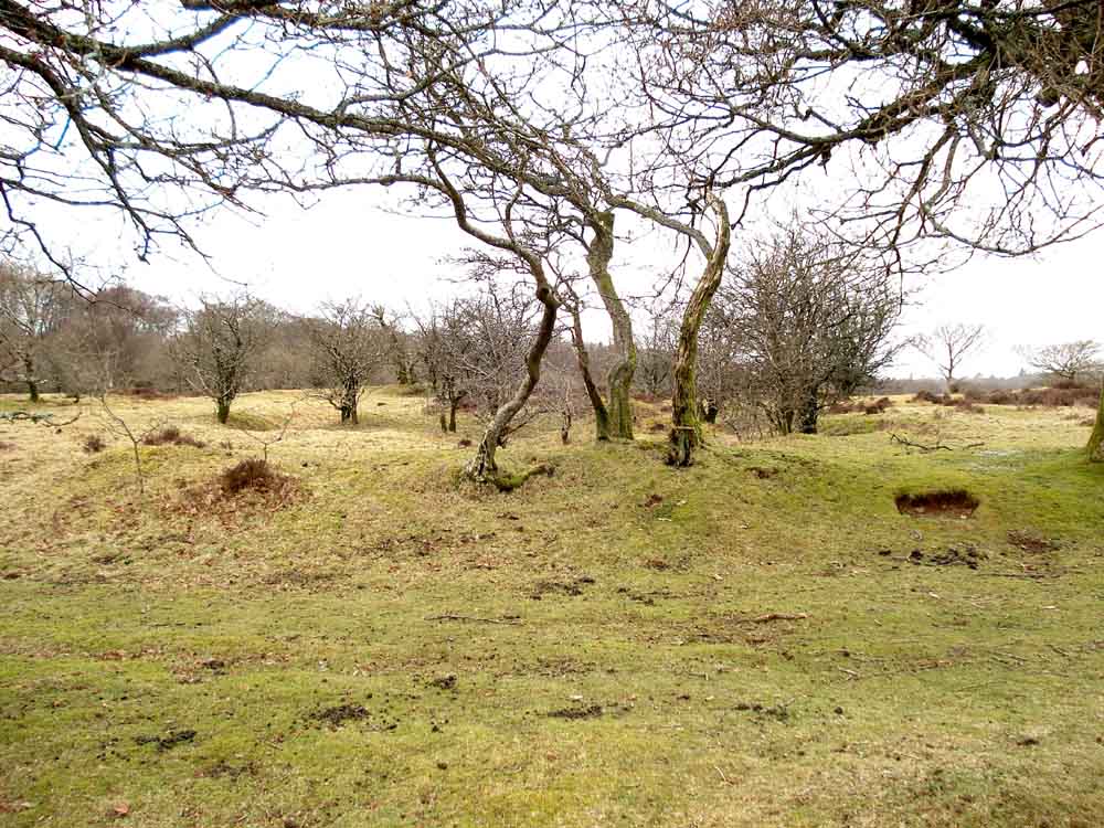
Another view.
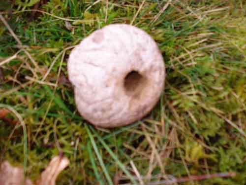
Puffball fungus - unfortunately out of focus.
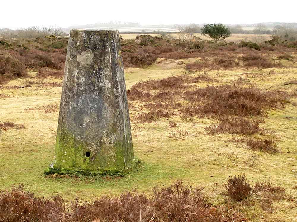
Trig. point (Legendary Dartmoor web site) at SX 50605 64133. See also Wikipedia - Triangulation station, elevation 198 metres (649 feet).

Left behind again! Looking down on the main Plymouth-Yelverton road, the A386.
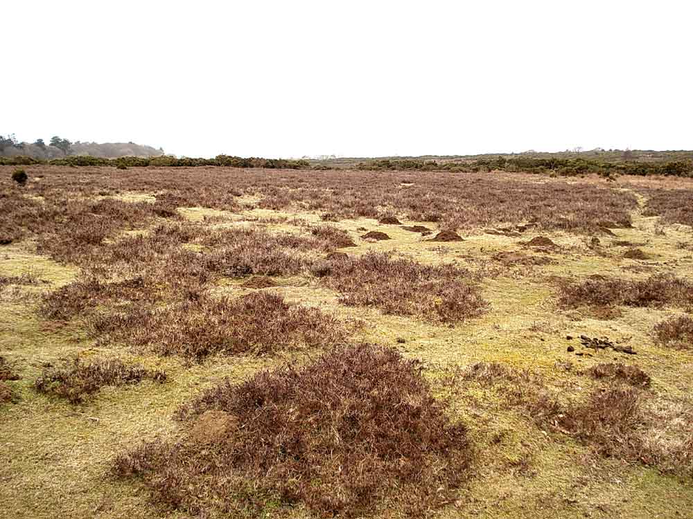
An area of open heather.
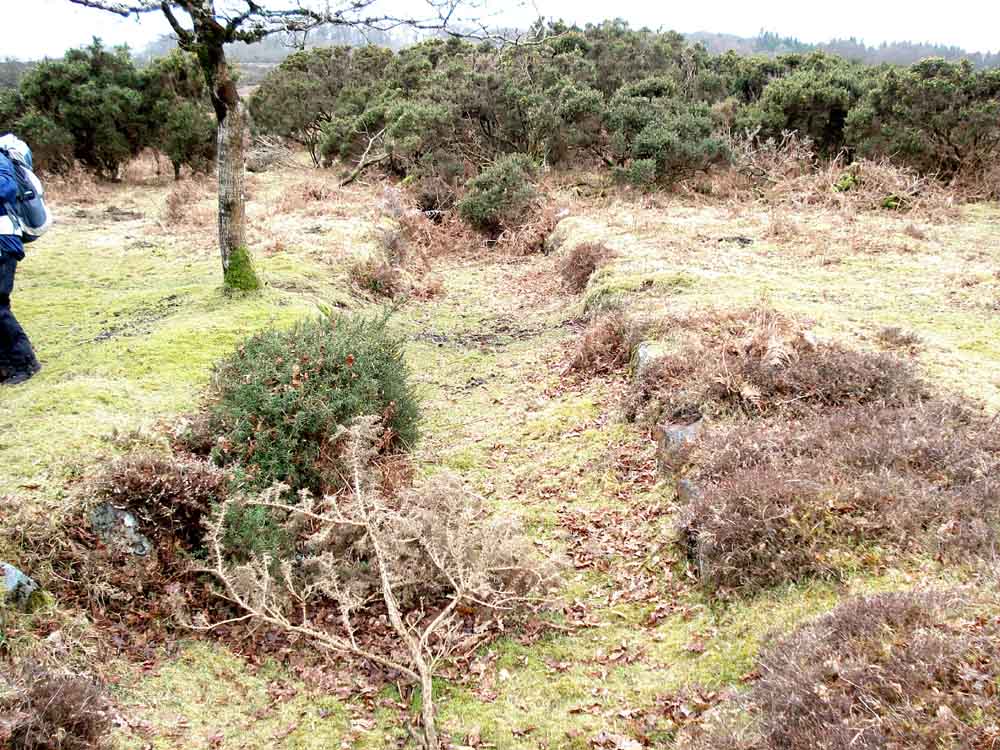
The overgrown Devonport Leat, constructed in the 1790's to carry water to Devonport Dockyard.
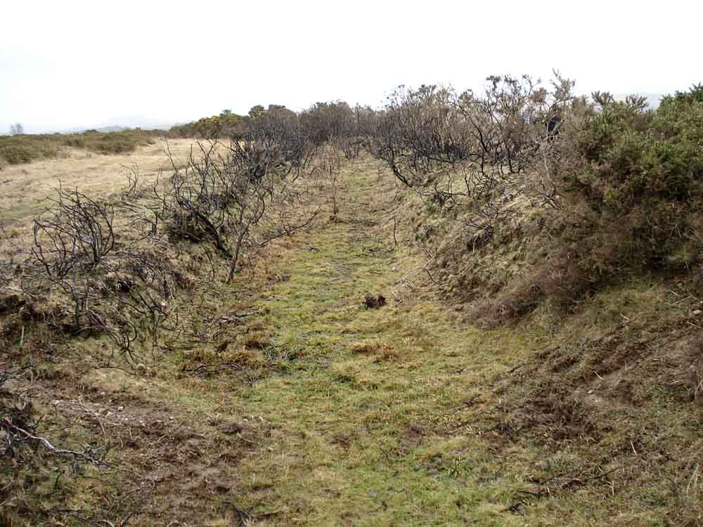
Another view along Devonport Leat.
MAP: Red = GPS satellite track of the walk.
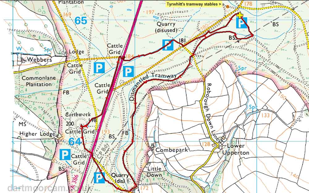
Ordnance Survey © Crown copyright 2005. All rights reserved. Licence number
100047373.
Also, Copyright © 2005, Memory-Map Europe, with permission.
This walk was accessed very simply via the A386 (the Plymouth-Yelverton/Tavistock road), turning off at the "Clearbrook" sign and parking at the yellow cross on the map.
Statistics
Distance - 5.4 km / 3.4 miles
All photographs on this web site are copyright ©2007-2016 Keith Ryan.
All rights reserved - please email for permissions
Dartmoor Tick Watch
The Cornish Pasty - The Compleat Pastypaedia

