![]()


This walk: 2008-12-27. From Peat Cot parking area towards Crazy Well Pool (briefly) then left at the leat, around the hill and back towards Nun's Cross, on a very cold and windy but beautifully clear day.
Walk details below - Information about the route etc.
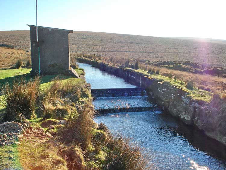
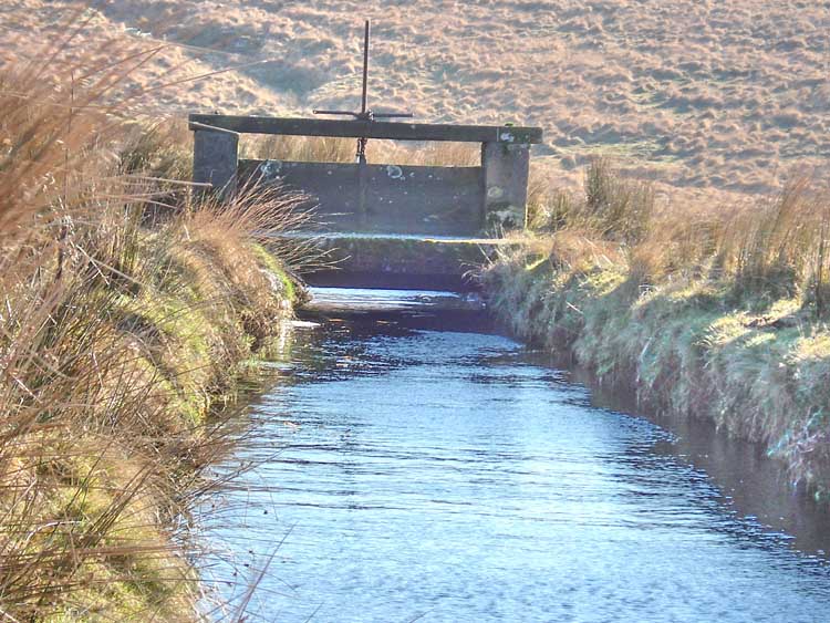
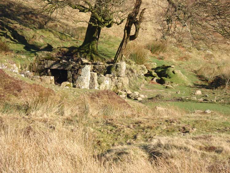
A view of a weir in the leat by the water works hut. There is a sluice a little way upstream. There is also a small hut at this point.
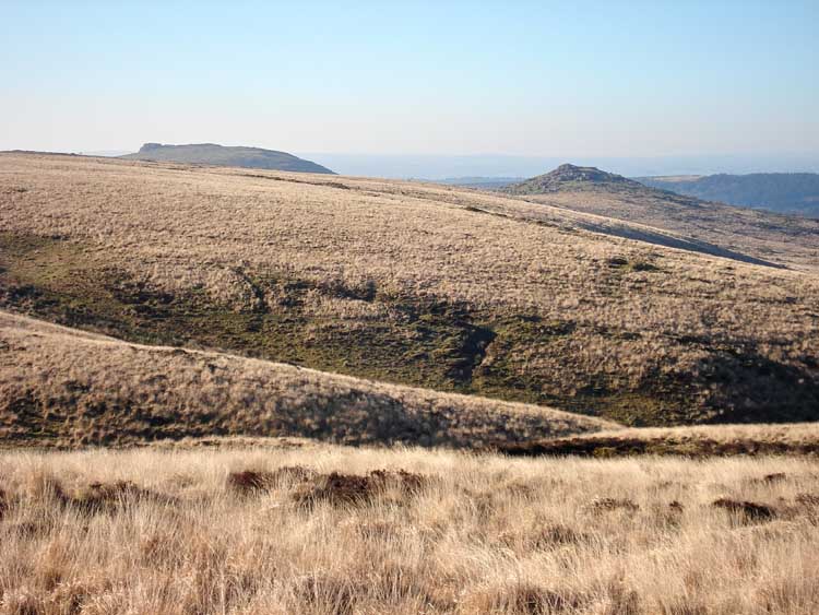
View towards Sheeps Tor and Down Tor.
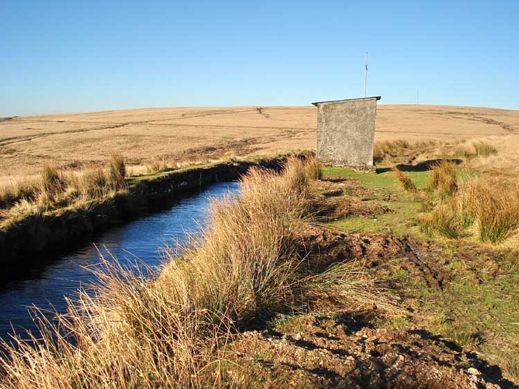
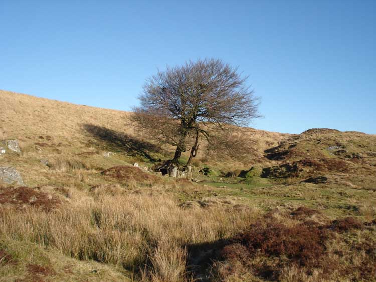
Looking back at the hut.
The sluice, a few meters upstream from the hut.
The sluice, closer.
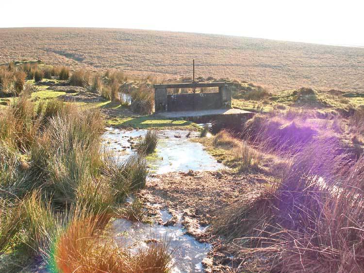
Frozen pool and photographic sun flare at the sluice .....
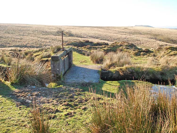
Looking across the clapper bridge at the sluice
Looking towards the Devonport Leat Cross from the sluice.
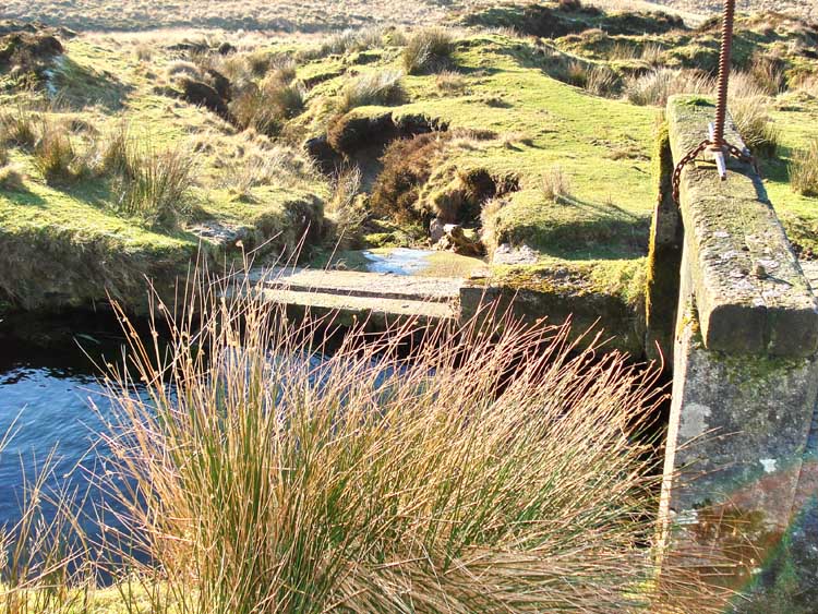
The view behind the sluice, looking at its run-off channel down towards Burrator Reservoir.
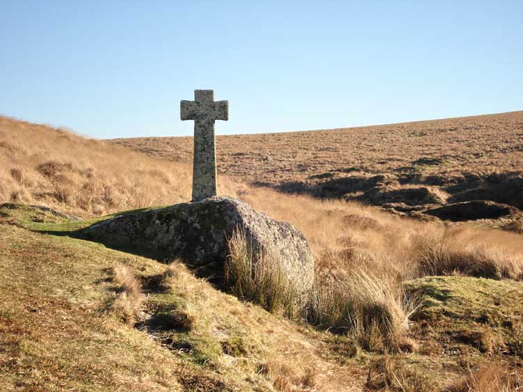
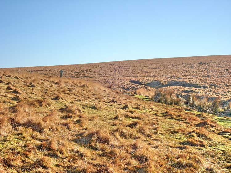
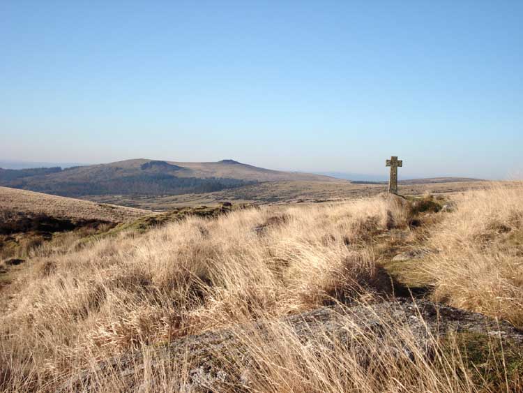
Approaching Devonport Leat Cross.
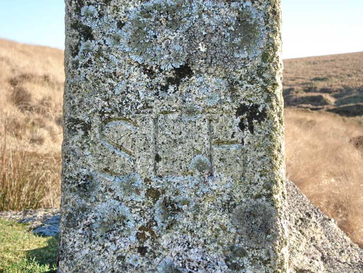
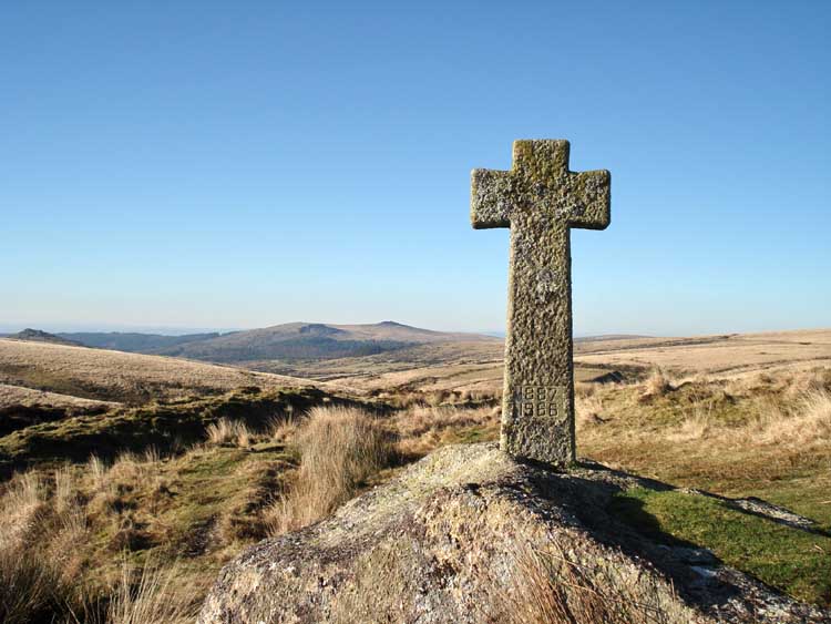
"SLH" engraved on the cross - erected in 1968 as a memorial to Mrs SL Hutchinson.
View towardsSharpitor (centre) with Leather Tor (to the left) with Peeks Hill behind and Down Tor at extreme left.
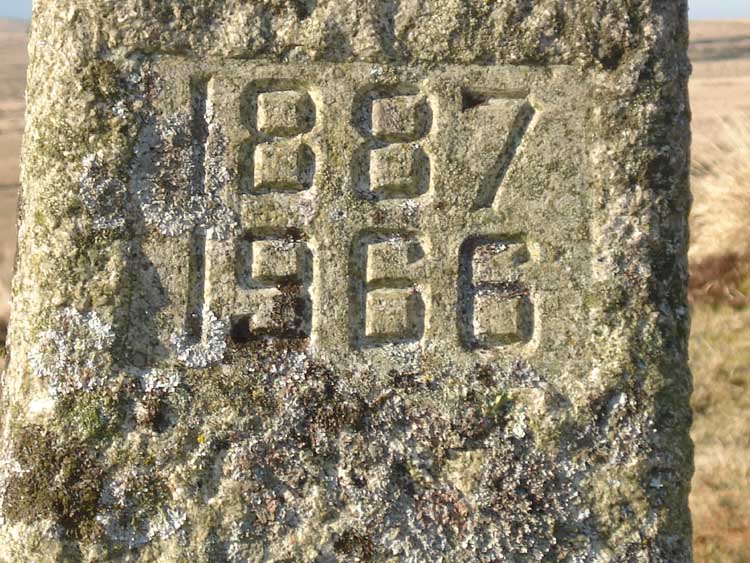
Memorial dates 1887-1966.
A view looking back .....
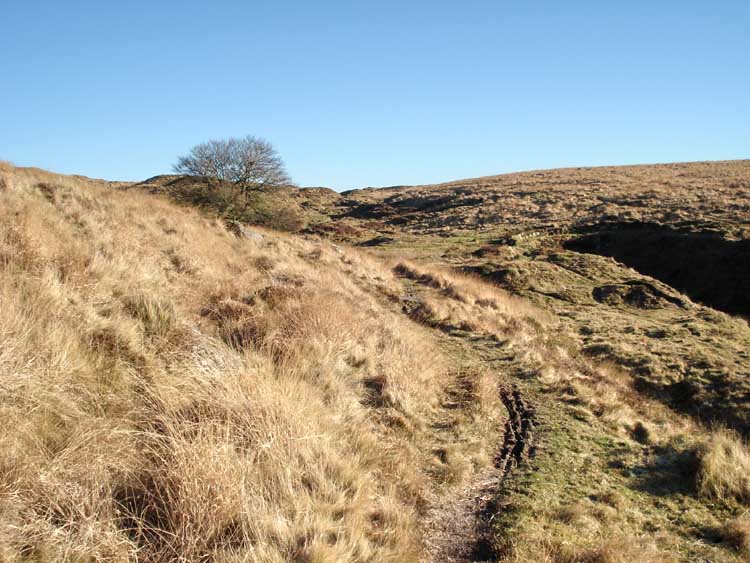
..... and shortly after, looking forward, towards the Smithy. The cutting with the leat coming out of the hill is at the extreme right.
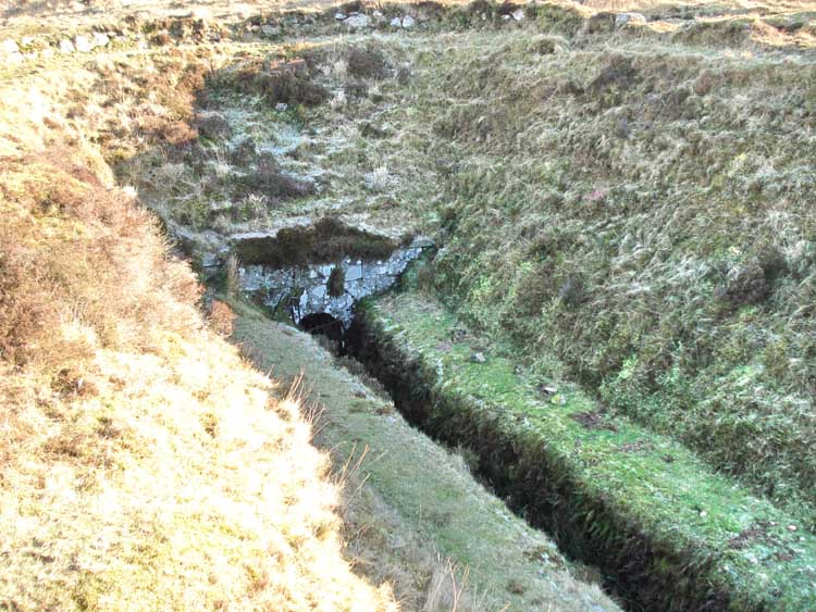
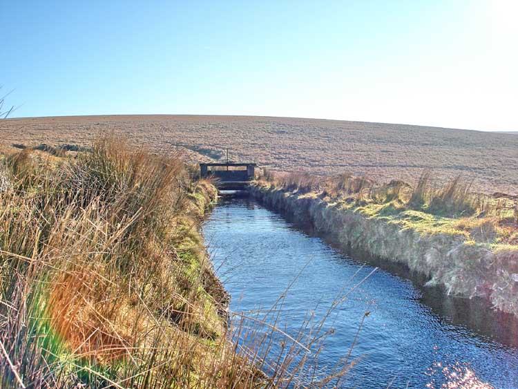
The Devonport Leat, emerging from the tunnel near Nun's Cross.
The Smithy in sight, at SX 601 699.
Approaching the Smithy on a very cold and windy day, a welcome shelter for coffee .....
 Matthew |
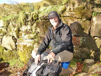 Keith |
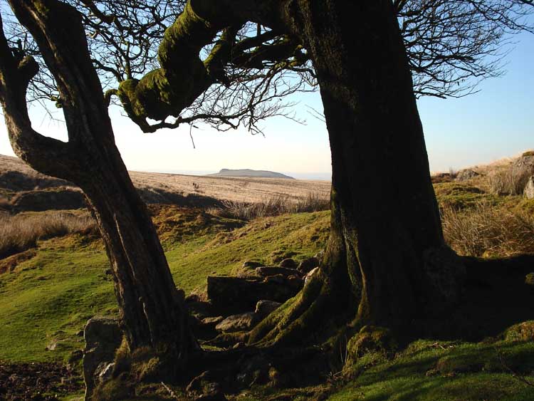
A view of Sheeps Tor, through the trees beside the Smithy.
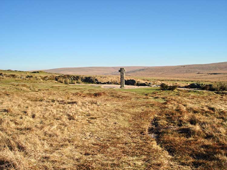
Nun's Cross, or Siward's Cross.
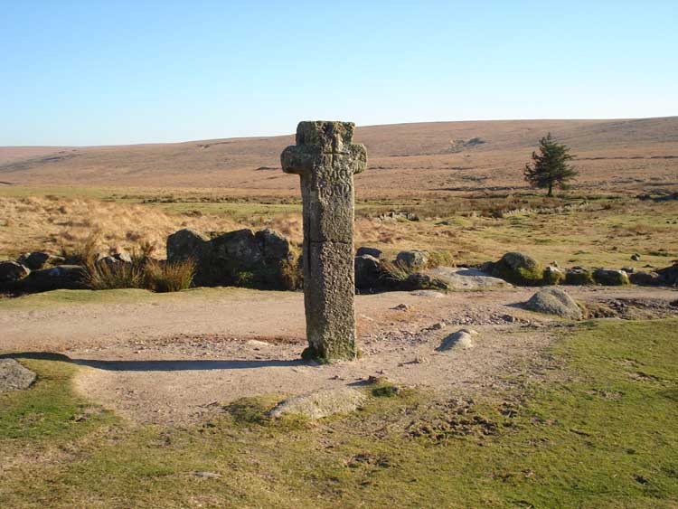
Closer .....
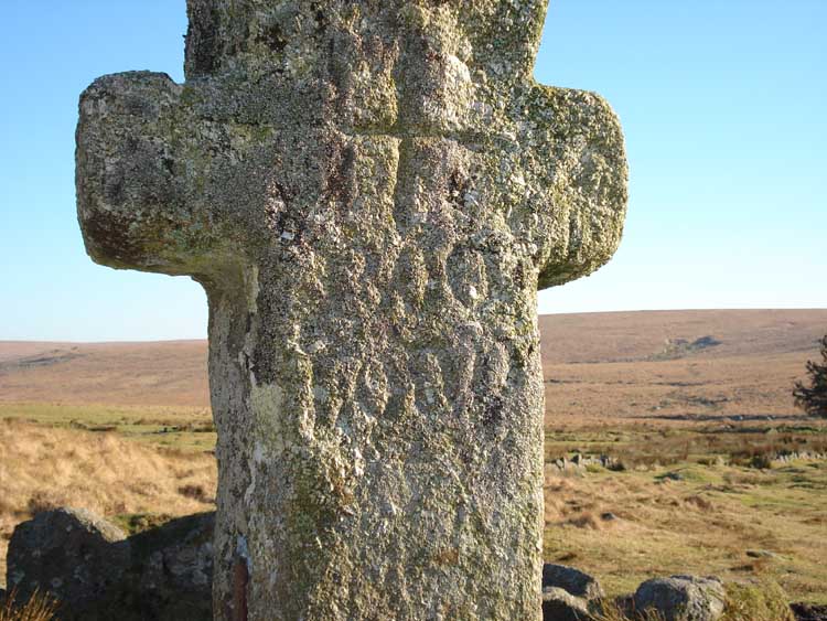
The "BOC-LOND" inscription on the west face. There is an illegible inscription on the other face, well-weathered and covered by lichen etc. which is reputed to say SIWARD or SYWARD (more detail on Legendary Dartmoor web site here).
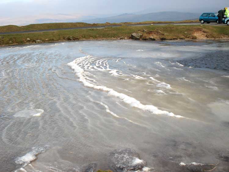
Driving home, we noticed that the dew pond by the road (SX 557 706) near Sharpitor was frozen into "waves", it was photographed the following morning .....
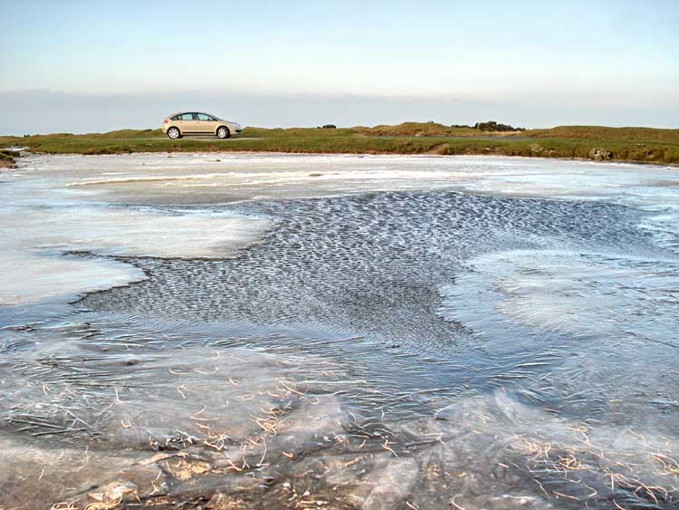
Unfrozen water in the middle of the pond, with ice around the edges.
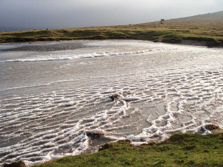
"Waves" apparently frozen in time ..... it was -2�C when I was there with a very cold wind blowing from the east.
Another view of the frozen dew pond.
MAP: Blue = planned route,
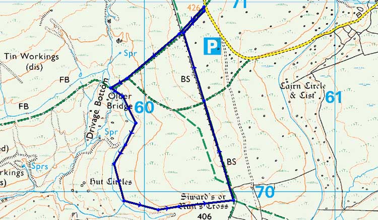
Reproduced from Dartmoor OS Explorer map 1:25 000 scale by
permission of Ordnance Survey
on behalf of The Controller of Her Majesty's
Stationery Office.
© Crown copyright. All rights reserved. Licence number 100047373.
Also, Copyright © 2005, Memory-Map Europe, with permission
The approach was via the main road into Princetown and then down Tor Royal Lane, next to the mini-roundabout by the Plume of Feathers. There are several small parking spots but the biggest is the small quarry, marked by the P symbol on the map.
Statistics
Distance - 3 km / 1.9 miles.
All photographs on this web site are copyright ©2007-2016 Keith Ryan.