![]()


Walk details - Information about the route etc. are on the second page of photos from this walk, as is the map etc of the planned route and the actual track followed.
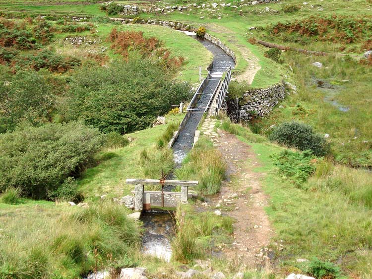
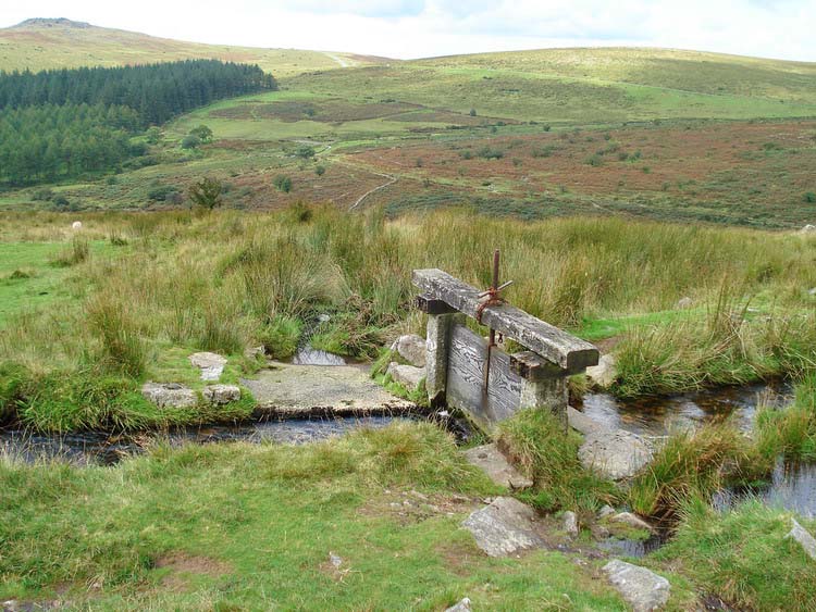
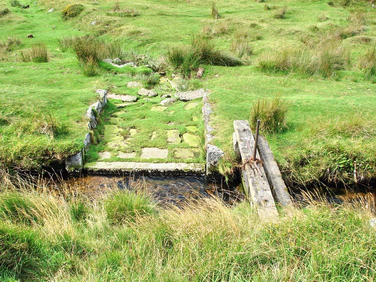
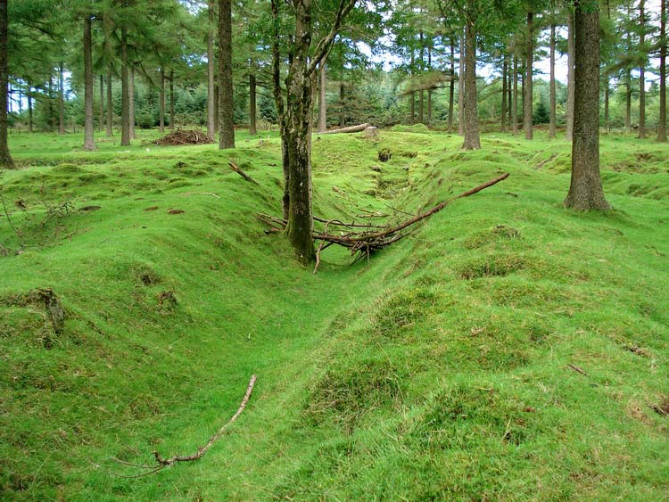
Looking down on the aqueduct for Devonport Leat over the River Meavy, with the first sluice immediately before the aqueduct. The sluice drainway is to the left, down towards the river.
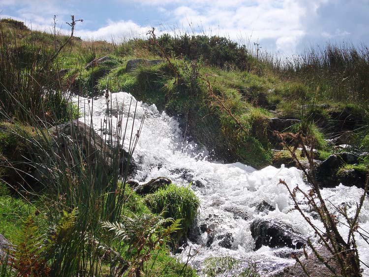
Another photo of the tumbling leat.
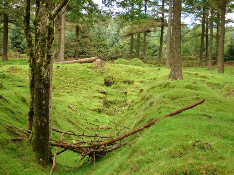
The 2nd sluice at SX 57546 71155, with its runoff chanel down towards the River Meavy.

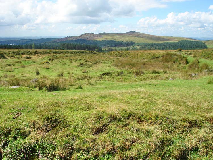
Another view from the 2nd sluice towards Ingra Tor (left) and Leedon Tor (right) - these are offered from memory and without compass bearings, sorry, Dave, although this seems to agree with Google Earth when it is rotated and tilted appropriately!
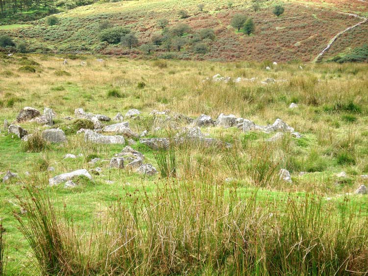
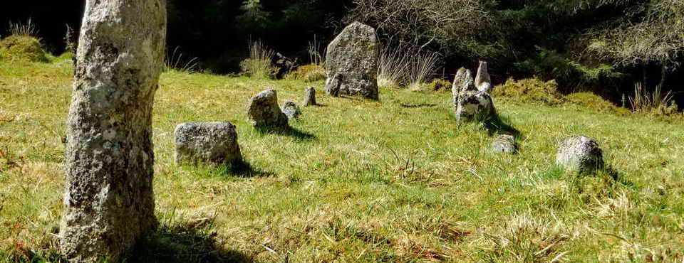
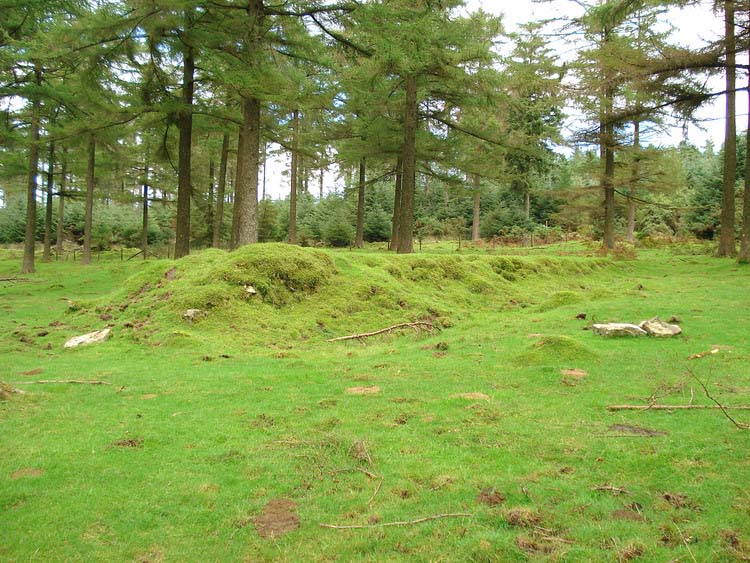
Round house hut circle at the just across the leat viewed from approx. SX 57565 71123.
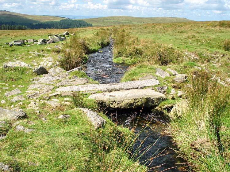
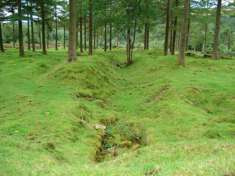
View from 3rd sluice (?) down a wide dug-out "channel" area (from tin-mining?) looking back towards Stanlake/Raddick Plantations (the northern part of the plantations at Burrator), with Leather Tor (left) and Sharpitor (right) and Peek Hill in between them.
The 2nd sluice with its run-off channel, towards the reservoir/River Meavy.
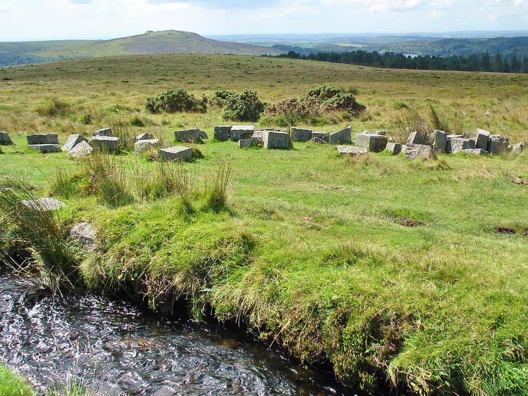
Some granite blocks on the other side of the leat (foreground, left), near the leat footbridge above Crazy Well Pool, with Sheeps Tor in the distance. The blocks may be left behind from the building of the leat or perhaps intended for repairs etc, possibly from when the sluices were installed.
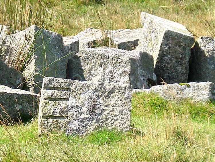
'Feather and tare' marks in a granite block, showing the method of cutting - not a modern saw cut (see last three photos below from another location).
Footbridge over the leat, above Crazy Well Pool, at SX 58352 70563, with the spare granite blocks beyond.
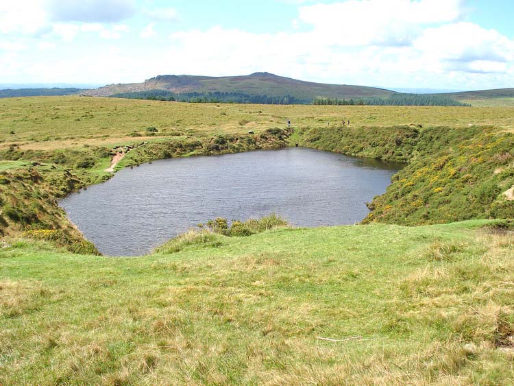
A view looking over Crazy Well Pool, from the path down from the footbridge, with Leather Tor (left) and Sharpitor (right) in the istance.
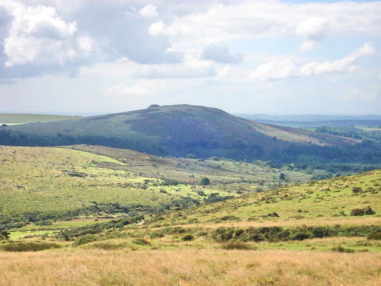
View from the approach to Crazy Well Pool across to brooding Sheeps Tor. The track back to Norsworthy bridge can just be seen at the bottom of this slope.
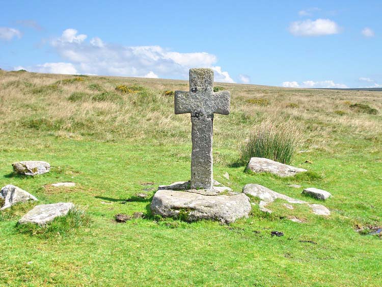
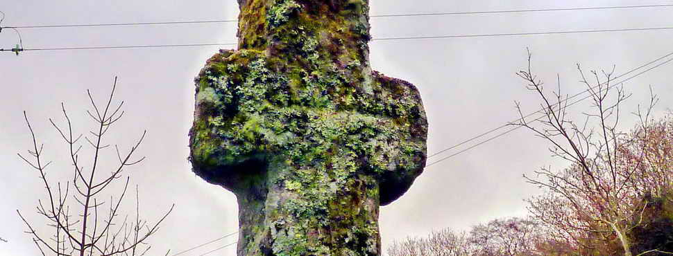
The restored cross at SX 58320 70428, by Crazy Well Pool.

Another view from near Crazy Well Pool, with Sheeps Tor (left) and Burrator Reservoir, with another view of the track back tp Norsworthy bridge car park.

Looking across Crazy Well Pool from the southern side.
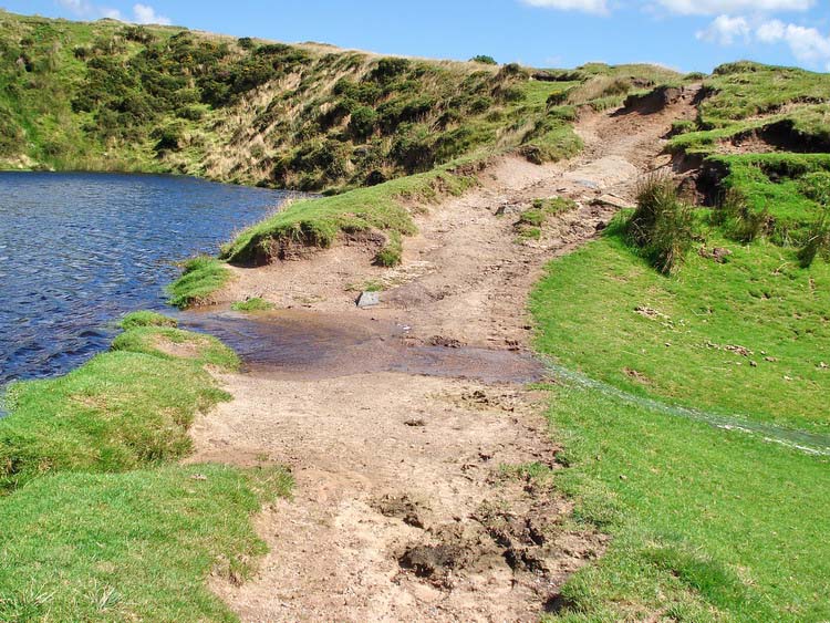
The water was running over the southern edge of the pool, with the moors being the wettest I have seen them in August. At this time of the year, you expect to see a bit of the beach because the water level is usually much lower.
According to the description of the walk in the Dartmoor Rescue Group, Plymouth Section, book Walking in Southern Dartmoor, Walk 11, where it is called Mines, Farms, Water and Forest, there is a worked millstone on the slope a little before you reach the edge of the plantation. Two of us had a good look but we were unable to find it.
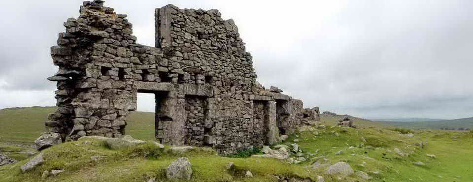
Part of the Keaglesborough Mine in Raddick Plantation. This view looks up towards the old wheel pit which was 'fixed' at SX 57377 70140 by GPS. At the top of the photo can be seen the raised bank that brough in the leat to drive the water wheel.
Another view, similar to the previous photo.
View of the raised bank where the leat came in to drive the wheel.
Looking down the slope from above the wheel pit.
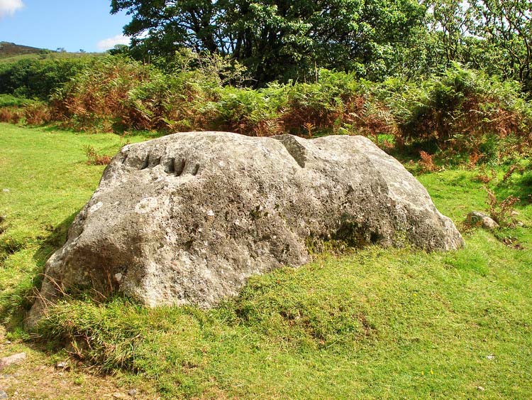
A large 'worked' rock, abandoned, seen on the left just before reaching the lane junction where the walk started. The front face has a number of feathers and tares left in it (see next photo). GPS location: SX 56989 69499 � 5 meters.
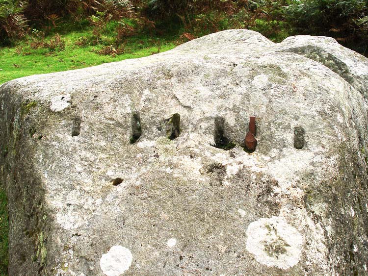
Quote: "The splitting of the granite was done by a method known as 'feather and tare', which had replaced the former 'wedge and groove' method around 1800; this more reliable method being another reason why the use of granite had become practicable. The new method worked by means of a series of holes was made along a potential line of fracture using a tool called a 'jumper'. 'Feathers', were metal prongs with a curved upper end. Two of these were inserted into the holes, the curves in opposite directions at 90 degrees to the line of potential fracture. A wedge shaped metal tare was hammered between the two until the granite fractured." (Source: Wikipedia - Haytor Granite Tramway).
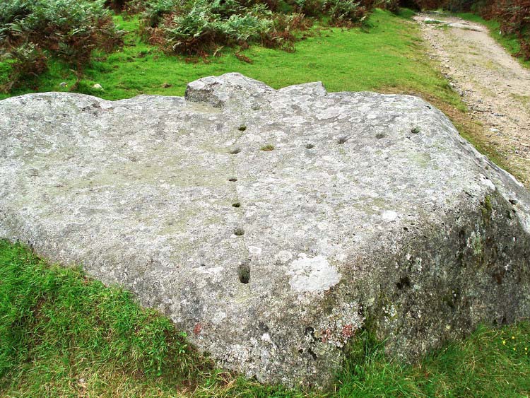
A view of the 'dotted line' of holes in the top surface of the rock, ready for splitting.
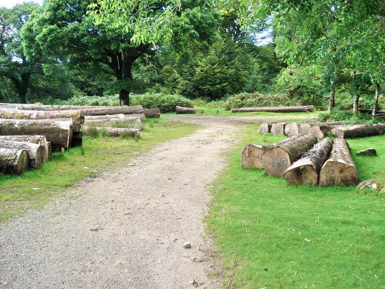
Signs of forestry work, felled trees waiting to be taken away.
MAP: Blue = planned route, Red = GPS satellite track of the actual walk.
The blue lines are the compass or GPS bearings. The red line is the route actually walked: it deviates sometimes from the blue lines to avoid obstacles such as thick bracken, gorse, bogs or clitter, and often to use paths or animal tracks that are not on the map.
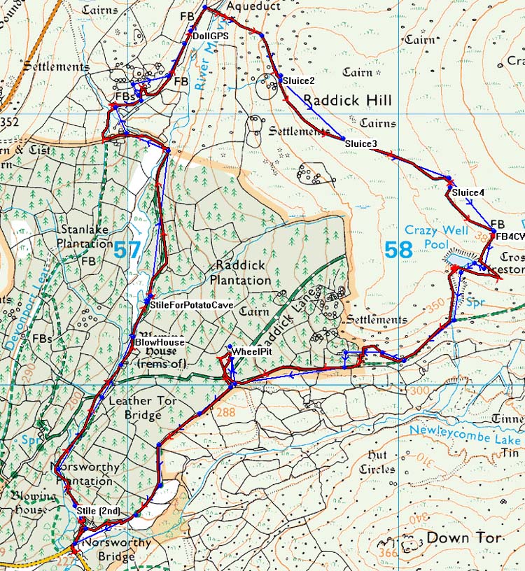
Reproduced from Dartmoor OS Explorer map 1:25 000 scale by
permission of Ordnance Survey
on behalf of The Controller of Her Majesty's
Stationery Office.
© Crown copyright. All rights reserved. Licence number 100047373.
Also, Copyright © 2005, Memory-Map Europe, with permission
The road via Yelverton and Dousland are good public roads. The road into Burrator Resrevoir is also an easy road without a central white line. Parking is also easy at the far end of the reservoir in car parks at Norsworthy Bridge (bottom edge of the map above).
Statistics
Distance - 7.5 km / 4.7 miles.
Start 9.56 am, Finish 2.24 pm, Duration 4 hr 30 min.
Overall average 1.67 kph / 1.04 mph.
Click here to see the first page of the walk.
All photographs on this web site are copyright ©2007-2016 Keith Ryan.
All rights reserved - please email for permissions