![]()


This walk: 2008-9-4. Harford Moor Gate, stone row (small), standing stones, Hobajohn's Cross, Spurrell's Cross, pool, cist, Hangershell Rock, Belted Galloway cattle, stone circles.
The walk was based on the Short-ish Walks on Dartmoor book, "Walk 14 - Piles Hill and Butterdon Hill". As the weather was dull, windy and showery, we cut it short from the planned blue route (see map below) as the red track shows and headed for the Cornwood Inn. After we came out, we saw it had obviously rained heavily so we thought it had been a wise decision!
Walk details below - Information about the route etc.
All map references on this page are taken from Memory Map, except for the cist.
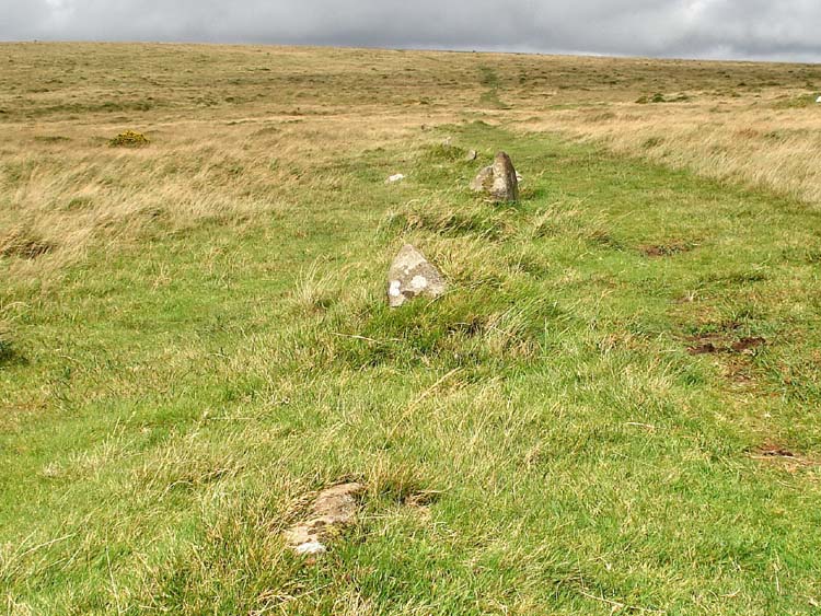
Part of Butterdon Hill stone row somewhere near SX 65578 59930. This incomplete row stretches for about 2 km but it is composed of very small stones and is not really very impressive to look at.
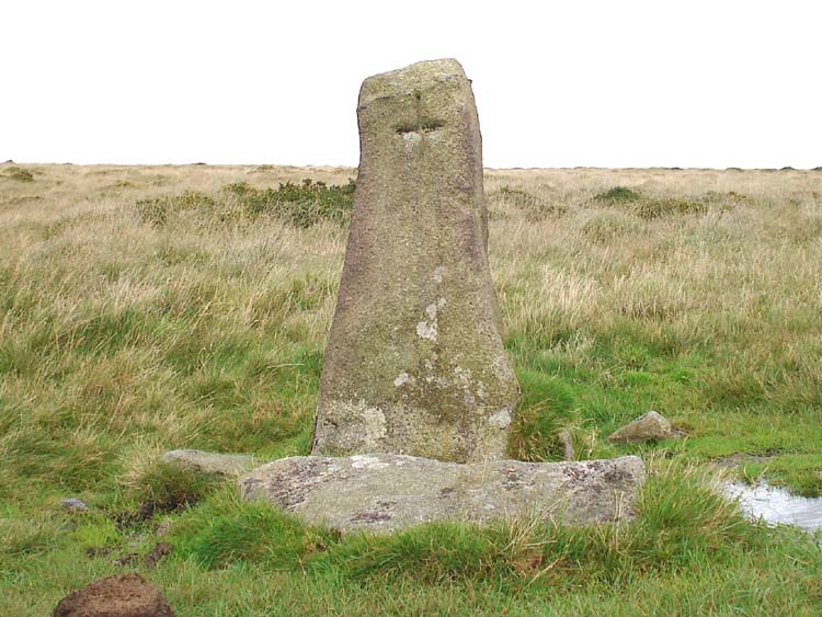
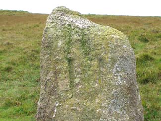
Hobajons Cross at (SX 65513 60475), in the stone row. The cross is incised in the west face.
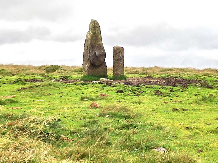
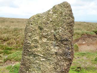
Ancient menhir and 'modern' boundary stone at SX 65433 60750, on the map as "Longstone".
A little further along the stone row, walking northwards up Piles Hill is this boundary stone, see following pair of photographs .....
|
|
|
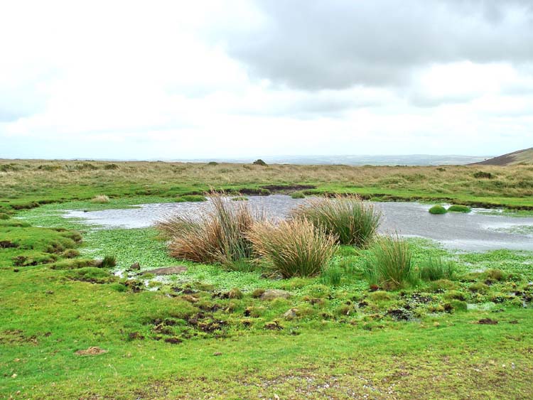
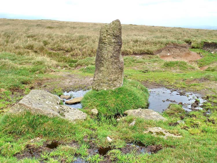
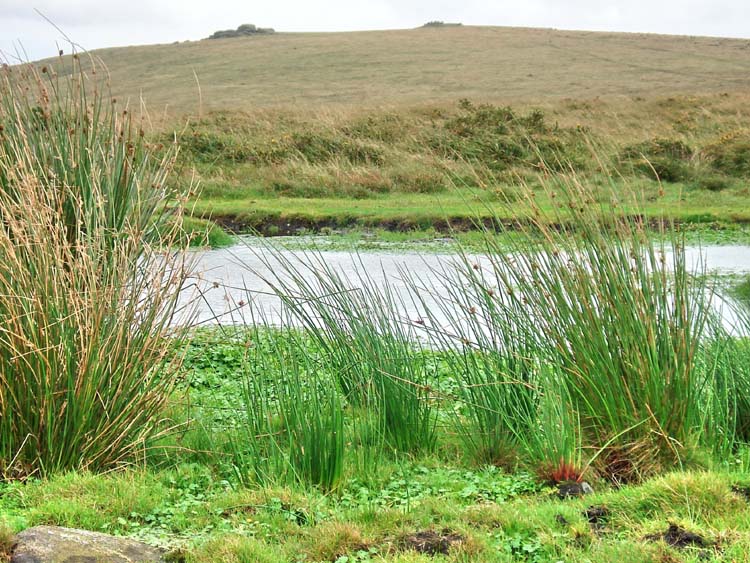
Pool at approx. SX 65790 60078, where a side path leads to Spurrell's Cross.
Zoomed view 133� magnetic towards Ugborough Beacon (left) and Eastern Beacon (right).
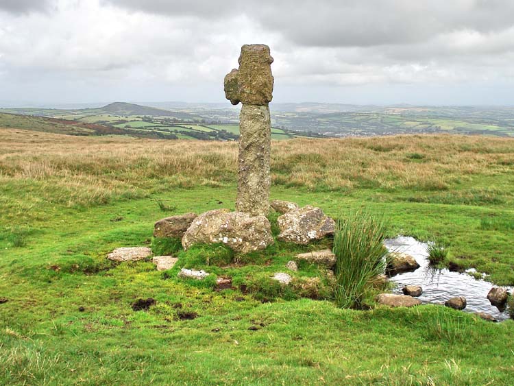
Spurrell's Cross at SX 65910 59970. While mentioned on several pages in William Crossing's Guide to Dartmoor, there seems to be no actual description of this obviously ancient cross.
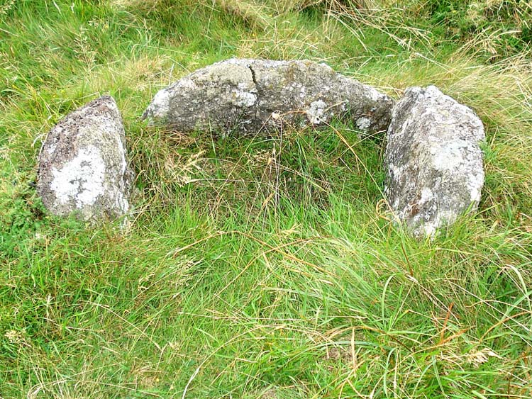
Cist at SX 65780 59342 � 5 meters as 'fixed' by GPS.
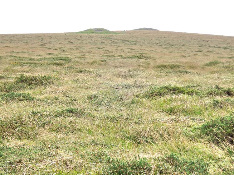
Looking south towards Butterdon Hill from near the cist.
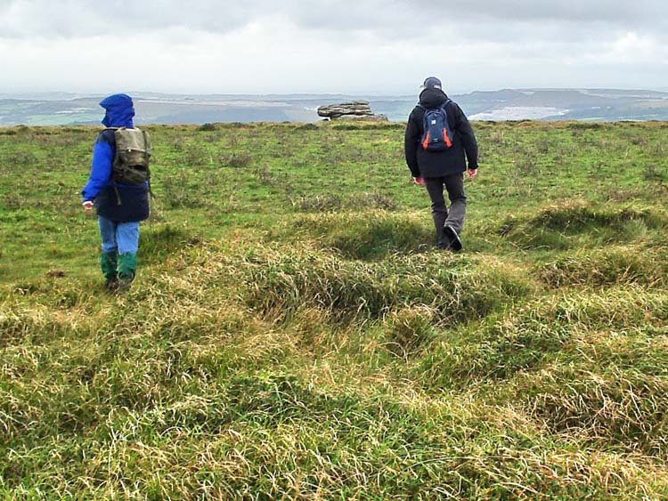
My two walking companions making for Hangershell Rock.
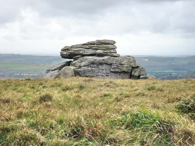
Hangershell Rock, SX 65403 59345.
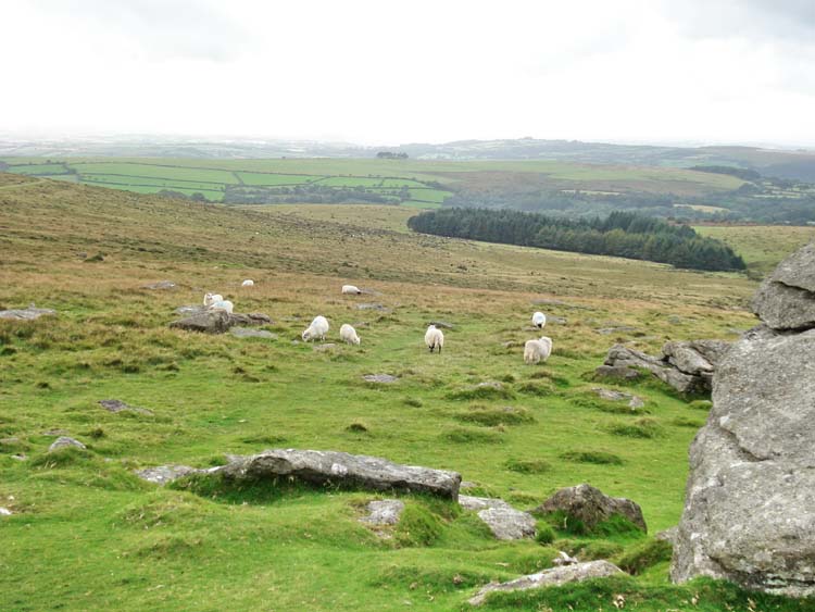
Looking almost due west towards the reservoir, surrounded by a plantation.
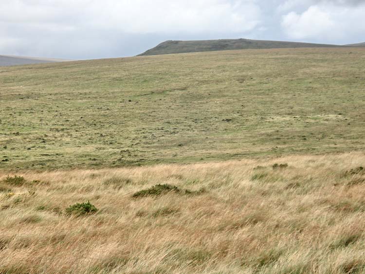
Looking north, to Sharp Tor, 2.35 km / 1.49 miles distant, 413 m / 1354 feet high.
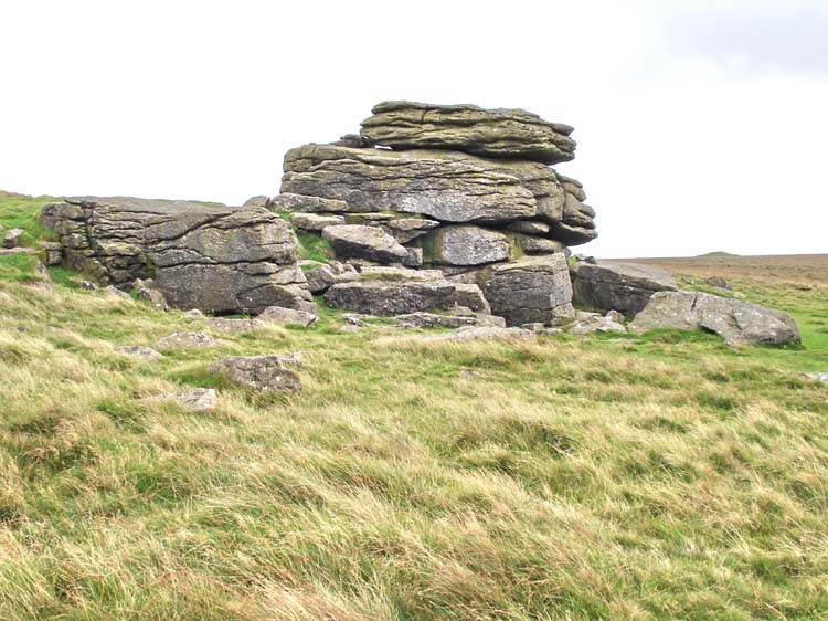
Hangershell Rock seen approx. from the north.
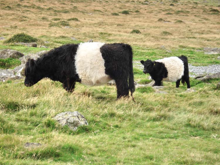
Belted Galloway cows - suited to poor upland pastures, bred for the marbled beef.
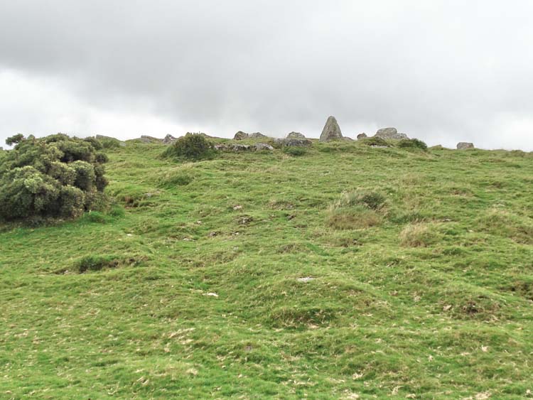
View approaching the hut circles at SX 64448 59295, beside the reservoir.
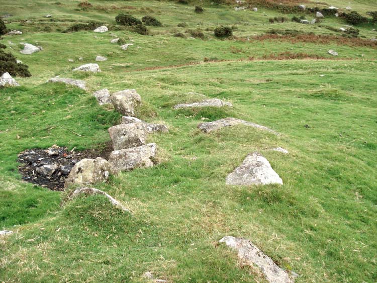
Close-up of the wall of a hut circle, showing the double circle of main stones (orthostats) which would have been in-filled with smaller stones and earth.
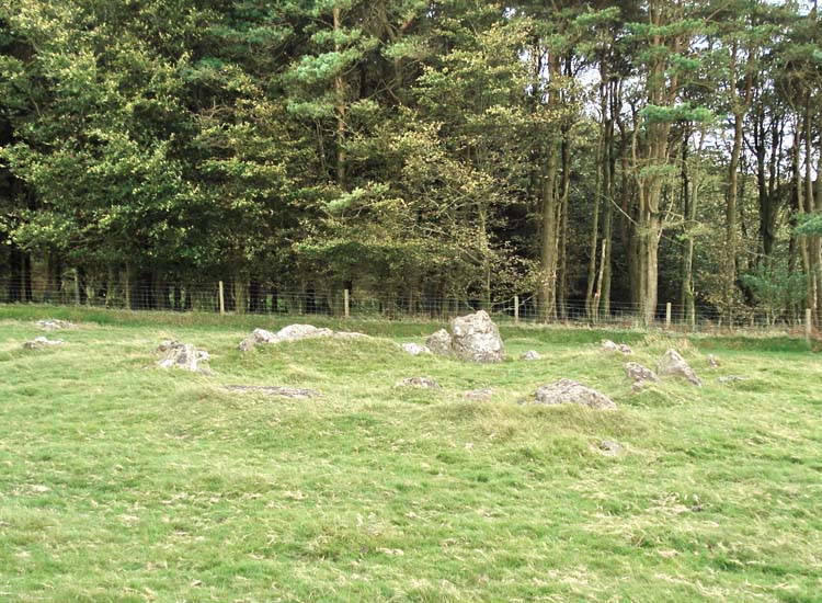
A round house / hut circle just outside the reservoir.
|
Dartmoor CAM
Movies |
|
|
Tip - press F11 (at top of keyboard) to see Full Screen view.
Quicktime movie player: you may also need to
press F11
to see the Play icon
u
at the bottom of the movie image if it comes up in the "Quicktime" movie
player.
Press F11 again to
return to Normal View
to get back to the "Back" button
t on the browser to continue browsing.
Turn up the sound - hear
the wind! |
|
MAP: Blue = planned route, Red = GPS satellite track of the actual walk.
The blue lines are the compass or GPS bearings. The red line is the route actually walked: it deviates sometimes from the blue lines to avoid obstacles such as thick bracken, gorse, bogs or clitter, and often to use paths or animal tracks that are not on the map.

Reproduced from Dartmoor OS Explorer map 1:25 000 scale by
permission of Ordnance Survey
on behalf of The Controller of Her Majesty's
Stationery Office.
© Crown copyright. All rights reserved. Licence number 100047373.
Also, Copyright © 2005, Memory-Map Europe, with permission
Access was via the A38 at Lee Mill, turning up past the large Tesco store and following the road to Cornwood. After turning right in Cornwood, the road becomes very narrow, there are 4.7 km / 2.9 miles of typical narrow Dartmoor lanes to negotiate. Parking was at the P symbol on the map, immediately after passing through Harford Moor Gate.
Statistics
Distance - 7.65 km / 4.75 miles
Start 1.40 pm, Finish 4.25 pm, Duration 2 hr 45 min
Moving average 4.8 kph / 2.98 mph; Overall average 3.1 kph / 1.93 mph
All photographs on this web site are copyright ©2007-2016 Keith Ryan.