![]()


This walk: 2009-1-14. Great Mis Tor and Little Mis Tor on a grey day.
Walk details below - Information about the route etc.
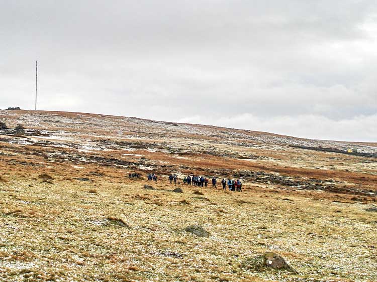
Plymouth Ramblers, again! Heading towards the TV transmitter on North Hessary Tor.
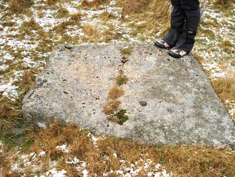
A moor stone that was in the process of being split by the "feather and tare" method.
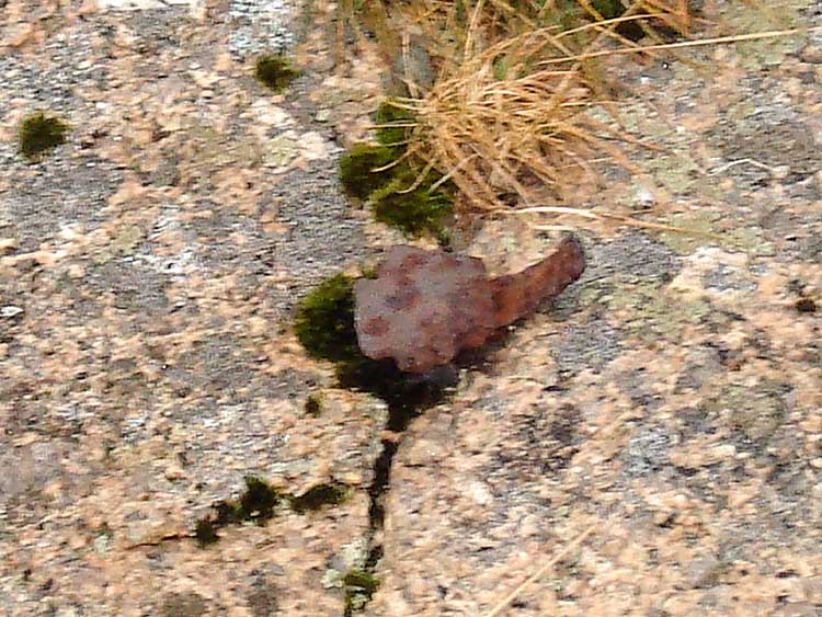
Close-up showing one of the feathers (sticking out to the right) and the central tare (should have used flash because there is blur due to camera shake under the dim available light conditions).
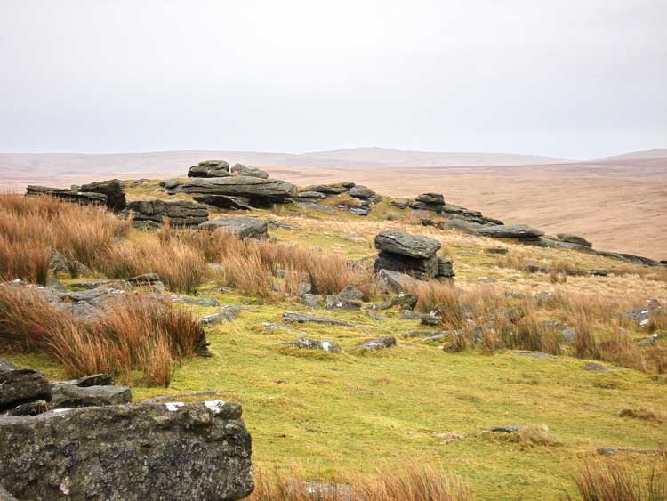
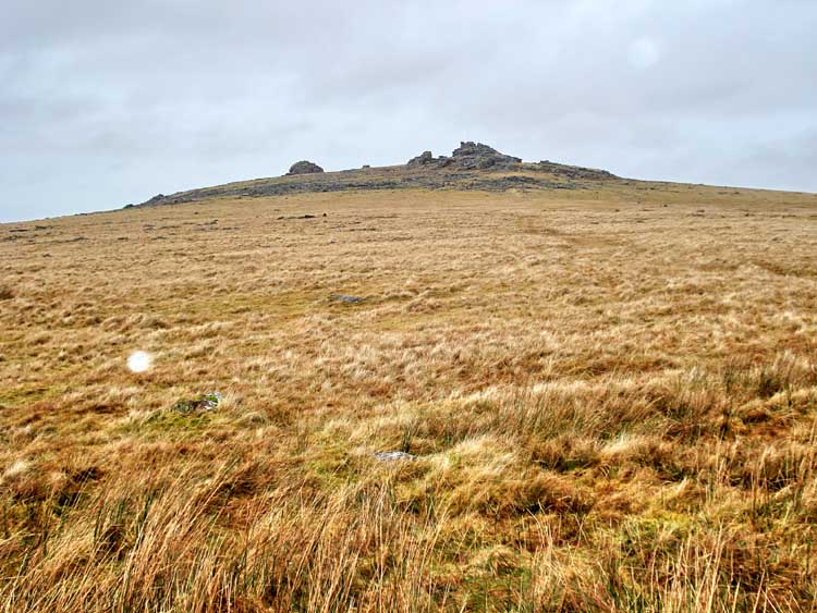
Great Mis Tor, SX 562 769.
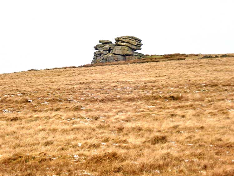
Little Mis Tor, SX 563 762.
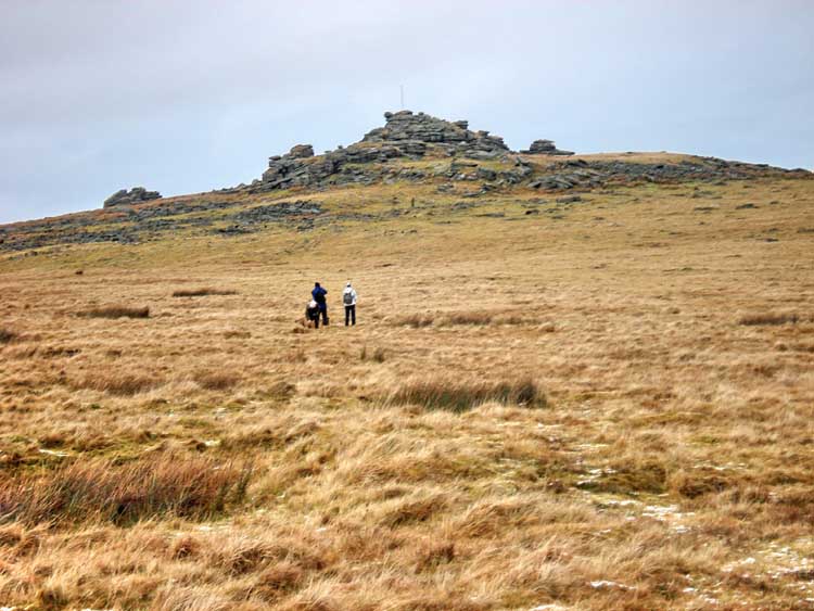
Walkers approaching Great Mis Tor.
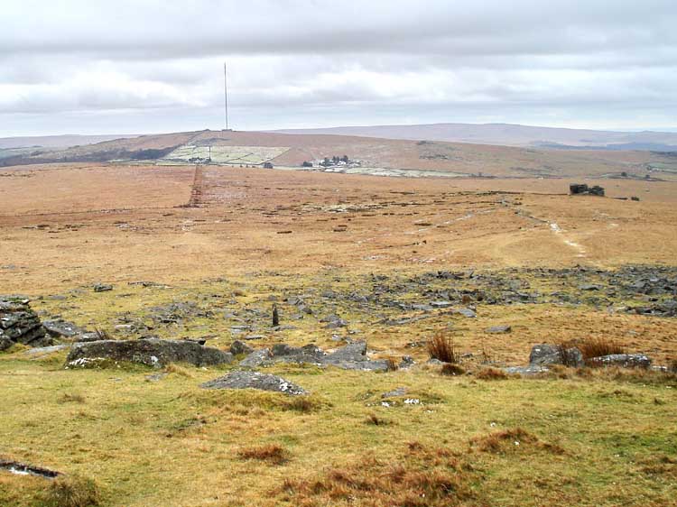
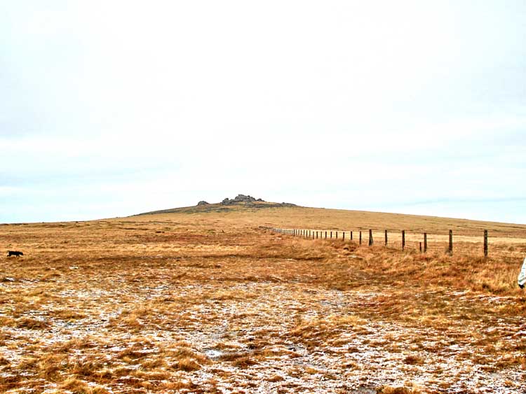
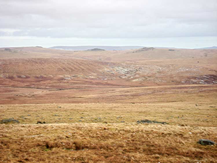
Looking back towards North Hessary Tor, showing two modern field systems.
Looking northwards from Great Mis Tor, towards the rocks of Fur Tor (21 � Magnetic, 6.55 km / 4.05 miles distant) and Cut Hill.
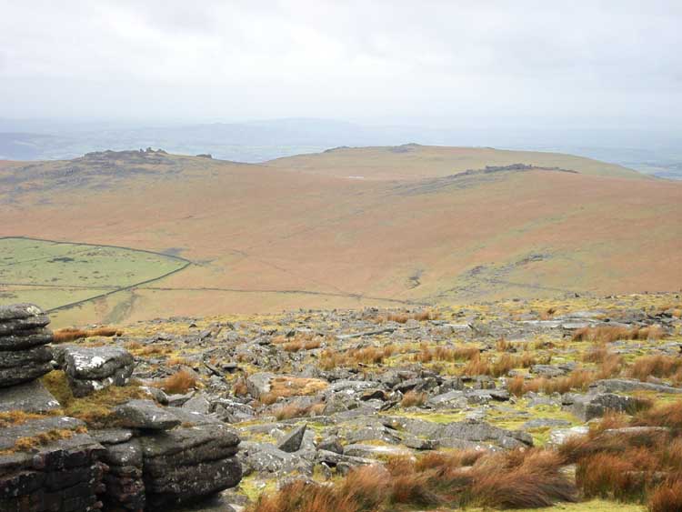
Looking eastwards from Great Mis Tor towards Higher White Tor (left, 5.9 km / 3.7 miles), with Longaford Tor (centre, 5.4 km / 3.3 miles) and Beardown Tors (right, 84 � Magnetic, 4.22 / 2.6 miles distant). Note scarring on the slope opposite from peat cutting for the old naphtha works in the prison when it wasn't being used as a prison.
..... or, possibly - Lydford Tor or even Crow Tor to the very left with Conies Down Tor in the foreground on the left - you tell me.
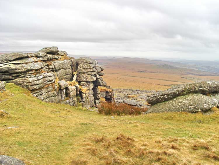
Looking west from Great Mis Tor.
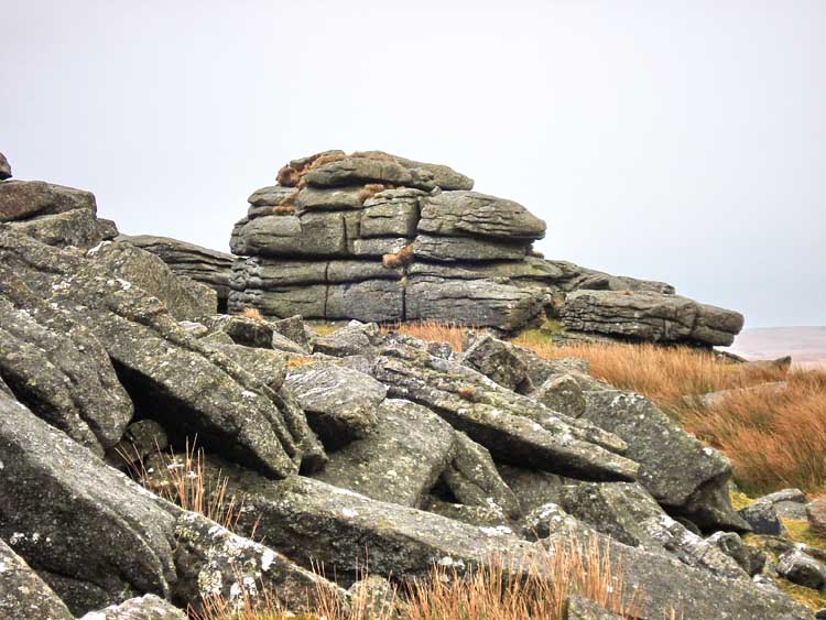
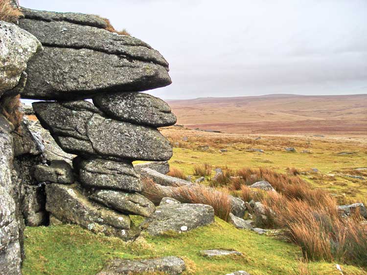
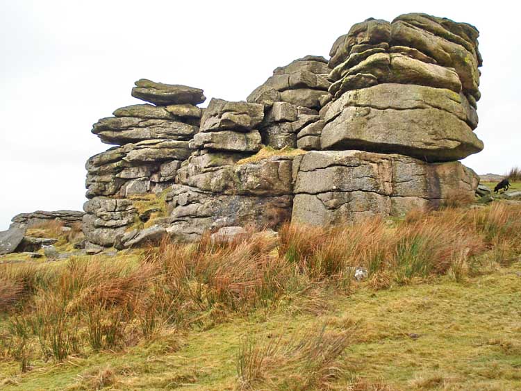
Great Mis Tor rock formation.
Looking south-west from Great Mis Tor, showing Great Staple Tor (left, 3.25 km / 2 miles distant) and Roos Tor (right). The pond in between these two is at SX 536 762 and is 2.71 km / 1.7 miles away). Cox Tor is beyond.
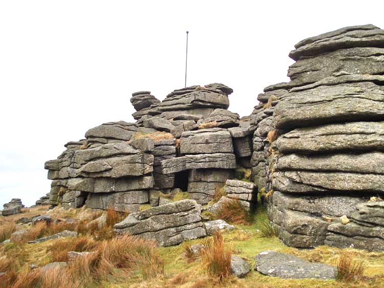
Great Mis Tor rock formation, with military firing range flag pole.
Great Mis Tor rock formation.
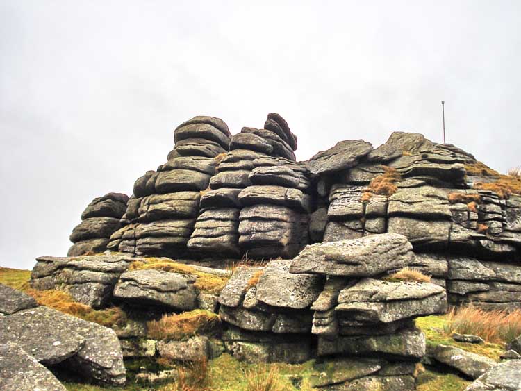
Great Mis Tor rock formation.
Great Mis Tor rock formation.
Great Mis Tor, last look, with a rain drop on the camera lens.
Red line = GPS satellite track of the actual walk.
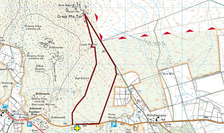
Reproduced from Dartmoor OS Explorer map 1:25 000 scale by
permission of Ordnance Survey
on behalf of The Controller of Her Majesty's
Stationery Office.
© Crown copyright. All rights reserved. Licence number 100047373.
Also, Copyright © 2005, Memory-Map Europe, with permission
The access to this walk is very easy, on the B3357 Tavistock-Princetown road, with parking at Four Winds (marked by the yellow cross on the map above, which masks the standard P symbol).
Statistics
Distance - 4.81 km / 2.99 miles.
Start 10 am, Finish 12 am.
Overall average 2.4 kph / 1.5 mph.
All photographs on this web site are copyright ©2007-2016 Keith Ryan.