![]()


This walk: 2009-1-21. Blackaton Cross and Trowlesworthy Tors, with views to Leather tor, Sharpitor, Sheeps Tor, Hexton Tor, Hen Tor.
Walk details below - Information about the route etc.
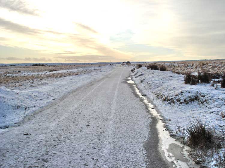
The approach to the car park was very interesting - thick, rough, crunchy ice. At least we all managed to drive on it successfully and it wasn't like a sheet of glass! Mind you, that slope concentrated the mind!!
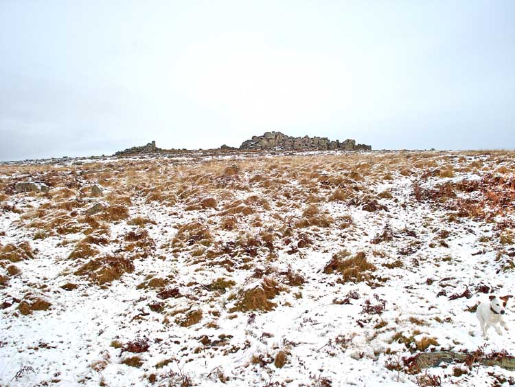
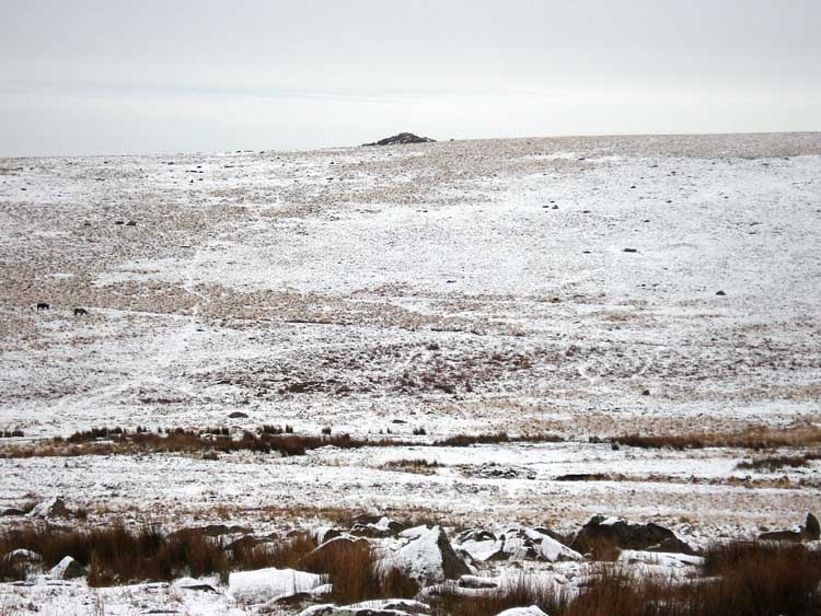
Great & Little Trowlesworthy Tors seen from the car park.
A zoomed view, showing from the extreme left - Sharpitor, Leather Tor and Sheeps Tor, with North Hessary Tor (centre of the photograph) in the distance. Compare this perspective with a later view from Trowlesworthy Tor, click here.
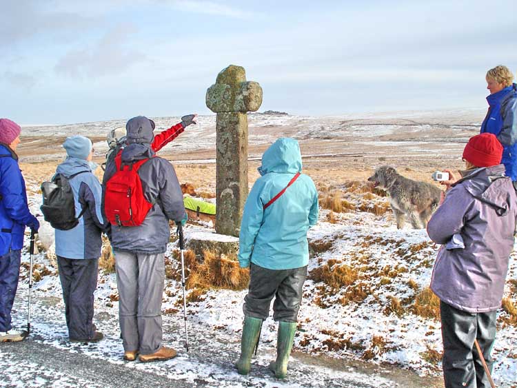
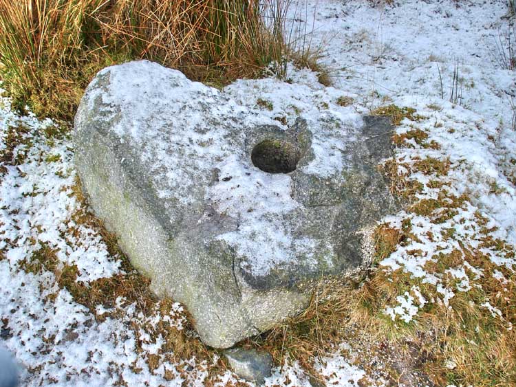
" ..... its a cross ........ Blackaton Cross, formerly known as Roman's Cross ...... " The full details about the cross can be seen on the "Dartmoor Crosses" web site, here. Only the head and base are original.
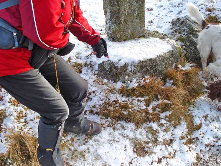
The circular stone base of the cross bears a benchmark. This is an engraved broad government arrow with a horizontal line above that was used as a reference level by surveyors.
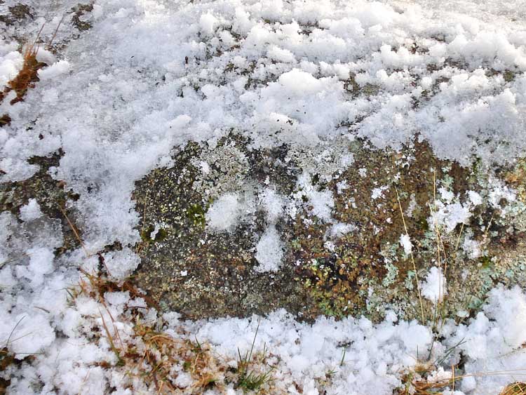
Close-up view of the benchmark - the arrow head grooves are filled with snow.

" ..... its definitely a cross ..... "
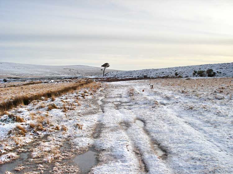
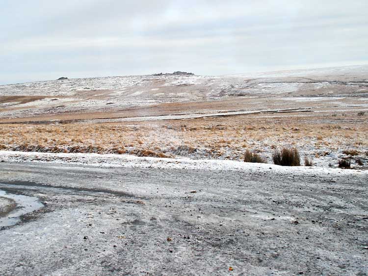
A view along the way.
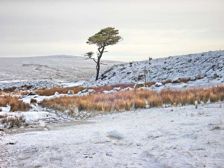
Closer to this solitary Scots Pine tree (assumed identification - it not being a spruce, larch or fir).
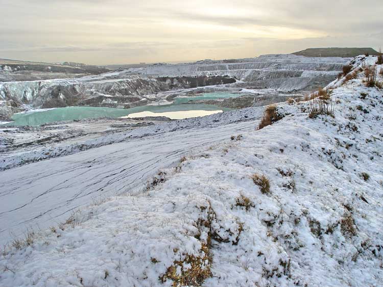
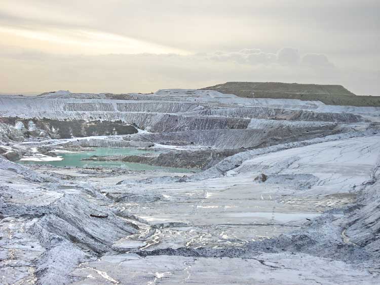
First view into the china clay pit area.
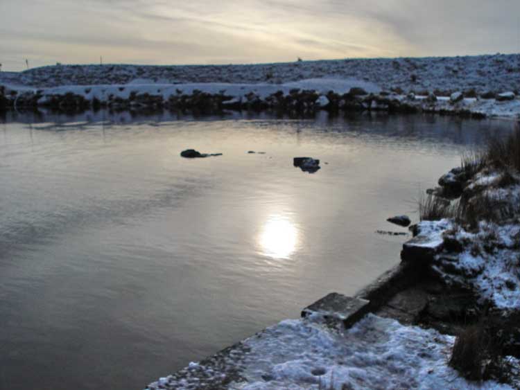
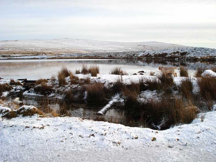
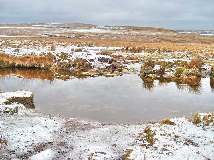
The sun tried to break through the cloud occasionally, here it is reflected in the pool.
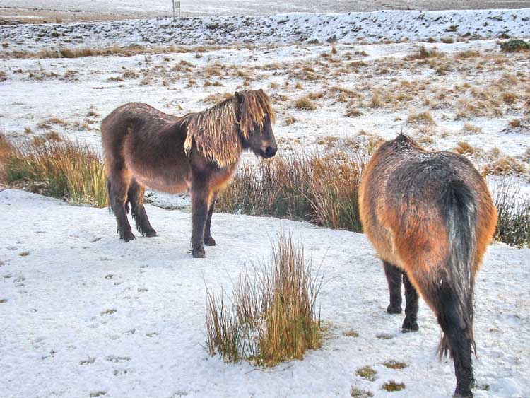
"Have you seen that brass monkey over there .....?"
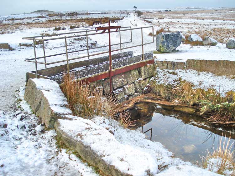
Sluice in the Lee Moor leat, formerly known as the Bottle Hill Mine leat.
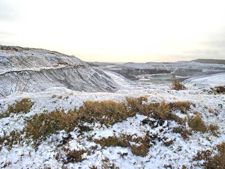
Another view into the china clay pit.
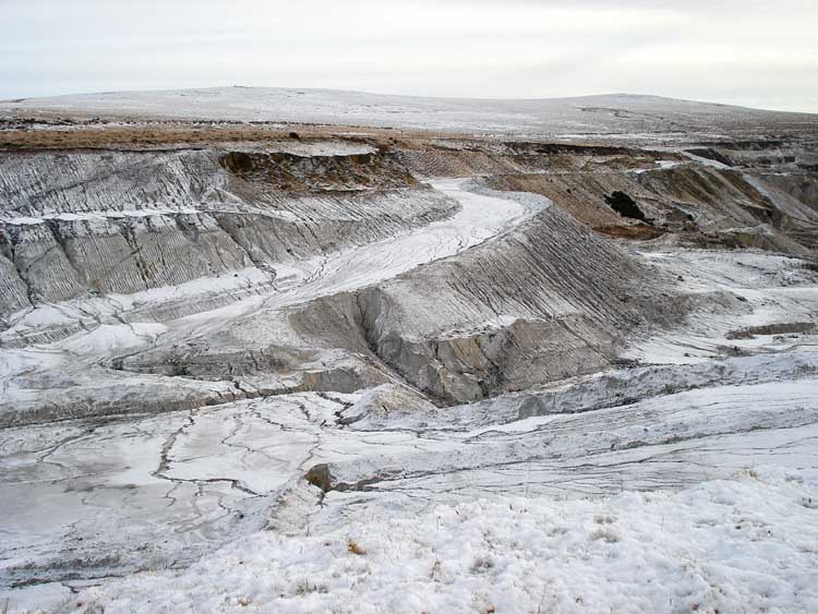
Ditto .....
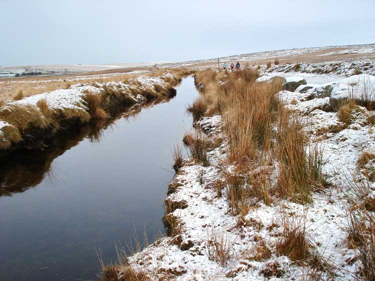
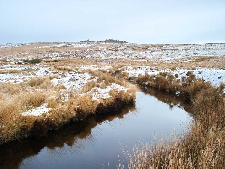
A view along the leat.
A zoomed view of Great Trowlesworthy Tor.
Another perspective into the pit.
A stone with a modern-looking round hole, beside the leat.
Leat and tor ...... tor and leat.
A last look into the clay pit.

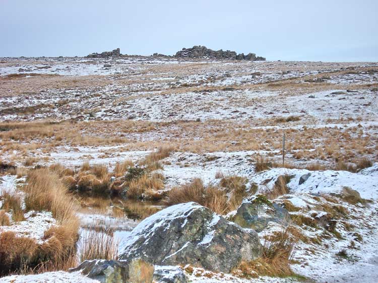
The little known Hexton Tor (SX 582 637), which is not marked on maps, although it is listed here, on the "Legendary Dartmoor" web site.
Approaching Great Trowlesworthy Tor from the west.

A panorama of three photographs, taken from the eastern side of Great Trowlesworthy Tor: for a larger image, click here (if you are using the trick of the F11 key for full screen view, use the left and right cursor or "arrow" keys to pan left and right. You will need the F11 key again to access the "back" key on your browser).
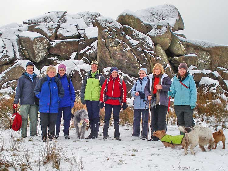
A brave group of Moor Strollers .....
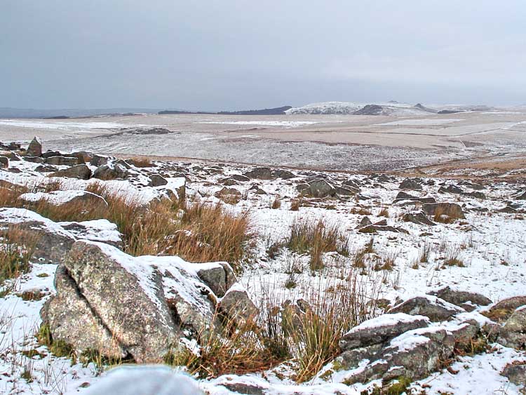
View from Trowlesworthy Tor to the north, to Burrator. The three tors to the right appear in the next photograph.
A zoomed view of Sheeps Tor (left), Sharpitor and Leather Tor. The perspective is quite different compared to the earlier view.
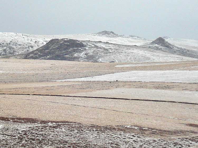
Hen Tor, seen from Trowlesworthy Tor (SX 593 653, distance: 1.62 km / 1 mile).
A breech in the leat seen on the way back, the area appeared like a water cross-roads, with the stream running in from the left foreground.
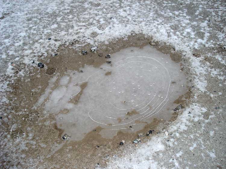
A curious puddle with concentric stress lines or fractures in the surface ice and with hanging drops beneath.
MAP: Red = GPS satellite track of the actual walk.
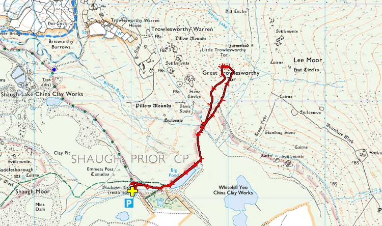
Reproduced from Dartmoor OS Explorer map 1:25 000 scale by
permission of Ordnance Survey
on behalf of The Controller of Her Majesty's
Stationery Office.
© Crown copyright. All rights reserved. Licence number 100047373.
Also, Copyright © 2005, Memory-Map Europe, with permission
The roads to Cadover Bridge, either from Plympton or the Meavy direction are easy roads but on this day the road from Cadover Bridge to the Blackaton Cross car park was covered in rough ice (see the first photograph). Although it was not very slippery at that stage, the continuous crunching under the tyres on the way along it was quite a rare experience, at least to me!! Parking was at the park indicated by the yellow cross and the the P symbol on the map.
Statistics
Distance - 4.24 km / 2.64 miles.
All photographs on this web site are copyright ©2007-2016 Keith Ryan.