![]()


This walk: 2009-10-12. A totally blue sky day: Gutter Tor, Scout Hut, Legis Tor, Ditsworthy Warren House, Drizzlecombe stone rows, Giant's Basin, The Royal Oak pub at Meavy.
Walk details below - Information about the route etc.
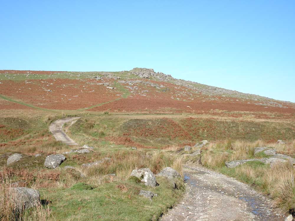
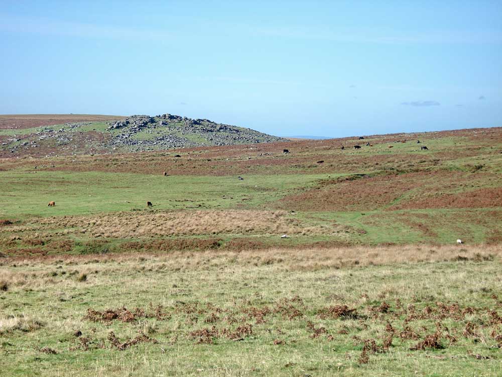
Gutter Tor, SX 577 668, elevation 341 metres (1118 feet).
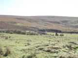
Looking back at the Scout Hut, SX 51180 67360 with Leeden Tor behind.
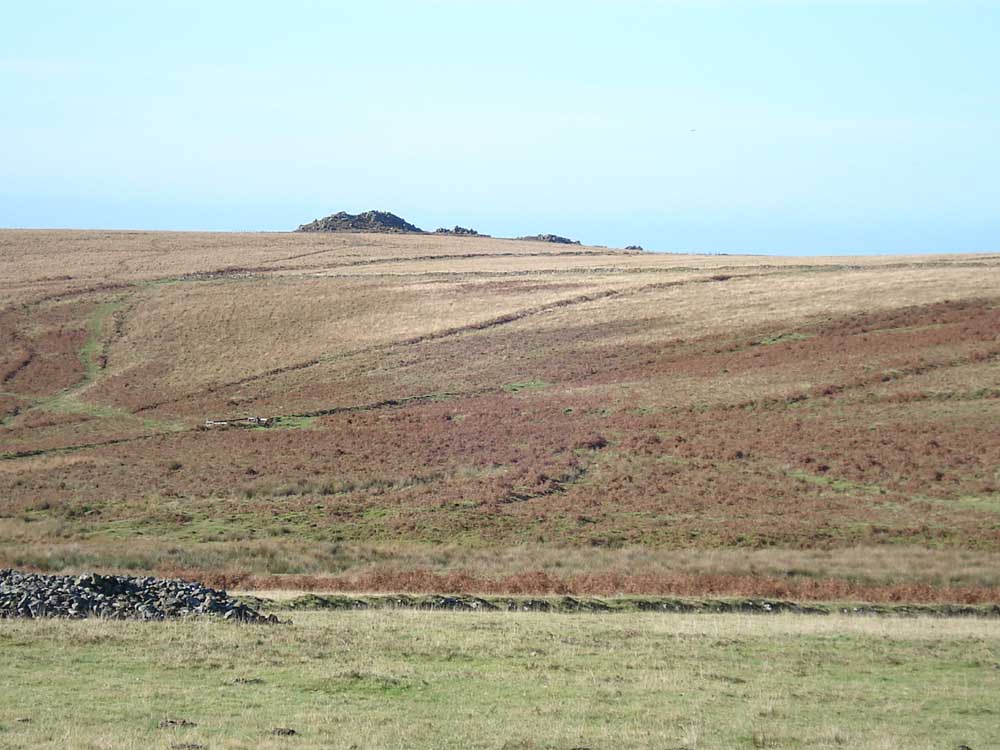
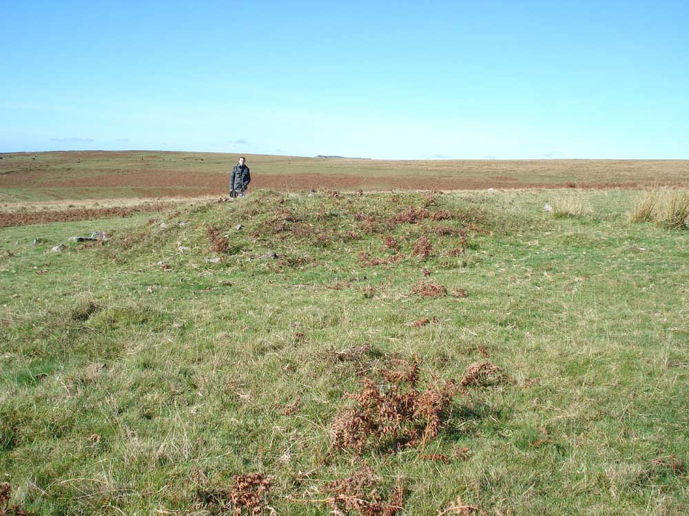
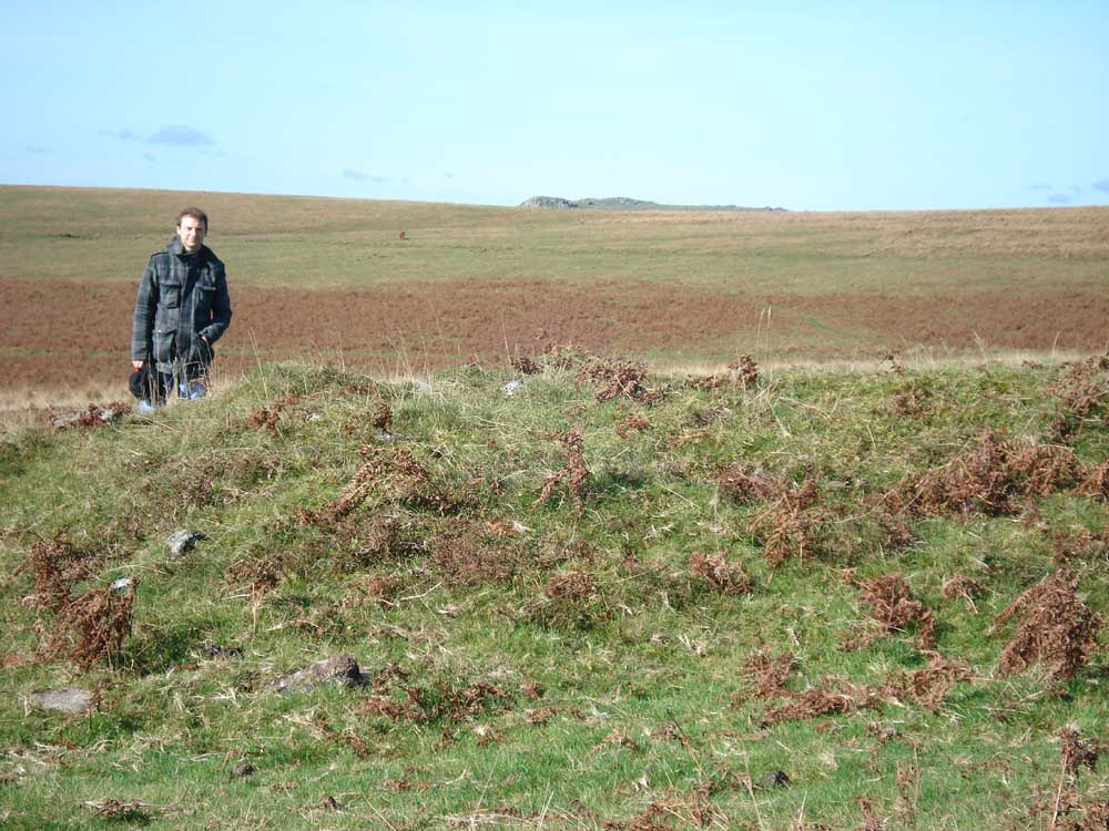
Legis Tor, SX 57110 65578, elevation 310 metres (1017 feet) from the track to Ditsworthy Warren House.
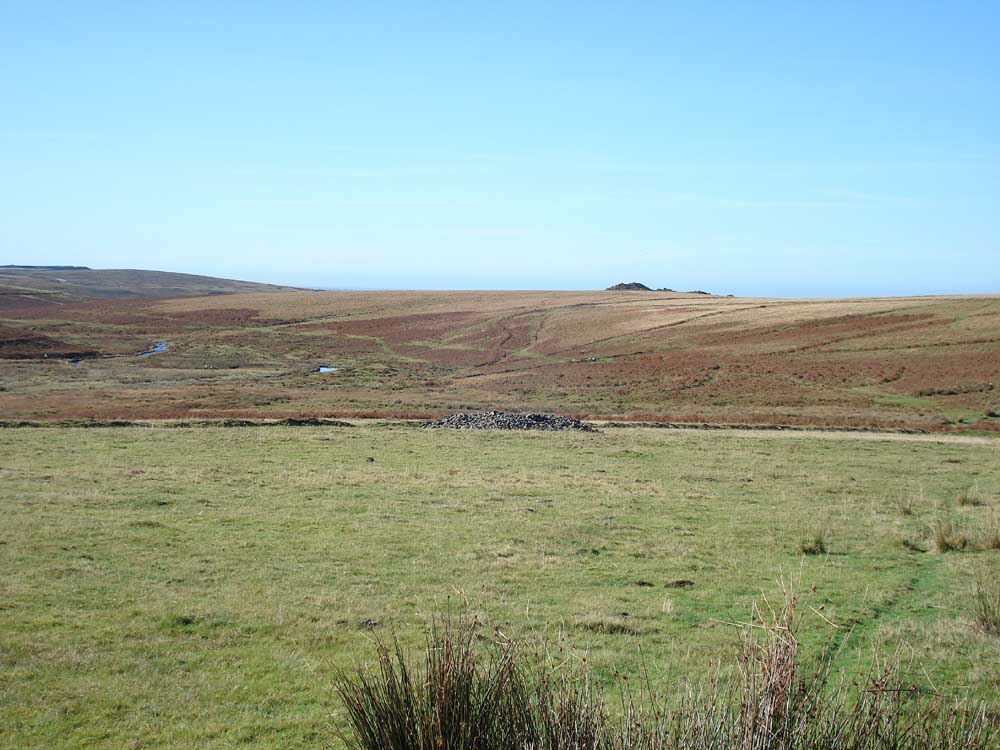
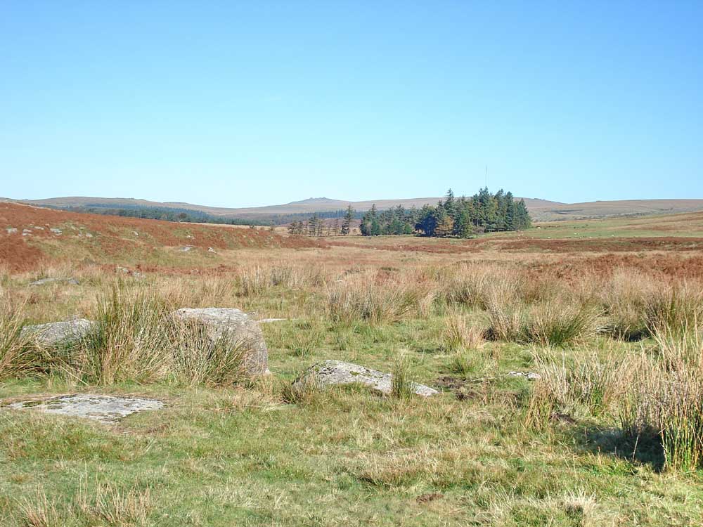
Looking down the Plym valley with Legis Tor to the right.
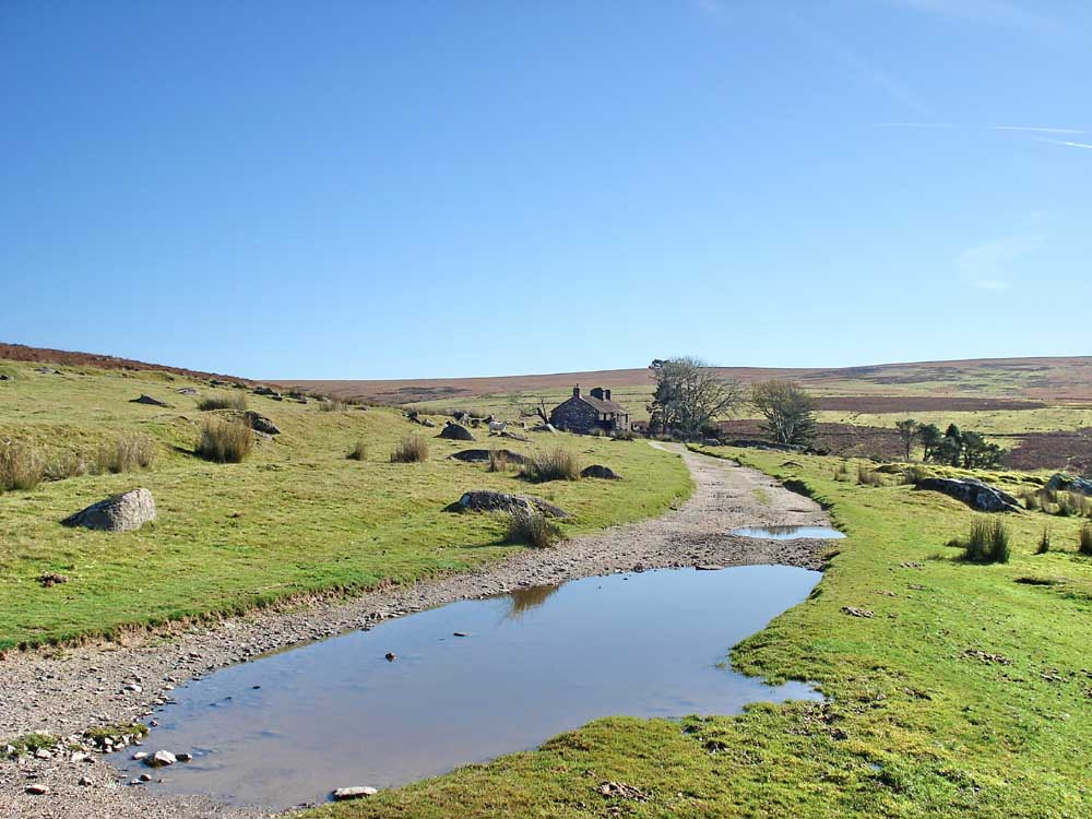
Approaching Ditsworthy Warren House.
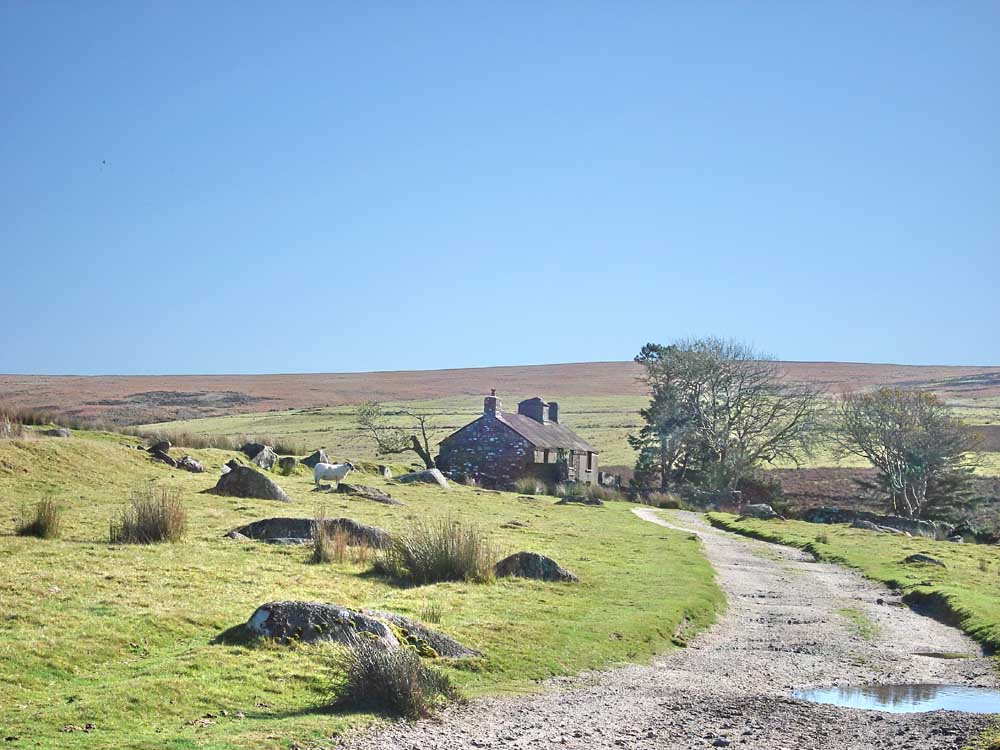
..... as previous photo .....
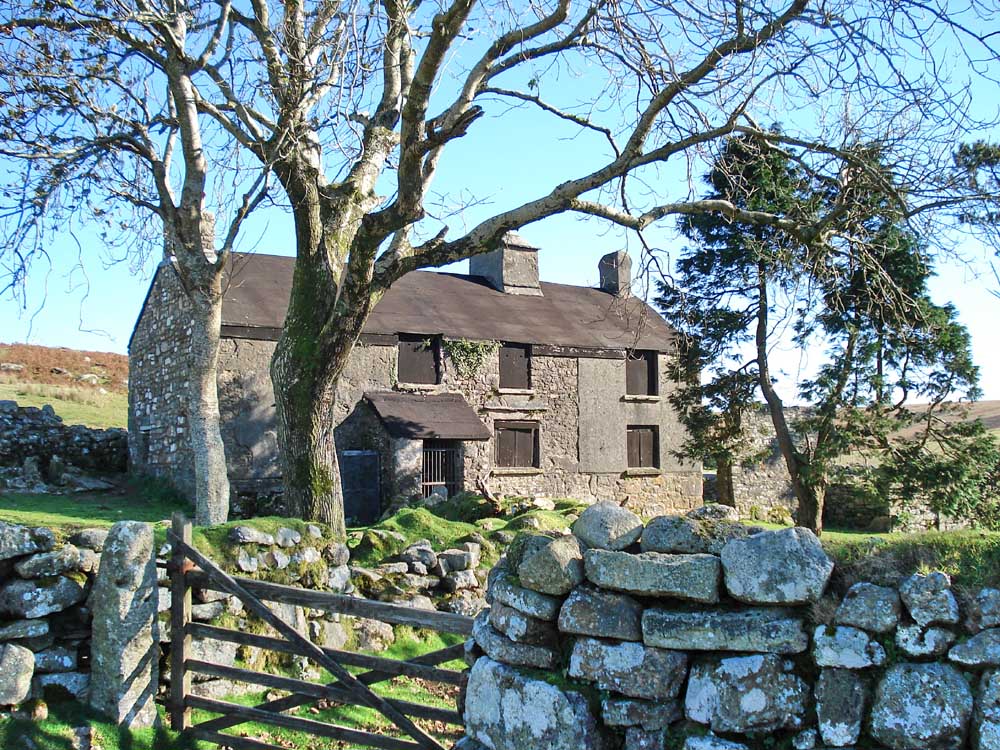
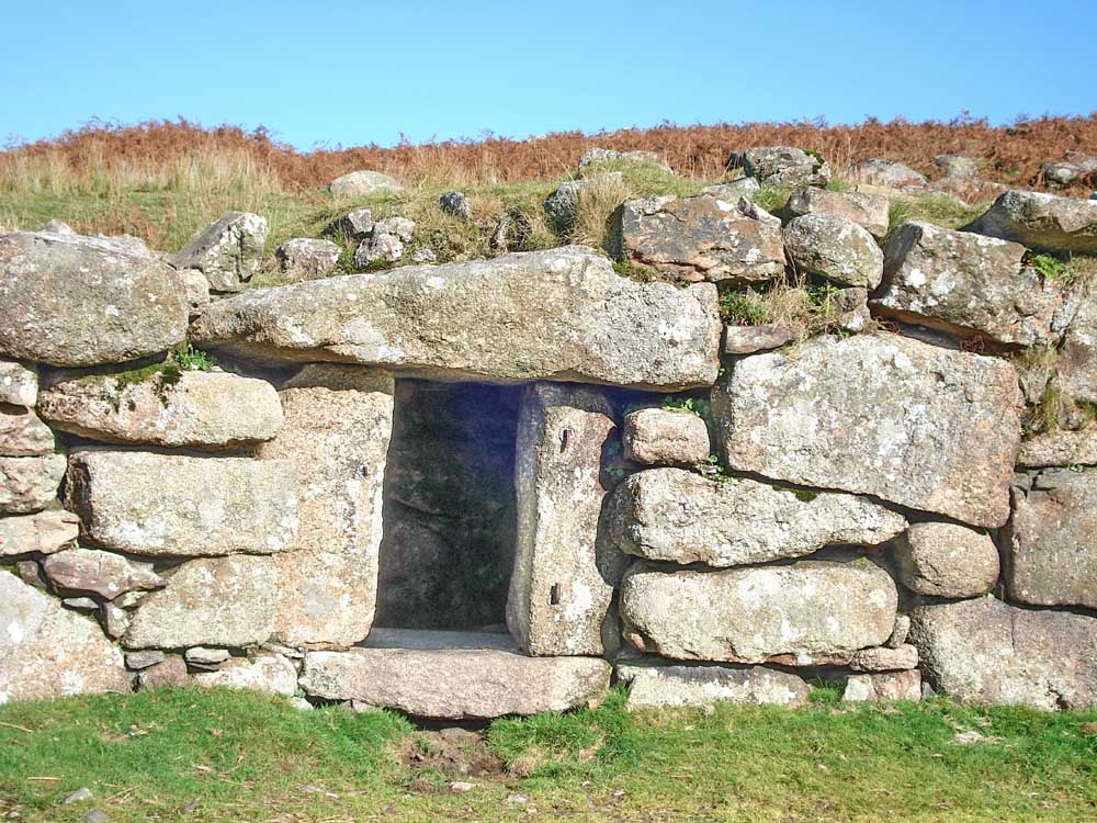
Ditsworthy Warren House, now boarded-up.
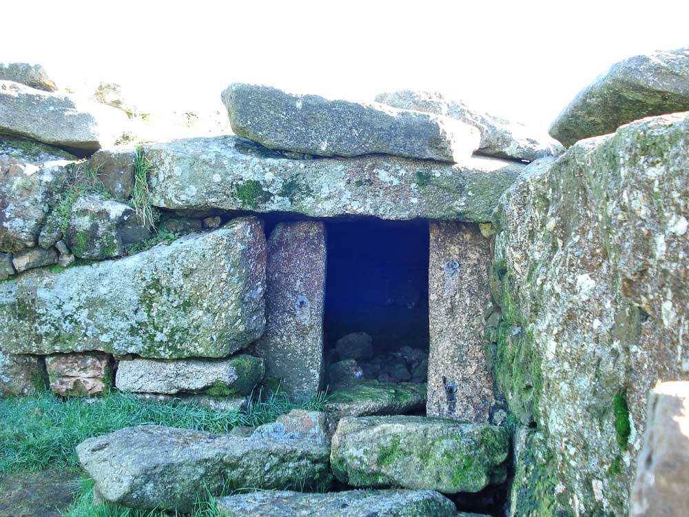
Dog kennel #1, in the enclosure immediately adjacent to the house.
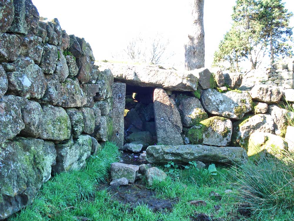
Dog kennel #2.
Dog kennel #3.
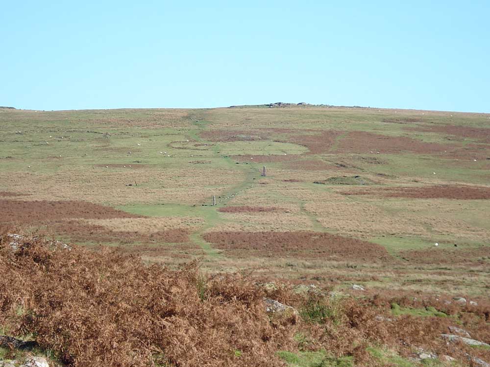
First view of the Drizzlecombe stone rows.
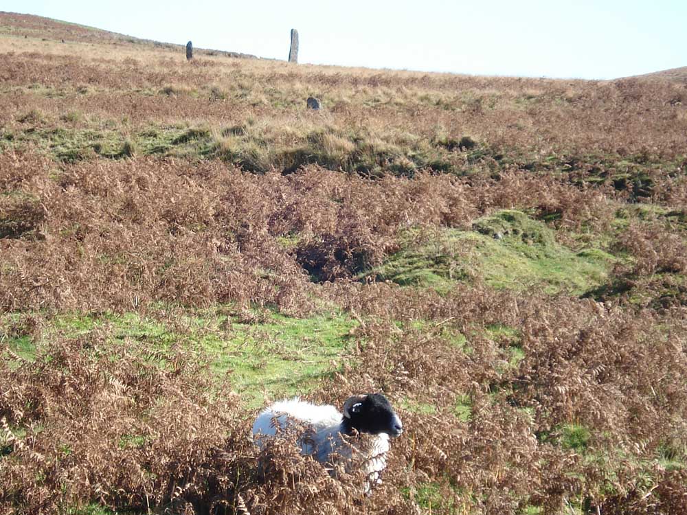
Two standing stones at approx. SX 59015 66878 (taken afterwards from Memory Map).
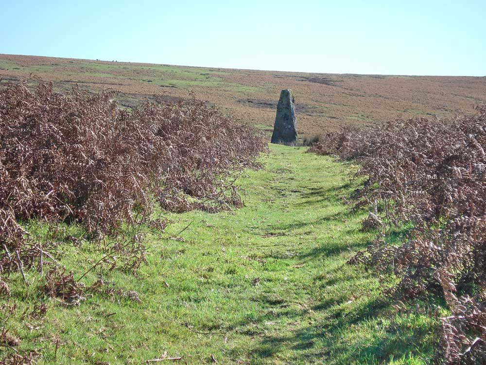
Approaching the first row from Ditsworthy .....
The first row, with the second row behind. The third row is left of the second row but not visible on this photograph.
Simlar to previous but showing the Giant's Basin cairn on the right.
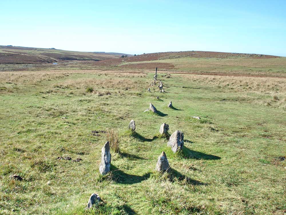
Section of the first row - a double row.
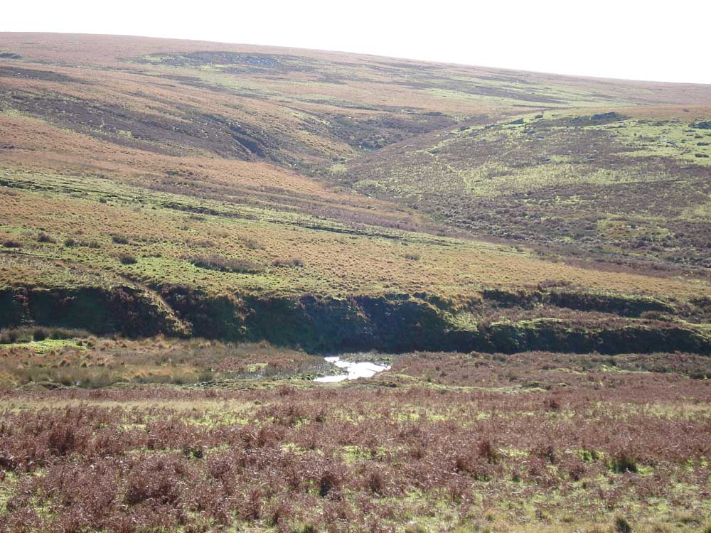
Looking across the shining River plym up the valley of Shavercombe Brook towards Shavercombe Falls.
The second row .....
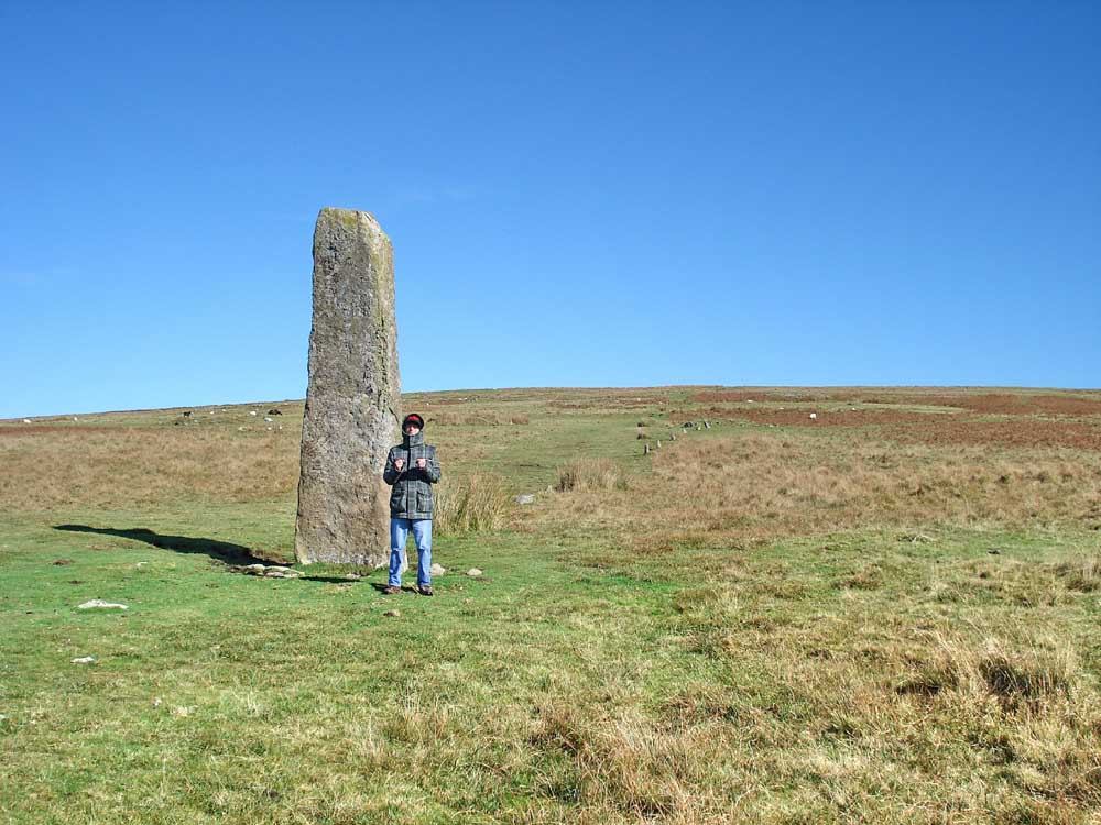
..... with son .....
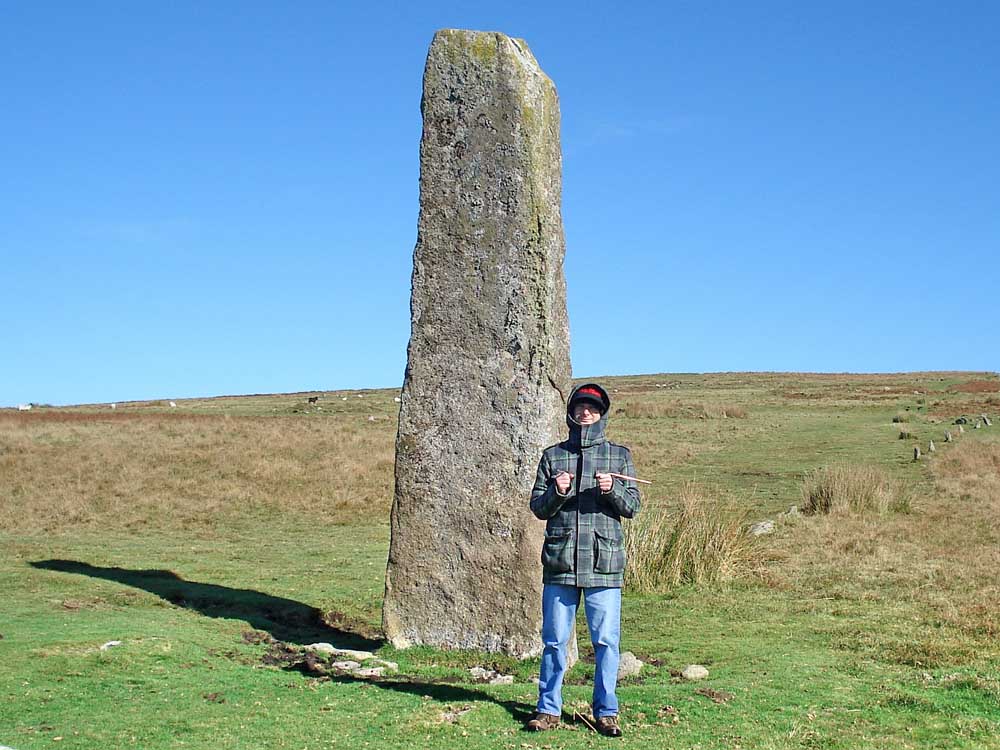
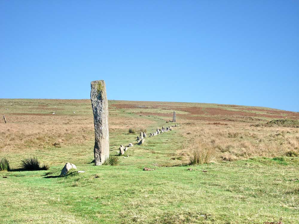
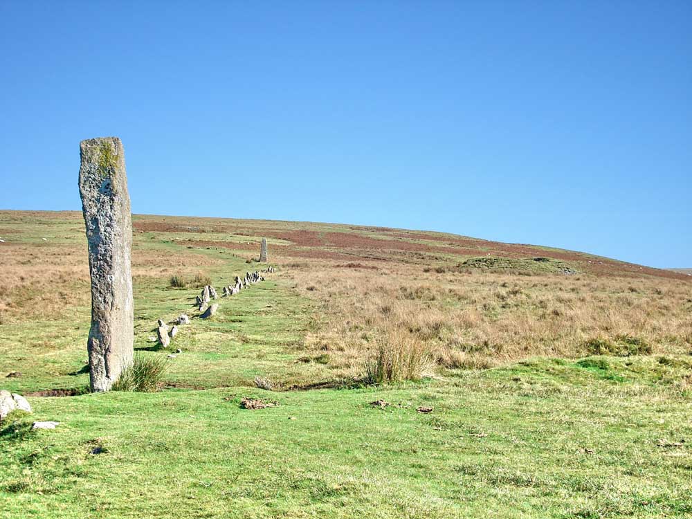
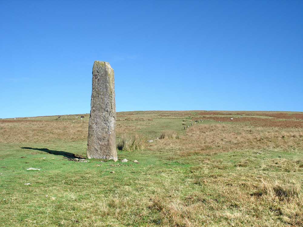
The tallest standing stone on Dartmoor - a menhir (4.3 m high) at SX 59211 67003 . A stone row runs back from the standing stone to a terminal cairn - see previous walk: 12th June 2008.
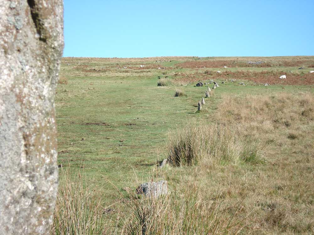
A view up the second row to the terminal cairn.
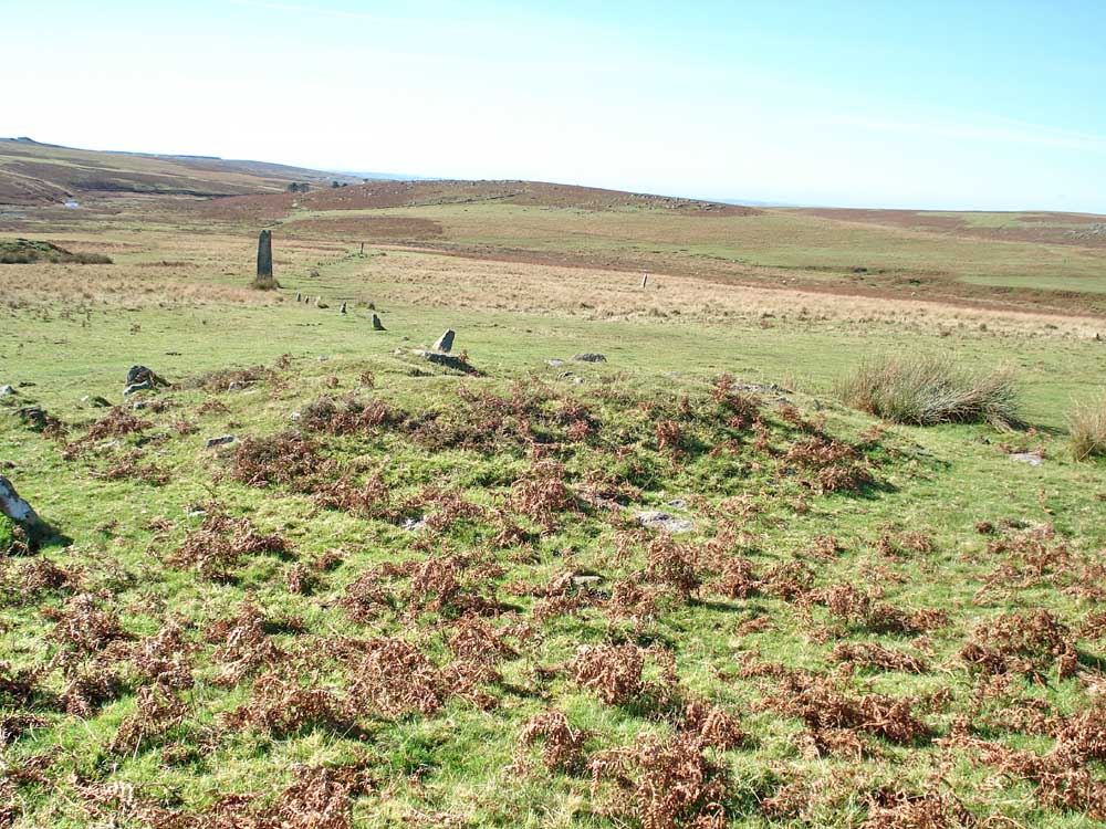
View from the cairn at the and of the second row. the third row is to the right.
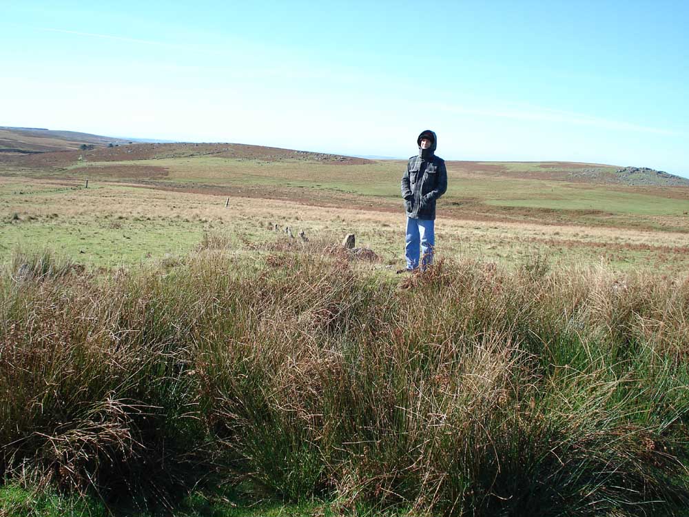
Matthew on the third cairn at the end of the second and third rows with the third row behind.

A view of the three cairns with Matthew on the far, third, one.
The third cairn.
..... ditto, with Sheep's Tor in the distance.
Dartmoor CAM movie.
TIPS .....
|
|
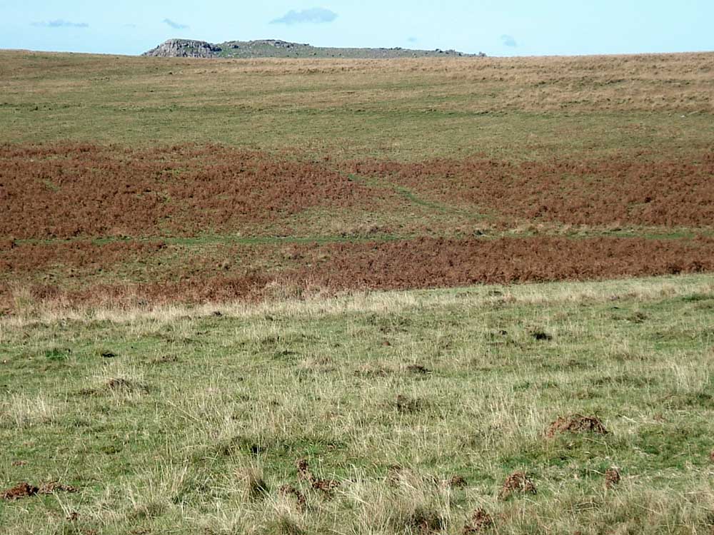
Gutter Tor again.
Sheep's Tor, seen over the hill leading up towards Eylesbarrow.
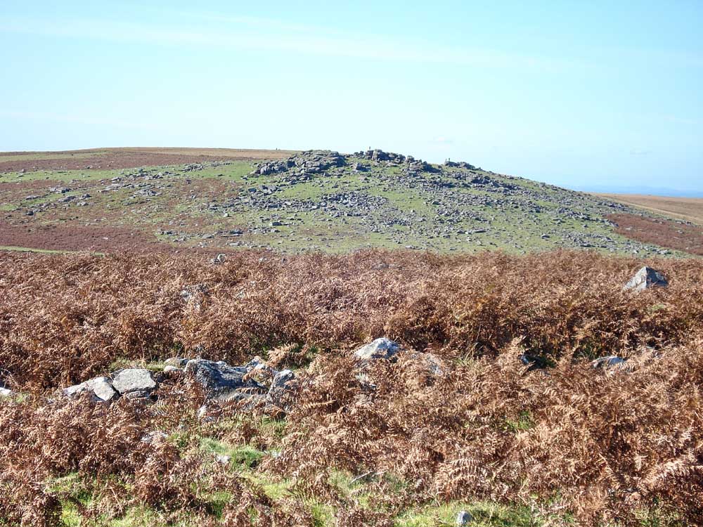
Another view of Gutter Tor, with three people standing on the top.
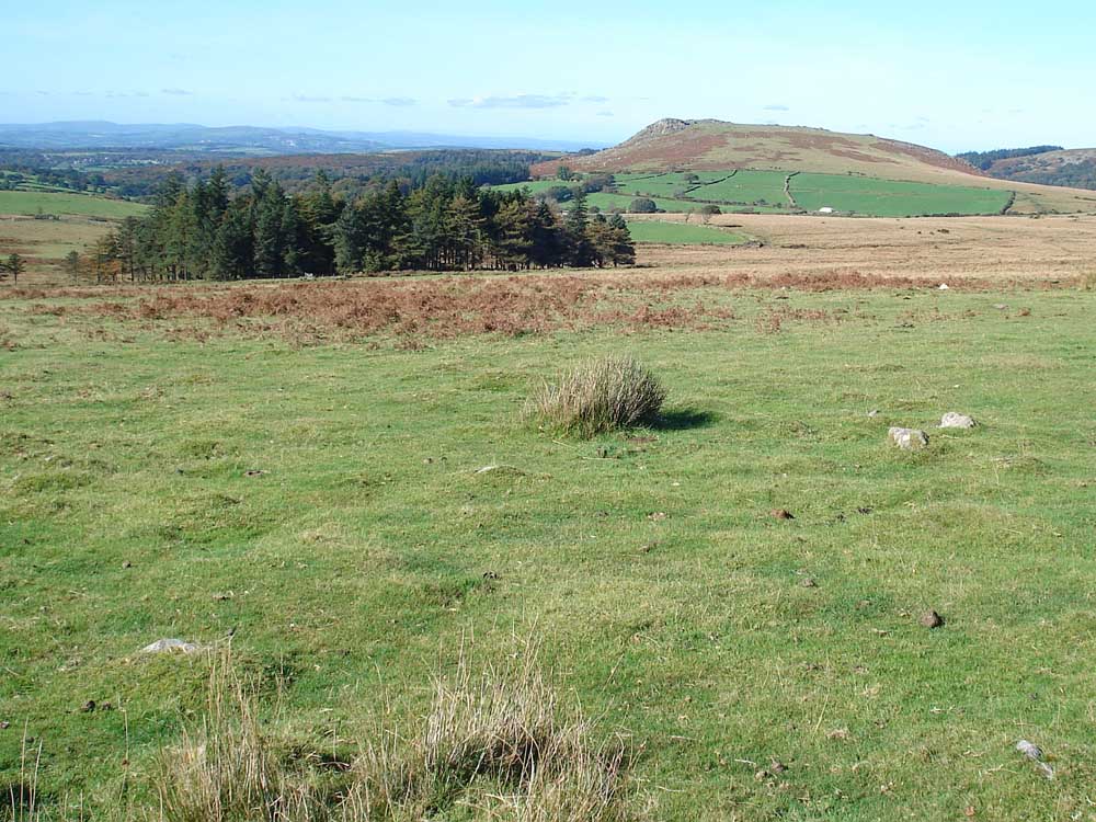
The Scout Hut (in the trees) with Sheep's Tor to the right.
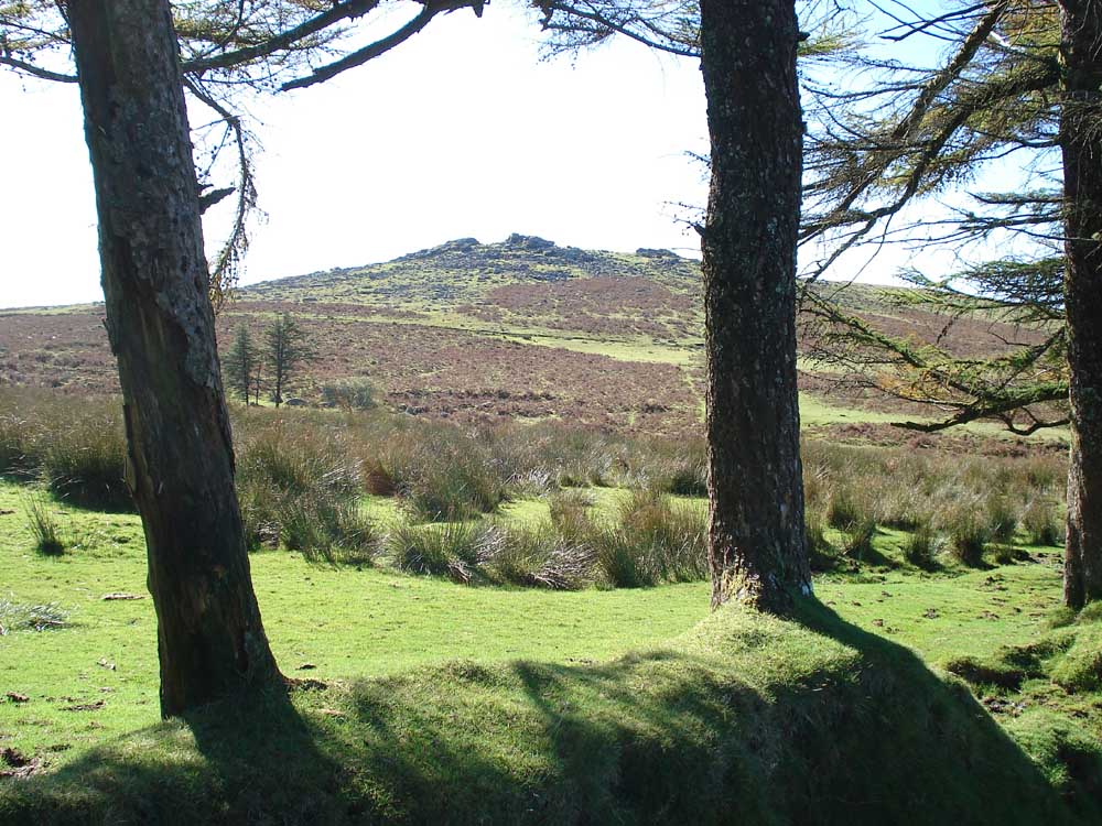
A framed view of Gutter Tor.
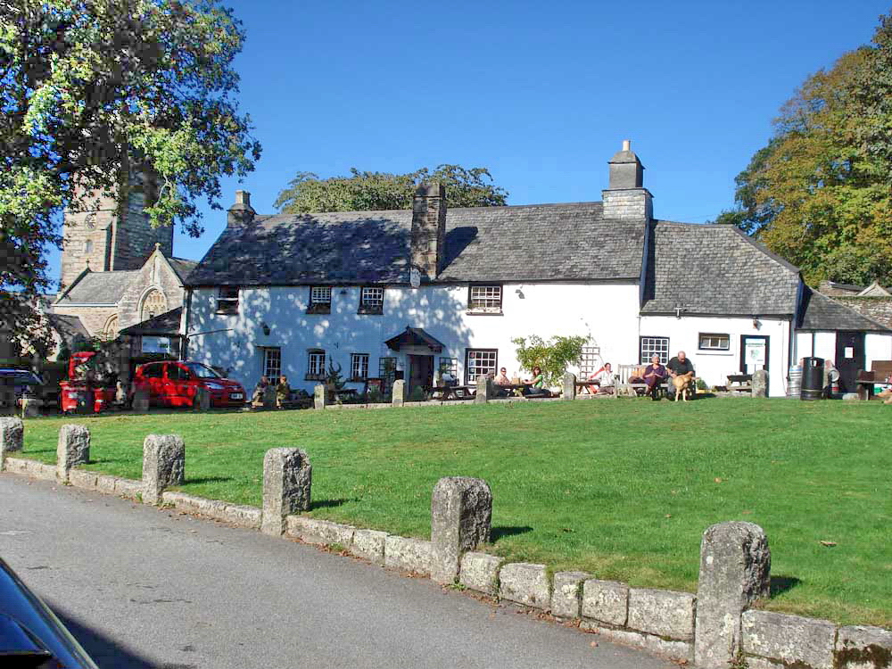
The Royal Oak, Meavy - we had a very good lunch outside!
MAP: Red = GPS satellite track of the walk - the route walked.
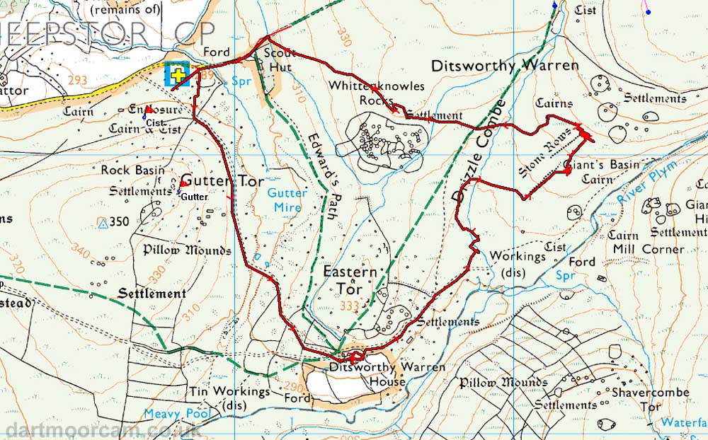
Ordnance Survey © Crown copyright 2005. All rights reserved. Licence number
100047373.
Also, Copyright © 2005, Memory-Map Europe, with permission.
The walk can be accessed via Yelverton, Dousland, across Burrator Dam, through Sheepstor village, driving east to the scout hut, parking nearby at the P symbol/yellow cross on the map.
Statistics
Distance - 5.48 km / 3.41 miles.
All photographs on this web site are copyright ©2007-2016 Keith Ryan.