![]()


This walk: 2009-12-9. Venford Reservoir, dam, leat, Medieval field system, Dart Valley, Bench Tor, Sharp Tor, charcoal burner's platform, witch's brooms, water pipe, wind-shaped Rowan, bracket fungus, lichen.
Walk details below - Information about the route etc.

Part of the new spillway completed earlier this year (2009) .....
"DON'T DO IT!" .....

..... View of the water treatment buildings below the dam.
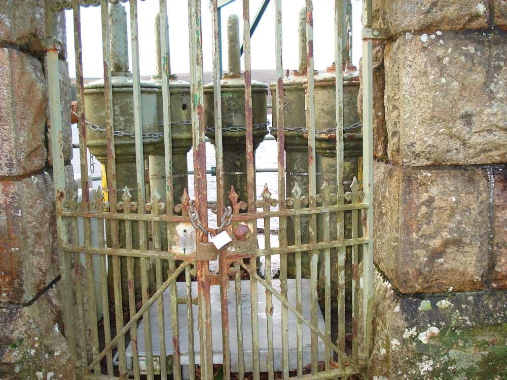
Probable original wrought iron gate and pipeworks from 1907.

Looking back across the dam in a north-westerly direction, showing the overflow with the car park in the background.
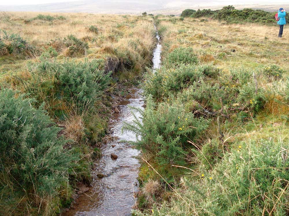
The potwater leat which supplies the Stoke farms (water is from the Holne Town Gutter high up on Holne Lee to the south, regulated by a bullseye stone).
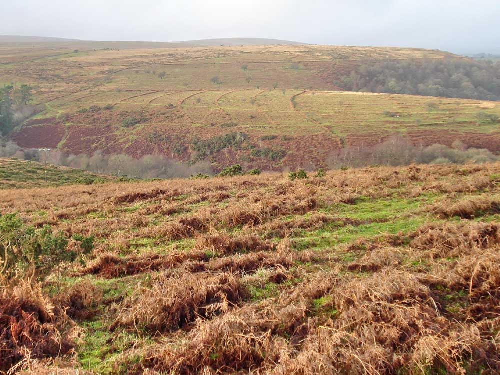
Medieval field system, just north of the car park - see this secret image where the arrow marks the car park.

Looking across to the other side of the Dart Valley, Hockingstone Tor, with a lonely silver birch tree.
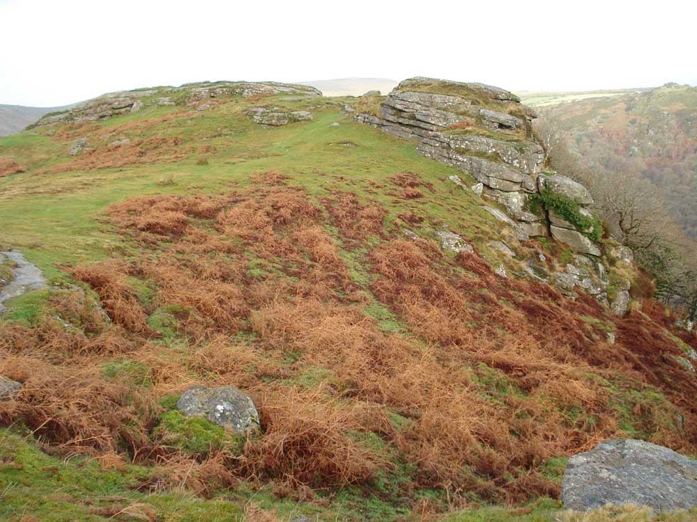
One of the outcrops on Bench Tor (also Benjy Tor).
Mel Tor (346 metres / 1135 feet) on the other side of the valley, north of Bench Tor .....

Lichen on what is probably an ancient dwarf oak � it certainly wouldn�t look out of place in Wistman�s Wood� .....

..... zoomed view of moss and lichen covering the tree branches.
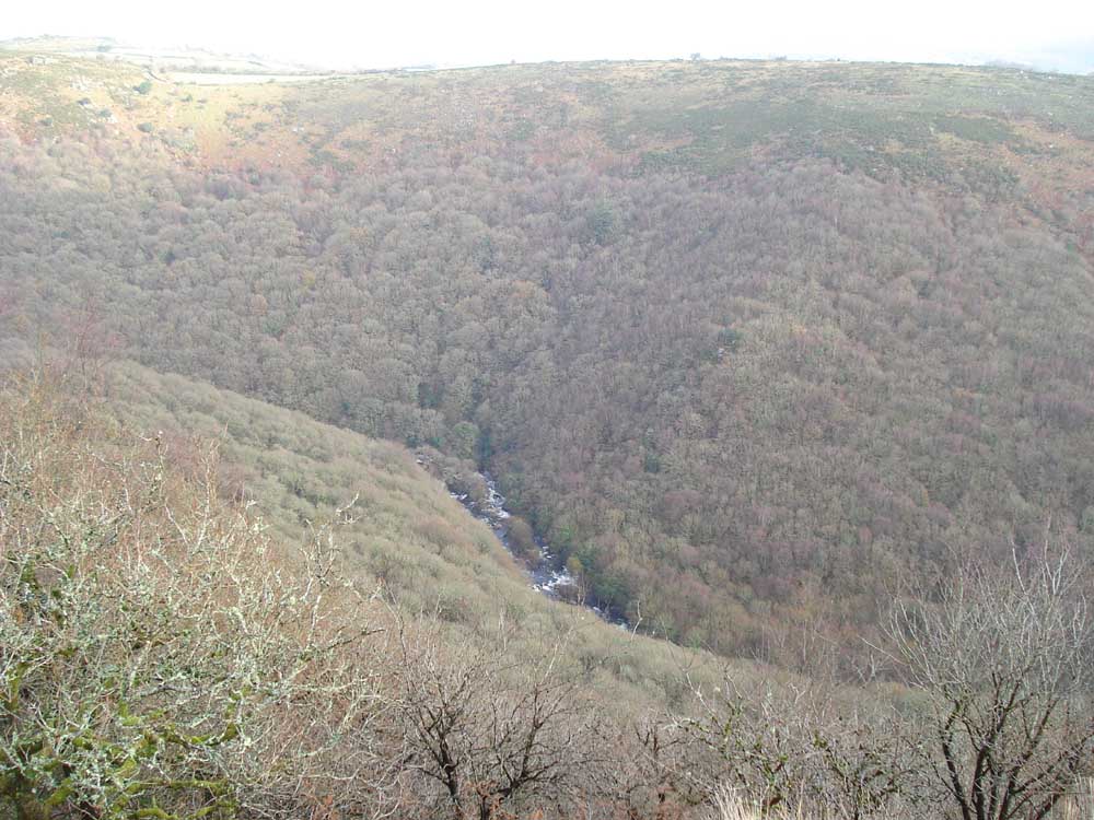
A view of the Dart River, this being the combined East and West Dart rivers .....

..... zoomed view.

Another view of the sun highlighting the Medieval fields.
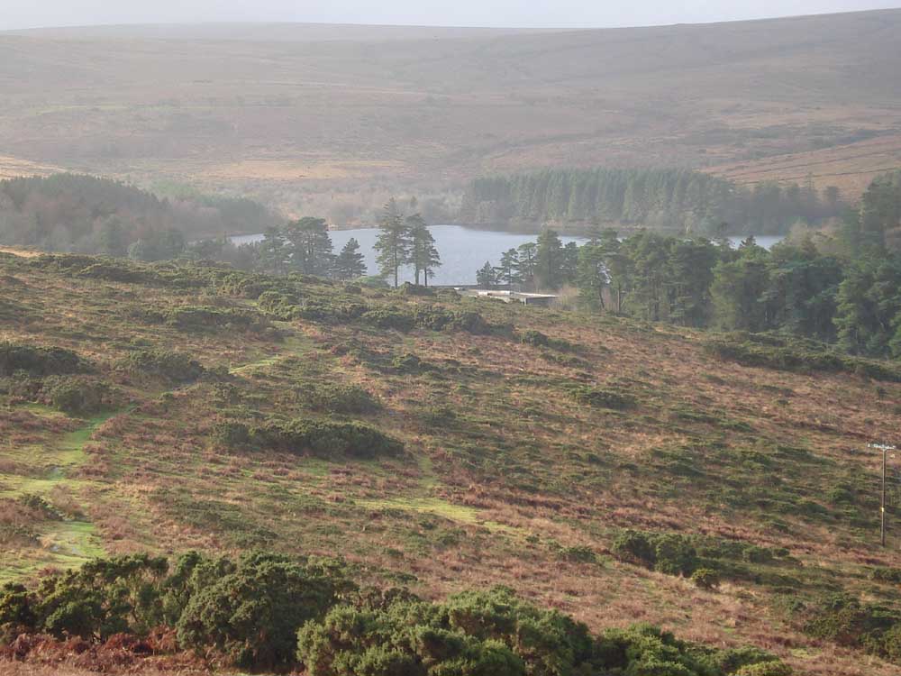
Looking back at the reservoir, Ryders Hill (515 metres / 1788 feet) on the horizon.
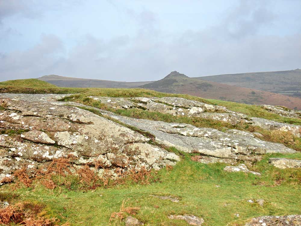
Looking over a Bench Tor outcrop to Sharp Tor at SX 686 729, elevation 380 metres (1246 feet) with Yar Tor (418 metres / 1371 feet) on the left.

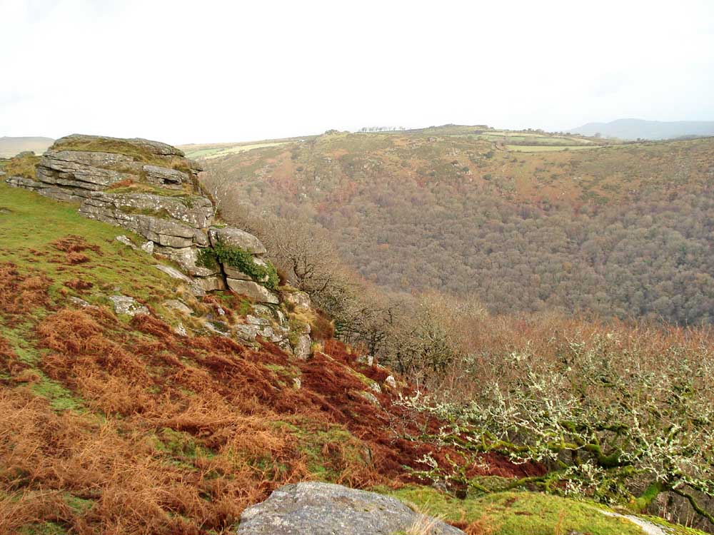
Looking down in to White Wood from an outcrop on Bench Tor.
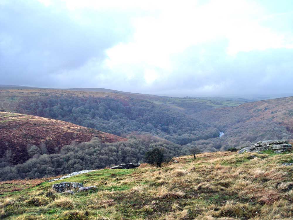
View westwards up the river, Coombestone Tor in the middle distance.
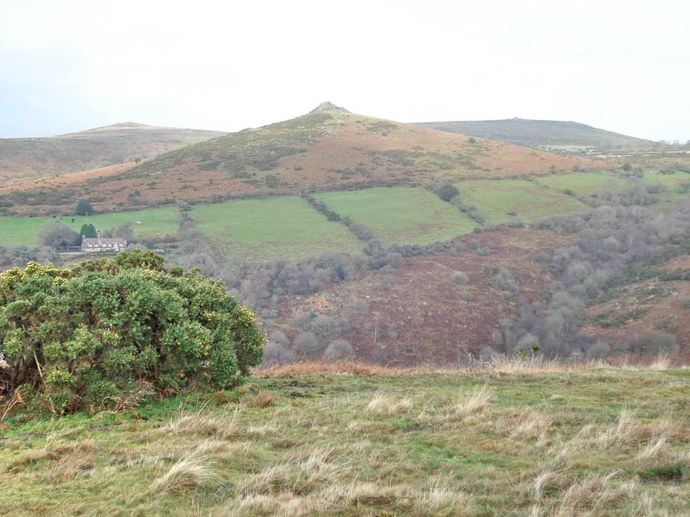
Sharp Tor, with Rowbrook House (left).
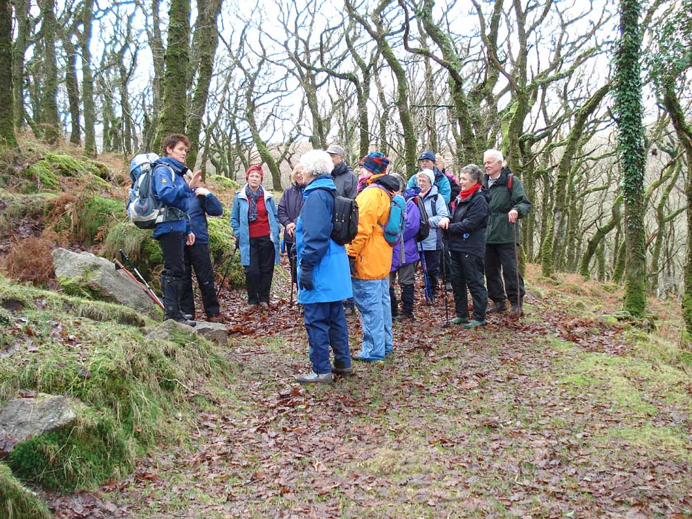
Oh no, not another lecture about the activities of the wood, charcoal burners etc.. At least it�s not boulders this time!
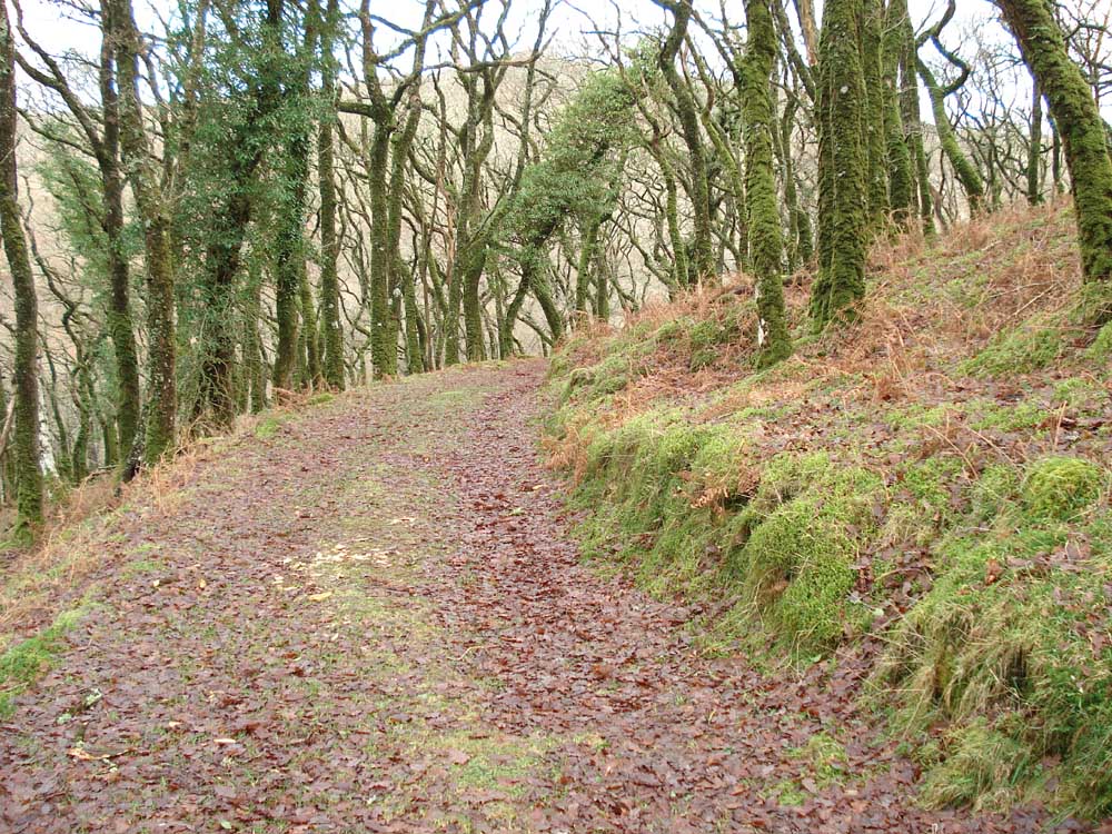
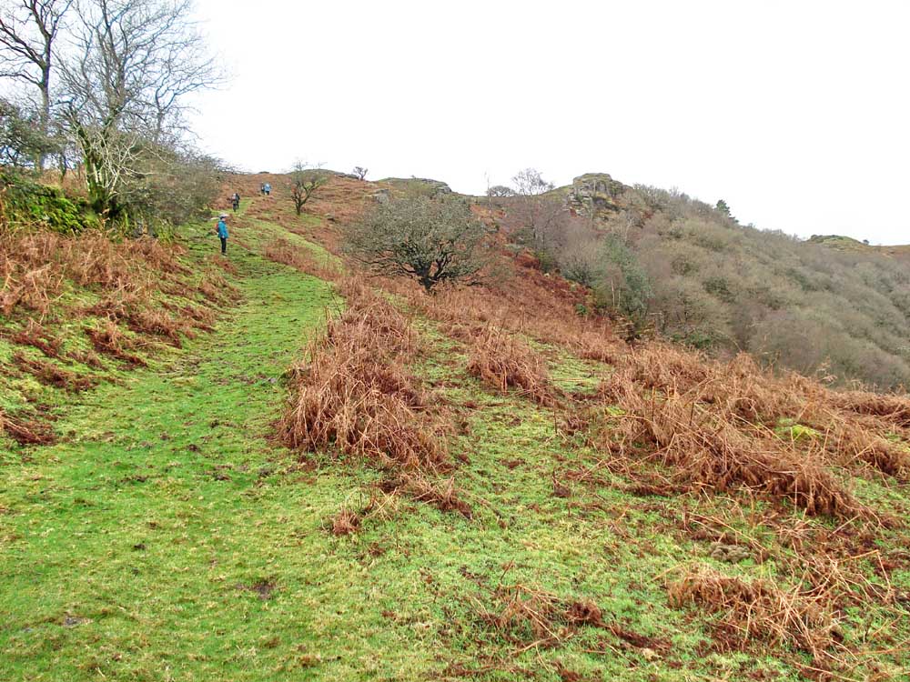
The path ahead - a well built track formed by the pipe from the reservoir, embanked in many places.

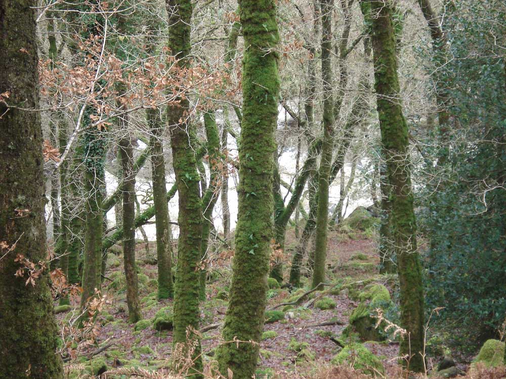
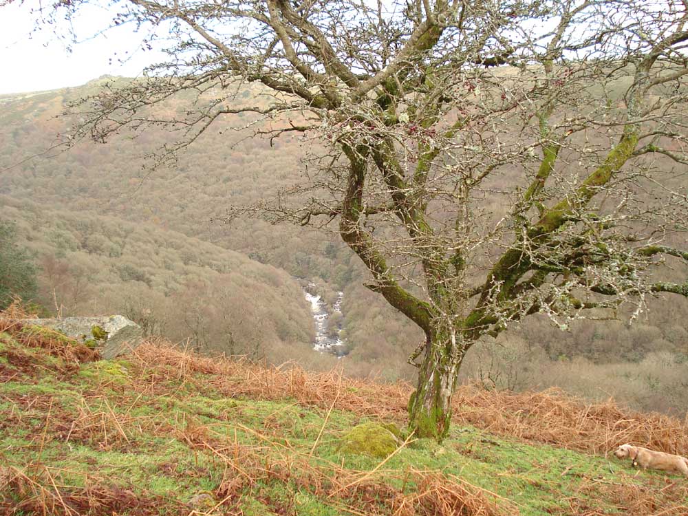
Looking down through the predominantly oak woodland to the Dart.

Flat platform which was built by the charcoal burners. A charcoal burning hearth would have been sited here. Charcoal was a valuable commodity in this coal-less county. Note for Rosie � they were referred to as Colliers in other parts of the country, not sure about down here.
White water (River Dart) through the trees.
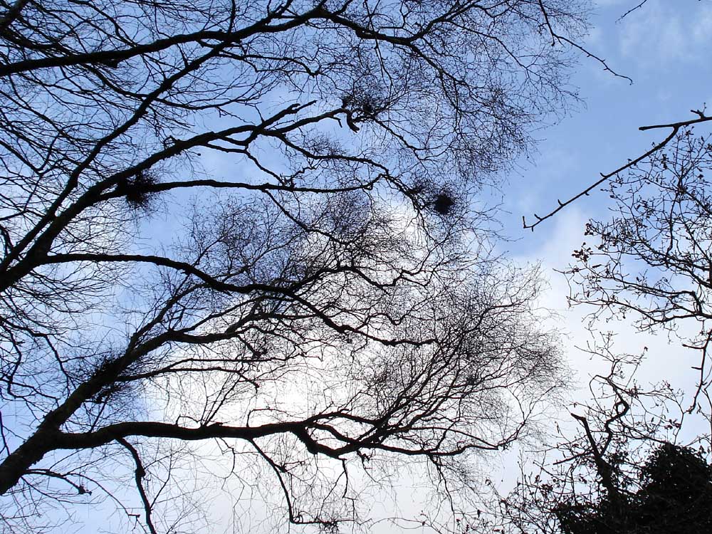
Witch's Brooms ..... (or mistletoe!!??).
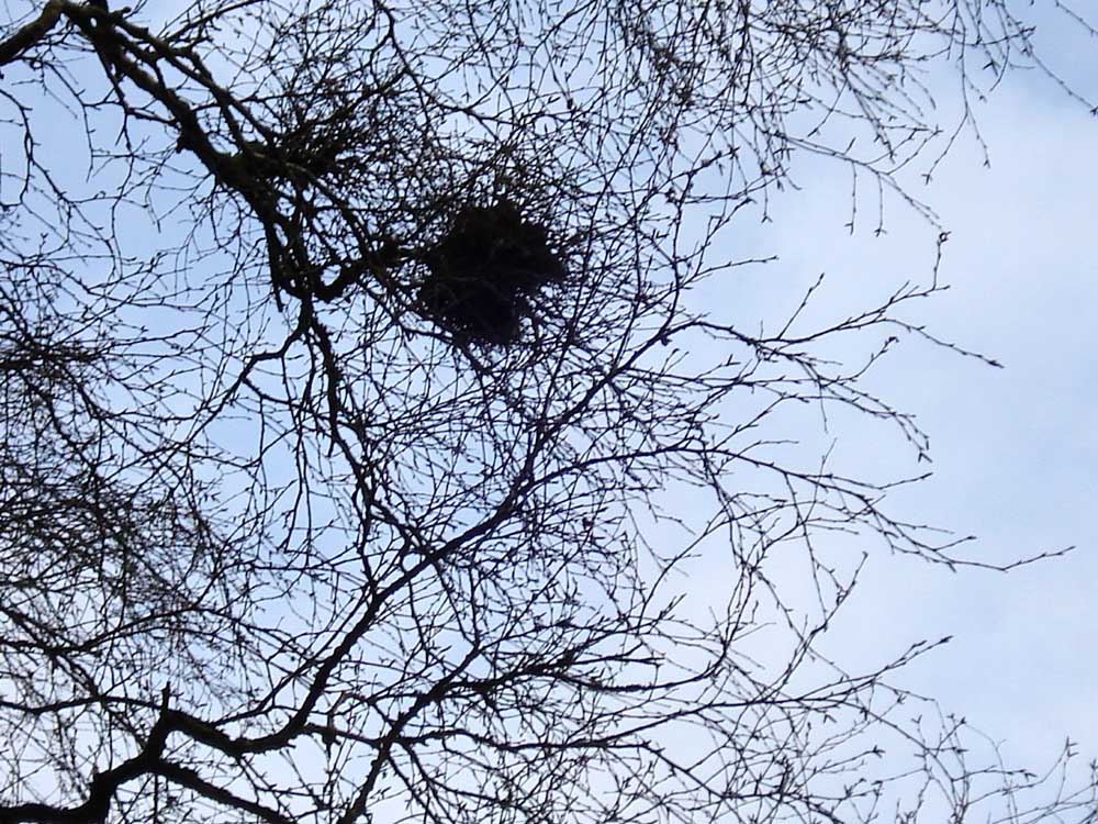
..... zoomed view - the camera flash didn't do much here!
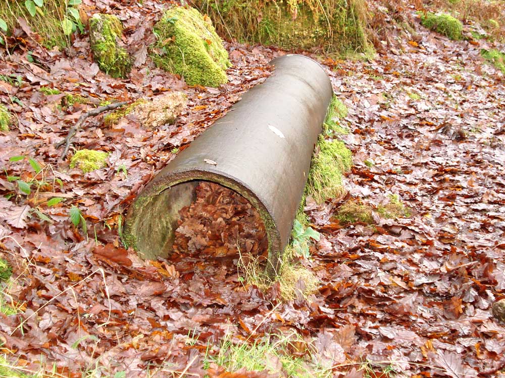
A section of the pipe that is buried under the path we walked along.
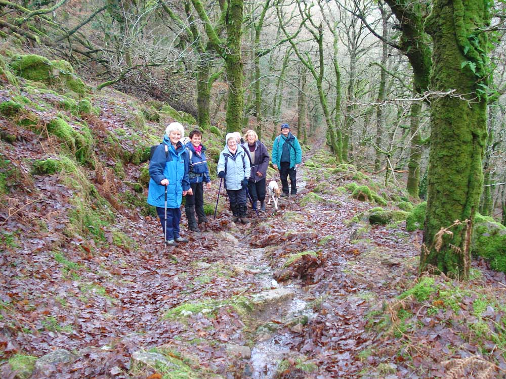
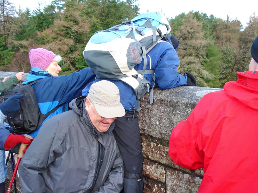
A smiling group - puffing up the steep incline!
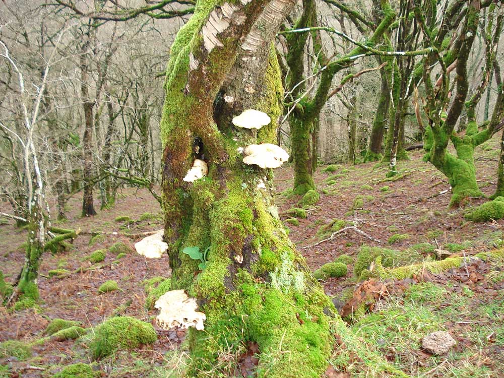
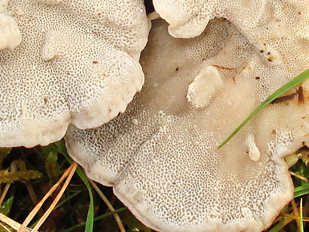
Bracket fungi on an old oak tree.

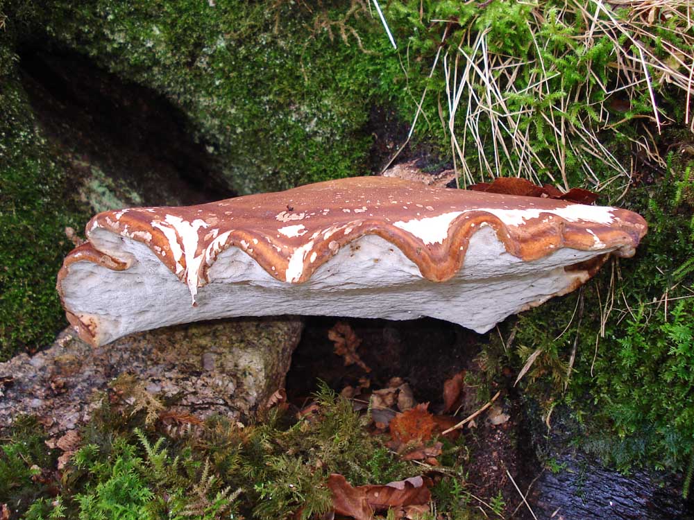
The fungus at the base of the tree, around the back, that I risked life and limb for! More ......
 |
 |
 |
For fungus lovers - click on these photos to see large versions of them.
Comeuppence Hill - the price to be paid for going down into the valley!
Back down into the Dart valley ......

..... zoomed.

A wind-shaped Rowan tree.

Dry stone walling.

A lichen found on a burnt piece of gorse(?) .....
..... in close-up.
Red = GPS satellite track of the walk.

Ordnance Survey © Crown copyright 2005. All rights reserved. Licence number
100047373.
Also, Copyright © 2005, Memory-Map Europe, with permission.
The walk can be accessed either from the Huccaby (near Dartmeet) direction, passing Combestone Tor, or from the Holne direction from Ashburton. The car park P symbol with the yellow cross on the map has toilets.
Statistics
Distance - 4.70 km / 2.92 miles.
All photographs on this web site are copyright ©2007-2016 Keith Ryan.
All rights reserved - please email for permissions