![]()


This walk: 2009-2-11. Smeardon Down, Boulters Tor, Twyste Farm, slotted granite gate post, sheep creep, granite roller, Setters Tor, Bronze age settlement with round houses/hut circles below White tor, clapper bridge over Broadmoor Brook.
Walk details below - Information about the route etc.
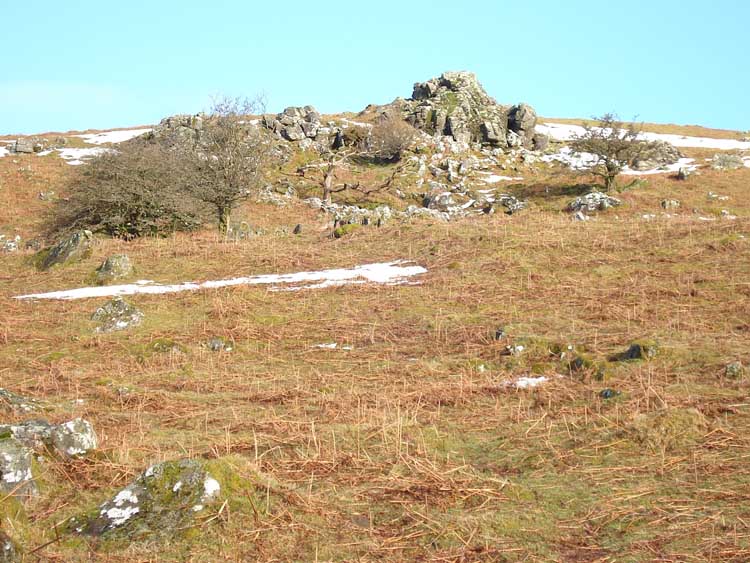
Boulters Tor (SX 52495 78071).
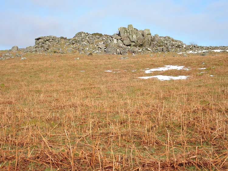
Another view of Boulters Tor.
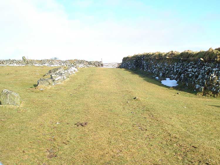
The track, Twyste Lane, before entering fields and reaching Twyste Farm.
Looking over Peter Tavy Coombe at Great Coombe Tor, rise of Sharp Tor at left.
Looking up at White Tor (Whit Tor) with Little Whit Tor on the left.
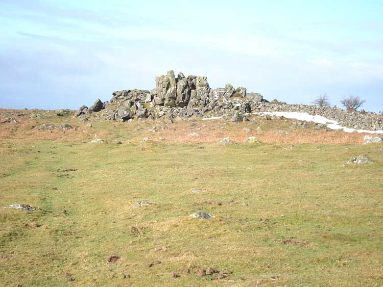
Its that tor again ..... Boulters Tor.
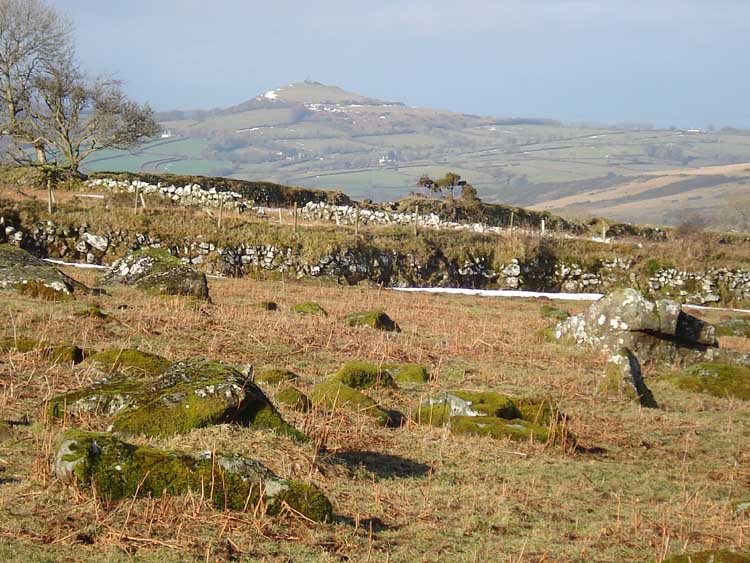
Setters Tor SX 5327 7798 (near Stephen's Grave), not named on the map, with Great Mis Tor at right.
A zoomed view of Staple Tor, against the sun, hence the flare.
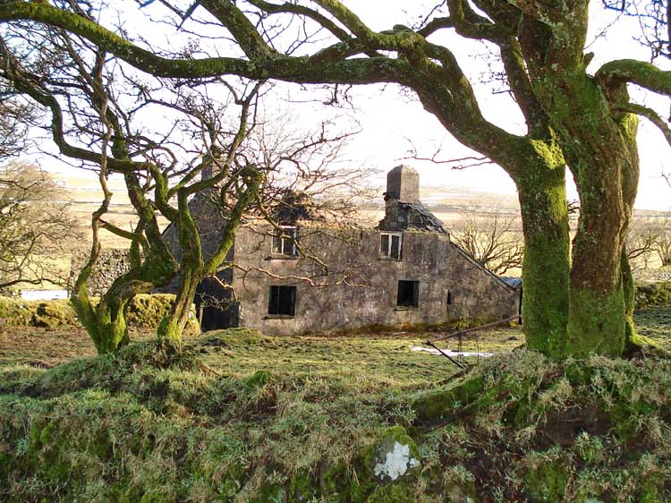
Twyste Farm, abandoned (SX 52770 78190).
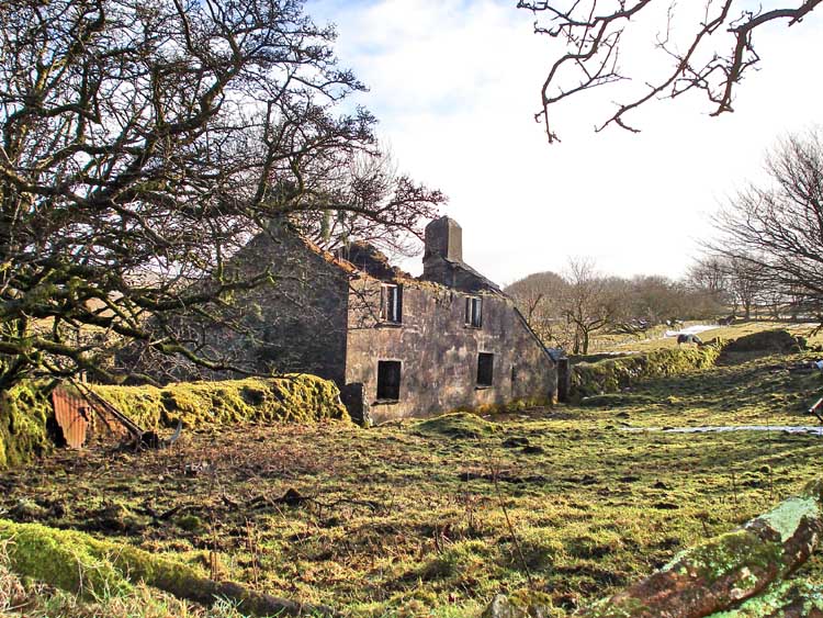
Twyste Farm.
Zoomed view north-east to Brent Tor.
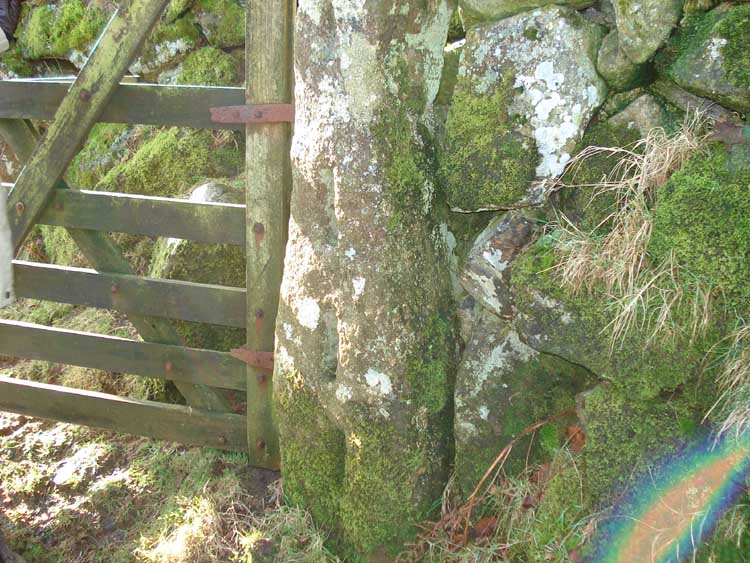
Slotted granite gate post.
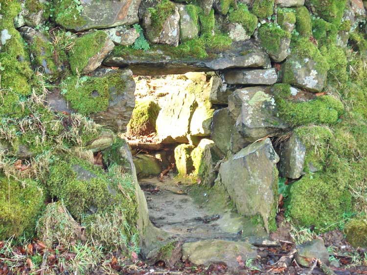
A "sheep creep", a hole through a hedge that the farmer can block/unblock as required to allow sheep to move between fields.
Ancient clapper bridge over Broadmoor Brook, at approx. SX 5326 7873.
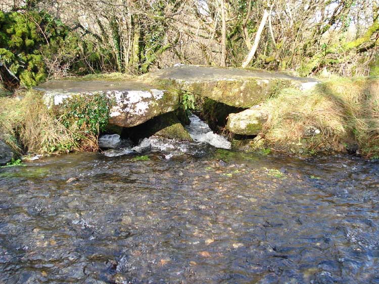
Looking through the foot bridge, the water fell quite a long way below the bridge.
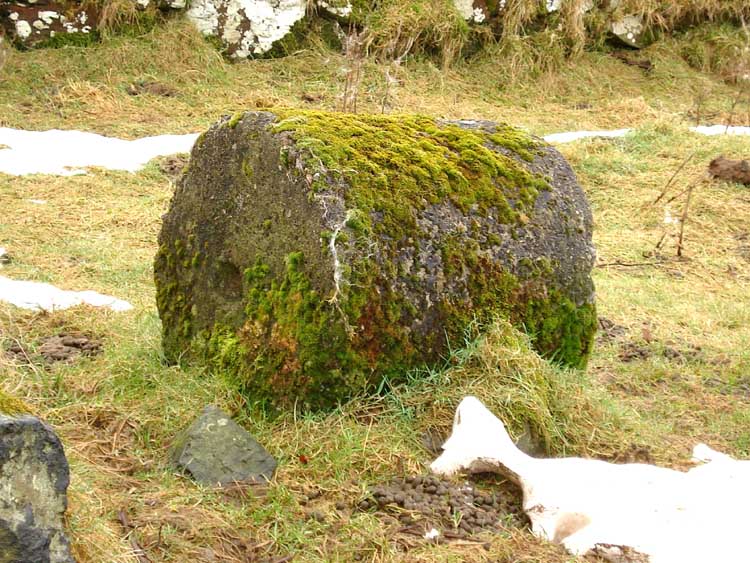
A granite roller seen en route, at the last gate onto the open moor.
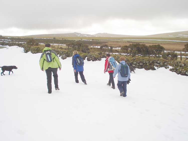
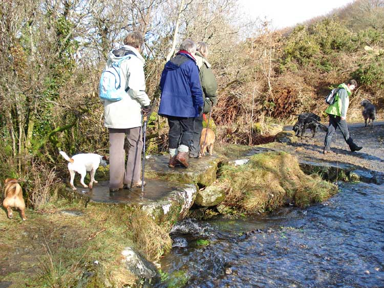
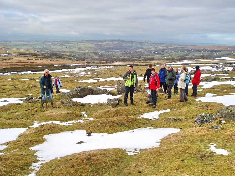
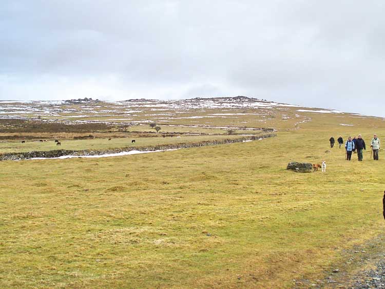
Intrepid Dartmoor walkers .....
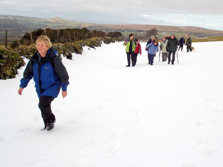
..... striding through the snow .....
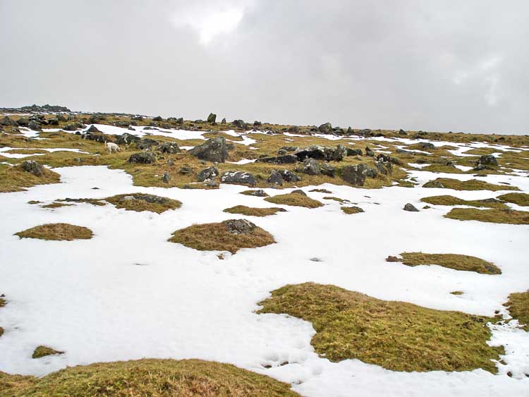
Looking up the slope towards a Bronze Age settlement at SX 536 785, with White tor up to the left (mostly out of the photo).
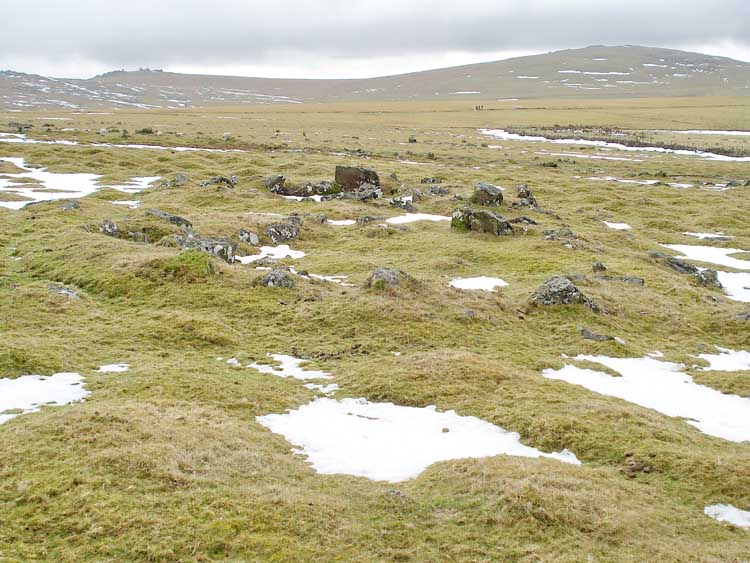
Looking southerly at two hut circles, with Cox Tor (right) and Great Staple Tor (left) in the distance.
Looking at a round house/hut circle in the enclosure.
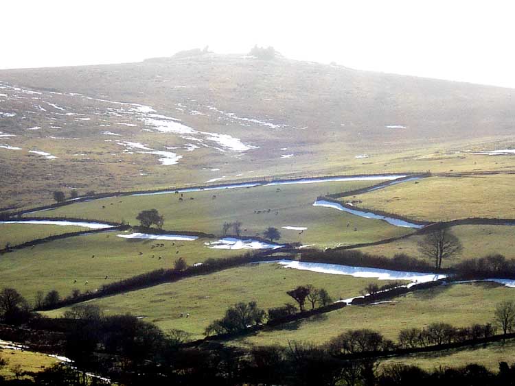
The three piles of White Tor � the one on the left is Little Whit Tor and the settlement is below it. The map shows a "Fort" on the top of the tor.
The red line is the route walked, as tracked by GPS/satellite.
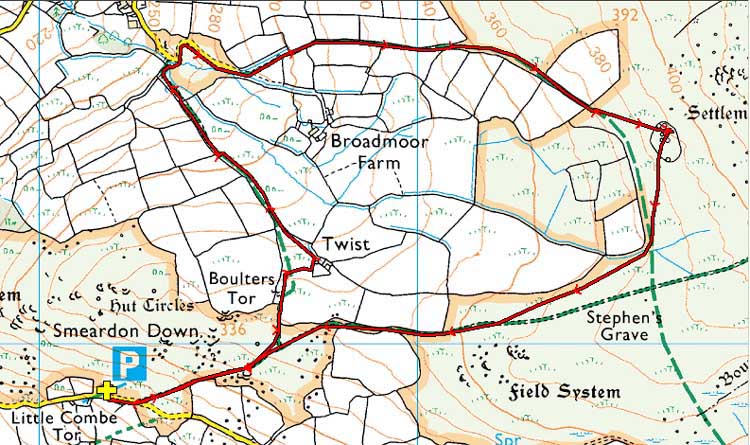
Reproduced from Dartmoor OS Explorer map 1:25 000 scale by
permission of Ordnance Survey
on behalf of The Controller of Her Majesty's
Stationery Office.
© Crown copyright. All rights reserved. Licence number 100047373.
Also, Copyright © 2005, Memory-Map Europe, with permission
Access was via Peter Tavy, driving up past the church and turning right. The road then becomes single track with parking in a small quarry, labelled P and marked by the yellow cross symbol on the map.
Statistics
Distance - 4.95 km / 3.08 miles.
Start 10.0 am, Finish 12.05 pm, Duration 2 hr 5 min.
Overall average 2.38 kph / 1.48 mph.
All photographs on this web site are copyright ©2007-2016 Keith Ryan.