


This walk: 2009-7-1. Yelverton, yellow flower, Harrowbeer airfield (site of), Plymouth-Tavistock railway, bomb-rolling platform, seat plaque (Wonnacott), Walkhampton, Higher Dittisham, Kilroy, Magpie viaduct, foxglove, Wheal Franco adit, bridge construction, wall stonework, National Cycle Route 27 (see previous walk). Finally, a special "Thank you" to Sue for hospitality afterwards.
Walk details below - Information about the route etc.
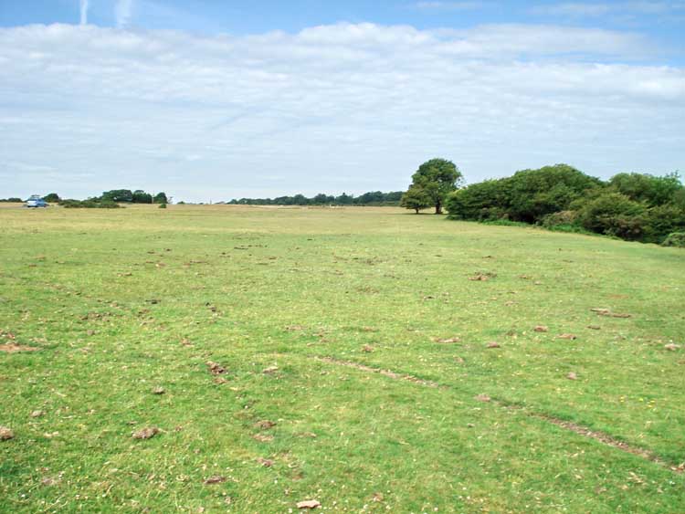
General view of Yelverton Down, this was the site of Harrowbeer Airfield during World War II.

Possibly Nipplewort? Jack-go-to-bed-at-noon / goats beard? See A Photo Flora of the Devon and Cornwall Peninsula.
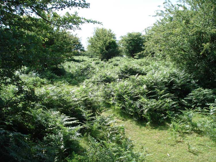
A general view of the landscape around these parts!
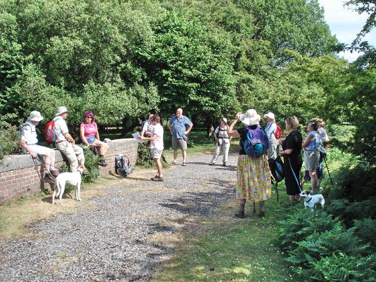
Moor Strollers at the site of the bomb rolling platform: this is the bomb store at the extreme NW of the airfield site (to minimise the impact if hit). Bombs were transported up from Horrabridge station and off-loaded from the platform onto racks and then stored.
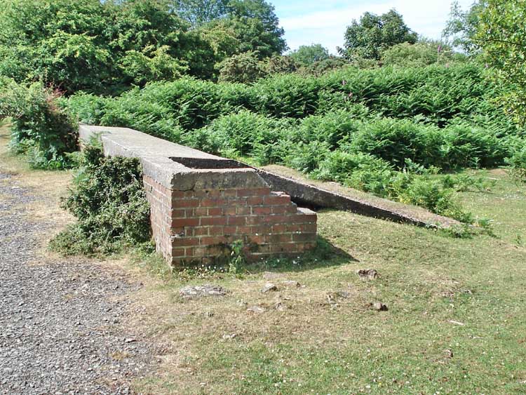
A better view .....
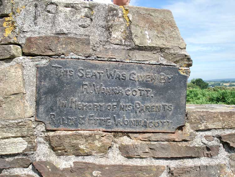
Plaque on a nearby seat - a solid construction that I omitted to photograph .....
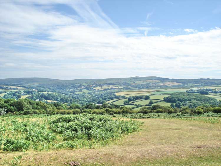
A view to Walkhampton .....
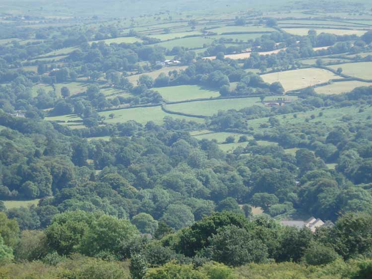
..... showing a zoomed view to Higher and Middle Dittisham.
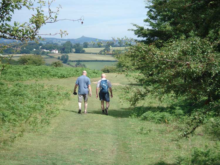
Me, Kilroy. Who you? Or, another Brent Tor pointer feature ..... Two intrepid moor walkers off in search of the Fertility butterfly - also known as the Fritillary (Dartmoor link).
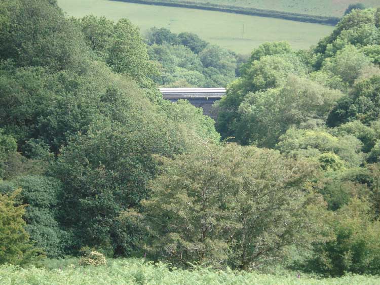
A glimpse of Magpie viaduct .....
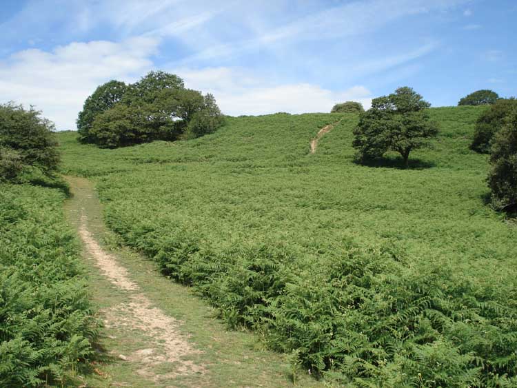
..... the long, winding path, under the hot sun.
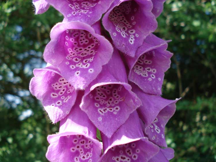
Digitalis purpurea, Common Foxlove.
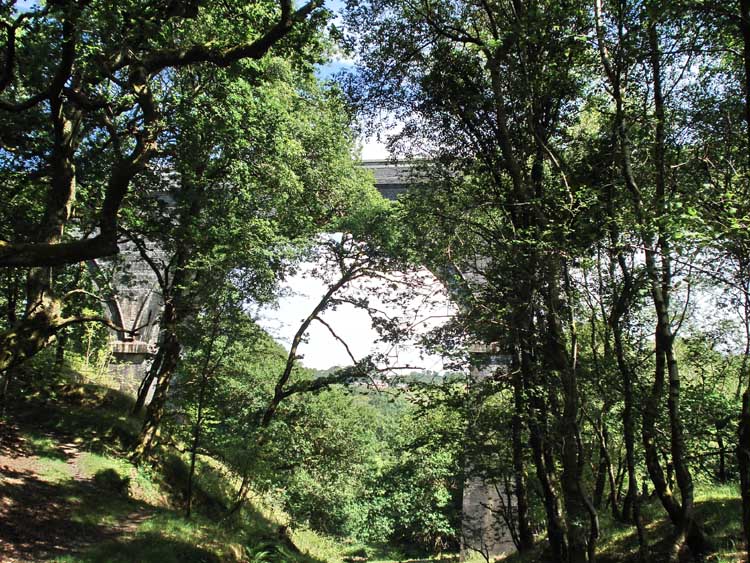
Looking up at the viaduct .....
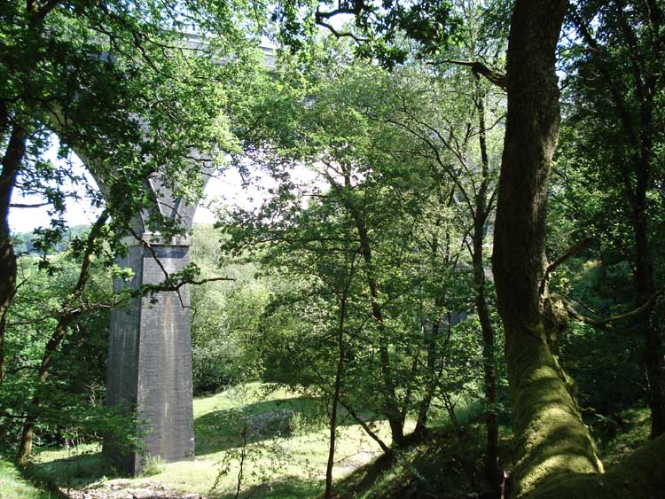
..... and again.
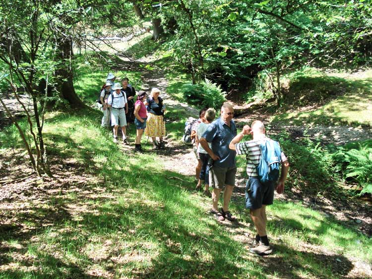
Strolling in the pleasant, dappled shade .....
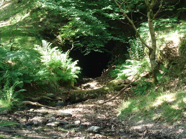
A view of a black hole, or an adit from Wheal Franco mine.
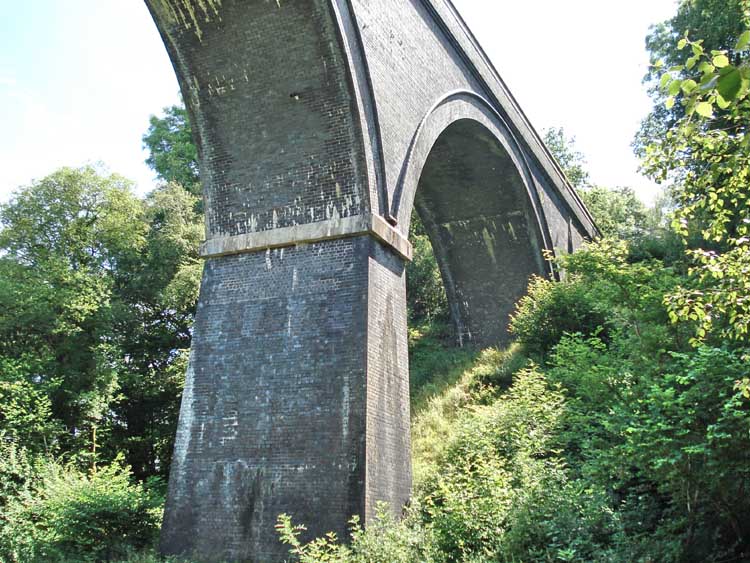
The viaduct again, made from blue Staffordshire brick! Reconstructed in 1902, replacing the earlier (1859) Brunel engineered �trestle� type structure.
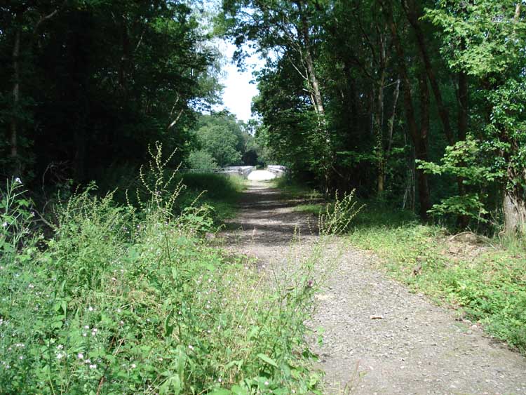
A view along the old railway track across the viaduct.
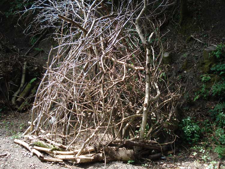
A shelter construction seen along the way, one of three .....
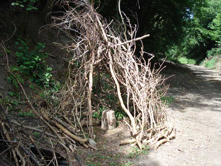
...... another view .....
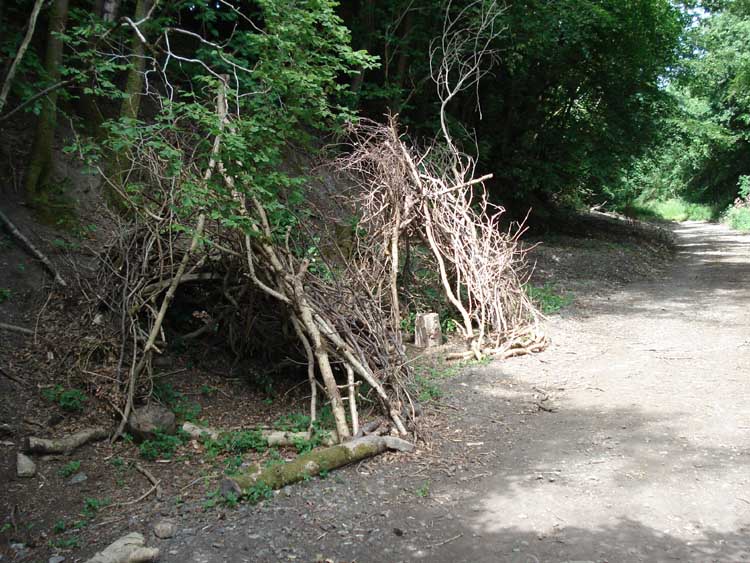
..... including the second shelter .....
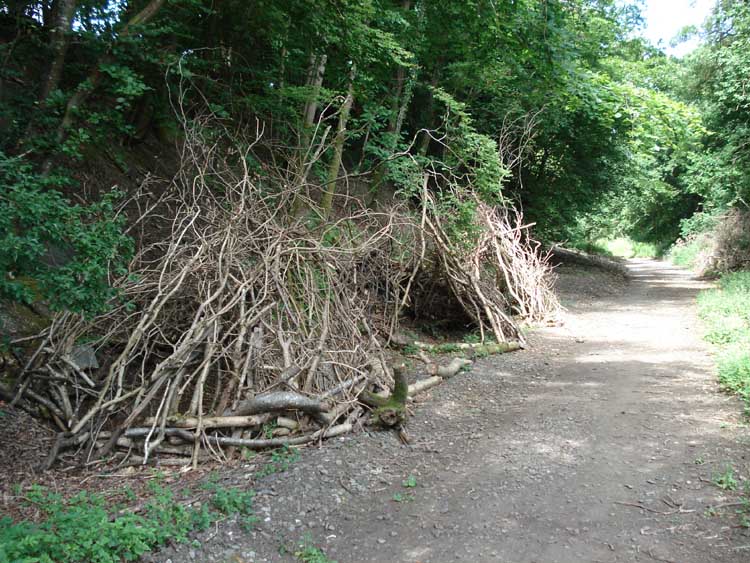
..... and the third. All very craft-fully made.
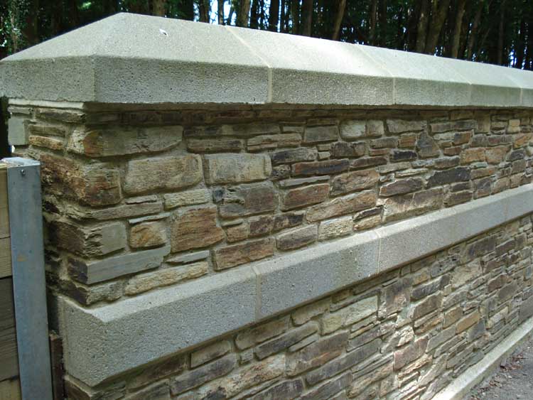
Stonework on a bridge along the way, this being part of the Sustrans-National Cycle Network, Route 27.
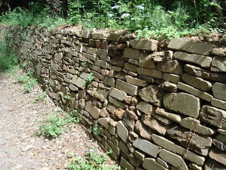
Stonework in a hedge.
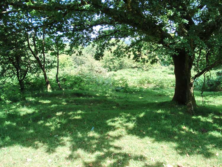
Another general view of the scenery around these parts .....
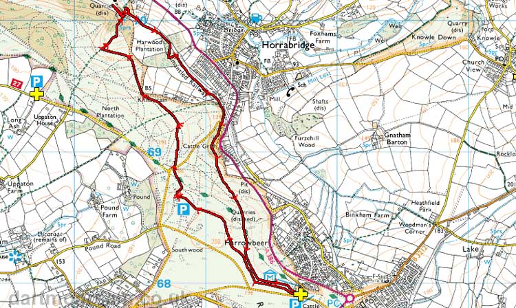
The red line is the route walked, as tracked using GPS.
Ordnance Survey © Crown copyright 2005. All rights reserved. Licence number
100047373.
Also, Copyright © 2005, Memory-Map Europe, with permission.
The start of this walk was easily reached using the road from Yelverton to Crapstone, with parking at the yellow cross / P symbol at the bottom of the map.
Statistics
Distance - 6.61 km / 4.1 miles.
All photographs on this web site are copyright ©2007-2016 Keith Ryan.