|
F11 - Full screen F11 - Normal view Home & Contents |
|
"Alt" +
� |
This walk: 2010-6-9. Hawthorn blossom, bluebell, Teign estuary, WWII rifle range backstop, EPB 1837 boundary markers, milkwort, Dartmoor ponies, sheep creep, Buckland Beacon, The Ten Commandments Stones, Wells Tor (Welstor Rock), WWI rifle range backstop, lime-loving ferns growing on old mortar - maidenhair spleenwort & black spleenwort.
Walk details below - Information about the route etc.

Hawthorn tree in blossom (Cretaegus monogyna), seen on the way to the walk .....

Hawthorn blossom .....
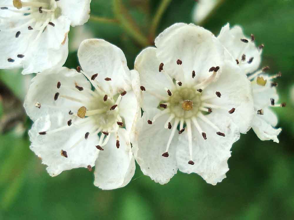
Hawthorn blossom.
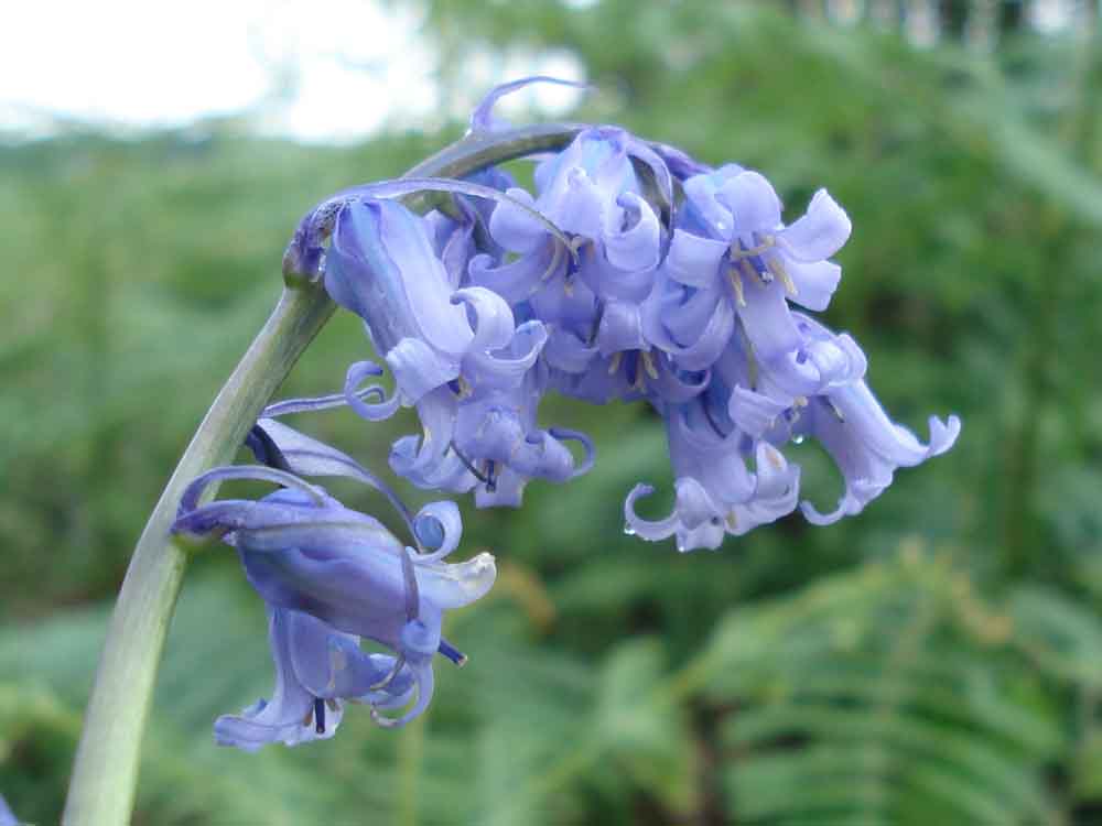
Bluebell, Hyacinthoides non-scripta.

View to the Teign estuary ..... with the eye of faith!
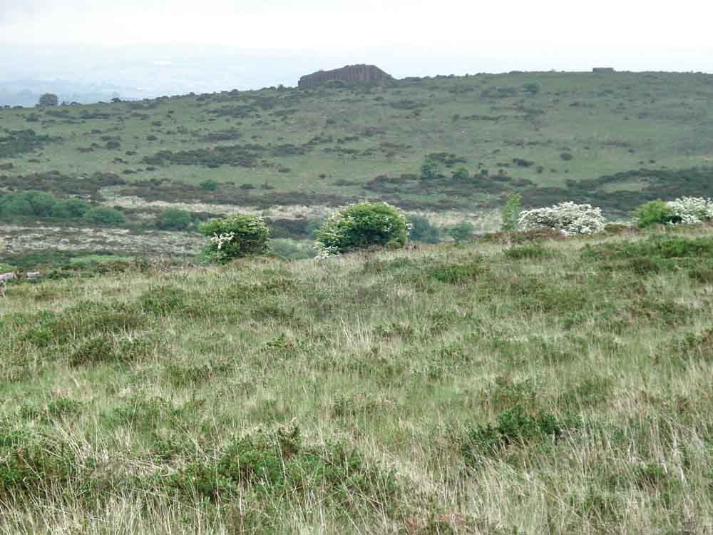
World War II rifle range butts / bullet stop on Hallshanger Common (SX 750 738).
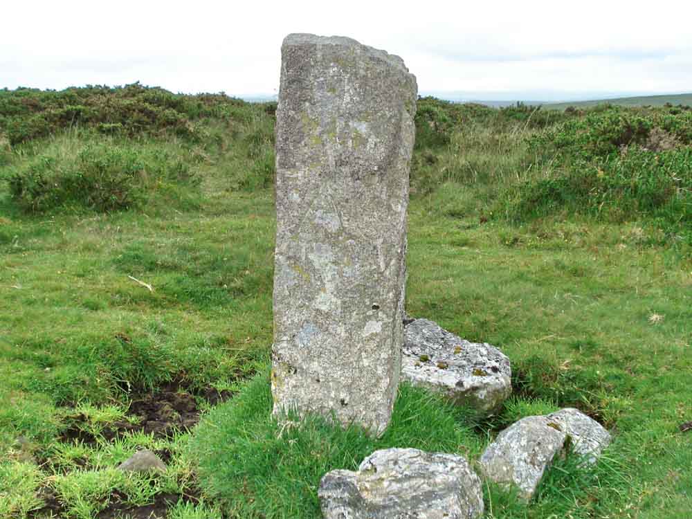
A - Ashburton, on a manorial boundary marker .....
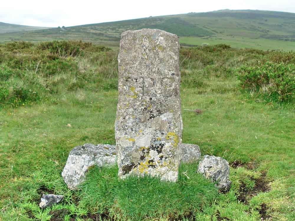
EPB 1837 - Edmund Pollexfen Bastard, Lord of the Manor of Buckland in the Moor, 1837. The other side face bears "B" for Buckland in the Moor but was rather overgrown with lichen.

Milkwort (Polygala vulgaris).
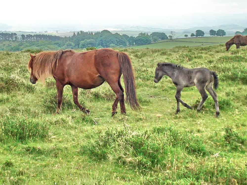
Dartmoor ponies, mother and foal .....
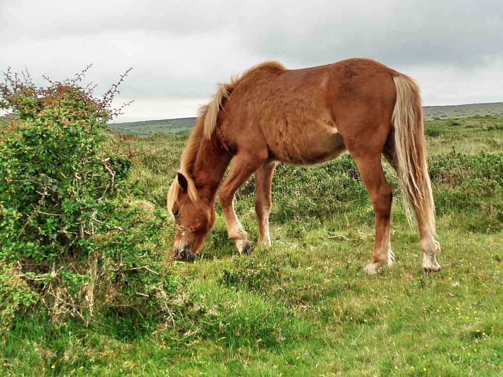
Another pony.
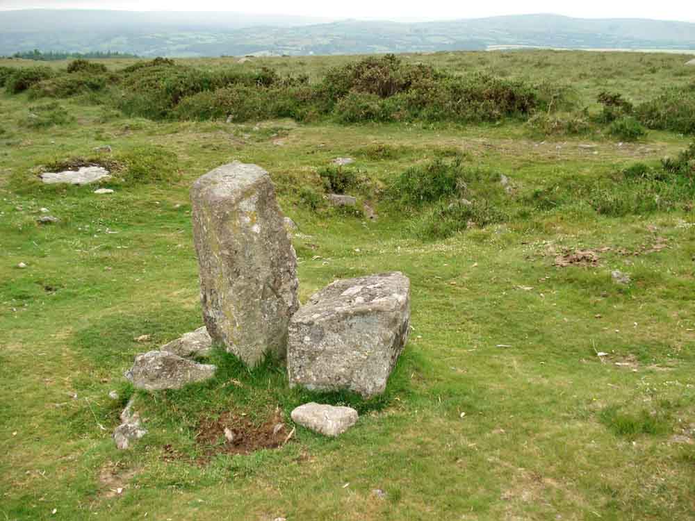
Another boundary marker, these were sometimes erected on the sites of old cairns and the stones here seemed to be surrounded by a ring of near-buried stones (= cairn circle?).
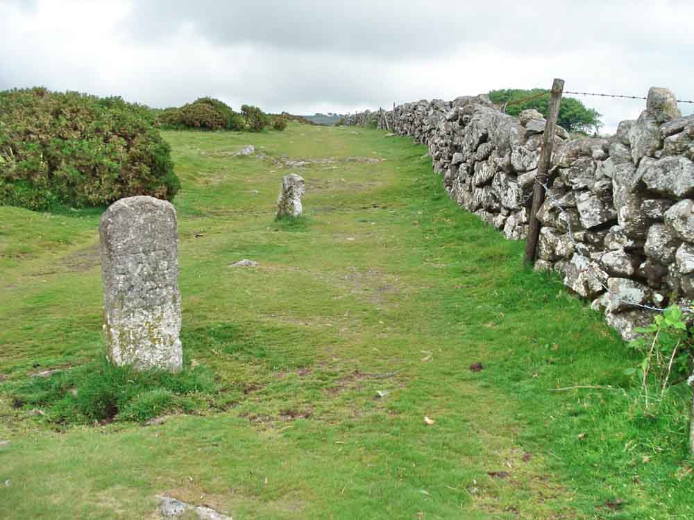
Another marker.
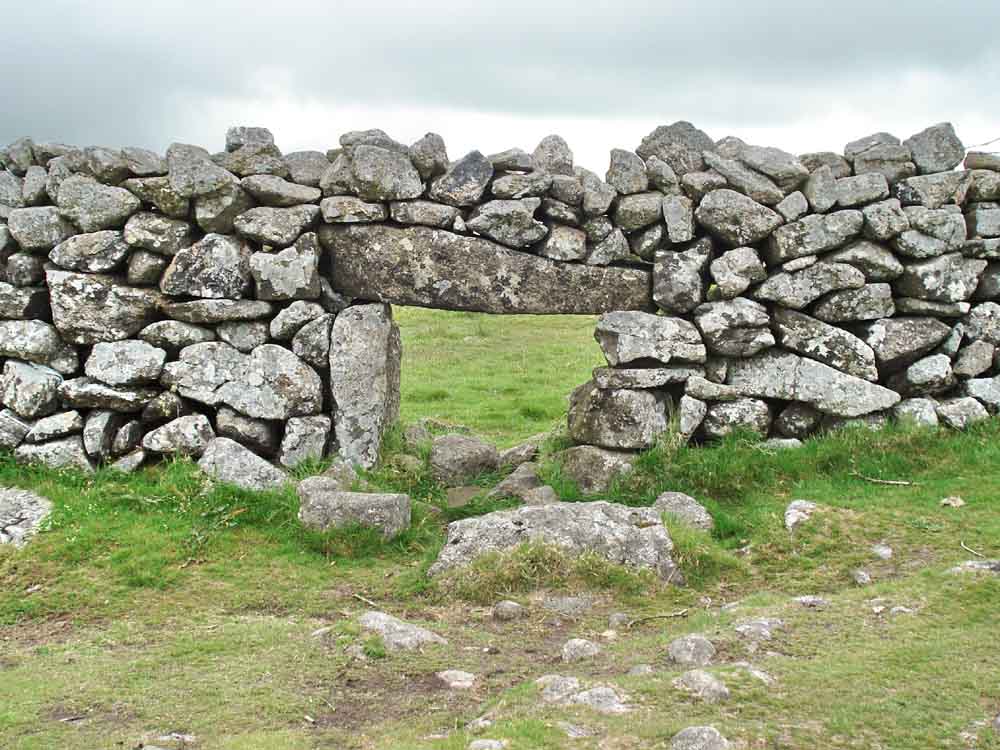
A sheep creep, allowing sheep to move between enclosures or onto the open moor .....

Ditto, taken from a very low angle - the things I suffer for my art!
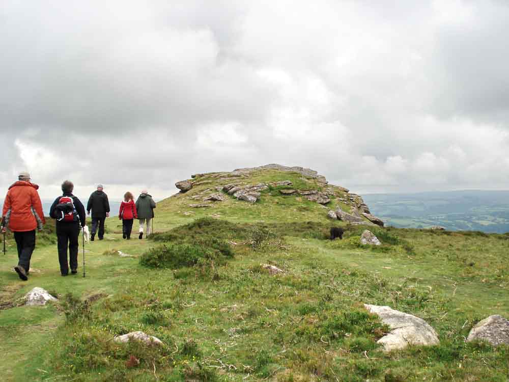
Approaching Buckland Beacon, SX 735 731, elevation 390 metres (1282 feet) .....
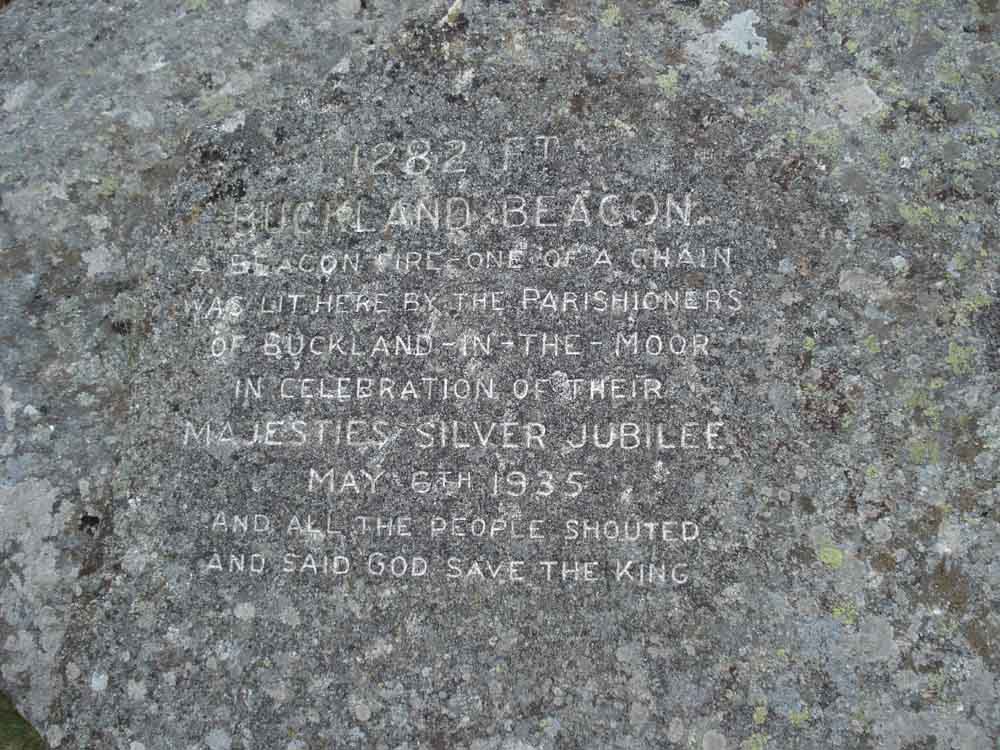
Inscribed stone near the summit .....

The Ten Commandments Stones, see this Legendary Dartmoor link for details. The stones were commissioned by William Whitely of Wellstor, Lord of Buckland Manor, in 1928, in celebration of the rejection by Parliament of a proposed new Book of Common Prayer that was deemed too popish by many. There are two dates on the stones: 15th Dec 1927 and 14 June 1928, that are the dates on which the revised book was rejected. When it was realised that there would be room to spare, the third verse of the hymn "Oh God our help in ages past" was added to the second stone. There are 1,547 letters.
The sculptor was WA Clement who lived nearby in a hut for two months whilst working in all weathers. The work was finished on 31 August 1928.
The stones were recut and painted black in 1995 and were renovated again in 2009 by the Dartmoor National Park Authority Conservation Team.
The inscriptions can be seen more clearly here ...........
The photo-montages of the stones show some distortion due to using a camera with a relatively wide-angle lens so that the joins are not perfect!
You can navigate around the large images using the keyboard arrow keys. If you
are viewing in full screen mode (F11), you will need to press F11 again to
access your browser "Back" button to return to this page.
| Dartmoor CAM movie Panorama from the top of Buckland Beacon, on a dull, windy day in mid-June!
|
Click the photo to download File size: 2 MB. Time to download: e.g. 13 secs Length 18 secs |

Approaching Welstor Rock also known as Wells Tor, SX 743 730 elevation approx 377 metres (1236 feet) .....
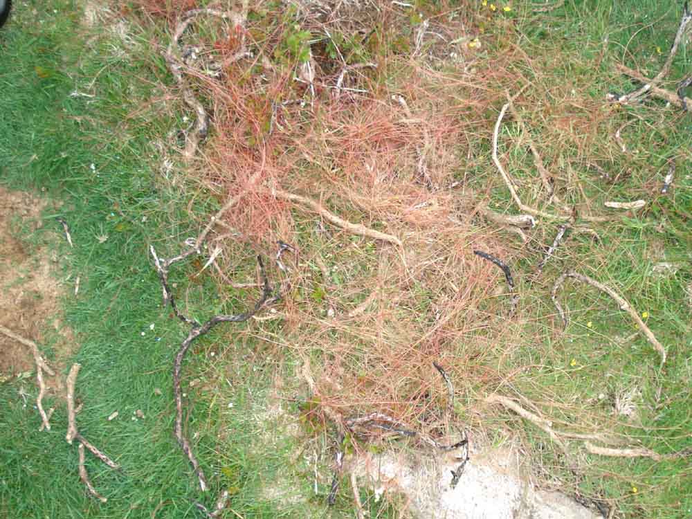
Strange, red coloured grass near the tor, in several places .....
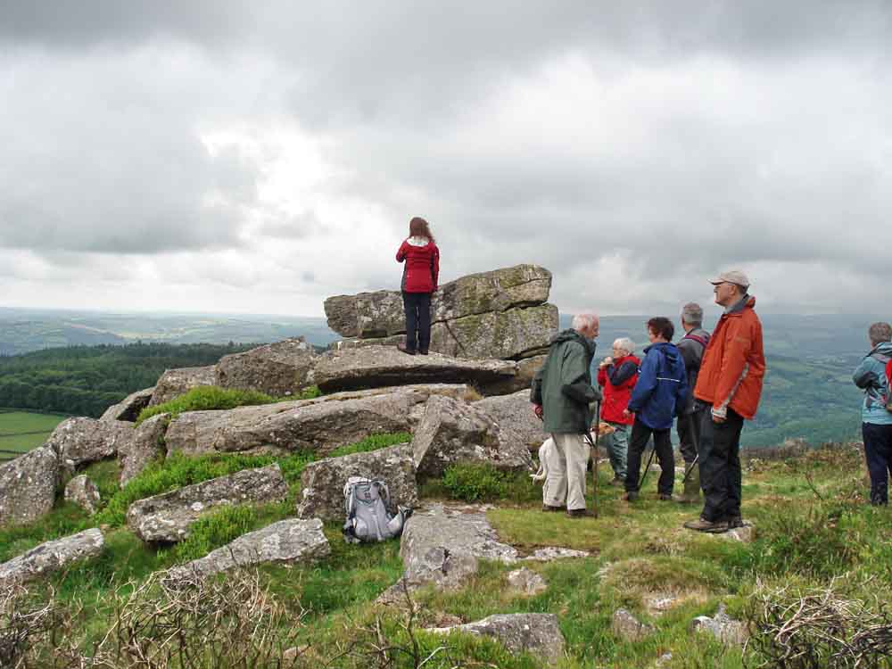
Moor Strollers at Wells Tor .....
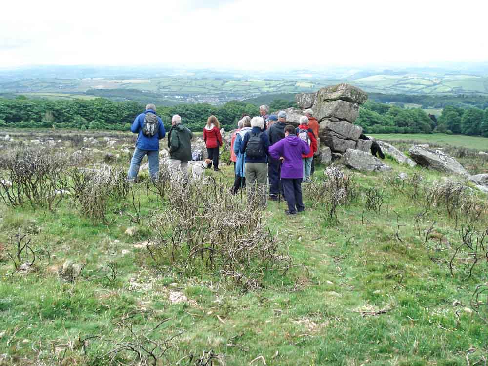
Ditto .....

Looking back to Buckland Beacon .....
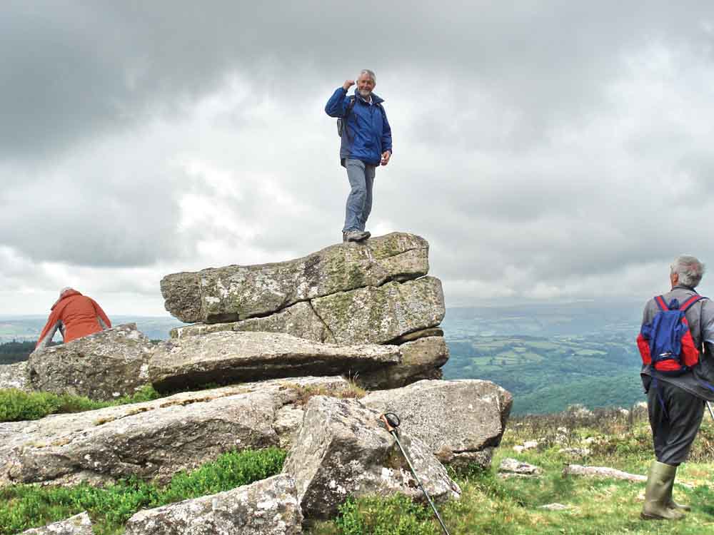
Our intrepid Hugh conquers another Dartmoor tor, with Rod looking on in admiration!

Burned gorse.
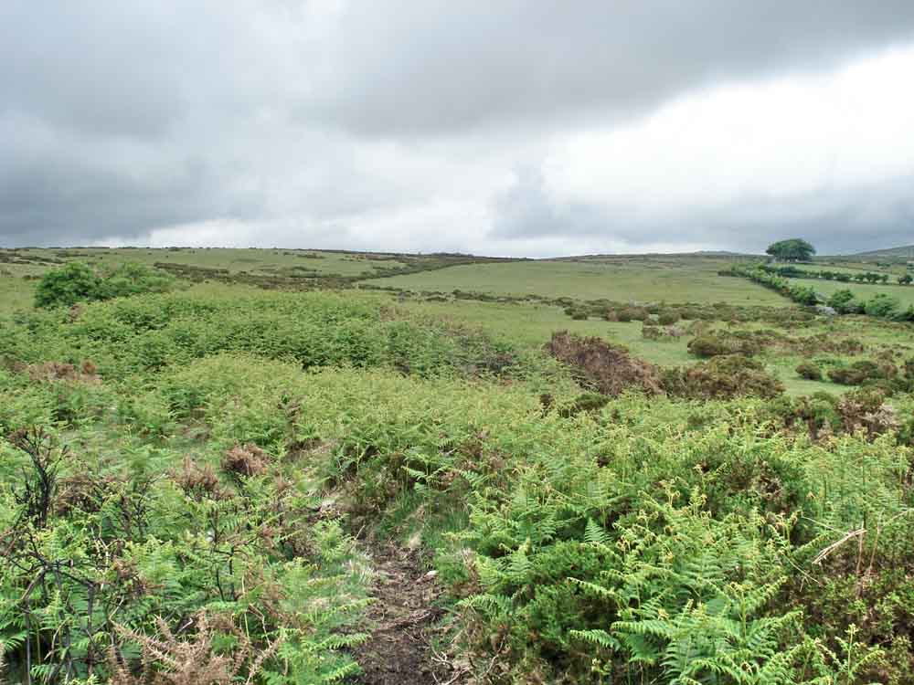
The hump at the left, mid-distance, is the backstop of a WWI rifle range ..... the firing taking place from the flat field stretching into the distance, up to 600 yards away. The near hedge is 200 yards away ..... This area, on Welstor Common, was once a WWI rifle range. It is no longer shown on modern maps but can be seen older maps:
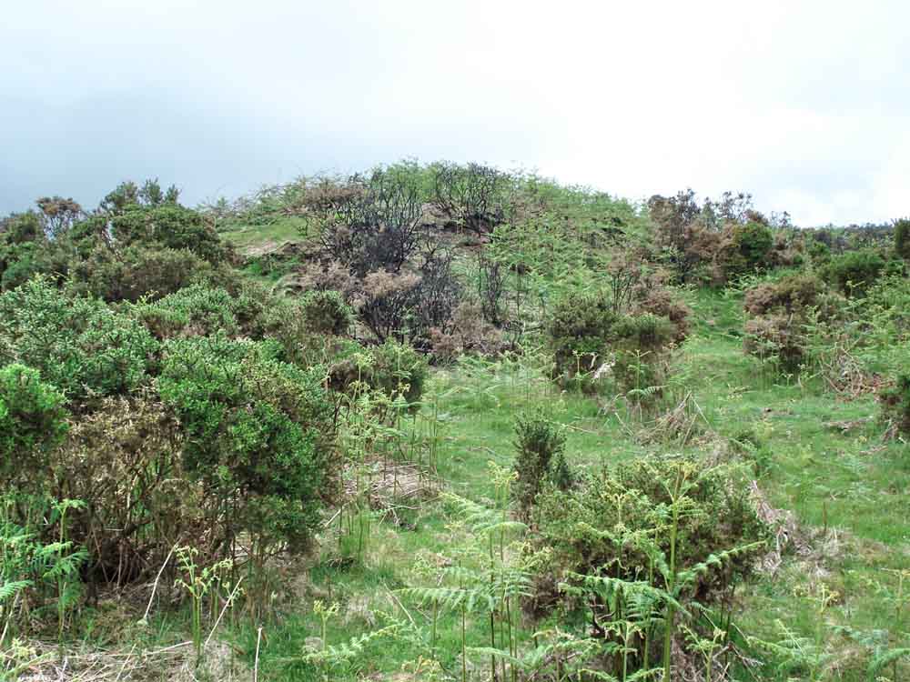
A view of the backstop area seen from the front .....
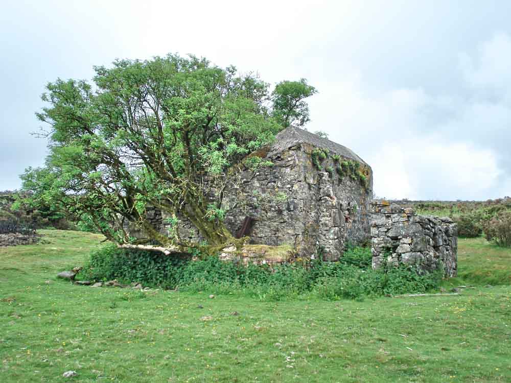
A building of now unknown purpose, perhaps it housed target apparatus?
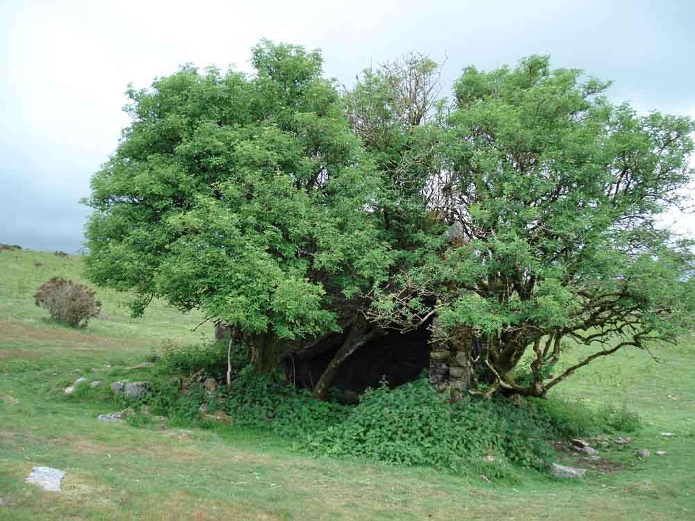
Another view of the house - there is a collapsed tin roof and a lot of stinging nettles .....
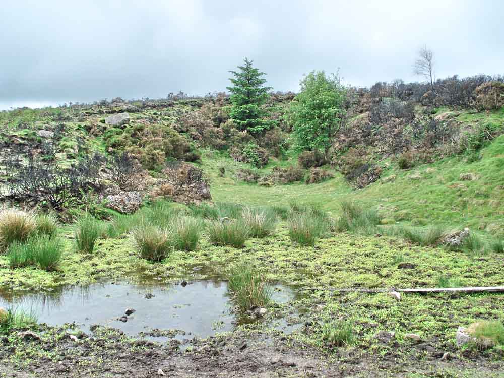
A nearby quarry area .....

Another aspect to the building .....

Ferns growing on the highest wall .....
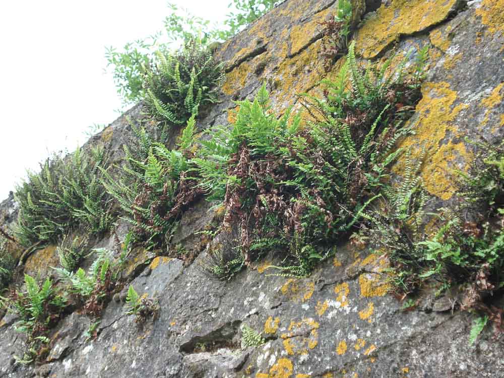
Ditto .....
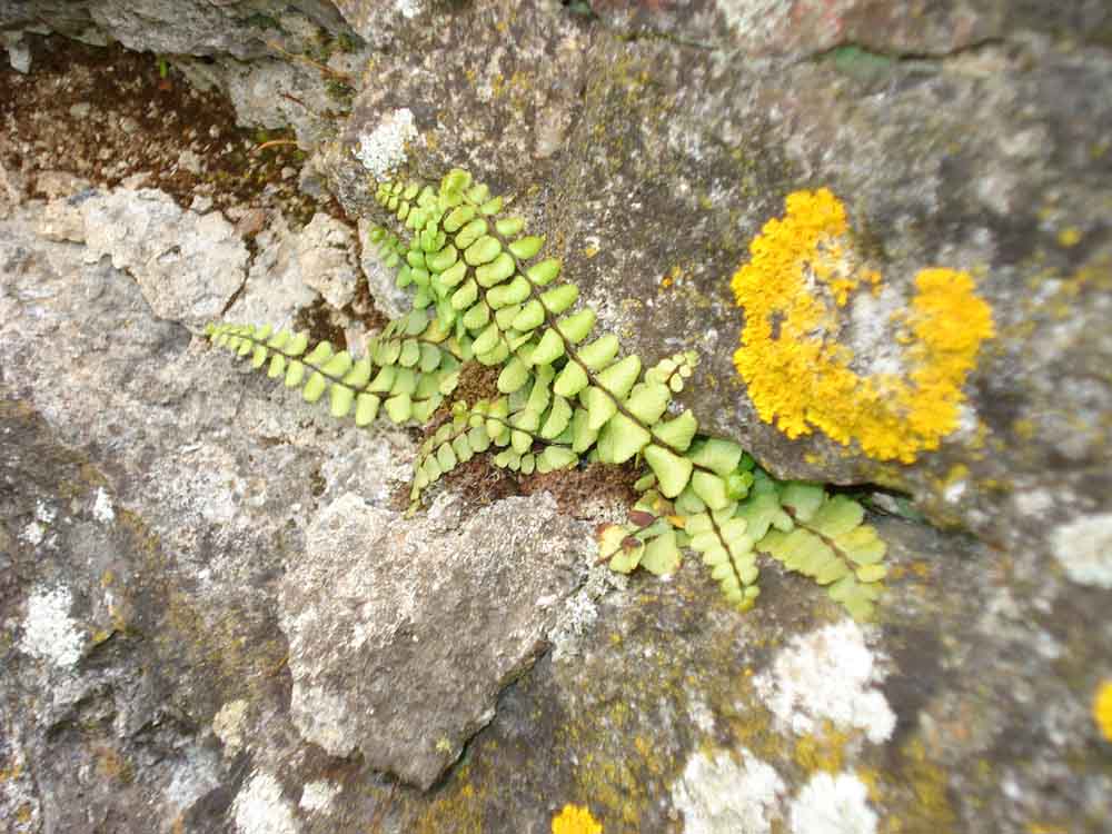
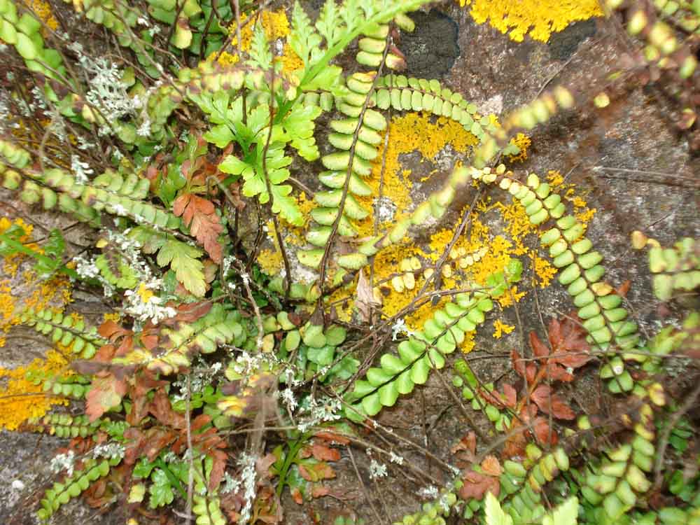
Maidenhair spleenwort, Asplenium trichomanes subspecies trichomanes, (subsp. according to the rounded, not oblong, pinnae), a lime-loving plant on the old mortar in the wall .....
As previous photo, with lichens .....
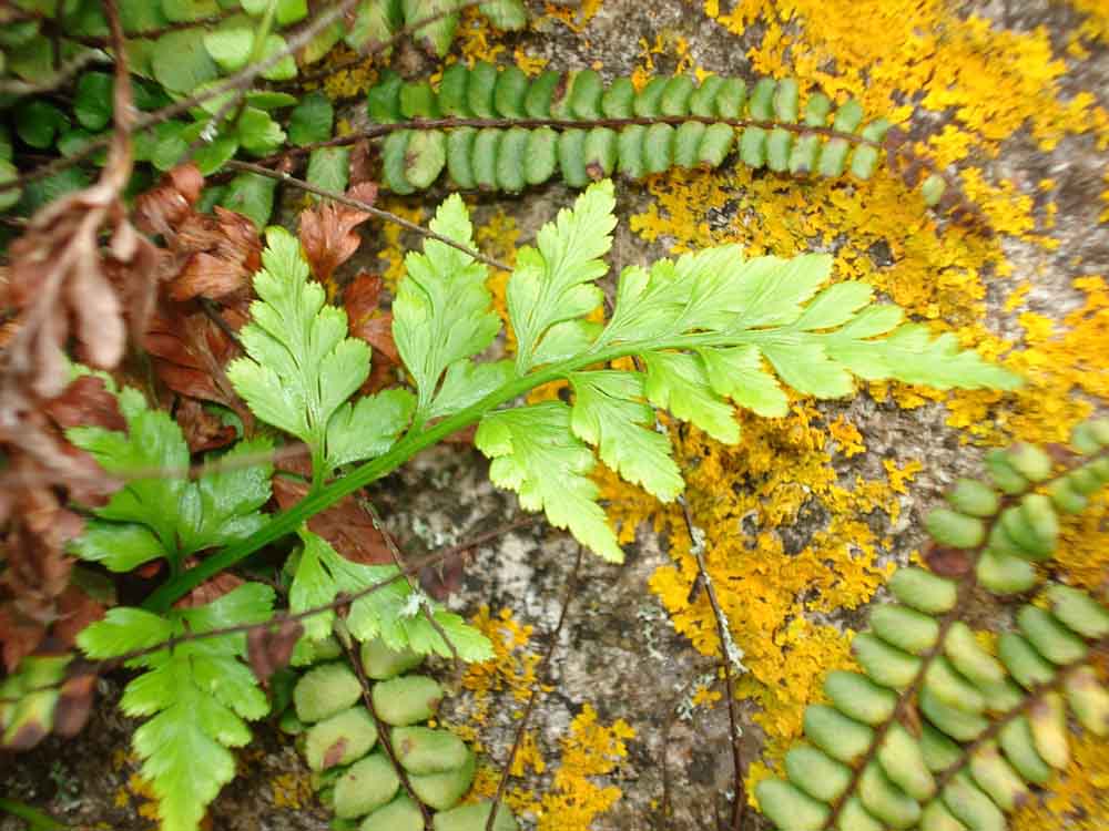
Black spleenwort, Asplenium adiantum-nigrum, a fern of walls and rocks, inland as well as coastal, the frond triangular in outline, broadest at the base, the stipe is dark brown or black and the basal pinnae are not inflexed (Ref: The Fern Guide, J. Merryweather, Field Studies Council, page 65.
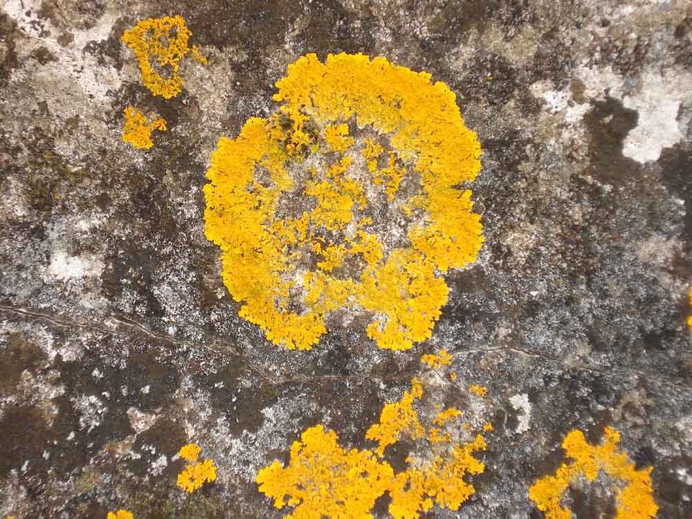
Striking orange lichen on the old wall.
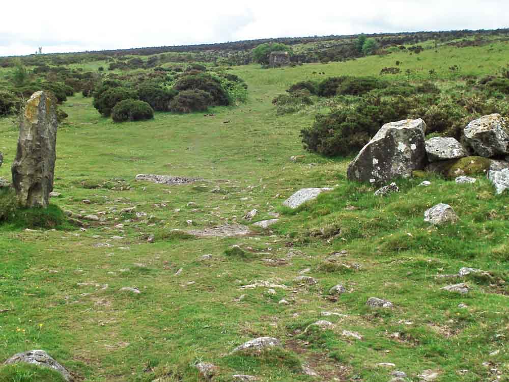
Looking back at the backstop / butts from the 200 yard hedge.
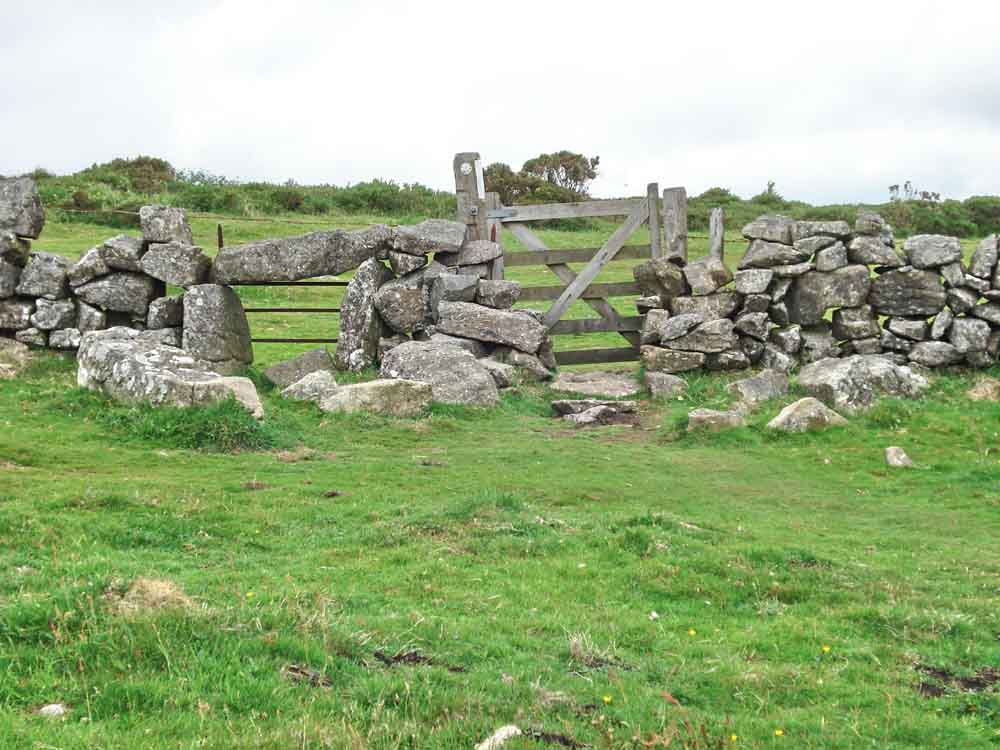
A sheep creep (blocked with an old gate) beside the modern gate.
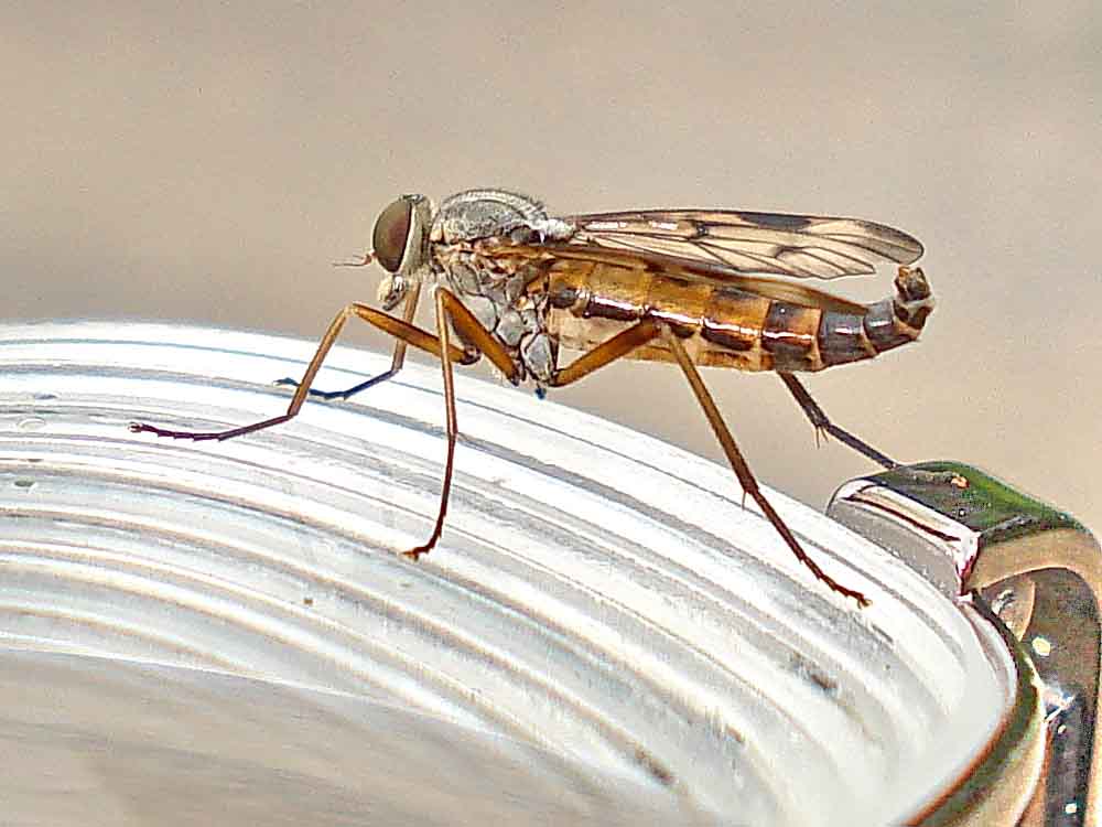
Believed Snipe fly (Rhagio species - there are several) landed on my glasses and it bothered me .................
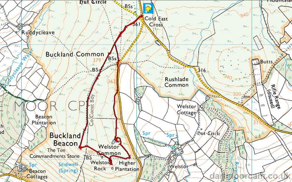
MAP: Red = GPS satellite track of the walk.
Ordnance Survey © Crown copyright 2005. All rights reserved. Licence number
100047373.
Also, Copyright © 2005, Memory-Map Europe, with permission.
The walk was accessed via the A38 from Plymouth, Newton Abbot/Widecombe turn-off and following the road for Widecombe to the Cold East Cross car park, the P symbol with a yellow cross on the map. It can also be accessed from the Tavistock/Widecombe direction.
Statistics
Distance - 3.78 km / 2.35 miles
All photographs on this web site are copyright ©2007-2016 Keith Ryan.
All rights reserved - please email for permissions
Dartmoor Tick Watch
The Cornish Pasty - The Compleat Pastypaedia

