![]()


This walk: 2010-7-14. Dartmoor Inn, Merrivale Quarry, Middle Staple Tor, marsh thistle, dung bonnets, Grey Down Quarry, fern (Broad Buckler?), Vixen Tor, yellow flower (Shrubby cinquefoil?), Rhode Island Red hen, gate hanger, gate post holes, Little Wonder Bridge, Pila Brook, picturesque path, cow wheat, sedum, Hucken Tor, Usnea, King's Tor, funnel web, Labyrinth spider, railway tracks, logan stone, Staple Tors, Great Mis Tor, Little Mis Tor, Four Winds, Yellowmeade Farm, Marsh St John's Wort, TA stone, stone rows, cist, round house/hut circle, millstone.
Walk details below - Information about the route etc.
The walk that Sue missed ................. blue sky .................
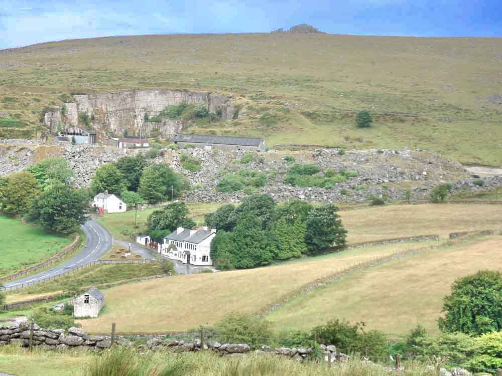
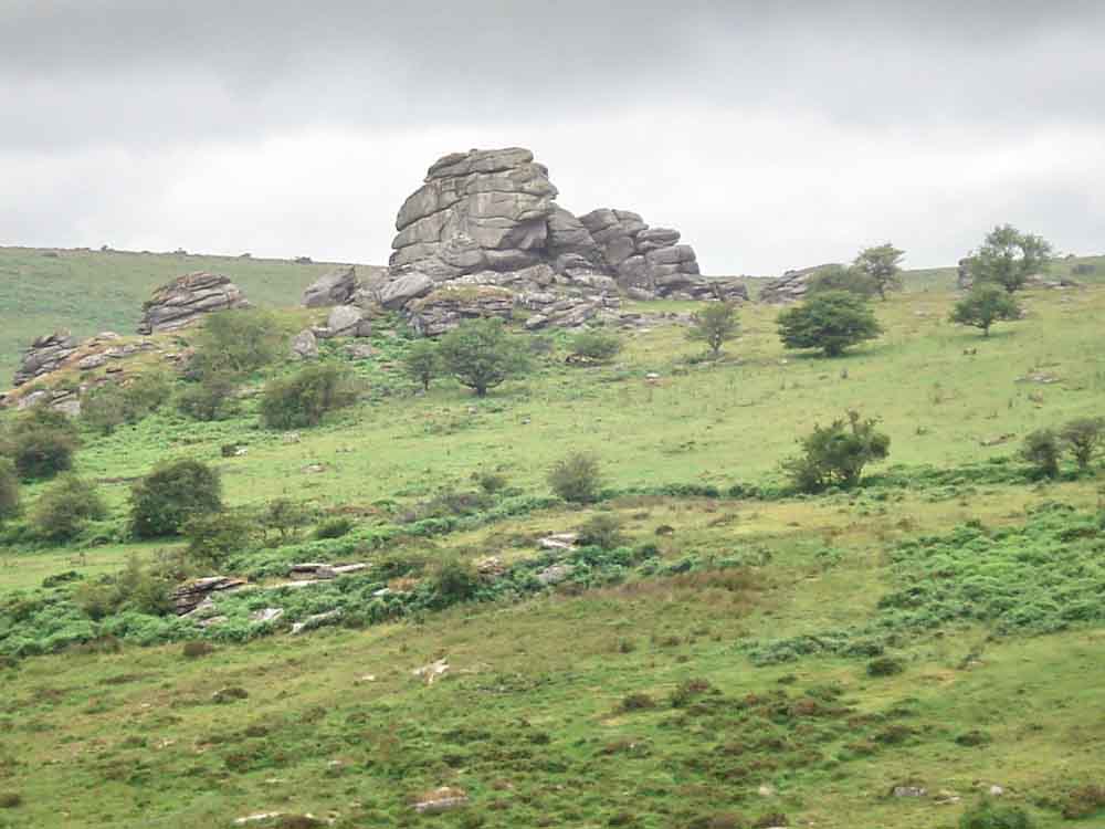
A photo from the car park looking at the Dartmoor Inn, Merrivale, with Merrivale Quarry and Middle Staple Tor behind. The shimmer on the road outside the pub is but a mirage .....

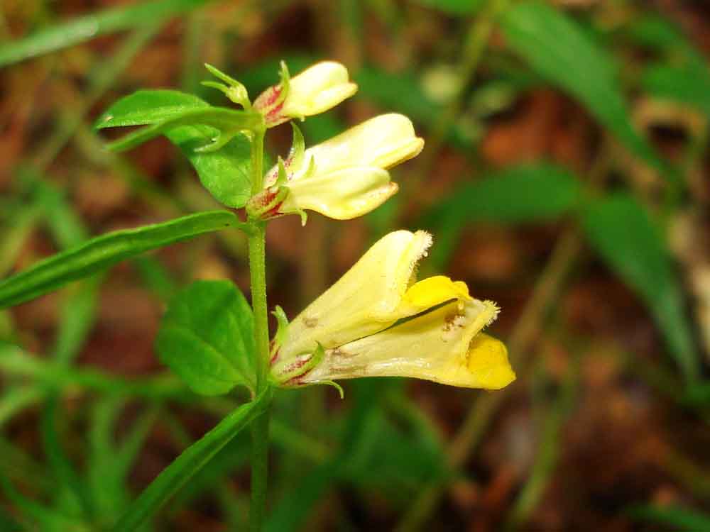
Believed Marsh Thistle, Cirsium palustre, rather than the single-headed Meadow Thistle, Cirsium dissectum .....
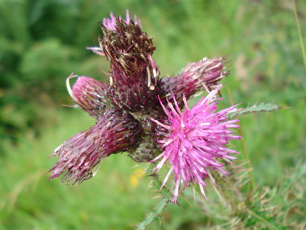
Close-up of a flower head.
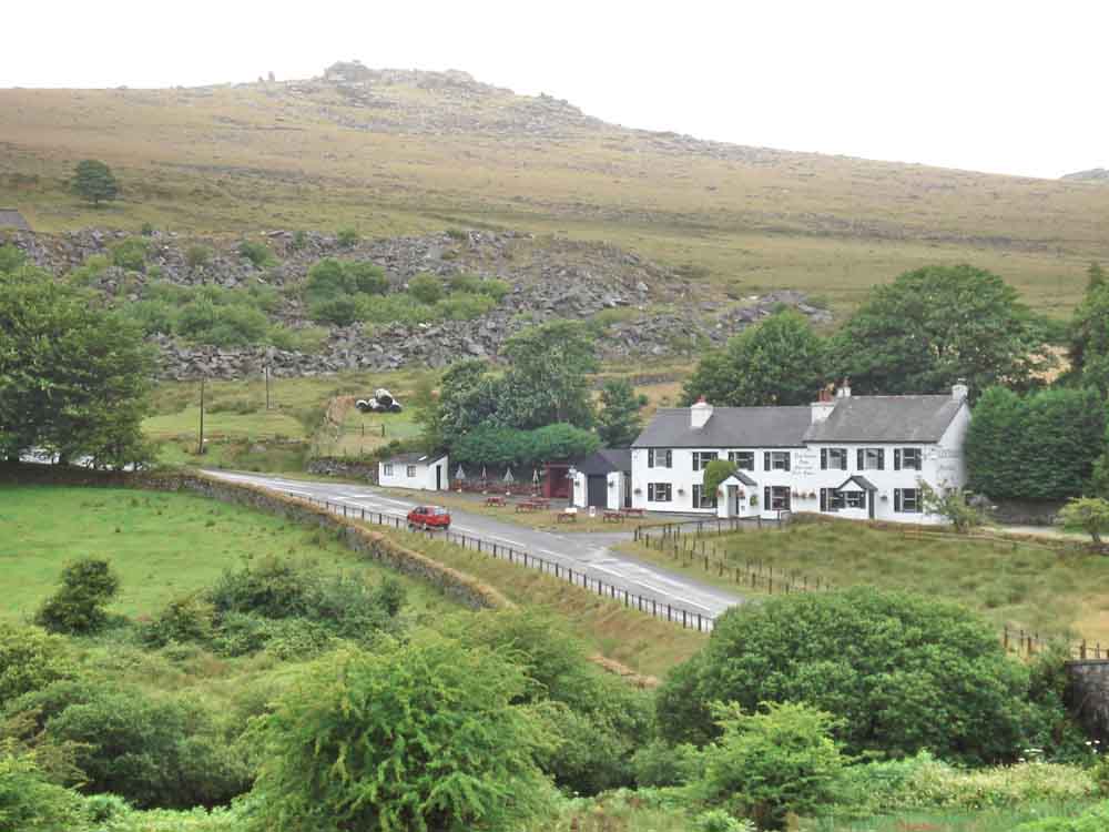
Another view of the Dartmoor Inn and Middle Staple Tor.
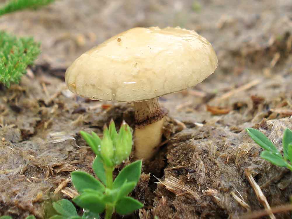
Coprophilous fungi: known as Dung bonnets, Bolbitius vitellinus.
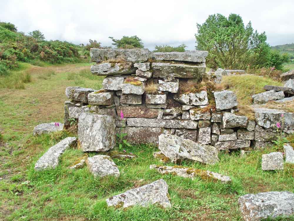
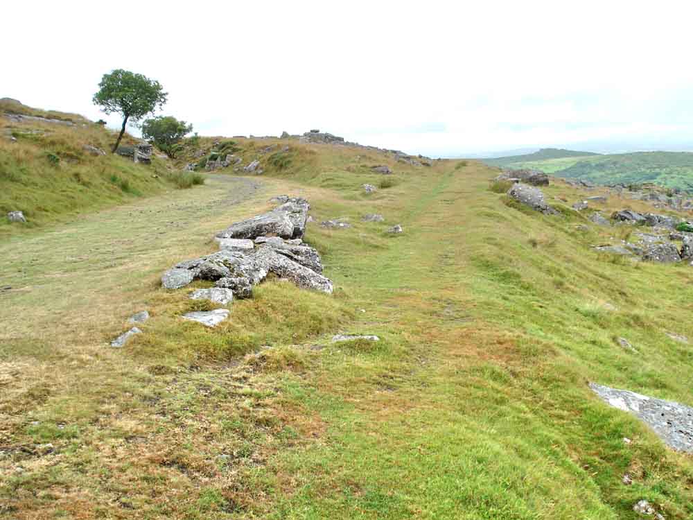
Remains of a building at the old Grey Down Quarry (was it once Grey Down?) at SX 549 746 .....
Further remains .....
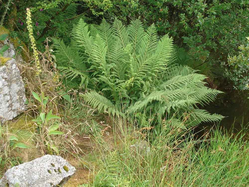
An interesting fern at the quarry .....
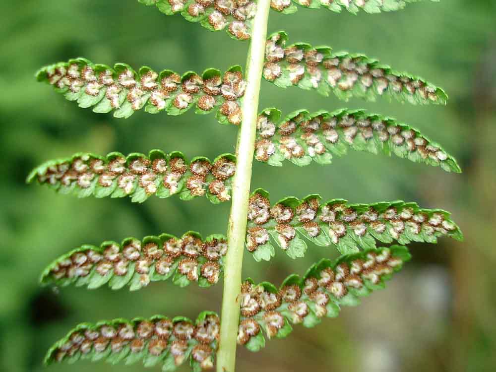
This is a section of pinna, a side branch from the main stem (or rachis). It is clearly subdivided into pinnules, the separate green leafy sections, making it at least bipinnate and these are themselves further divided into pinnulets, making it tripinnate. This "keys" down to being one of the buckler ferns, probably Broad buckler, Dryopteris dilatata, found in acid woodland, banks and heaths across Britain. It is difficult to confirm these ferns without sitting down beside the plant with the identification key and a spy glass!
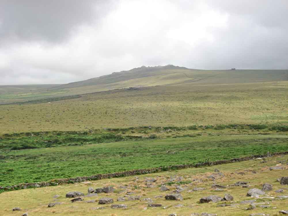
Zoomed view to Vixen Tor.
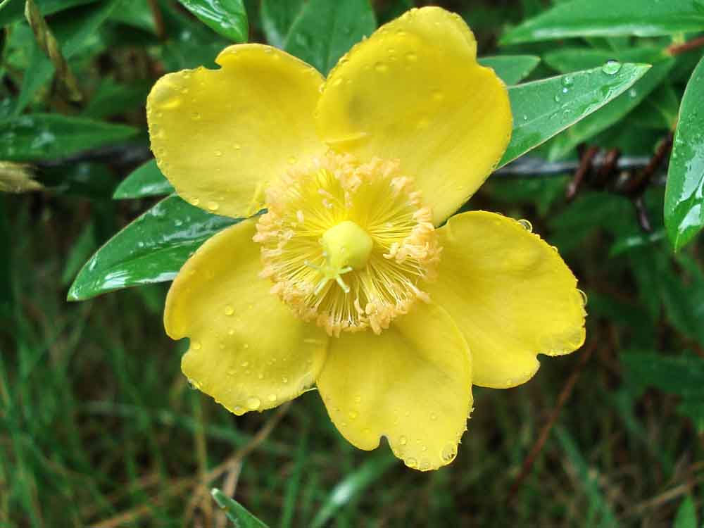
Garden hedging plant seen at Longash - Shrubby Cinqefoil (Wikipedia), Potentilla fruticosa (www.hedging.co.uk).
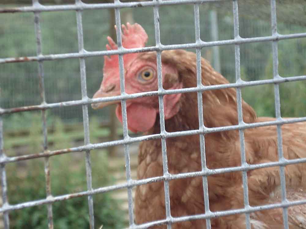
A Rhode Island Red hen encountered along the way at Longash.
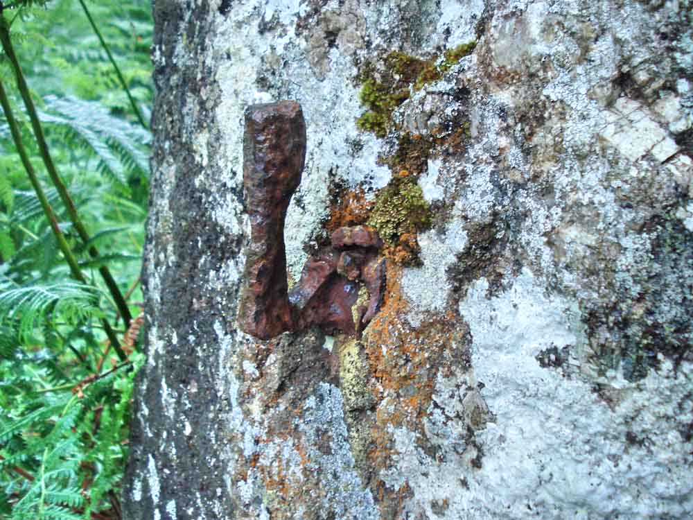
An old gate hanger .....
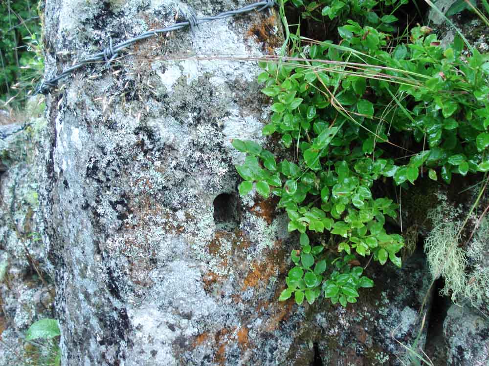
An upright stone that once held a gate .....
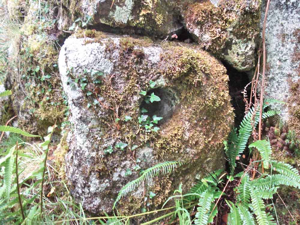
A similar stone nearby - probably the top part of an ancient �gate hanger� stone; the gate would have pivoted in the hole.
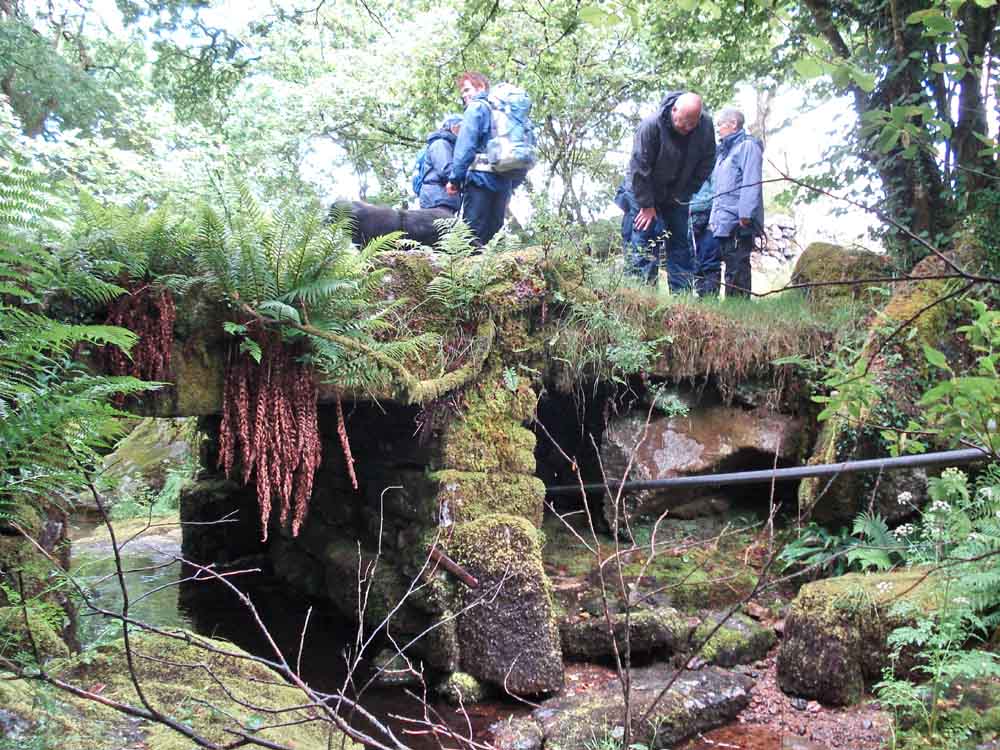
Little Wonder Bridge over the Pila Brook. So called because no matter how high the water rises, the 7 foot gap between water and bridge never diminishes .....
 |
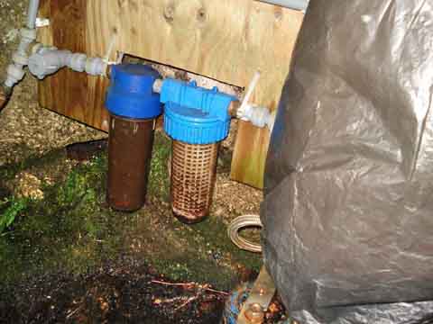 |
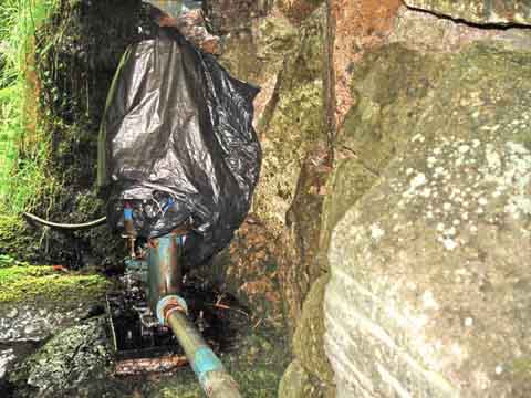
| Water pump and supply pipe ..... | Water filters, probably coarse and fine. |
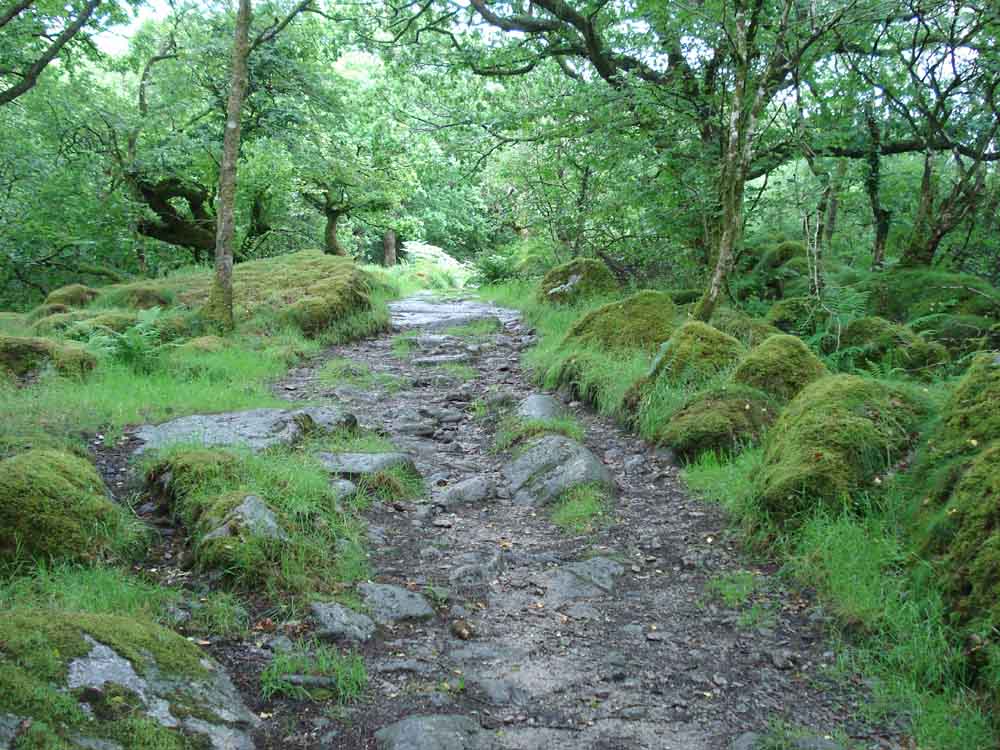
A view along the picturesque path ahead.
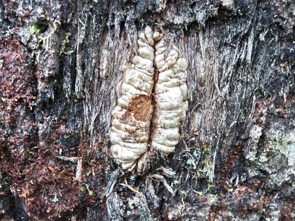
A scar on a tree trunk where a small branch had probably been removed.
Near the gate on the path that goes on to Daveytown.
Common Cow-wheat, Melampyrum pratense (paired flowers, pale yellow). Wood Cow-wheat, Melampyrum sylvaticum, has single golden yellow flowers.
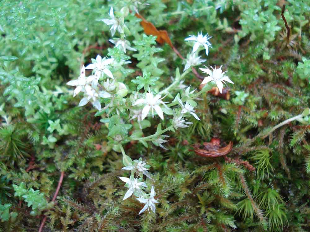
Believed White Stonecrop, Sedum album, alternatively, the reader is invited to decide from the following types: Australian Swamp Stonecrop, Biting Stonecrop, Caucasian Stonecrop, English Stonecrop, Greater Mexican Stonecrop, Hairy Stonecrop, Kamtschatka Stonecrop, Lesser Caucasian Stonecrop, Lesser Mexican Stonecrop, Mossy Stonecrop, Reflexed Stonecrop, Rock Stonecrop, Spanish Stonecrop, Tasteless Stonecrop, White Stonecrop.
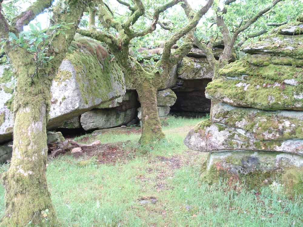
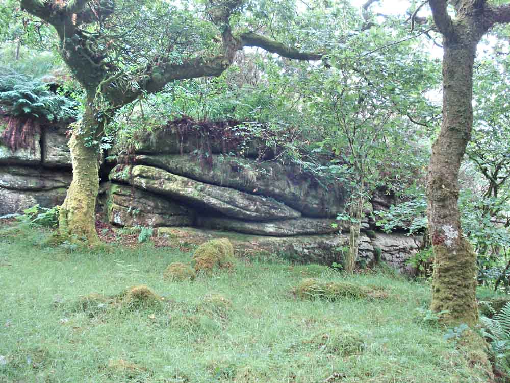
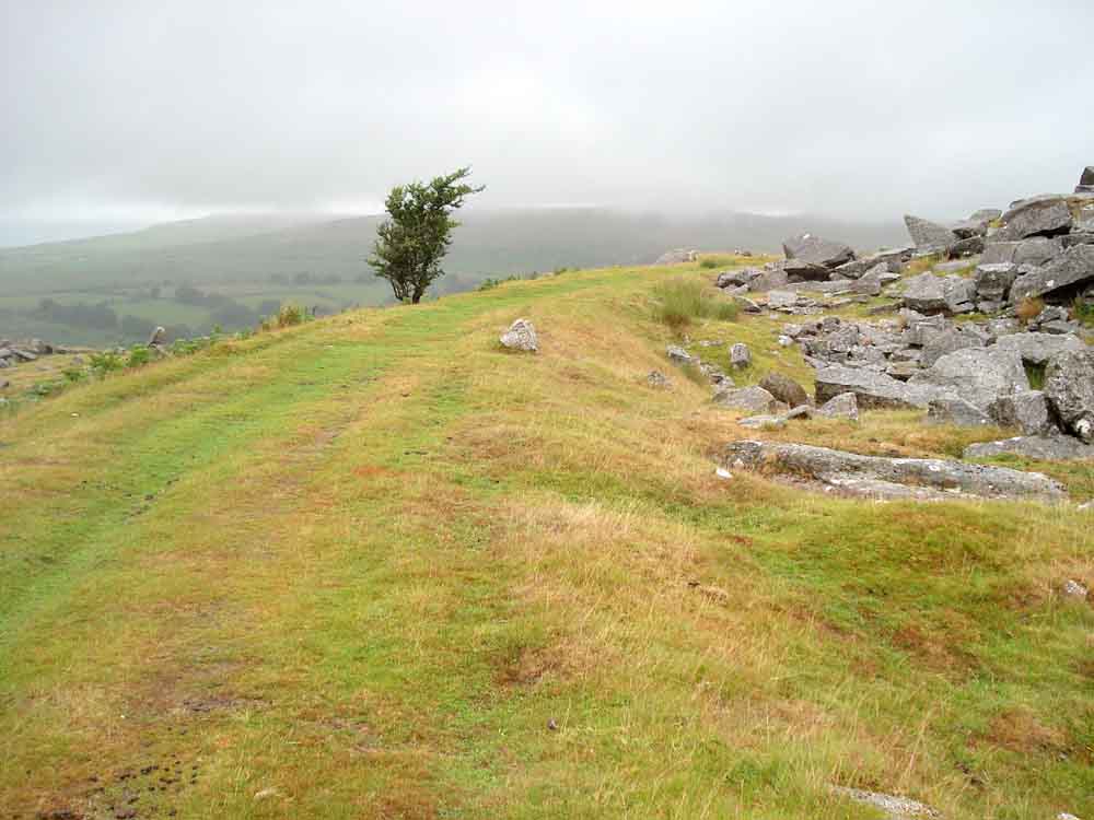
Rocks on Hucken Tor alongside what appear to be dwarf oaks. SX 549 738, also known as Hook-in-Tor, Okel Tor, Hulkynctore.
Hucken Tor, elevation 300 metres (984 feet) .....
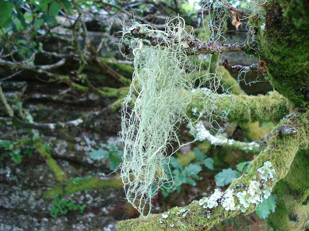
Unidentified Usnea lichen growing on the oak tree .....
Rocks near the summit .....
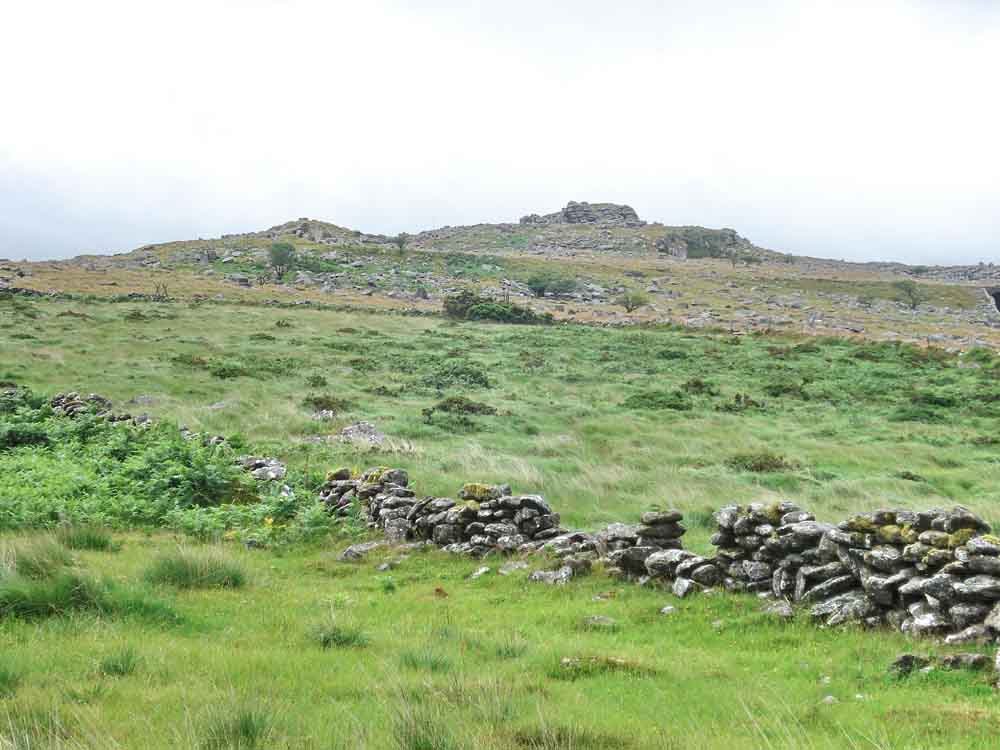
View to King's Tor .....
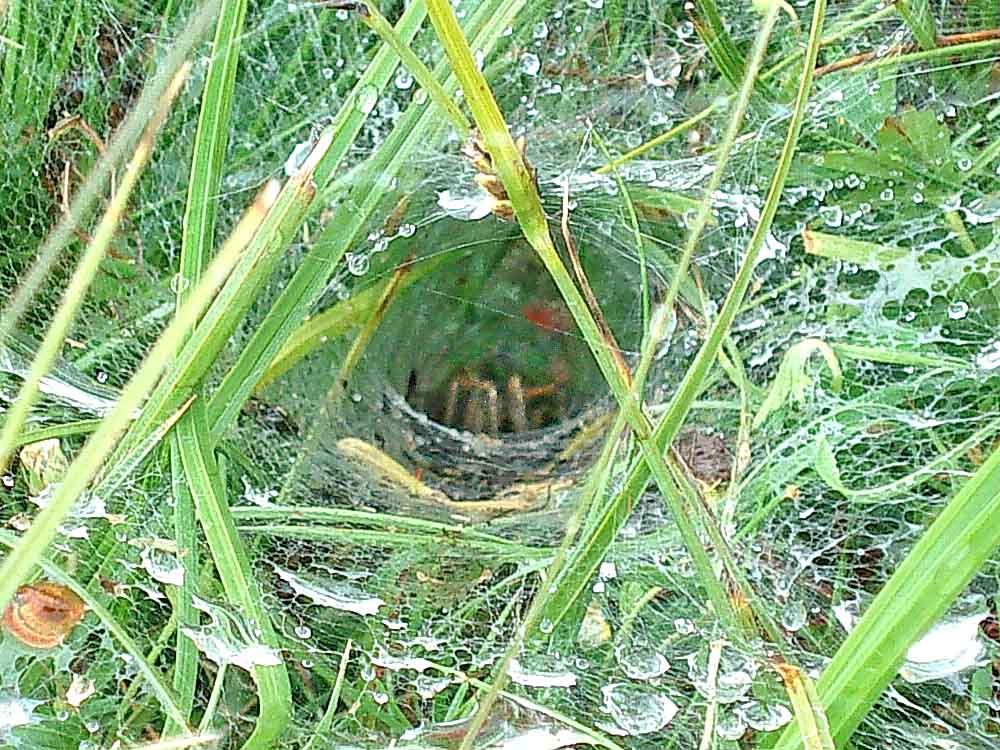
Labyrinth spider (Agelena labyrinthica) waiting in bottom of the funnel web ..... this must not be confused with the Sydney Funnel-web Spider (Atrax robustus) found in Australia and which has a powerful venomous bite.
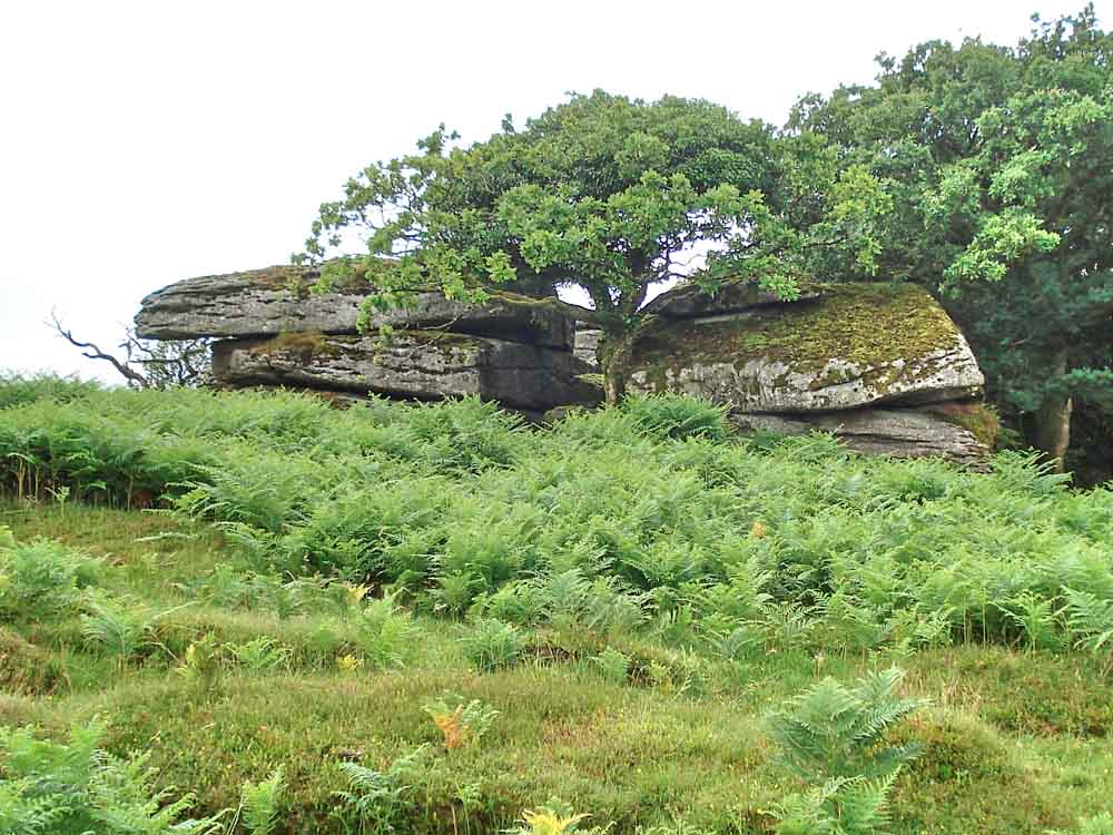
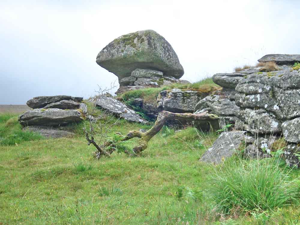
Another view of the rocks at the top of Hucken Tor, where softer, more crumbly granite has left a large, harder rock, believed featured in Geological Magazine. The tilted rock atop the crumbled granite had a series of rock basins on it�s (now sloping) surface; these would have formed over thousands of years when it was lying horizontally on top of the rocks and so subject to erosion by weathering.
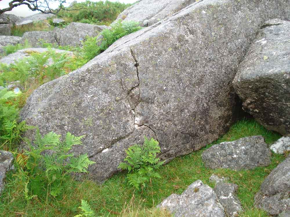
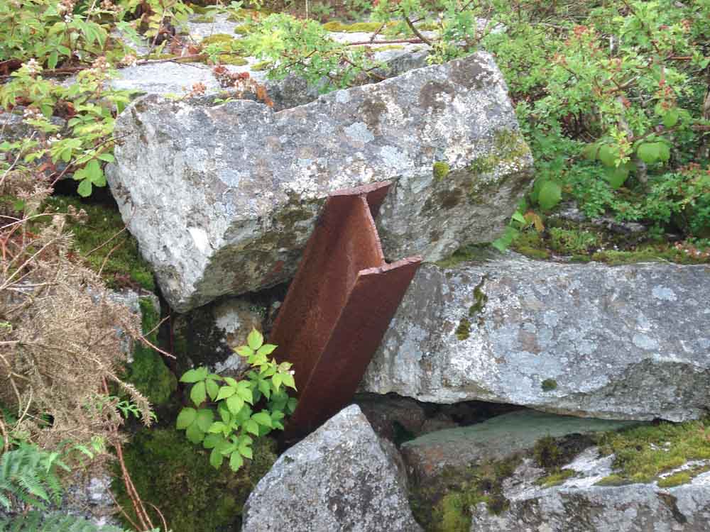
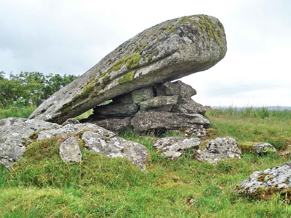
A large rock that has been split with a single drill hole (feather and tare) ..... where the rock has split but has been left in place: this is a quite unusual find .....
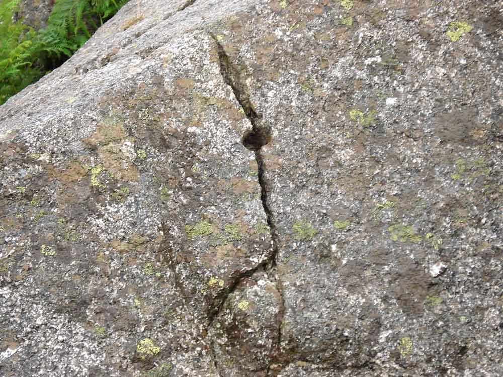
Closer view.
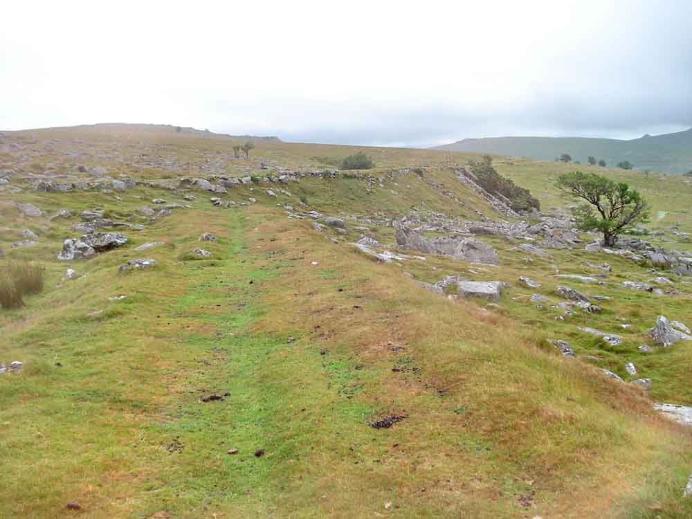
View on reaching the track bed. This is the bed of the earlier horse-drawn railway - Devon's first iron railway, the Plymouth & Dartmoor Railway. This is looking back towards Plymouth with the later steam railway bed visible running across the view and with a bridge towards the right side to allow livestock to pass underneath.
Looking the other way, towards Princetown. Here the tramway contoured around the western shoulder of Little Kings Tor; the later steam railway went through a cutting.
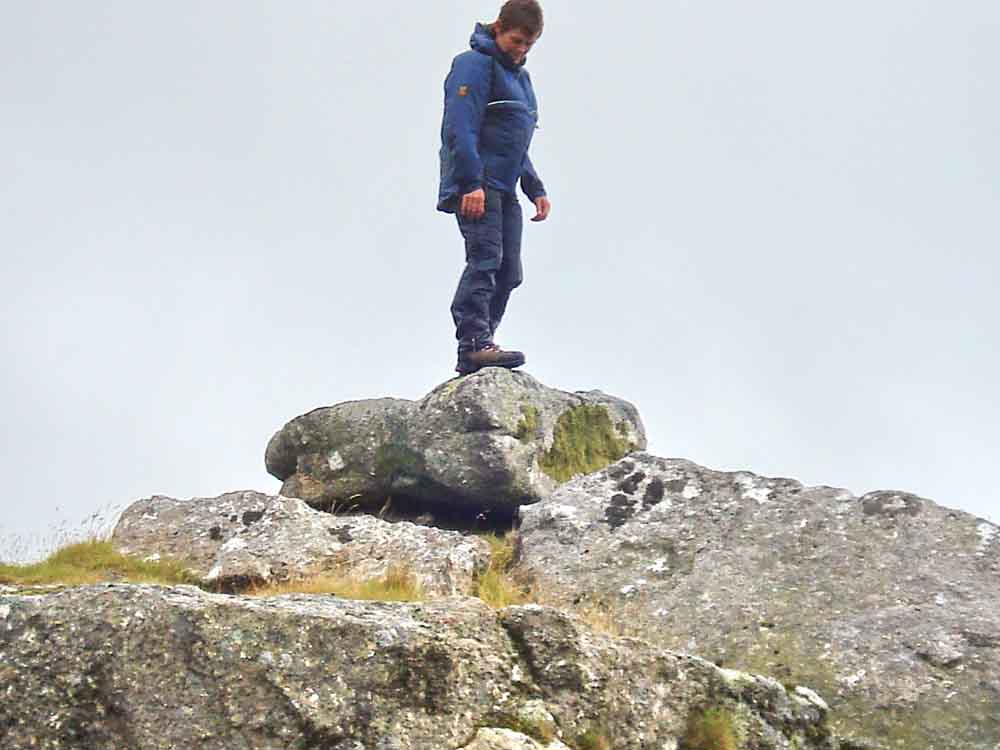
A small logan stone - this is where my "movie" camera failed to operate .....
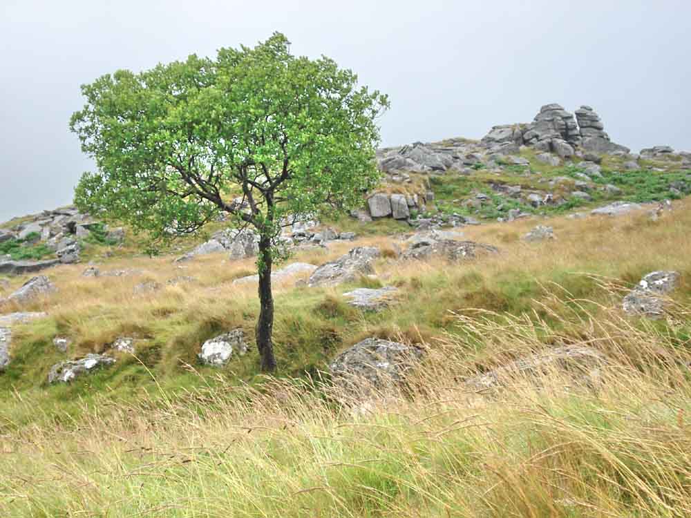
Nearby rowan tree with King's Tor behind.
Looking across Merrivale to the Staple Tors.
The coming together of the two old railway beds.
View from the disused railway to Great Mis Tor with Little Mis Tor on the skyline (right).
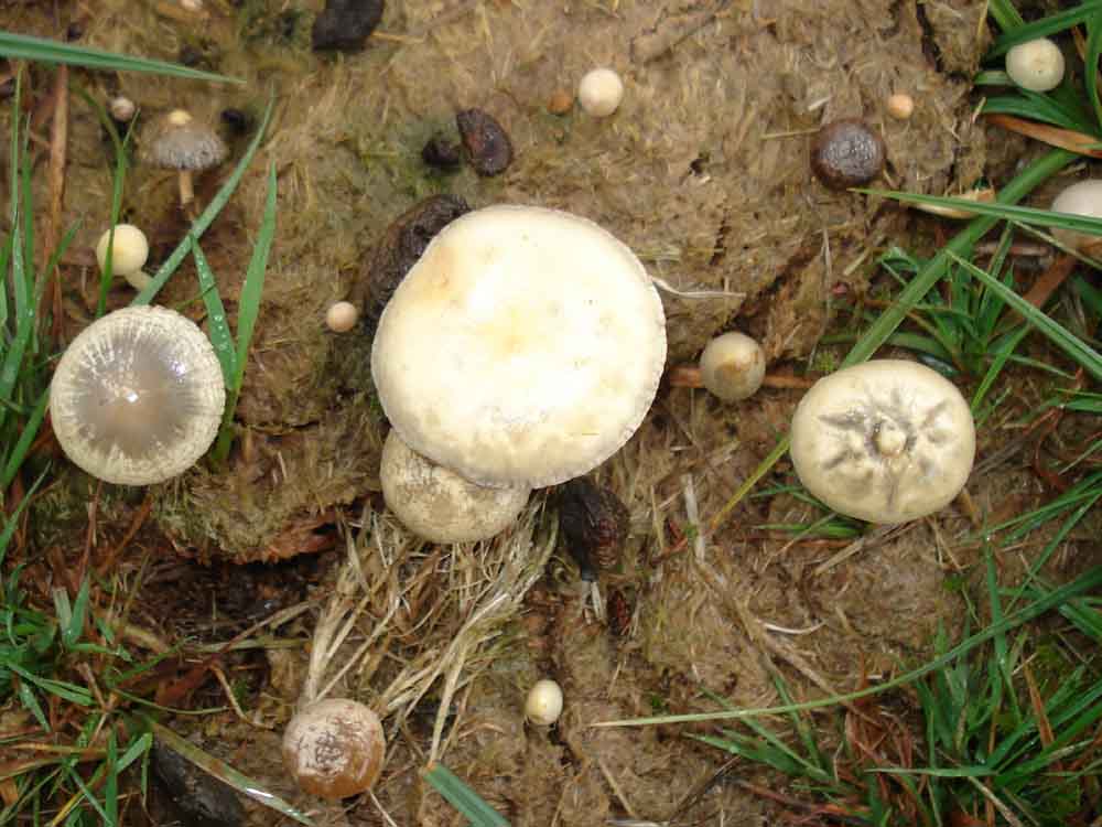
Looking down on more dung fungi, with differing appearances (with age?) to the fungal cap.
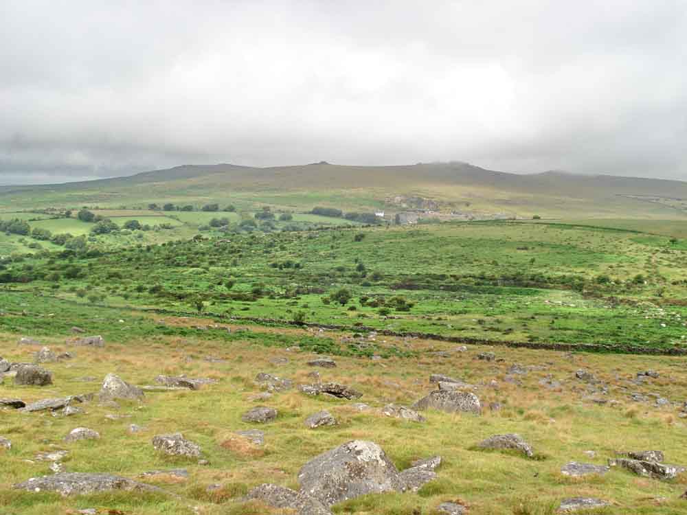
Great Mis Tor (left), Little Mis Tor (centre) and Four Winds (right).

Yellowmeade Farm with North Hessary Tor TV transmitter behind, extending up into the low cloud.
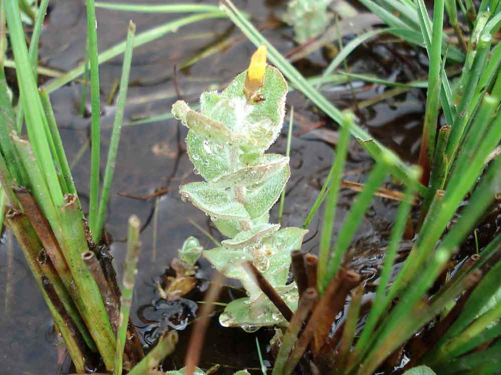
Marsh St John's Wort, Hypericum elodes.
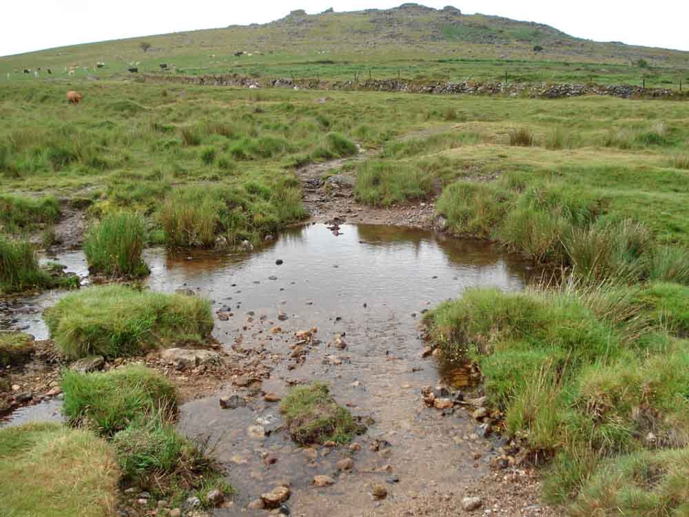
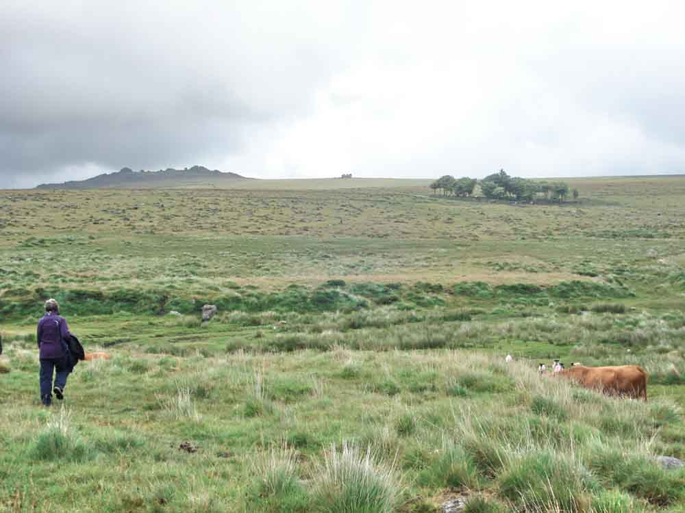
Cattle crossing, SX 55832 74408.
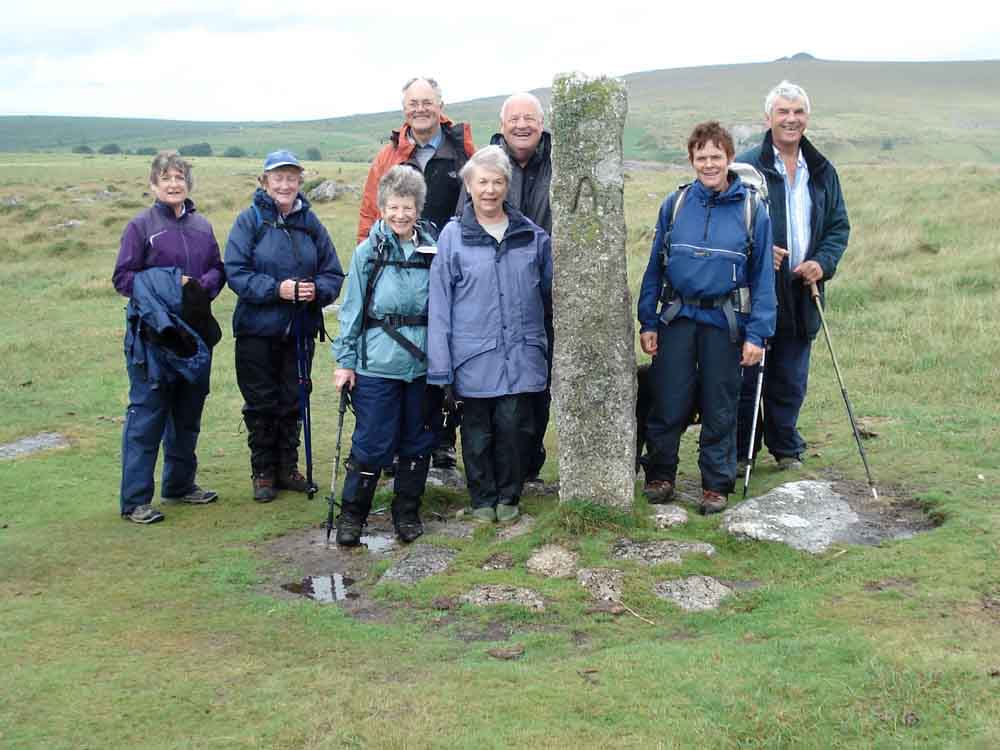
Group at a marker stone with "A" on side and "T" on the other - the TA stones mark the ancient packhorse track across the moor between Tavistock and Ashburton, this was an important trading route, marked out by these stones in 1669. Wedge and groove marks can be seen on these stones. Known by some as "AT stones" because if you are near one of these then you know where you'm at!
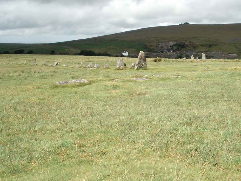
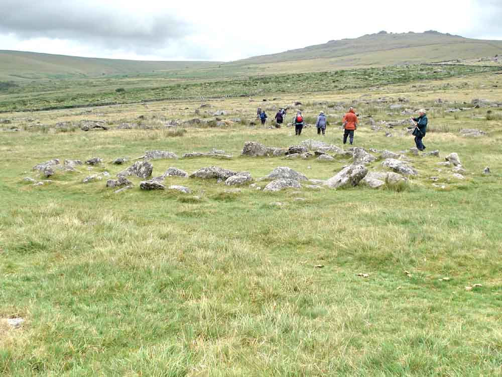
A view of the two double stone rows at Merrivale .....
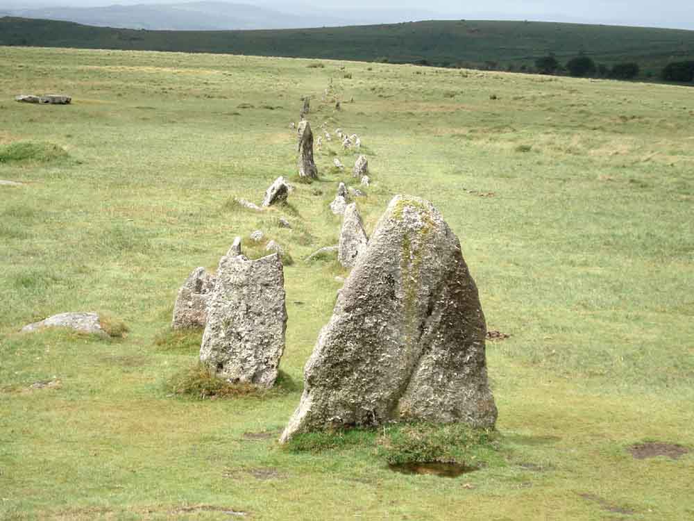
Looking along the southern row from the east end .....
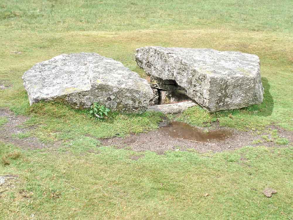
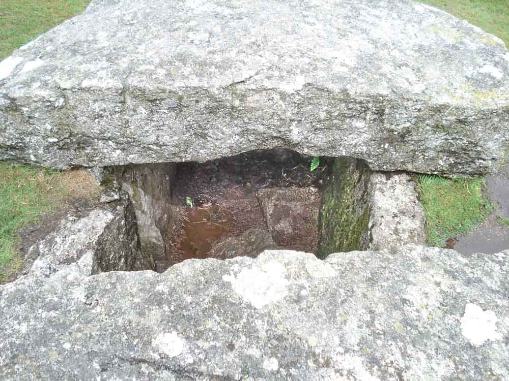
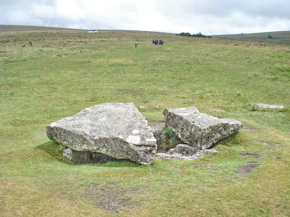
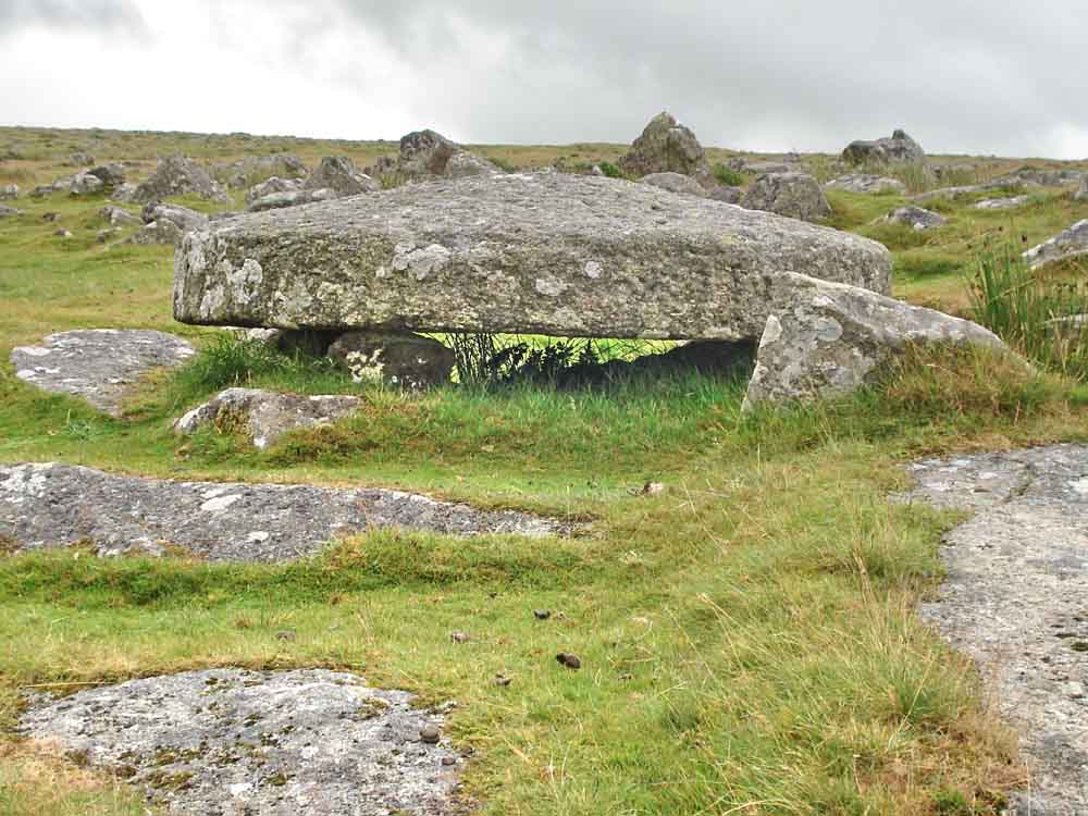
Nearby cist at SX 55482 74761, where someone has taken the mid-section of capstone to make two gateposts .....
A view of the middle area of the capstone where feather and tare marks can be seen clearly .....
Another view, looking back towards Four winds.
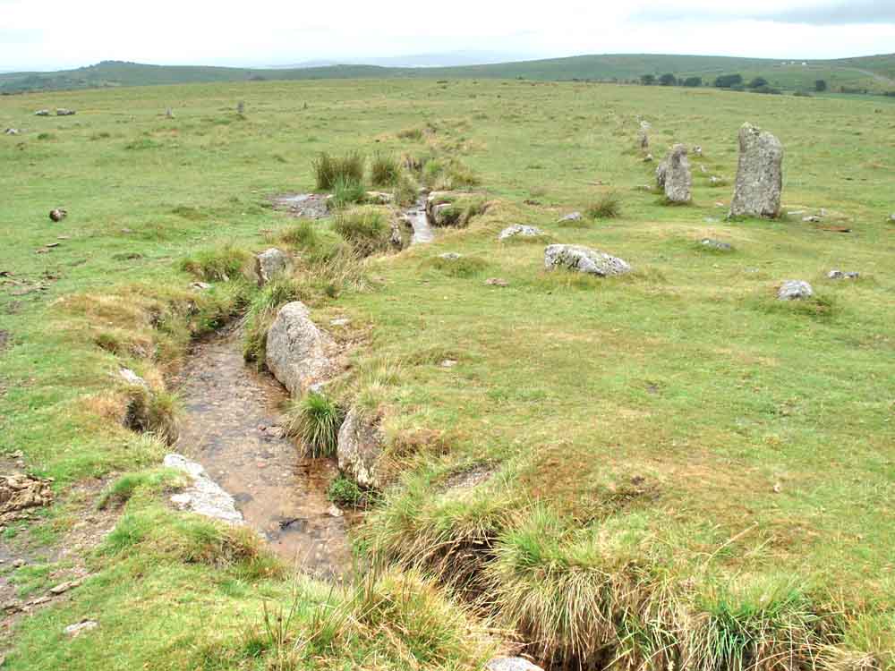
The leat that runs between the two rows.
The round house/hut circle at SX 55505 74898.
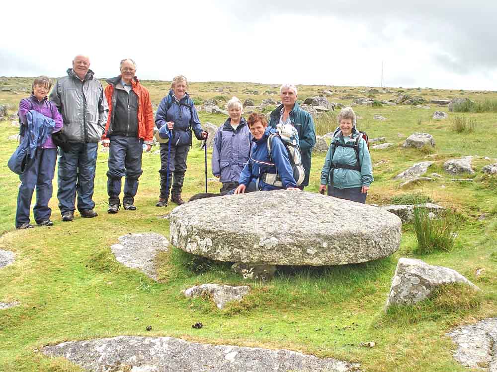
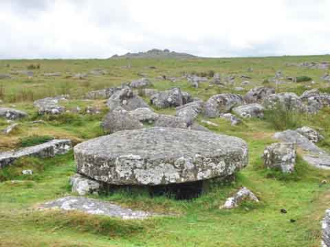
Group photo at a well-finished millstone .....
Looking almost under the millstone .....
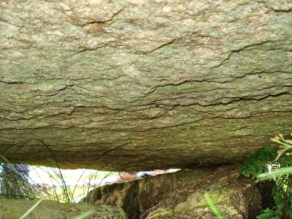
The under surface of the stone, this is almost flat compared to the upper surface .....
 |
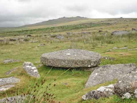 |
| Millstone with King's Tor behind ..... | and with Great Mis Tor behind. |
MAP: Red = GPS satellite track of the walk.
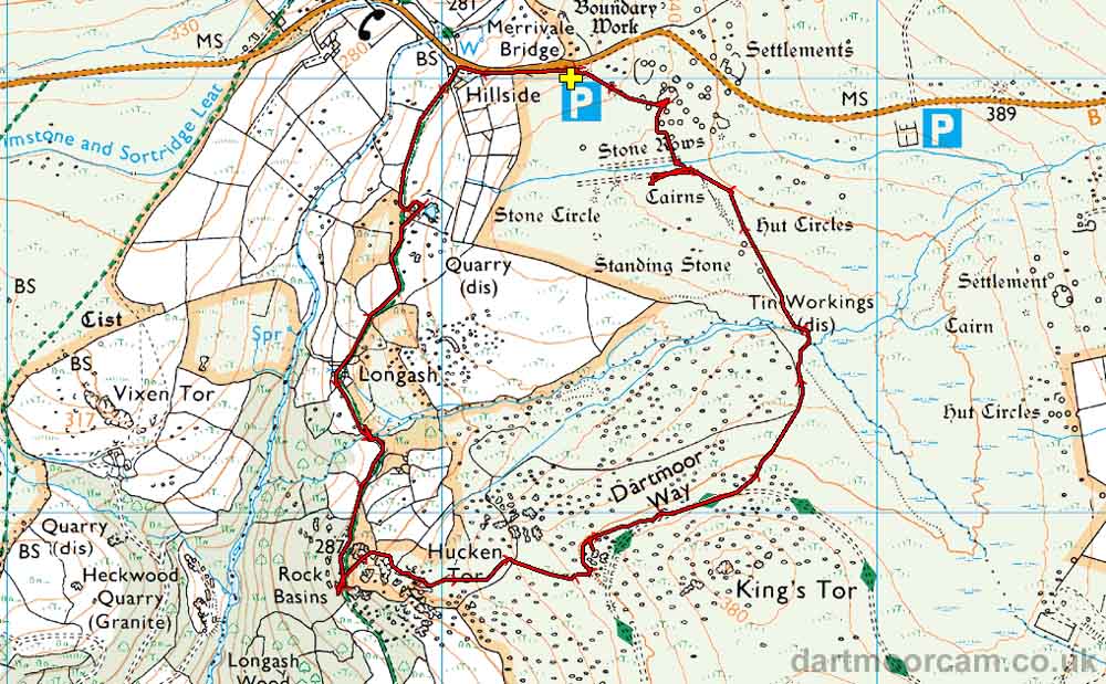
Ordnance Survey © Crown copyright 2005. All rights reserved. Licence number
100047373.
Also, Copyright © 2005, Memory-Map Europe, with permission.
This walk is accessed from the P symbol car park marked with the yellow cross right beside the B3357 at Merrivale, between Tavistock and Princetown.
Statistics
Distance - 4.80 km / 2.98 miles
All photographs on this web site are copyright ©2007-2016 Keith Ryan.