


This walk: 2010-7-8. Shipley Tor, Avon Filtration Station, tramway granite setts, Avon valley, Eastern White Barrow cairn, Western Wella Brook, Bronze Age settlement, tin diggings, Rider's Rings, Black Tor, reeve, old naphtha and china clay buildings at Shipley Bridge.
This walk started as Walk 13: Ryders Rings and Black Tor (Avon) in the Peter Tavy book, Walk Dartmoor, but it then deviated to visit Eastern White Barrow.
Walk details below - Information about the route etc.
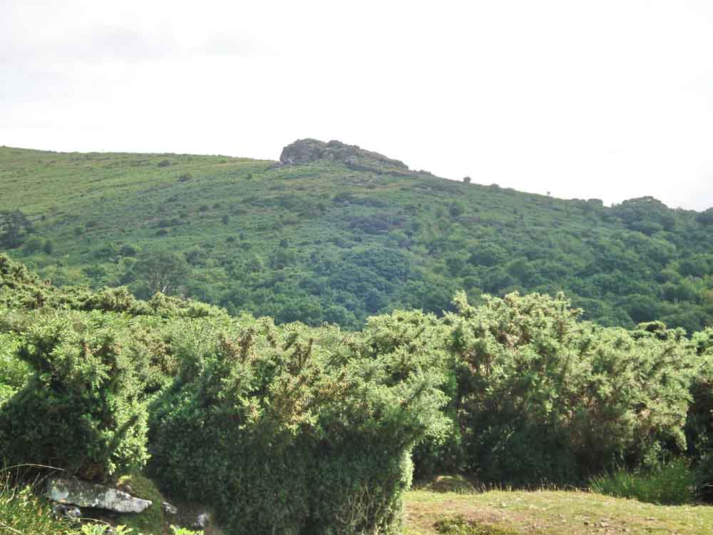
Shipley Tor, SX 6851 6319, elevation approx. 297 metres (974 feet). The tor is not easy to photograph against the the sky (as will be seen in later photos) because it is not particularly high. This image (as with a later one) was taken from the slope below the water filtration works.
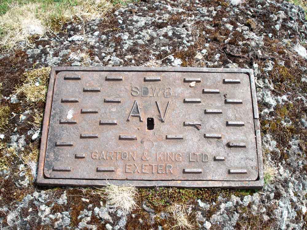
A cover near the water works, SDWB - South Devon Water Board?
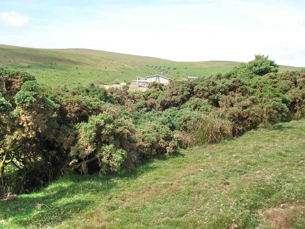
The Avon Filtration Station.
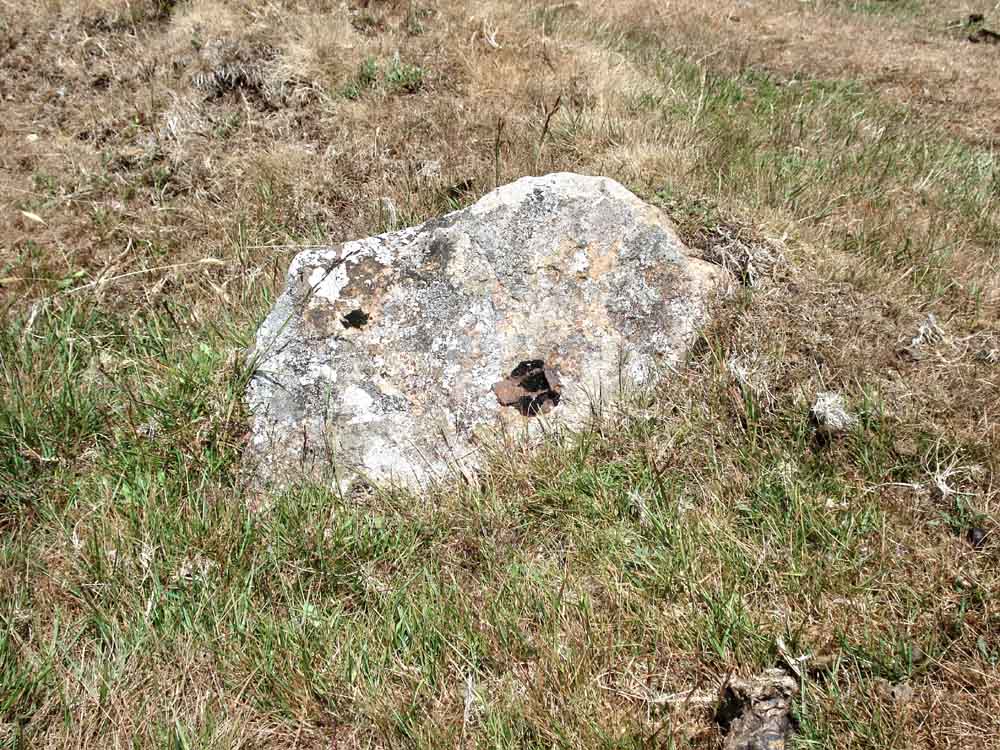
A granite sett along the old wooden trackbed of a tramway laid in 1846 to brought tin/clay down from the high moor to Shipley Bridge. It still contains the remain of an iron nail .....

As previous photo .....
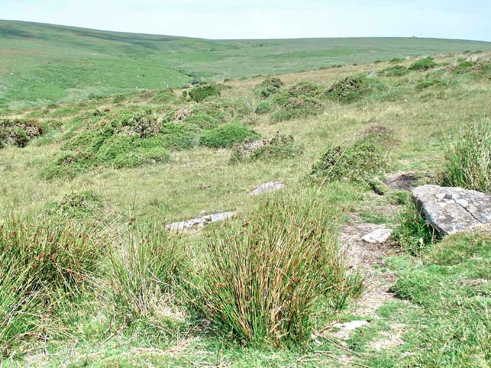
General view looking north along the old tramway to the Avon valley, the previous two stones can be seen towards the bottom right.
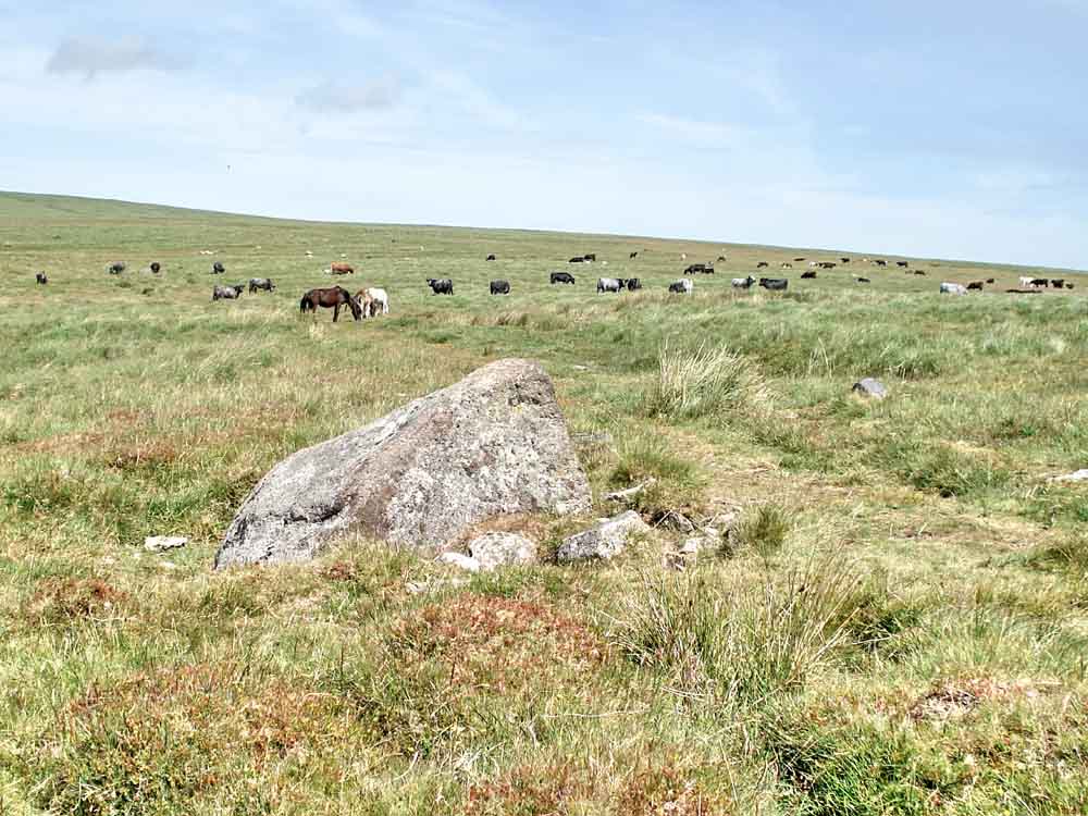
The pointed stone (labelled "PointyStone" on the map below) where the planned route deviates away from the track, to the right.
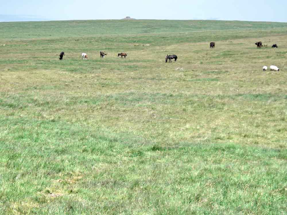
Zeal Plains, a featureless area, looking north to Eastern White Barrow cairn, 1.1 km distant from this point, then we decided to go there as a diversion .....

Eastern White Barrow, an impressive arrangement of stones, SX 6654 6516, elevation 476 metres (1561 feet) .....

Looking towards Plymouth Sound from Eastern White Barrow .....

Looking north from Eastern White Barrow ..... a very isolated tree in an old farmstead in the valley of the Western Wella Brook with Huntingdon Warren and Barrow to the upper left ..... and a Bronze Age settlement at bottom right .....
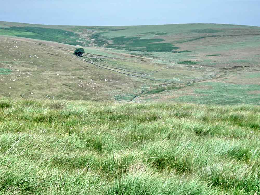
A zoomed view of the old farm .....
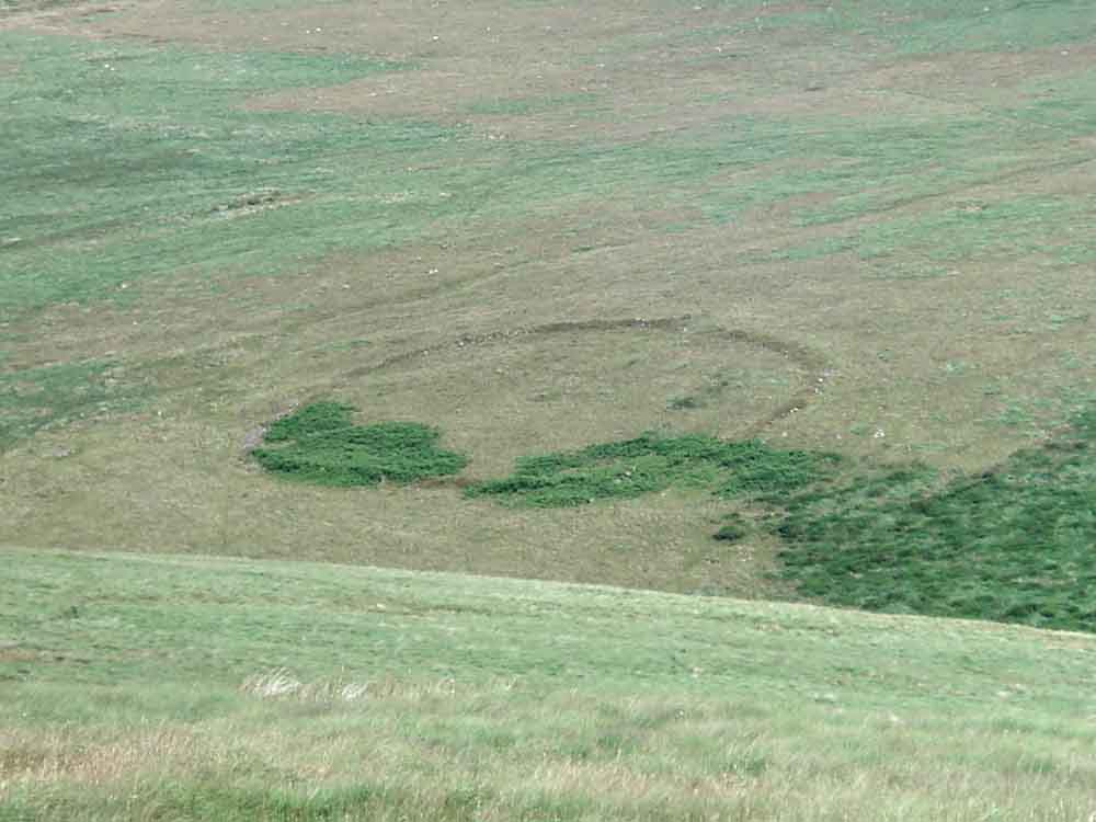
A zoomed view of the Bronze Age settlement.
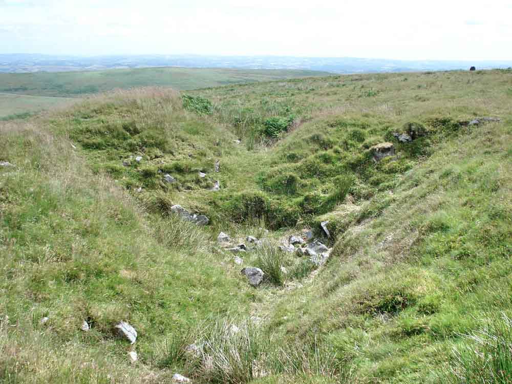
Old tin diggings near the cairn on Eastern White Barrow.

The perimeter wall at Rider's Rings (as spelt on the OS map). This was described in the book as being a larger settlement than Grimspound (visited last week), with 34 hut circles (the "rings"), in a more remote setting and with fine views. It was disappointing because it was overgrown by a sea of bracken: compare the following map for archaeological detail and the aerial image below it .....
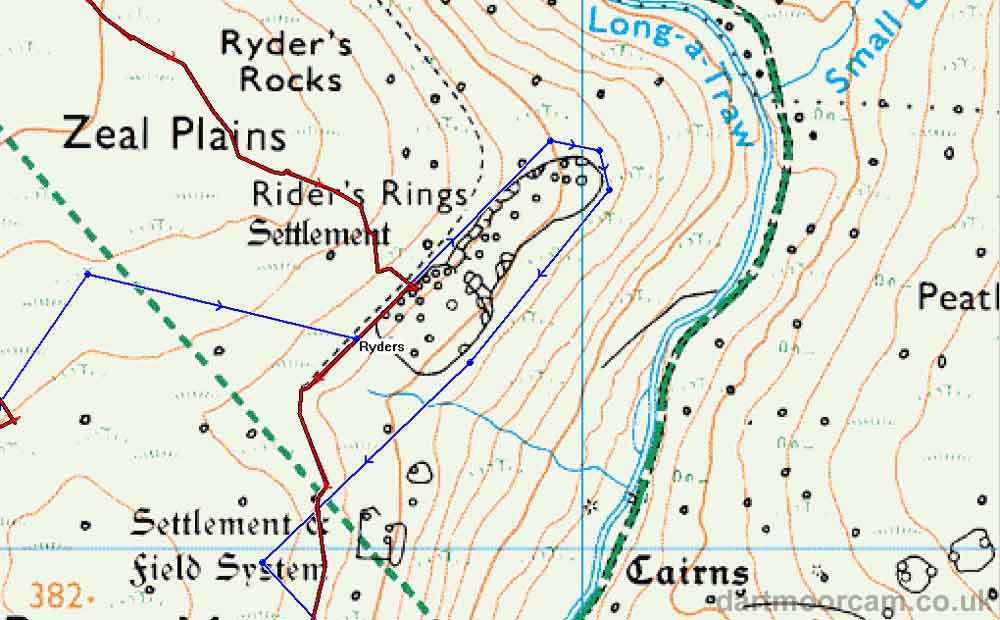
Ordnance Survey map showing the detail at Rider's rings .....
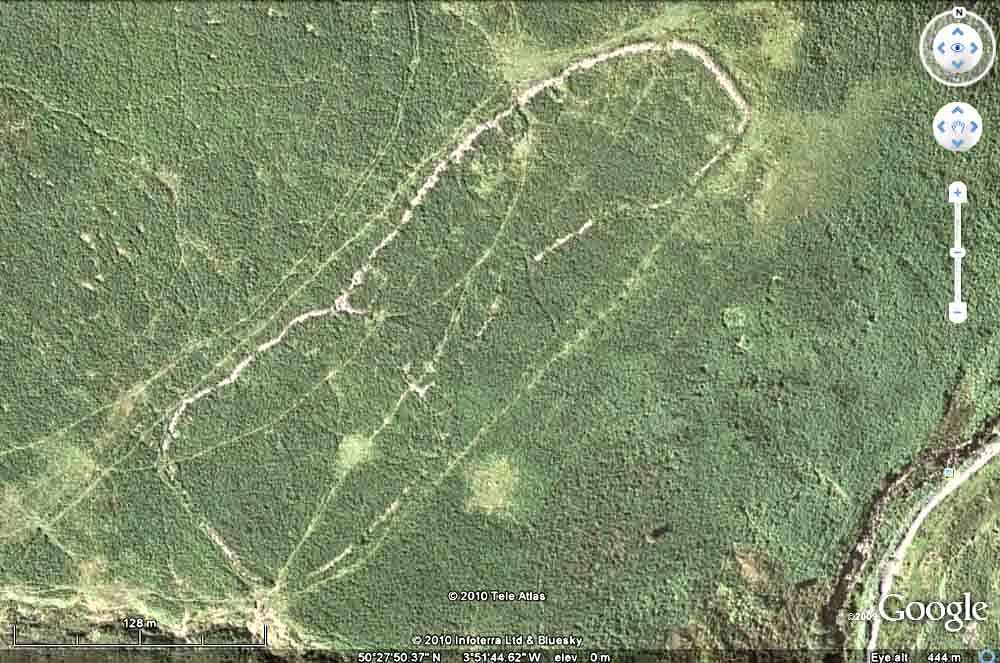
GoogleEarth image showing the sea of bracken - hardly a single "ring".

View from the heights of Brent Moor/Zeal Hill down into the Avon valley showing the tarmac road up to the dam: the river is in the undergrowth to its left.
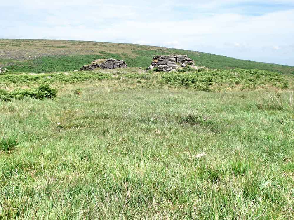
Approaching Black Tor, the nearer, taller pile was GPS located at SX 68052 63488 � 2 metres, elevation approx 320 metres (1050 feet).

Interesting granite formation.

Looking from the highest part of Black Tor to a slightly lower rock pile.
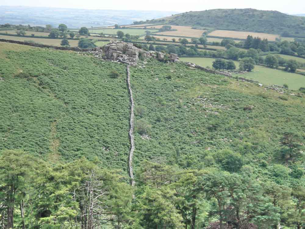
Looking from Black Tor across to Shipley Tor with an old stone wall running down into the valley.

Altocumulus (separate) and altostratus (layered) clouds, medium height 2,000-6,000 metres.

SatMap Man.
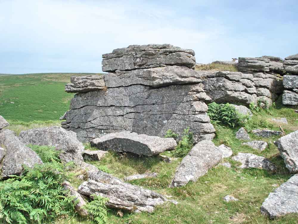
Another place, another view, another rock .....

Leaving Black Tor.
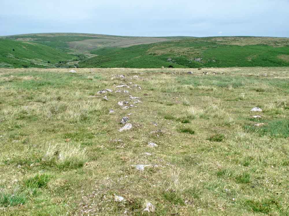
A corner in an ancient reeve.
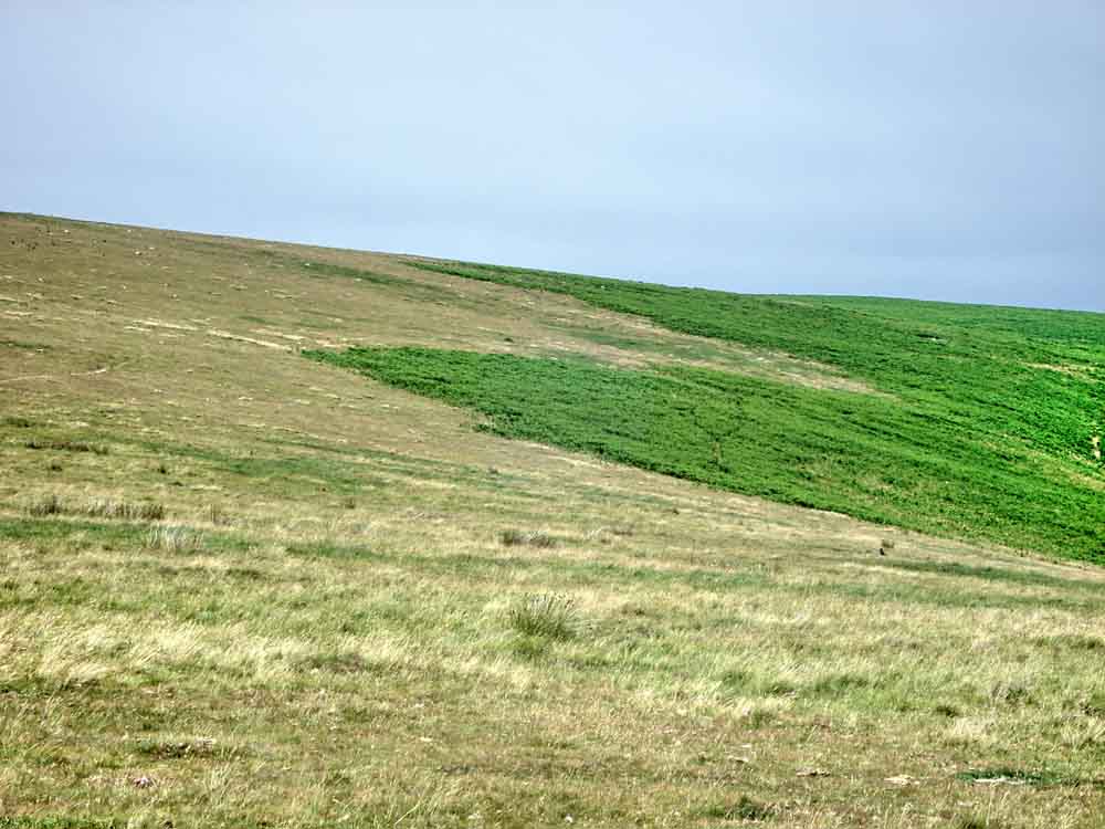
Looking back in the direction of Rider's Rings to show the extent of the bracken .
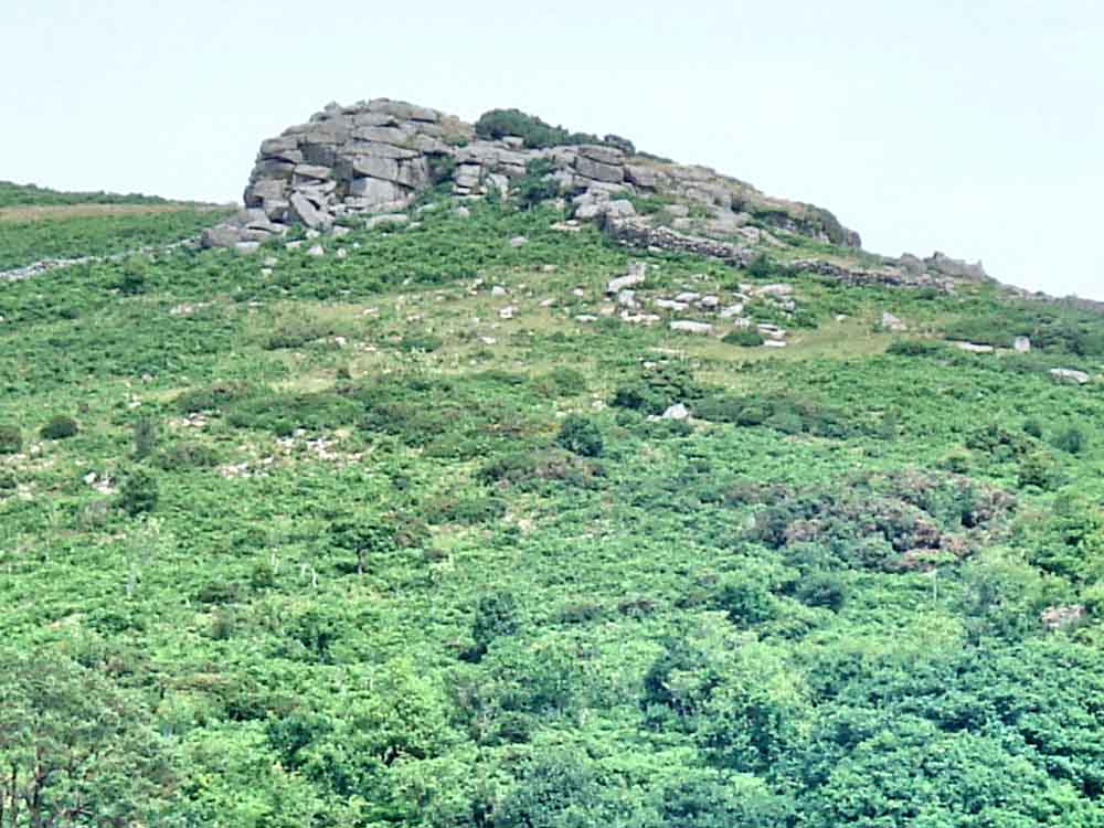
Zoomed view to Shipley Tor, again from the slope near the Avon Filtration Station.
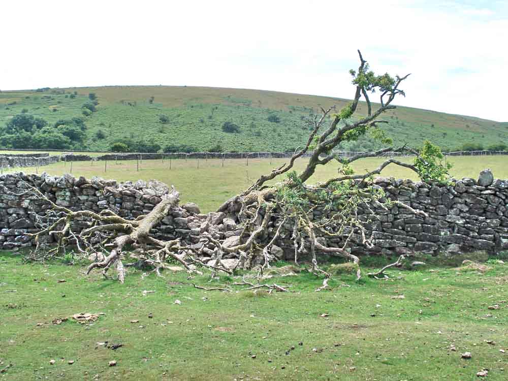
Dry stone wall damaged by a fallen tree.
Disused buildings at Shipley Bridge car park: "There was another naphtha works at Shipley Bridge, here the peat was taken from the Redlake area and transported to the works via the Zeal tor tramway in horse drawn trucks. This venture lasted from 1846 to 1850 ....." (source: Legendary Dartmoor - Dartmoor Peat page). Also "In 1877 the naptha buildings at Shipley were reused for processing china clay from Bala Brook head. This venture also failed ....." (source: Dartmoor Walks - Western White Barrow). Click here or on the photo to see a larger version.
MAP: Blue = planned route, Red = GPS satellite track of the walk. The track below shows a 1+ km diversion (each way) to visit Eastern White Barrow.
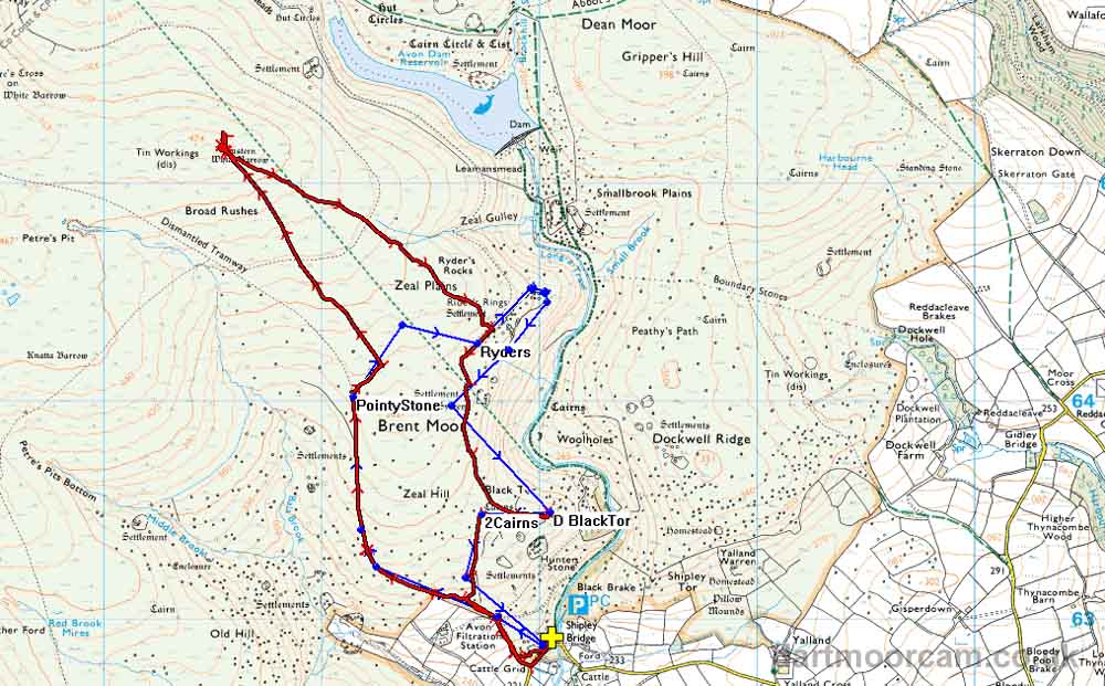
Ordnance Survey © Crown copyright 2005. All rights reserved. Licence number
100047373.
Also, Copyright © 2005, Memory-Map Europe, with permission.
The car park is at Shipley Bridge at the yellow cross / P symbol. Access is best from the A38 turn-off at the junction named "Marley Head" where the A385 goes to Avonwick, Totnes & Paignton. Drive north from the junction onto the moor. At the first junction (Harbourneford Cross) go straight across the cross roads using the left road (there is a smaller road across to the right - ignore it). Follow this narrow lane with passing places uphill until it bends SHARP left (this is Gingaford Cross). Follow this road (ignore a road to Lutton, off to the left) until you come to a picturesque spot with a tiny bridge. Go over the bridge and turn right into the car park.
Statistics
Distance - 8.23 km / 5.1 miles
Start 10.13 am, Finish 2.14 pm, Duration 4 hr 1 min
Moving average 3.6 kph / 2.25 mph; Overall average 2.0 kph / 1.25 mph.
All photographs on this web site are copyright ©2007-2016 Keith Ryan.