![]()


This walk: 2010-8-11. Billy Bray (Methodist preacher), Tavy Cleave, old milk churns, Old School House, Hill Bridge Weir, Hill Bridge Leat or Wheal Friendship Leat, Creason Wood, waterwheel, River Tavy, Common, English or Pedunculate oak, sycamore, sluice, Woodland Trust, Black Tor, leat, Herb-Robert, hazel nuts, meadowsweet, red campion, old tin miners' cottage, house martins, farm yard, Methodist chapel, burial ground, hay meadow, monkey puzzle tree.
Walk details below - Information about the route etc.
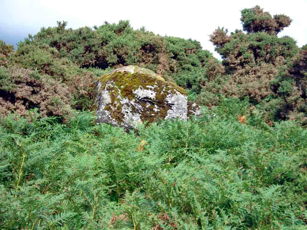
The rock (SX 52270 80818) from which Billy Bray, Methodist minister, preached to the sinning miners of the area ..... see Mining in Mary Tavy for information about mining in the area.
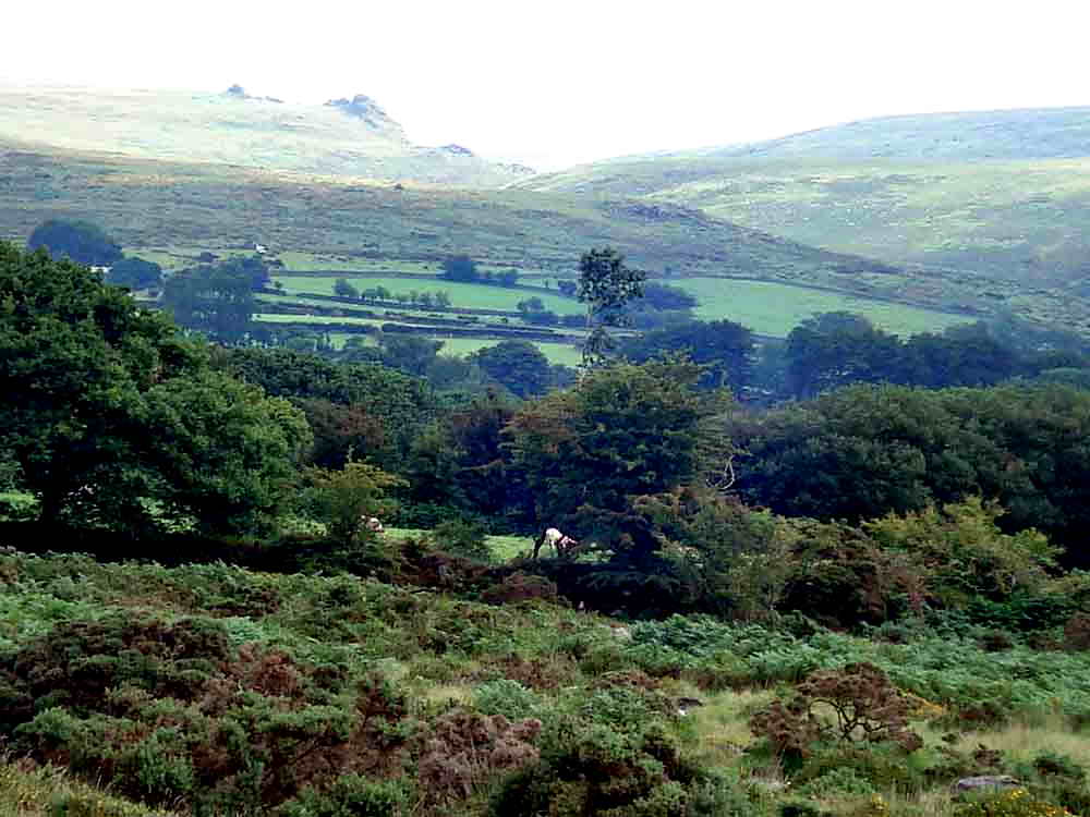
View to Tavy Cleave, with Hare Tor at left and Ger Tor more prominent.
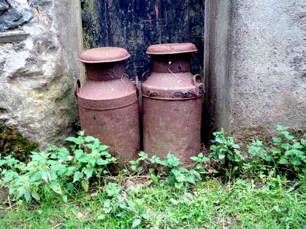
The old milk churns were always left out for collection in pairs, because one good churn deserves another, we were told,!
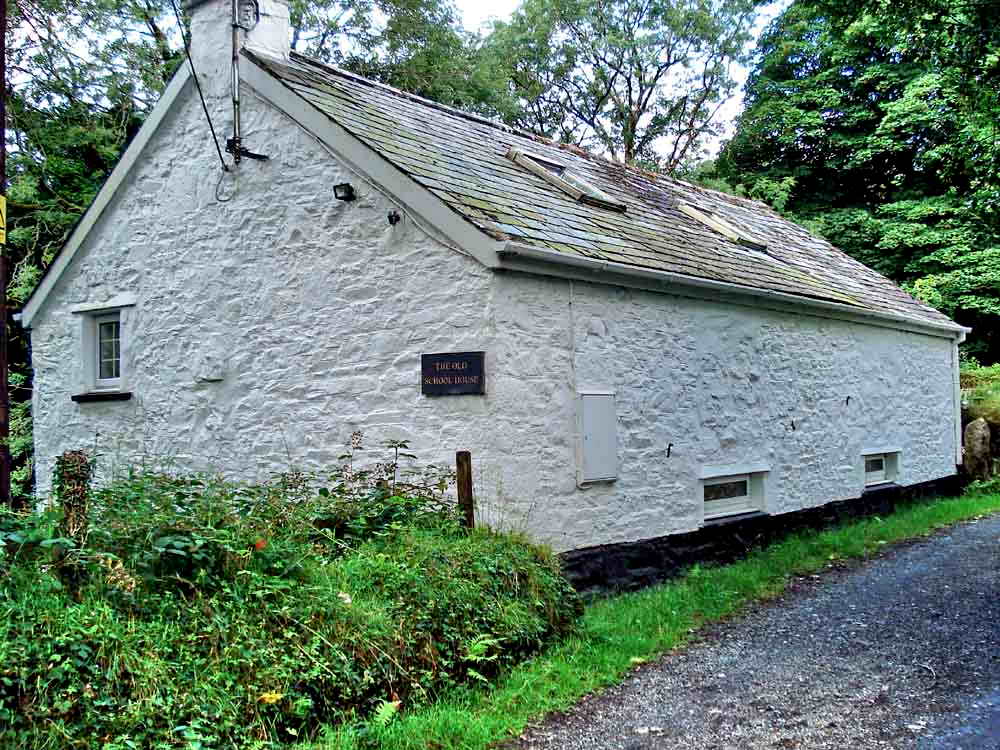
"The Old School House"
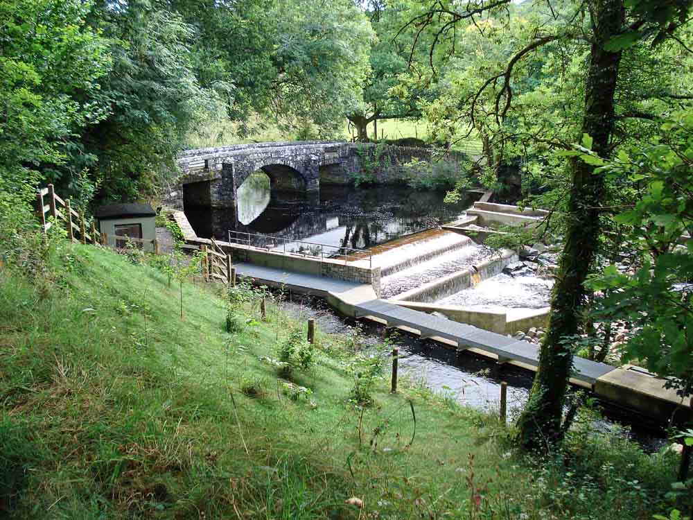
Hill Bridge Weir, SX 5319 8038 ..... this is where the Hill Bridge Leat or Wheal Friendship Leat begins and runs through Creason Wood .....
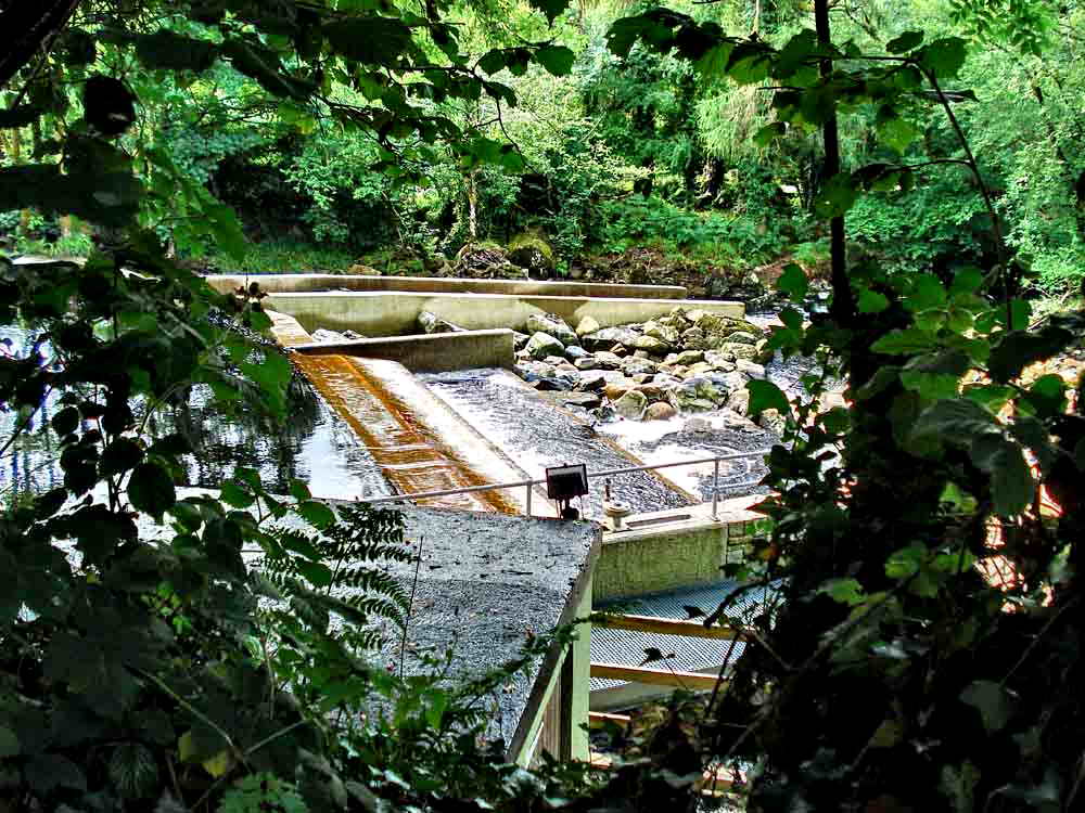
A closer view .....
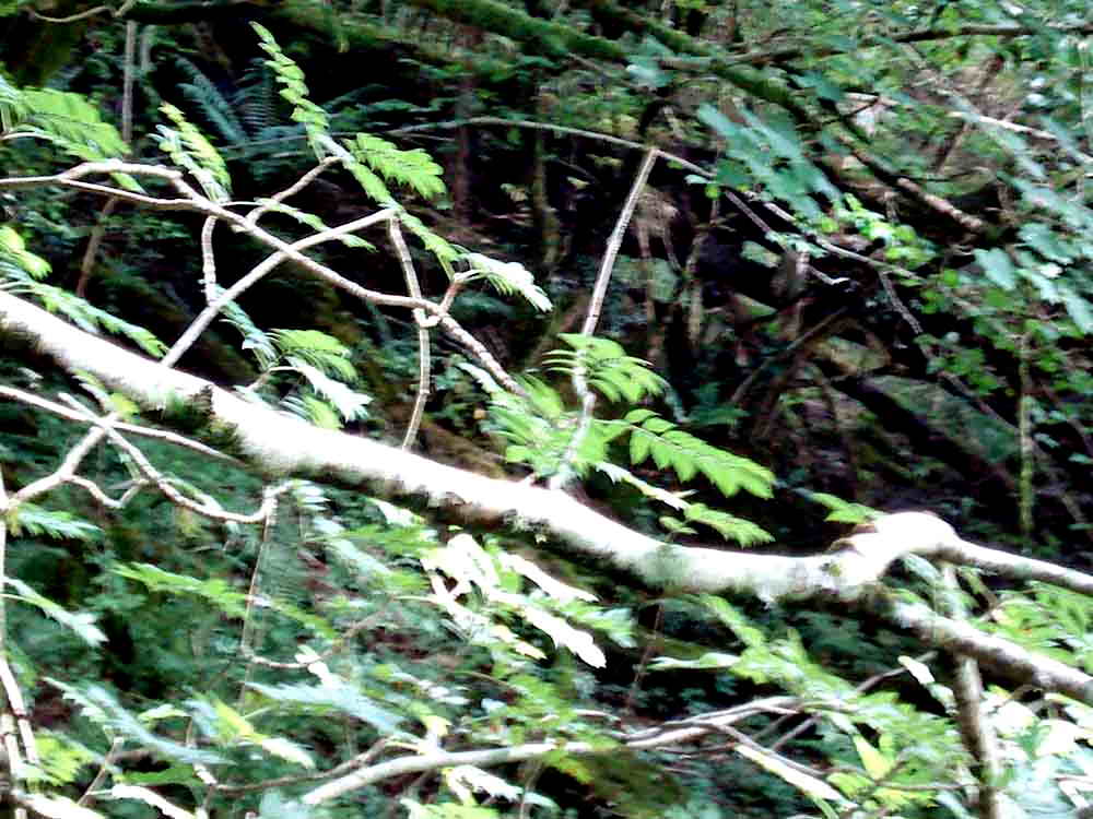
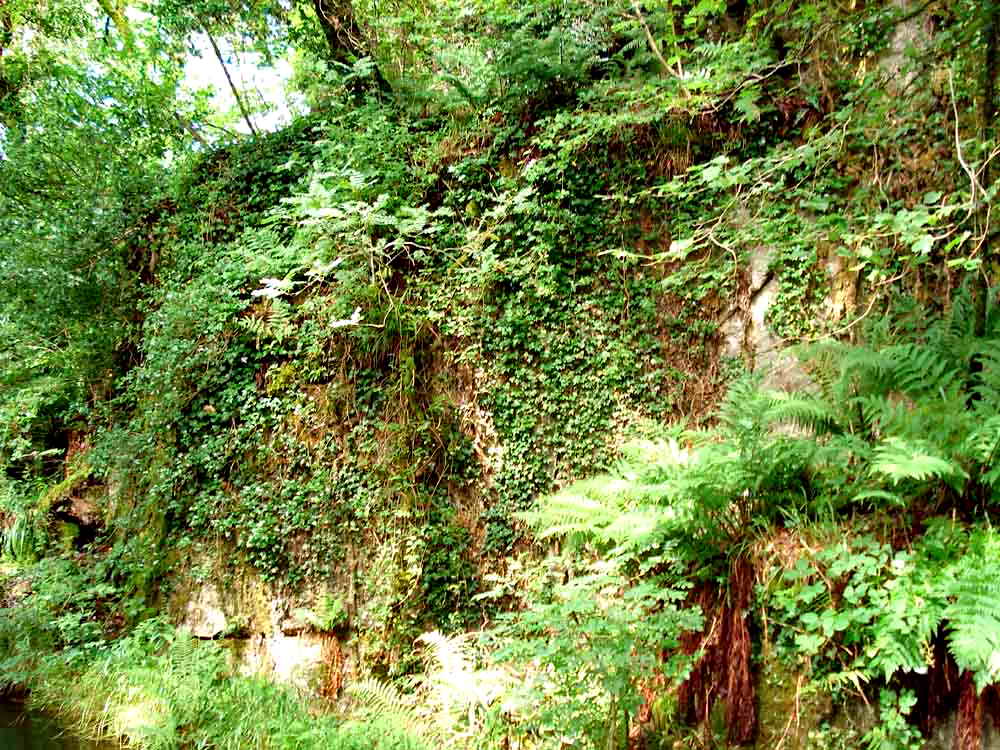
Hidden in the undergrowth, and best seen in Autumn/Winter when there are no leaves, are the remains of a 40-foot water wheel .....
Looking down the River Tavy from the road bridge, the river beaten only for fast flow rates by the River Spey in Scotland .....
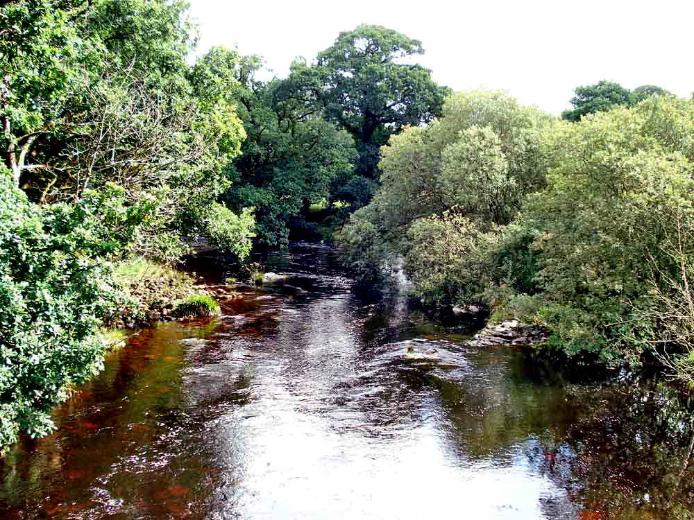
Looking up the river .....
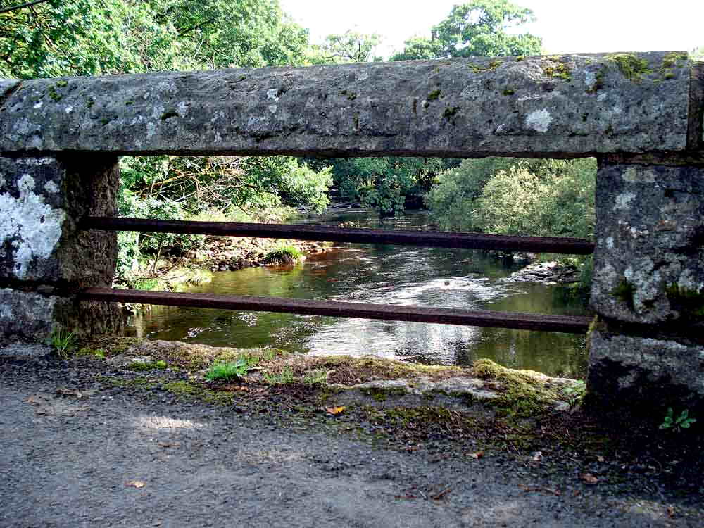
Looking through one of the two structures visible in the first photograph of the bridge above, these are drainage structures in the walls of the bridge ..... there are two on each side. After heavy rain, the river level can rise seven feet in an hour .....
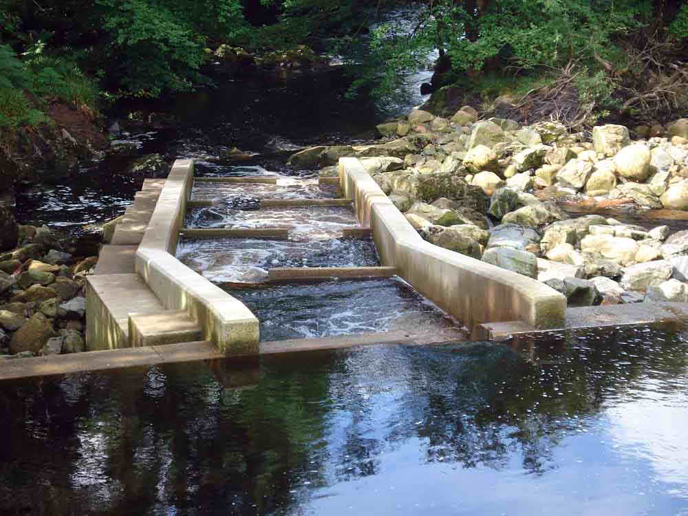
The salmon ladder to enable salmon to get over the weir and up towards the headwaters where they breed. The weir is the take-off point for a large leat that runs a long narrow reservoir (once a tinners gert) above Mary Tavy and then piped to the Mary Tavy water-driven power generating station.
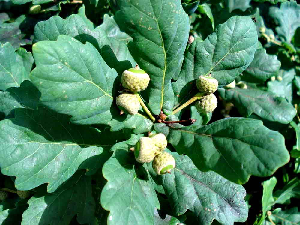
Common, English or Pedunculate oak, Quercus robur. The flower and acorn are on a stalk called a "peduncle" whereas on the sessile oak, Quercus petrea, they are borne directly on the twig. In this oak, the leaves have small basal lobes where they join the stalk and these can be seen in one leaf - just above the group of three acorns .....
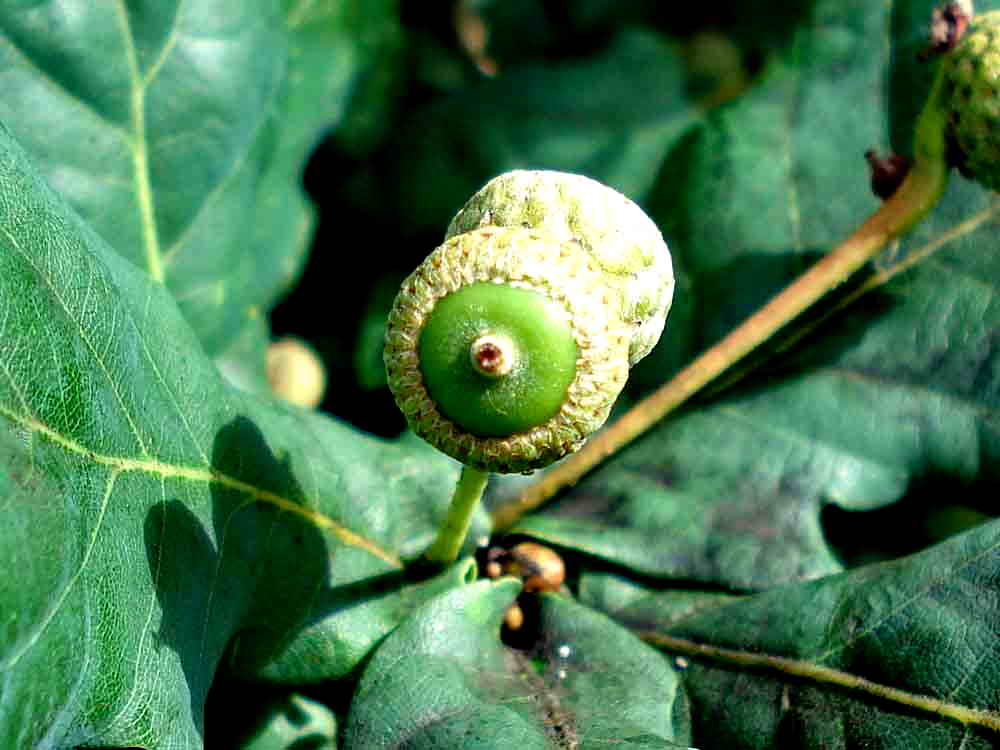
Two stalked acorns.
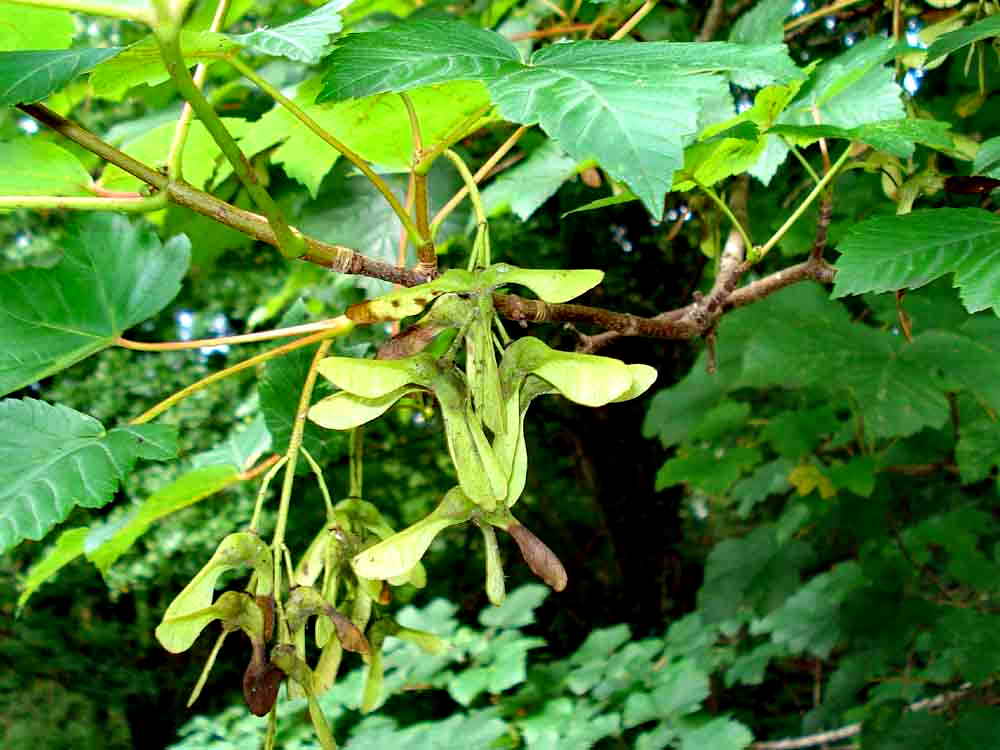
Sycamore, Acer pseudoplanatus, seeds.
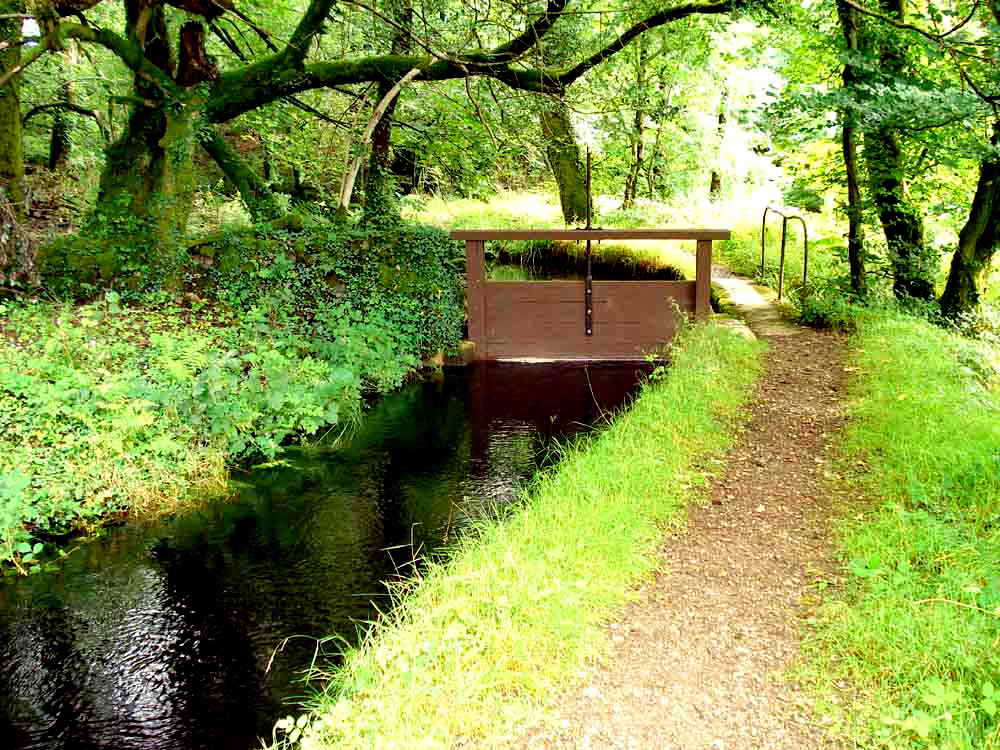
A large sluice valve, this can divert water through a side-channel, over which there is a footbridge, so that excess water is channelled back down the hillside to the river.
Notice seen en route.
Black Tor, not easy to climb!
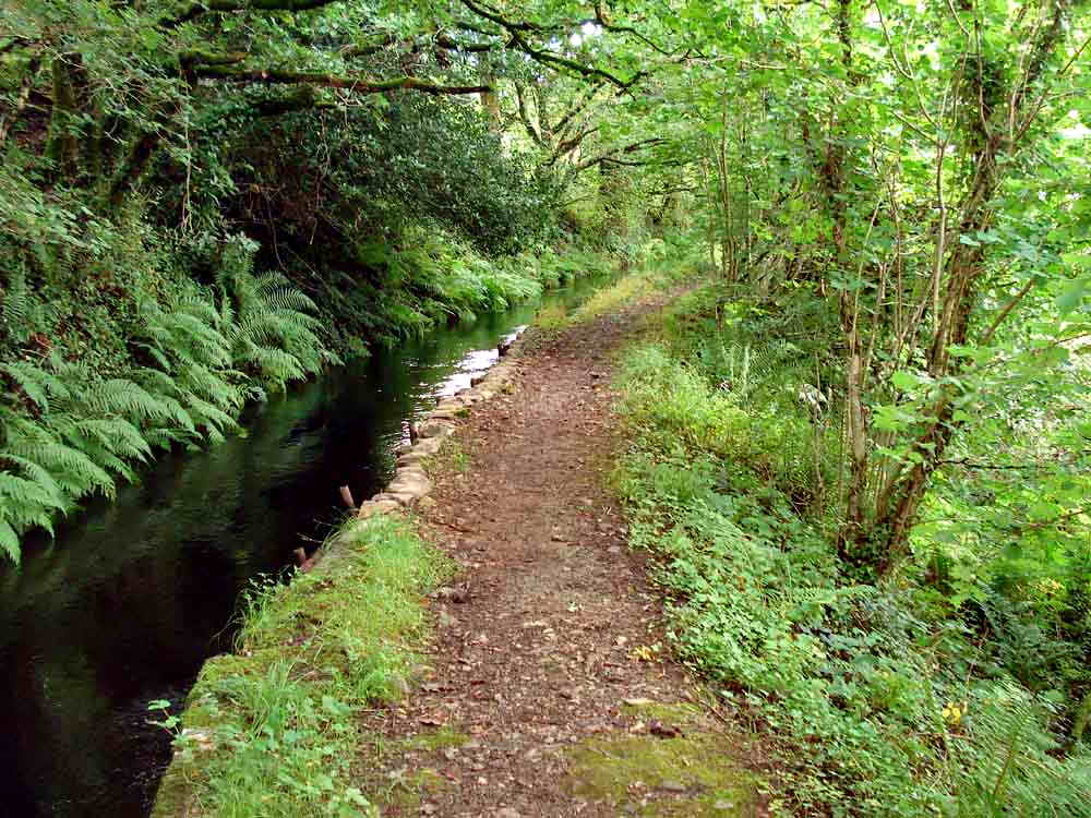
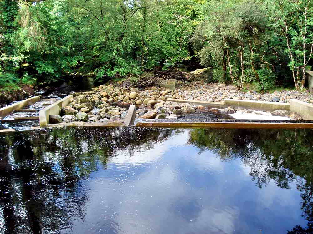
General view of the leat running through the wood.
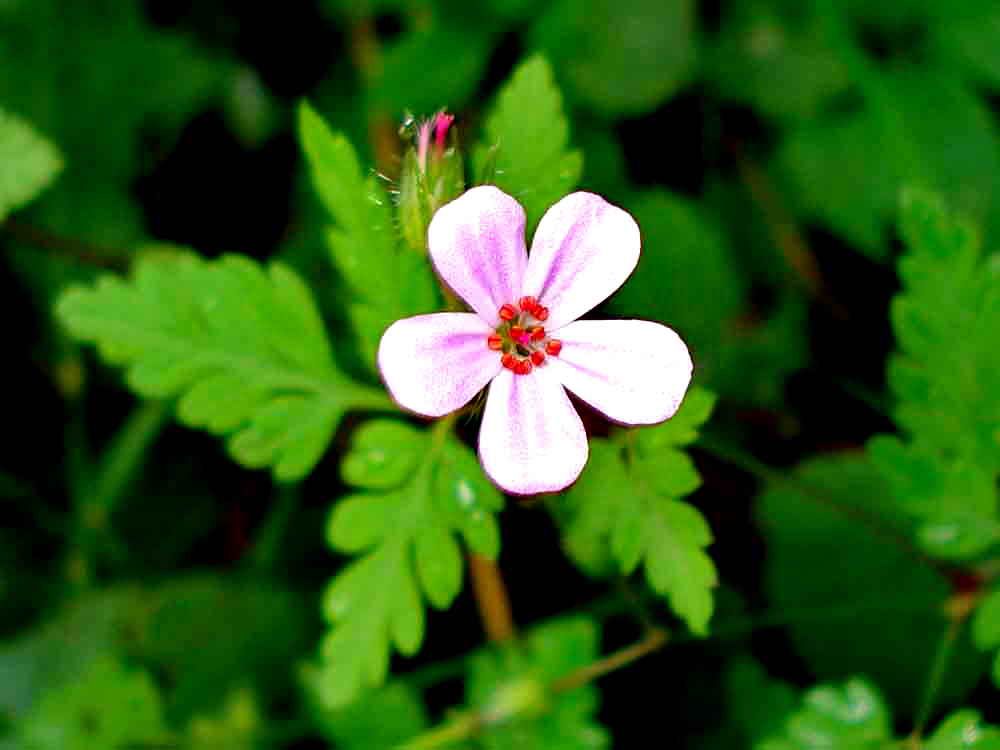
Herb-Robert, Geranium robertianum, in the woods.
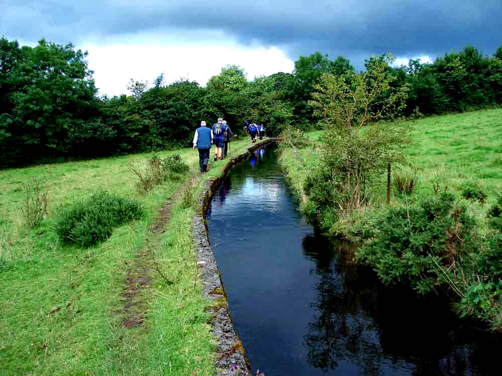
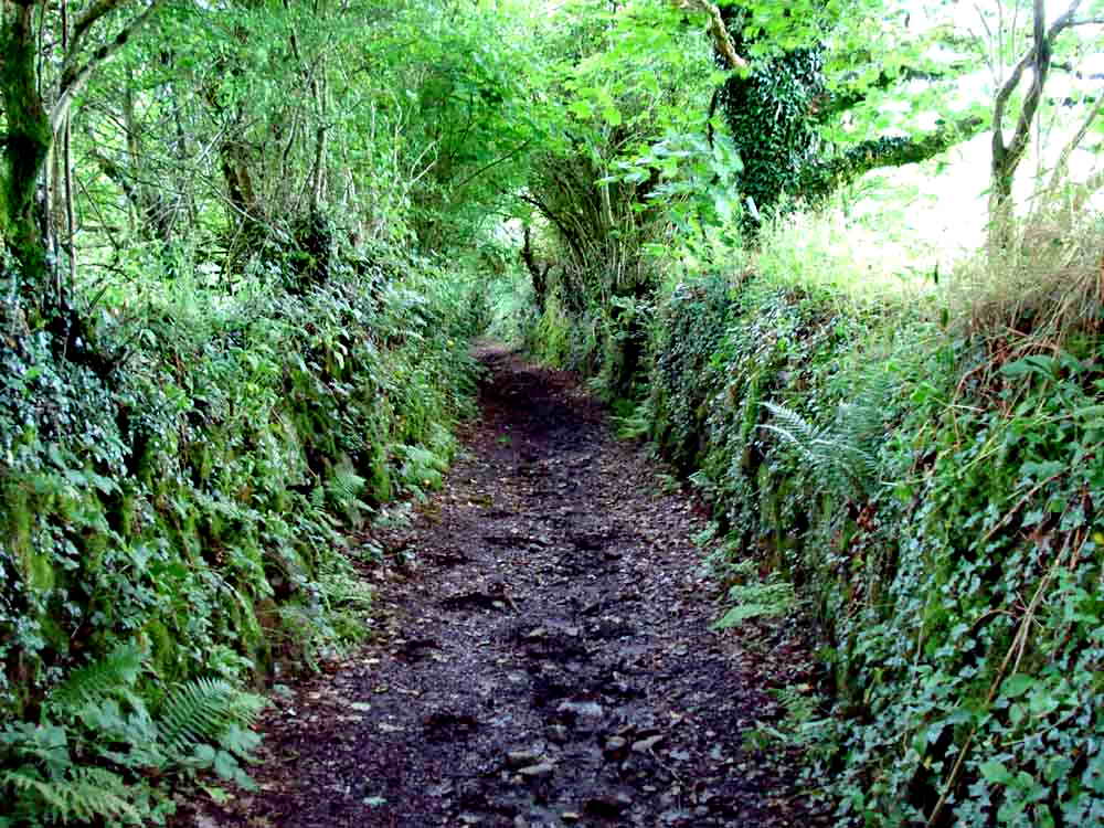
We had quite a long stretch beside the leat ..... note the chunky bridge .....
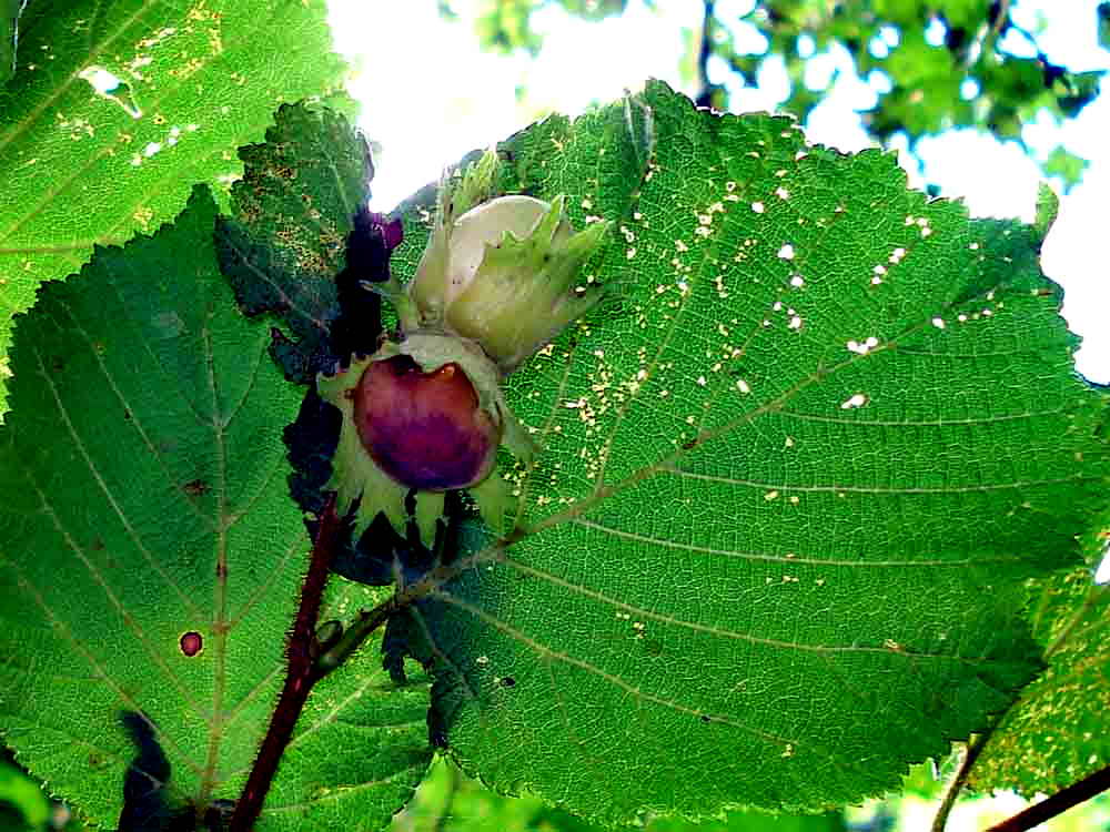
Hazel nuts ripening, Coryllus avellana.
Meadowsweet, Filipendula_ulmaria.
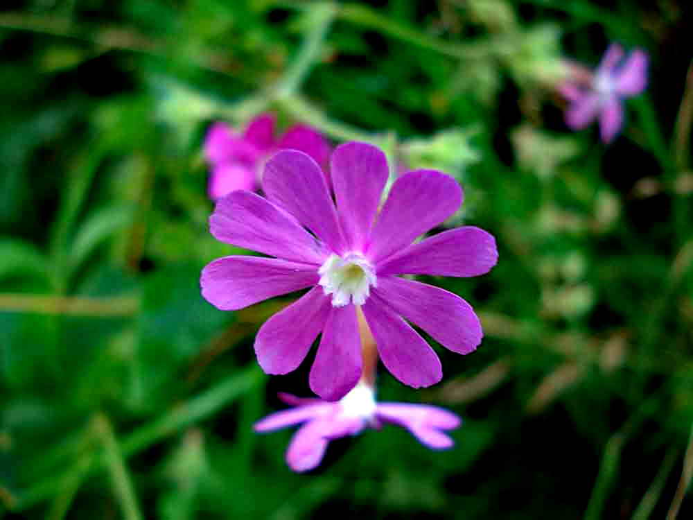
Red campion, Silene dioica.
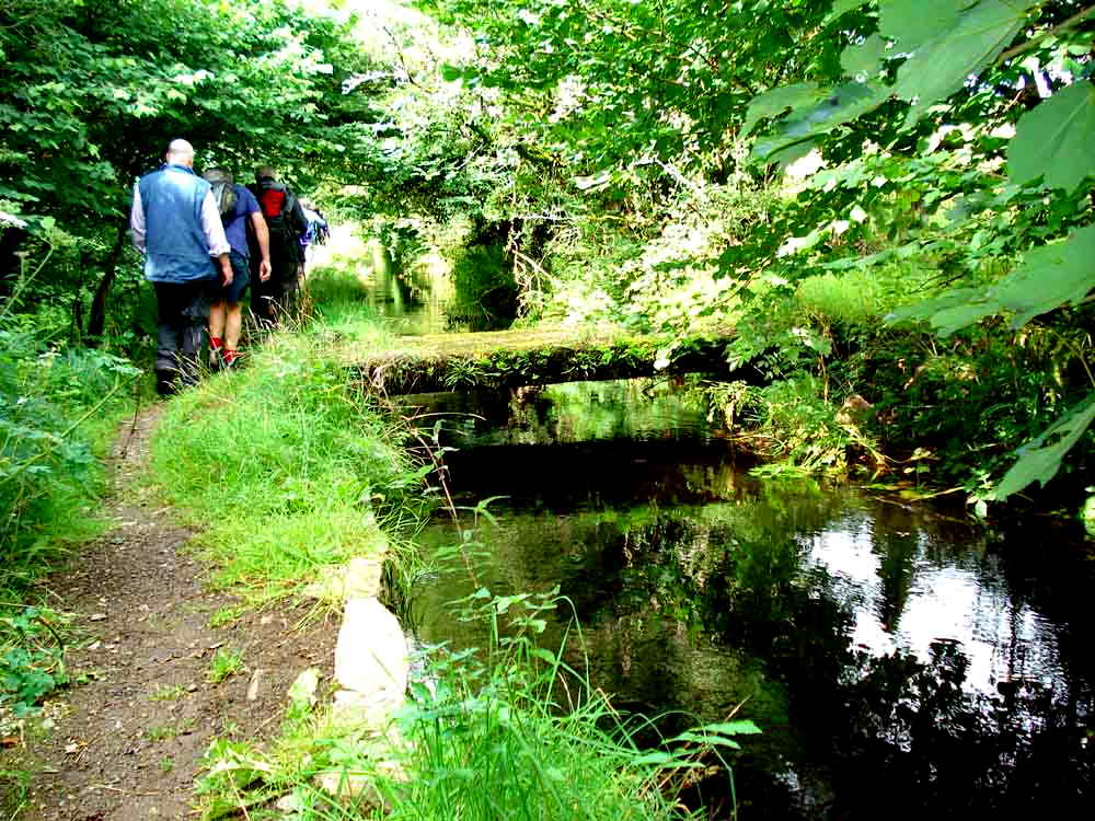
Marching on .....
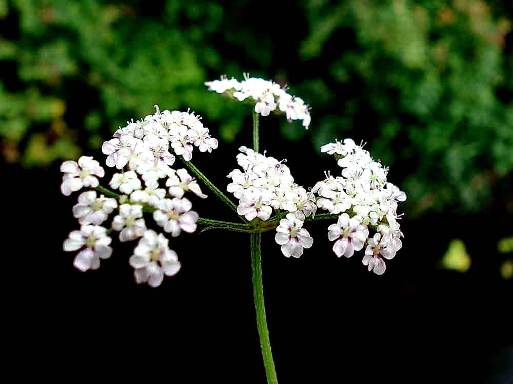
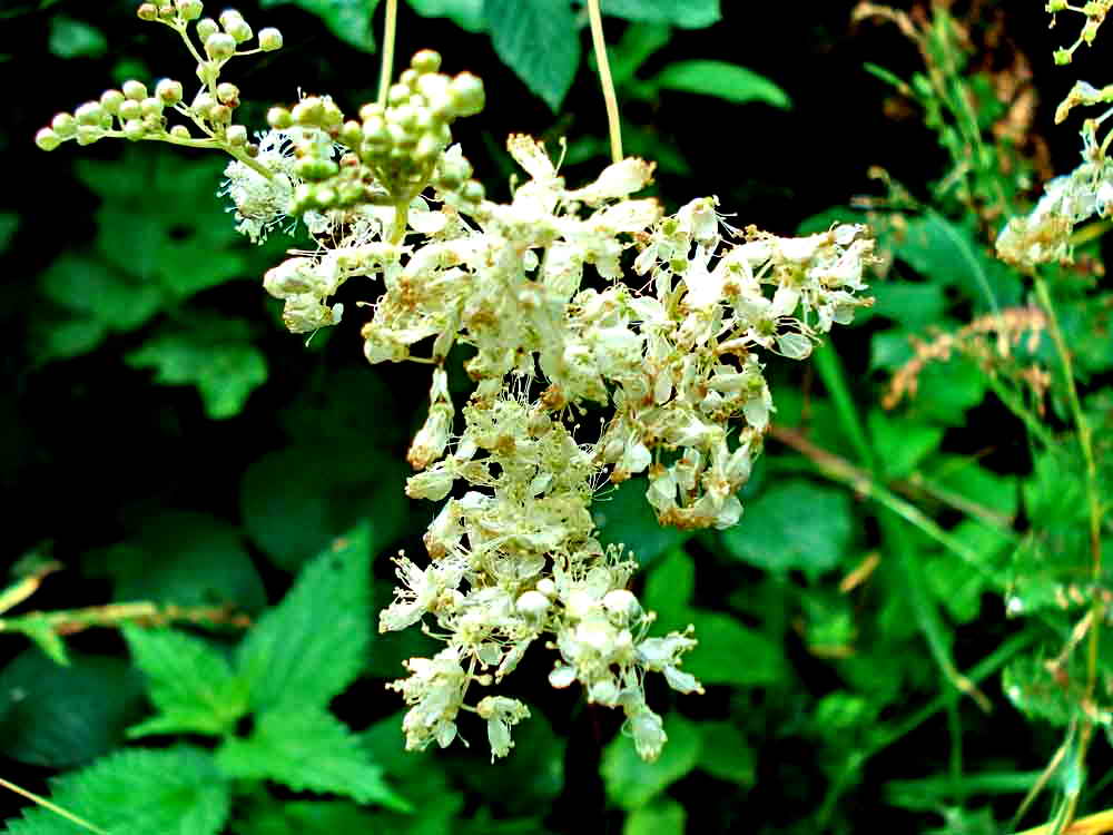
An unidentified flower with a composite corymb that looks like a small, delicate form of cow parsley.
Looking up the track that was once a main road through Horndon from Peter Tavy ..... towards Horndon .....
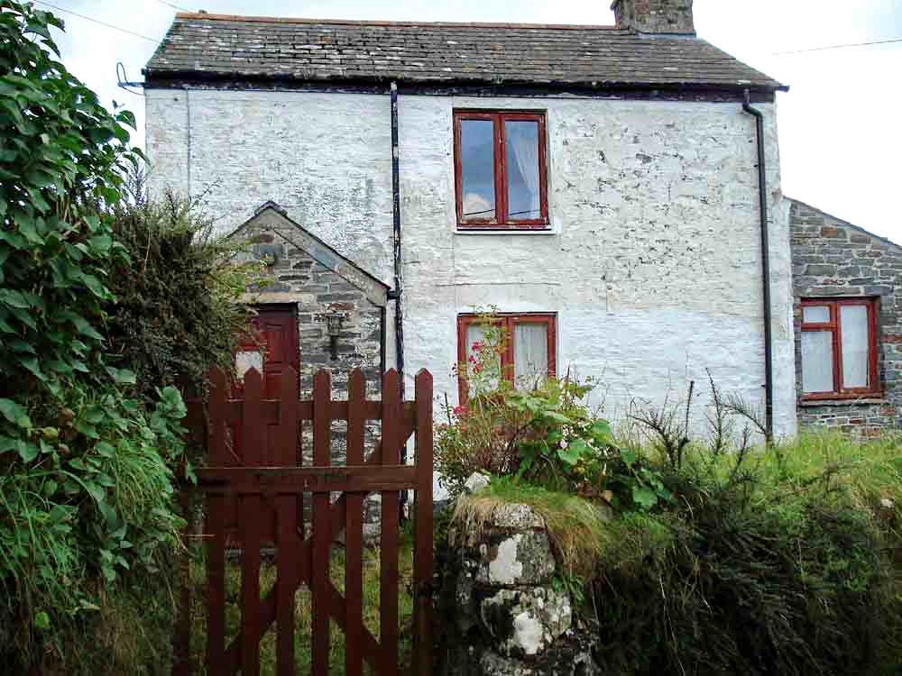
This was once a tin miners' cottage on the south edge of Horndon where the hot-bunk system was practised - one man in, one man out to work.
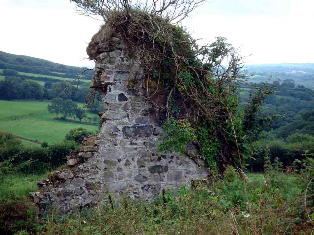
A ruin .....
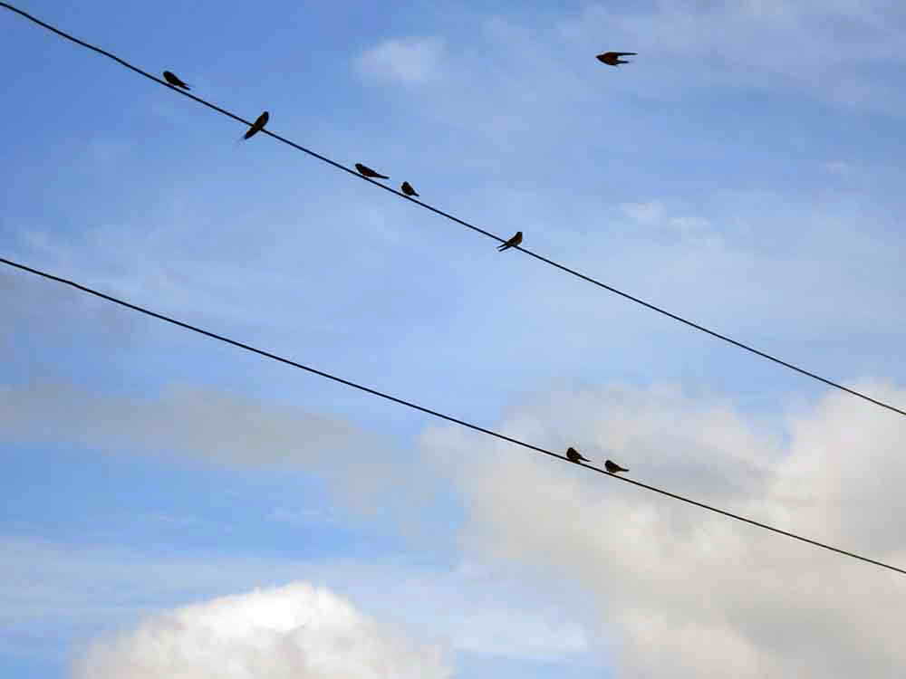
House martins on the wires.
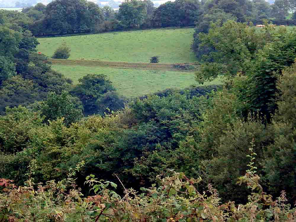
Looking across to the hidden reservoir at SX 515 795 where the leat delivers it water, ready to drive turbines at the power station. Part of the reservoir is shown on the map below, at bottom left corner.
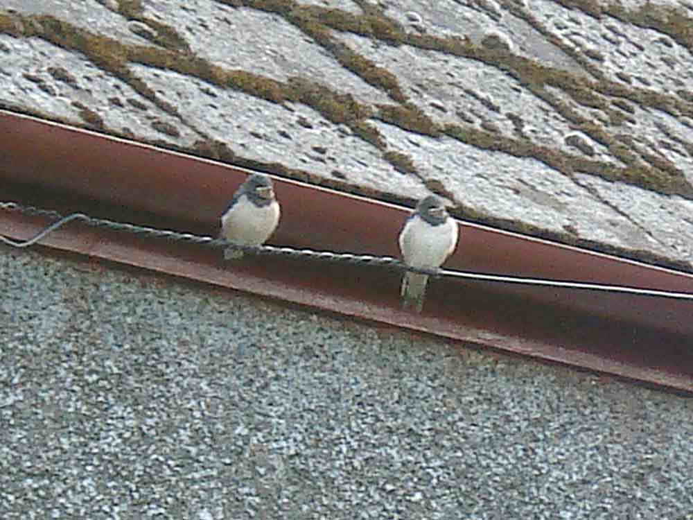
House martins again.
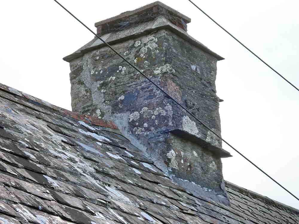
Ledge on the chimney stack as a guide for thatching depth.
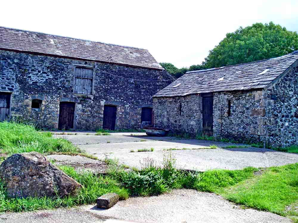
An old Devon farm yard.
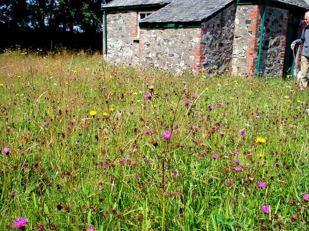
A hay meadow appearance of wild flowers in the burial ground at the Methodist Chapel .....
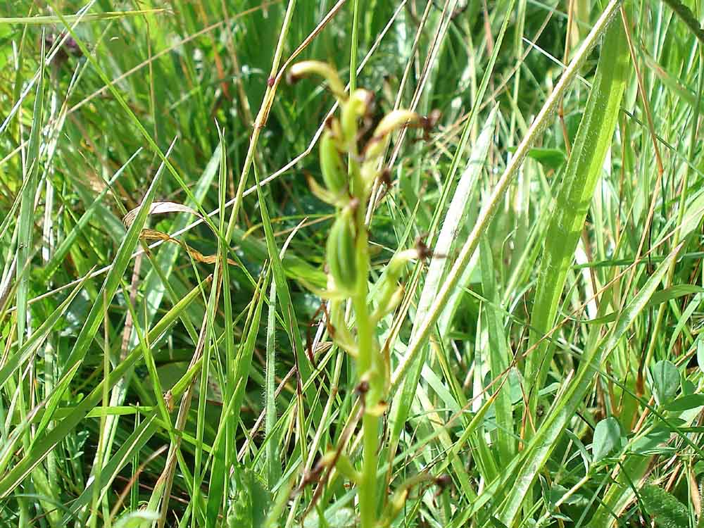
Believed seed head of a flowered orchid, somewhat out-of-focus, the narrow structure has fooled the auto-system of the camera.
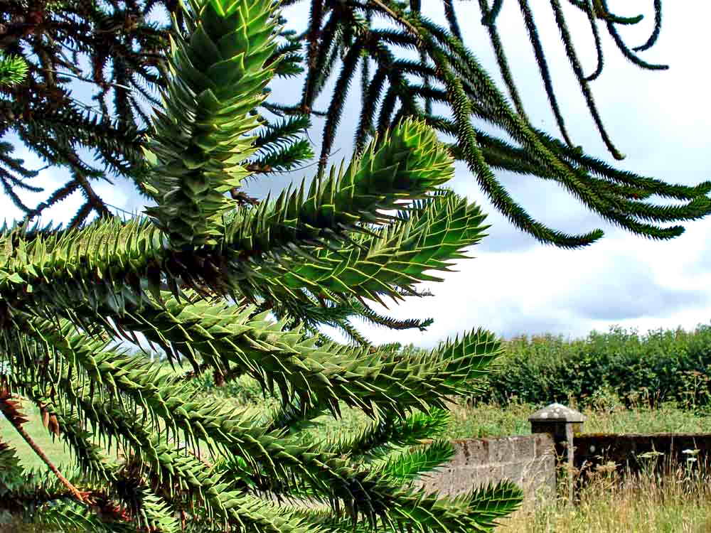
Branches of the monkey puzzle tree, Araucaria araucaria .....
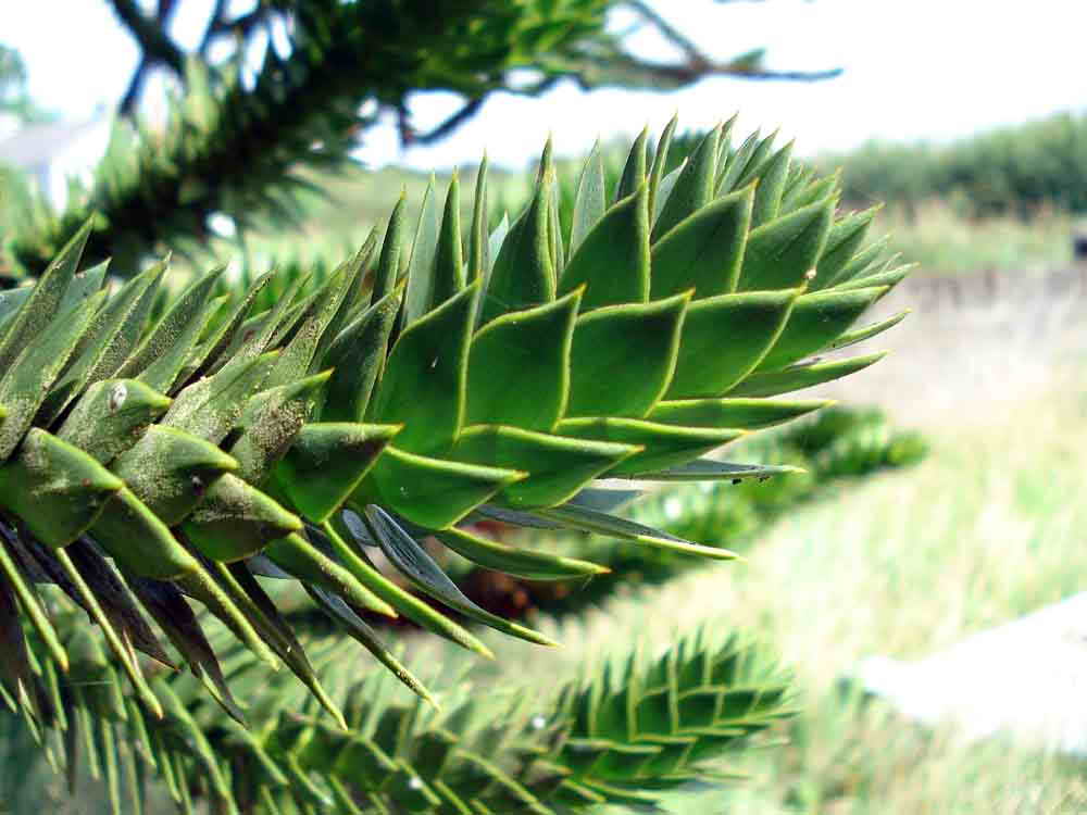
As previous photo, hard, sharp points .....
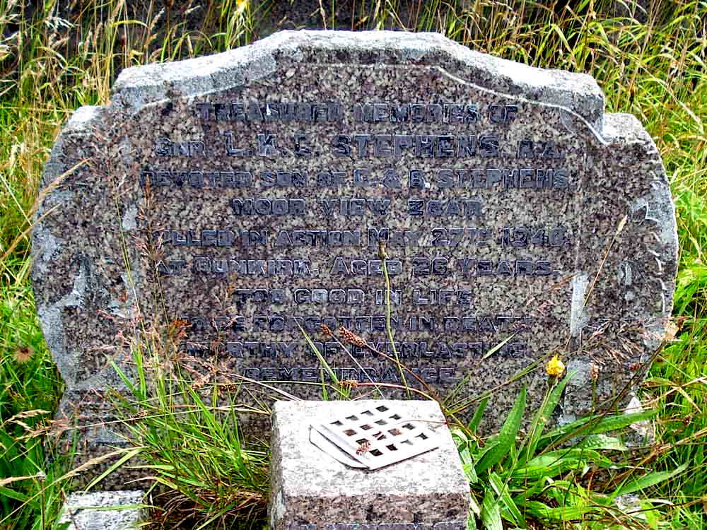
Headstone of a Royal Artillery gunner killed in action on 27th May 1940, during the Dunkirk operation (27 May-3 Jun) .....

Zoar Bible Christian Church / Methodist Chapel, built in 1904 as one of the last Bible Christian Churches to be built, becoming a Methodist Chapel in 1932.
MAP: Red = GPS satellite track of the walk.
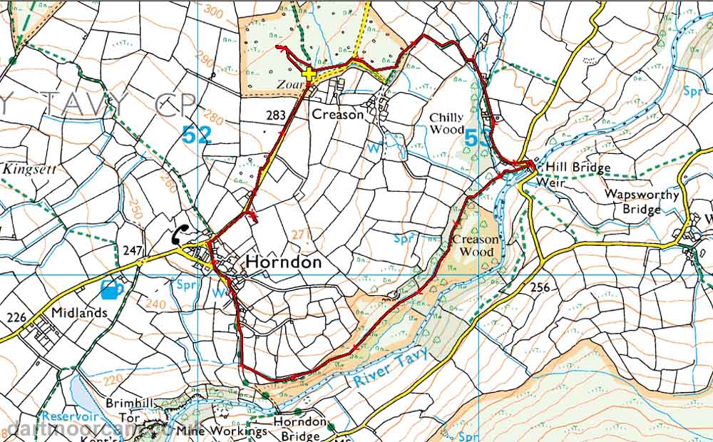
Ordnance Survey © Crown copyright 2005. All rights reserved. Licence number
100047373.
Also, Copyright © 2005, Memory-Map Europe, with permission.
This walk was approached from Tavistock on the A386 to Mary Tavy, turning right at the Mart Tavy Inn just before reaching the town. At a T-junction there was a left followed by a right turn, following signs for Horndon and the Elephant's Nest Inn - a good pub for lunch! On reaching Horndon, drive straight on to park at Zoar, opposite the row of white cottages, at the yellow cross on the map.
Statistics
Distance - 4.80 km / 3.0 miles
All photographs on this web site are copyright ©2007-2016 Keith Ryan.
All rights reserved - please email for permissions