![]()


This walk: 2011-1-26. Magpie or Bedford Bridge, Wheal Franco copper mine, brick works, Magpie Viaduct, mine shaft, woodland scenes, Horrabridge Station, bracket fungus, Roborough Down, Screw Bridge, Grenofen Viaduct, Gem Cottage.
Walk details below - Information about the route etc.
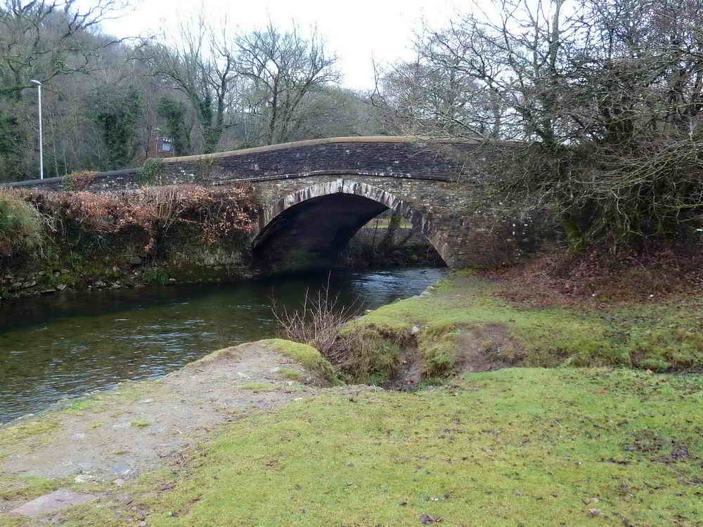
Bedford or Magpie bridge over the River Walkham, built 1822. There was a tall white building to the right, which was the King's Arms in 1850 but Crossing knew it as The Magpie Inn. Nearby, Magpie Mill produced violin strings.

A feature of unknown function but suspected to be a base for a crane, being very near the river bank.

This area is rich in remains from the Wheal Franco copper mine, 1823-1875, which was very productive, employing around 130 men and going down to 160 fathoms (960 feet). There was also a brick works in this area.
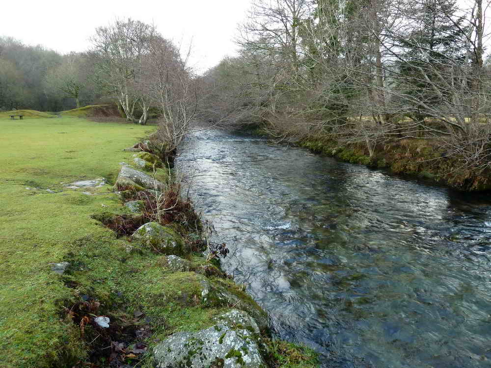
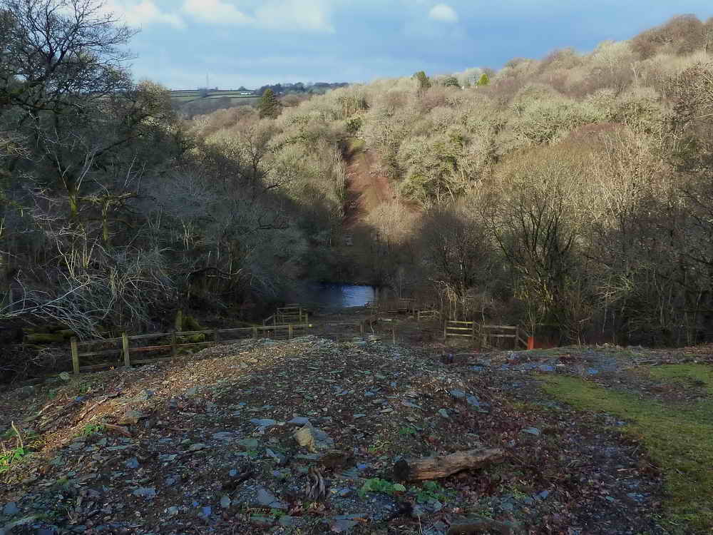
The River Walkham.
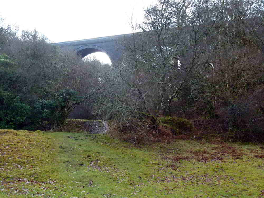
View of Magpie Viaduct ..... 216 yards long, 62 feet high, originally built 1856-1859, replaced 1902 with blue Staffordshire brick .....
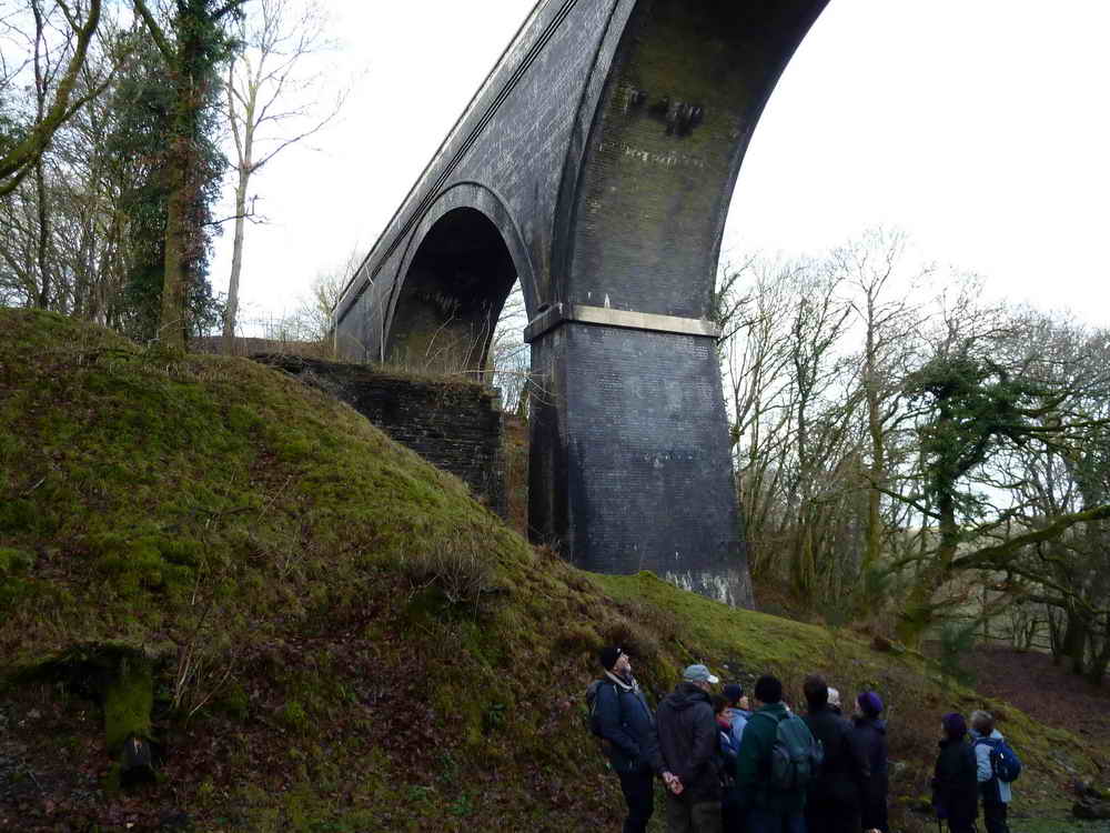
Showing one of the original brick-built piers to the left, from the original bridge built by Brunel. These supported timber trestles that carried the trackbed.
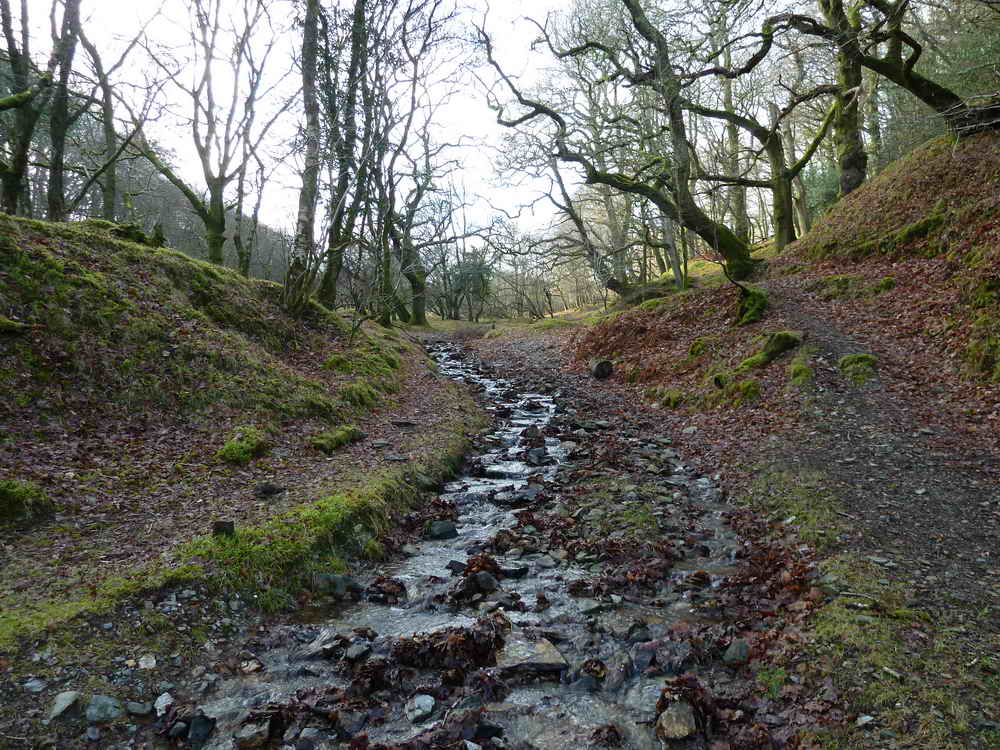
The stream that runs down under the viaduct.

Fenced mine shaft.

Looking alongside the viaduct .....
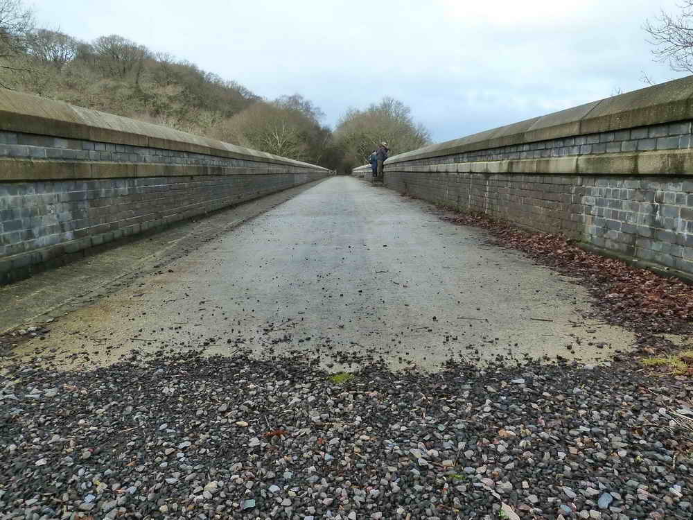
..... and along the viaduct, now part of the "27" Sustrans cycle track
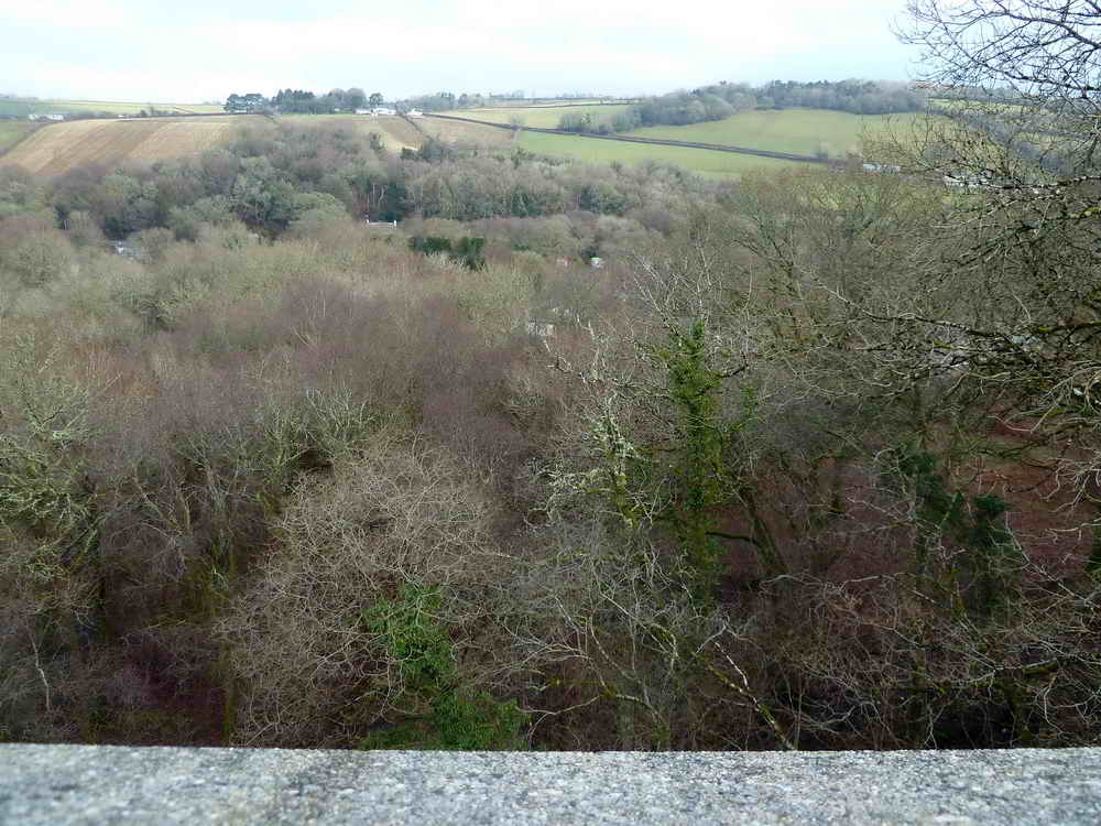
Looking north-east from the viaduct.
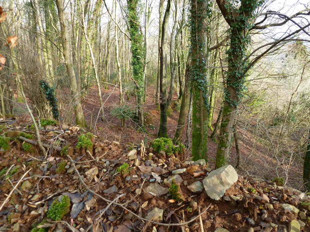
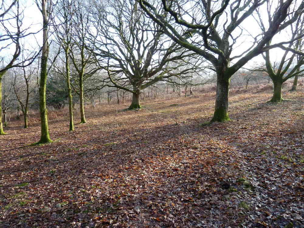
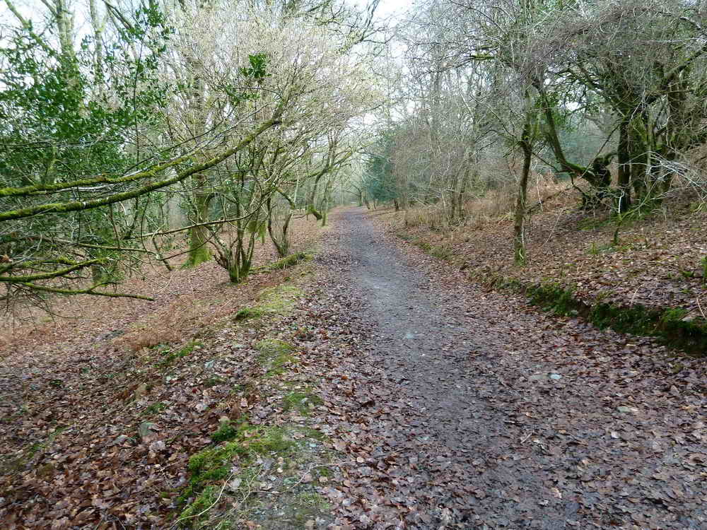
Woodland scene.

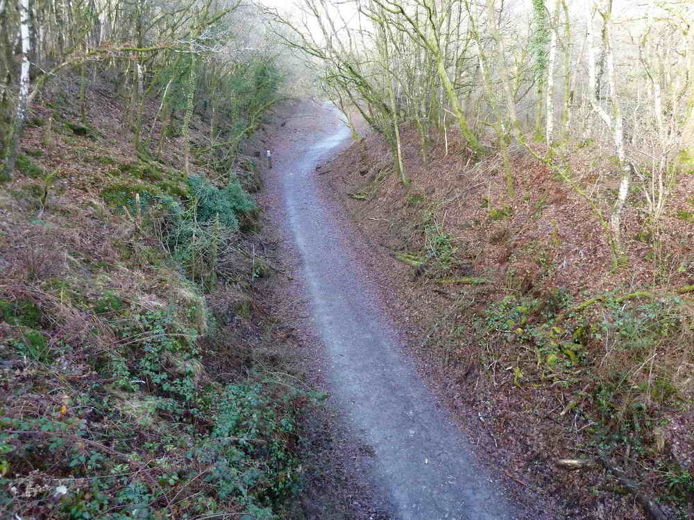
Bridge along the cycle track.
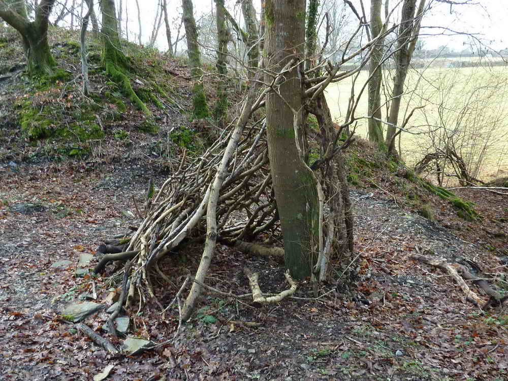
A child's hideaway seen along the route, or a piece of modern art?
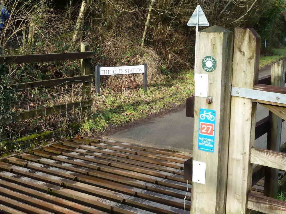
Leaving the old Horrabridge Station area, now modern housing.
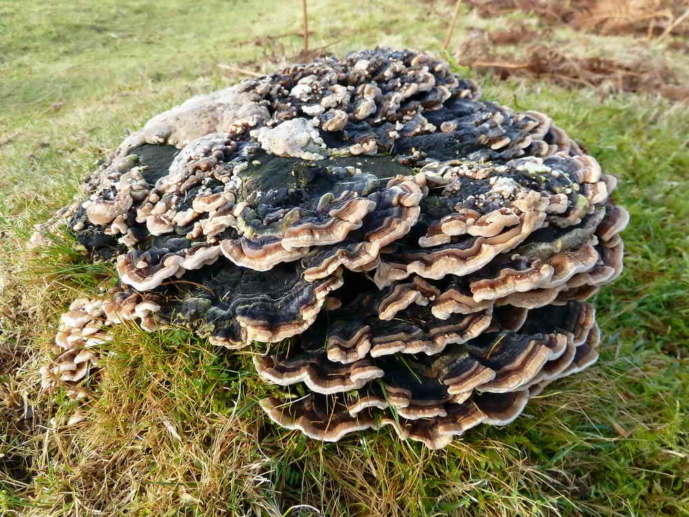
A bracket fungus on an old tree stump.
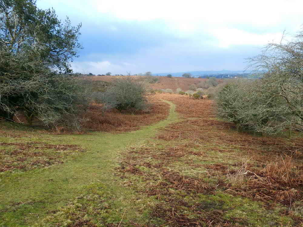
A scene on Roborough Down, exploited over the eons, with Roman, British, Saxon remains, worked for its wood and then with field systems superimposed on the area, with ridges furrows, lynchets and lazy beds.

Another scene .....
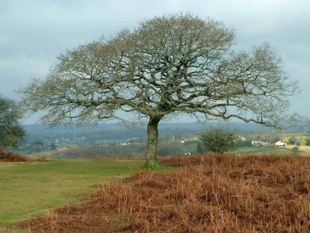
A picturesque tree .....
Another tree!

In detail!
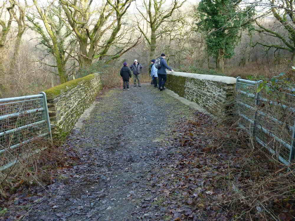
Screw Bridge .....
View from the bridge .....

Where, once again, many and varied things are discussed on the Strolls .....
Shake a hand? or by The King
These women are getting in on everything, Jim!!!

Looking at Screw Bridge from the railway track - is the name corrupted from "Skew Bridge", where a bridge runs obliquely across an obstacle? In this instance, it is an unusually sloped bridge. This the South Devon & Tavistock Railway (1859) with five viaducts and three tunnels: the line closed in 1962.
The site of Grenofen Viaduct. "Green-a-fen" meant a green marsh, 1238, an important crossing point between Buckland and Torr Abbeys.
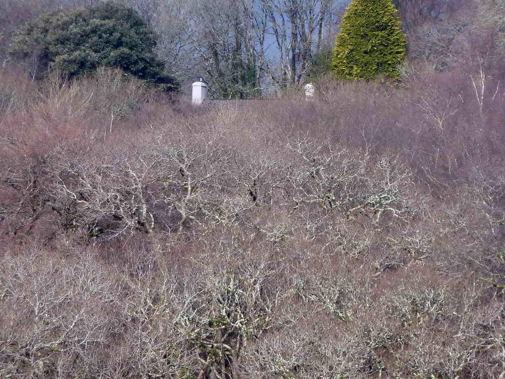
Gem Cottage, former home of Angela Rippon.
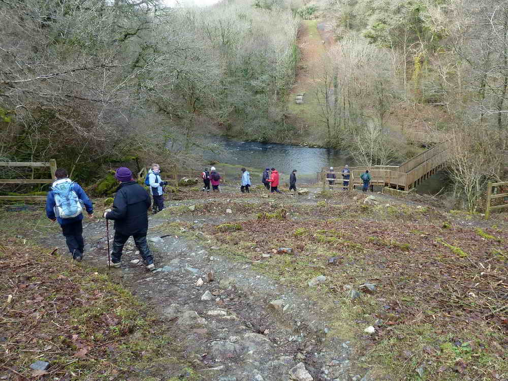
Descending the winding path to the river .....
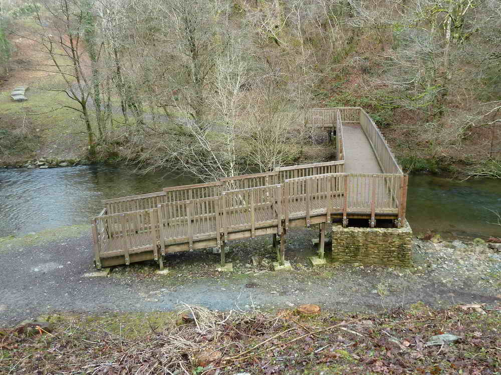
The footbridge/cycle bridge over the Walkham.
A view along the track back to the car park.
Red = GPS satellite track of the walk.

Ordnance Survey © Crown copyright 2005. All rights reserved. Licence number
100047373.
Also, Copyright © 2005, Memory-Map Europe, with permission.
This walk was easily accessed from the car park (marked with the yellow cross and the P symbol on the map) which is right beside the A386 Horrabride to Tavistock road, at the bottom of the hill after Horrabridge just before the bridge over the River Walkham.
Statistics
Distance - 5.95 km / 3.7 miles
All photographs on this web site are copyright ©2007-2016 Keith Ryan.