![]()


This walk: 2011-10-28. King Way, King Wall, recently-discovered King Way Cross, Sourton Tors, Brentor, cairn, Rattlebrook Peat Railway, Lake Viaduct, Great Nodden, restored bridge, lichen with moss, peat beds, peat buildings, bricks, Hunt Tor, "L" boundary stone, Bleak House, Green Tor, Higher Dunna Goat boundary stone, Great Links Tor, Fox Moth caterpillar, Lower Dunna Goat, Saltash bridges, trig. point, Red Admiral Arms Tor, Bray Tor, Widgery Cross.
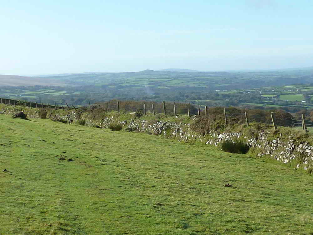
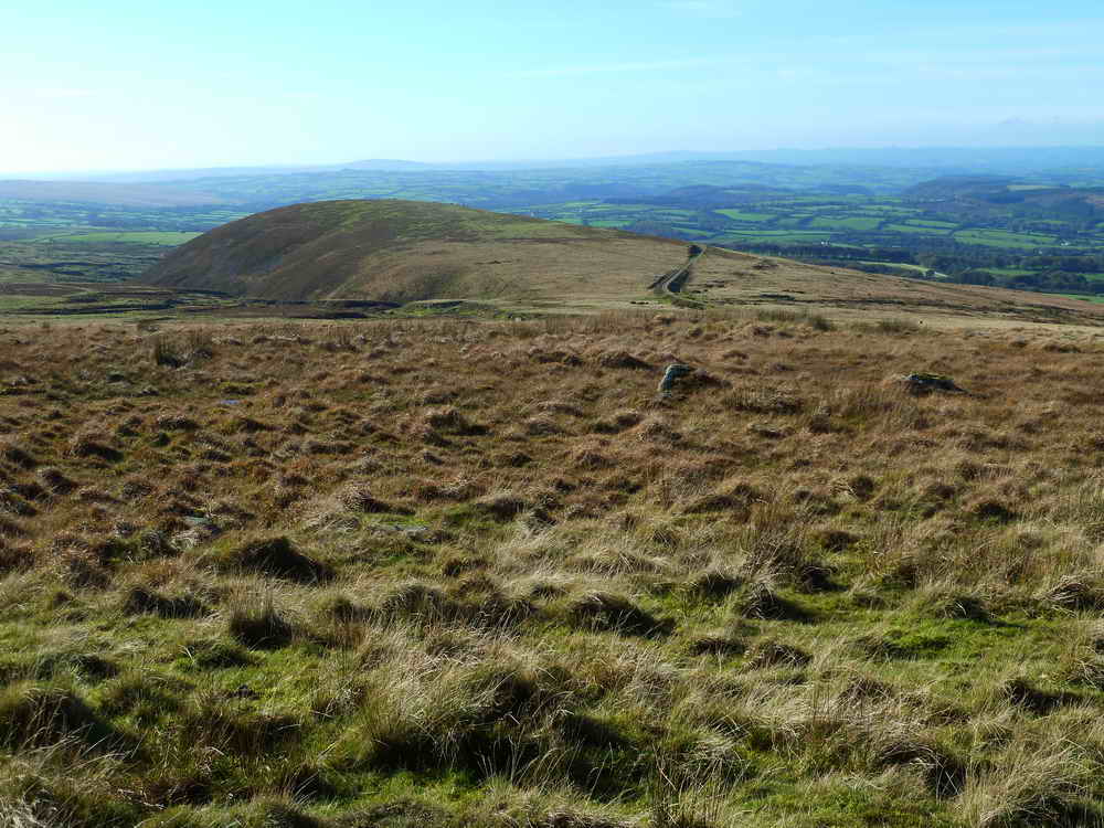
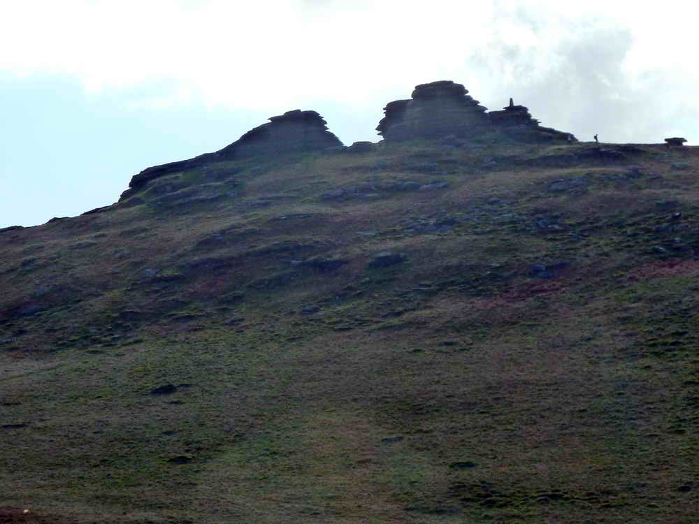
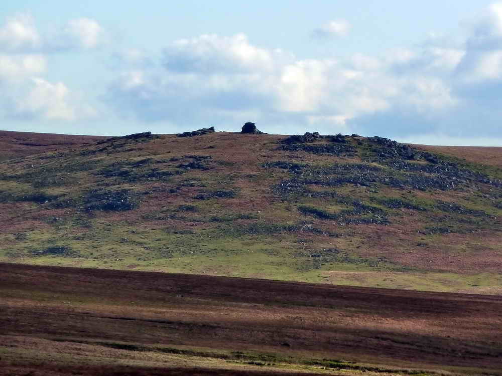
Normal, non-zoomed view to Brentor (centre, on the skyline), also showing part King Way in the foreground and King Wall .....
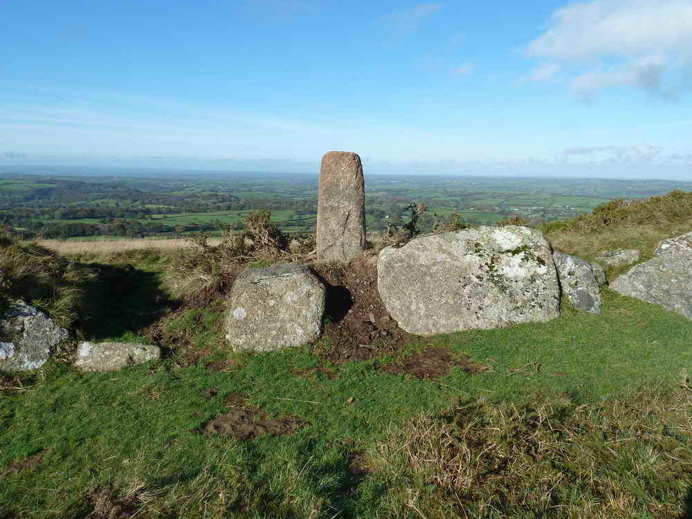
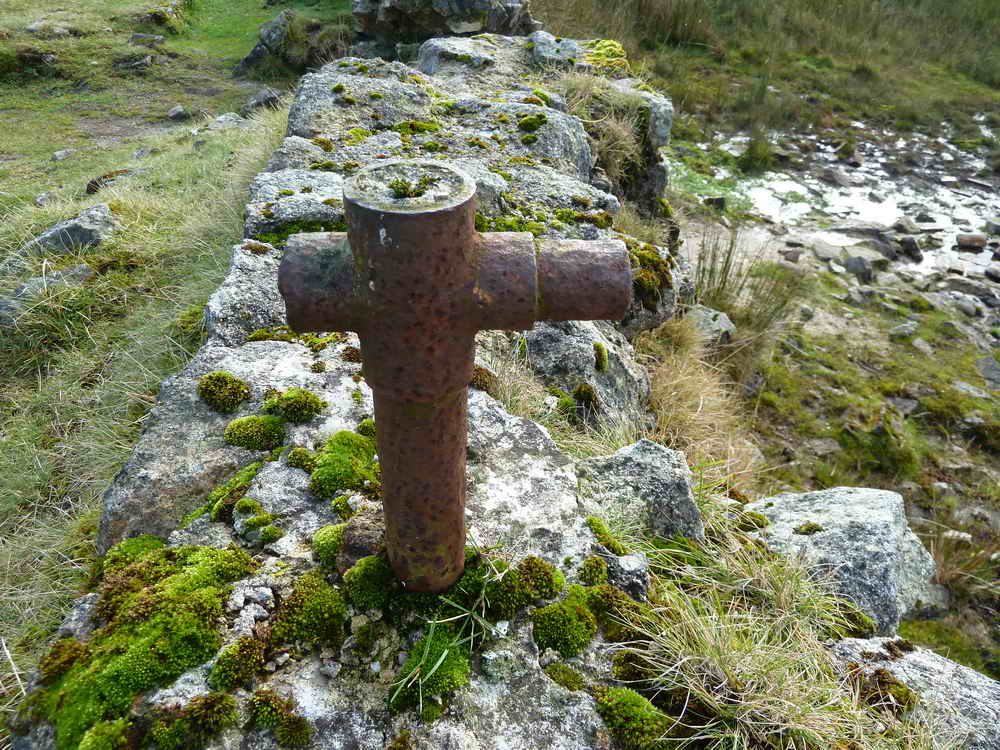
The recently discovered (Nov 2010) King Way Cross - read all about it? Believed to be early Medieval, cut in relief on just one side, broken, it is believed to have originally stood about 2 metres high. It was found by Ron's Ramblers, an ex-Dockyard walking group, in Nov. 2010. It was re-erected in August 2011 with a new base.
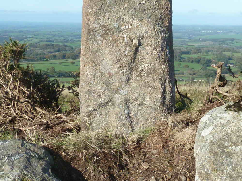
Closer view of the cross.
View to Sourton Tors, SX 542 899.
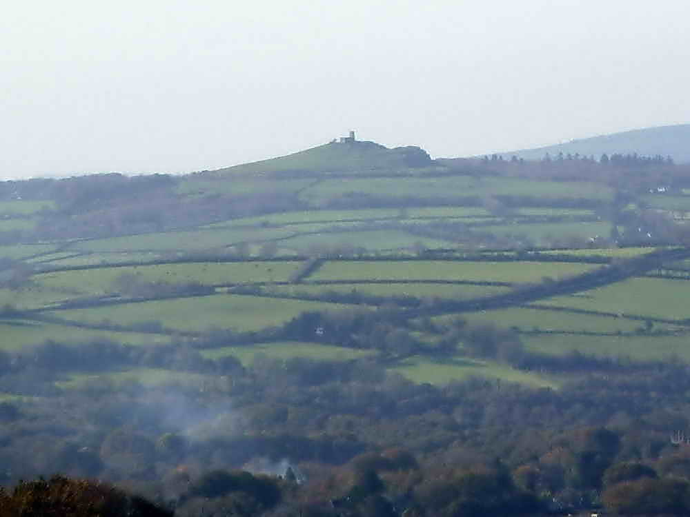
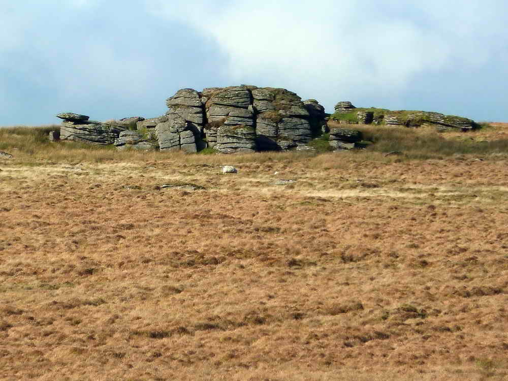
Zoomed view to Brentor.
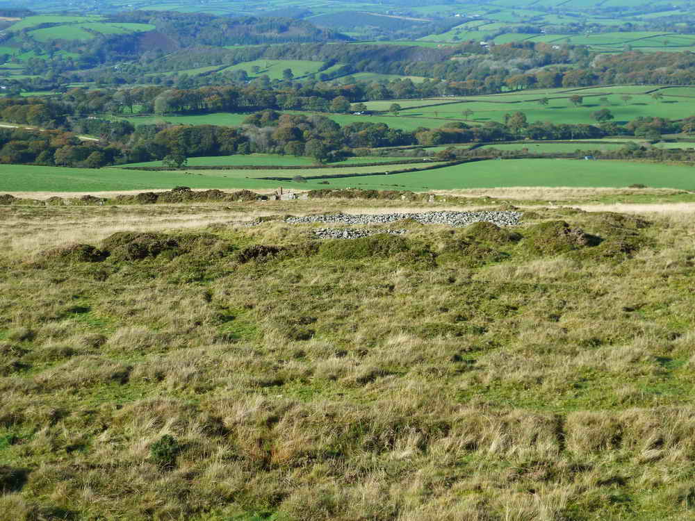
Cairn at SX 5361 8740 (almost hidden on the map by the King Wall Cross label.
Junction at SX 54281 87954, near to the bridge (below - not the viaduct) - part of the Rattlebrook Peat Railway. This excellent web page states .....
"The line constructed in 1879 for the Duchy of Cornwall was seven miles long and in that distance rose 1000ft. it was operated for almost all of its life by horse and had only one passing place, just over half way along the line from Bridestowe where the line reversed direction. At Rattlebrook there was an assortment of building and kilns for drying the peat which was brought from the cuttings by trucks run on a network of narrow gauge lines. At one time the operation employed around 100 men."
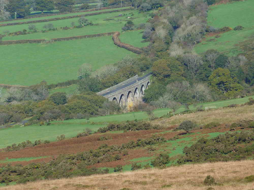
Zoomed view to Lake Viaduct, once carrying Southern Region trains from Waterloo to Plymouth, now part of the Granite Way cycle path.
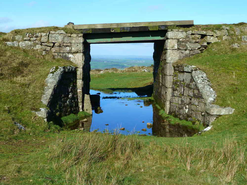
Restored bridge in the embankment of the tramway.
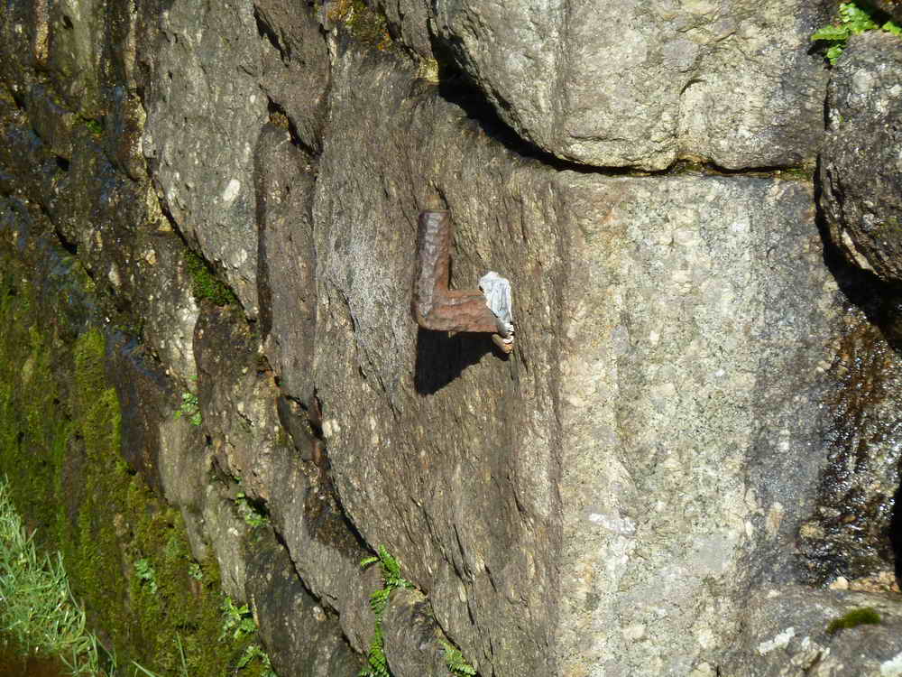
An iron pintle (gate hanger) in the wall under the bridge.
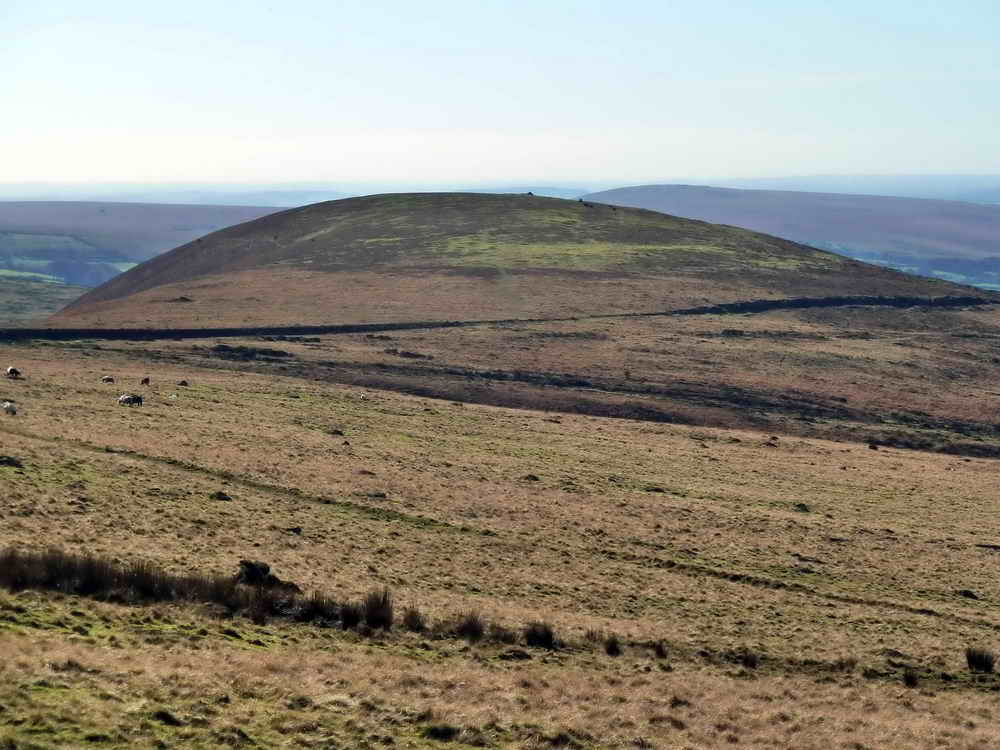
Great Nodden.
"End of the line", sort of, this is the northern extremity where the railway turns/doubles back on itself. The track can be seen running downhill from bottom right, to the centre of the photograph, and then running down to bottom left. This is described as the midway reversing point in the Rattlebrook Peat Railway link.
Looking down on the railway from the upper "run".
Zoomed view.
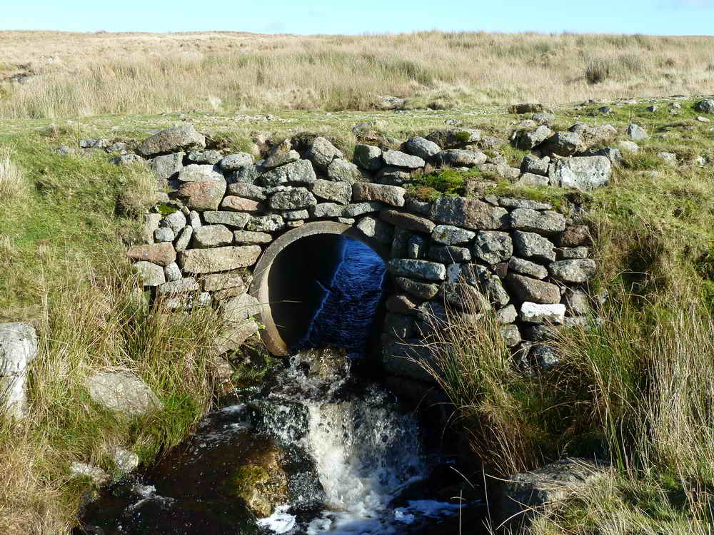
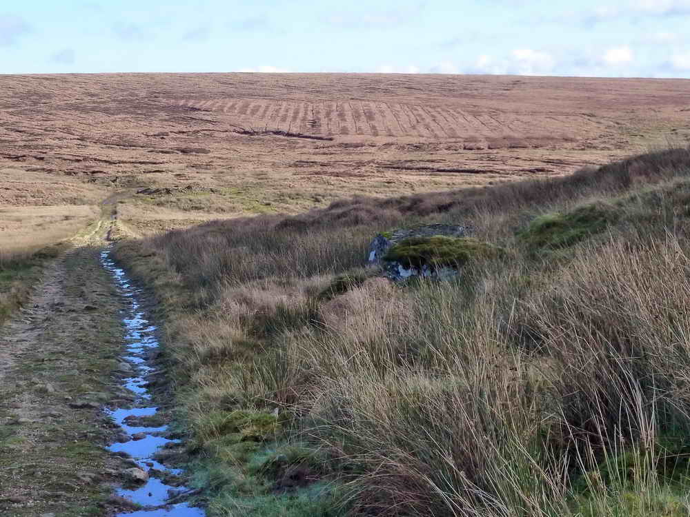
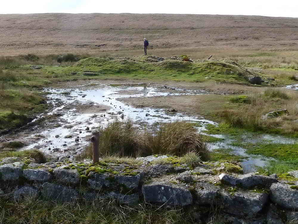
Stream at SX 54876 88189.
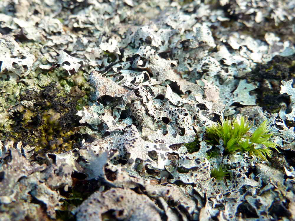
Lichen, with some moss.
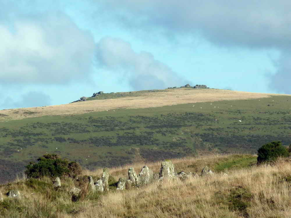
Great Links Tor, seen against the sun, note the trig. pillar towards the right of the tor.
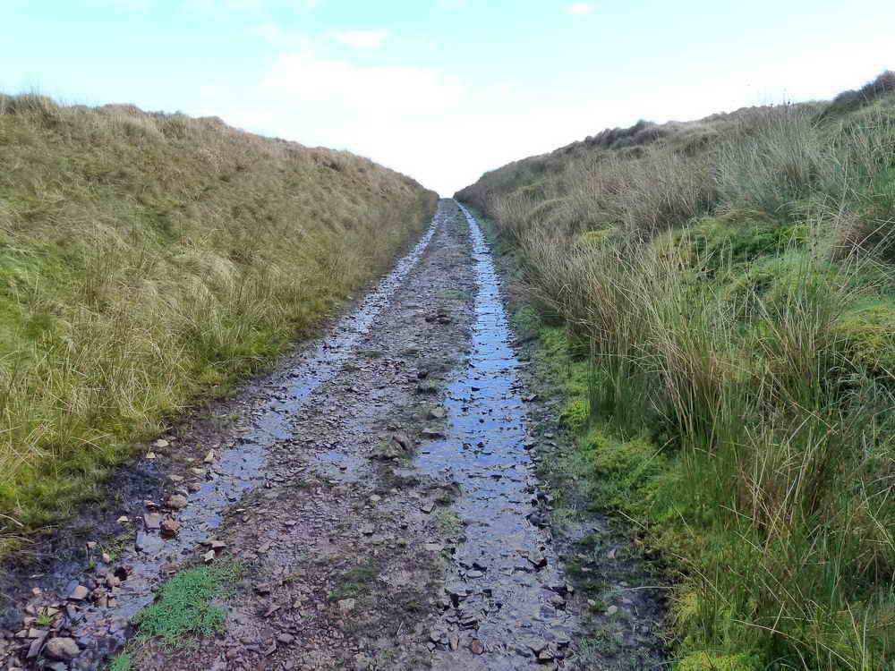
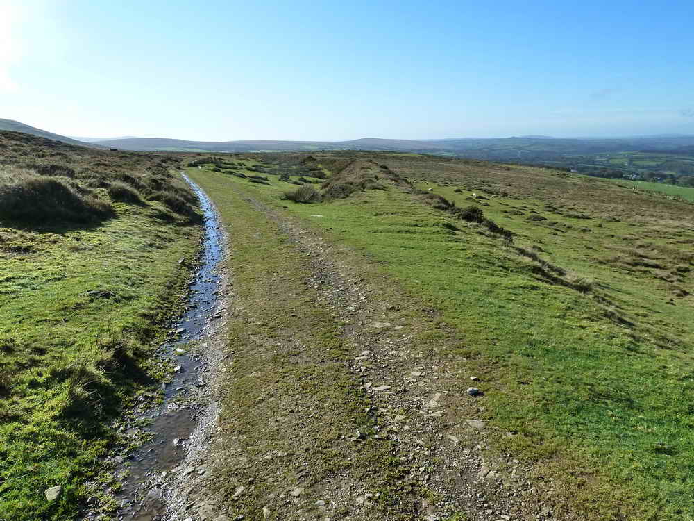
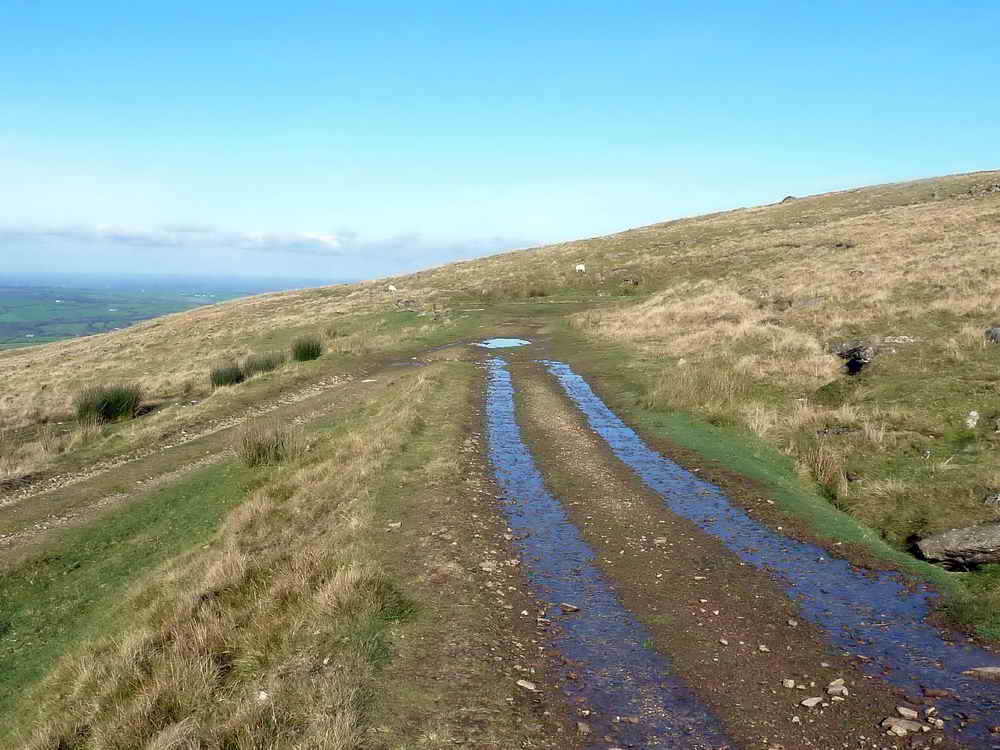
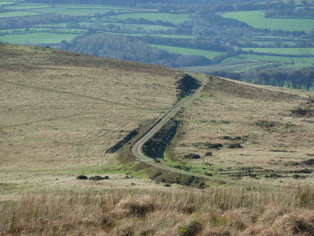
Incline just north of Great Links Tor.
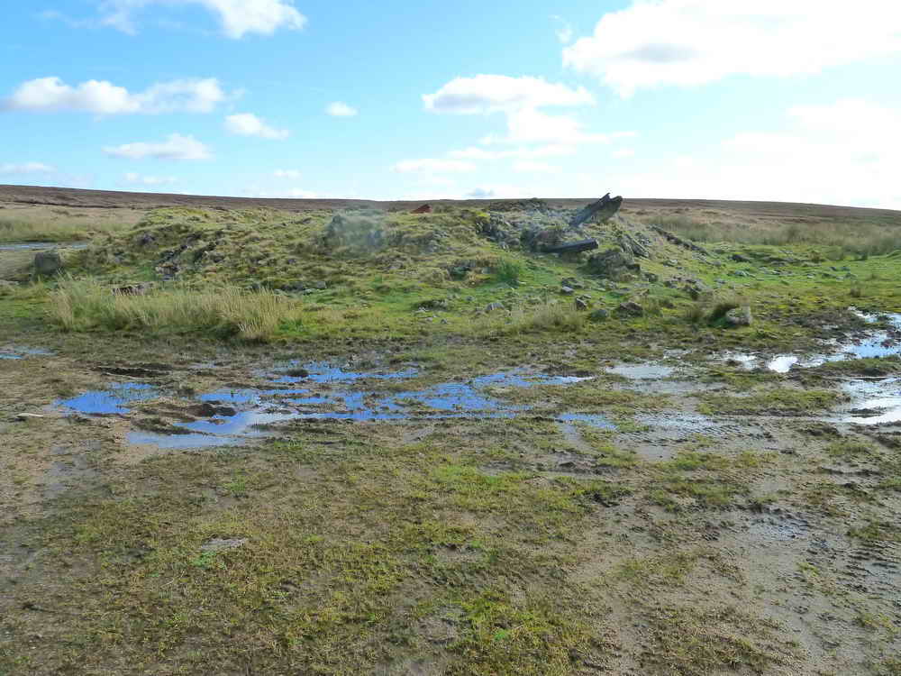
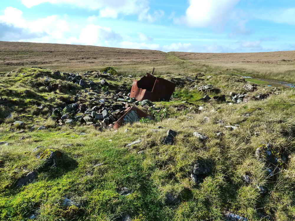
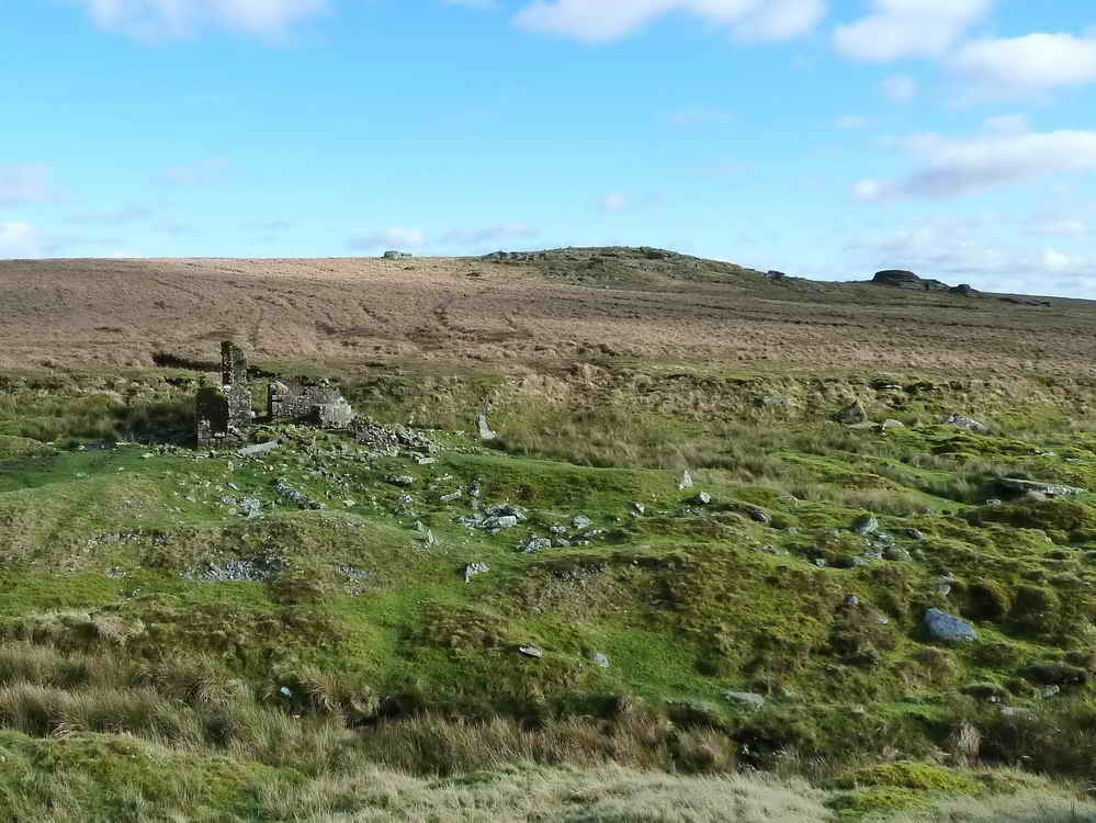
The Rattlebrook Peat Works area .....
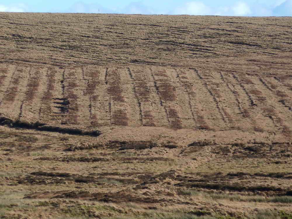
Old peat beds.
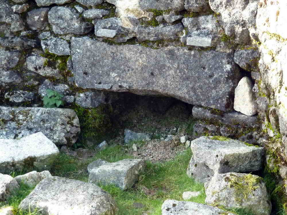
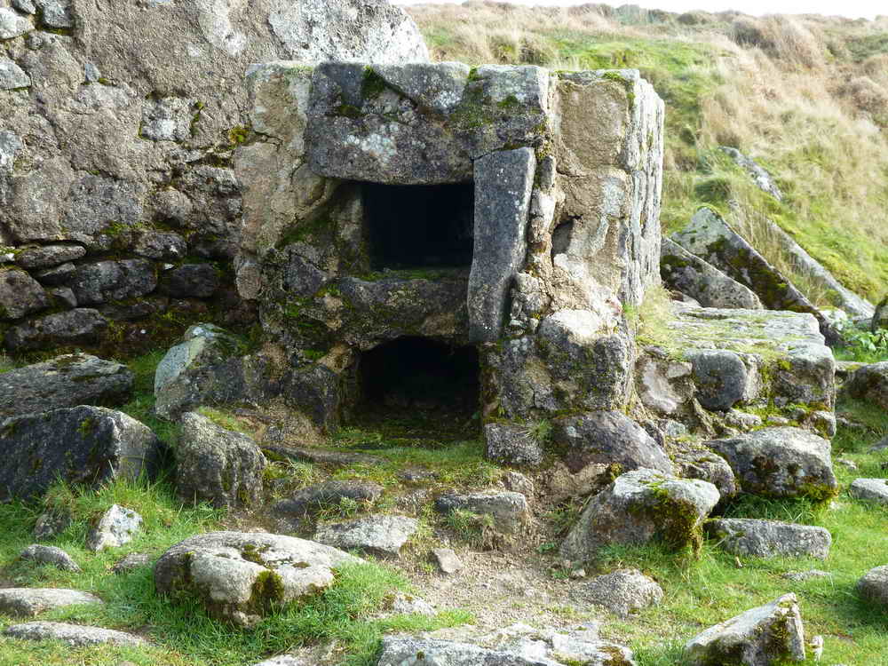
Structure at the peat works .....
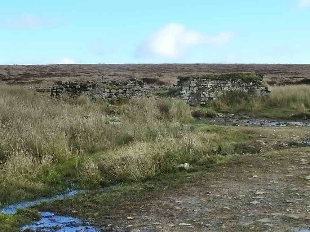
Stone and brick-built building .....

Two wooden railway sleepers left in the ground?

A bolt in one of the wooden sleepers.
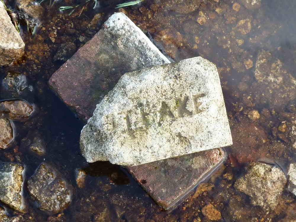
One of the many bricks laying around the area .....
Looking back to the first structure .....
A fixture in the stone/brick-built building .....
Another type of brick.
Hunt Tor, at SX 5569 8749, elevation 562 metres (1843 feet).
Looking inside the first structure, the remains of an iron boiler?
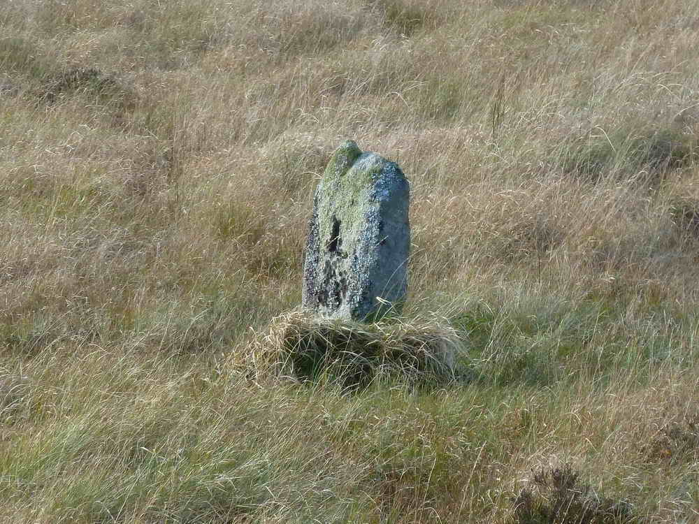
Boundary Stone at approx. SX 5597 8685. L = Lydford.
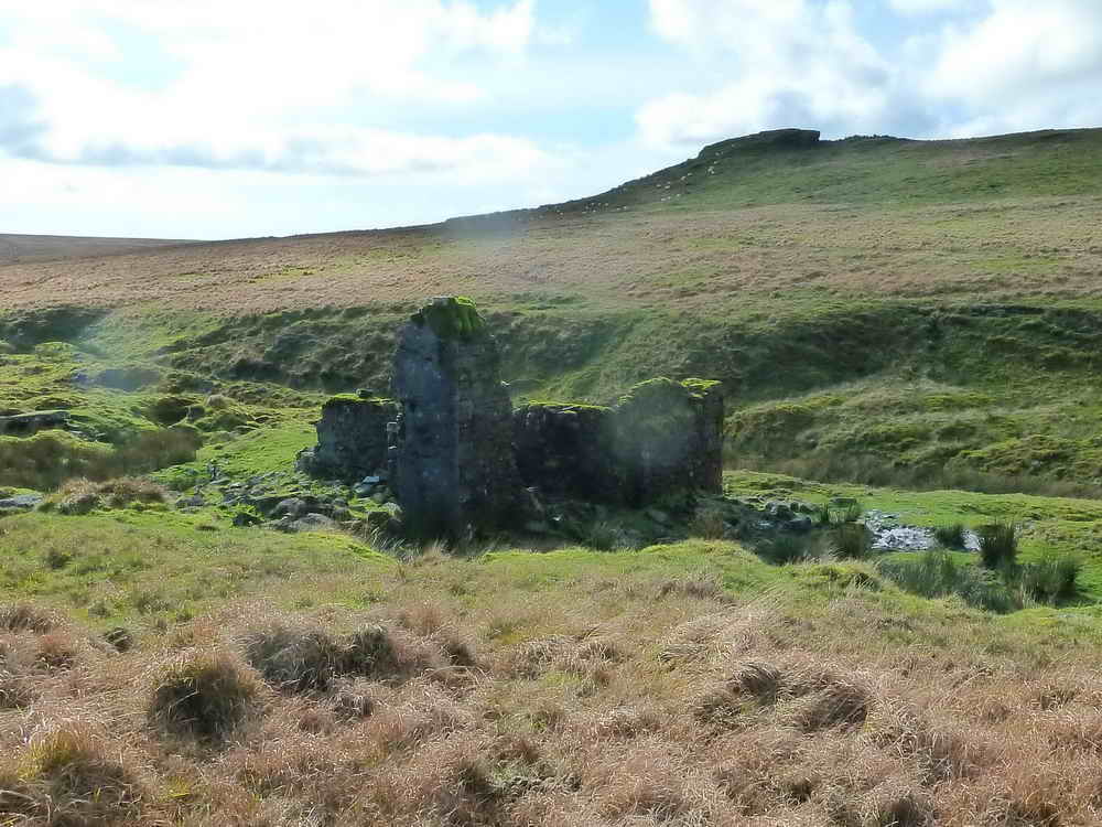
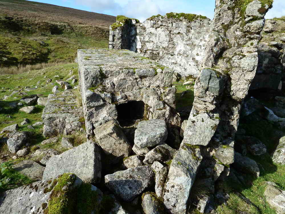
First view of Bleak House, at SX 5596 8647 .....
As previous photo .....
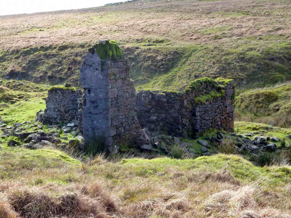
Bleak House.
Bleak House.
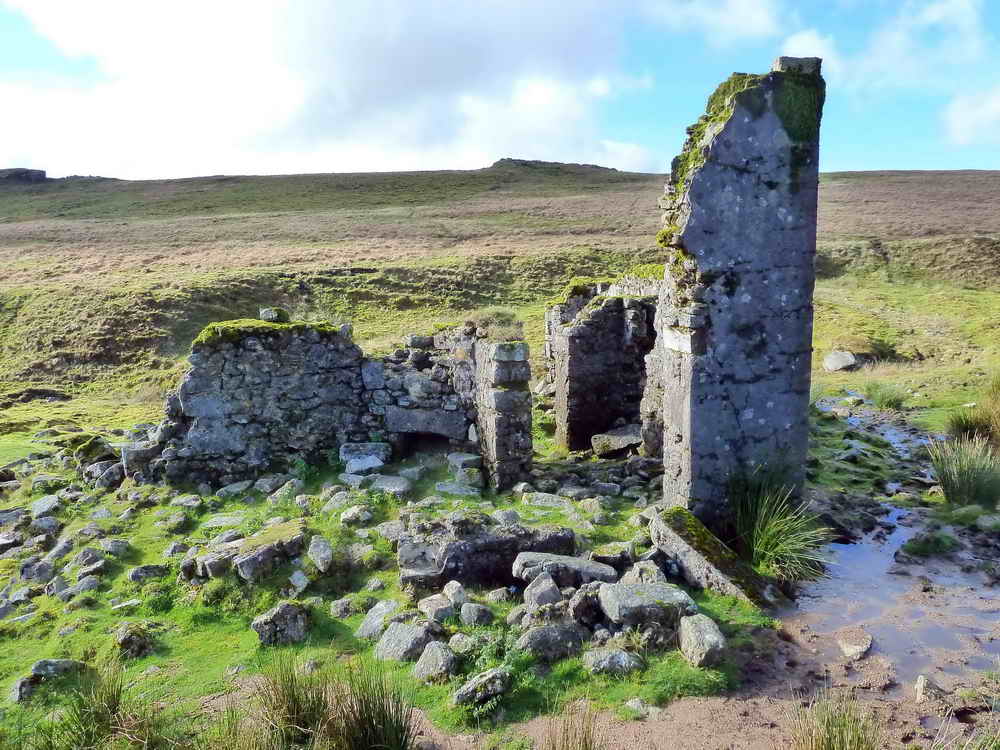
Fallen chimney stack.
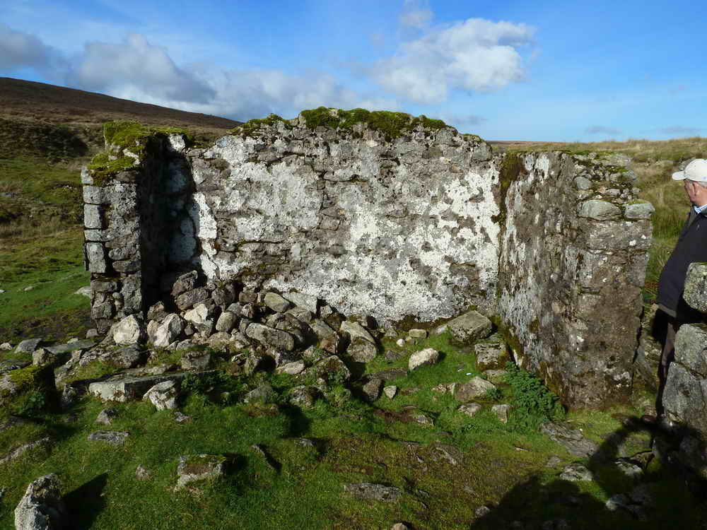
Bleak House.
The wall of the house was rendered.
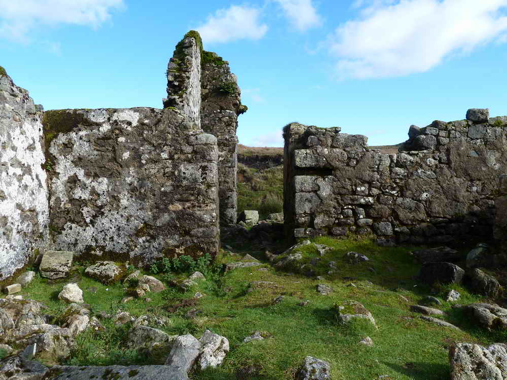
Bleak House.
A different view of the fallen chimney stack.
Bleak House seen from across the stream, climbing towards Higher Dunna Goat, with Green Tor behind.
Zoomed view.
Unidentified rocks at 140� from Higher Dunna Goat.
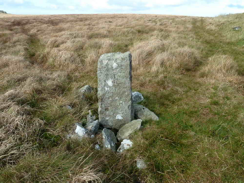
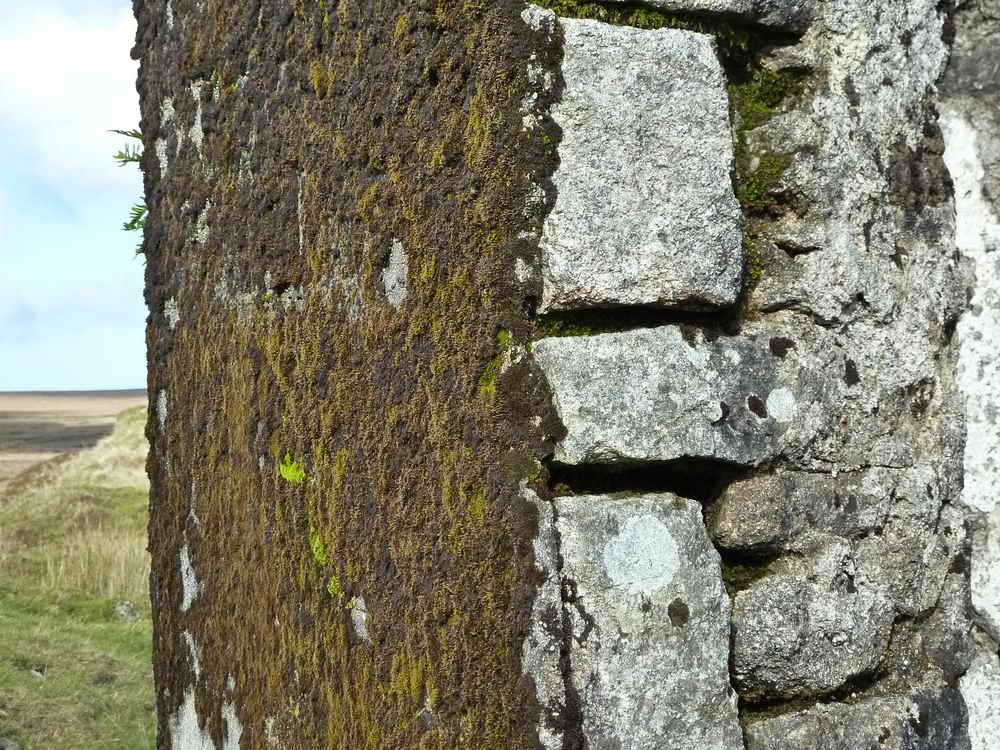
L boundary stone by Higher Dunna Goat.
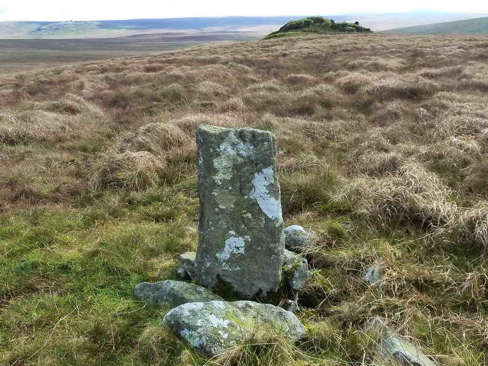
SBS boundary stone by Higher Dunna Goat, looking towards Lower Dunna Goat.
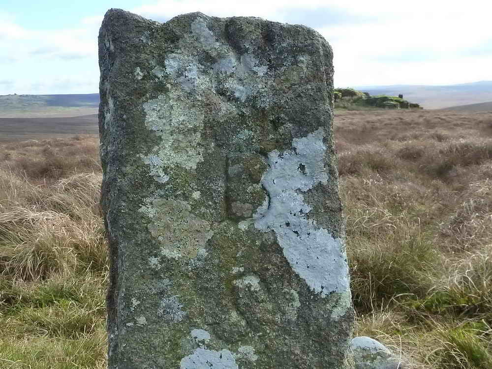
Showing 'S' at the top of the stone, with 'B' below and another 'S' at the
bottom. This stone is drawn in Fig. 53 (page 174) by Dave Brewer (2002)
Dartmoor Boundary Markers, Halsgrove, but not with the seemingly extra "S"
at the top. Possibly it is a natural fissure in the stone.
All photographs on this web site are copyright ©2007-2016 Keith Ryan.
All rights reserved - please email for permissions