![]()


This walk: 2011-2-16. Dartmeet road bridge, clapper bridge, River Dart confluence of East & West Dart Rivers, turkey, canoe access point, Combestone Tor, gorse, Week Ford, stepping stones, St. Raphael's Church, foxglove plant, snowdrops, mementoes of the old school.
Walk details below - Information about the route etc.
Photography credit: "Photos by Jim"
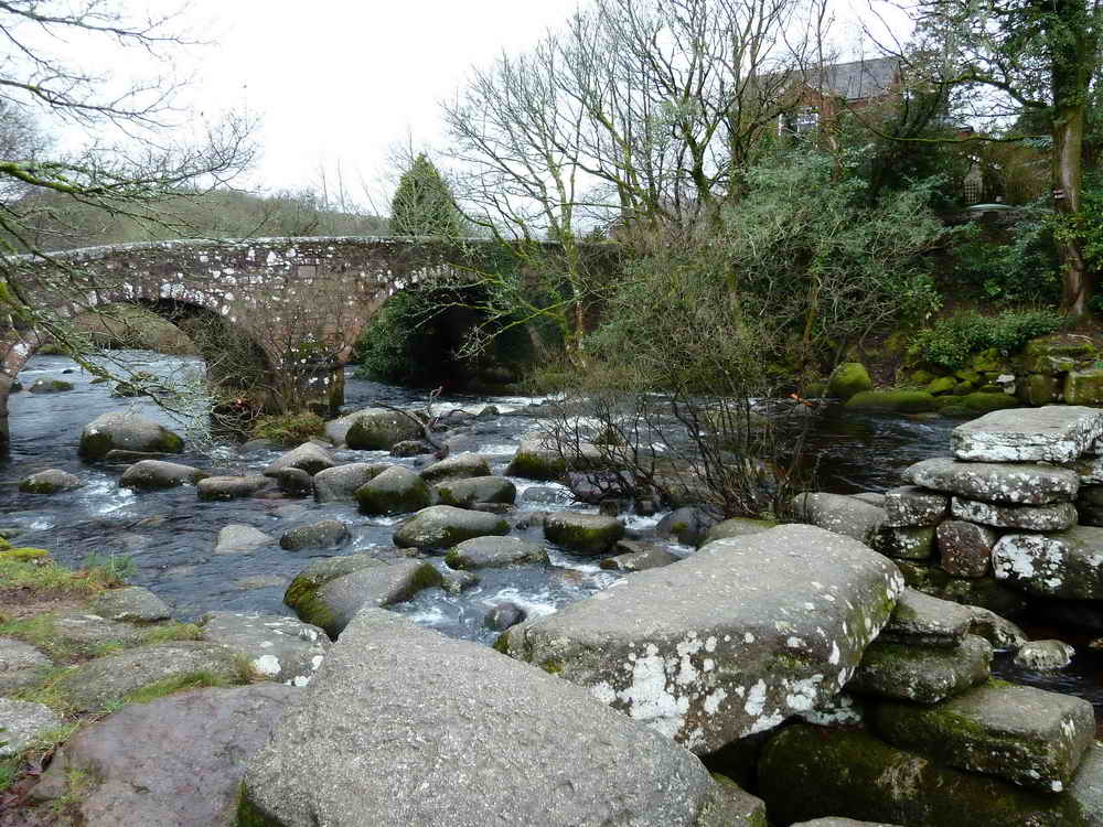
The road bridge at Dartmeet with the old clapper bridge in the foreground. This modern bridge has 2 x 30 ft. arches and a tablet inscribed �County Bridge 1792� .....
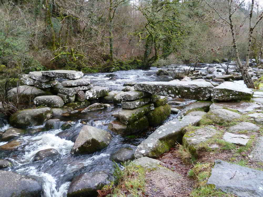
This clapper bridge would have been more impressive than the one at Postbridge; this one is bigger, with5 Imposts compared to Postbridge�s 3, and higher as the East Dart is bigger here. It was washed away 1826, re-built 1888 by Dartmoor Preservation Association, washed out again; 1993 �repaired� and made safe by Dartmoor National Park Authority after further flood damage.
Nearby is �Badger�s Holt�, formerly two cottages, one inhabited by George Caunter and the other by Joe and Daniel Leaman; both became a fishing lodge, and later the summer residence of a Mr Rose, know locally as �The Badger".
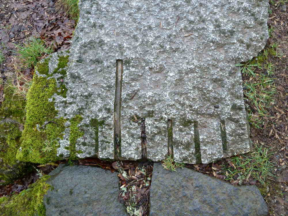
Pronounced feather and tare marks in a piece of granite.
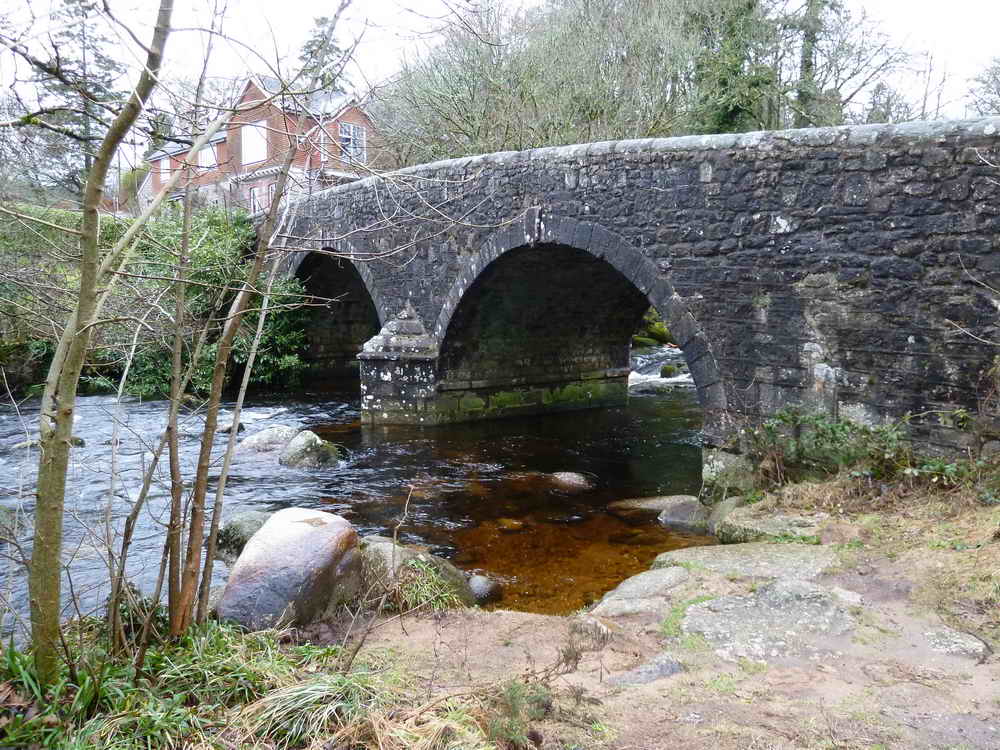
The modern road bridge.
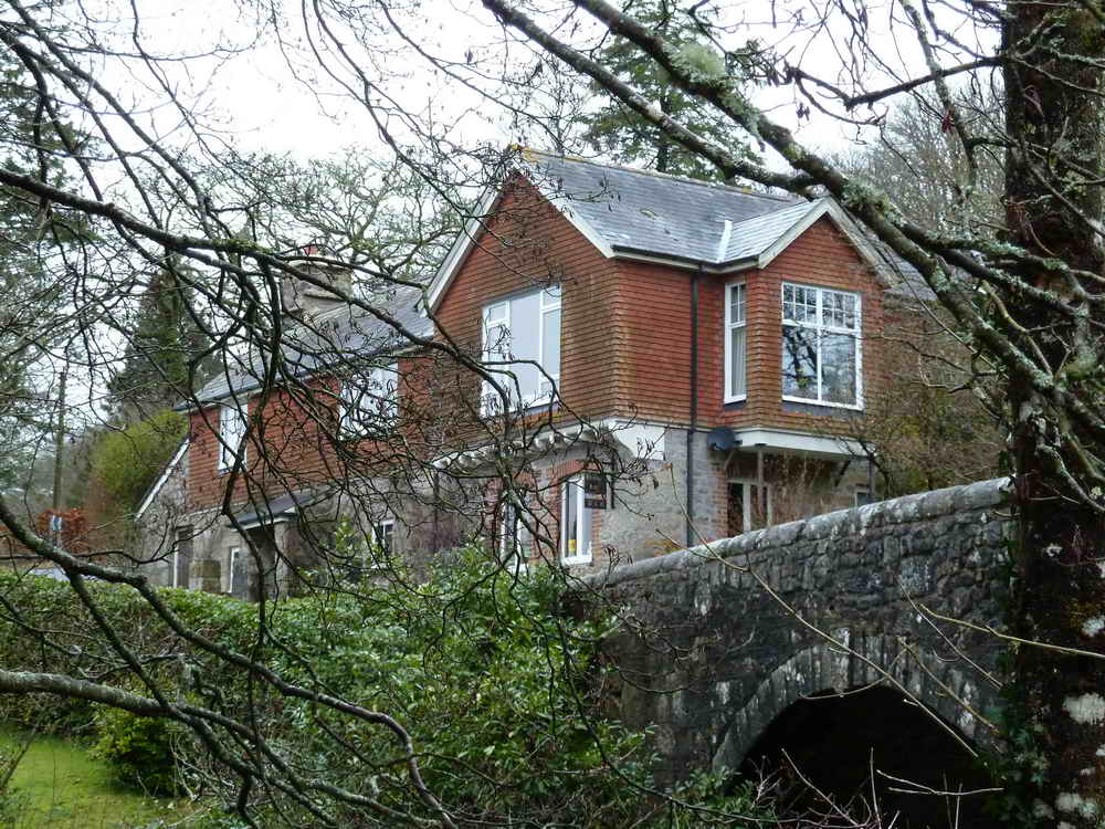
Property beside the bridge.
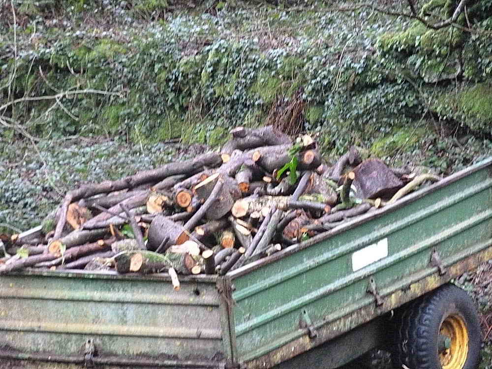
Apparently chain-sawed logs, reminding that Keith was on a chainsaw training course!
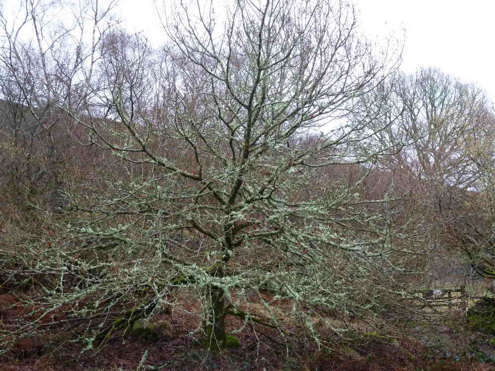
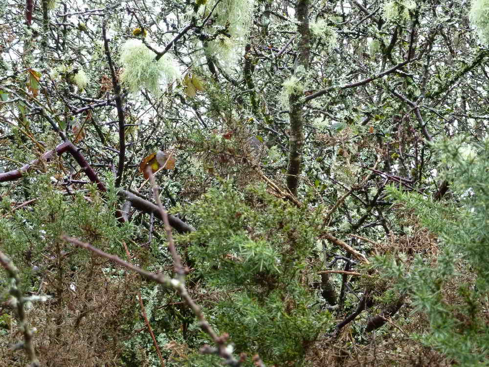
Outline of a tree that bore a lot of lichens.
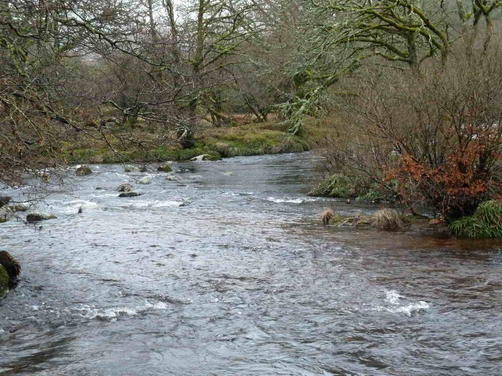
The River Dart - the confluence of the East Dart and the West Dart.
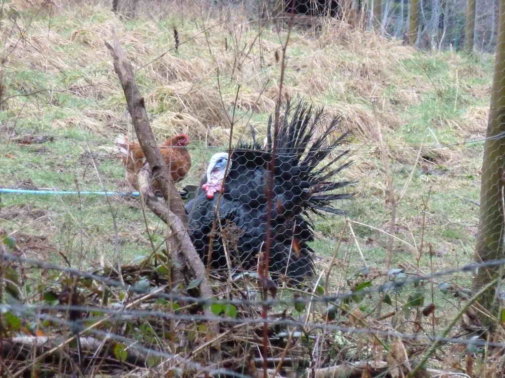
A turkey! This almost begs a caption competition - but there is one later!
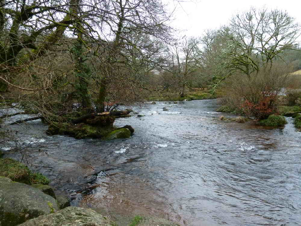
The confluence of the two Darts again.
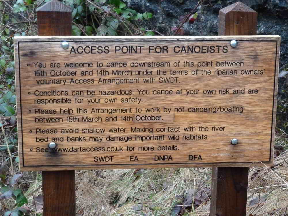
A nearby notice.
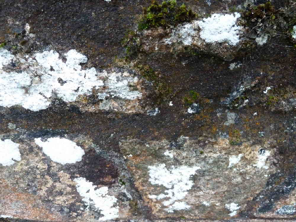
Not sure what this is???
Gorse and lichen.
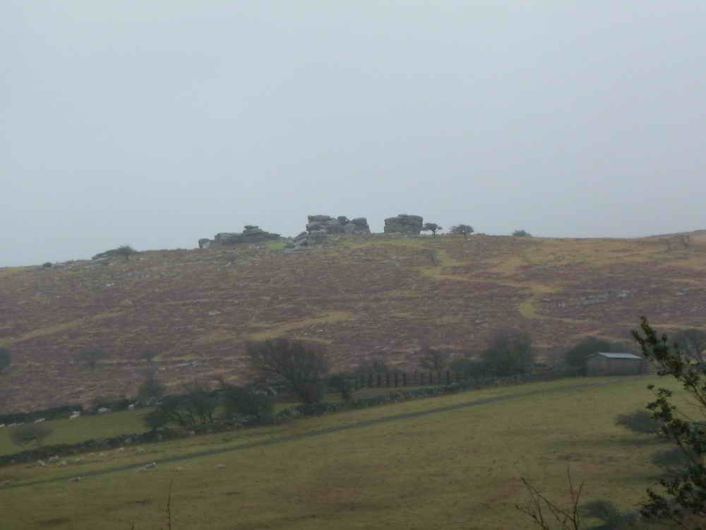
Combestone Tor, at SX 670 718, elevation 356 metres (1167 feet).
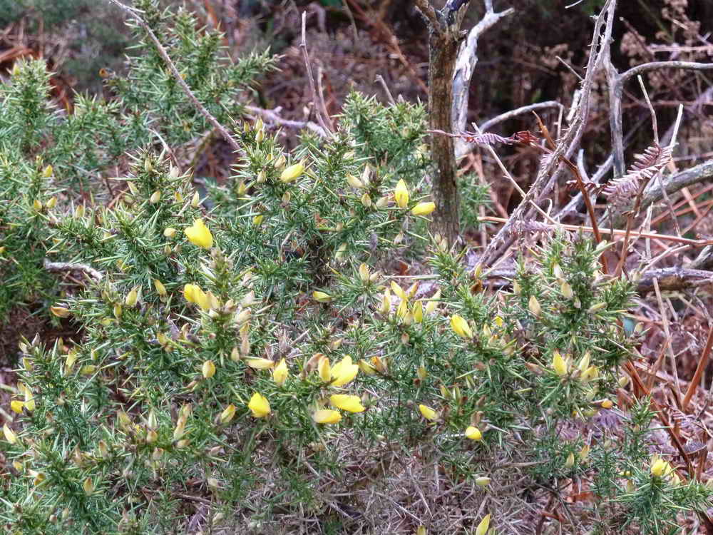
"The gorse flower is not misssing - so there can be more kissing" - my version of the old saying!
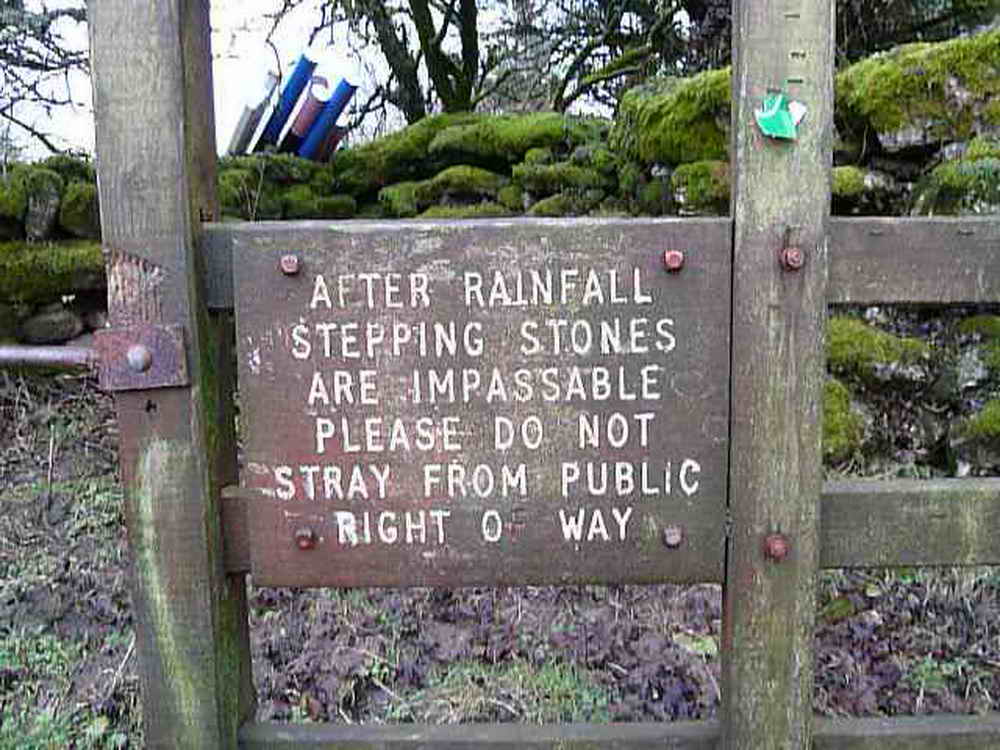
Seems sensible!
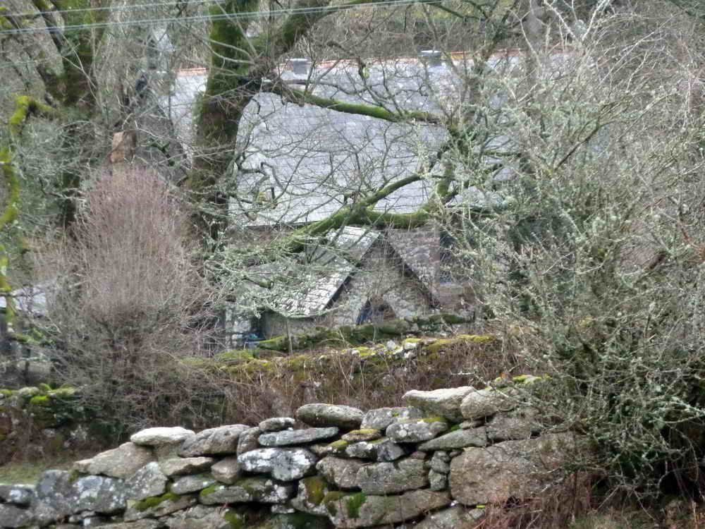
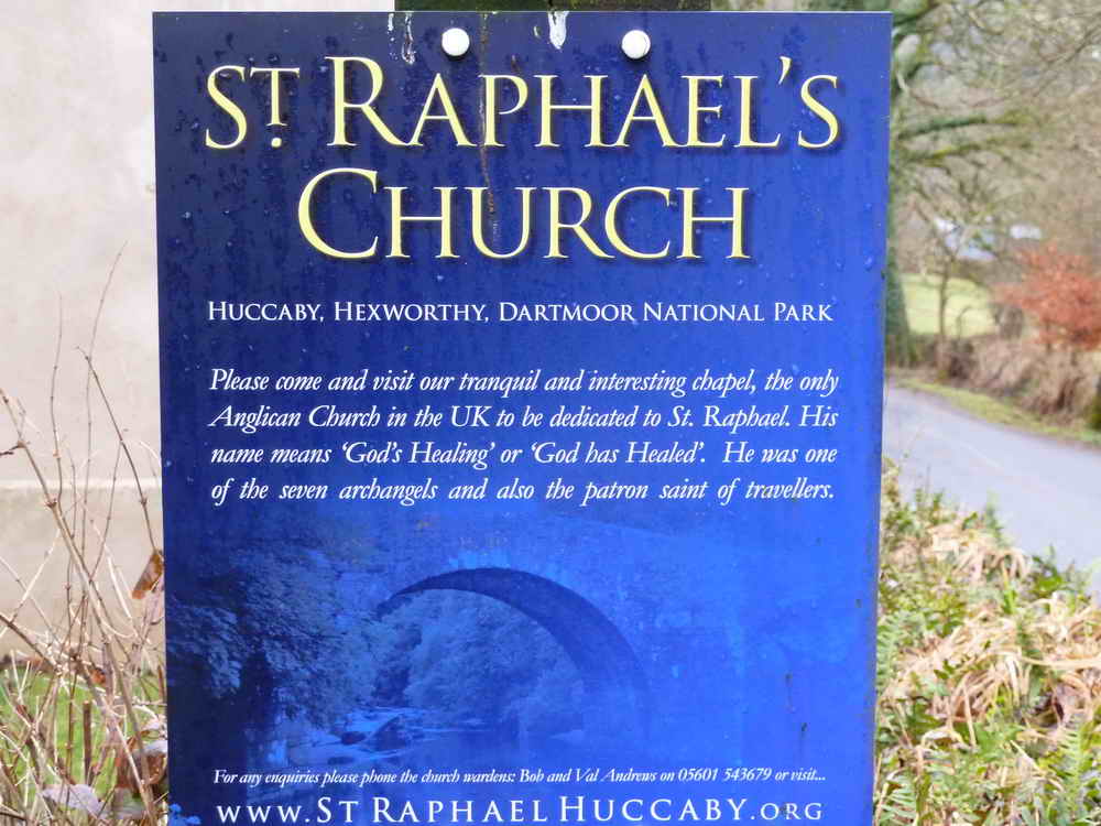
Approaching St Raphael's Church - the link tells all .....
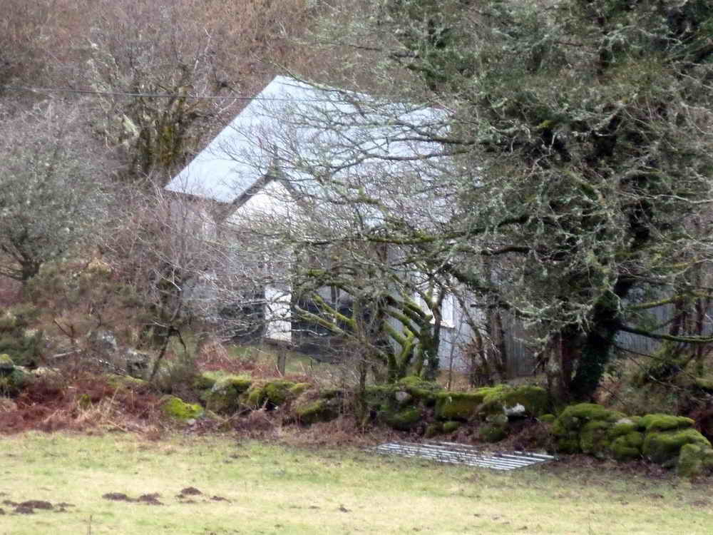
Another view .....
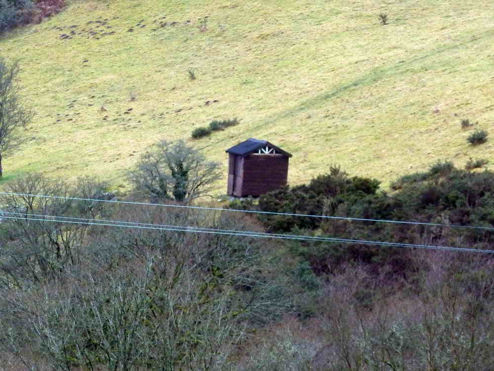
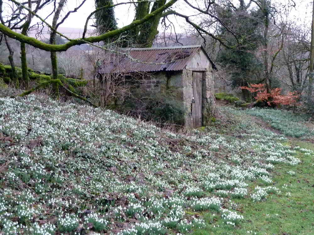
Hut.
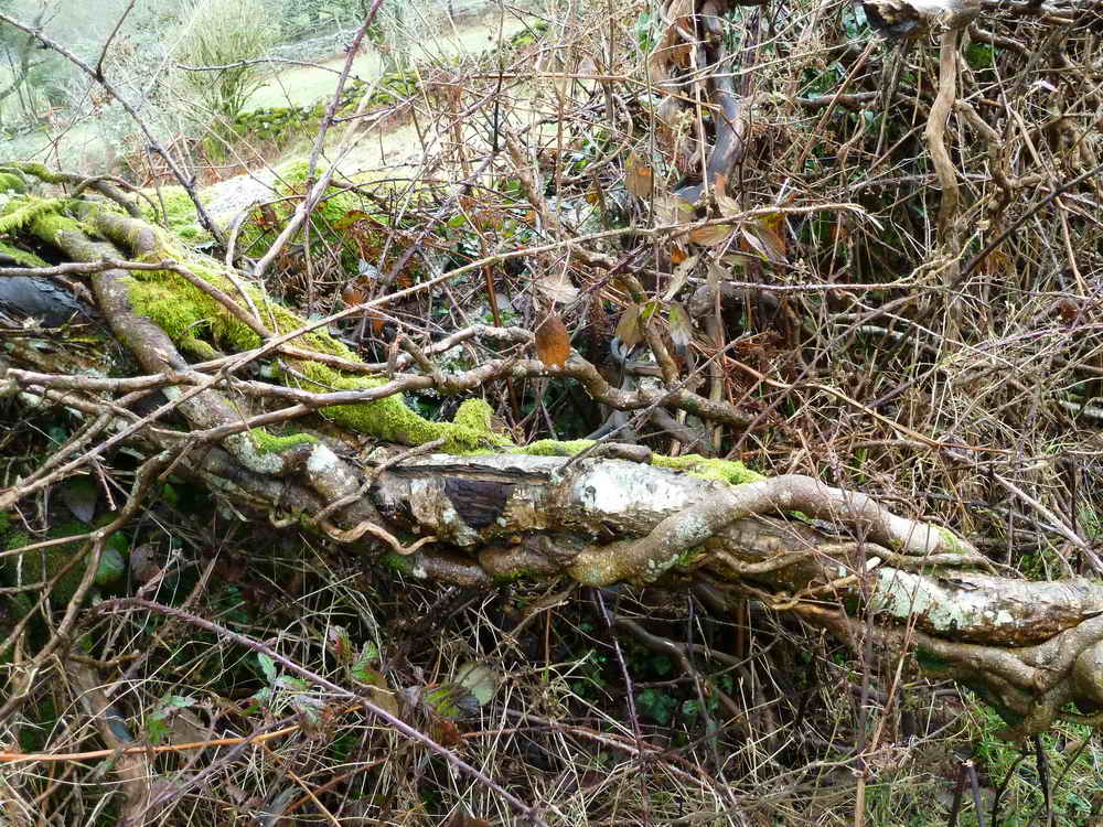
An artistic impression of old tree branch, ivy and moss.
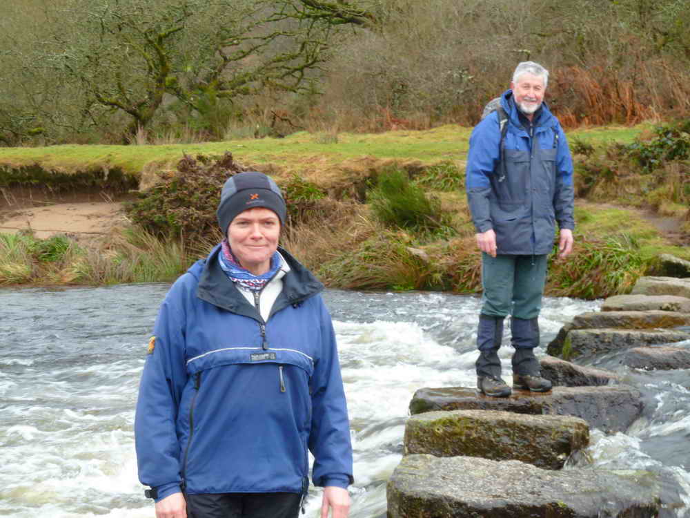
Week Ford stepping stones ..... re-aligned 10 years ago, with two tin mills ("Blowing houses") on opposite bank.
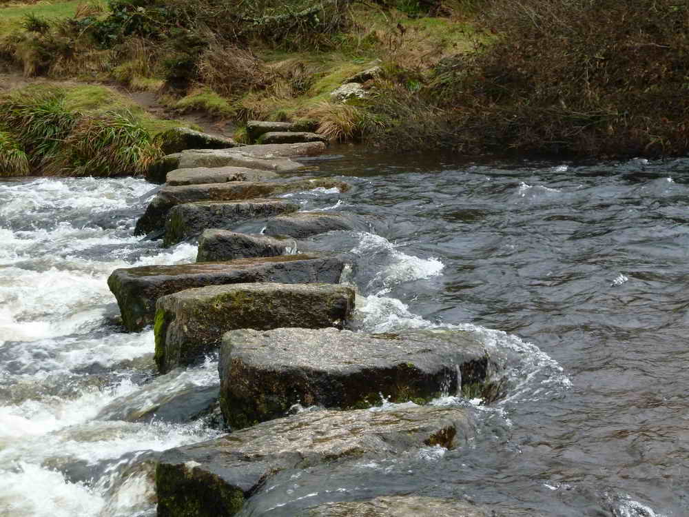
Another view ......
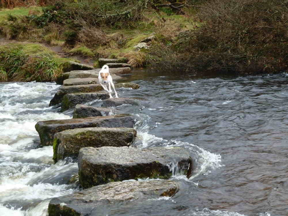
Jess, defying gravity and other rules!
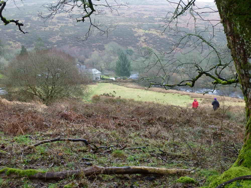
This is where we were!
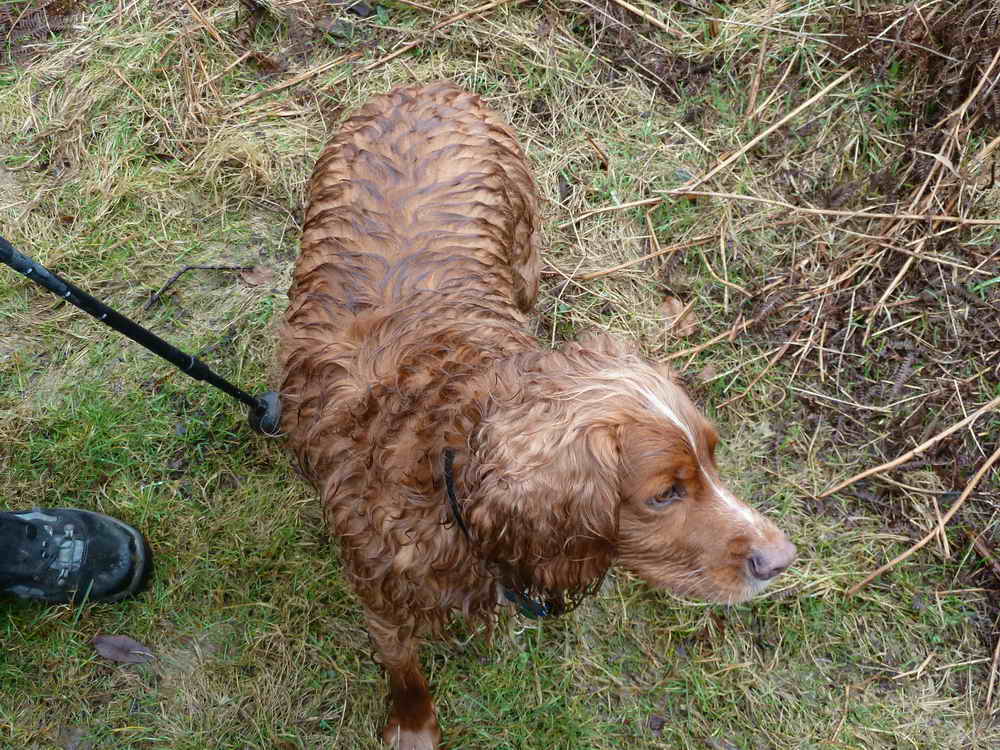
Bobby - wet!
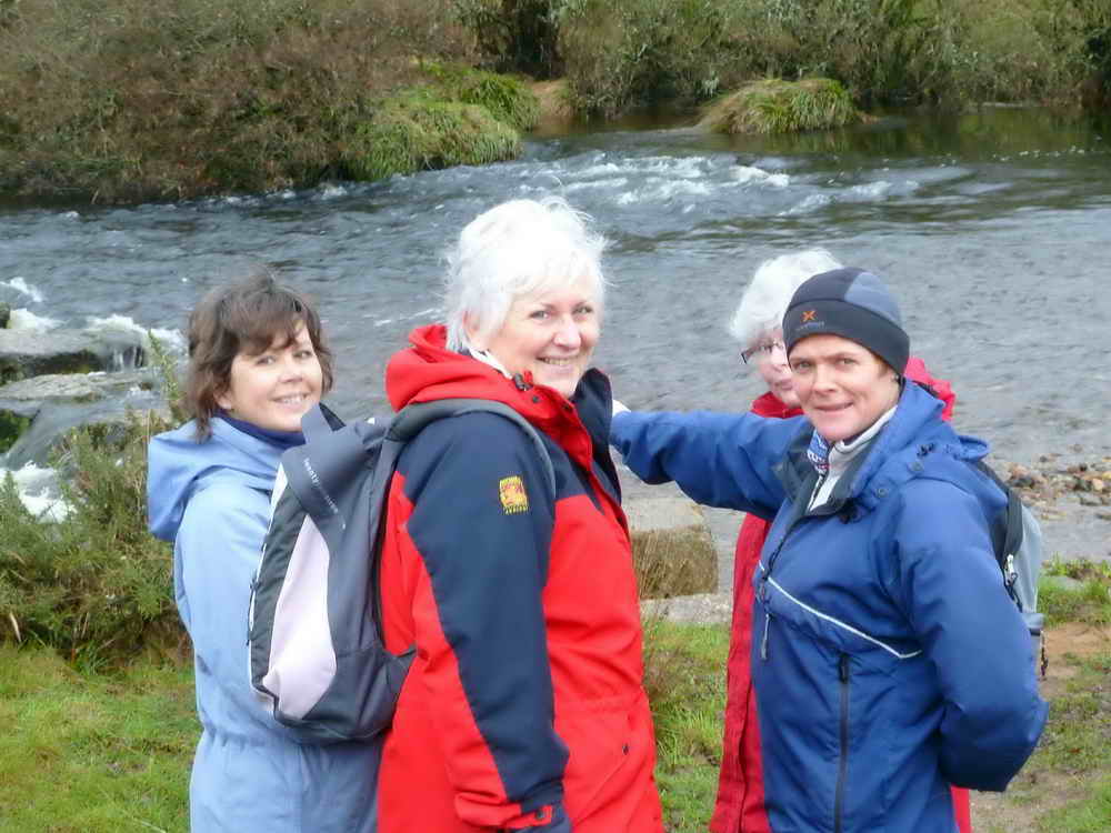
Moira, Rosine, Viv & Liz.
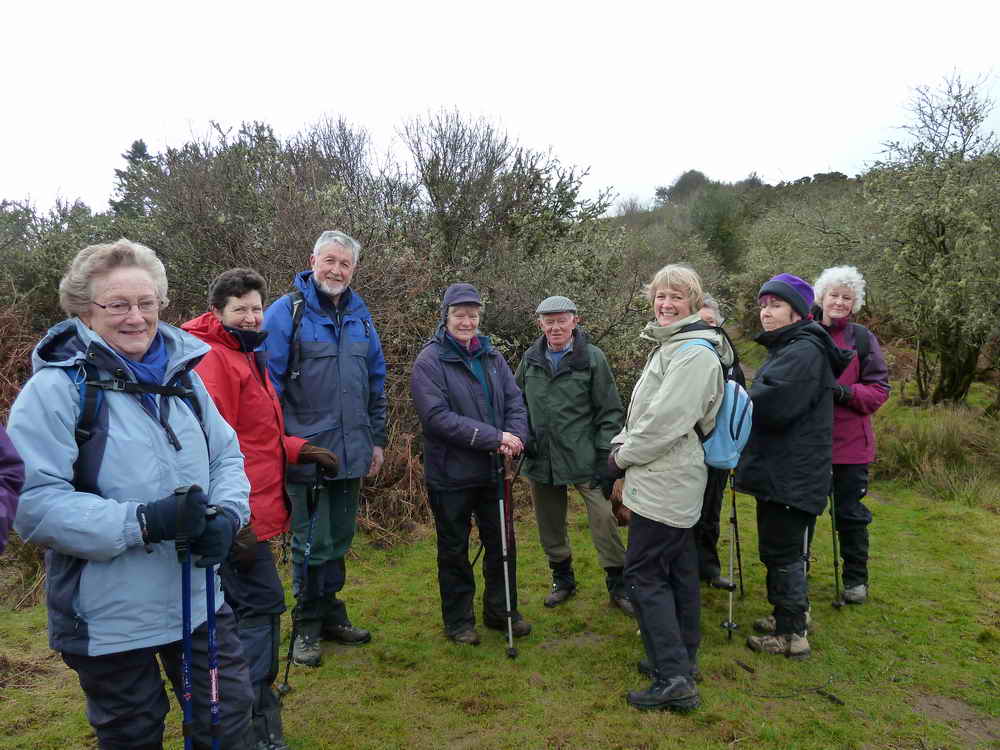
Isobel, Anne, Hugh, Sue, Tim, Jan, Kay (partly hidden), Suzi & Christine.
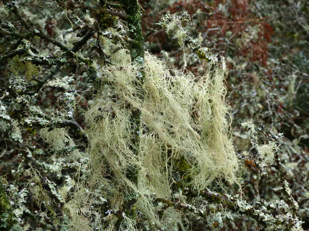
Lichen, Usnea (species not known).
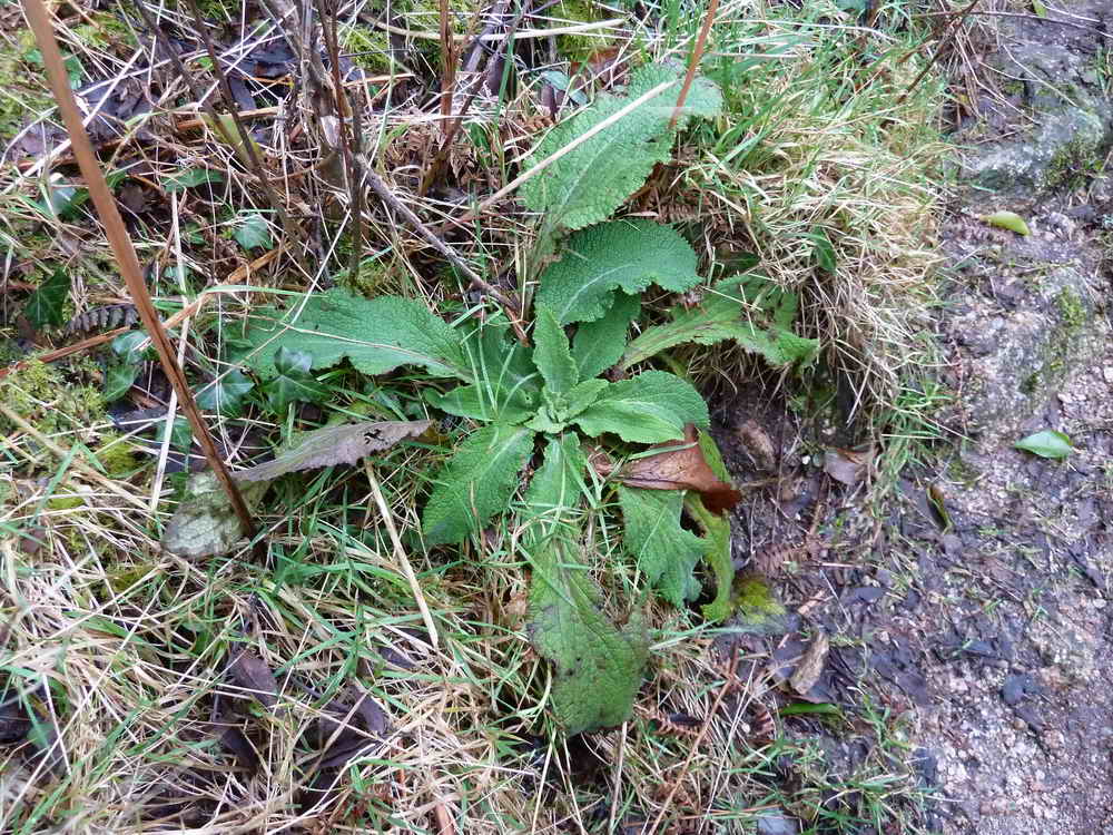
Foxglove plant, Digitalis purpurea.
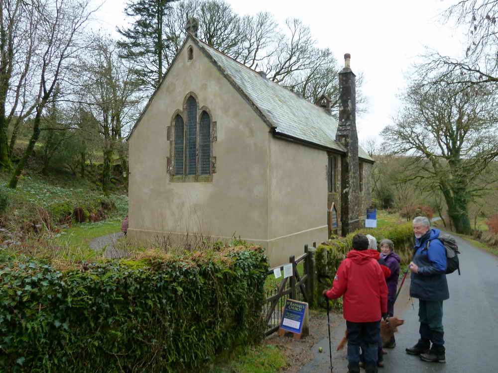
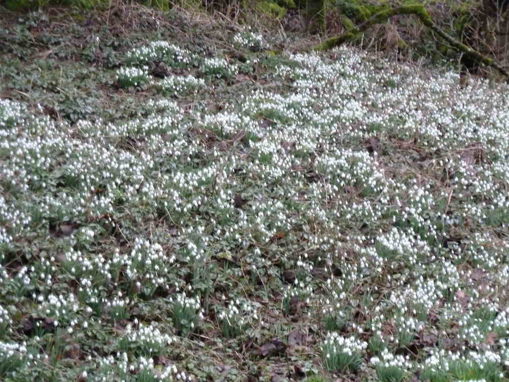
General view from the road .....
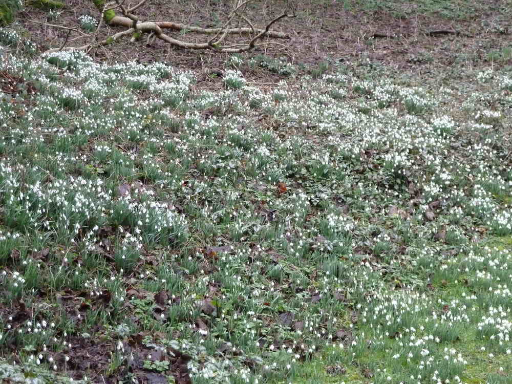
Snowdrops Galanthus nivalis = snowy milk blossom (because each flower is thought to resemble a droplet of milk), also called �Fair-maids-in-February� or �Candlemas Bells (named after Candlemas, 2nd February).
Snowdrops .....
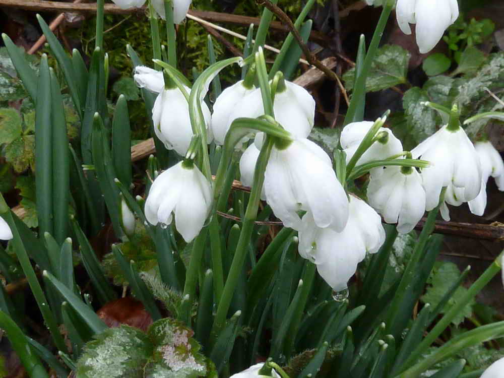
Rather nice close-up!
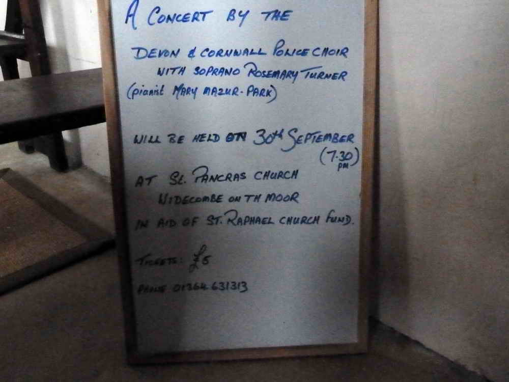
Self-explanatory, mentioning our Rosie!
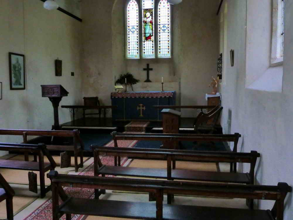
Interior of the church .....
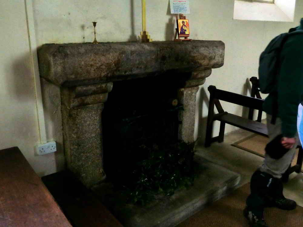
The old fireplace that heated the building that was the school for the area .....
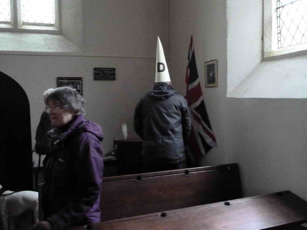
Must be a caption competition (1) ........
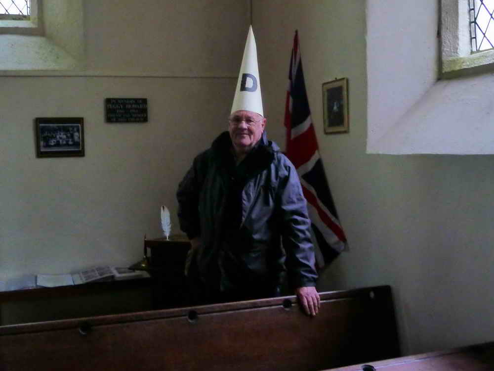
Or, caption competition no. 2 .....
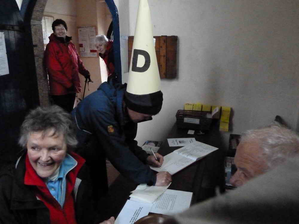
Signing the visitors' book .....
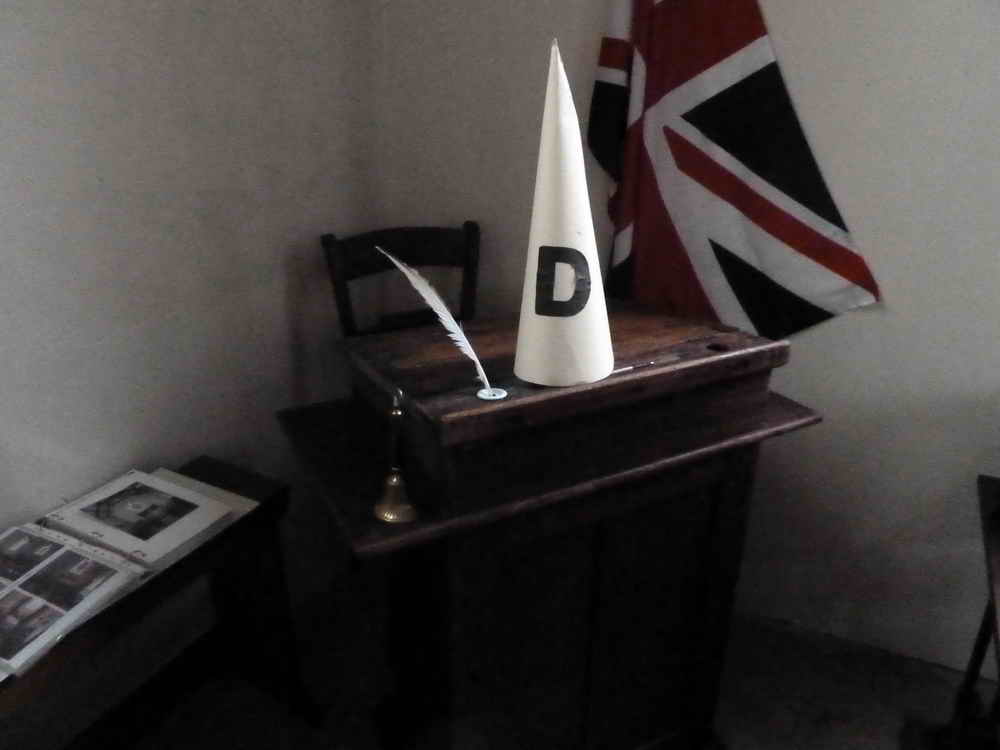
Reminders of the old school that was here .....
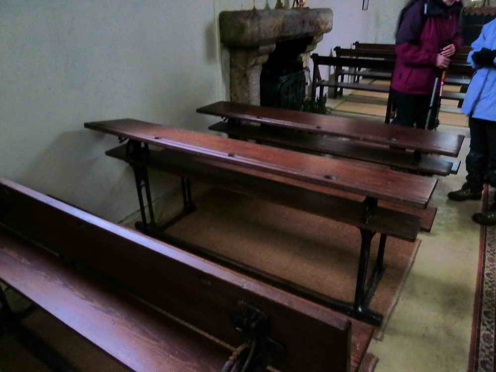
The old school benches, facing away from the altar ......
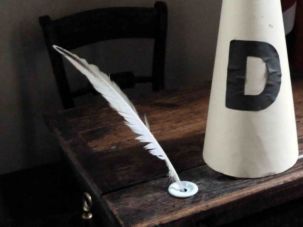
Mementoes of the old school, again.
More snowdrops.
Almost back.
MAP: Red = GPS satellite track of the walk.
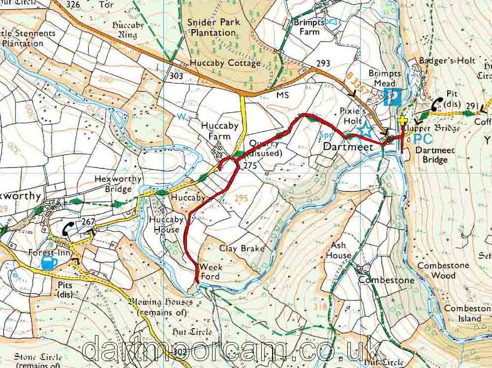
Ordnance Survey © Crown copyright 2005. All rights reserved. Licence number
100047373.
Also, Copyright © 2005, Memory-Map Europe, with permission.
This walk was accessed very easily, using the main car park by Dartmeet Bridge, parked by the yellow cross and the P symbol on the map. This lays on the Two Bridges to Ashburton road.
Statistics
Distance - 4.1 km / 2.57 miles
All photographs on this web site are copyright ©2007-2016 Keith Ryan.