f![]()


This walk: 2011-4-20. Willsworthy Ranges, Emperor Moth cocoon, Black Hill, Ring o' Bells cairn, Down Pool, WD (War Department) boundary stone, WB (Willsworthy Manor) bound stone, Wheal Jewell leat and reservoir, Mine Leat, firing range scenes.
A walk in this area was done on 1st Sep. 2010 and another touched on the reservoir and leats on 2nd Sep. 2009.
Walk details below - Information about the route etc.
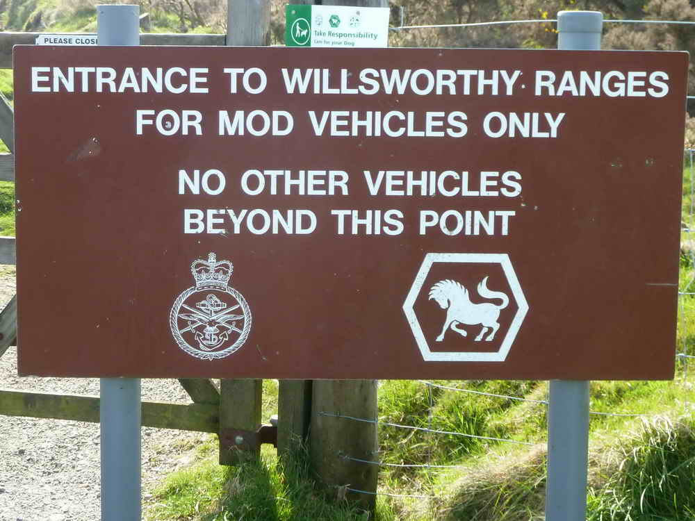
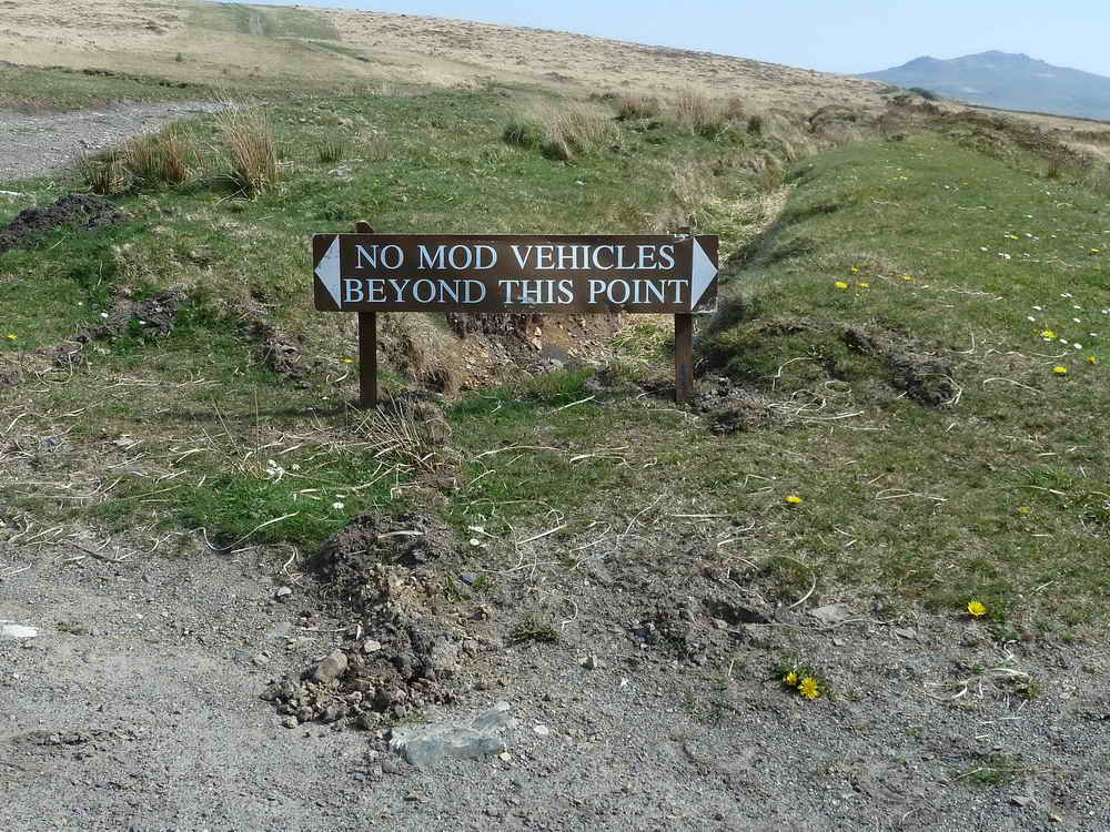
Notice at the entrance to Willsworthy Ranges: there has been military training on the moor since the early 1800's, with a marked increase during the Crimean War (1854-1856). Okehampton Camp was built 1898, housing 750 men., Willsworthy Camp built 1920 (100 men). Live firing on 120 days per year permitted but due to weather, changes in plans etc. it is usually less.
Willsworthy is the most heavily used of the three ranges (the others being Merrivale and Okehampton) because it is owned by the MOD, bought from Calmady-Hamlyn family in 1903 and incorporates land once part of Willsworthy Manor - look for bound stones marked WB (see below).
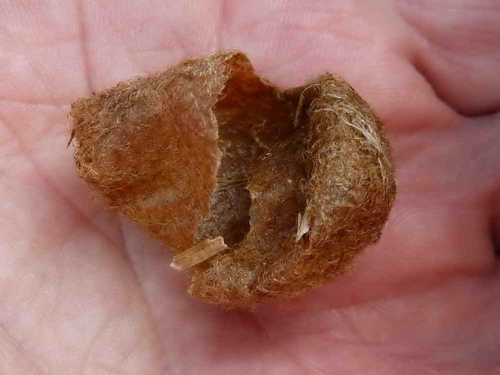
Cast-off cocoon of the Emperor Moth, Saturnia pavonia (more below).
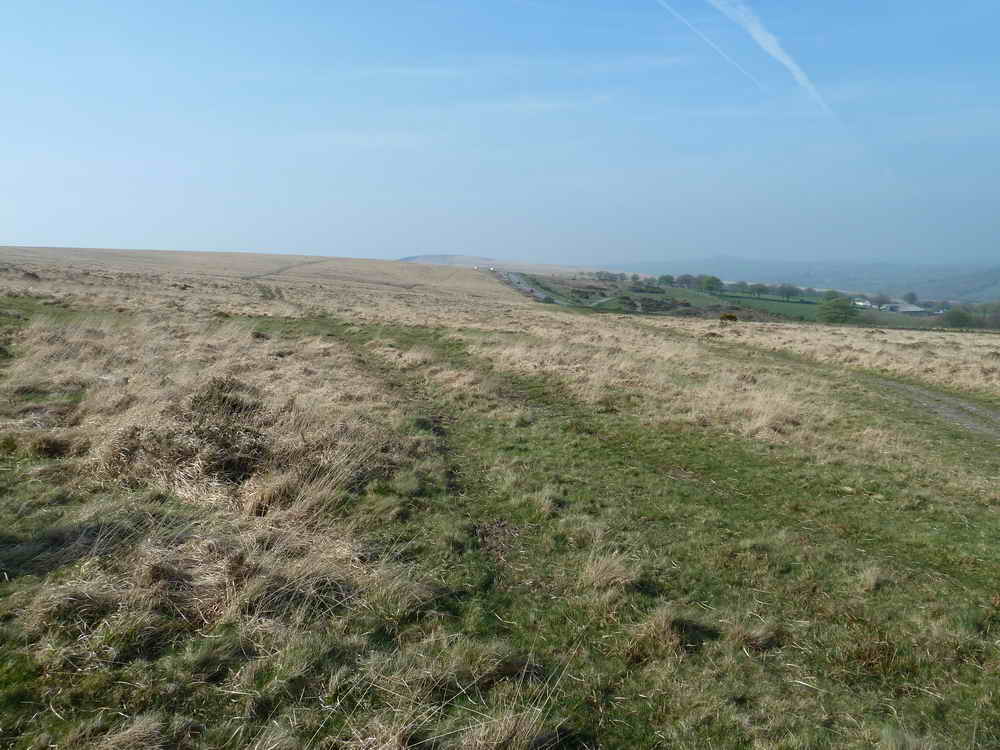
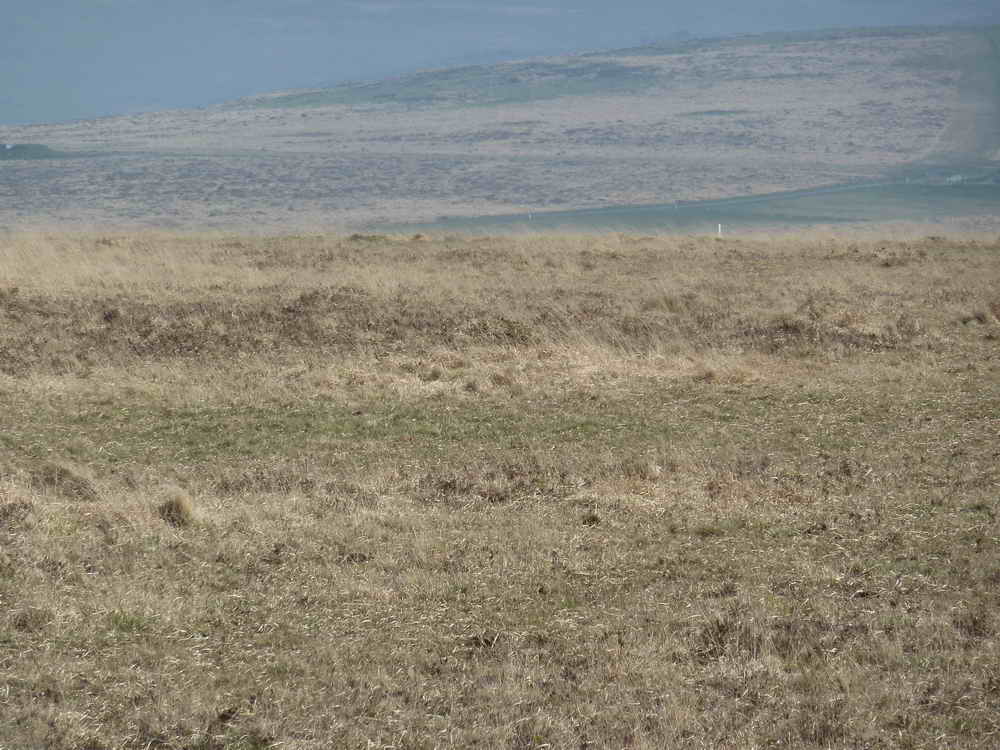
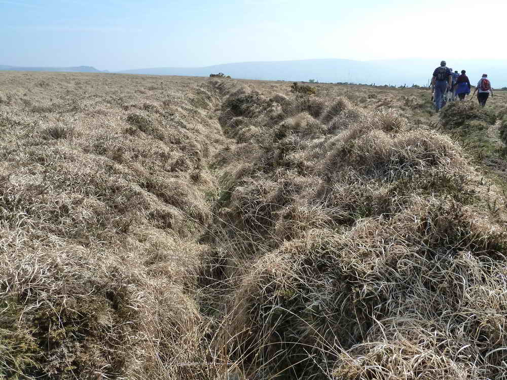
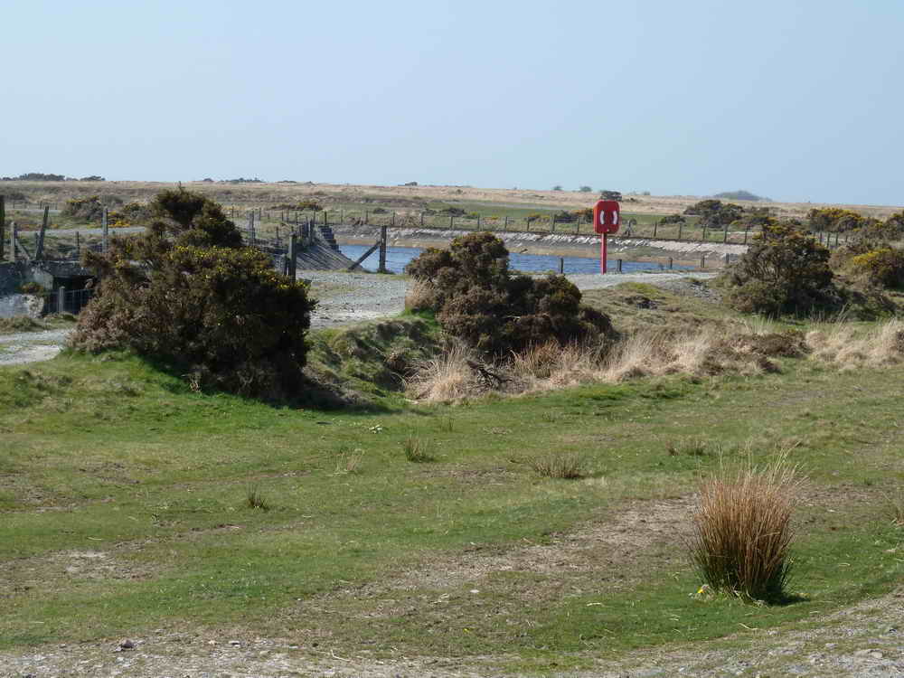
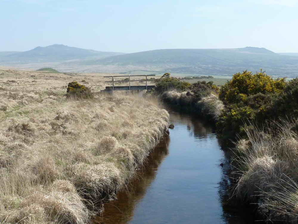
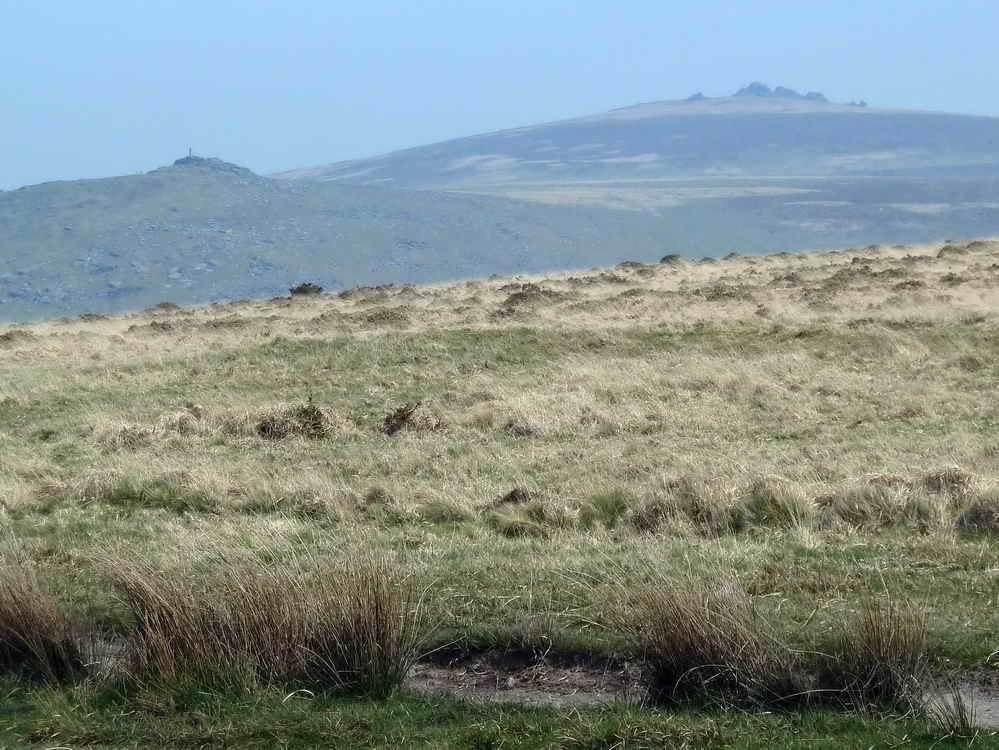
General view of the landscape.
SX 5216 8246, on Black Hill, this is the Ring o' Bells Cairn, so-called because from here can be heard the church bells of Mary Tavy, Peter Tavy and St Petroc's at Lydford. This was a very big circular cairn, now without a stone to be seen.
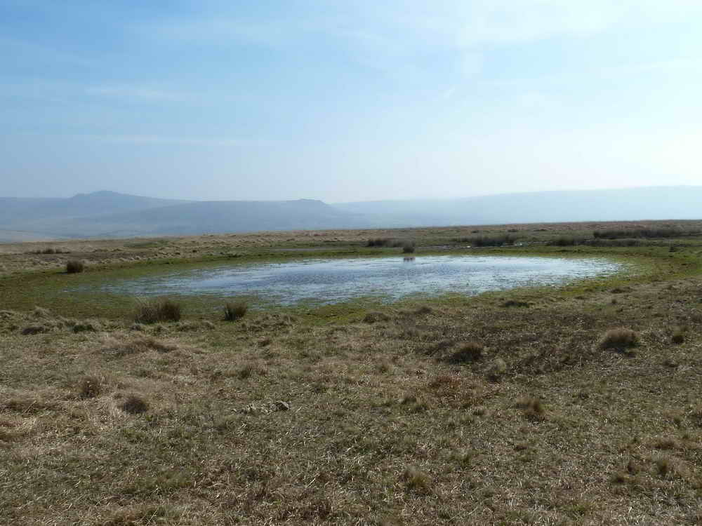
SX 5227 8239, a shallow pond, Down Pool .....
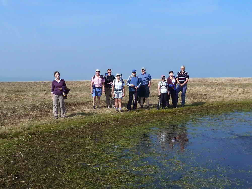
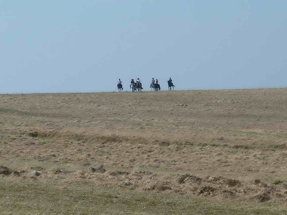
..... with Moor Strollers.
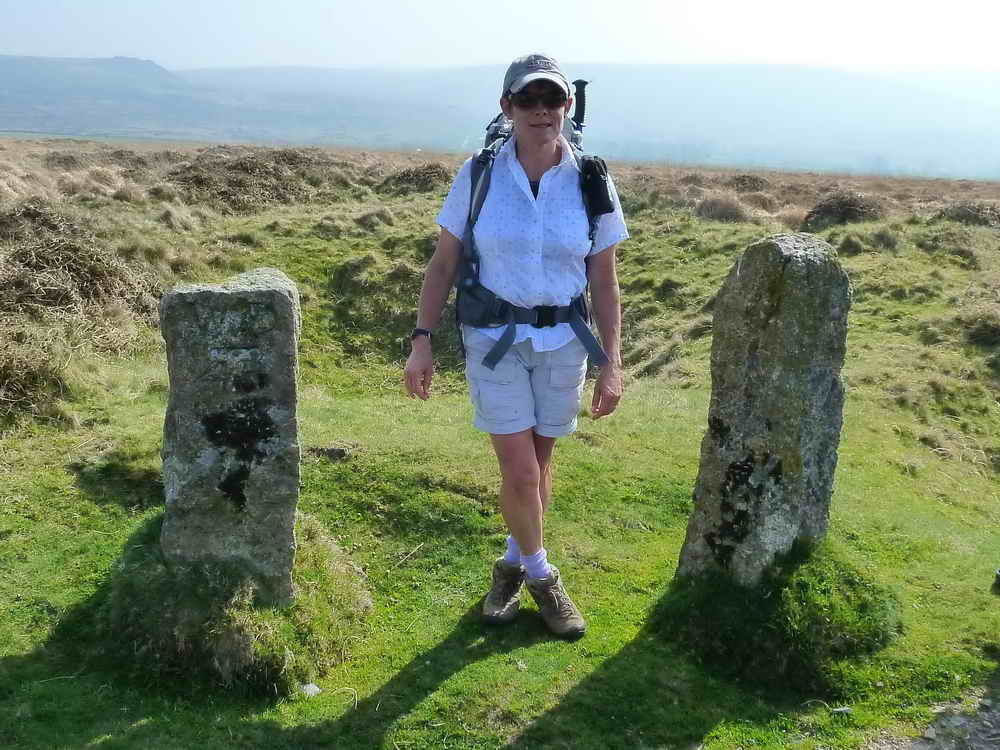
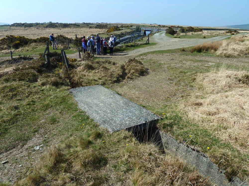
Betwixt and between two marker stones at Tin Pits (see behind), a WD stone (left) and a WB stone (right) ......
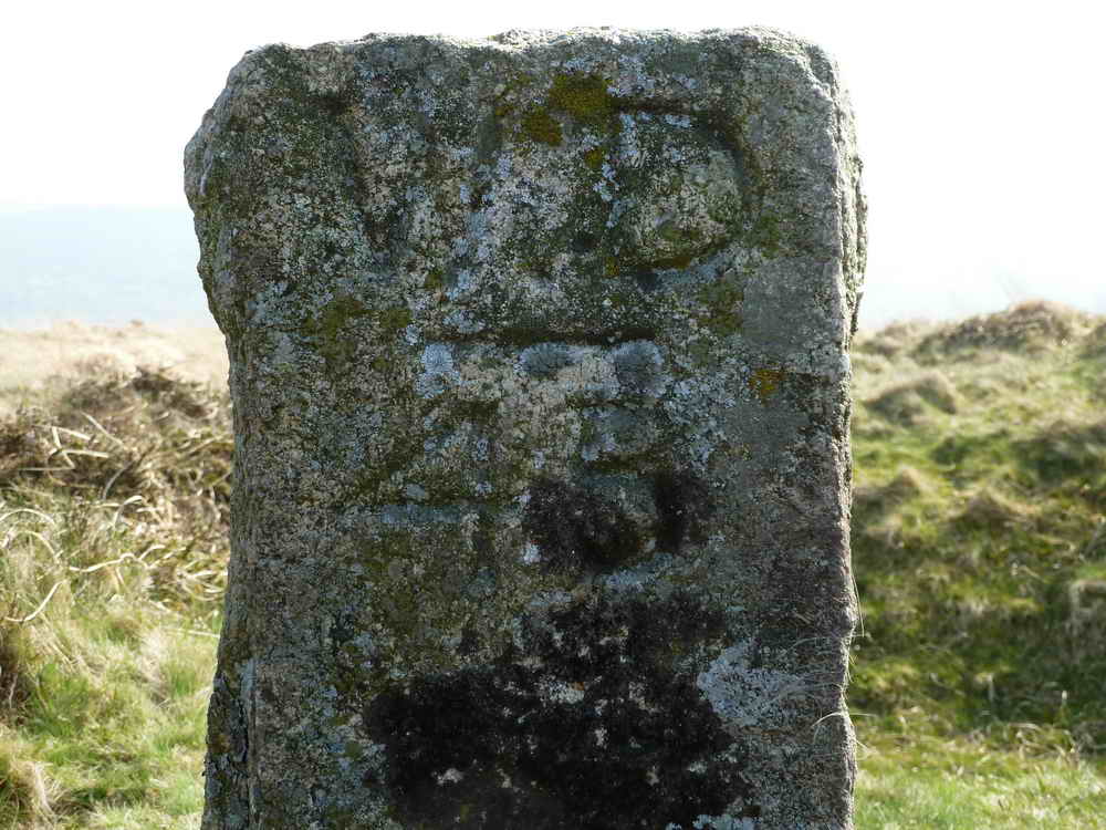
WD 45, War Department stone no. 45 at SX 5238 8220, from a series of 46 stones marking the original 80 acres of the Okehampton range granted in 1891/1892. Source: Dartmoor Boundary Markers, Dave Brewer, Halsgrove, page 214.
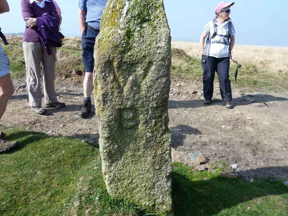
The next-door WB marker, signifying the boundary of Willsworthy Manor. See: Dartmoor Boundary Markers, Dave Brewer, Halsgrove, page 177.
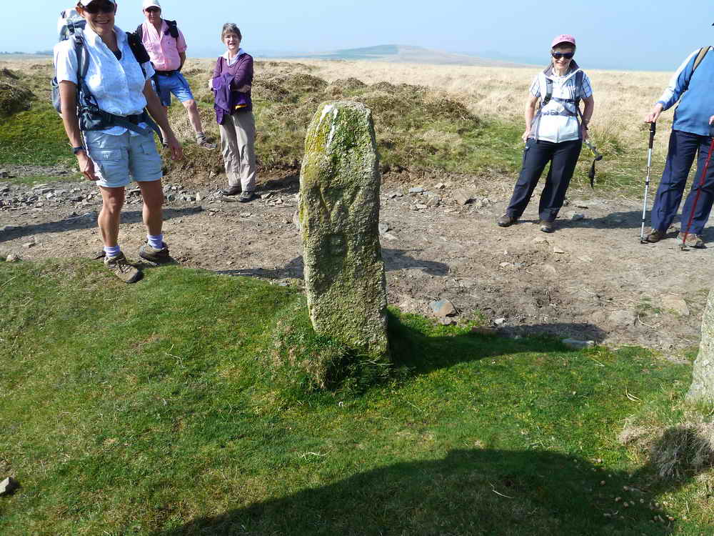
As previous photo.
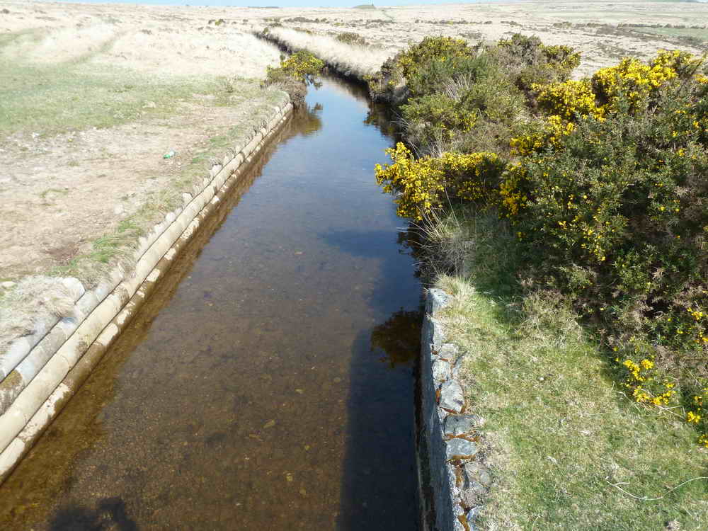
Dried up Wheal Jewell leat, which came off the Wallabrook, at approx. SX 5320 8177. This is higher on the hill, with a running leat leat lower down .....
A glimpse of the Wheal Jewell reservoir as we passed by. Constructed in 1936 to supply the hydro-electric power station at Mary Tavy, formerly an open works and part of the Wheal Jewell tin mine.
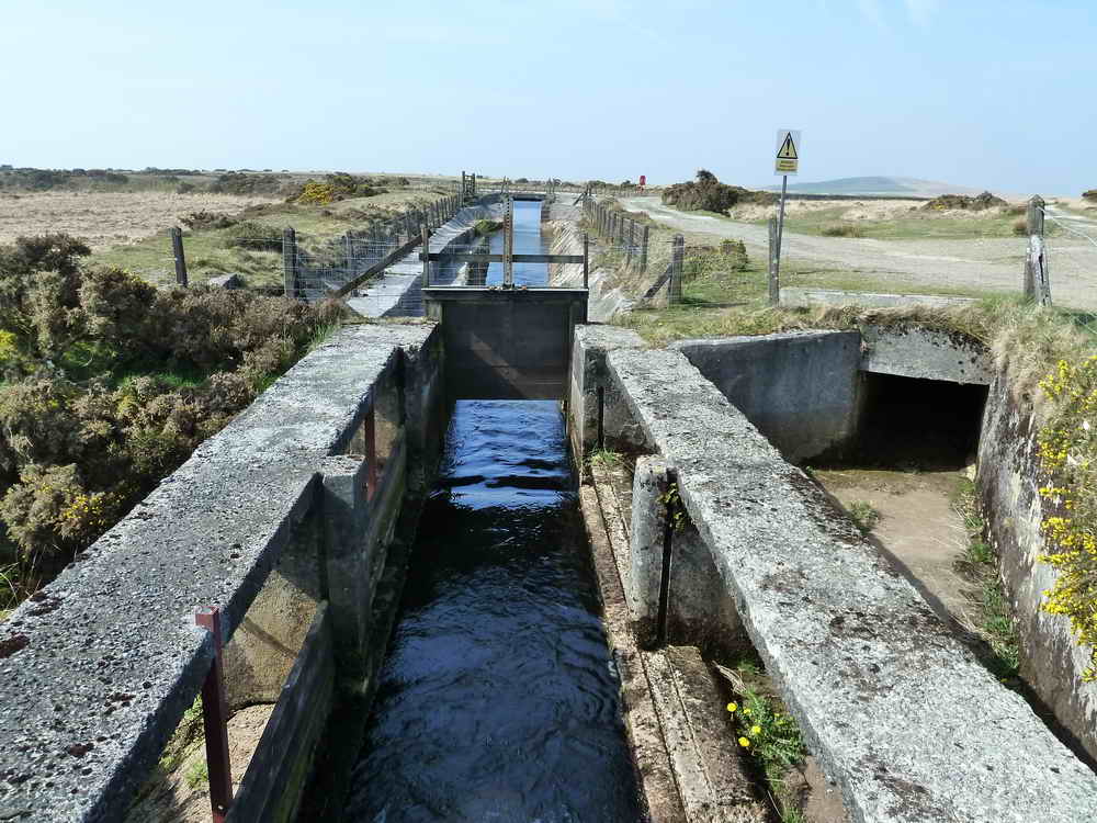
Mine Leat coming into the reservoir (drops 26 inches in 2.5 miles).
These leats powered 17 water wheels including two that were 50 ft diameter x 10 ft wide at Wheal Jewell (tin), Wheal Friendship (copper) and Wheal Betsy (zinc, silver and mostly lead).
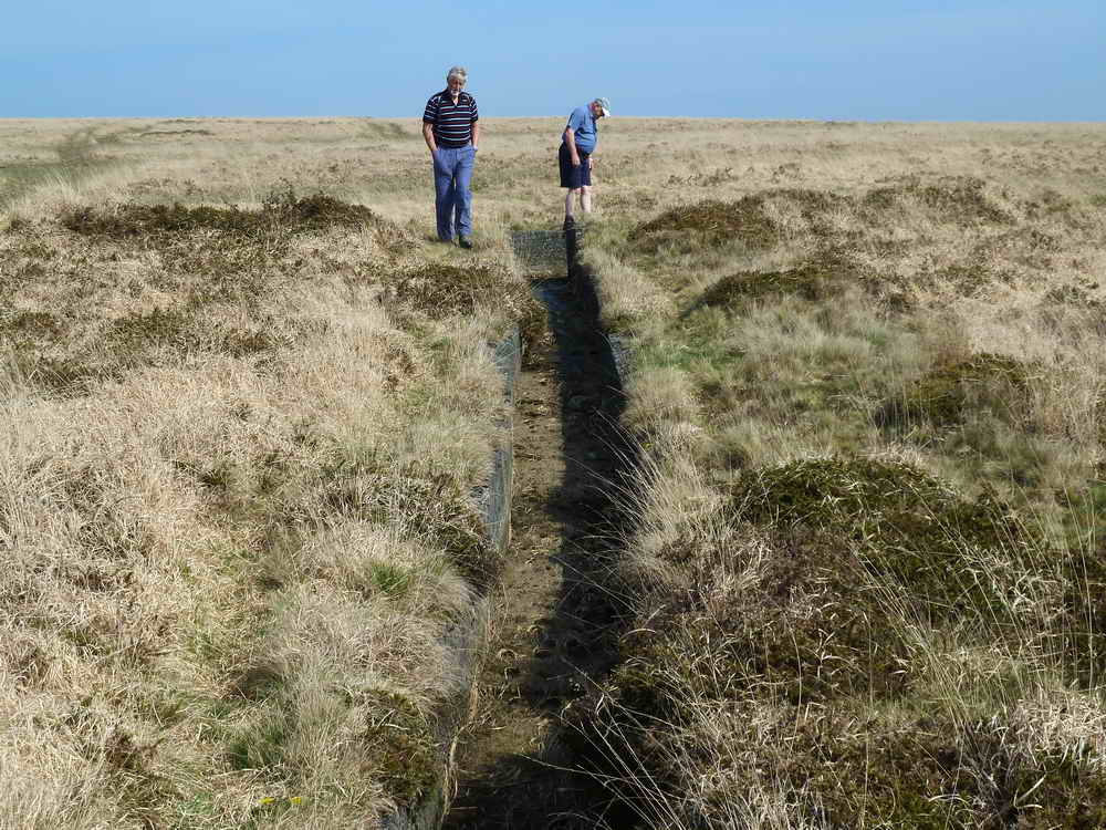
Investigating a dried section.
A little water present and a damned off section.
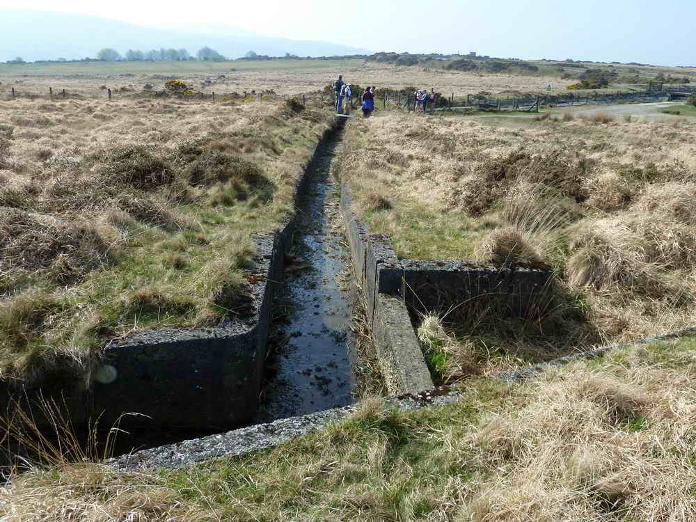
General view for the leat.
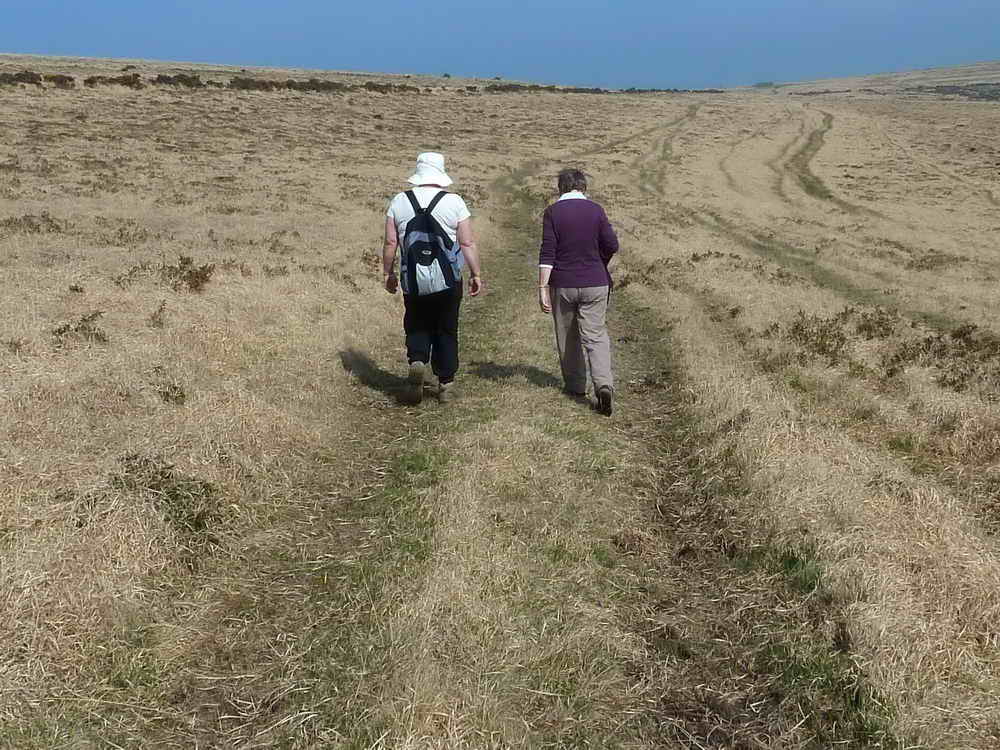
The way ahead, with Viv and Berni.
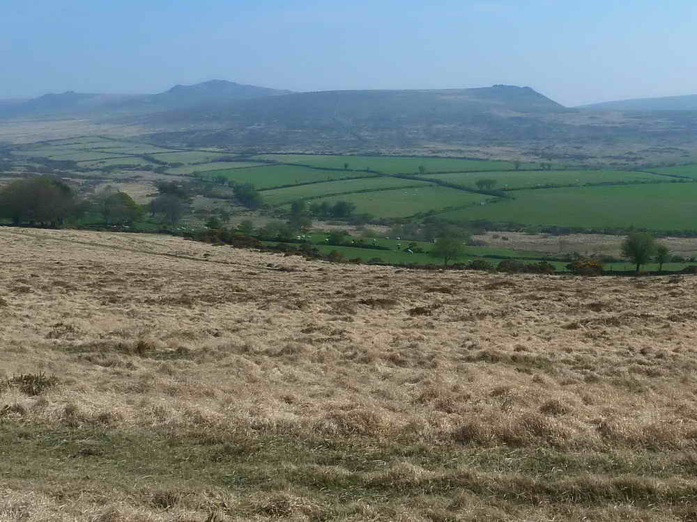
Sharp Tor (left edge), Hare tor (centre) and Ger Tor (right) - the latter being at the entrance to Tavy Cleave.
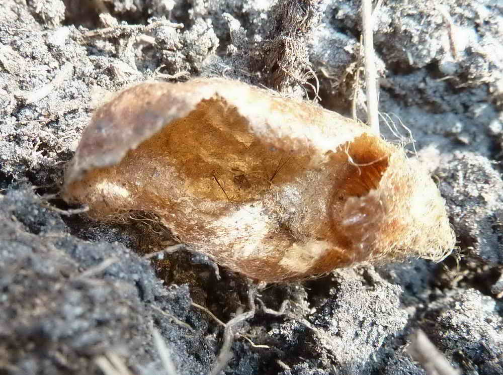
Another Emperor Moth cocoon.
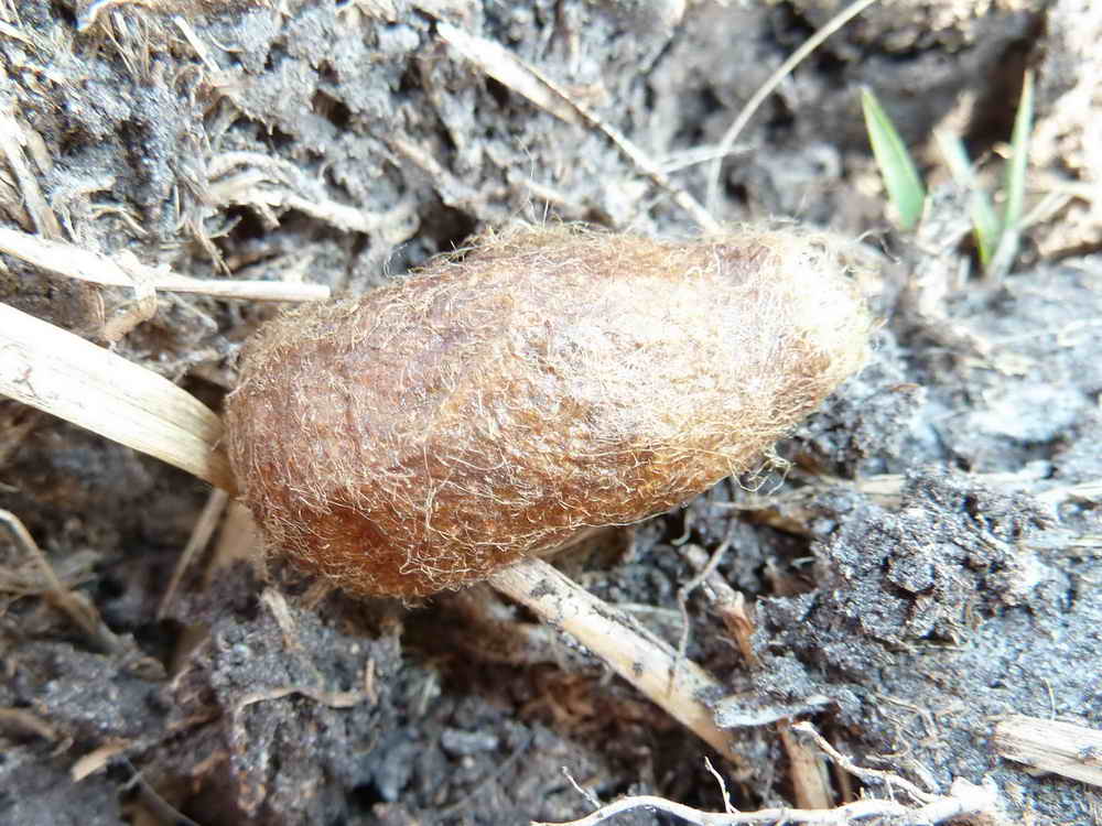
As previous photo.
Crossing Mine Leat at SX 56282 82717 .....
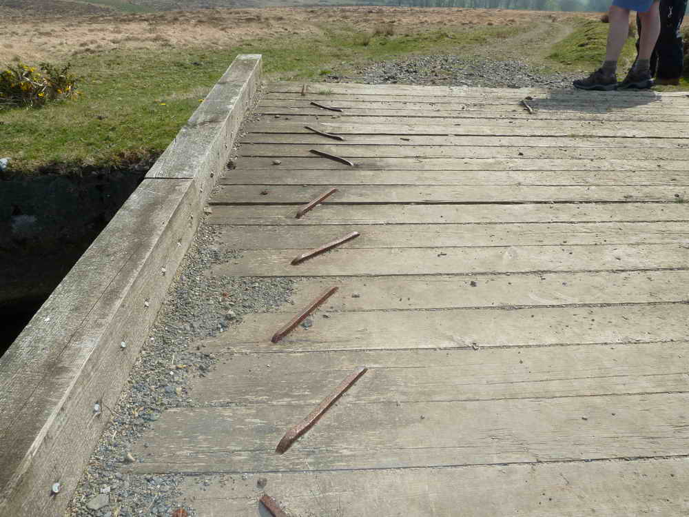
A view of the footbridge ......
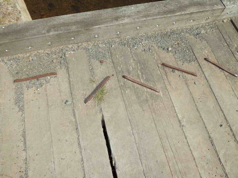
This involved a very large stapler!
The leat again.
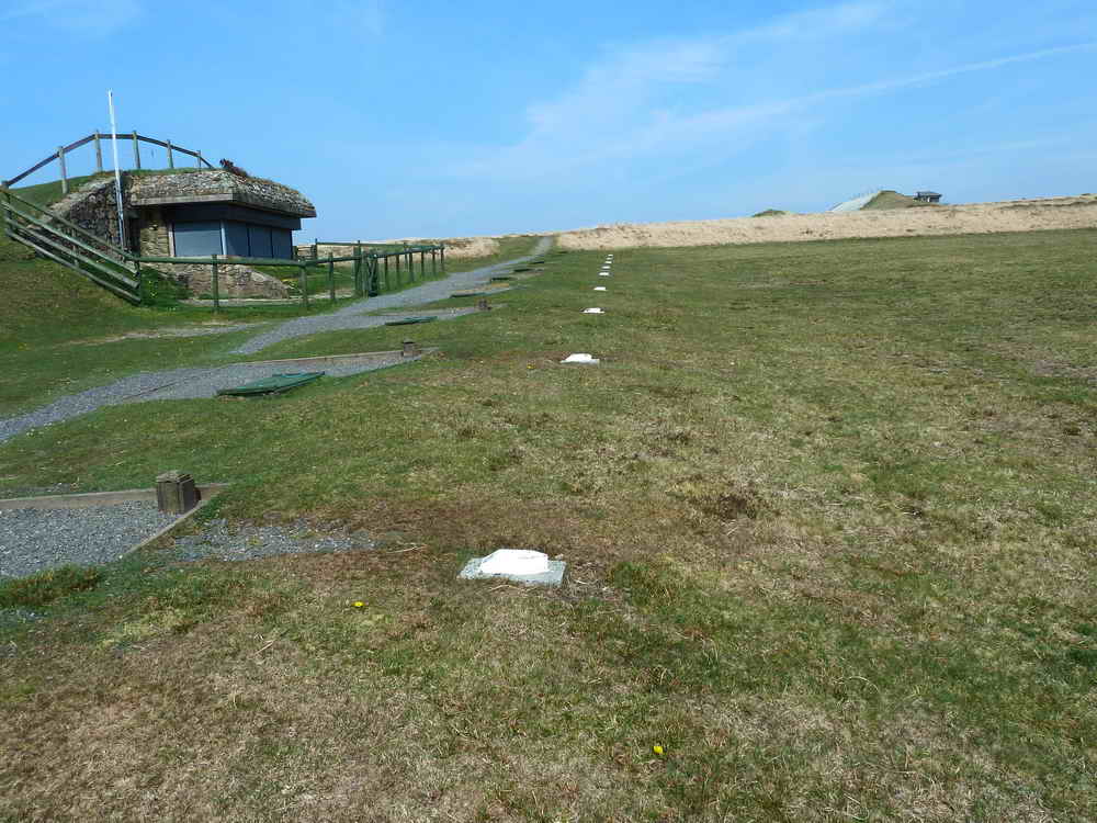
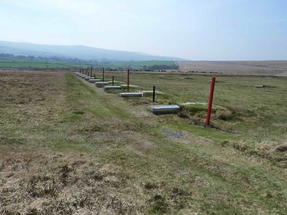
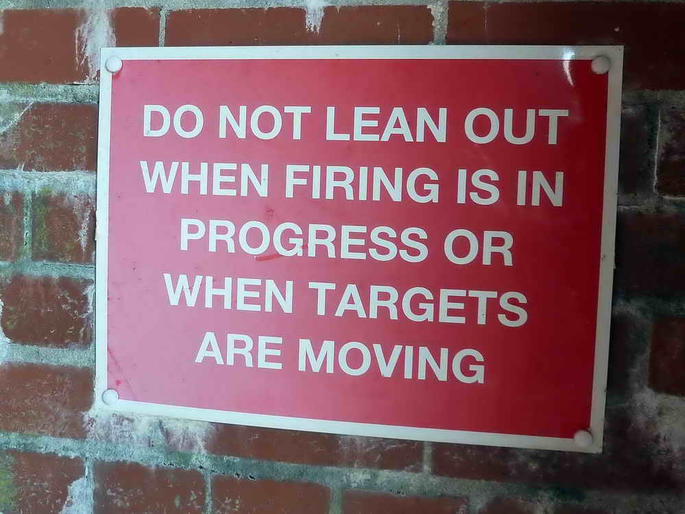
Army firing range, with the firing points (at left, along the path).
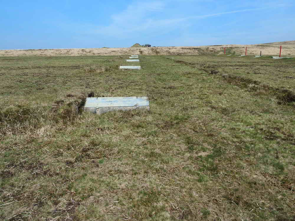
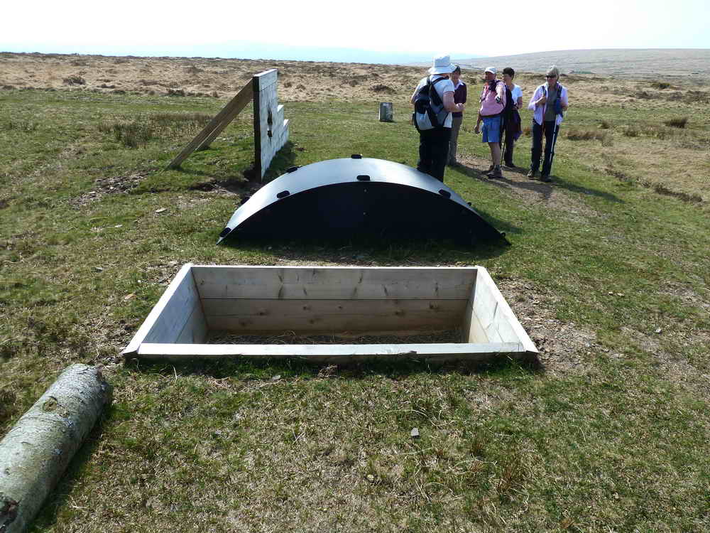
Target containers .....
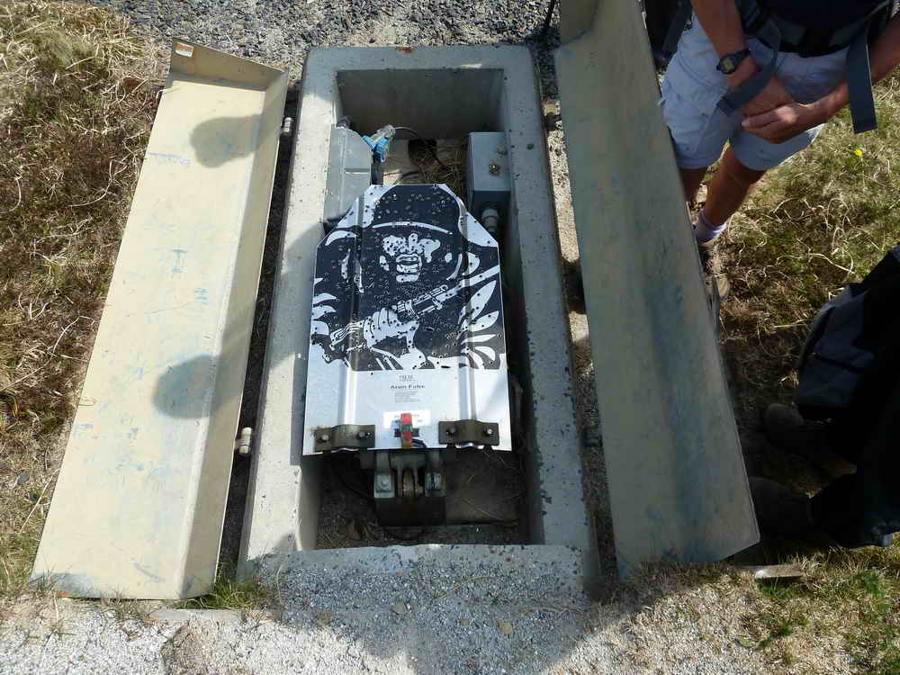
An opened electronic target housing.
More targets housings..
No caption necessary.
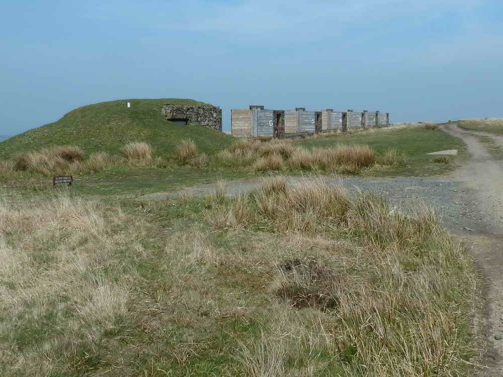
Part of the more hi-tech target area .....
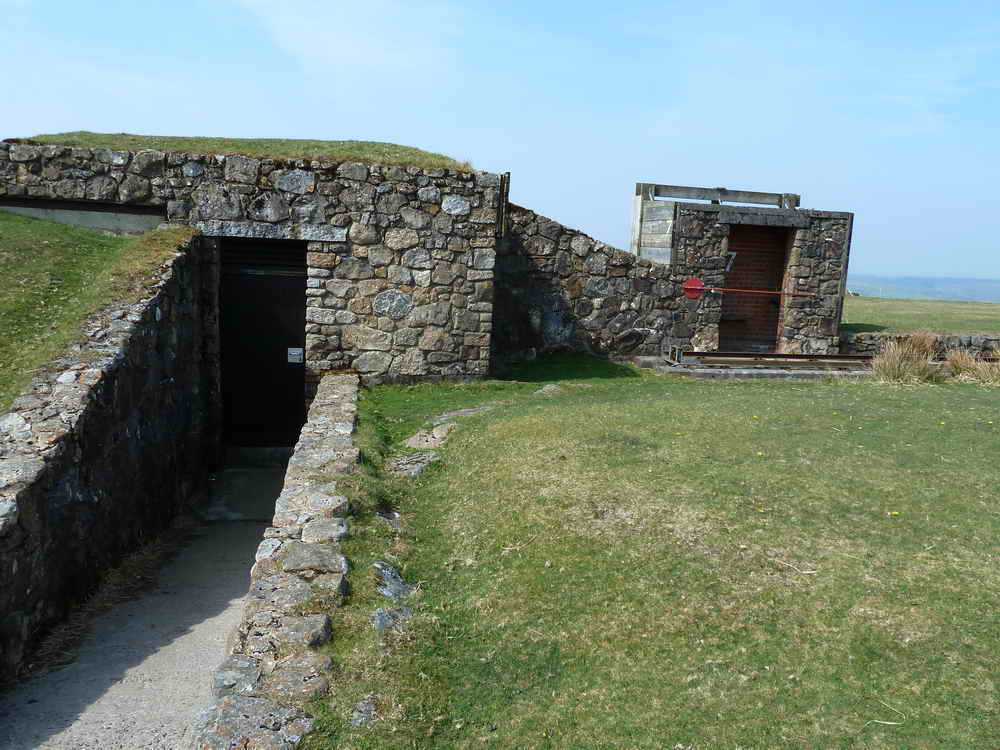
Entrance to a control box for an electronic railway target system, with a presumed maintenance kiosk right of centre .....
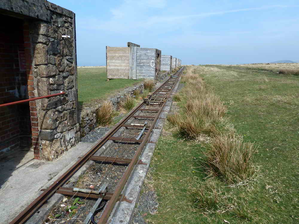
The railway that carries targets .....
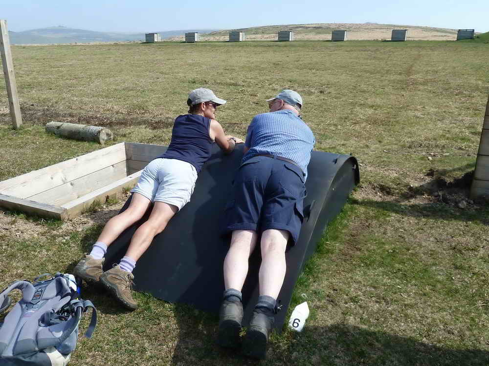
Fair enough!
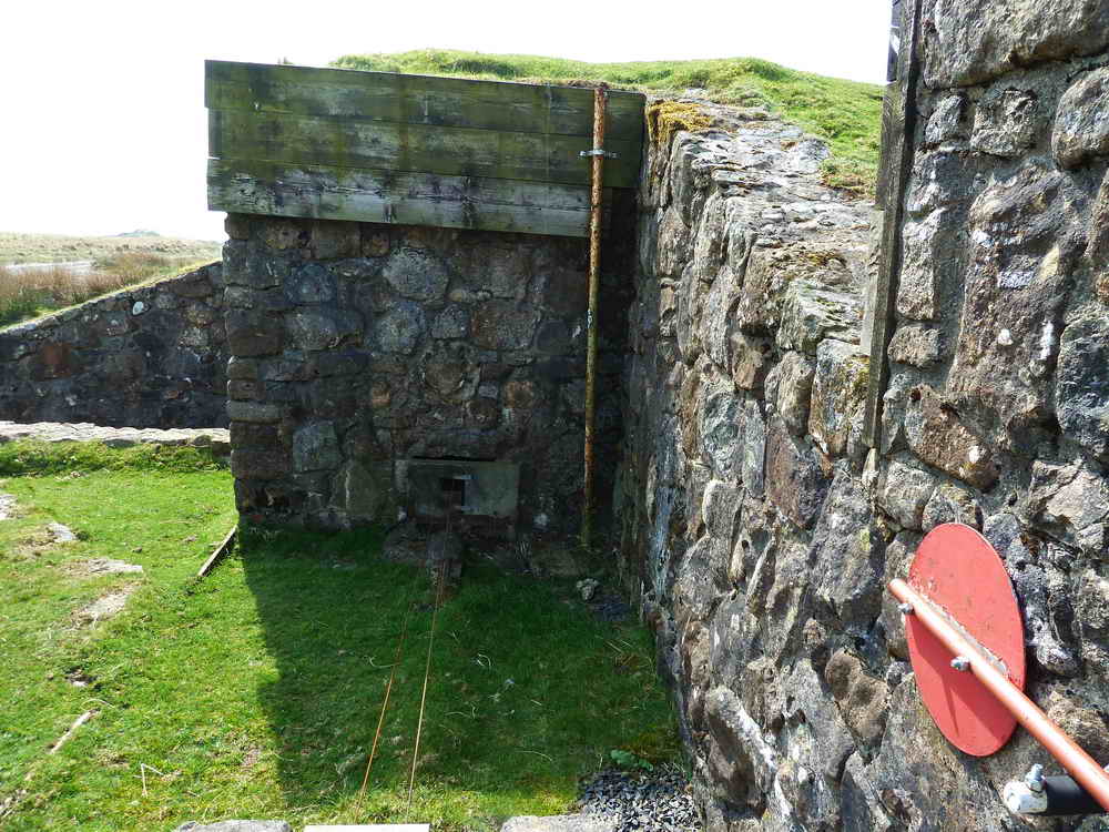
Another view of the control box .....
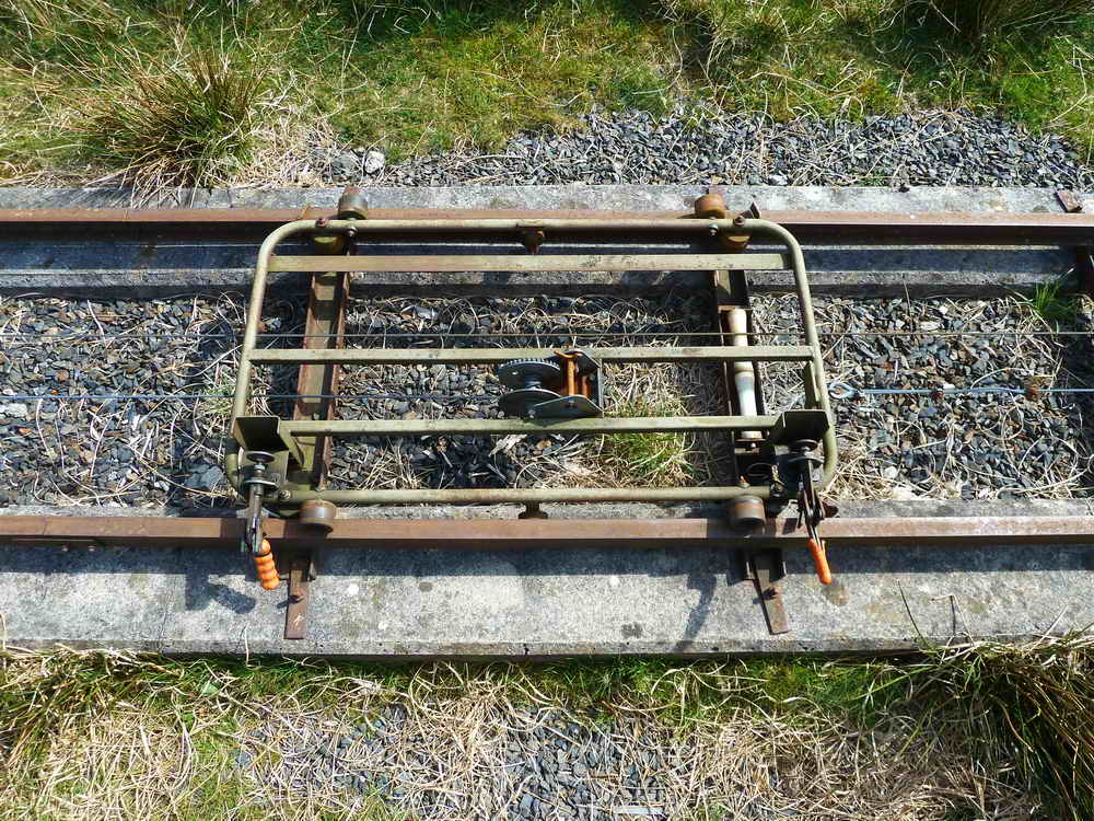
A railway trolley that carries the targets.
View to Widgery Cross/Bray Tor (left) and Great Links Tor (right).
Just a photograph!
The firing points that shoot towards the railway targets ..... the control kiosks are seen in the next photo .....
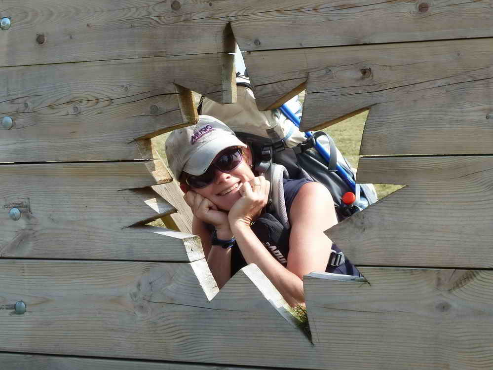
This has to be a caption competition - please email your captions!
Red = GPS satellite track of the walk.
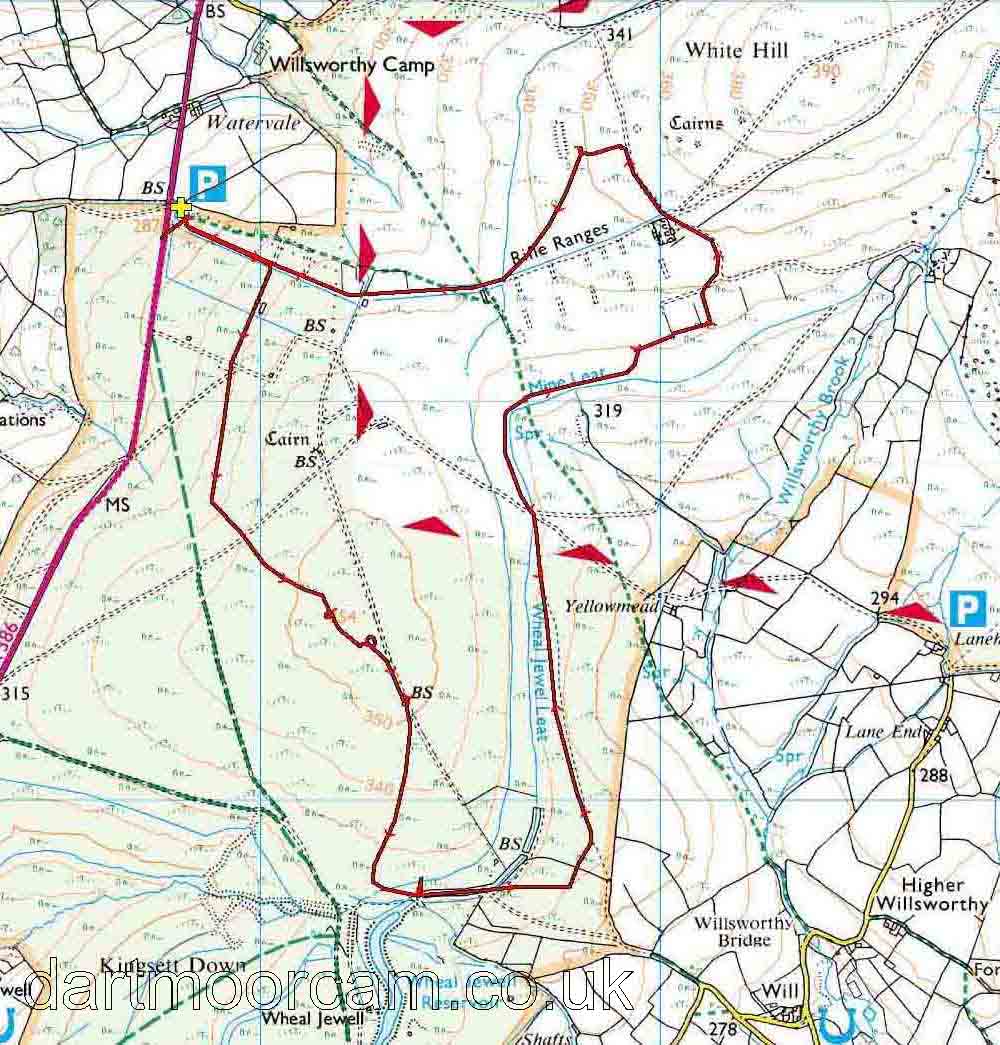
Ordnance Survey © Crown copyright 2005. All rights reserved. Licence number
100047373.
Also, Copyright © 2005, Memory-Map Europe, with permission.
This walk was approached by driving from Tavistock towards Okehampton and parking on the right, at the entrance to Willsworthy Ranges, just where the high, open moor that passes Wheal Betsy ends and enclosed fields begin.
Statistics
Distance - 6.94 km / 4.3 miles
All photographs on this web site are copyright ©2007-2016 Keith Ryan.
All rights reserved - please email for permissions