![]()


This walk: 2011-4-28. Red Lake tramway - or "Puffing Billy" track, star-shaped hole in a stone, Spurrell's cross, UH boundary stone, Erme valley, Hillson's House, Three Barrows, Left Lake, pipeline, Hare's Tail cotton grass, Red Lake china clay spoil tip, lakes, Candy brick, Avon Reservoir, Dartmoor Submarine (Eastern White Barrow).
"The Redlake Tramway commenced on the edge of nowhere and terminated right in the middle of it", EA Wade, 1982.
| Some
background ..... Source: EA Wade, 1982, The Redlake Tramway and China
Clay Works, Twelveheads Press, Truro.
1846, South Brent Peat and Peat Charcoal Works
established at Shipley Bridge to extract naphtha from peat (p.11). 1850, Leftlake china clay works first opened in
about 1850 (p.8). 1872, Brent Moor Clay Company formed. Worked former Knattabarrow clay works, became known as Petrie's Pit, close to the old Zeal Tor Tramway. A branch line was built and the old naphtha works converted to clay dries. Abandoned 1880 (p.13). Re-opened 1923 by then-owner of Redlake works, this seems to have been short-lived. 1911, The Redlake Tramway was opened 11 September
(p.23). |
Walk details
below - Information about the route etc.

Stone with bored holes among the hut circles near Harford Moor Gate, at SX 64432 59336 .....

Note the star-shaped hole!
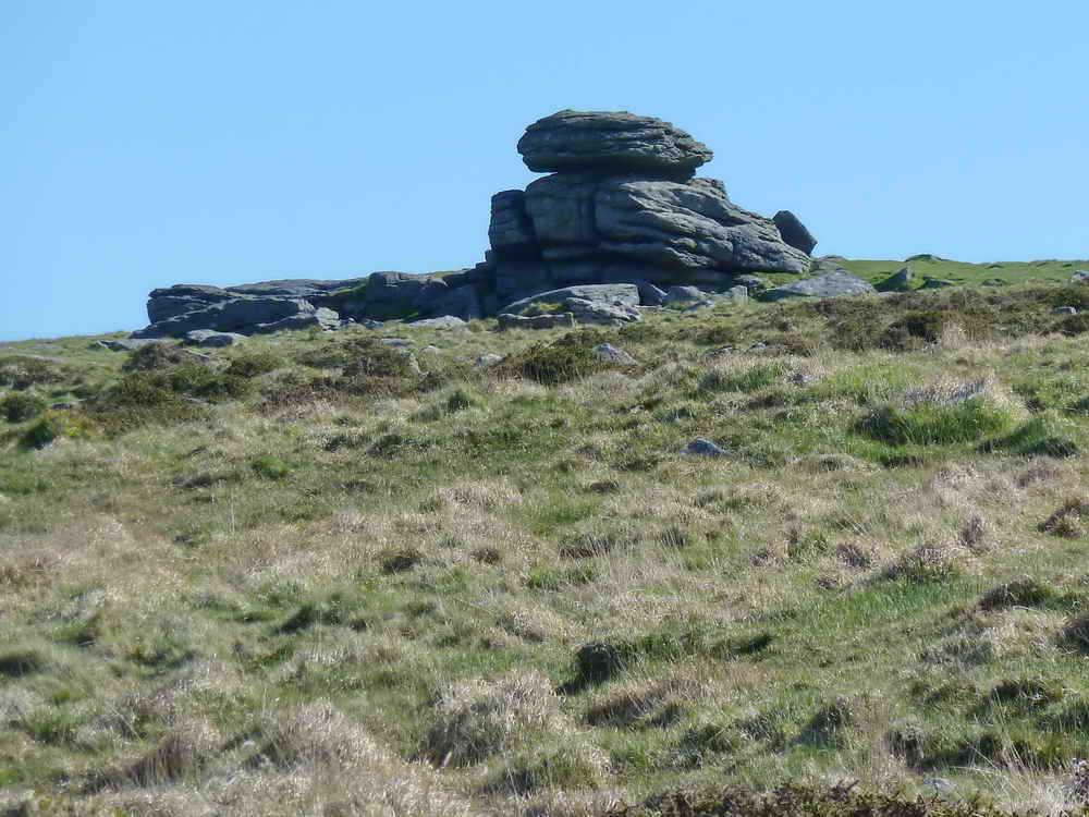
Hangershell Rock, SX 65403 59345.
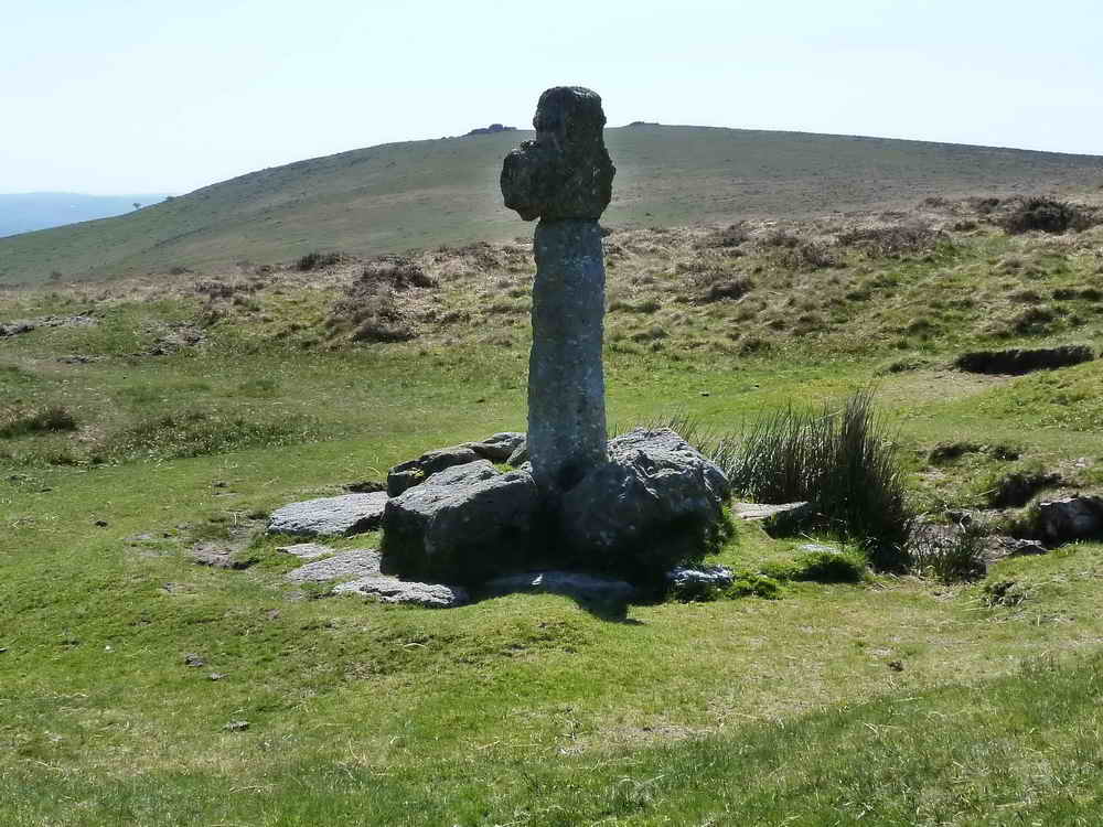
Spurrell's Cross, restored with a new shaft in the 1930's, with the cairns of Ugborough or Eastern Beacon in the distance.
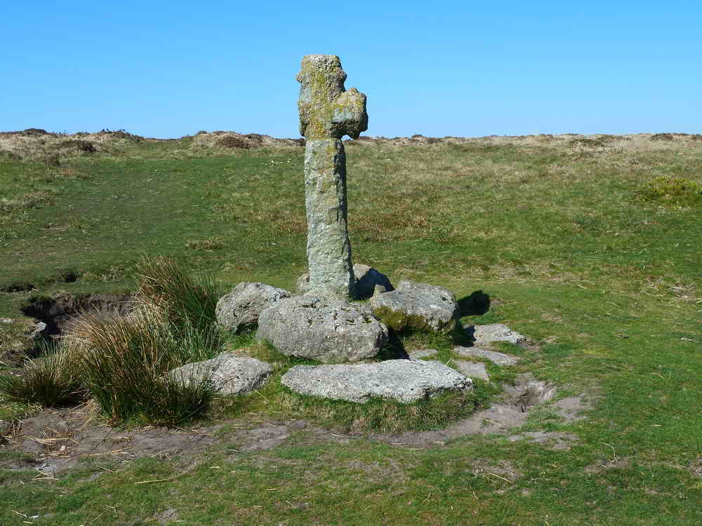
The cross seen from the other side - note the spurs on the two remaining arms - this is unique among Dartmoor crosses.
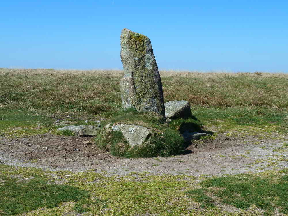
Boundary stone at SX 65393 61063, "U" signifies Ugborough .....

"H" signifying Harford.
Three Barrows cairn.

View across the Erme valley from near Three Barrows. Hillson's House is just visible on the hill top and on the original 4.5 MB file, the end stones of the stone row that is to the right of Hillson's House can be seen, as shown in the next photo .....
The standing stones are on the sky line, 1/3rd of the way in from the right edge of the photo.
Another view to a cairn, location uncertain.

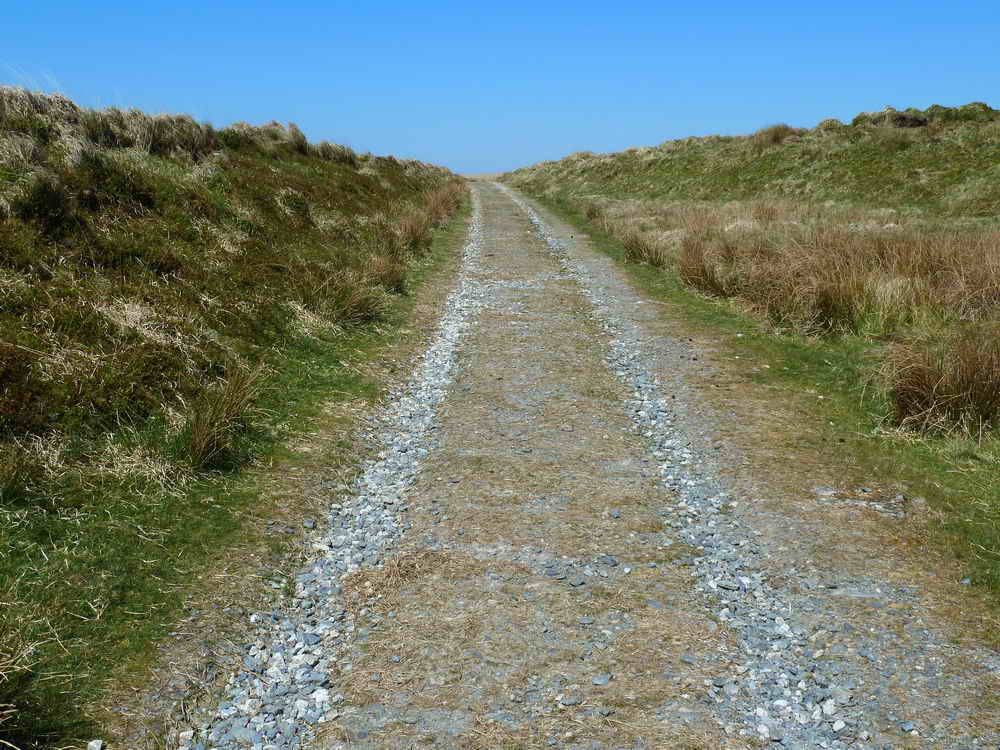
A view of the dismantled "Puffing Billy" tramway (Redlake Tramway) up to Redlake china clay works: established 1911, closed 1931. Surveyed by R Hansford Worth it is 7� miles long and runs between Redlake clayworks (at 449m / 1473 ft) and Cantrell (at 274m / 898 feet). it was used to take men and materials (coal for steam engine, iron and general supplies).

An inspection pit and manhole, one of several seen later .....
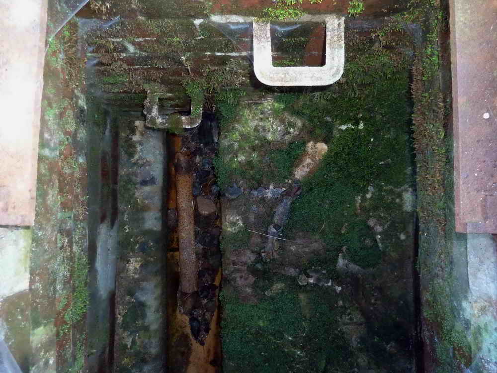
Looking down inside the inspection hatch, two steps down to an open pipeline, now dry.
SX 64558 63307 - a disused building, possibly the hostel where the clay workers slept (just south of the disused pit half-way up the track).

Clay spoil tip at SX 6468 6348 ..... the area known as Leftlake ..... (Left Lake is a nearby stream) .....

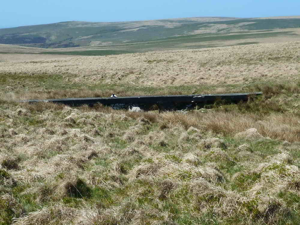
The rather inviting Left Lake, photographed from a bridge along the track .....

Looking down at the bridge, the lake is to the right and the tip to the left (another view on the return walk).

A small pit into the side of the spoil tip - white sand.
A sunken section of the track.
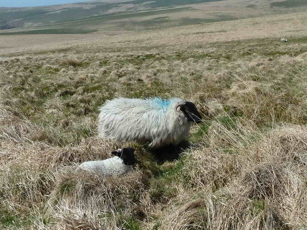
Sheep with lamb, a long way from anywhere.
A section of pipeline, west of the track .....
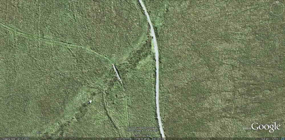
As previous photo but seen on Google Earth.

Another section of pipeline, east of the track .....

As previous photo - seen on Google Earth.

Hare's-tail Cotton-grass (Eriophorum vaginatum).
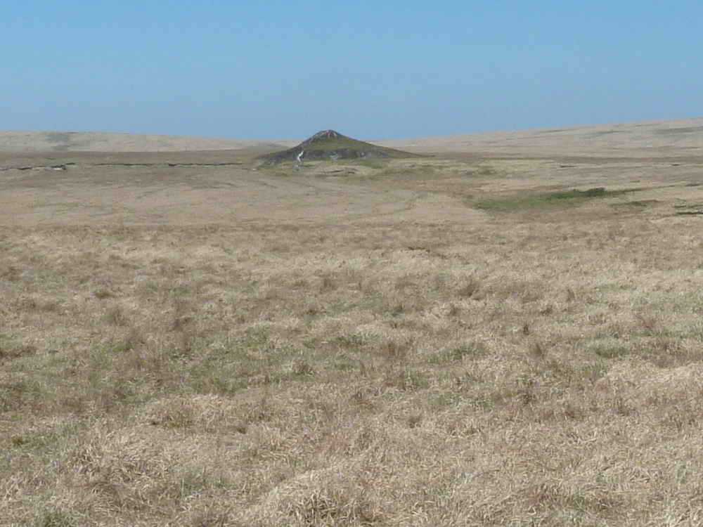
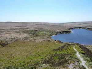
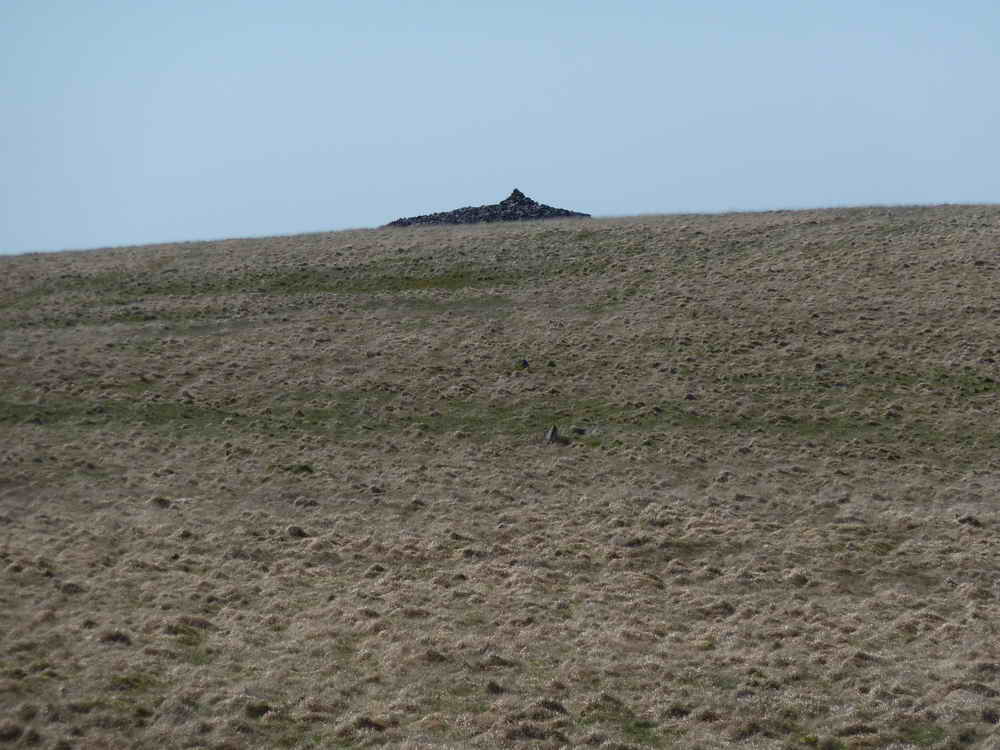
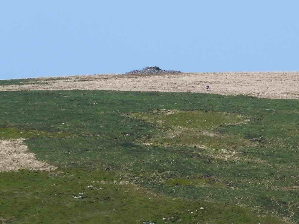
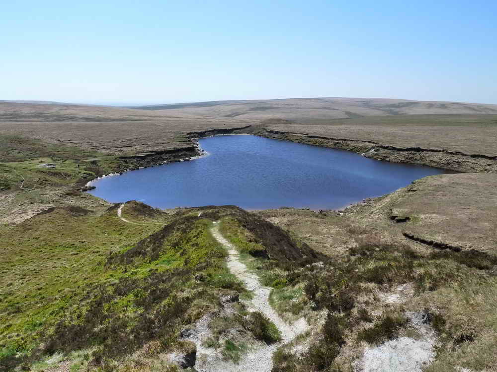
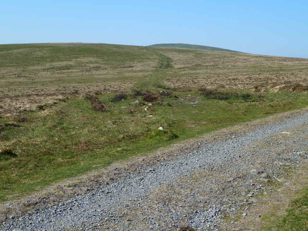
First view of our destination - Red Lake china clay spoil tip, at the end of the tramway track.
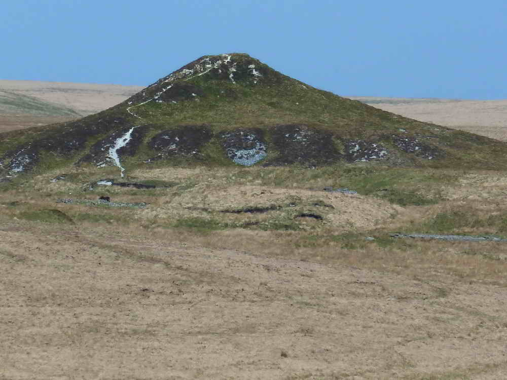
Zoomed view.

Intersection with the Two Moors Way at SX 64852 65931
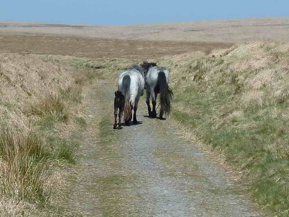
A group of ponies that walked ahead of us for a while.
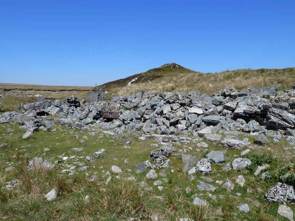
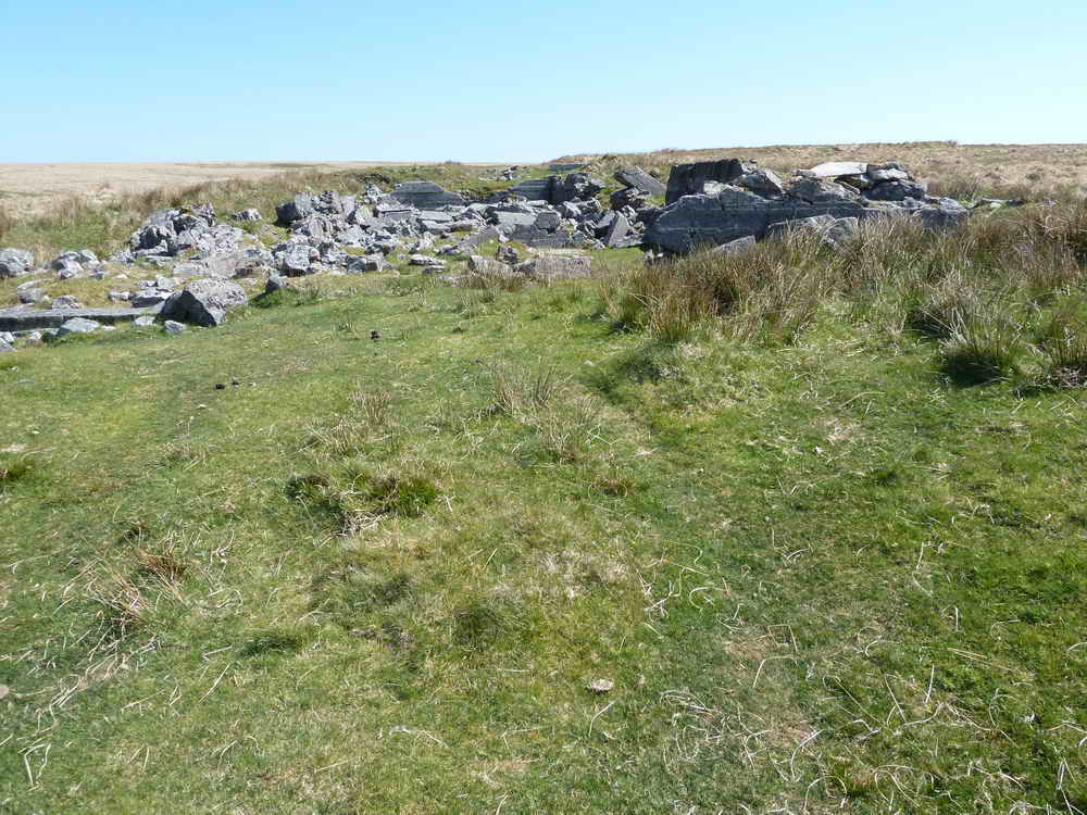
Ruined buildings at Red Lake .....
Approaching the lake .....

A "Candy" brick, perhaps from the company that is now Candy Tiles, Newton Abbot?

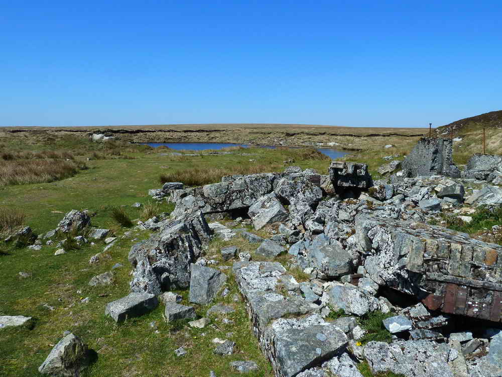
Another view of the large lake.

As previous photo but taken from the top of the spoil tip .....

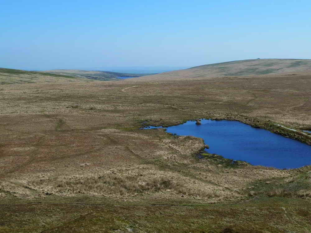
Looking south-east, two other lakes ..... above the "bridge" can be seen the "Dartmoor submarine", the cairn on Eastern White Barrow .....

Zoomed view of previous photograph
| Dartmoor CAM movie Panoramic view from the top of Red Lake china clay waste tip - be prepared for some wind noise!
|
|
Click the photo to download File size: 3 MB. Time to download: e.g. 13 secs Length 38 secs |

View east to Huntingdon Barrow or Heap of Sinners cairn.
View over the northern end of the small lake to the Avon Reservoir, 3 km distant .....

Zoomed view to the reservoir.

The Dartmoor Submarine, again.

General view of the land to show how featureless it is in these parts - although there is another cairn on the skyline (left of center).
Looking down on the first lake that we saw.
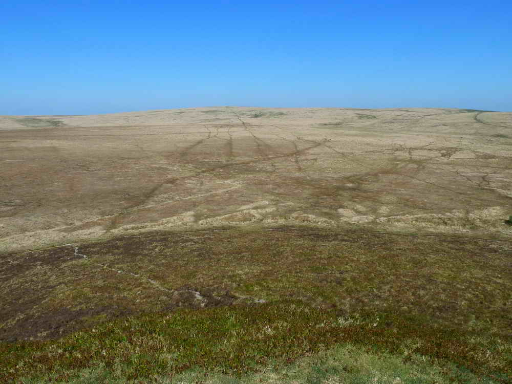
Featureless view to the north.

Looking back at the spoil tip.

Google Earth image of the area, with the old railway track coming in at lower right. The marks of extensive peat cutting can be seen either side of the track in this area.

Bridge nameplate sadly broken, what is its name - Leftlake Bridge? The date is 31 July 1963 / 1963? Probably the 1963 judging by the concrete block?

As previous.
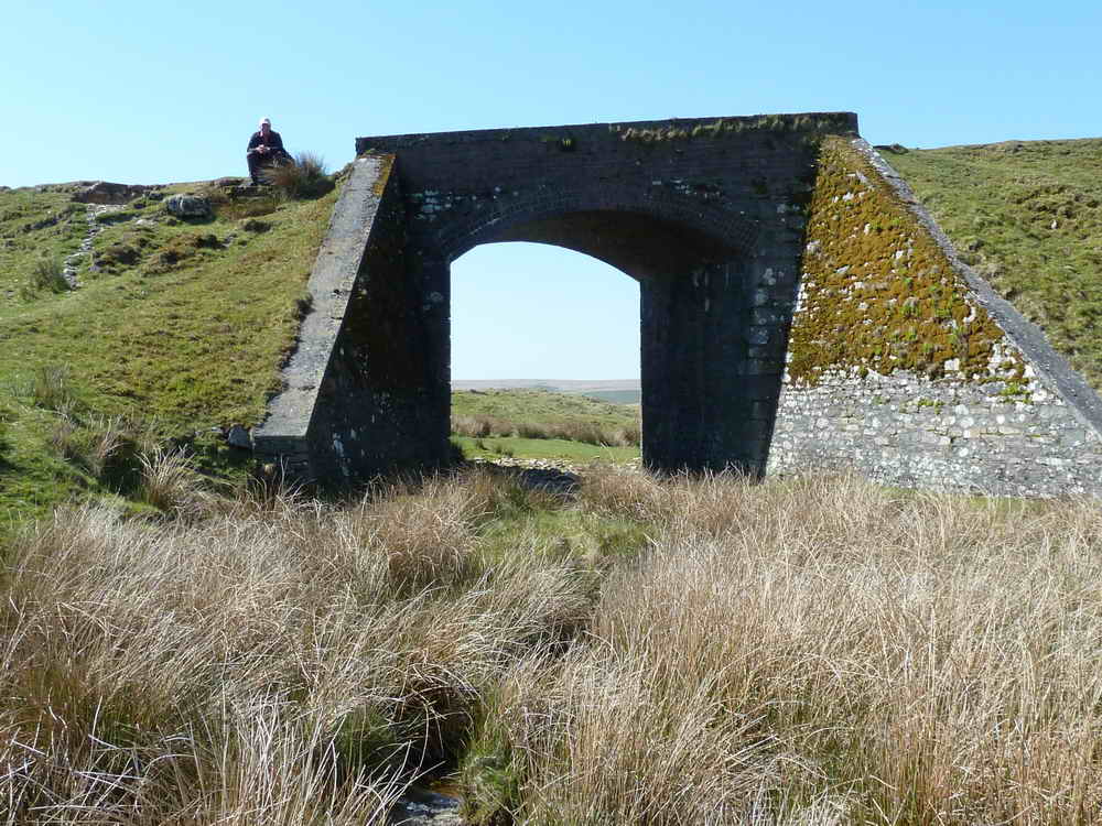
Another view of the bridge at SX 6468 6348, half-way along the track .....

Another view of the lake, taken from the water's edge.
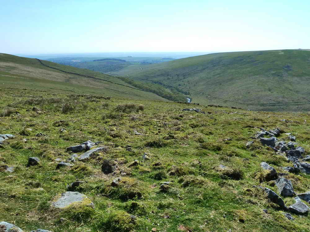
Another view of the Erme valley with Hillson's House just visible at the top right. The River Erme can be seen as well as the edge of Piles Copse, one of three ancient woodlands on Dartmoor, the others being Wistman's Wood (Two Bridges) and Black-a-tor Copse (Meldon) - although the wizened trees of Hucken Tor wood may be equally ancient.

Drying pool near Spurrell's Cross .....
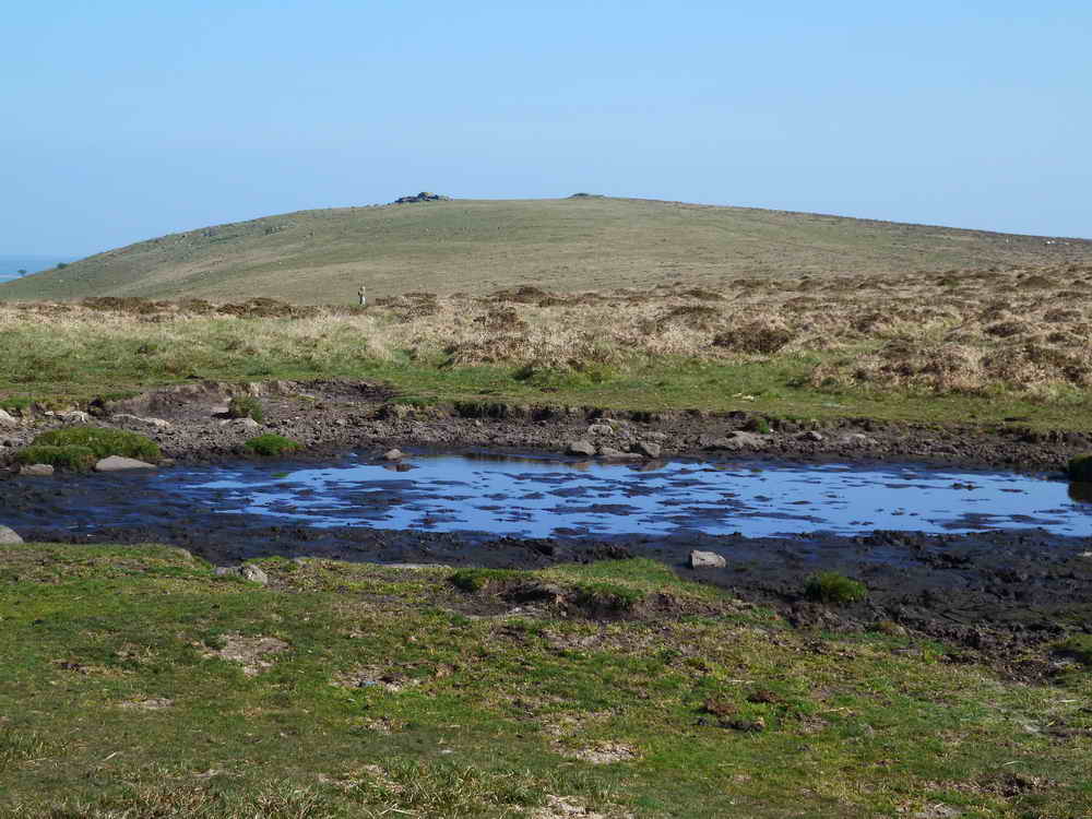
Zoomed view across the pool with Ugborough (Eastern) Beacon in the distance and Spurrell's Cross visible, left of centre.
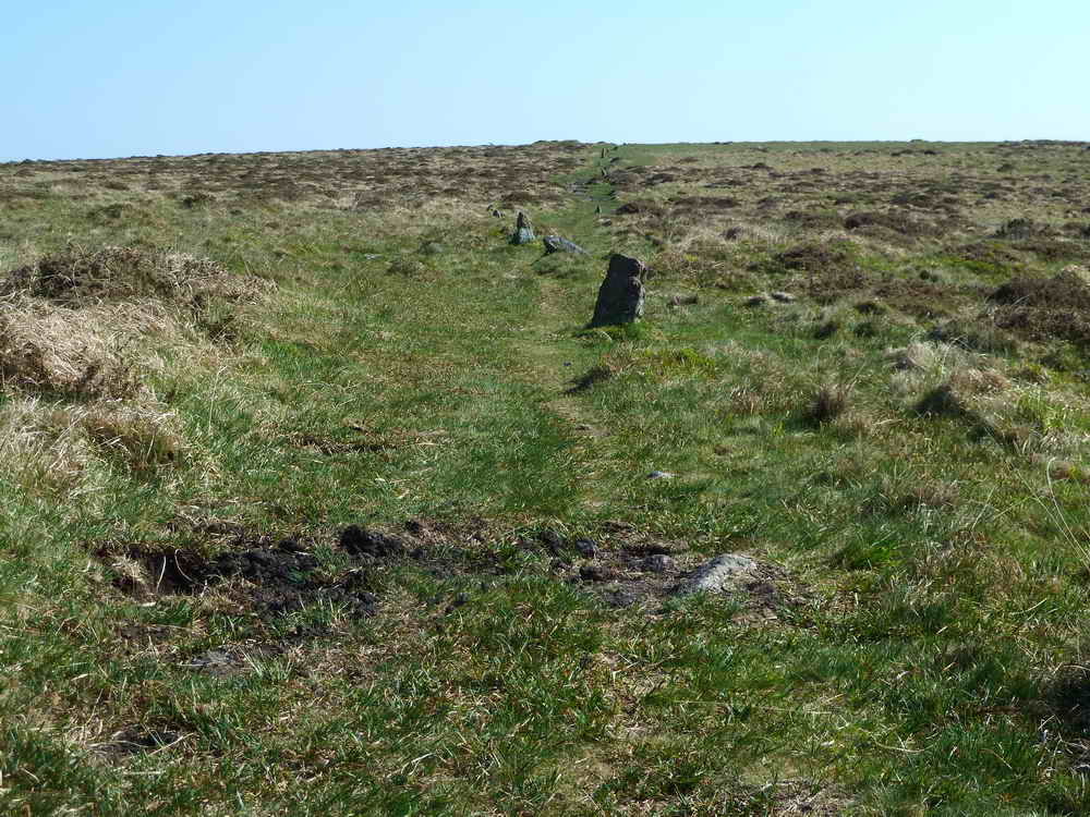
Stone row near Spurrell's Cross, at SX 6561 5971 .....
Looking the opposite way, across the track, along a path to Piles Hill.
MAP: Red = GPS satellite track of the walk.

Ordnance Survey © Crown copyright 2005. All rights reserved. Licence number
100047373.
Also, Copyright © 2005, Memory-Map Europe, with permission.
Access was via the A38 at Lee Mill, turning up past the large Tesco store and following the road to Cornwood. After turning right in Cornwood, the road becomes very narrow, there are 4.7 km / 2.9 miles of typical narrow Dartmoor lanes to negotiate. Parking was at the P symbol on the map, immediately after passing through Harford Moor Gate.
Statistics
Distance -24.0 km / 14.92 miles
Start 10.11 am, Finish 5.05 pm, Duration 6 hr 58 min
Moving average 4.5 kph / 2.8 mph; Overall average 3.4 kph / 2.11 mph
All photographs on this web site are copyright ©2007-2016 Keith Ryan.
All rights reserved - please email for permissions