![]()


This walk: 2011-7-27. Bellever Forest, Krap's Ring, stone rows, cairn circles, cist, Bellever Tor, round house archaeological dig, post hole, tree root, Lich Way.
Walk details below - Information about the route etc.
See also 9 June 2008, 18 Sept 2008 and 29 Sept. 2010 walks.
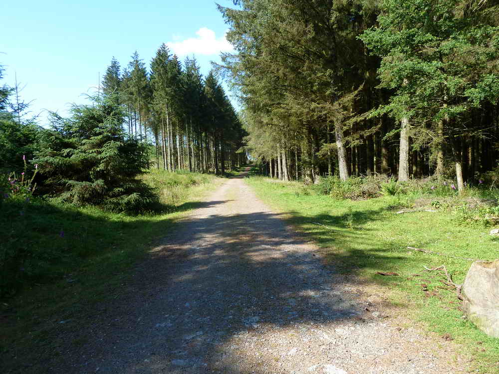
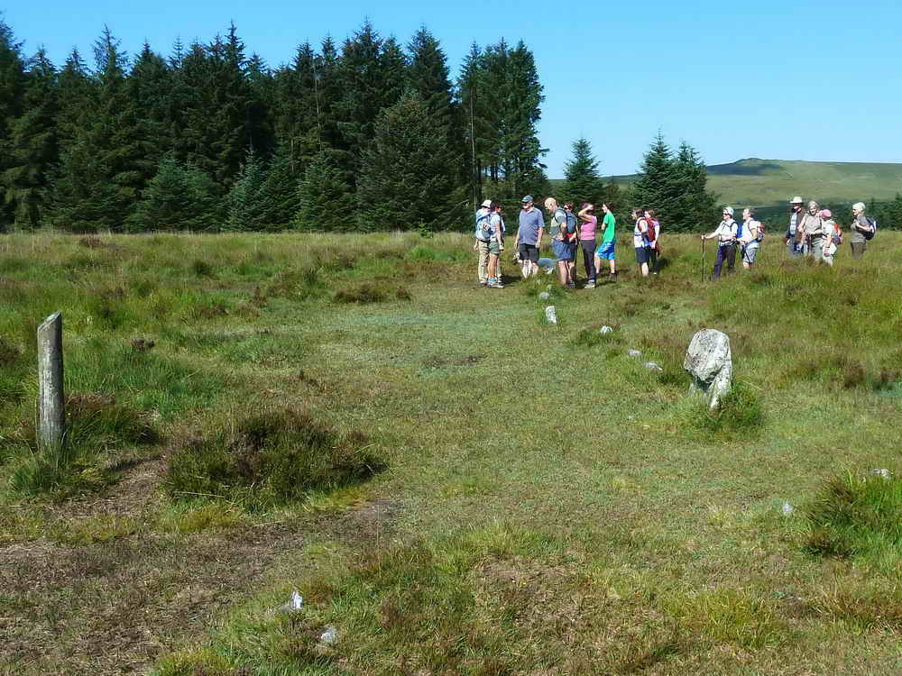
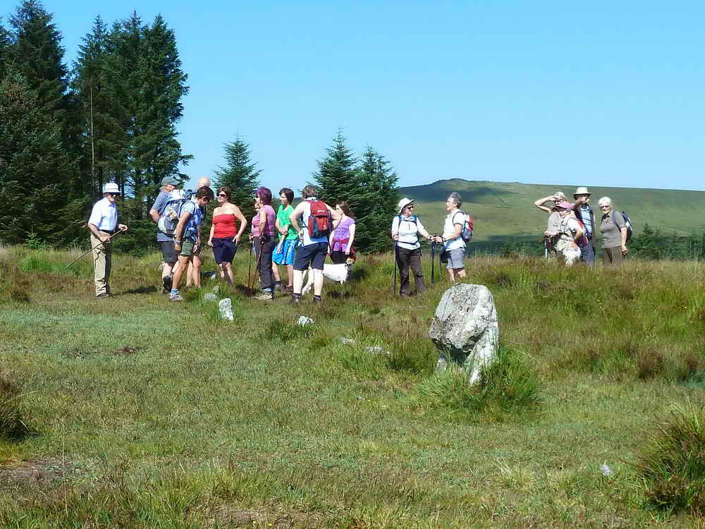
Entering Bellever Forest from the Postbridge end, after parking in the main car park.
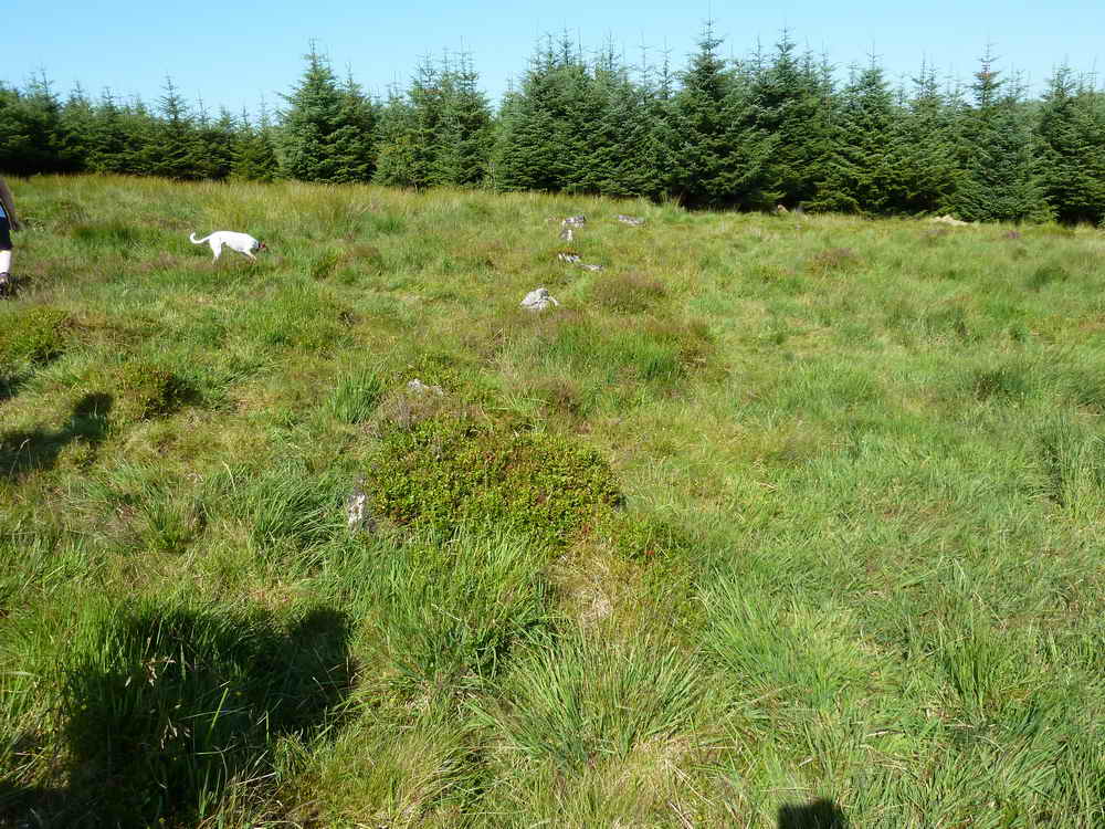
The northern edge of Krap's Ring, at SX 6439 7809. This is the boundary wall of a settlement of several round houses.
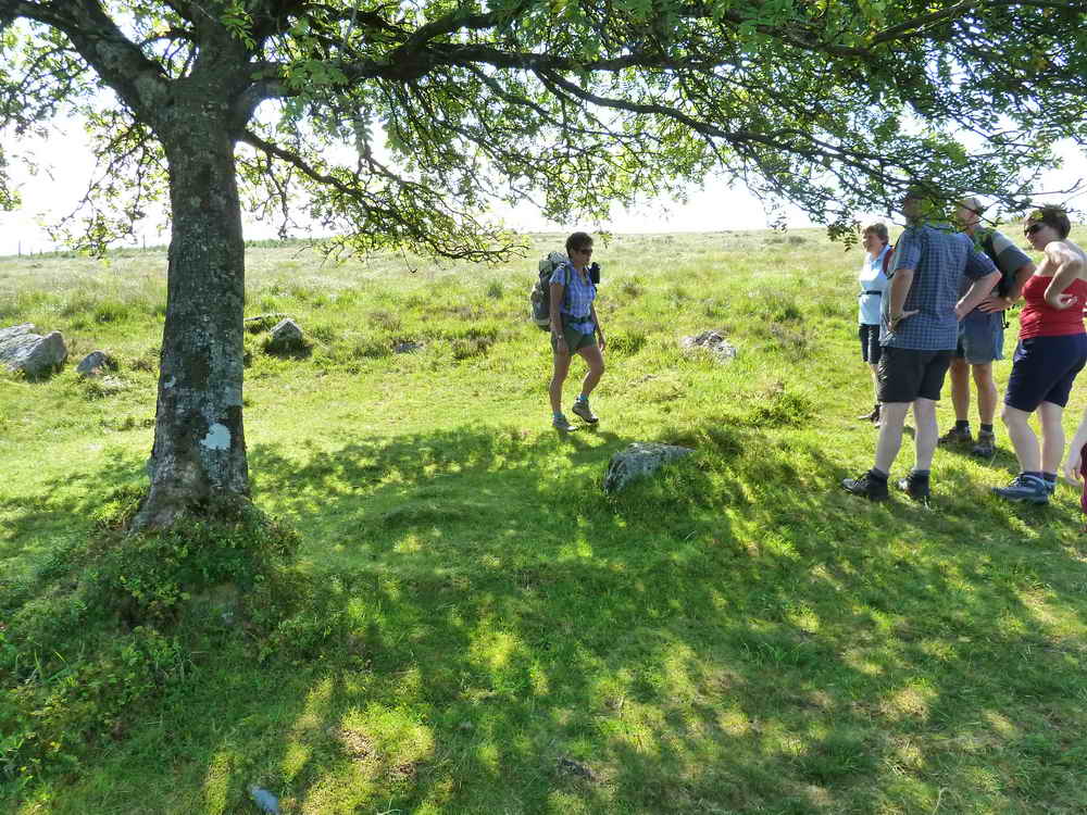
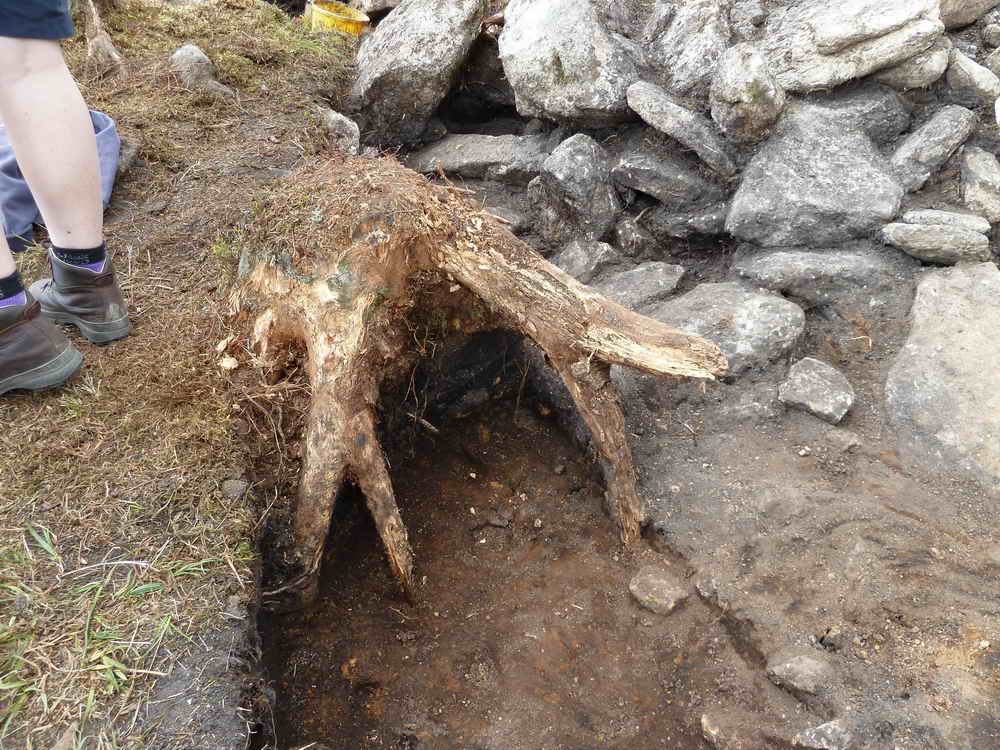
A Bronze Age round house complete with a shade tree (a willow), at SX 64353 77766, a short distance south of Krap's Ring that may have been a communal meeting house or perhaps a chief's abode. A sketch map of this feature can be found in Butler, Vol. II, 27.19 (fig. 27.12), page 49.
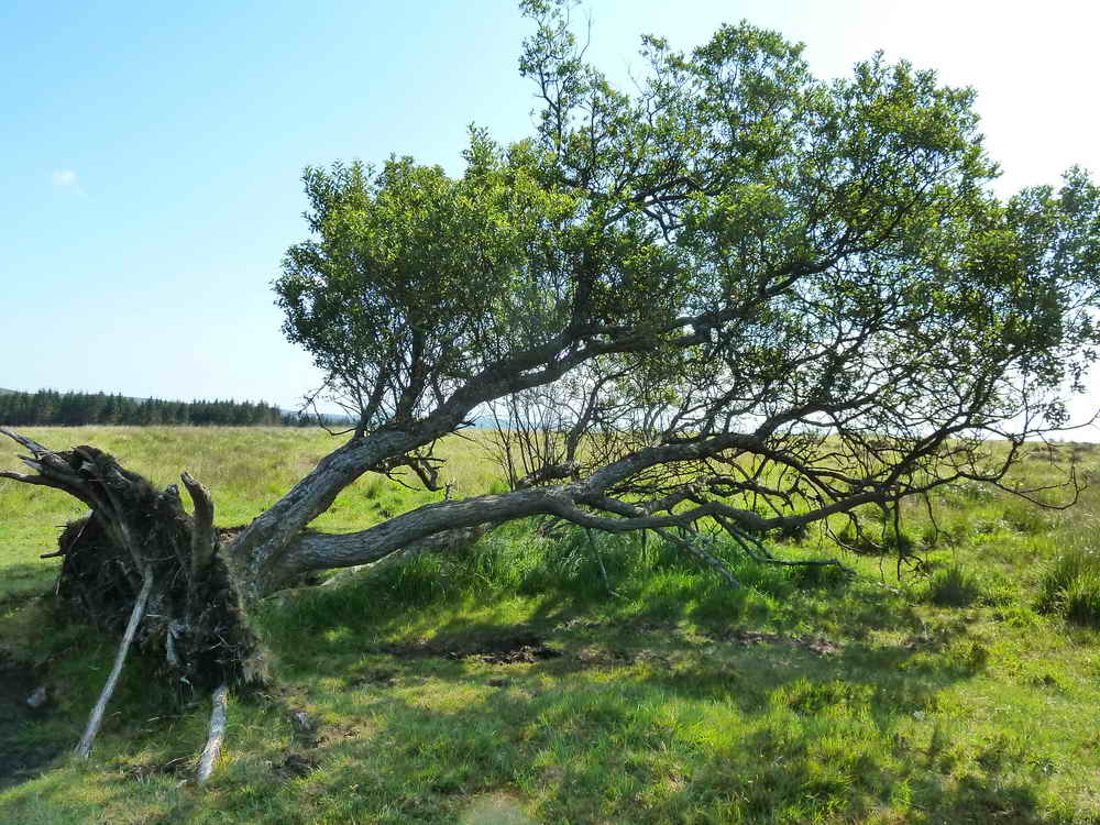
Fallen tree, still rooted and growing.
The short stone row at SX 6437 7765. Details of this feature can be found in Butler, Vol. II, 27.19 (fig. 27.12, item 3), page 49.
As previous photo.
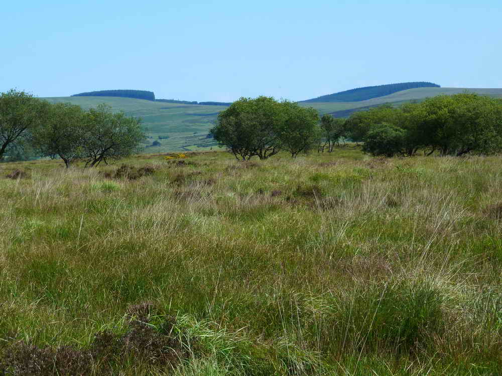
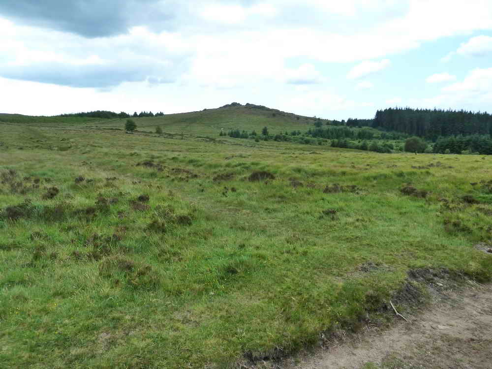
Looking north, towards Assycombe Hill.
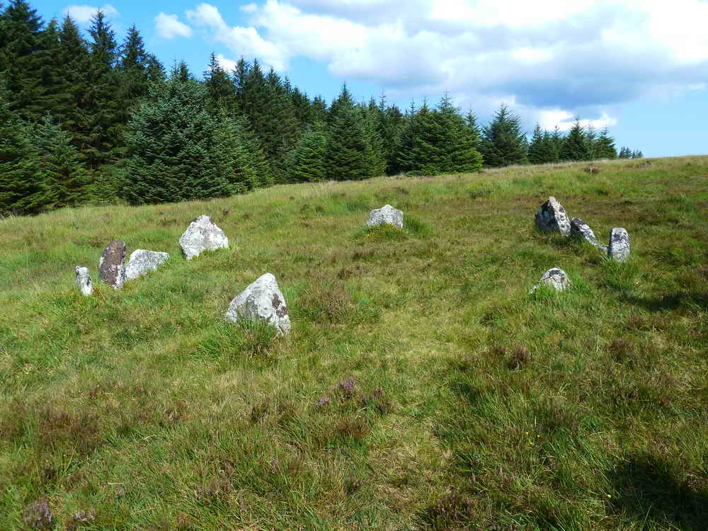
Cairn circle and cist at SX 6434 7748 ..... there are two cairn circles here, with a cist in the centre of the one behind the camera in this photograph (see next photo). Details of this feature can be found in Butler, Vol. II, 27.19 (fig. 27.12, item 5), page 49.
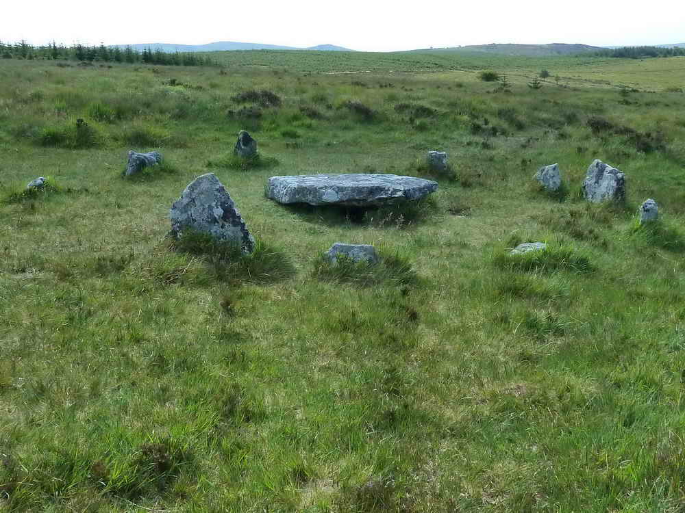
This one ..... Details of this feature can be found in Butler, Vol. II, 27.19 (fig. 27.12, item 6), page 49.
While your ever-willing photographer was doing what he does so well, a cruel event was taking place behind him .....
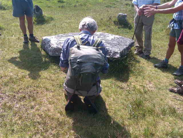
Caption competition no. 1 .....
"Is there anybody there ..... ?"
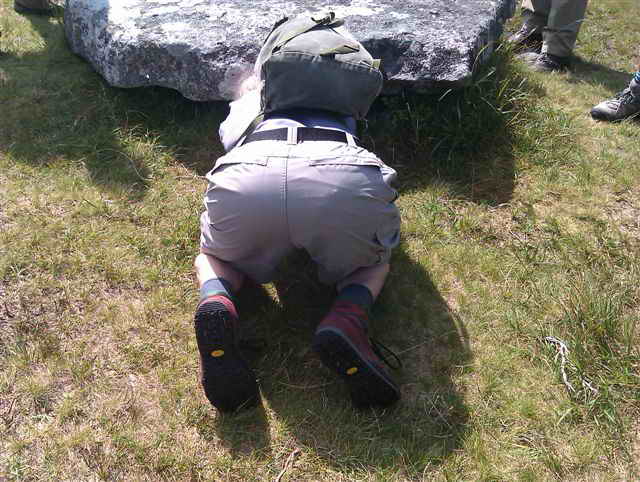
Caption competition no. 2
"When the call to prayer comes ....."
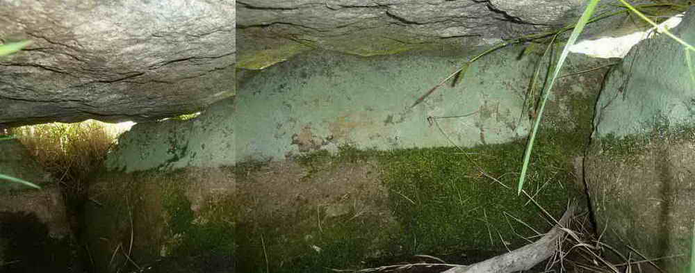
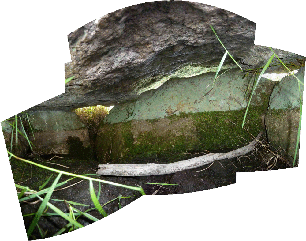
The result - inside the cist - two photographs that are not perfectly joined together.
Later efforts (22 July 2012) .....
Click HERE to see a larger version.
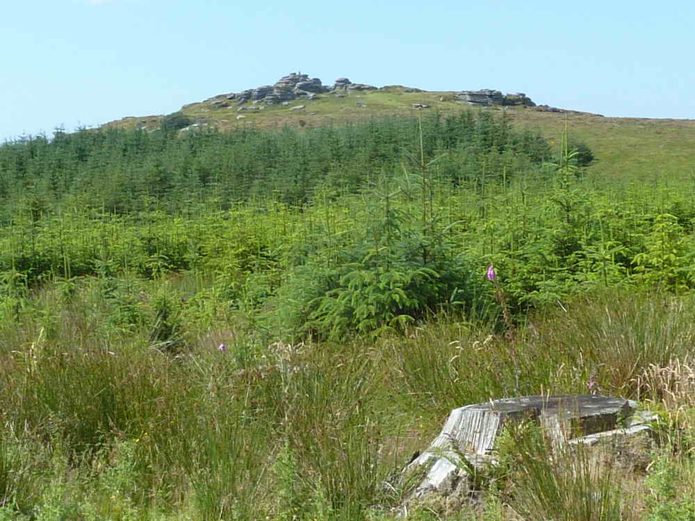
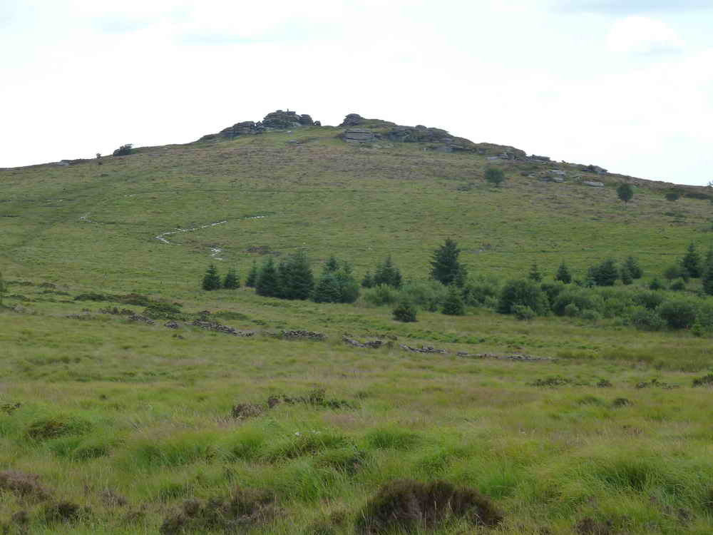
Bellever Tor, SX 645 764, elevation 443 metres (1453 feet) .....
Zoomed view, across self-seeded trees on the land used by Dartmoor Pony Heritage Trust, note the trig. point.

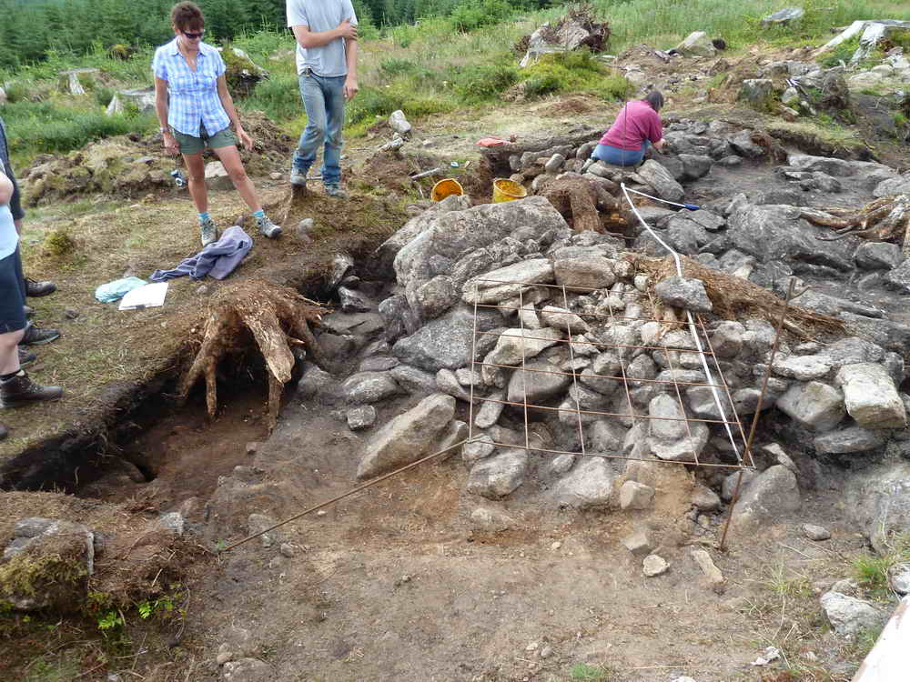
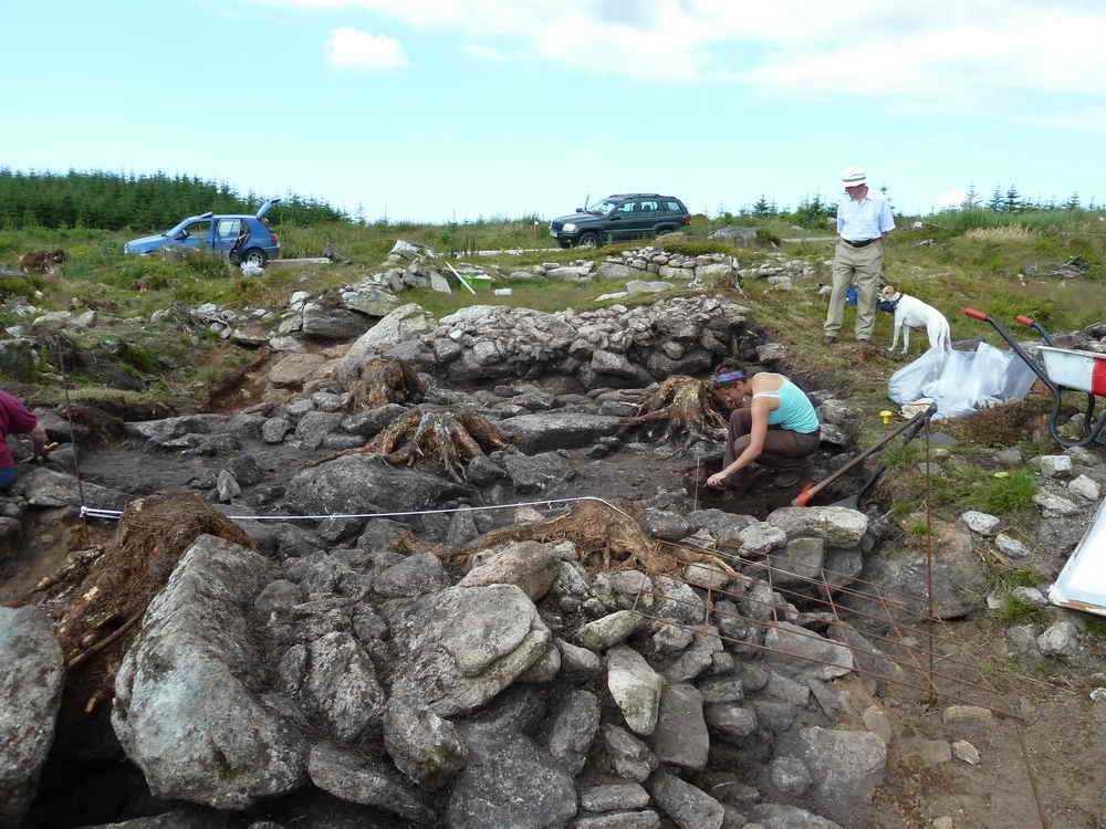
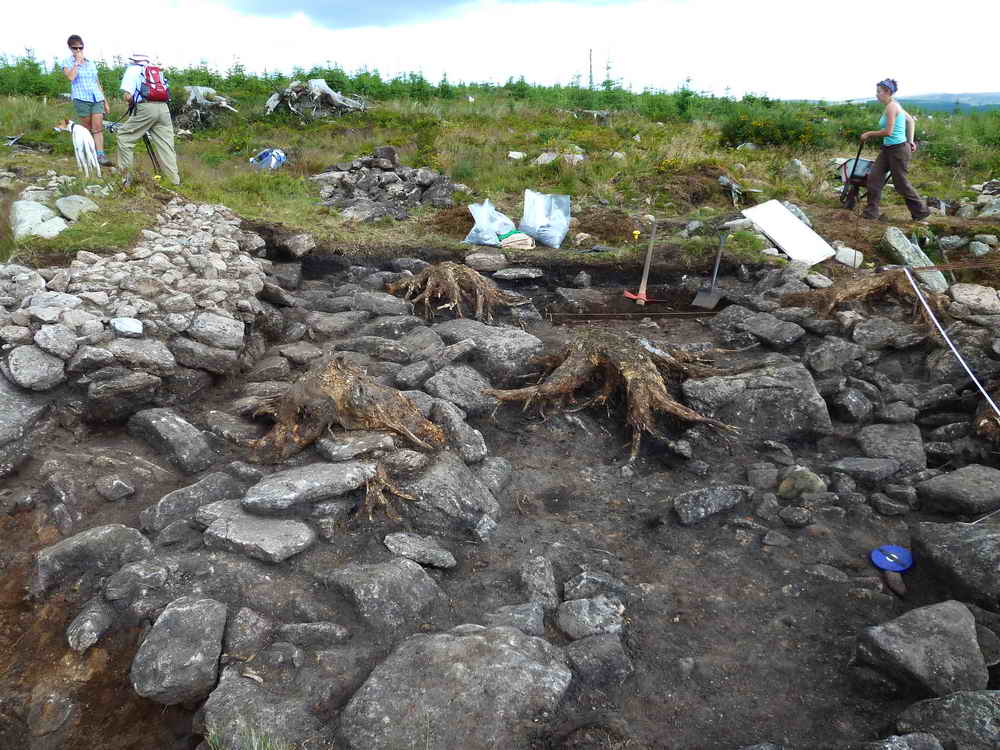
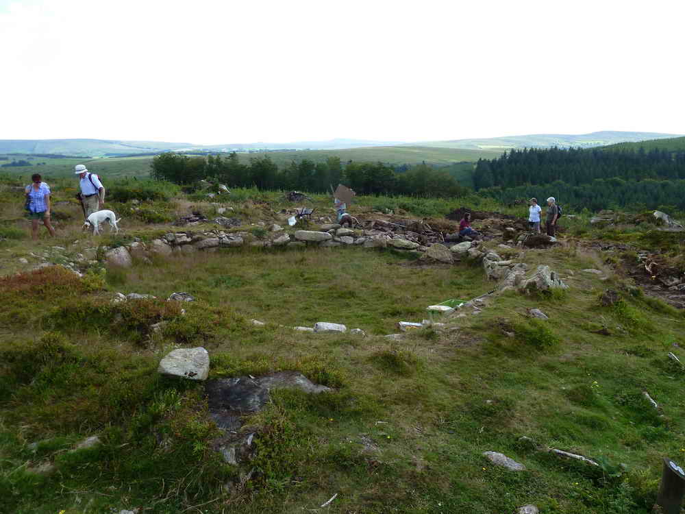
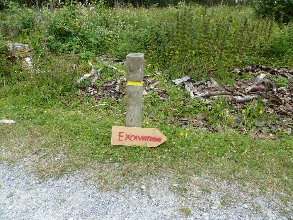
Bellever Bronze Age round house, at SX 6486 7674 - Archaeologist Simon patiently explains the whole process and ethos behind the dig. Click the photo for a larger image.
This photo shows the round house that was excavated in 2010 (foreground). This year. the team are excavating outside the original house, going into a second house.
Some links for further detail:
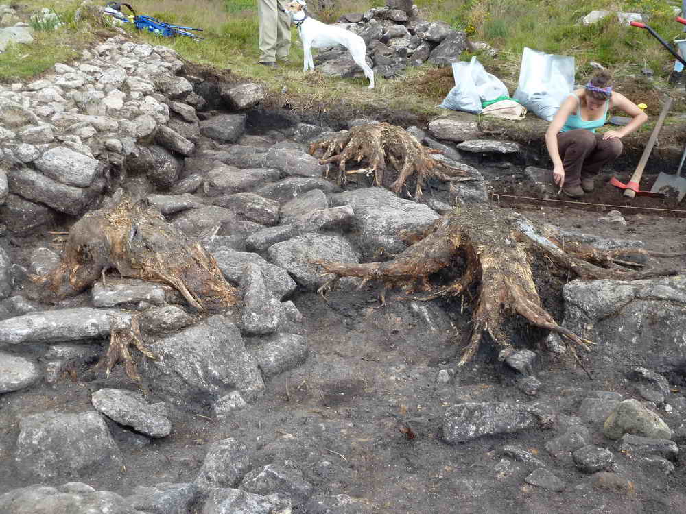
General view with a post hole at bottom left (see below), some filling of the wall, tree root .....
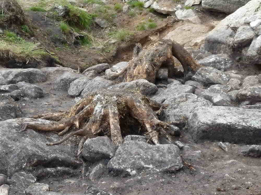
Close-up of a tree root doing damage by forcing its way between the stones and then expanding as it grows .....
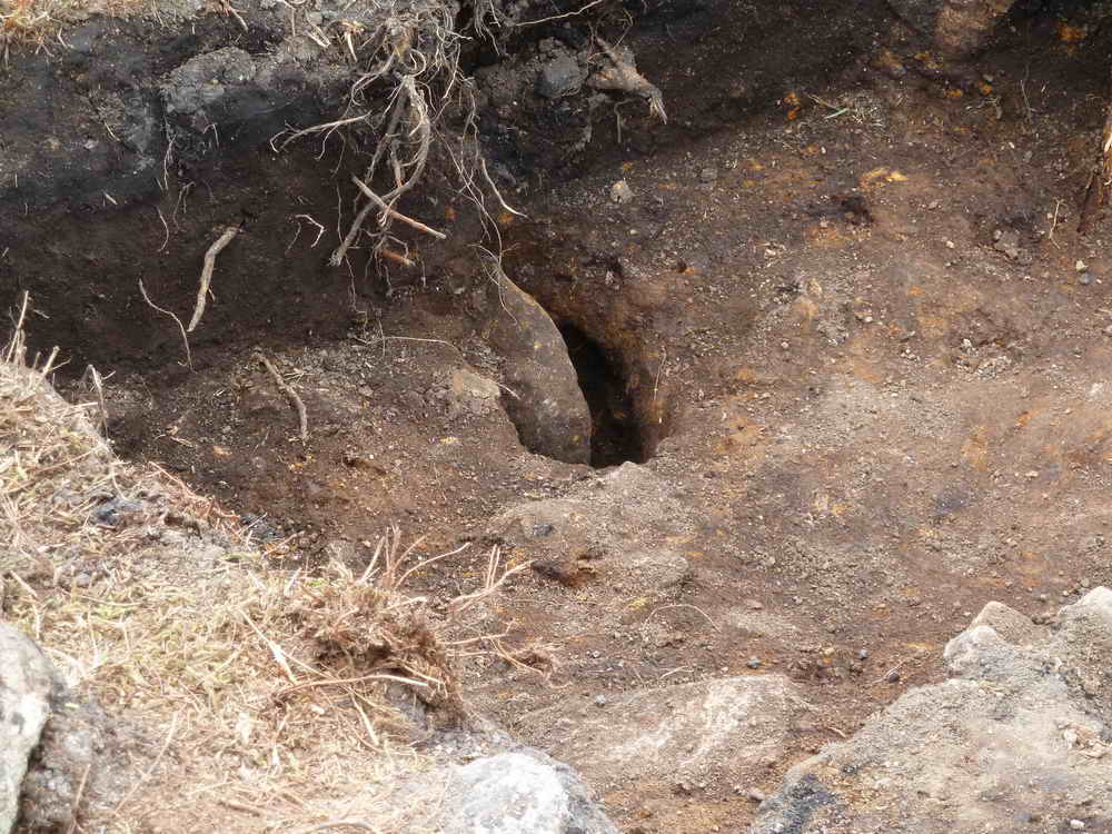
A post hole. A ring of these was found in the 2010 house (diameter 8.5 metres), about 1.5 metres inside the walls. They were probably there to support a network of "beams" that held up the slanting poles that made up the conical roof (which was thatched or turfed?). Another ring of smaller pole holes were found just inside the walls that probably held a wattle (wattle and daub perhaps), covering the bare stone walls, that were about a metre high.
Tree root.
General view of tree roots between the two houses and inside the second house (about one third excavated).
Paved area outside the first house, under the eaves of the roof, possibly for outside storage.
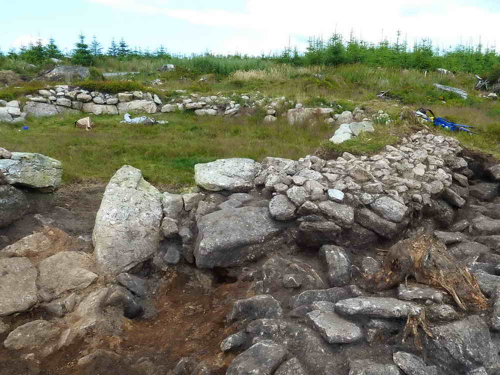
General view of the first-excavated house (2010).

Doorway into the first house, where one edge stone has fallen into the doorway space.
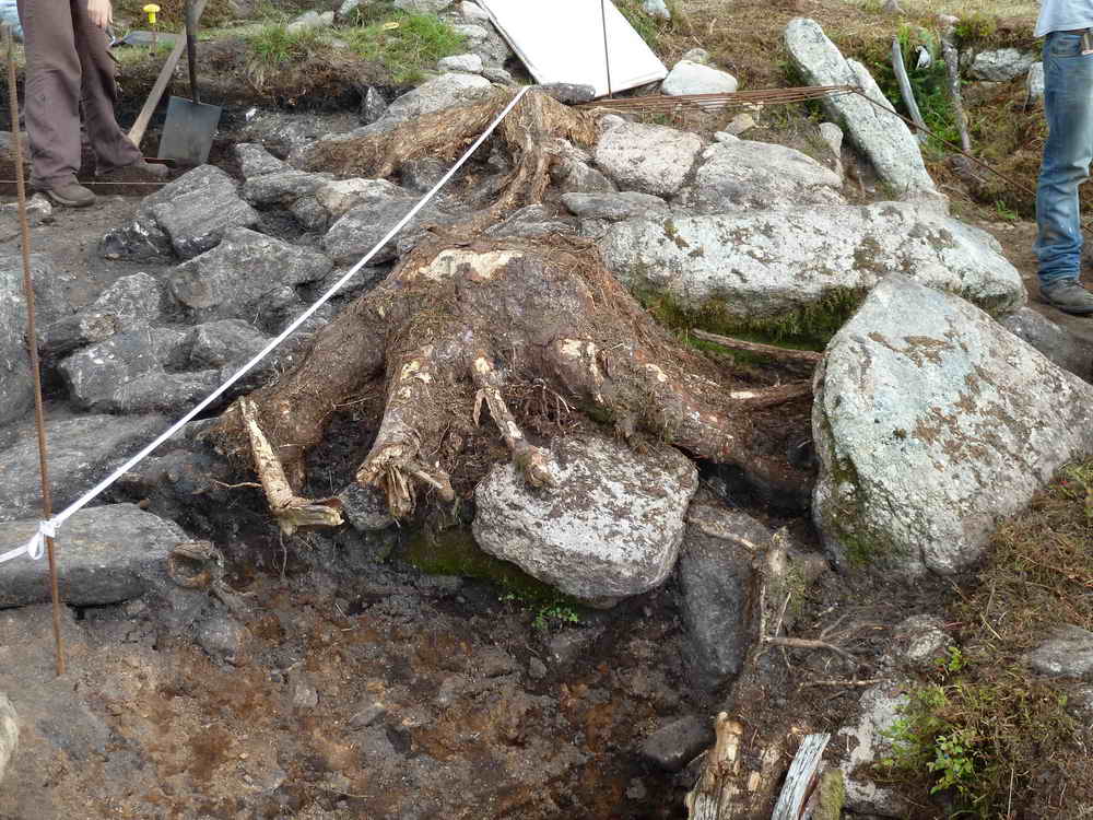
Tree root, doing damage.
Another general view, 2010 house on the left, second house on the right, with a space between them.
Final pphotograph of the scene.
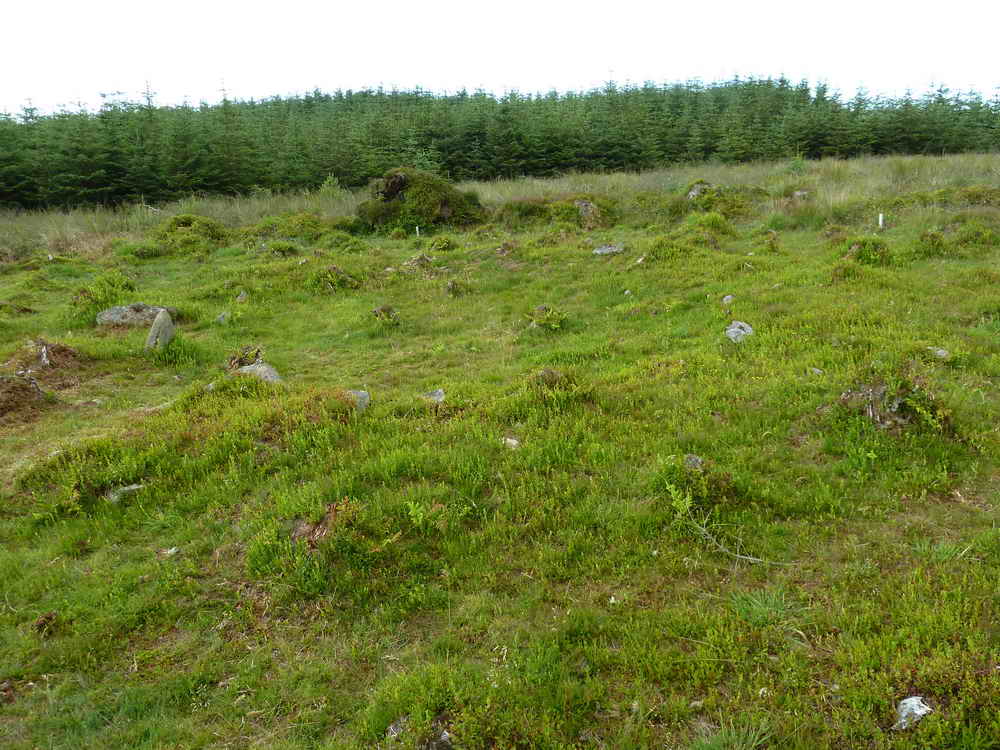
Nearby similar-sized house, about 20 metres across the forest track, untouched.
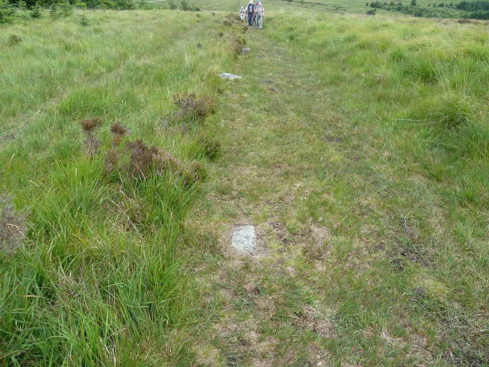
Lich Way or Lych Way, looking west .....
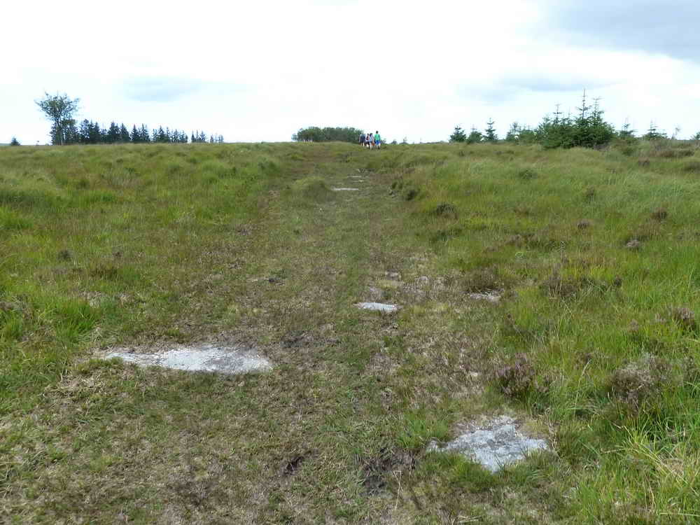
..... and looking east.
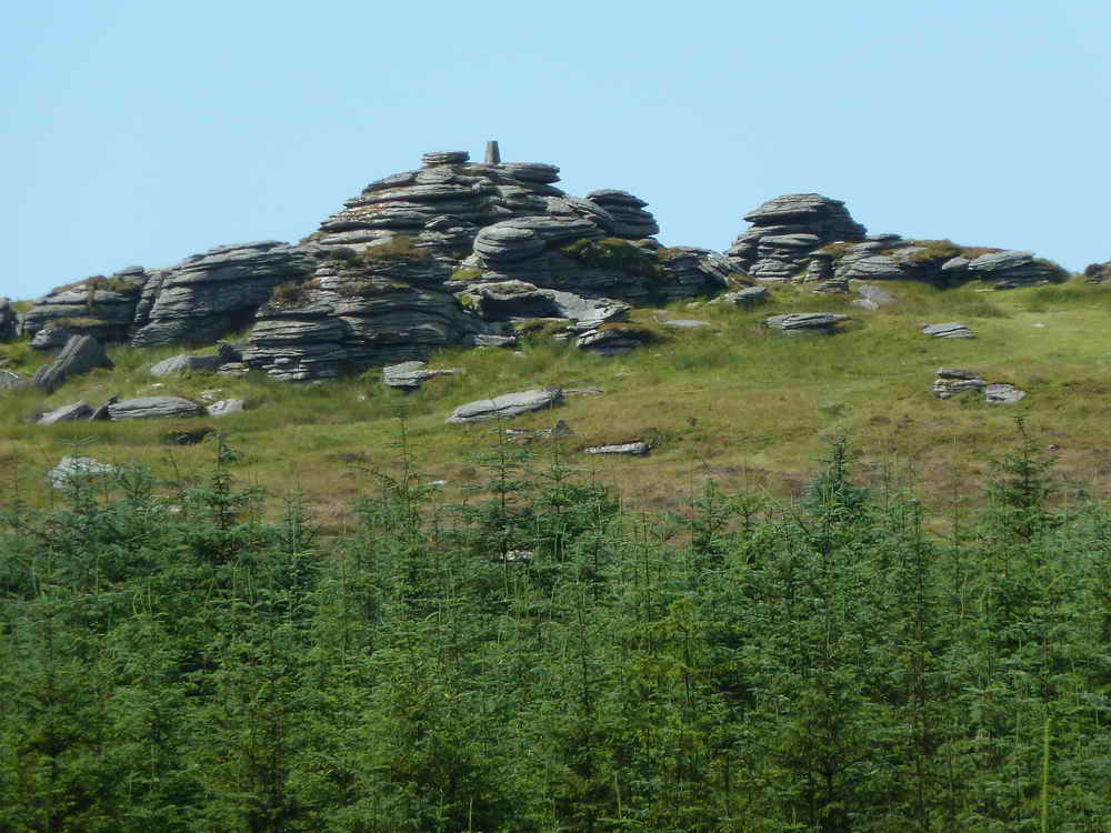
Bellever Tor, again .....
Another zoomed view.
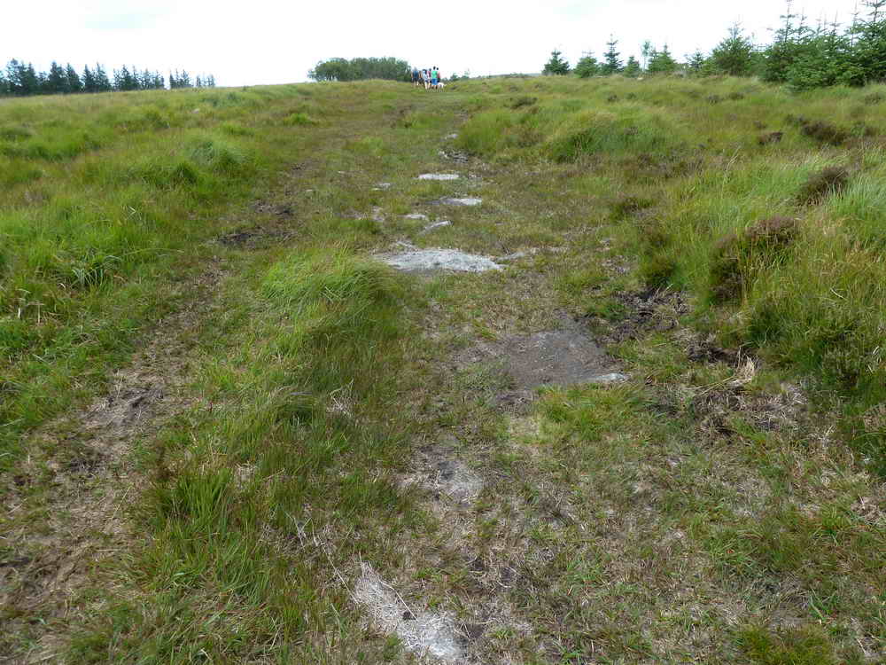
Looking at the buried Miall Long Row (in the area of SX 6445 7743) on Lakehead Hill, apparently undiscovered by the archaeologists!
It continues somewhere along here, walking north .....
As previous photograph.
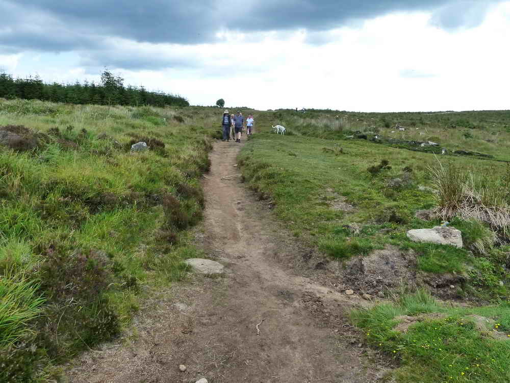
Seen on our return.
Him: "Helluva view!"
Her: "Yes, that's definitely a tree!".
MAP: Red = GPS satellite track of the walk.
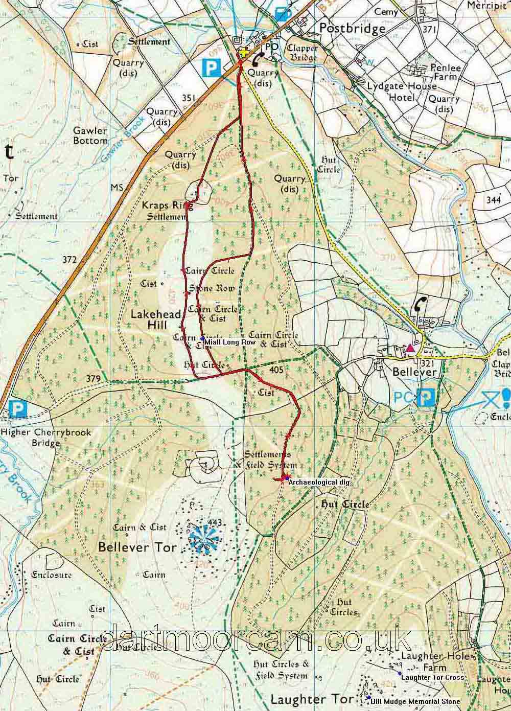
Ordnance Survey © Crown copyright 2005. All rights reserved. Licence number
100047373.
Also, Copyright © 2005, Memory-Map Europe, with permission.
This walk was reached by parking at the main car park in Postbridge, inficated by the yellow cross symbol on the map.
Statistics
Distance - 5.96 km / 3.7 miles
All photographs on this web site are copyright ©2007-2016 Keith Ryan.
All rights reserved - please email for permissions