![]()


This walk: 2011-8-3. DCP - Directors of Convict Prisons marker stone, sundew, ling, cross-leaved heath, Black Brook, peat tramway remains(?), dung bonnets, modern gate stile, stonework, thistles, Fice's Well, tick, Prison Leat.
Walk details below - Information about the route etc.
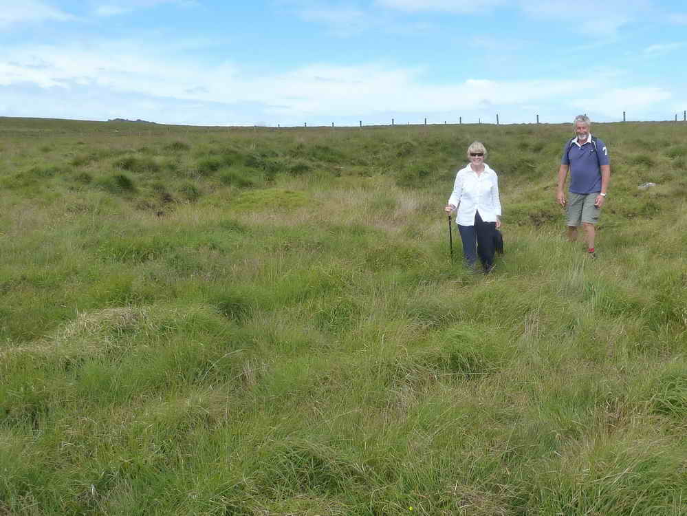
Parking was at Holming Beam FS (= flagstaff, for flying the red flag when there is military firing taking place). Old name: Omen Beam. The Long Plantation was planted to protect prisoners from bitibg east winds when working the prison land.
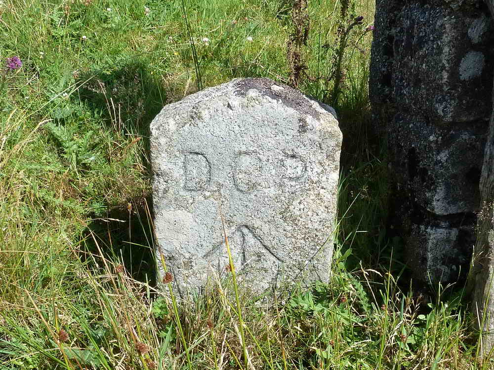
One of the many Directors of Convict Prisons stones marking the boundary of the prison. Originally it had 390 acres originally granted but this was extended by 1,000 acres in 1867 when the whole area was marked by these boundary stones. Source: Dave Brewer, Dartmoor Boundary Markers, Halsgrove (2002), pp. 260-262.
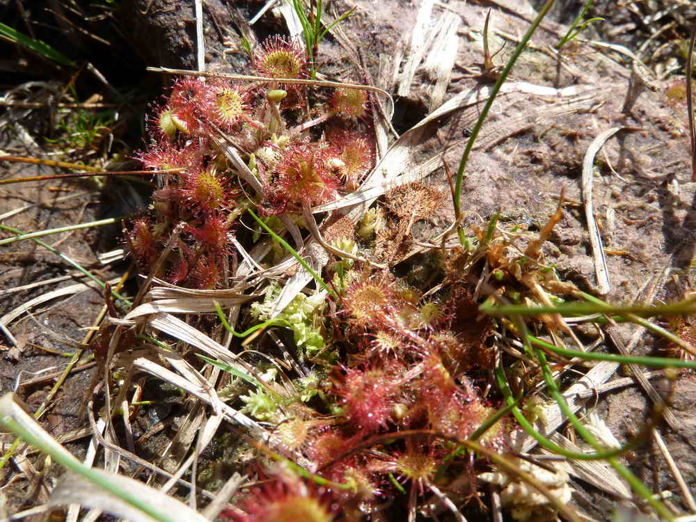
Round-leaved Sundew - Drosera rotundifolia, the insect-eating plant (to supplement minerals etc. that are lacking in the soil) .....
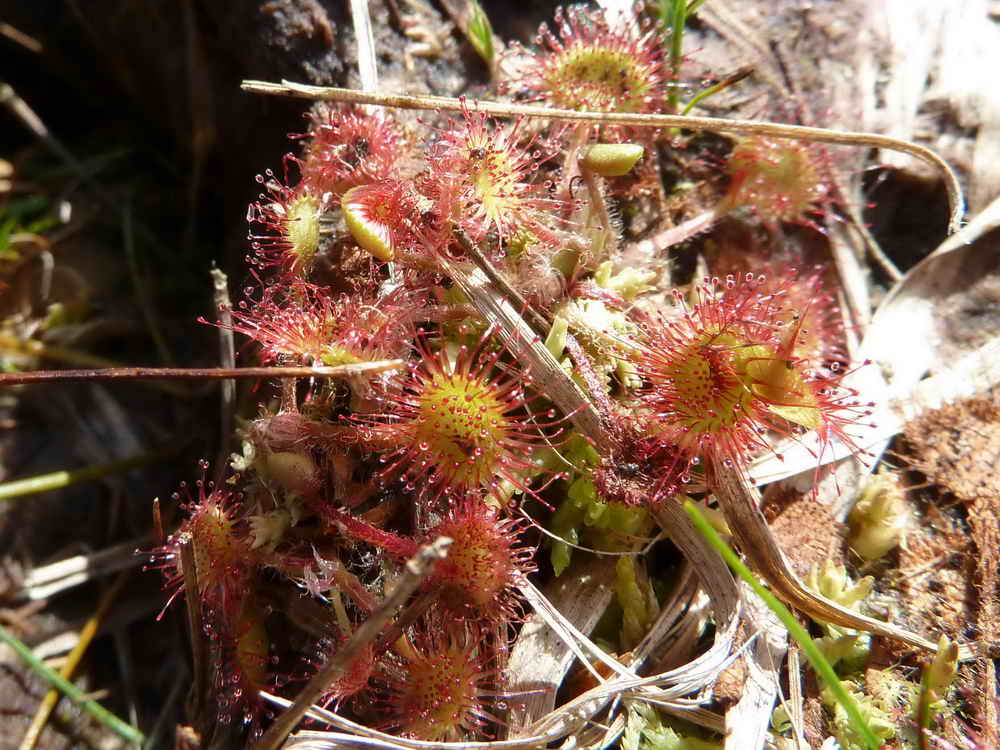
Slightly closer view.
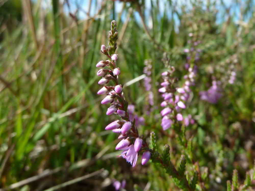
Ling, Common Heather (Calluna vulgaris), small flowers along the stem.
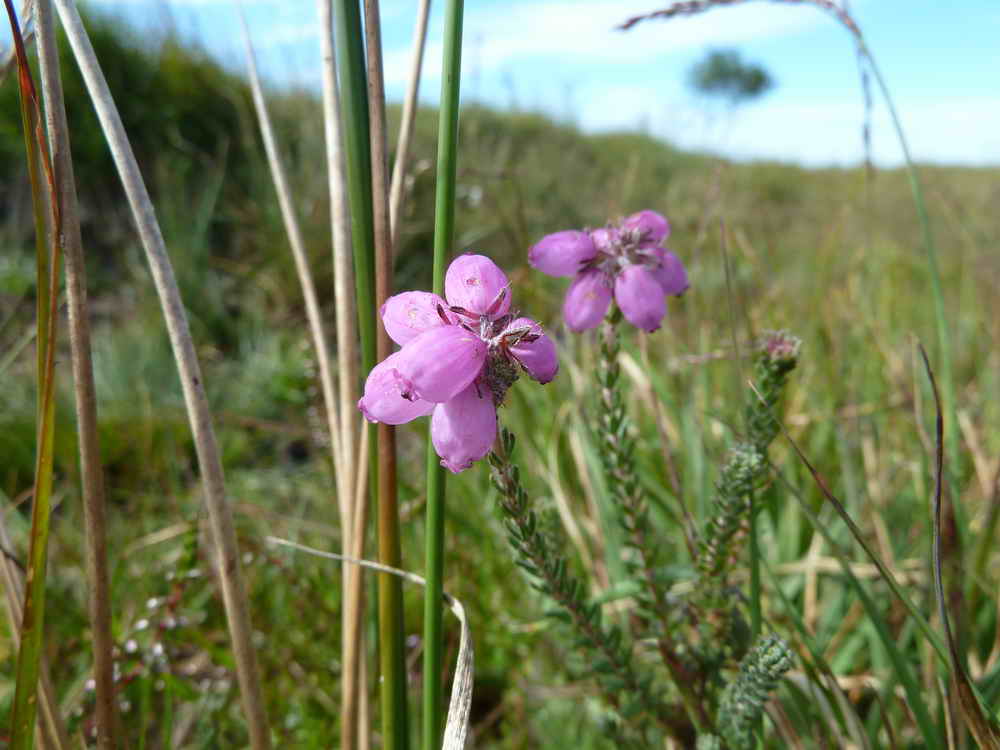
Cross-leaved Heath, Erica tetralix, with its grey-green leaves that are borne in 4's, in the shape of a cross around the stem and flowers at the stem tip.
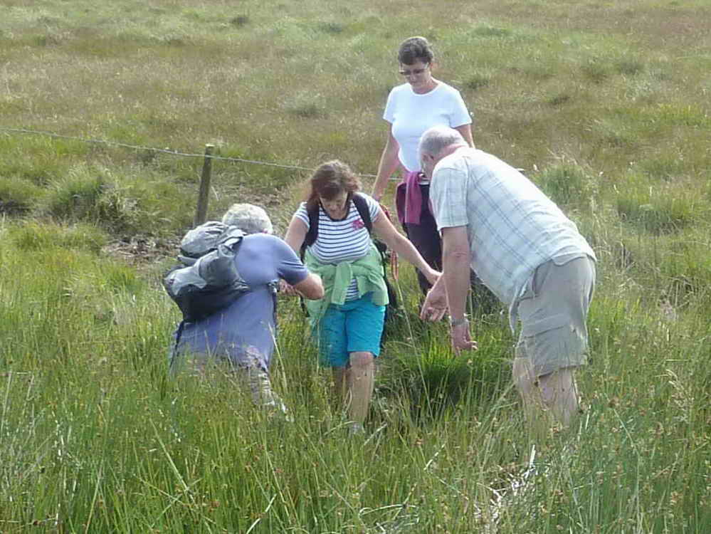
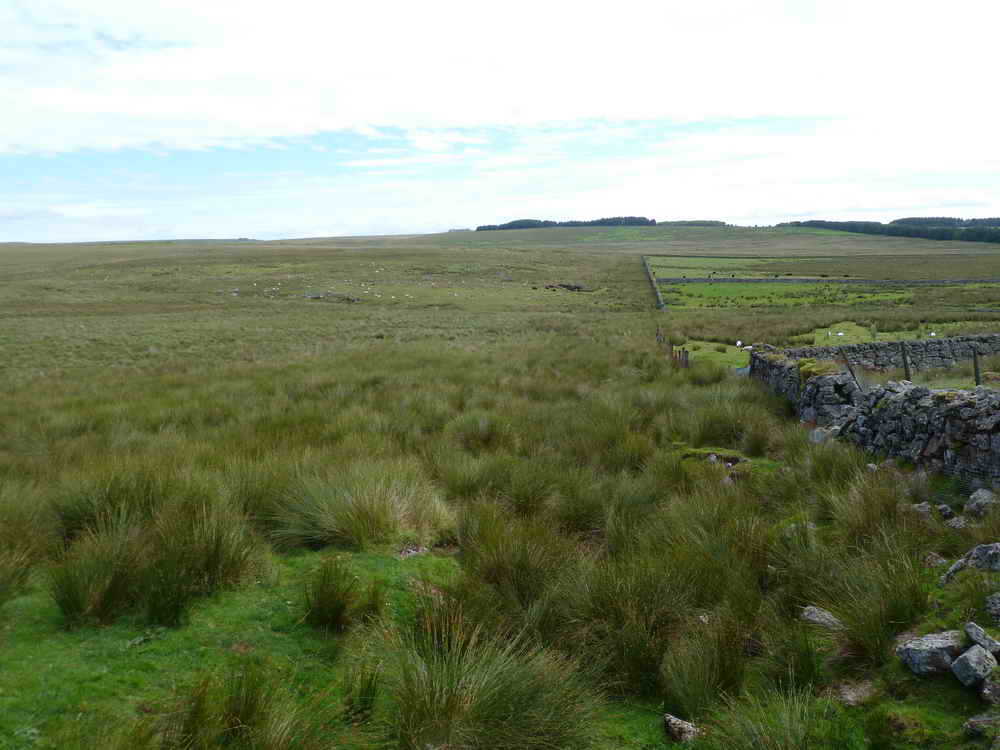
Crossing the Black Brook - I .....
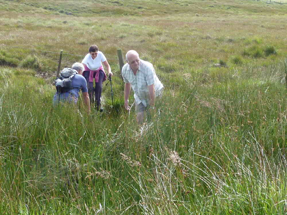
Crossing the Black Brook - II.
An unusual depression that may have formed a reservoir at one time, draining down to a small clapper bridge?

Remains of a wooden structure along the peat track from the prison to the peat bogs that was travelled by horse-drawn wagons when the British Patent Naphtha Company (originally at Bachelors Hall in 1844) moved to the vacant prison. The venture only lasted a few years. Peat was processed for naphtha oil for use in moth balls and candles while the gas was used for lighting.
By the 1870s, peat was being dug by the inmates of the prison after it became a convict prison, having been built originally to house French and American prisoners of war.
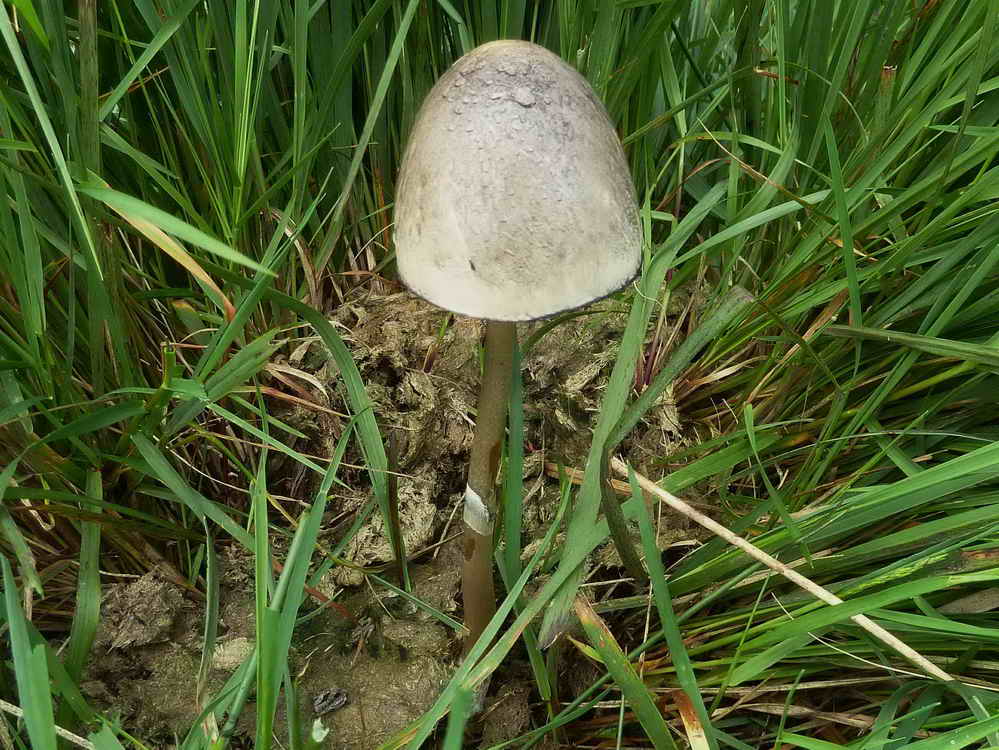
Coprophilous fungus: a dung bonnet, Bolbitius vitellinus.
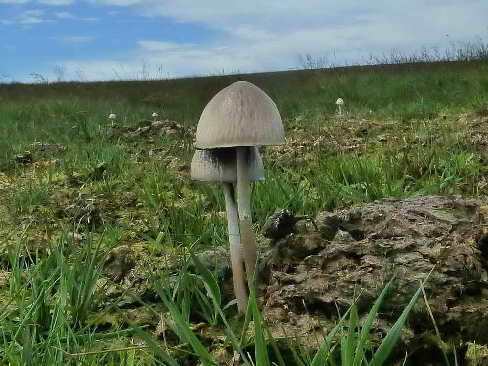
Dung scape.
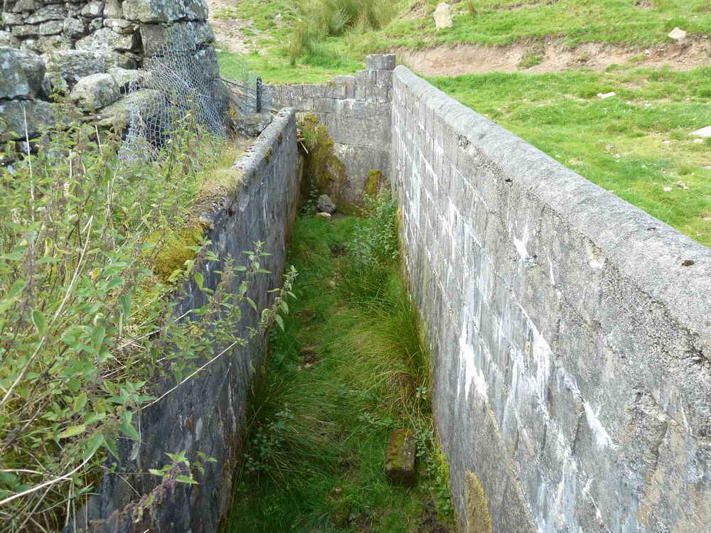
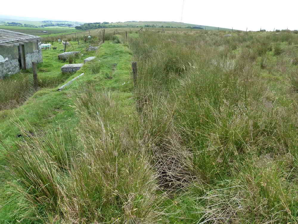
Abandoned structure of unknown use.
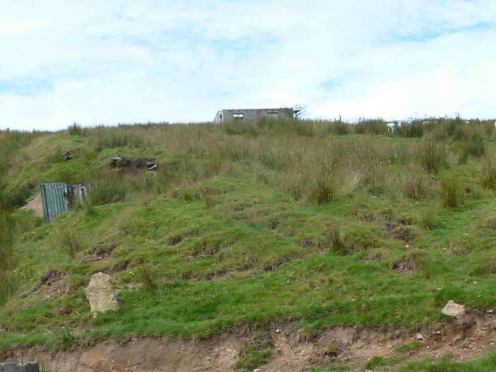
Abandoned building on the Prison Leat ..... at SX 5749 7587 .....
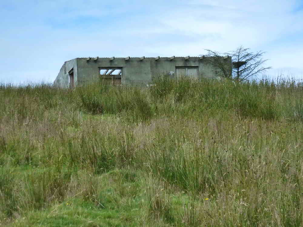
Zoomed view.
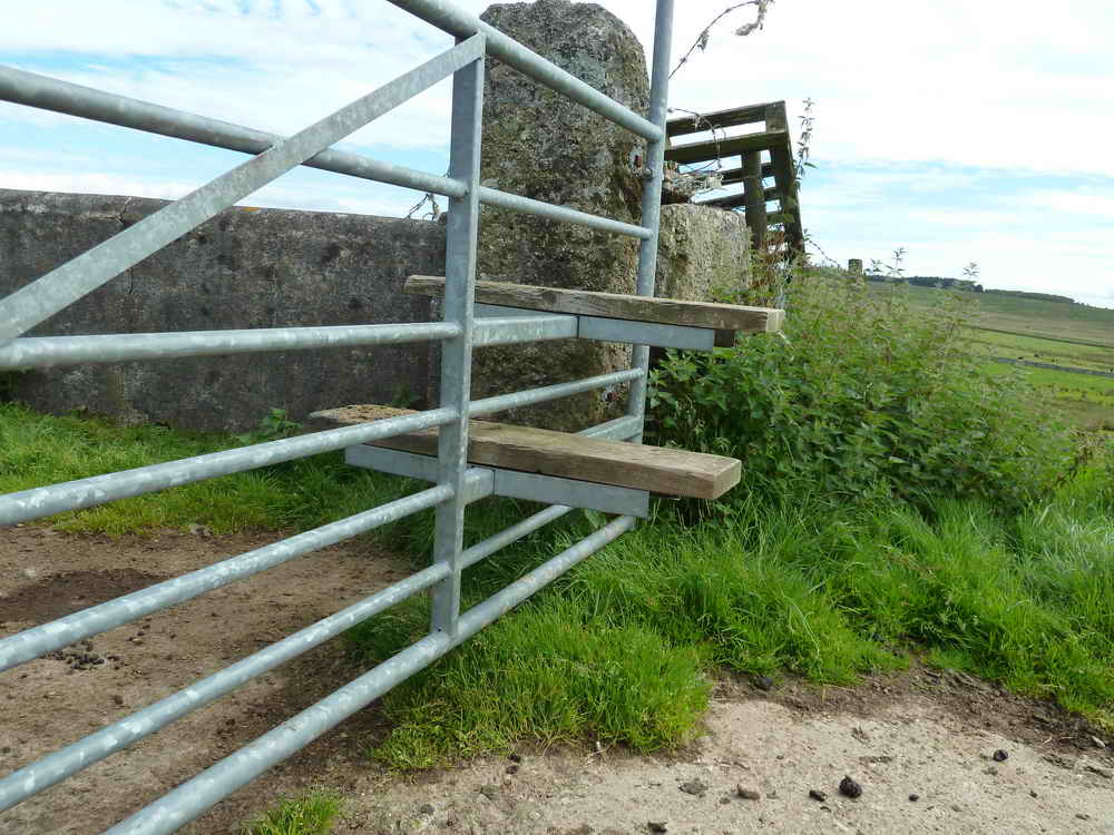
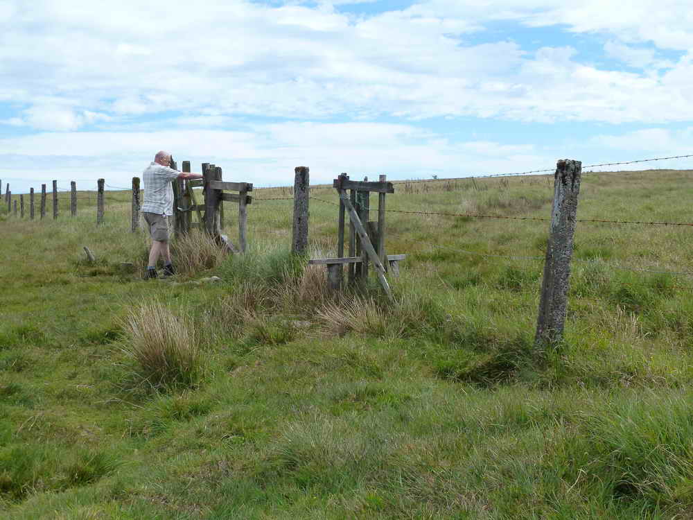
A modern gate stile, slightly odd as the gate is on a latch!
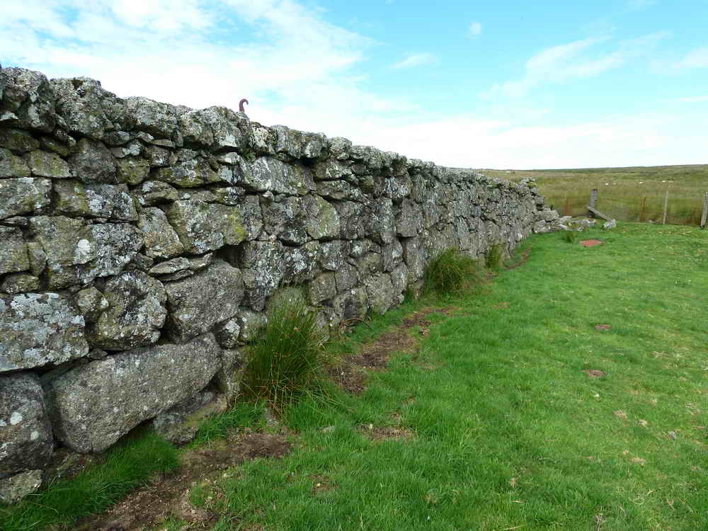
Admired stonework - the hooks in the wall, apparently, are so that helicopters can lift it when it needs moving.
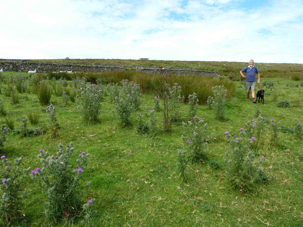
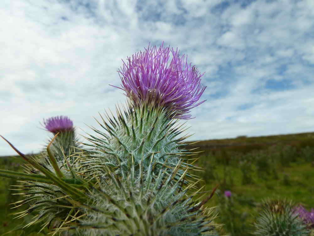
Thistle patch, with at least two species of thistle .....
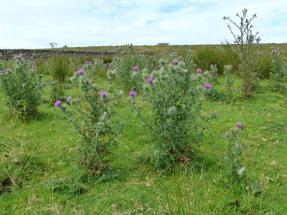
Believed Cirsium vulgare, Spear Thistle. The taller thistle may be Cirsium palustre, the Marsh Thistle.
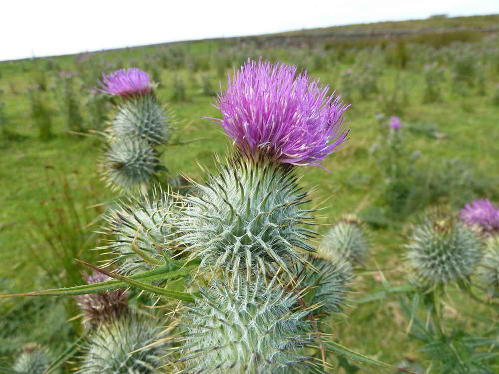
Close-up .....
Last view.
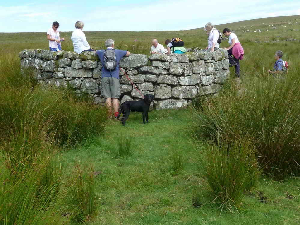
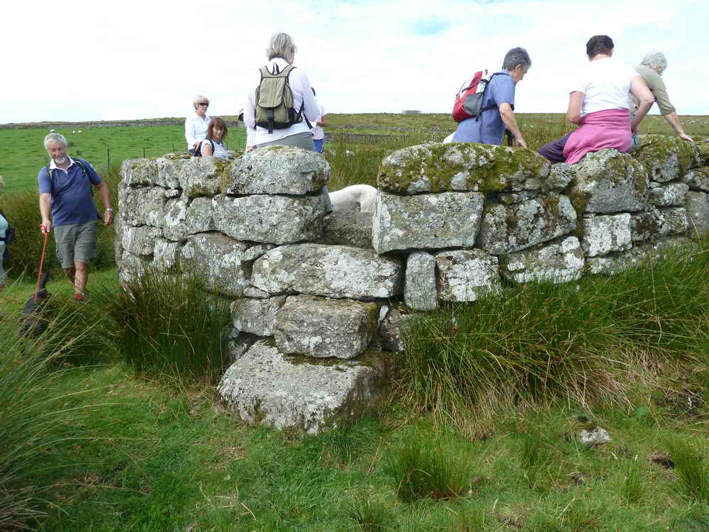
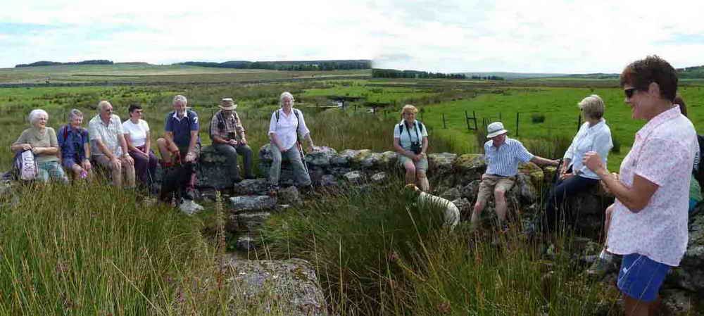
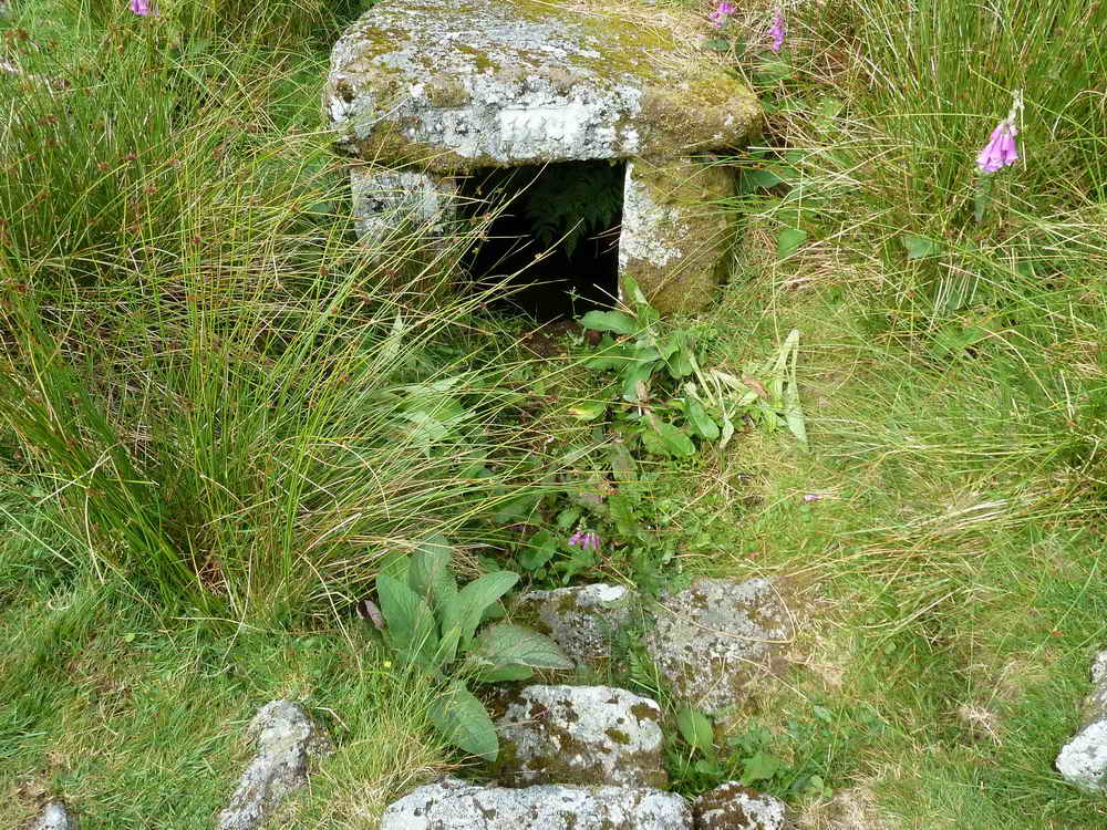
Our destination today, Fice's Well. The story tells that John Fitz (locally known as Fice) and his wife became lost in the mist in this area, eventually coming across the bubbling spring that is now the well. On drinking from the spring, the mist magically lifted and they could see they were close to the Rundlestone and the Princetown road. In gratitude he had a stone shelter erected over the spring. Stories circulated about the well's curative powers, esp. for eye conditions. The circular wall was added in the C19th when the newtake wall was built.
In 1906, a prisoner digging peat 400 yards north of the well found an 18-inch Bronze Age rapier (and numerous oak tree boles). The rapier is now in Plymouth Museum, along with other Dartmoor artefacts.
The entrance to the well .....
General scene .....
| Dartmoor CAM
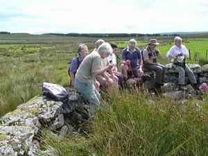
movie Moor Strollers gathered in Fice's Well.
|
|
Click the photo to download File size: 2 MB. Time to download: e.g. 13 secs Length 18 secs |
Caption competition .....
1. What's that dog thinking?
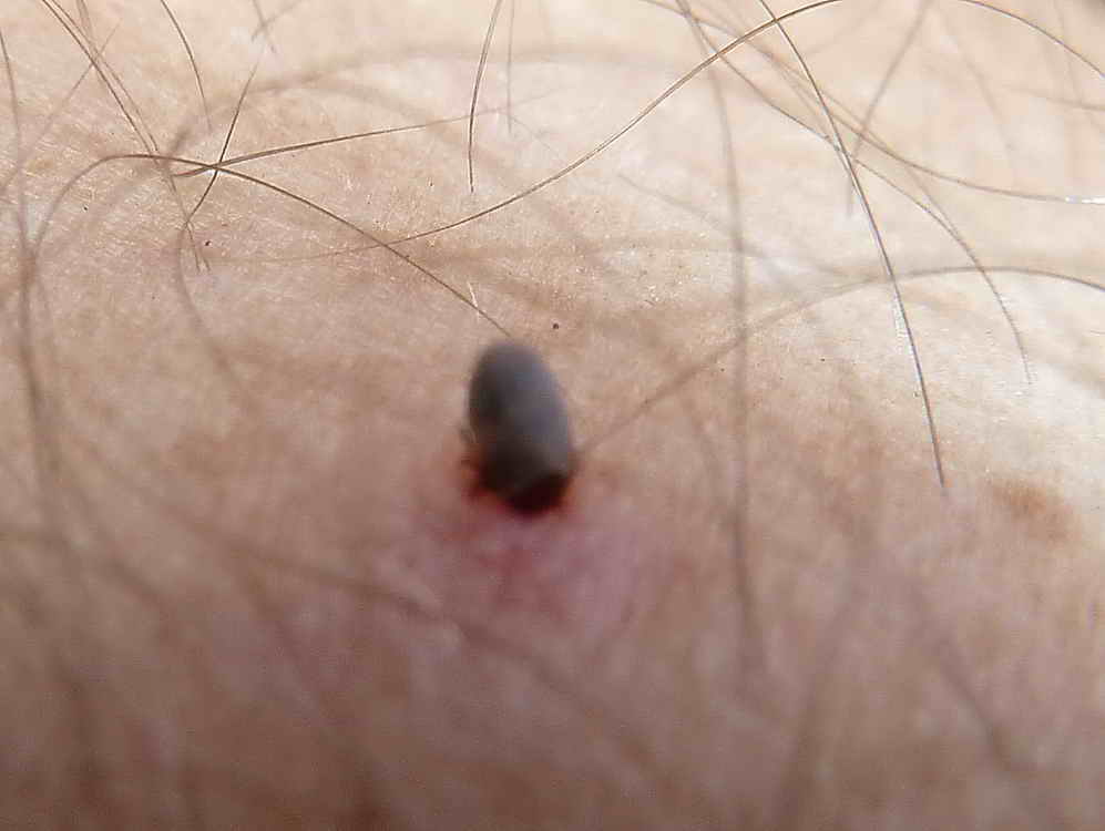
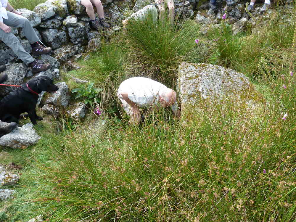
Tick (nymph stage) feeding on Keith's leg - sorry I didn't get it in good focus .....
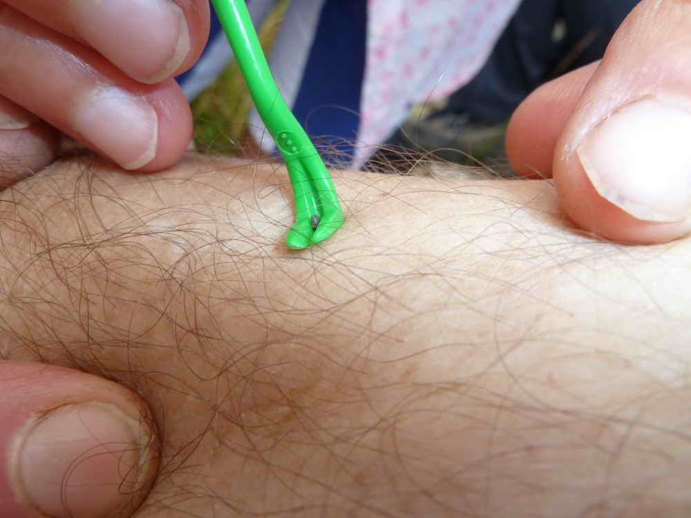
Removal with a tick hook .....
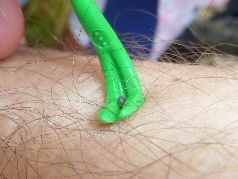
Cropped view.
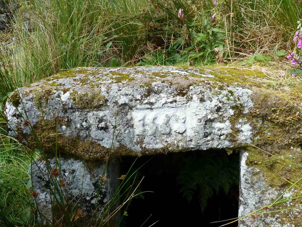
"IF 1568" - signifying John Fitz, where "I" stood for today's "J" .....
Overview from the top of the entrance steps.
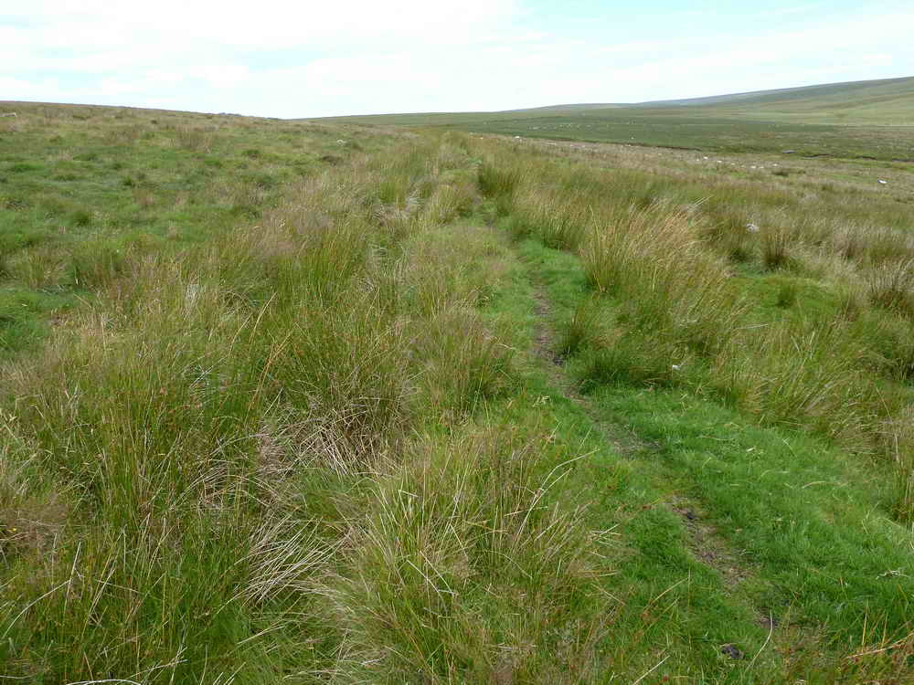
Having climbed the slope to see the Prison Leat, this was it, looking north .....
Looking south.
Gateway back to the Plume of Feathers.
MAP: Red = GPS satellite track of the walk.
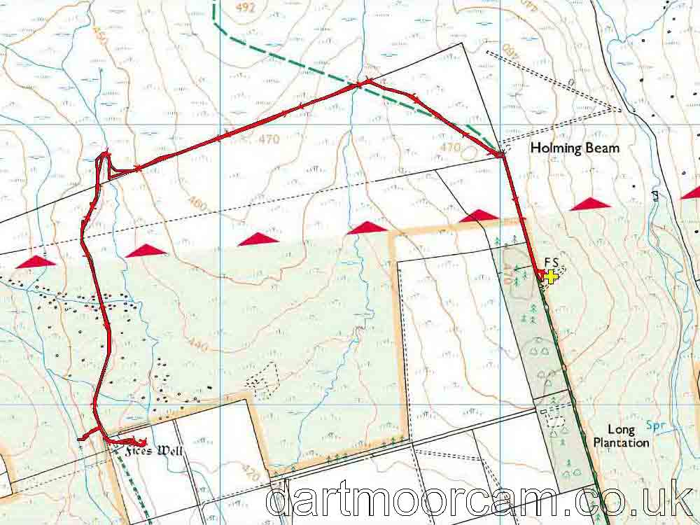
Ordnance Survey © Crown copyright 2005. All rights reserved. Licence number
100047373.
Also, Copyright © 2005, Memory-Map Europe, with permission.
This walk was reached by driving along the small road that runs alongside the Long Plantation. The road starts 1.25 km west of Two Bridges. Parking is in front of and behind the clump of trees/buildings on the right at the end of the road, marked by the yellow cross on the map. NB - This walk goes onto the Merrivale firing range, so check there is no firing scheduled: firing information.
Statistics
Distance - 7.14 km / 4.44 miles
All photographs on this web site are copyright ©2007-2016 Keith Ryan.
All rights reserved - please email for permissions