![]()


This walk: 2009-10-1. Sheeps Tor, Highland cattle, Leather Tor, Sharpitor, corn ditch wall, reeve, Outhome Cist, Gutter Tor, rowan, adit, Usnea lichen, shaft, Yellowmead multiple stone circle, dousing movies.
This walk was a repeat of the same walk the previous day.
Walk details below - Information about the route etc.
Sheeps Tor, from the road in by Nattor, SX 566 682, elevation 369 meters (1210 feet).
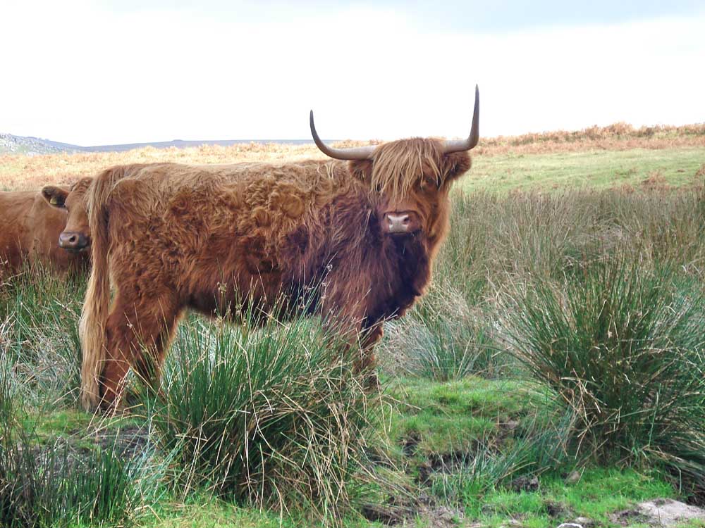
Highland cow, near the Scout Hut (see map below).

Think you're coming up my path, do you?
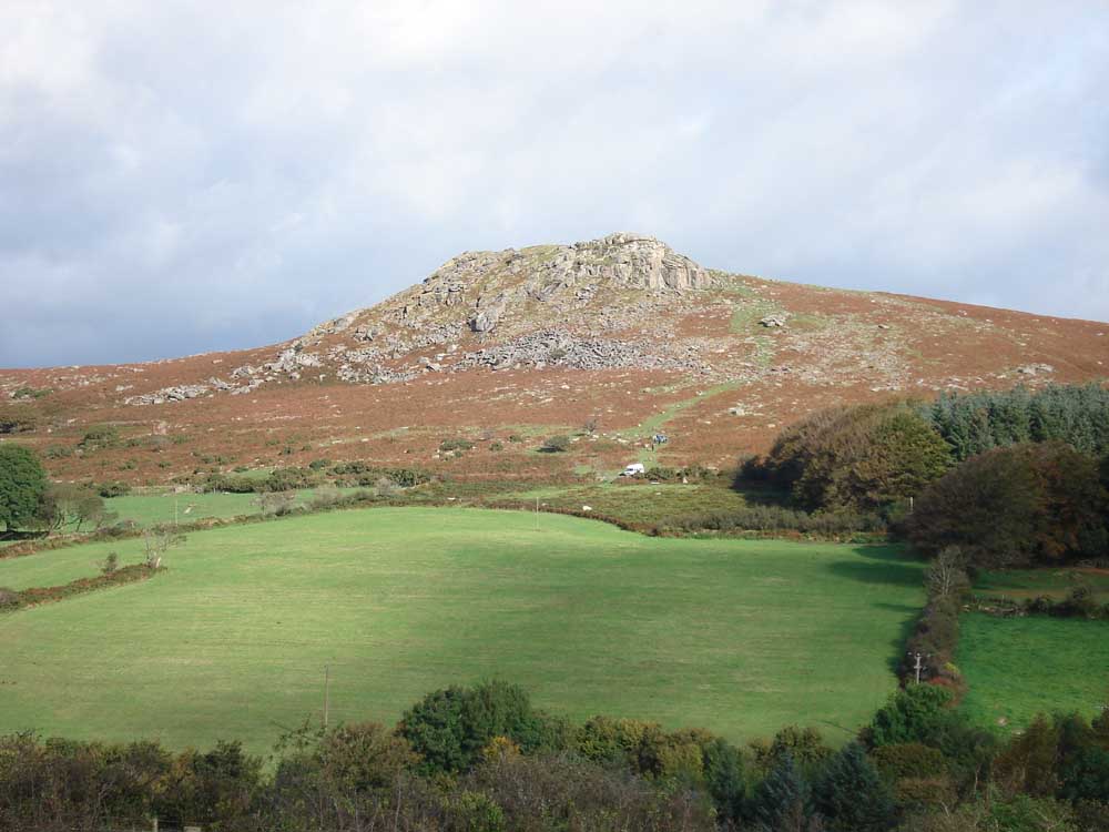
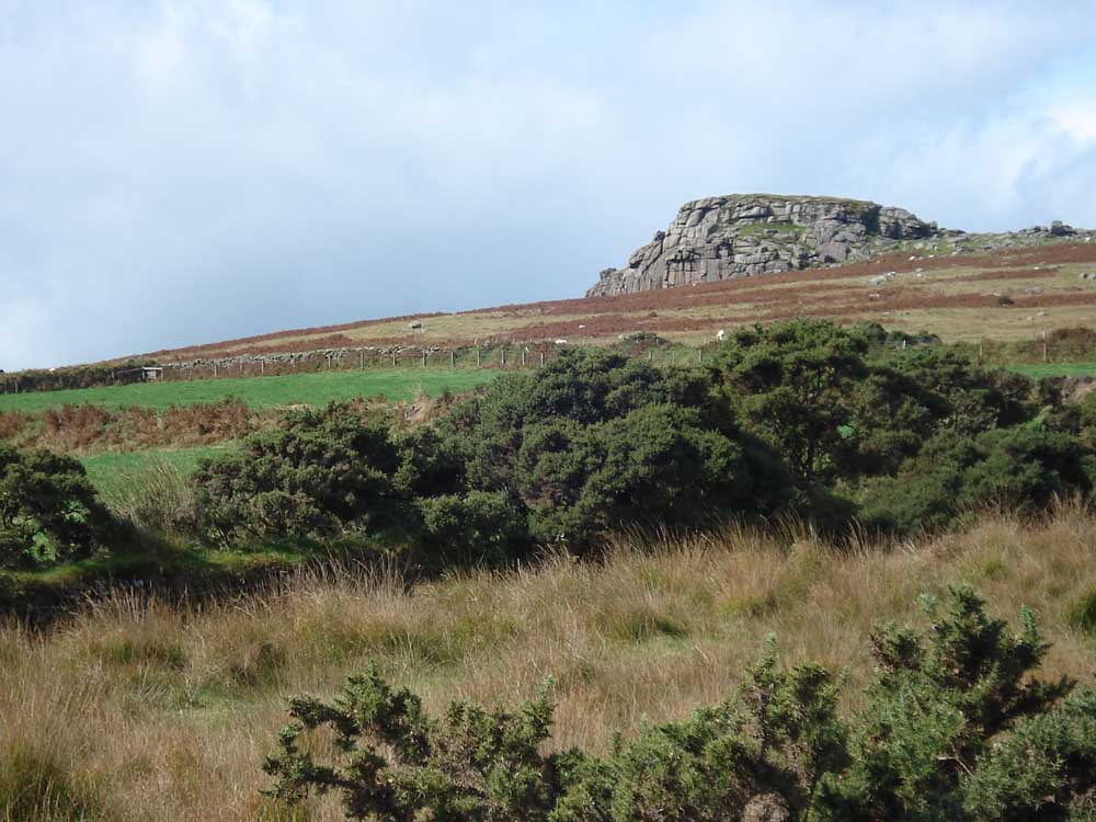
Zoomed view to Leather Tor with Sharpitor behind.

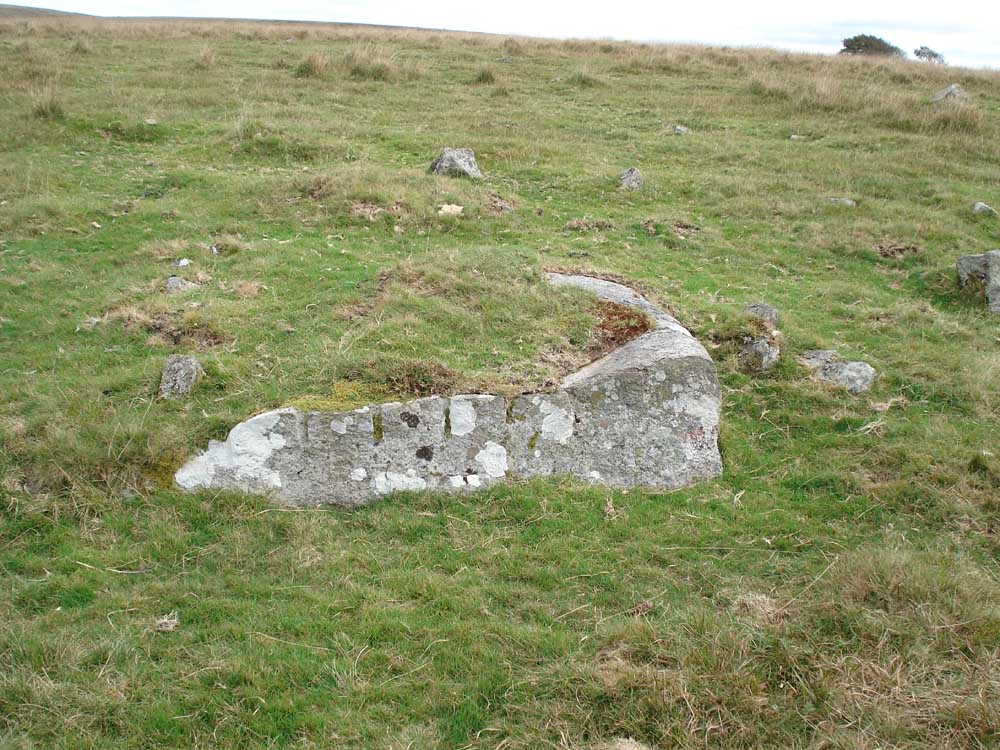
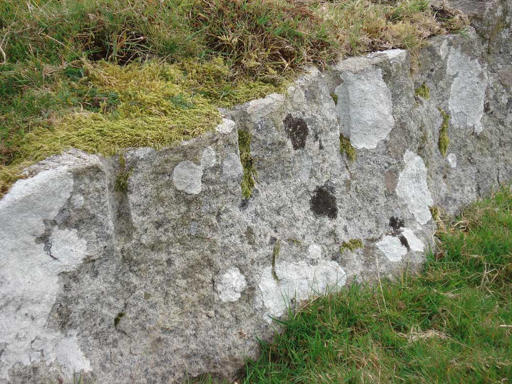
A section of corn ditch wall in the foreground. The steep wall is against the common or open grazing land, enabling animals that breached it, into someone's farmland, to leave easily but hindering their return to the farmland ..... This is at SX 58092 67935 � 5 metres, as located by GPS.
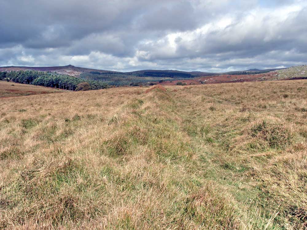
View along a reeve a few metres from where the previous photo was taken, not marked on the map.
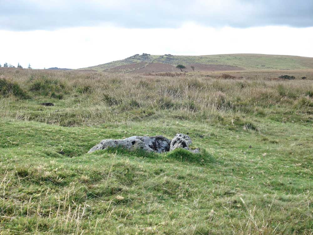
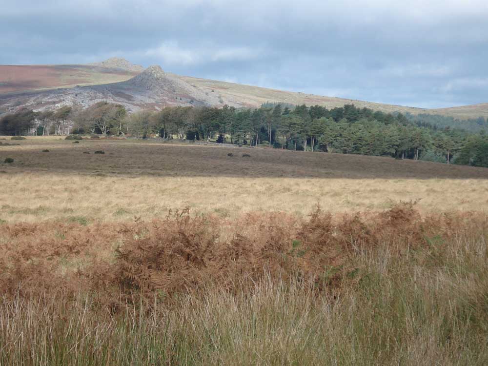
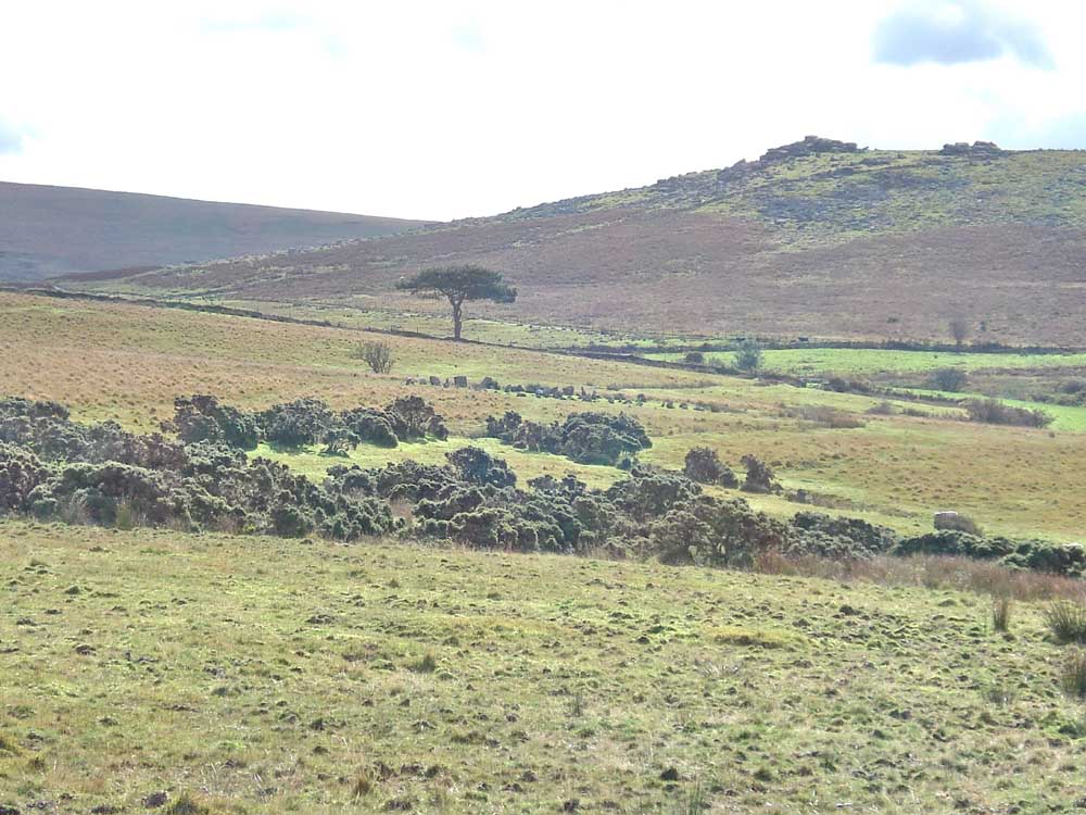
Outhome cist, SX 57995 68278 � 4 metres, with Gutter Tor (SX 578 668, elevation 345 metres, 1131 feet) in the distance.

..... and with Sheeps Tor behind.

Mountain ash, or rowan, with autumn berries.

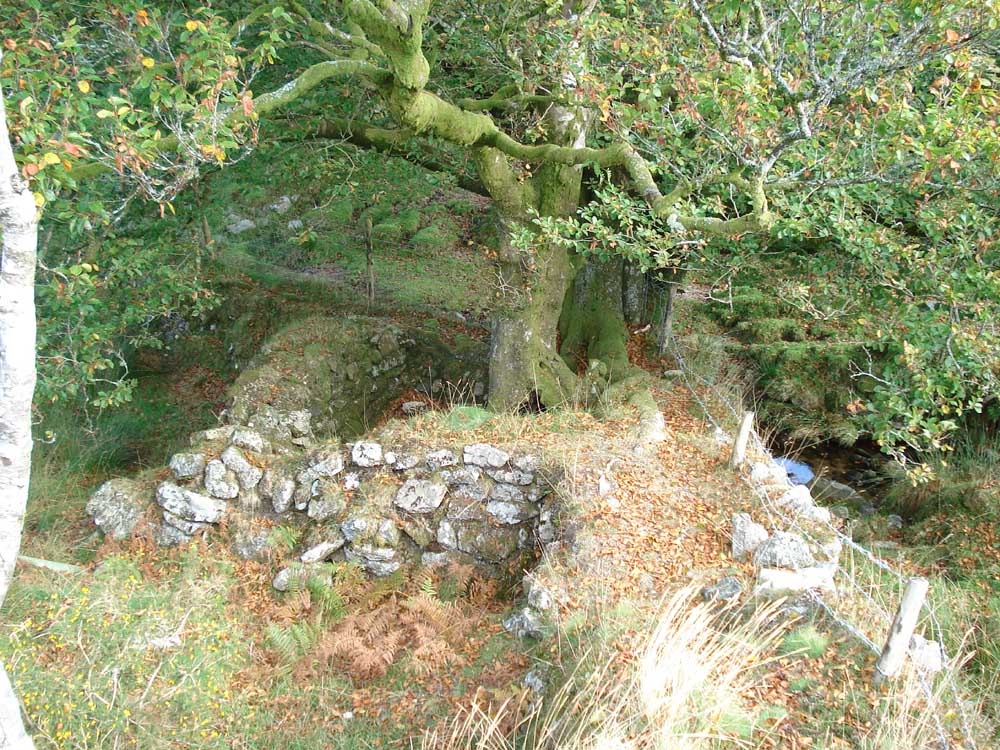
The adit, marked on the map near the cist at SX 57762 68394 � 5 metres. Tip - to find it, cross the second stile going north from the corner of the forest. A path leads down to the left, look for running water draining from the adit. It is a few yards from the stile.
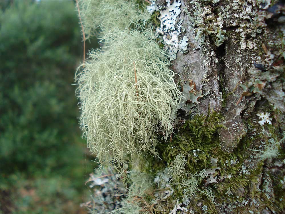
Usnea, a form of beard lichen.
"Shaft" marked on the map, with a tree growing out of it.
A different view of Sheeps Tor.
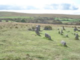
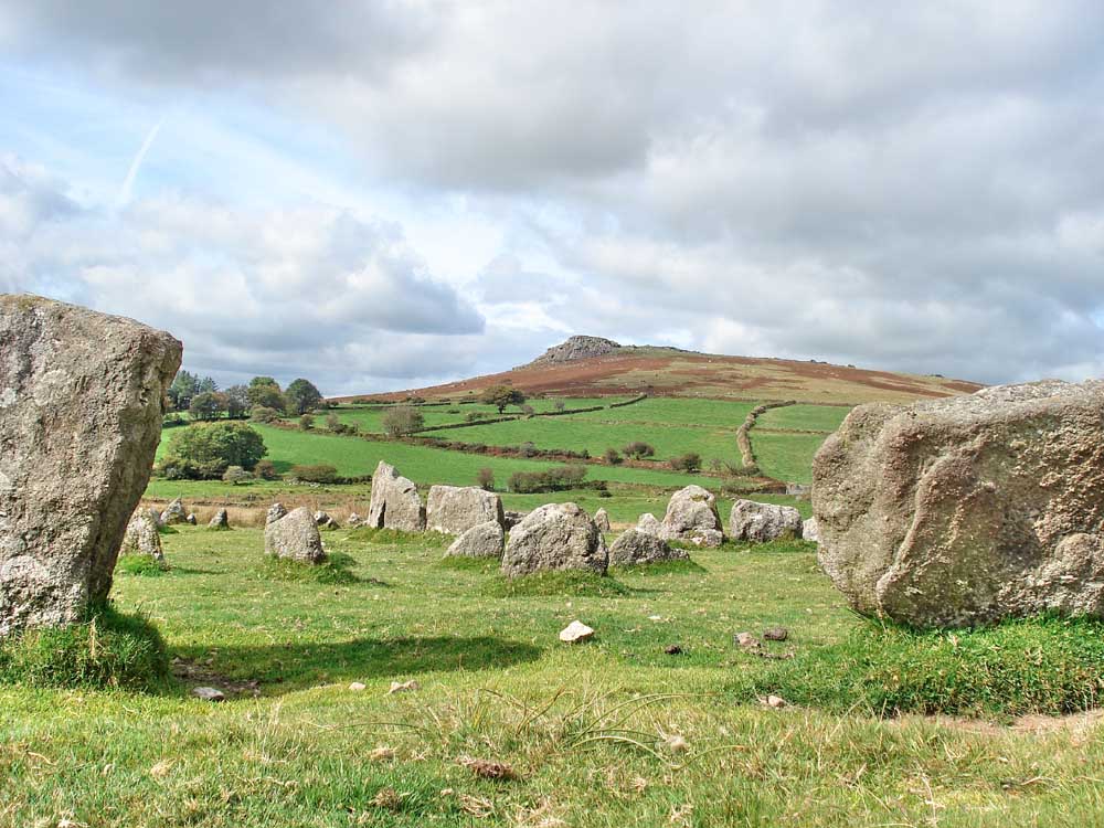
Looking at Yellowmead multiple stone circle in the distance, beyond the gorse but before the tree. Also, see:
Legendary Dartmoor web page (complete with a site plan and the story of the 2008 excavation).
Includes a link to a YouTube video. Also, checkout the menu of other videos on the right side of the web page.
Sheeps Tor, from Yellowmead circle.
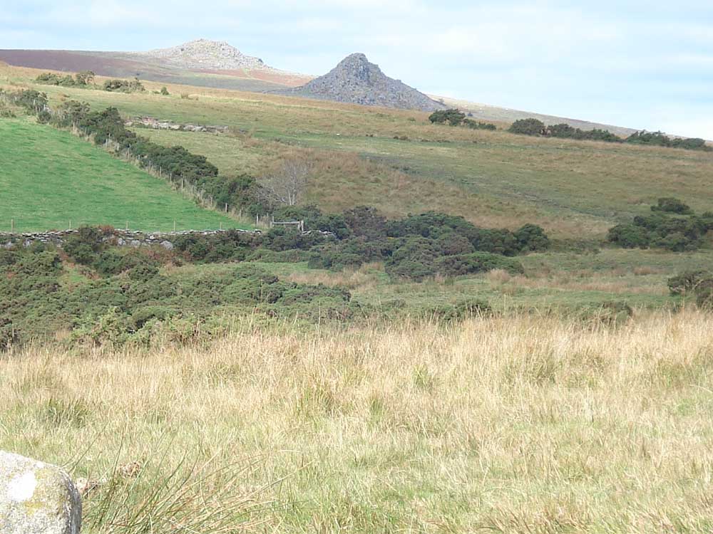
Leather Tor, with Sharpitor behind.

The inner circle of four - the disturbed ground from one of the trenches of the 2008 excavation is in the foreground (see the Legendary Dartmoor web link above).
A piece of moor stone, cut, with feather and tare marks .....
..... a closer look at the feather and tare marks.
Dartmoor CAM movie.
TIPS .....
|
|
| Panorama at Yellowmead Circle |
|
| Dousing on the west side of the circle. The response is seven paces from the centre of the circle. This and the other response below were the only energies we could detect - although I found nothing on this occasion. |
 |
| As previous but in close-up |
 |
| Dousing on the east side of the circle, the response is again just seven paces from the centre of the circle. |
 |
MAP: Blue = planned route, Red = GPS satellite track of the walk.
The blue lines are the compass or GPS bearings. The red line is the route actually walked: it deviates sometimes from the blue lines to avoid obstacles such as thick bracken, gorse, bogs or clitter, and often to use paths or animal tracks that are not on the map. It may also be shorter than the planned (blue) route if the walk is curtailed for some reason.

Ordnance Survey © Crown copyright 2005. All rights reserved. Licence number
100047373.
Also, Copyright © 2005, Memory-Map Europe, with permission.
The walk can be accessed via Yelverton, Dousland, across Burrator dam, through Sheeptor village, driving east to the scout hut, parking nearby at the P symbol/yellow cross on the map.
Statistics
Distance - 5.08 km / 3.16 miles.
Start 10.45 am, Finish 1.40 pm, Duration 2 hr 55 min.
Moving average 3.0 kph / 1.8 mph; Overall average 1.7 kph / 1.06 mph.
All photographs on this web site are copyright ©2007-2016 Keith Ryan.