![]()


This walk: 2010-5-5. Postbridge clapper bridge, road bridge, dippers, East Dart river, moorland crowfoot, willows, Hartland Tor, Braddon Lake, Roundy Park, The Sheepfold, Beehive Hut, fissured granite, grasses, frog, Whinney's Down Brook, lichen, Birch Tor and Vitifer Mine Leat, Higher White Tor, Broadun Ring, cist.
Walk details below - Information about the route etc.
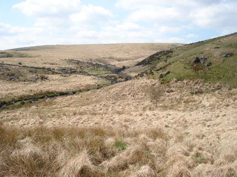
A view further up the Dart valley.

East Dart River.
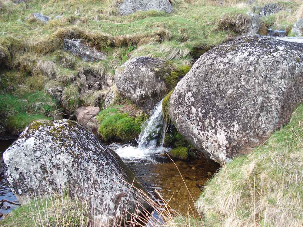
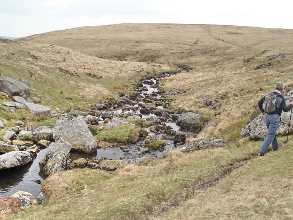
Small waterfall on a tributary stream, on Winney's Down Brook (also known as Whinny's Traw).
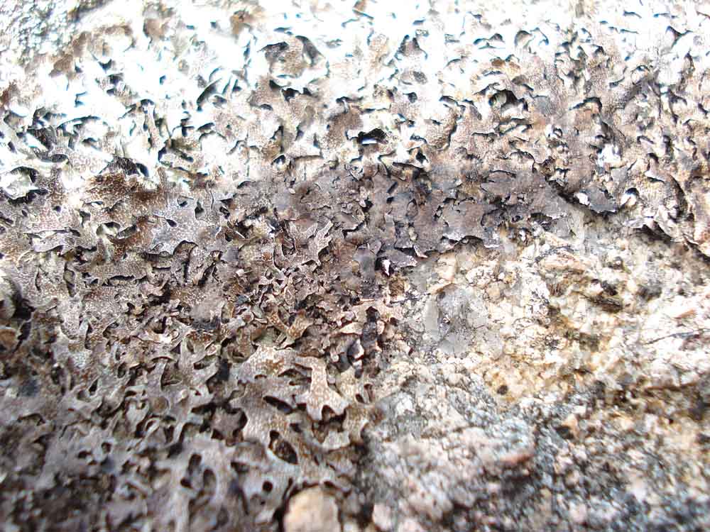
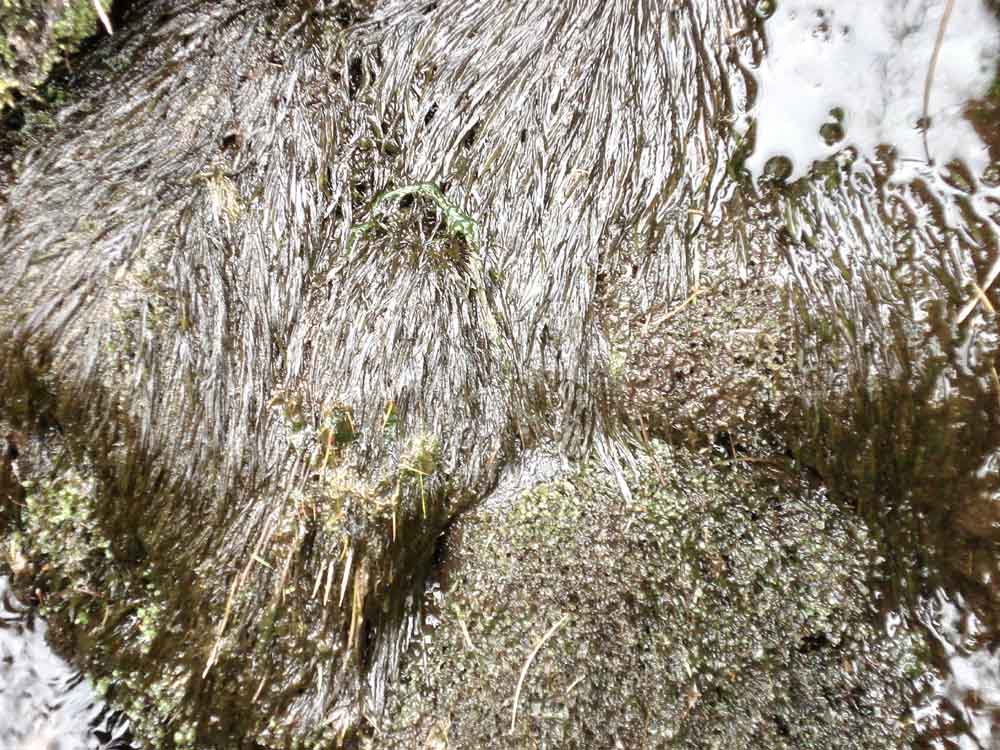
Grey foliose lichen on a rock ..... this may be Crottle (Parmelia saxatilis), featured in a DNPA publication.
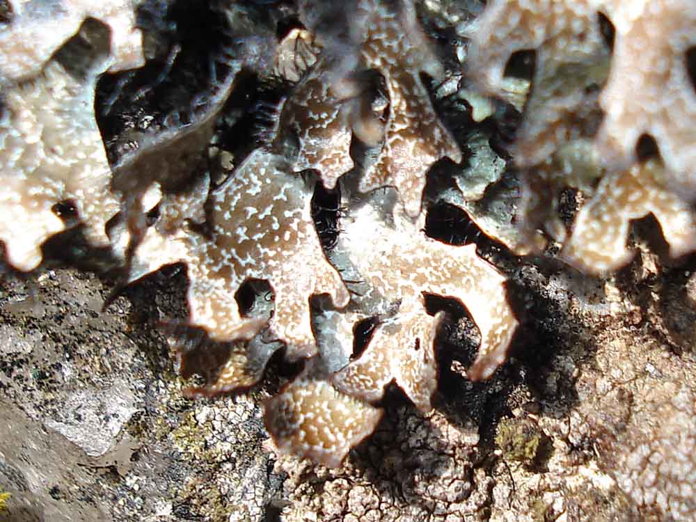
Close-up.
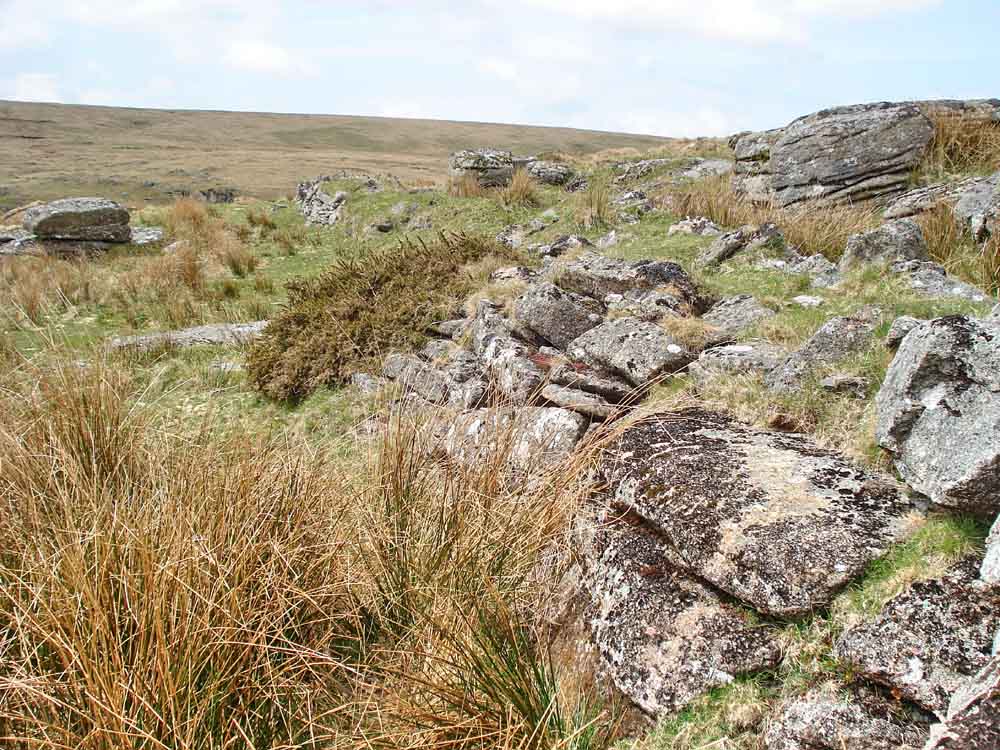
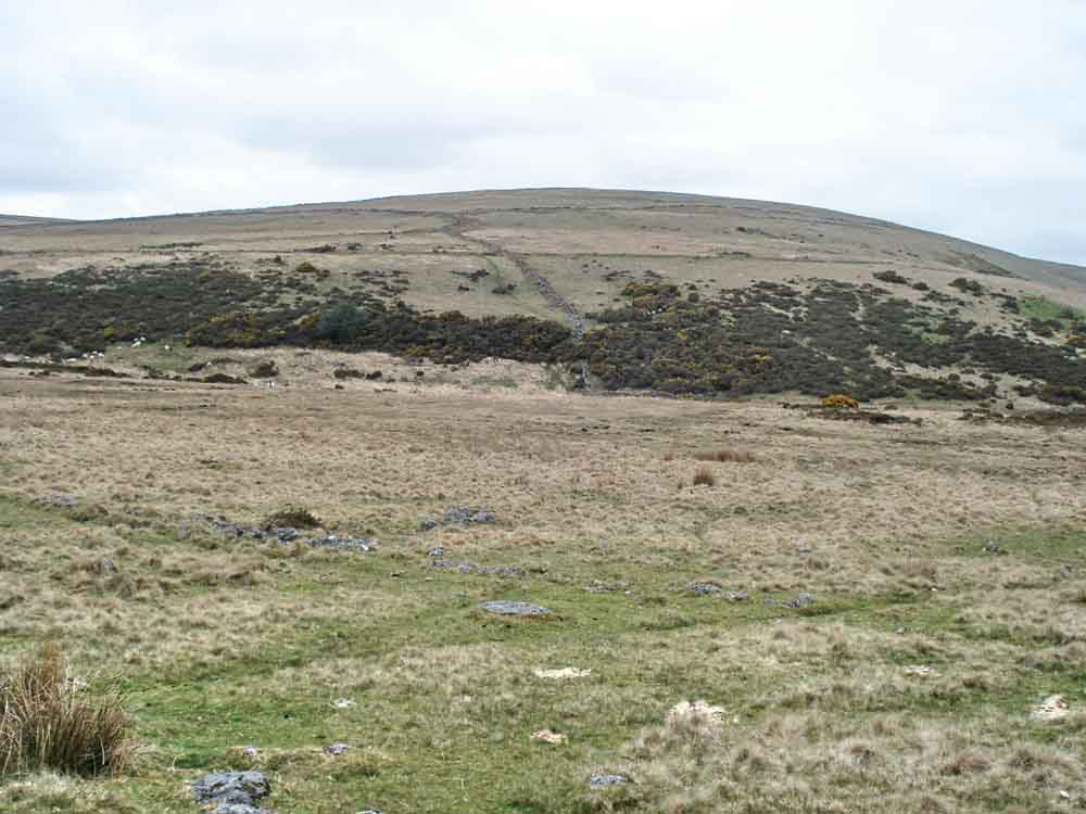
Reinforcing stones of the Birch Tor and Vitifer Mine Leat � to said mines east of the Warren House Inn.

New lamb and mother.
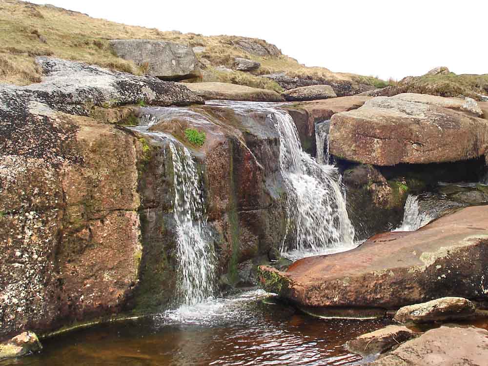
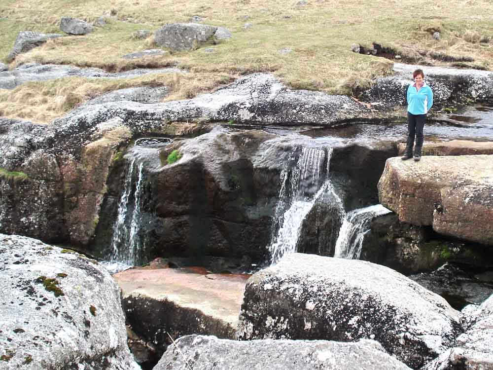
East Dart waterfall .....
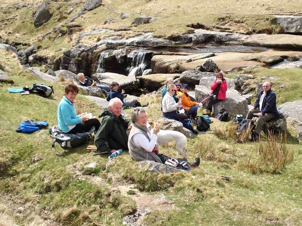
Lunch by the waterfall .....

Another view .....
Another view .....
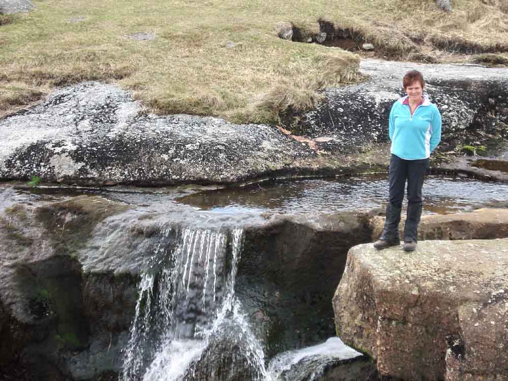
And again.
| Dartmoor CAM movies West Dart waterfall
|
|
|
Click the photo to download If you set the
player to repeat, movies can loop continuously |
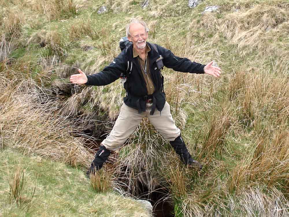
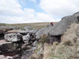
Caption competition, straddling a stream .....
I saw a fish .....
I�d walk a million miles for one of your smiles, oh Mammy!
.........�. the ticks on Pu Tor are this big
Keith can�t decide which leg to get over
On top of the world, Ma
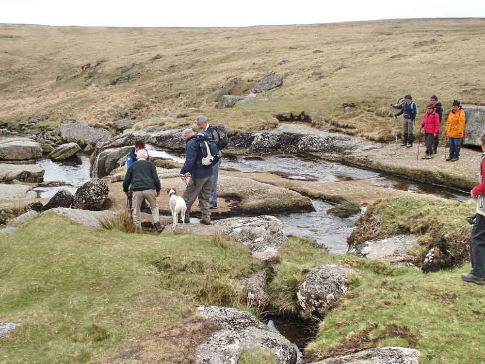
Crossing the waterfall .....

As previous photo.
Looking down the East Dart from the waterfall area, with the track leading over Broadun
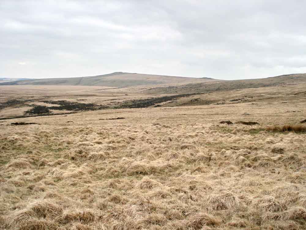
Lonely view across to Higher White Tor, SX 619 785, elevation 527 metres (1728 feet).
A "black plant" in a stream.
View northish to Broadun, Broadun Ring (Bronze Age settlement) to the right appearing as an ellipse
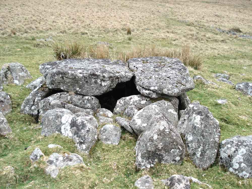
Large kistvaen with two cap stones just outside Roundy Park, SX 63921 79671 � 2 metres .....
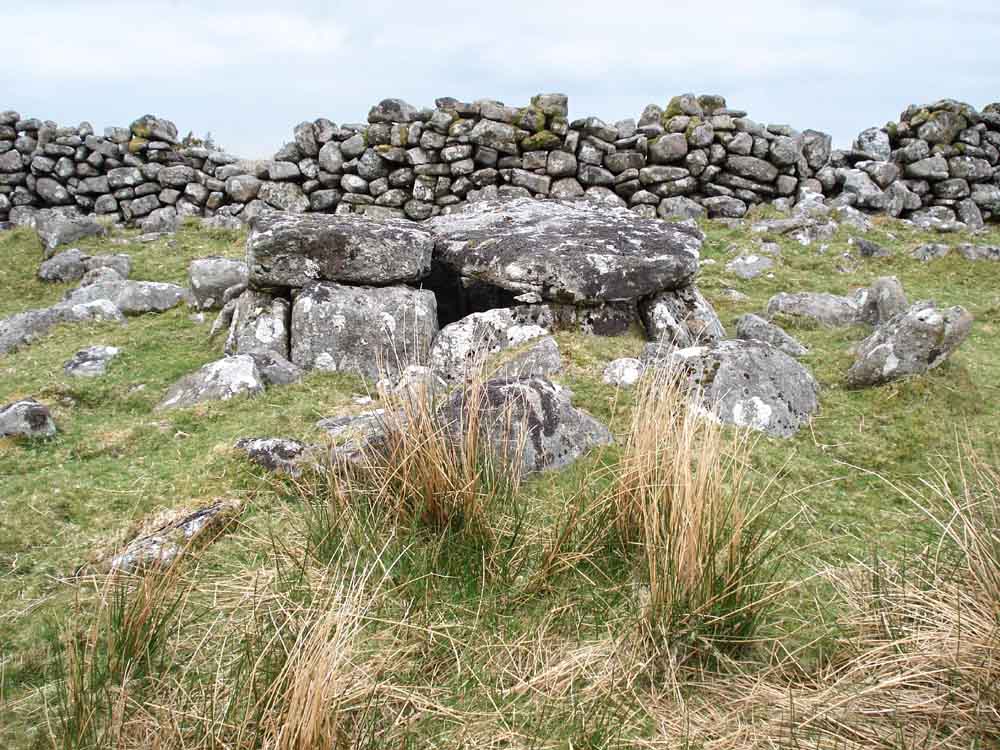
Another view, showing the wall of Roundy Park behind.
MAP: Red = GPS satellite track of the walk.
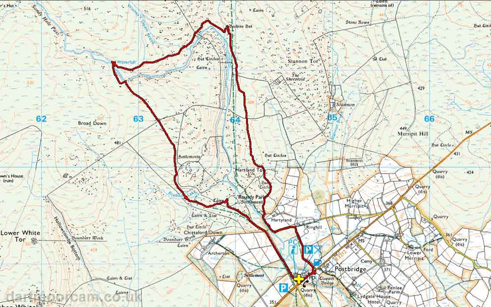
Ordnance Survey © Crown copyright 2005. All rights reserved. Licence number
100047373.
Also, Copyright © 2005, Memory-Map Europe, with permission.
The walk was accessed easily from the Tourist Information car park in Postbridge at roads, marked by the yellow cross on the map.
Statistics
Distance - 8.91 km / 5.54 miles
All photographs on this web site are copyright ©2007-2016 Keith Ryan.
All rights reserved - please email for permissions