


This walk: 2010-8-5. Ford and clapper bridge, ancient trees, Abbot's Way, Water Oak Corner, Avon Reservoir, Brockhill Ford, cairn circle & cist, fox moth caterpillar, oddities, Huntingdon cross, wheel pit, pale-flowered cross-leaved heath, soft shield fern, Keble Martin's chapel, cross, Huntingdon Warren farm, Western Wella Brook clapper bridge, Dartmoor submarine, sycamore tree, Heap of Sinners, Huntingdon Barrow, gert, Pupers Rock, IHS, Outer Pupers, Inner Pupers, pineapple weed, BAT stone.
Walk details on Page 2 - Information about the route etc.
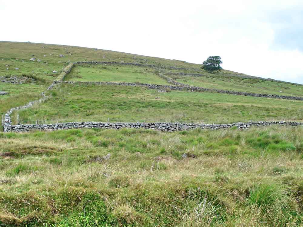
Walls of Huntingdon Warren farm - why a farm out here? Probably, it was to support the miners of Huntingdon or Devon Consols tin mine that was also here. The hill behind is the large, 600 acre Huntingdon Warren, where many pillow mounds can be found ..... The tree in the background was mentioned (and seen, in the distance) from Eastern Mill Burrow (the Dartmoor Submarine) on 8th July 2010.

Google Earth aerial image showing rabbit warreners' pillow mounds for breeding rabbits on Huntingdon Warren (the long bumps on the ground). The bottom-most photo-link (the small blue square) is for Huntingdon Cross and the top-most one is for Keble Martin's chapel (they won't work in this image, only on Google Earth).

The clapper bridge over Western Wella Brook, where there is also a ford.
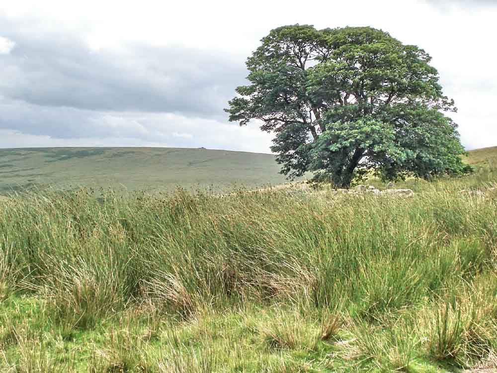
The Huntingdon Warren Farm tree and the Dartmoor Submarine.
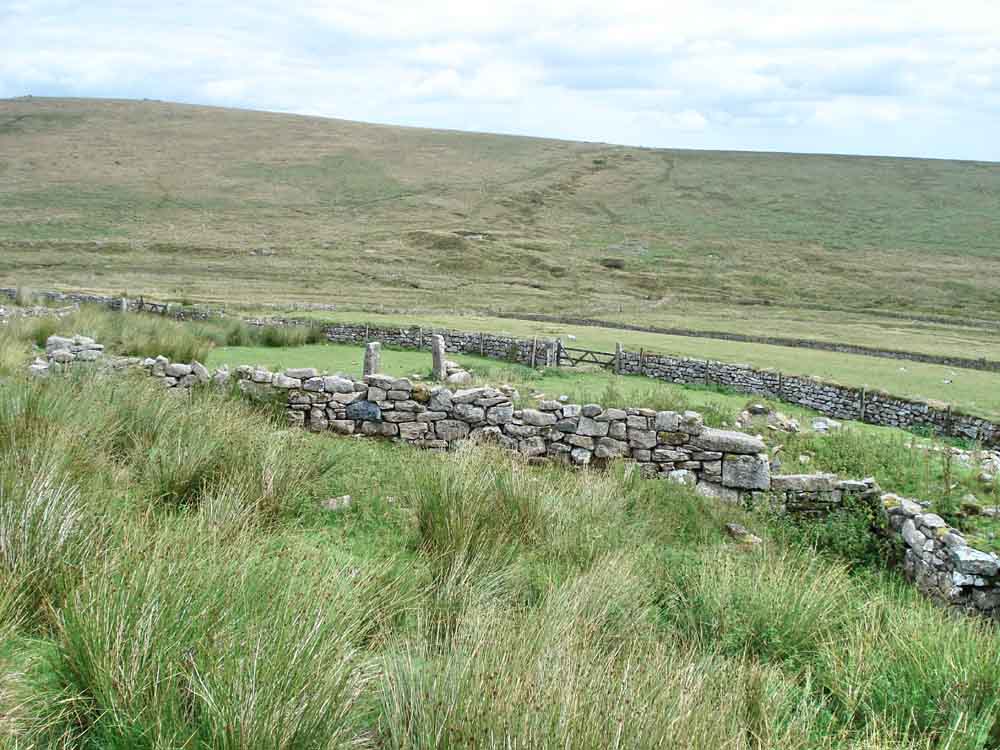
A general view of the farm gates etc.
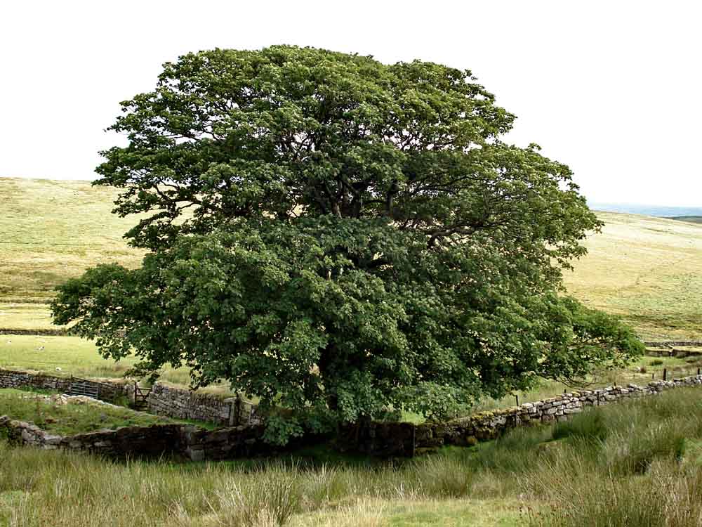
The tree ..... described somewhere as an elm .....

..... is a sycamore tree.
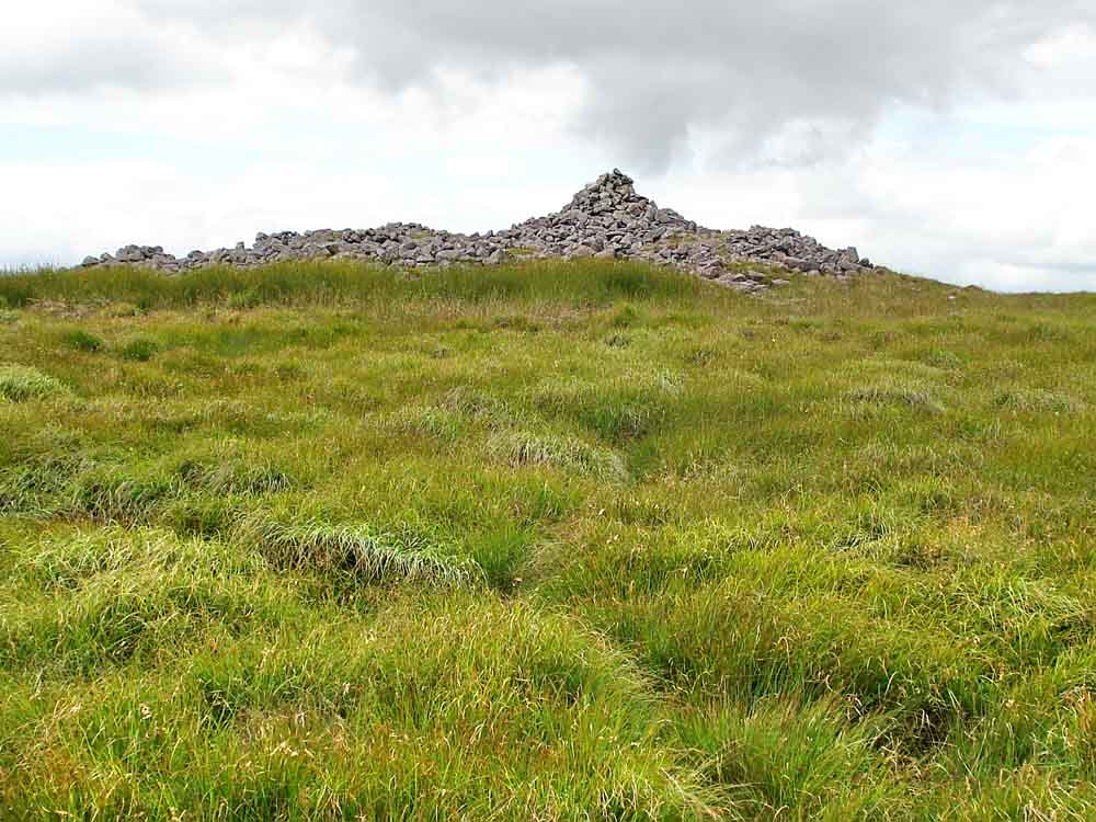
Up the hill to Huntingdon Barrow or The Heap of Sinners cairn ..... if you go up here, take the track more r less straight up the hill from the tree, anywhere else can prove "lumpy" underfoot!

From the Heap of Sinners to Eastern Mill Barrow .....

A tin mining gert from the top of the hill down towards the farm.

View of the Avon Reservoir seen on the way down the hill to the farm .....
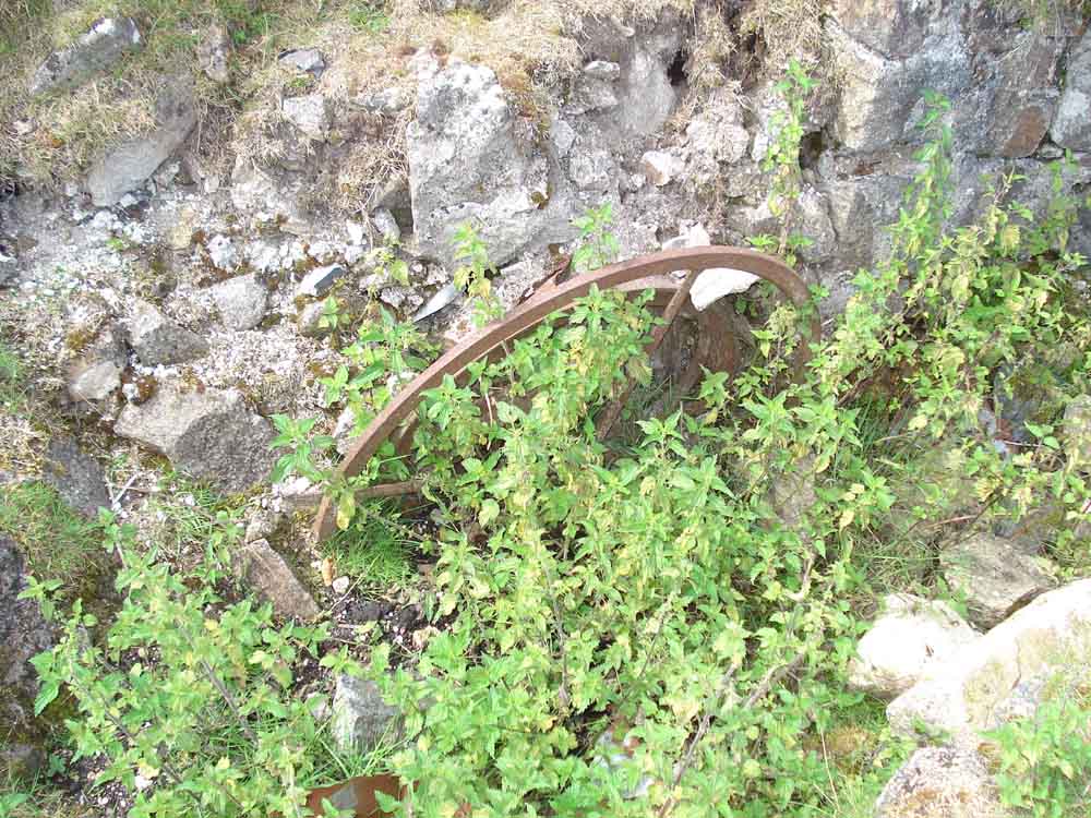
An old iron wheel artefact remaining in the farm yard area .....
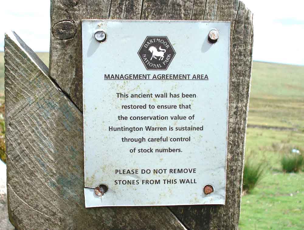
Notice on a gate .....

Another view inside the farm.

Pupers Rock, SX 6728 6736. The name is said to derive from "piper" and there is an old legend about a piper and dancers enjoying themselves on the Sabbath and being turned to stone, see here (bottom of the page) .....
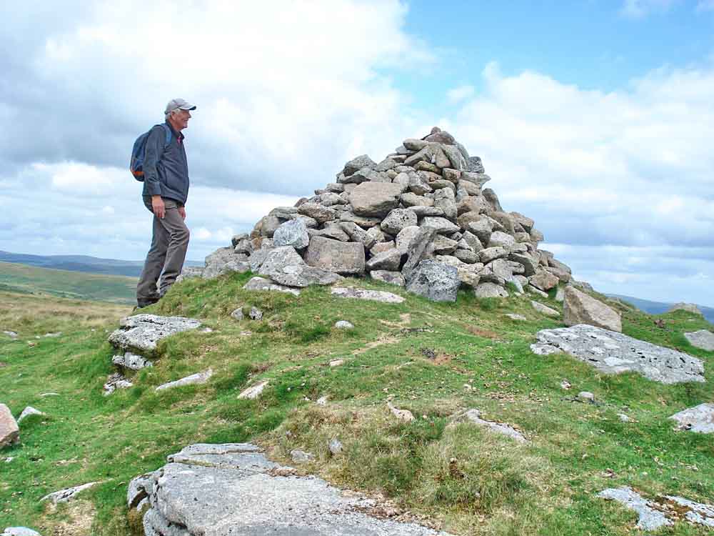
The cairn .....
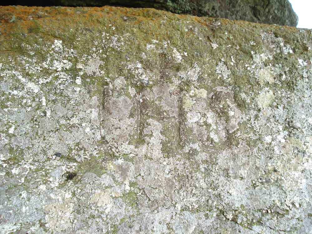
IHS, at SX 67291 67374 � 4 metres, Elevation 457 metres (1499 feet), signifying: Iesu Hominum Salvatore, meaning Jesus the Saviour of Man, with a small incised cross centred above the H. This is often found on tombstones and here it is probably a memorial to someone now forgotten .....
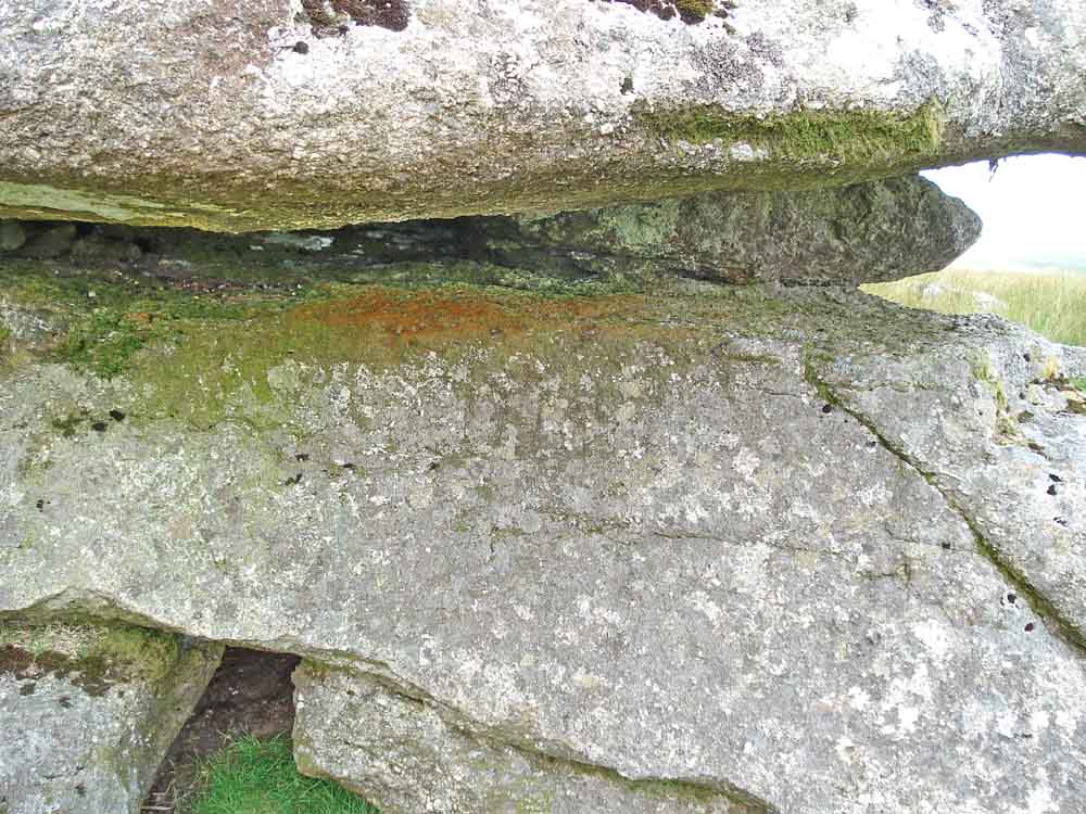
A more over-all view of the location ....

And again, this is a south-west facing rock face but is not at the most south-westerly part of the outcrop.
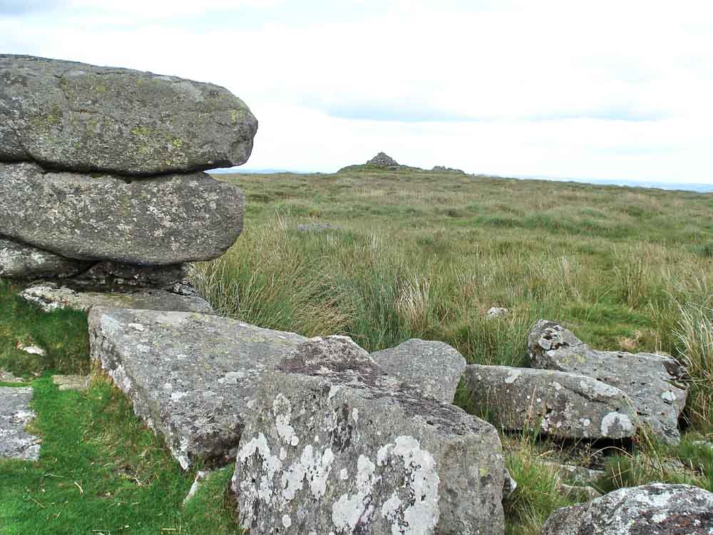
From Outer Pupers to Pupers Rock .....
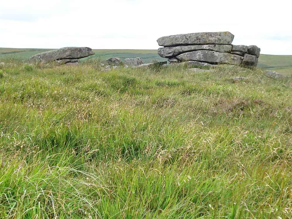
Looking back at Outer Pupers .....
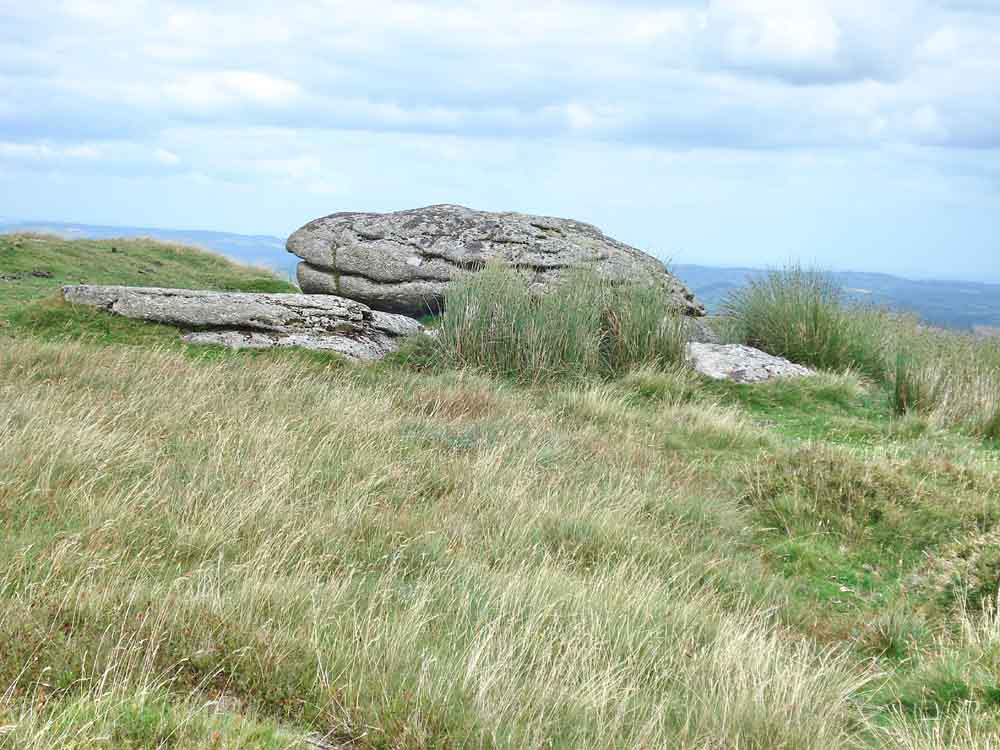
Inner Pupers.
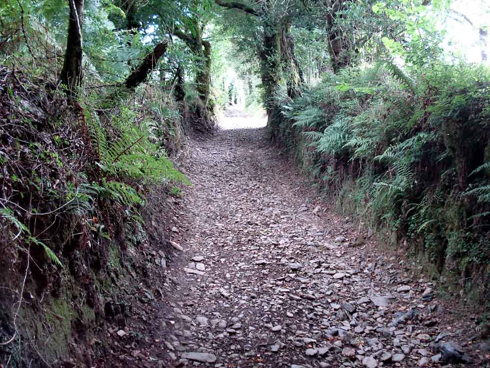
The lane beyond Lud Gate, very narrow and dark.

Once back on the tarmac'd road, this plant was seen growing on the verge. It grew as a weed on the family farm, particularly on "hard" paths. It has puzzled me for over fifty-years and today I found out what it is - Pineapple weed, Matricaria discoidea. It smells very like pineapple when it is crushed, particularly the flower heads. It is a relative of the mayweeds and chamomiles.

The BAT stone, at SX 6989 6680, beside the Cross Furzes junction. B, A and T signify Brent, Ashburton and Tavistock. The B faces towards South Brent, the A towards Ashburton etc. Note the odd, flat-topped A, I wonder if the mason started to carve a T in error .....
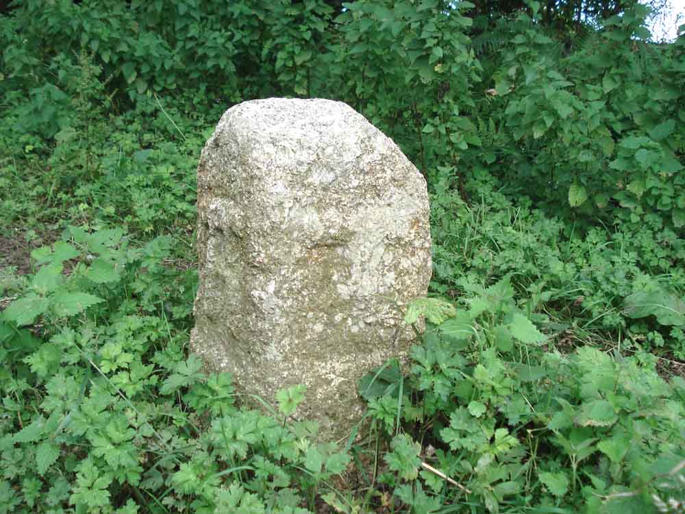
The angular-topped 'A' and 'T' faces .....
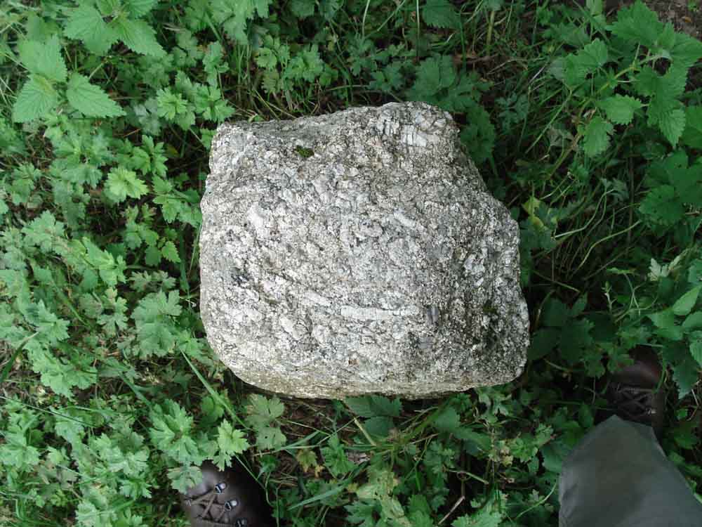
Top view, showing the stone to have four faces and not three as seen elsewhere (here, 27 May 2010, top of the page) and here (25 Nov 2009, bottom of the page) on the moor at Hemsworthy Gate.
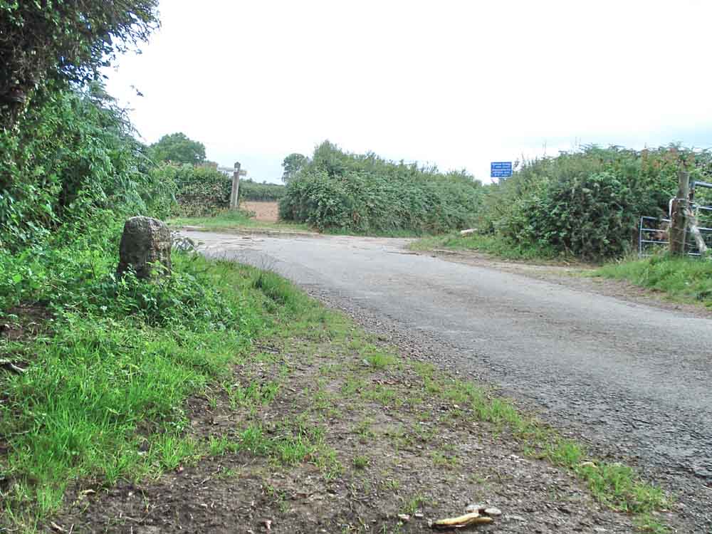
The stone near the Cross Furzes road junction, with roads to Buckfastleigh (2�), Combe Scorpiton (1) and Hayford. We appoached from the top left, walking towards the car towards bottom right.
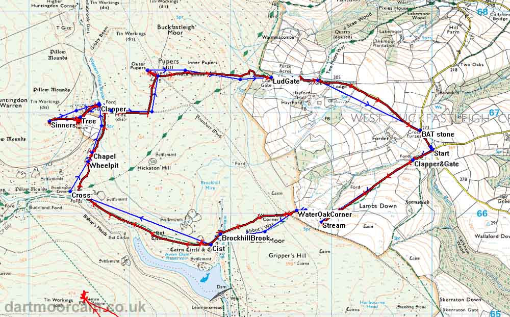
MAP: Blue = planned route, Red = GPS satellite track of the walk.
The blue lines are the compass or GPS bearings. The red line is the route actually walked: it deviates sometimes from the blue lines to avoid obstacles such as thick bracken, gorse, bogs or clitter, and often to use paths or animal tracks that are not on the map.
Ordnance Survey © Crown copyright 2005. All rights reserved. Licence number
100047373.
Also, Copyright © 2005, Memory-Map Europe, with permission.
This walk was accessed via roads from Buckfastleigh going by Coxhill Cross, Wallaford Cross, to park at the junction where there is a road to the right just before the Cross Furzes junction. The parking space is on the verge and takes about four or five cars, at the "Start" label on the map above. These roads are quite narrow in parts.
Statistics
Distance - 11.7 km / 7.27 miles
Start 10.20 am, Finish 3.45 pm, Duration 5 hr 25 min
All photographs on this web site are copyright ©2007-2016 Keith Ryan.
All rights reserved - please email for permissions